Maps & PrintsBartele Gallery · Langweer
Home / Antique Maps / Europe / Western Europe / United Kingdom & Ireland

United Kingdom & Ireland · 18th century

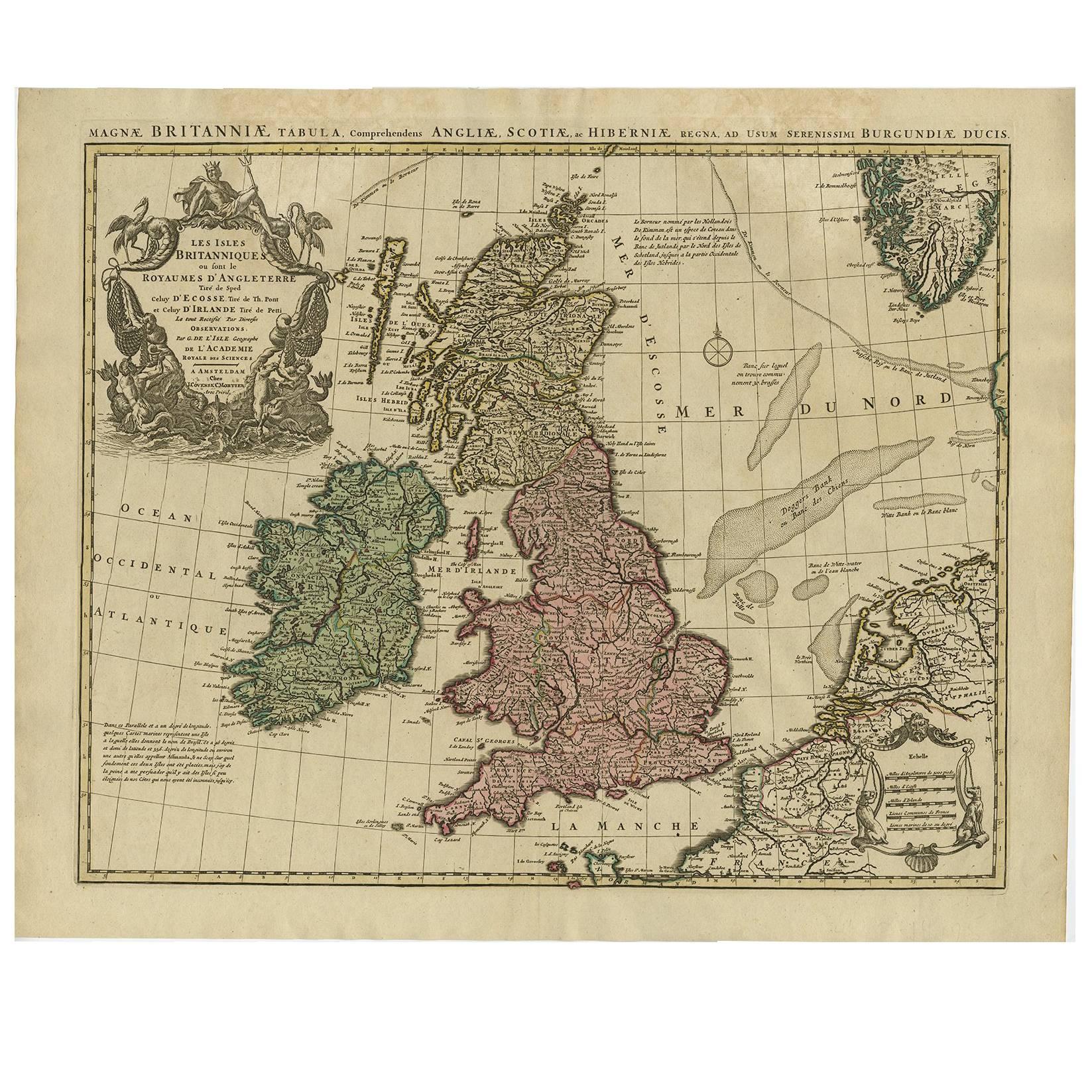
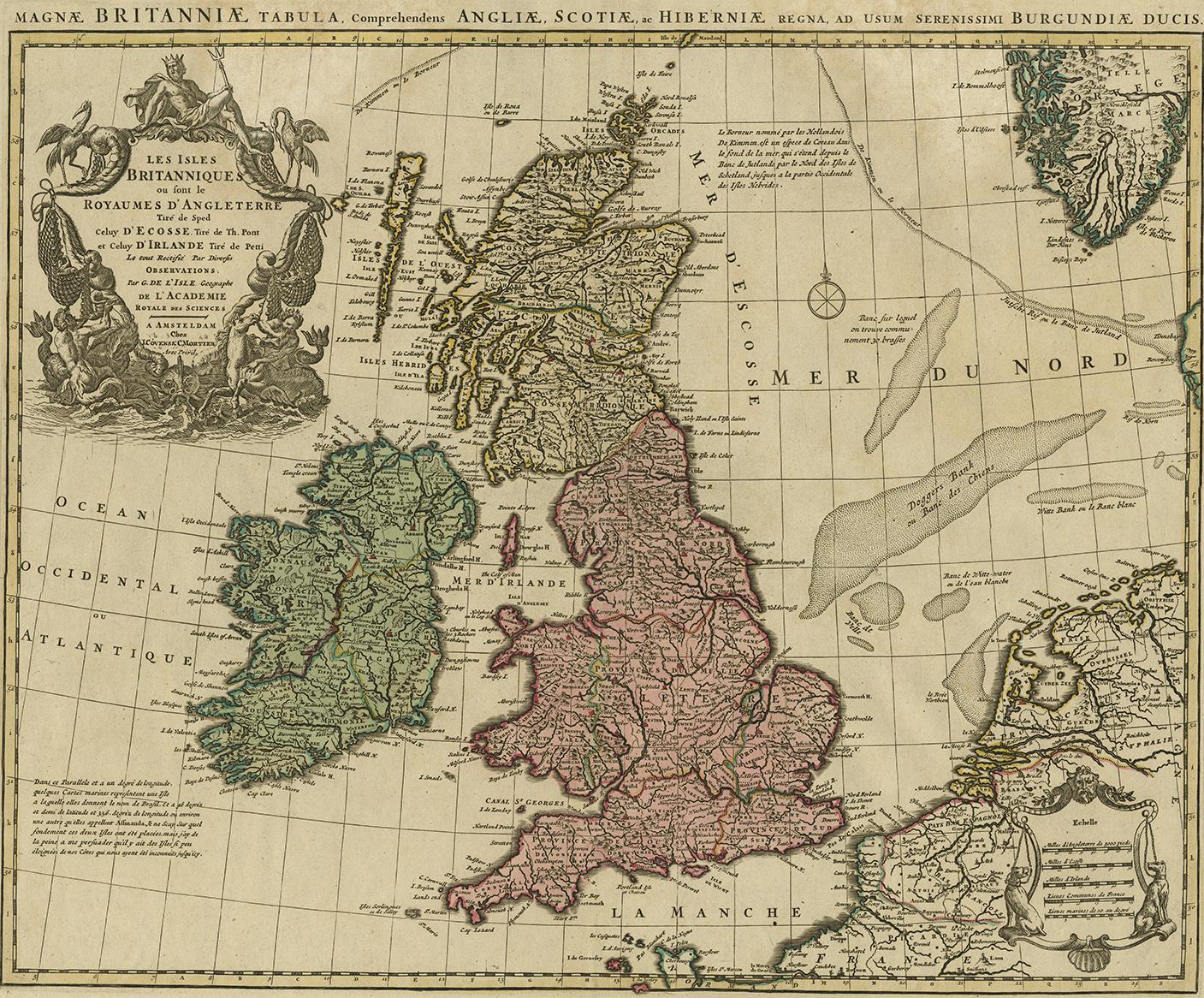
Antique Map of the British Isles by Covens & Mortier, 1730

€ 650

One of a kind: this is the sheet in the photographs. Ships from Langweer, the Netherlands.

Date
1730
Mapmaker / artist
Covens & Mortier (Artist)
Sheet size
53 × 65.5 cm (20.9 × 25.8 in)
Condition
Good
Reference
BGI-00097

Condition

Please study image carefully.
About this sheet

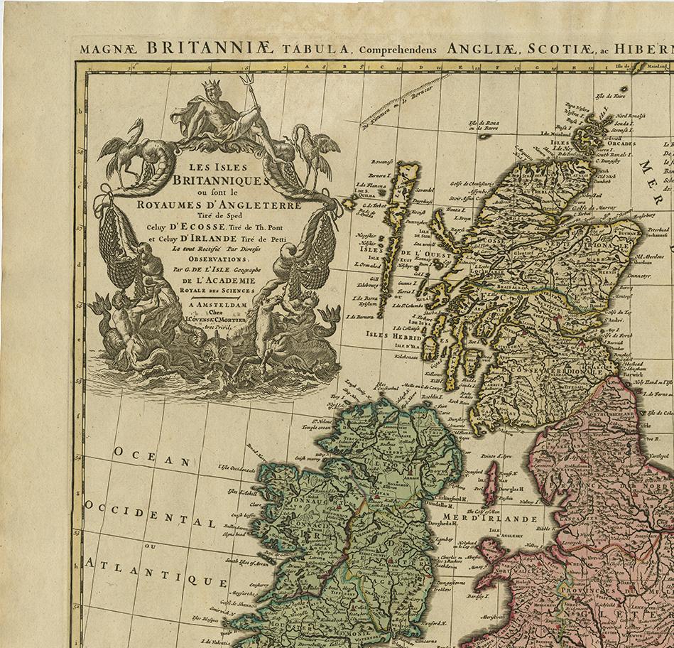
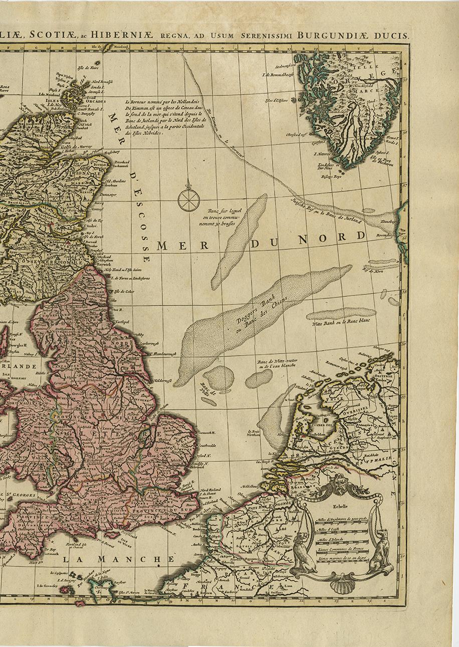
Covens and Mortier's attractive double-page engraved map of the British Isles, based on the 1702 De L'Isle map. The map features a large cartouche in the upper left comprised of numerous sea-related elements and topped by Poseidon.

More from United Kingdom & Ireland

Ask about this sheet

Antique Map of the British Isles by Covens & Mortier, 1730
1730 · Ref. BGI-00097 · € 650
We reply by email, usually within one working day.