Mid-18th Century Antique World Map by R. & J. Wetstein, Netherlands
€ 2 500
One of a kind: this is the sheet in the photographs. Ships from Langweer, the Netherlands.
Sheet size
39.4 × 54 cm (15.5 × 21.3 in)
Condition
Good
Reference
BG-02468
Condition
Very good condition, please study image carefully.
About this sheet
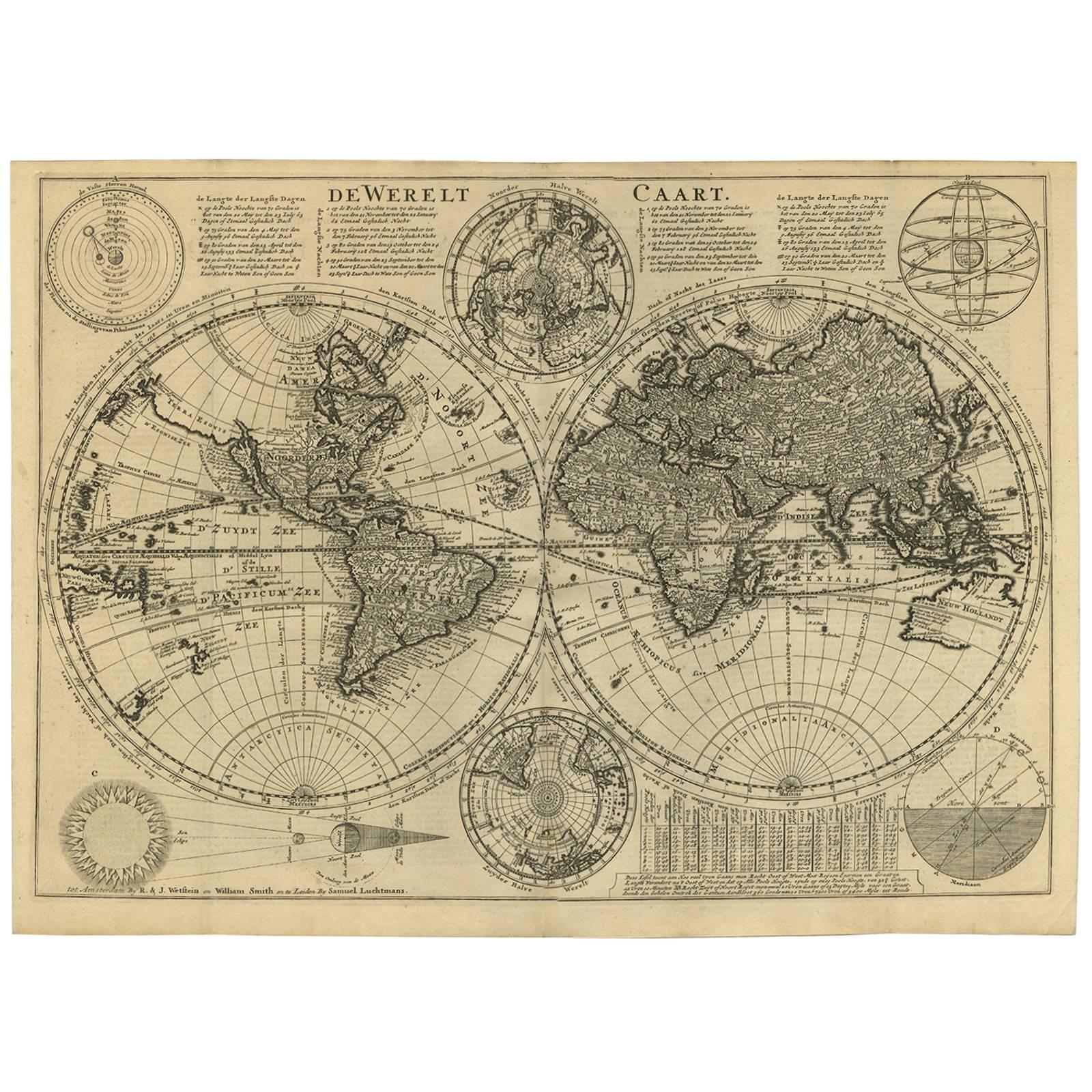
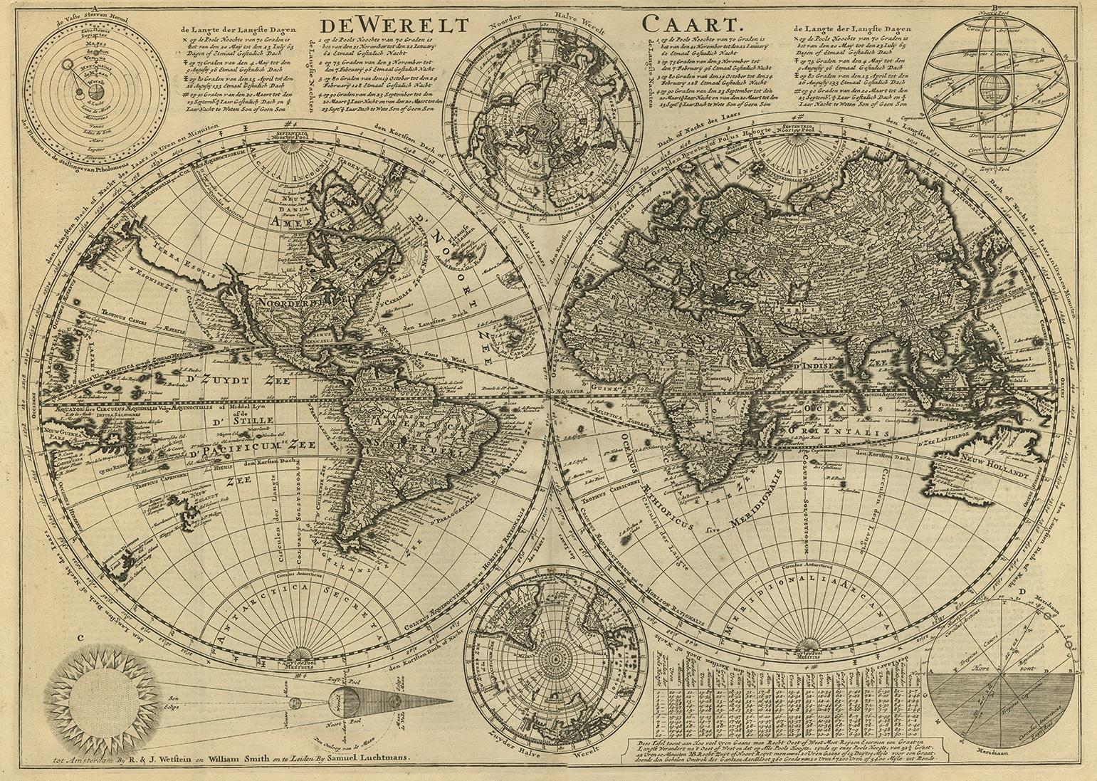
Antique world map titled 'De Werelt Caart'.
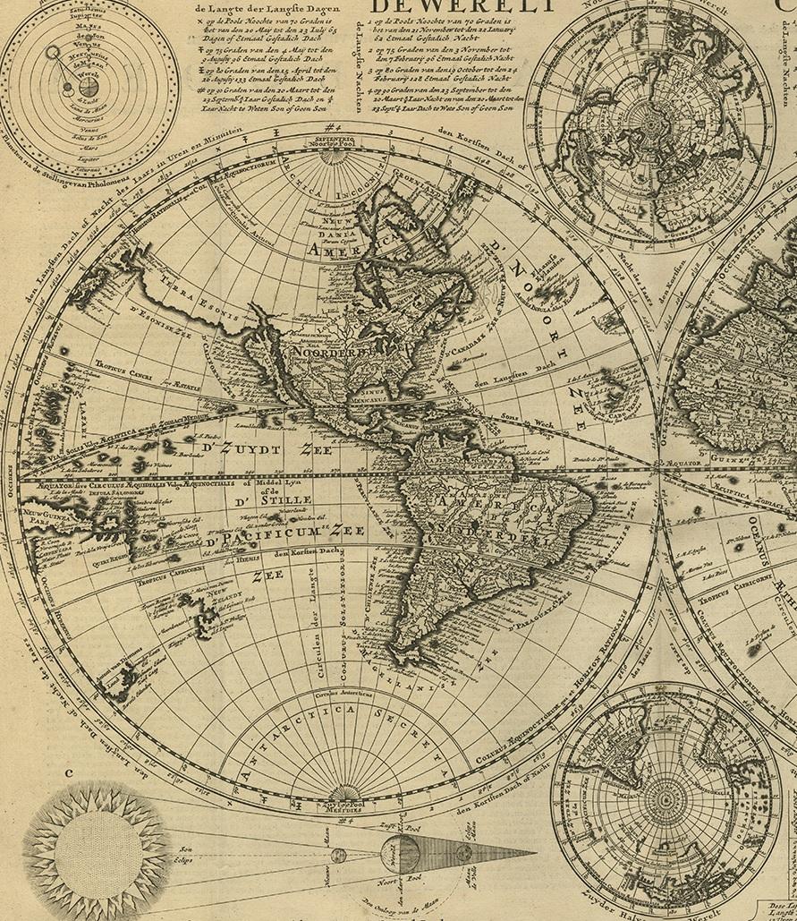
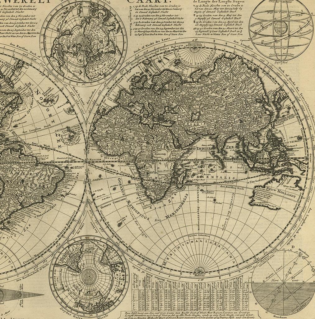
A scarce and richly detailed double hemisphere world map that was probably based on an earlier work by Cornelis Dankerts. This map has two small inset polar hemisphere maps and astronomical diagrams. The information about Australia, Tasmania and New Zealand is based on Tasman's discoveries in 1642-1644 with the unexplored coastal areas left blank. California is depicted as an island. A common theory at the time was the land mass 'Terre Esonis' that stretched between eastern Asia and North America.
Information is presented on the orbit of planets according to the Ptolemaic theory that the earth was at the center of the solar system. There is a Ptolemaic armillary sphere Based Upon this same concept, a Ptolemaic diagram of the Sun's position in the sky at varying degrees of latitude, and a diagram showing the relationship between the Sun, Moon, and Earth in a solar and lunar eclipse. Keys are provided that present information as to the lines of latitude and longitude of the maps.
This map originates from ‘Biblia Sacra, dat is, de H. Schriftuer van het Oude, en het Nieuwe Testament, naer de laetste Roomsche keure der gemeine Latijnsche overzettinge, in nederduitsch vertaeld (...)’ Utrecht, Hermanus Besseling, 1743.