Maps & PrintsBartele Gallery · Langweer
Home / Antique Maps / Europe / South-East Europe

South-East Europe · 17th century

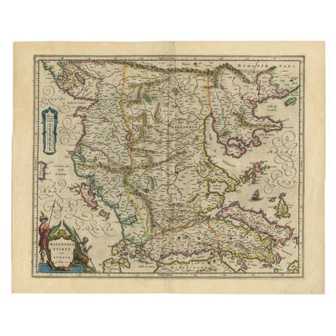
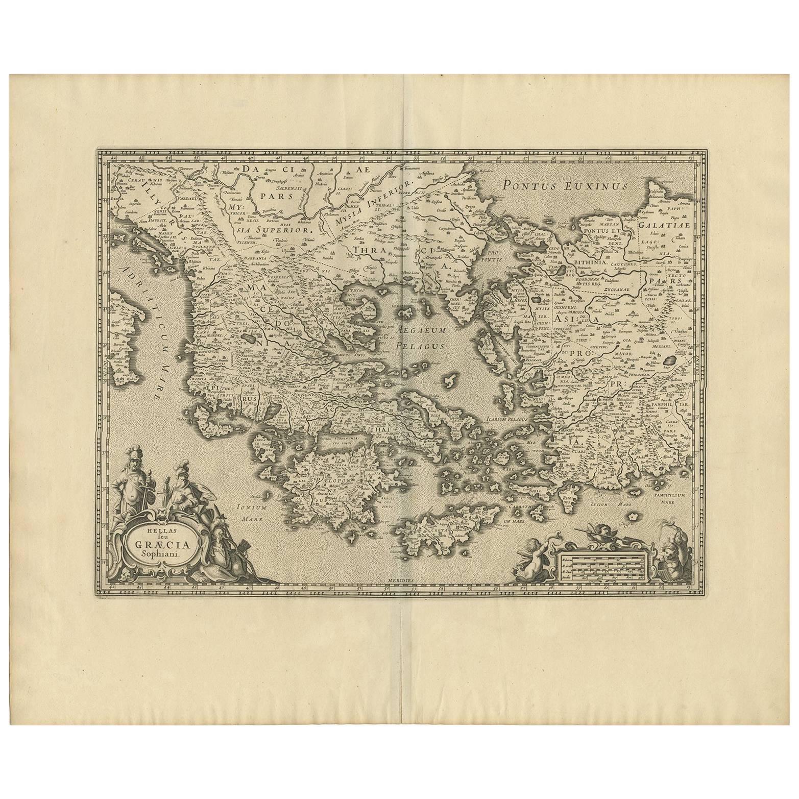
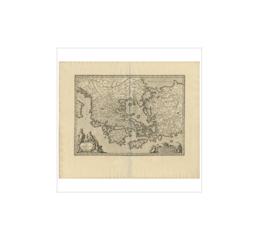
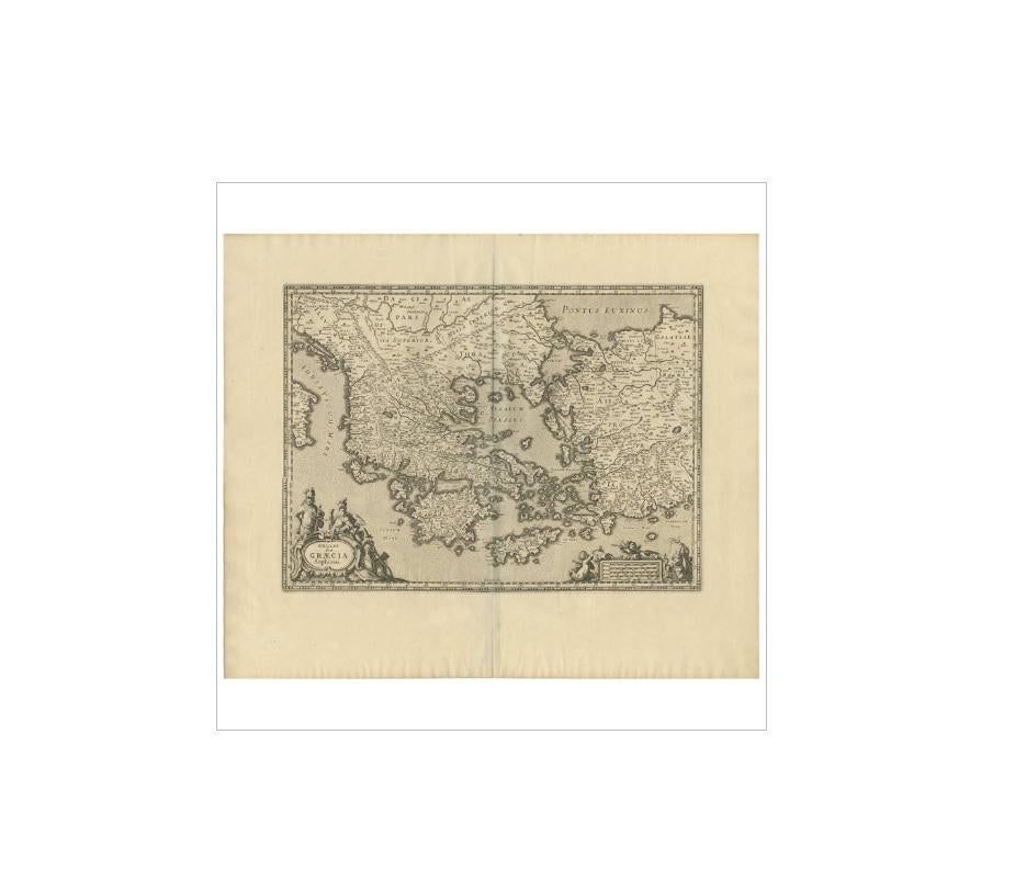
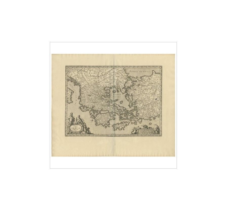
Antique Map of Greece by J. Jansson, circa 1653

€ 880

One of a kind: this is the sheet in the photographs. Ships from Langweer, the Netherlands.

Date
1653
Sheet size
52.5 × 63 cm (20.7 × 24.8 in)
Condition
Good
Reference
BG-09204

Condition

Minor structural damages. Minor fading. Small piece of paper missing. Tear along folding line. Please study image carefully.
About this sheet

This is an authentic antique map of the Greece by Jan Jansson. The map was published in Amsterdam, circa 1653. This striking 17th century map of Greece was based on “Totius Graeciae Descriptio,” a large 8 sheet work by Nikolaos Sophianos, published in 1540. The map presents a fine distinction of the Greek territories form mythical times to the founding of the Roman Empire and establishment of Christianity. The map is embellished with a decorative distance scale and title cartouche featuring two armored soldiers.

More from South-East Europe

Ask about this sheet

Antique Map of Greece by J. Jansson, circa 1653
1653 · Ref. BG-09204 · € 880
We reply by email, usually within one working day.