About this sheet
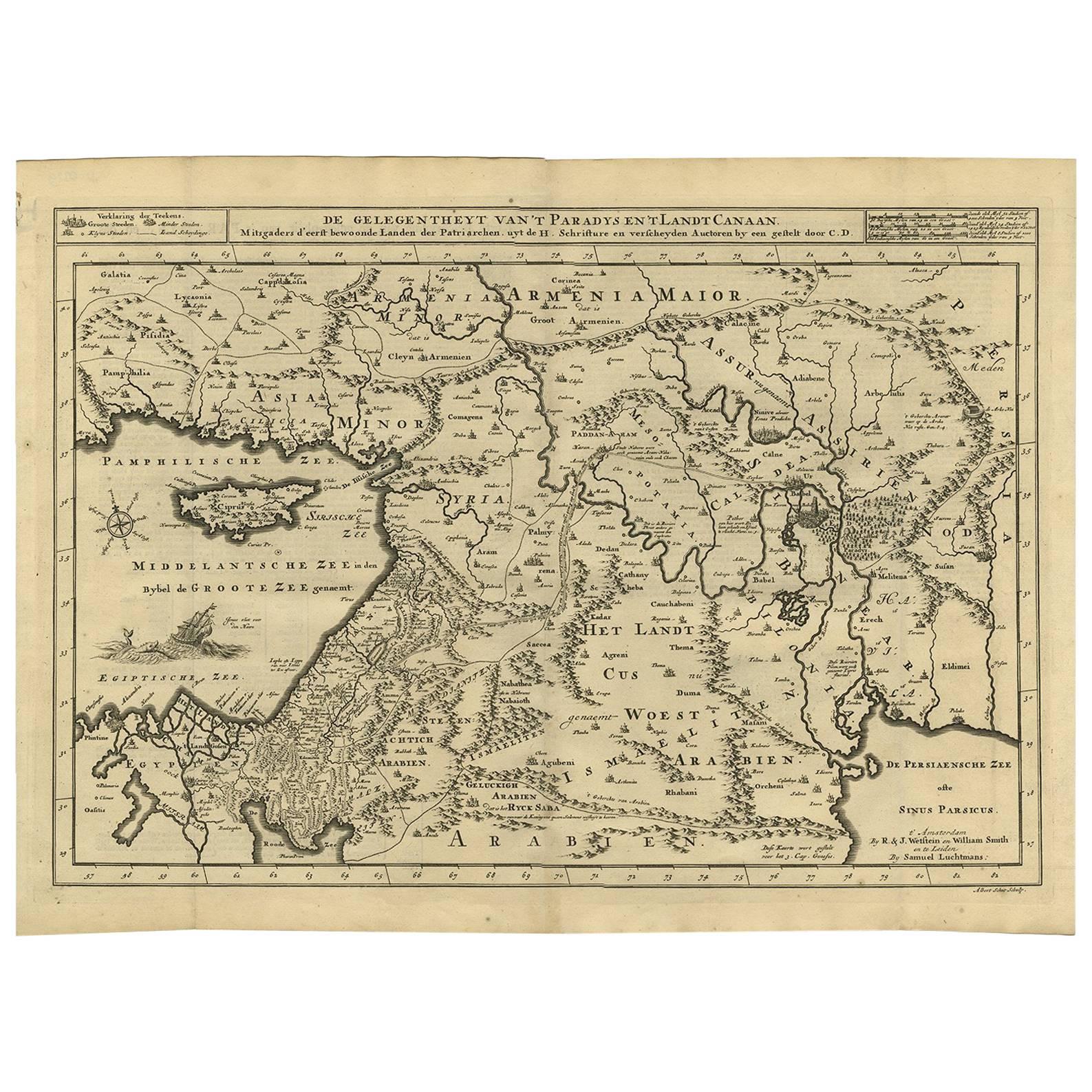
Antique map titled 'De Gelegentheyt van 't Paradys en 't Landt Canaan'. Dutch Bible map covering the region between the Mediterranean and the Persian Gulf, featuring the Garden of Eden, which is located near "Babel". The map includes tiny engravings of Eve offering Adam the apple and the expulsion from the garden. Abraham's journey from Ur is noted, as are the wanderings of the Children of Isreal, and a vignette of Jonas and the whale.
This map originates from ‘Biblia Sacra, dat is, de H. Schriftuer van het Oude, en het Nieuwe Testament, naer de laetste Roomsche keure der gemeine Latijnsche overzettinge, in nederduitsch vertaeld (...)’ Utrecht, Hermanus Besseling, 1743.