Maps & PrintsBartele Gallery · Langweer
Home / Antique Maps / Sea Charts

Sea Charts · 18th century

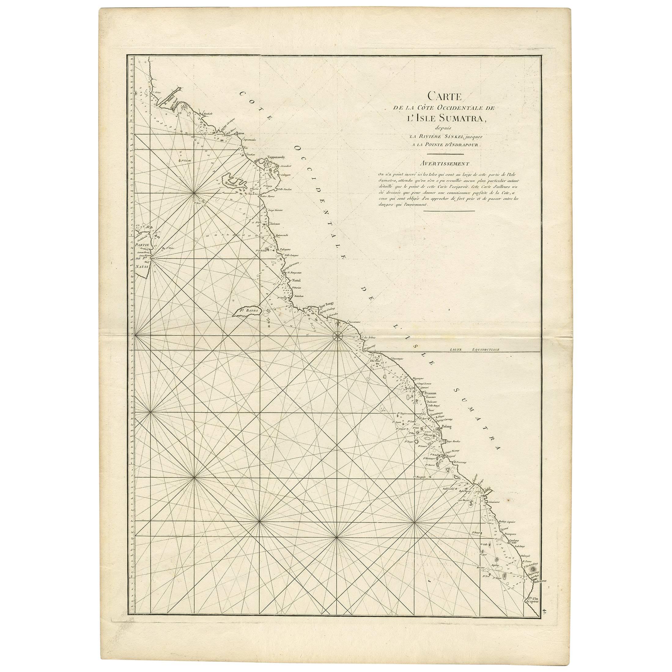
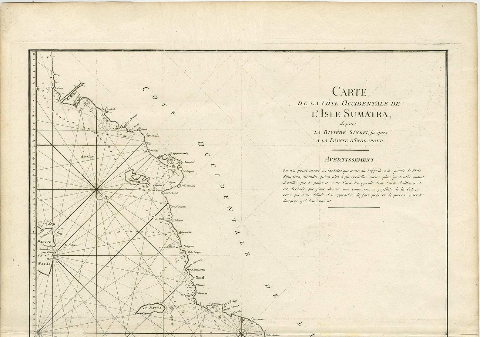
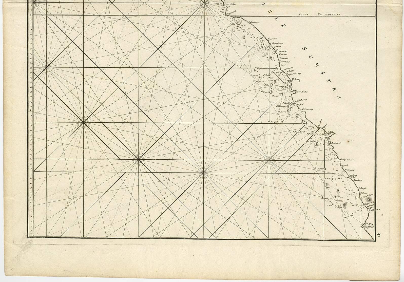
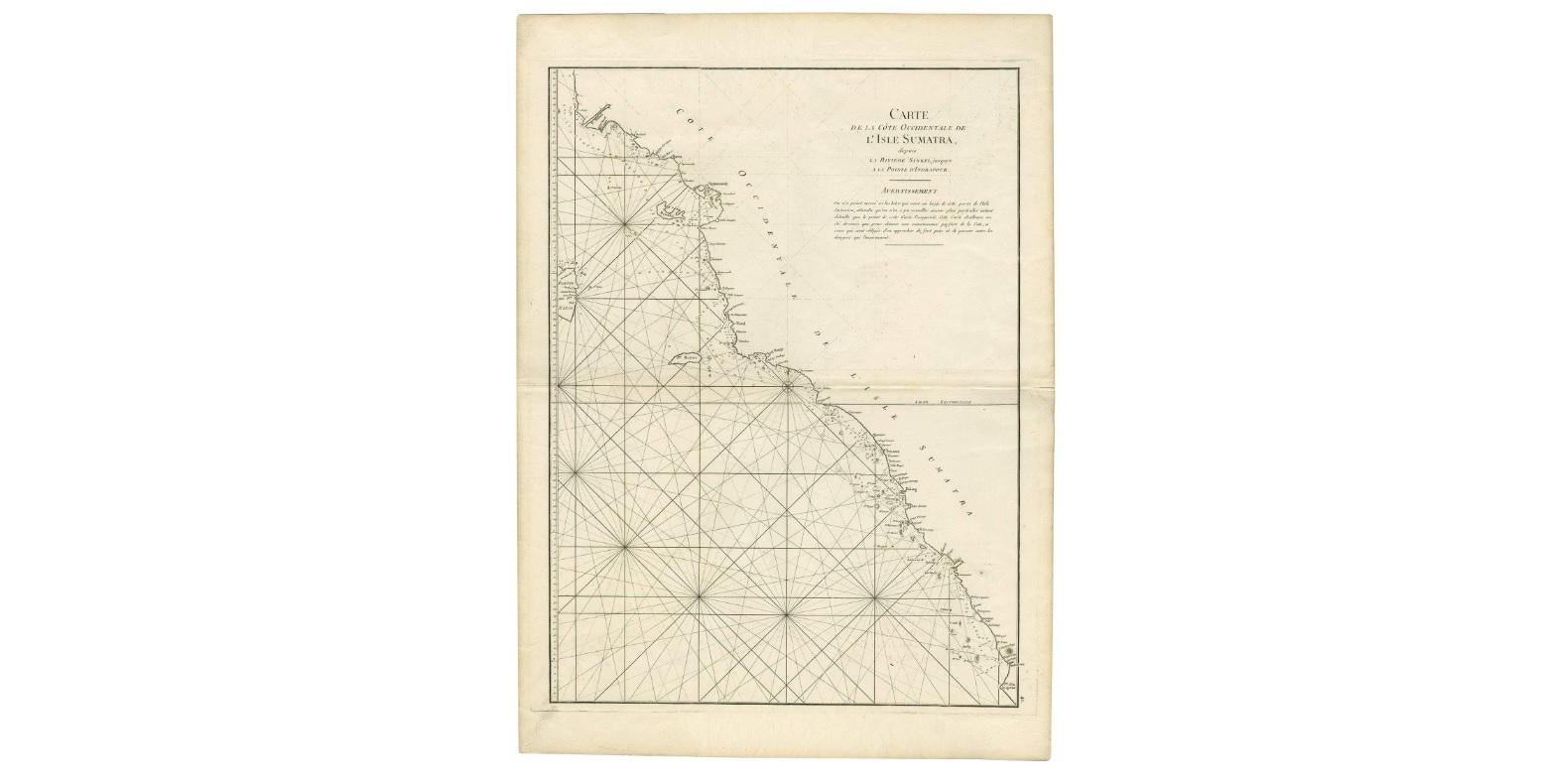
1745 Antique Coastal Map of West Sumatra by J. Mannevillette

€ 332

One of a kind: this is the sheet in the photographs. Ships from Langweer, the Netherlands.

Date
1745
Sheet size
77 × 55.5 cm (30.3 × 21.9 in)
Condition
Good
Reference
BG-00763

Condition

Please study images carefully.
About this sheet

Antique map titled 'Carte de la côte occidentale de l'isle Sumatra depuis la ligne équinoctiale jusqu'au détroit de la Sonde'. Beautiful coastal map of West Sumatra, an island in Western Indonesia. This map originates from 'Le Neptune Oriental'.

More from Sea Charts

Ask about this sheet

1745 Antique Coastal Map of West Sumatra by J. Mannevillette
1745 · Ref. BG-00763 · € 332
We reply by email, usually within one working day.