Antique Maps of Western Europe
478 original sheets
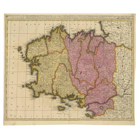
Map of Brittany and Western France by Gerard Valk, circa 1690
1690 · € 770
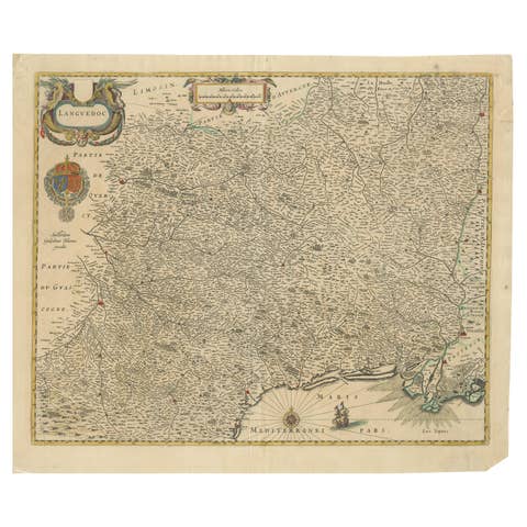
Map of Languedoc by Willem Blaeu, Antique French Copper Engraving 1635
1635 · € 950
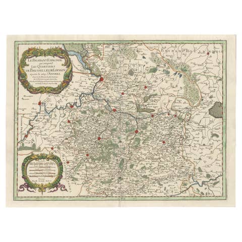
Original Spanish Brabant map with Brussels, Louvain and Antwerp quarters, c.1684
1684 · € 1 400
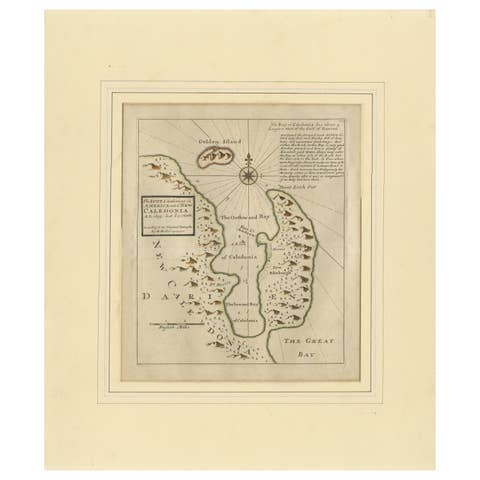
Rare 1699 Map of the Failed Scottish Colony of Caledonia in Panama
1699 · € 580
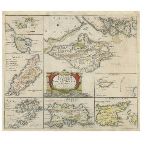
British Island Group Map 1695 – Morden’s Smaller Islands of the British Ocean
1695 · € 340
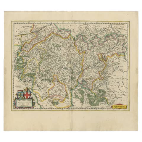
Original Antique Map of Trier and Luxembourg by Joan Blaeu, Amsterdam circa 1640
1640 · € 1 200
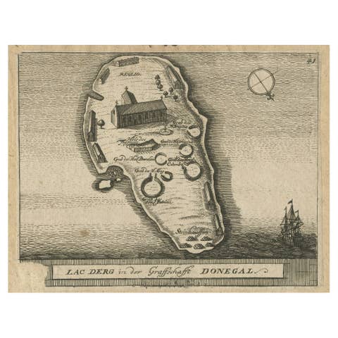
Lough Derg, Donegal – Antique Irish Pilgrimage Map Engraving c.1700
1700 · € 120

Antique Map Scandinavia, Ancient Germania, Mallet Description de l’Univers, 1683
1683 · € 239
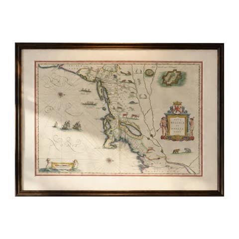
Antique New England Map Blaeu c.1642 – Nova Belgica & Anglia, Ships
1642 · € 7 850
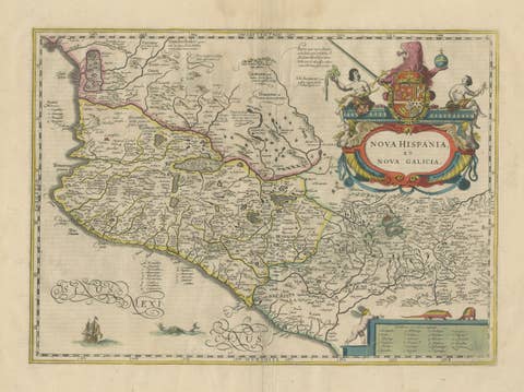
Antique Map of Southern Mexico & New Galicia, Janssonius, Amsterdam c.1650
1650 · € 1 845
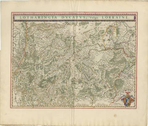
Lorraine Map – Blaeu Hand-Colored Dutch Golden Age Map of Lorraine c. 1642
1642 · € 1 950
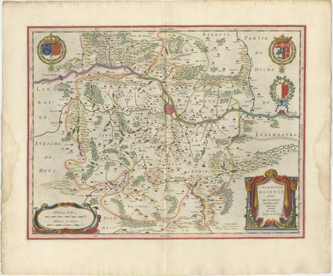
Metz, Lorraine & Verdun Antique Blaeu Atlas Map, France, 1642
1642 · € 1 950
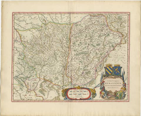
Burgundy Antique Blaeu Atlas Map of Burgundy and Franche-Comté, 1642
1642 · € 2 450
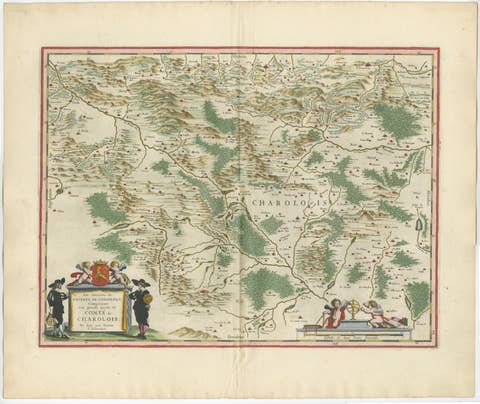
Charolais, Burgundy Antique Blaeu Atlas Map of France, 1642
1642 · € 2 450
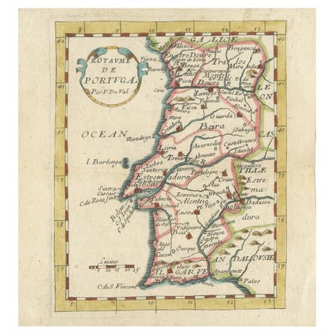
Antique Miniature Map of Portugal by Pierre Du Val, Paris - Hand-Colored ca.1680
1680 · € 470

Roman Fort of Brittenburg at Katwijk – Dutch Antique Miniature Map, c.1606
1606 · € 261

Holsatia Ducatus Antique Map of Holstein and Hamburg Region, Petrus Kaerius 1650
1650 · € 320
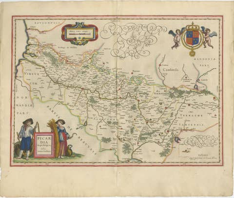
Decorative Blaeu Map of Picardy with Costume Figures, France 1642
1642 · € 3 450

Antique Blaeu Map Vermandois & La Capelle France, Dual Sheet - 1642
1642 · € 4 250
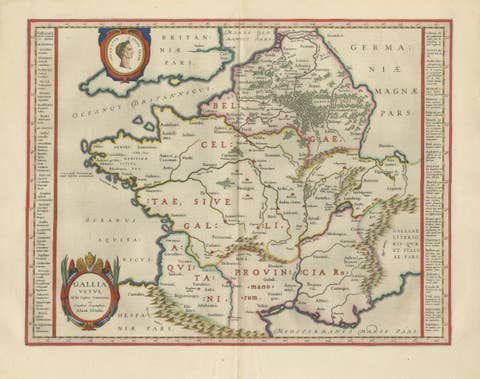
Caesar’s Gallia Antiqua – Blaeu Map of Ancient France, c.1642
1642 · € 5 950
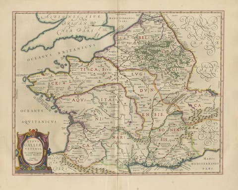
Caesar’s Gallia Veteris – Blaeu Map of Ancient Gaul, France c.1642
1642 · € 5 500
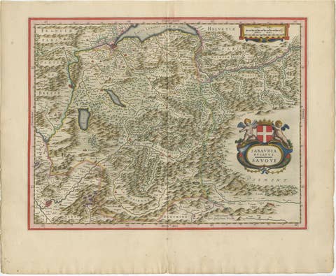
Blaeu Map of Savoy & Alps, Geneva Piedmont France Italy, c.1642
1642 · € 4 750
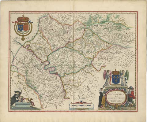
Blaeu Map of Île-de-France – Paris Region with Royal Arms, c.1642
1642 · € 3 450
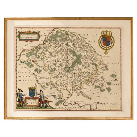
Antique Map of Valois, Picardy France – Blaeu Hand Colored c.1642
1642 · € 3 950
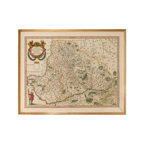
Antique Map Beauvais, Picardy France – Blaeu Hand Colored c.1642
1642 · € 3 450
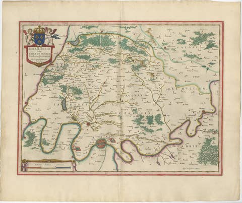
Antique Map Paris & Île-de-France – Blaeu Hand Colored c.1642
1642 · € 4 450
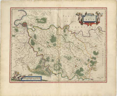
Antique Map Brie & Champagne France, Blaeu c.1642 – Paris Region
1642 · € 4 500
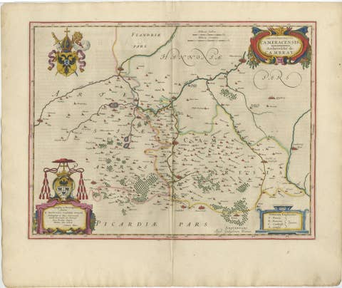
Blaeu Map of Cambrai, Artois & Hainaut – Heraldic France c.1642
1642 · € 4 250
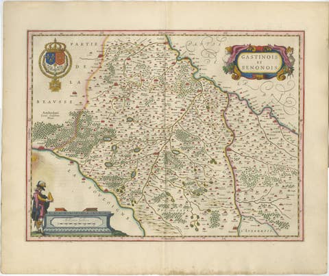
Antique Blaeu Map of Gâtinais & Sénonais France, c. 1642 Hand Color
1642 · € 1 950

Antique Blaeu Map of Champagne France, Campania Comitatus, c. 1642
1642 · € 3 450
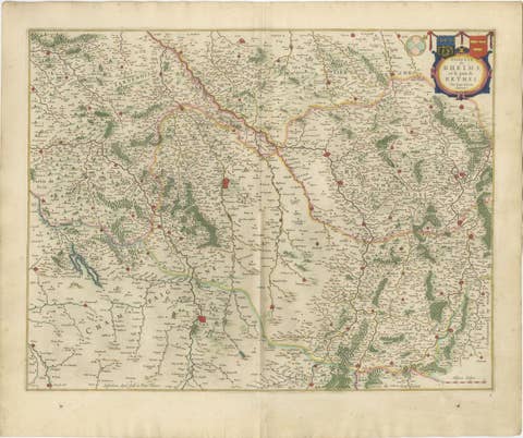
Antique Blaeu Map of Reims & Rethel Champagne France, c. 1642
1642 · € 2 950
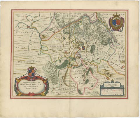
Antique Blaeu Map of Sedan & Donchery France, c. 1642 Hand Color
1642 · € 2 150
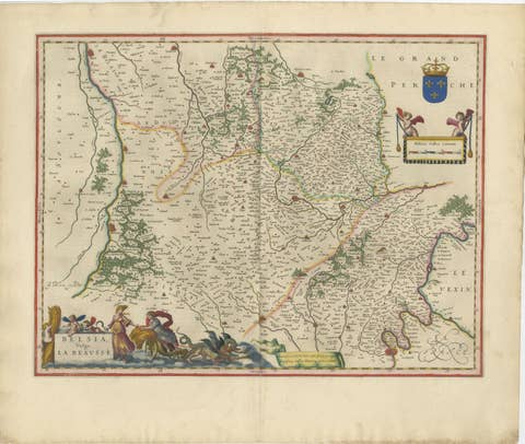
Antique Blaeu Map of Beauce & Perche France, c. 1642 Hand Color
1642 · € 3 250
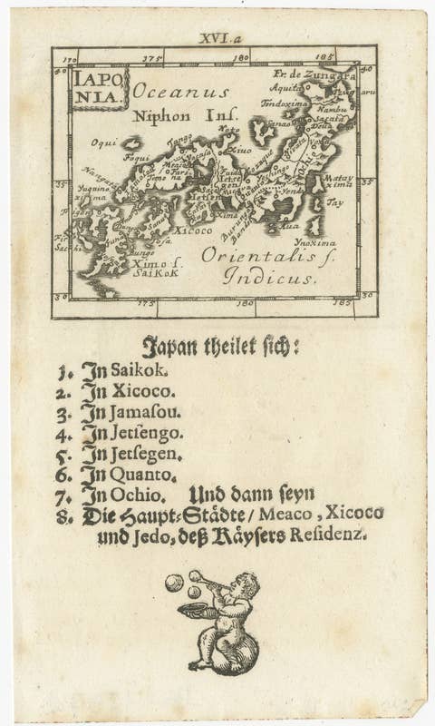
Rare 1683 Mallet Miniature Map of Japan “Iaponia” with German Text
1683 · € 290
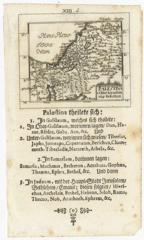
17th Century Holy Land Map “Palestina” with German Biblical Text, c.1650
1650 · € 390
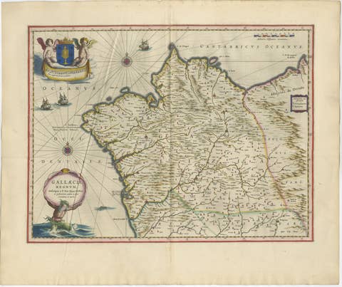
Blaeu Map of Galicia Spain, Decorative Dutch Golden Age Map, 1642
1642 · € 2 850
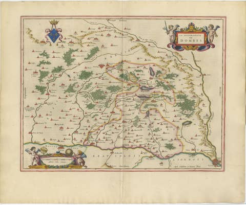
Blaeu's Dombes, Lyonnais and Bresse, France – Original 1642 Map
1642 · € 2 250
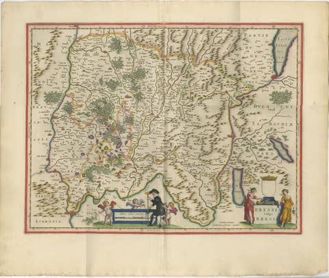
Antique Blaeu Map of Bresse & Dombes, Eastern France – Hand-Colored, c.1642
1642 · € 2 750
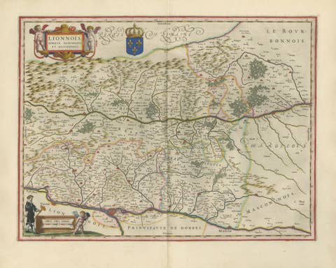
Antique Blaeu Map of Lyonnais, Forez, Beaujolais & Mâconnais, 1642
1642 · € 2 250
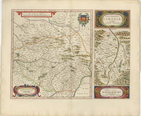
Antique Blaeu Map of Limousin and Limagne, France, circa 1642
1642 · € 2 050
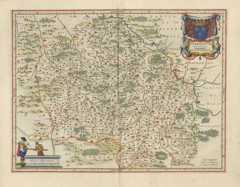
Antique Blaeu Map of Bourbonnais, Moulins and Vichy, France, 1642
1642 · € 2 050

Antique Blaeu Map of Nevers, Nivernais and Morvan, France, 1642
1642 · € 1 950

Antique Blaeu Map of Berry, Bourges and Sancerre, France, 1642
1642 · € 2 050
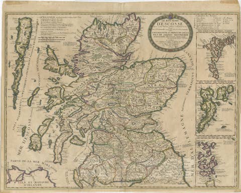
Antique Map of Scotland by Nolin and Coronelli with Island Insets, 1689
1689 · € 795
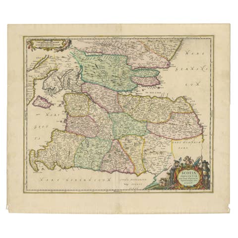
Scotiae Provintiae Inter Taum Fluvium et Septentrionales Oras Angliae, c.1660
1660 · € 795

Antique Map of Languedoc and Southern France by Gerard and Leonard Valck, c.1700
1700 · € 545