About this sheet
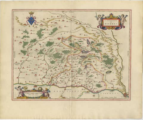
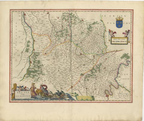
Burgundy Antique Blaeu Atlas Map of Burgundy and Franche-Comté, 1642
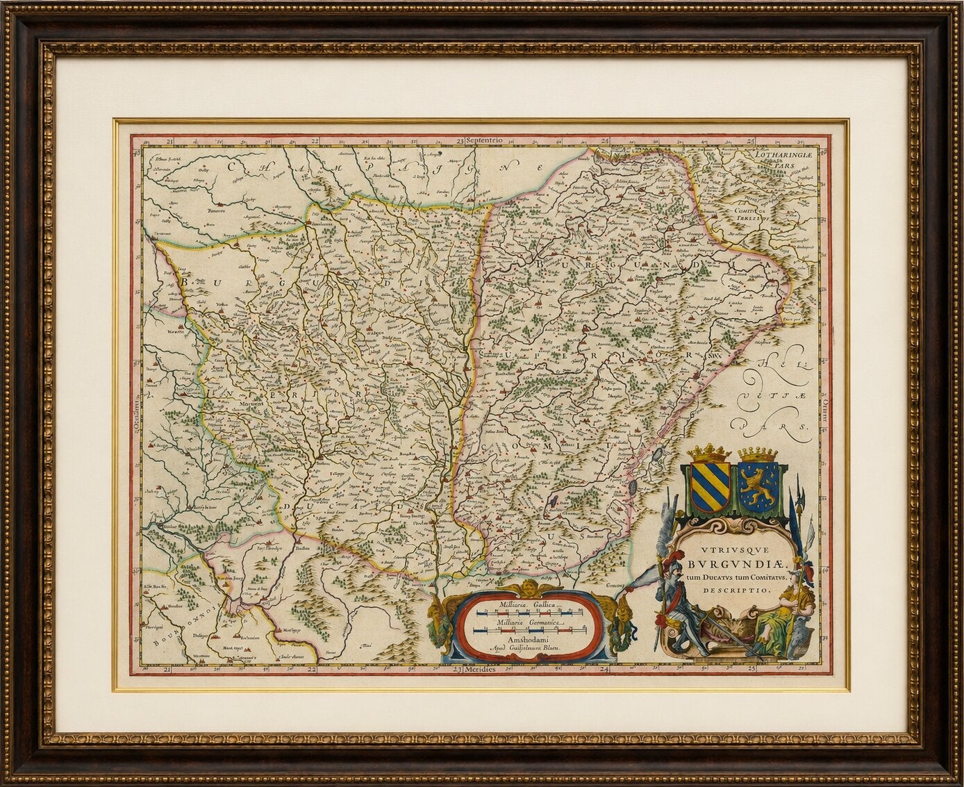
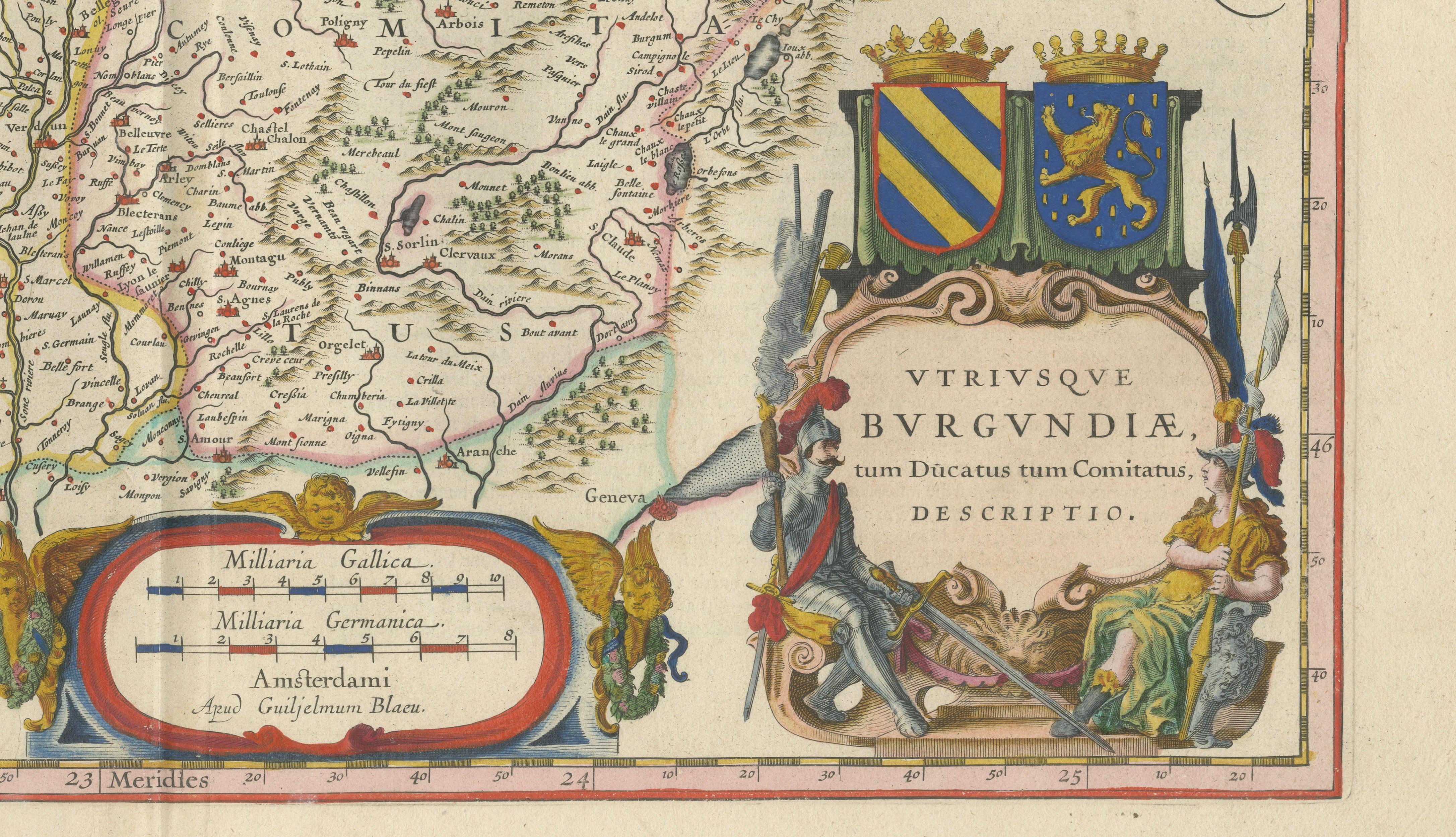
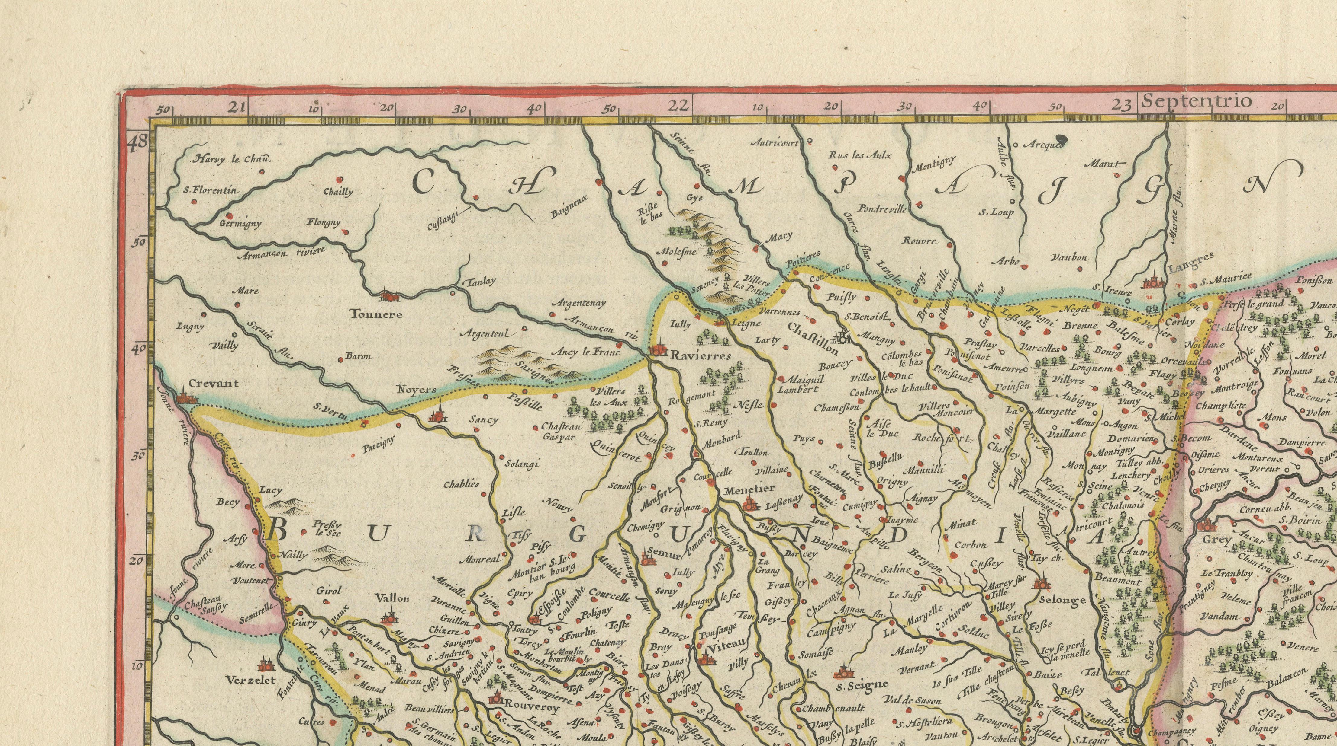
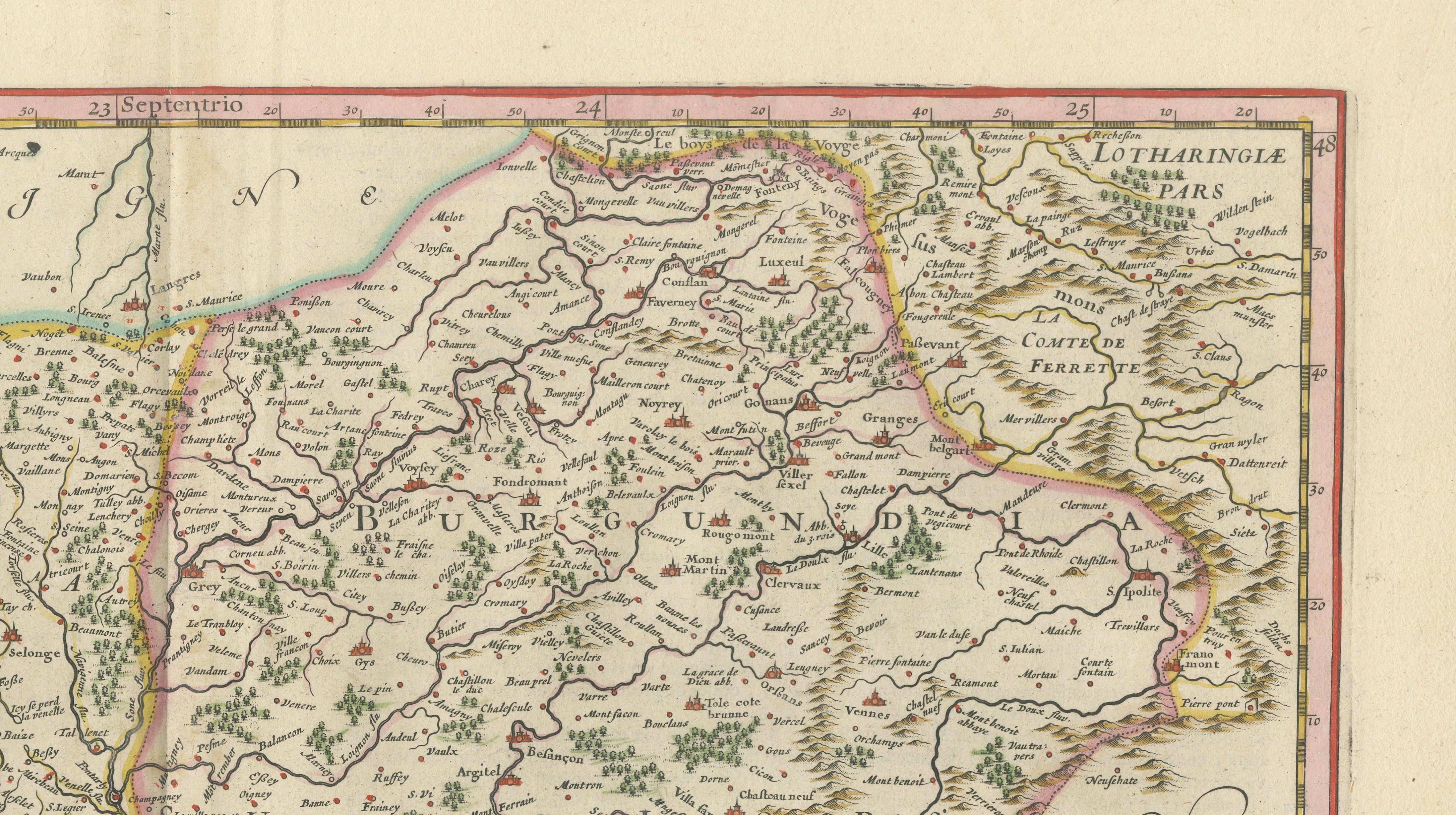
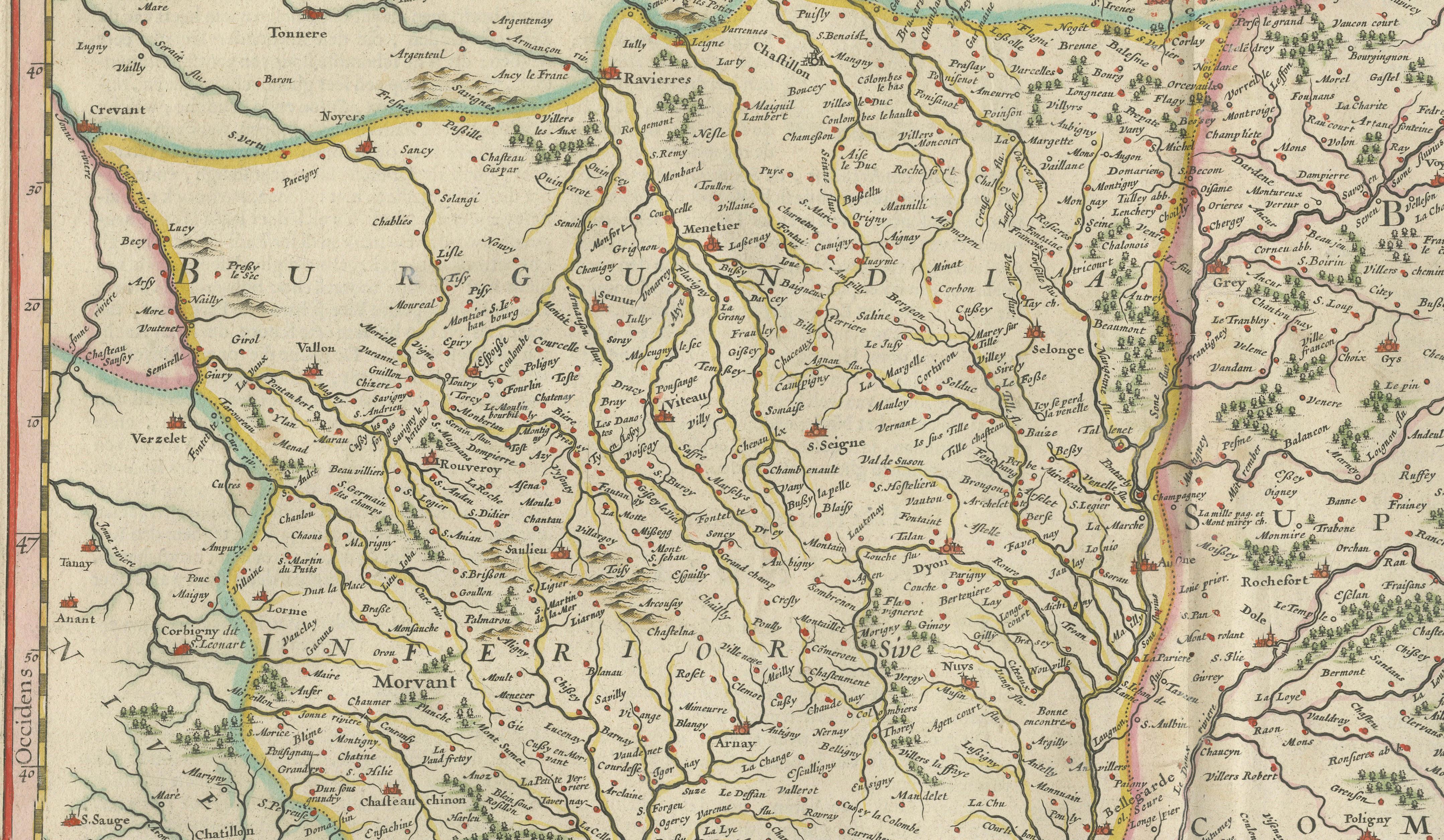
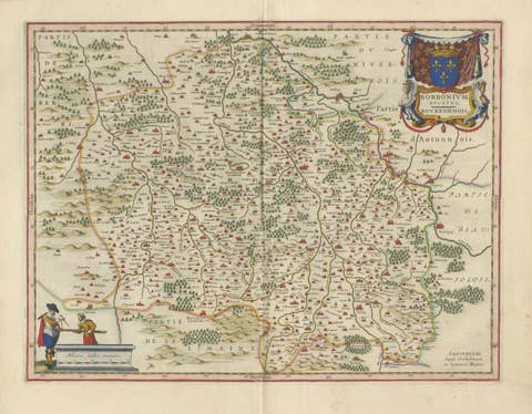
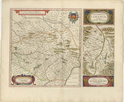
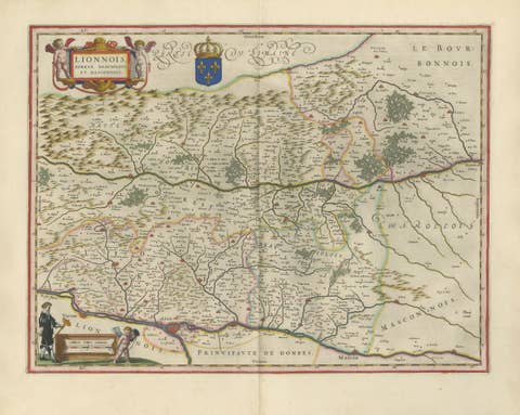
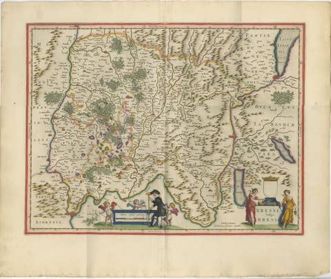
This beautifully engraved and richly hand-colored map depicts the historic region of Burgundy, one of the most important cultural, political, and economic territories of early modern France. Published by Willem Janszoon Blaeu in Amsterdam in the 1642 edition of Toonneel des Aerdrycx, the map presents both the Duchy and County of Burgundy, as reflected in its title, "Vtriusque Burgvndiae, tum Dvcatvs tum Comitatus, Descriptio."
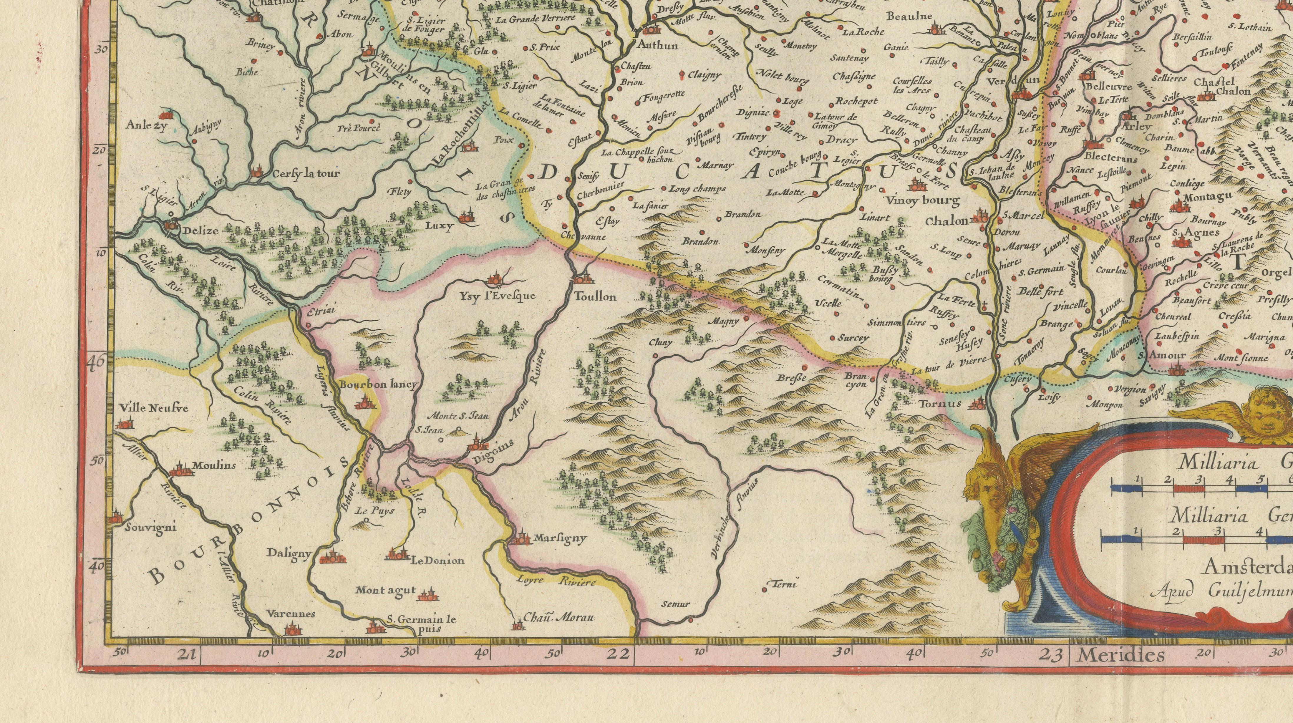
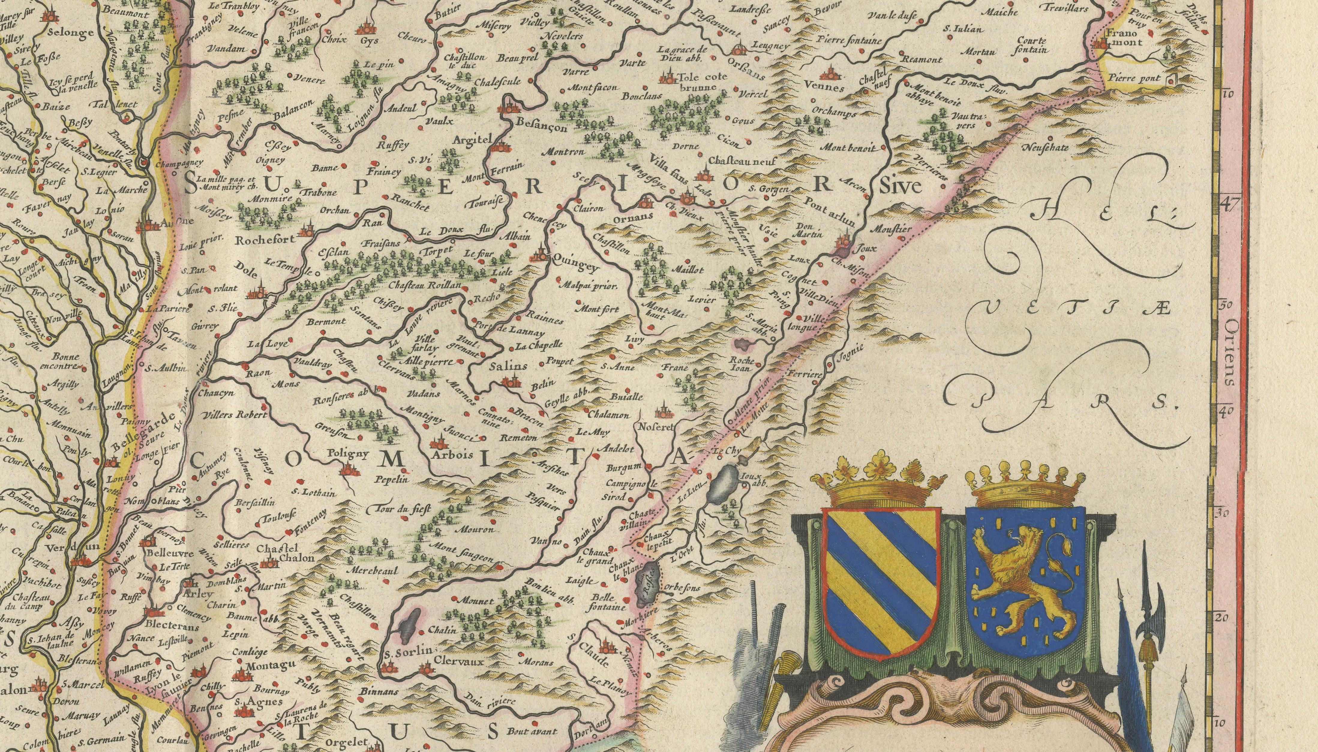
The map covers a vast area extending from the Morvan and Auxerre in the west to Franche-Comté and the Jura Mountains in the east, including numerous towns, rivers, forests, and roads. Major historic centers such as Dijon, Beaune, Chalon-sur-Saône, Autun, Besançon, Dole, and Geneva are prominently shown. The Saône River and its tributaries form important geographic features, illustrating the region's role as a major commercial corridor linking northern Europe with the Mediterranean world.
Burgundy occupied a unique position in European history. During the Middle Ages and Renaissance, the Dukes of Burgundy controlled one of the wealthiest and most influential states in Europe. Even after its incorporation into France, the region retained its distinctive identity, celebrated for its vineyards, monasteries, trade routes, and political significance. Blaeu's map captures this landscape in remarkable detail, combining scientific cartography with the decorative elegance for which Dutch Golden Age atlases are renowned.
The elaborate title cartouche and heraldic arms add visual richness to the composition, while the original hand coloring highlights provincial boundaries and enhances the intricate engraving. As a genuine Blaeu atlas map from one of the most sought-after seventeenth-century atlases, this piece offers both historical importance and exceptional decorative appeal.
Special note: This is an original 17th-century map, not a reproduction. The map is sold unframed; any framed images are shown for presentation and interior inspiration only and may not always be on scale with the original.
Condition Report
Original centerfold as issued. Original hand color. Light age toning throughout. Minor marginal wear and faint scattered spotting consistent with age. Strong impression with wide margins and attractive color.
Framing Tips
This map displays exceptionally well in a dark walnut, ebonized, or lightly gilded frame with an ivory museum mat. The warm colors and heraldic decoration make it particularly suitable for libraries, wine rooms, studies, and traditional European interiors.