About this sheet
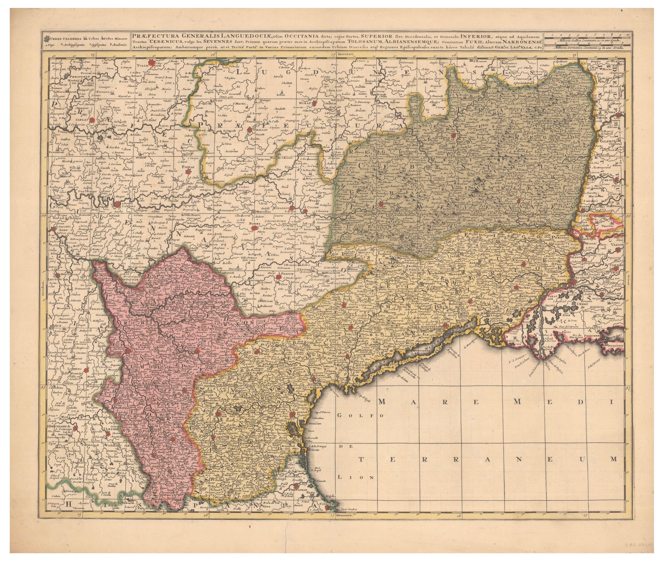
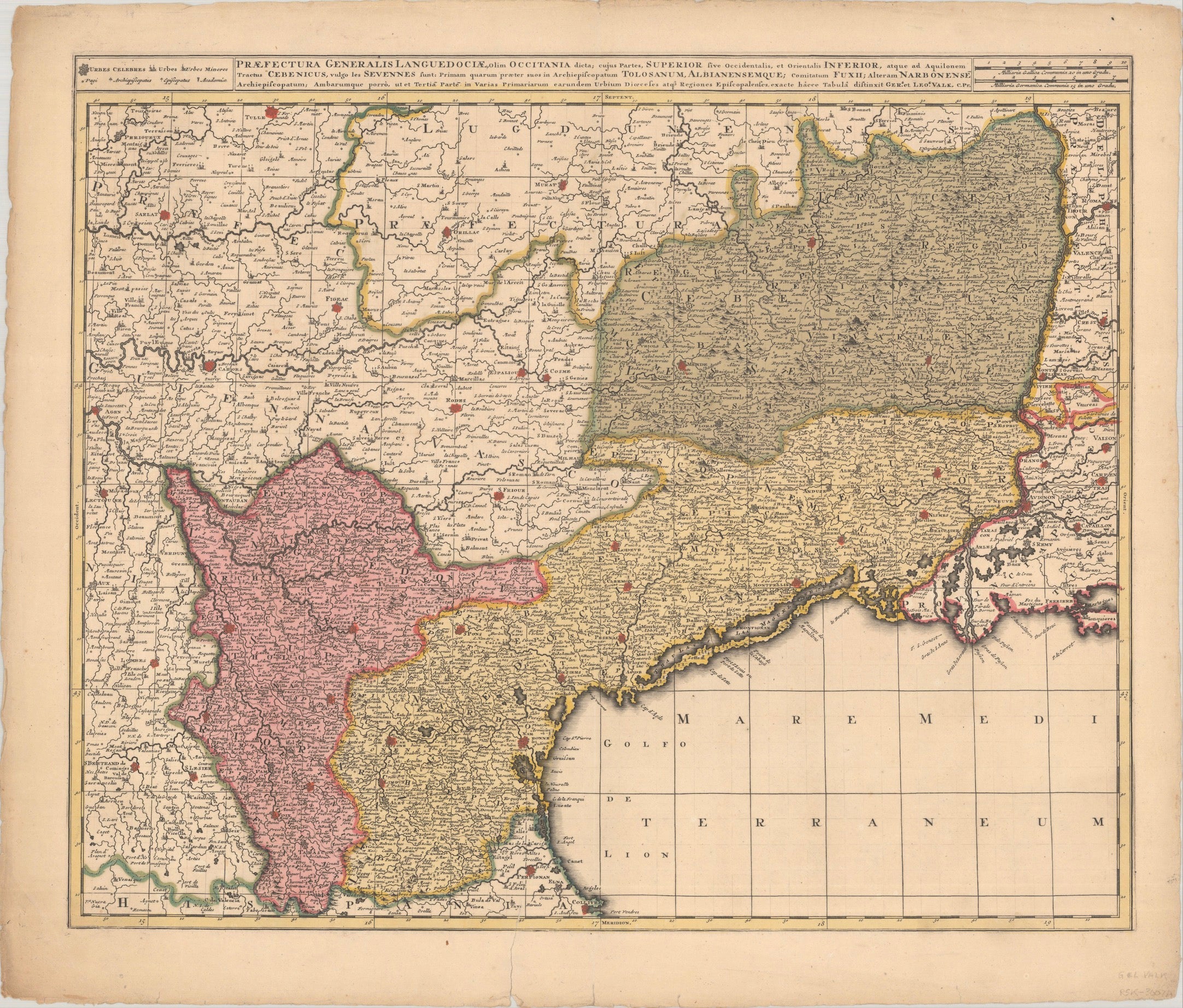
Antique Map of Languedoc and Southern France by Gerard and Leonard Valck, circa 1700
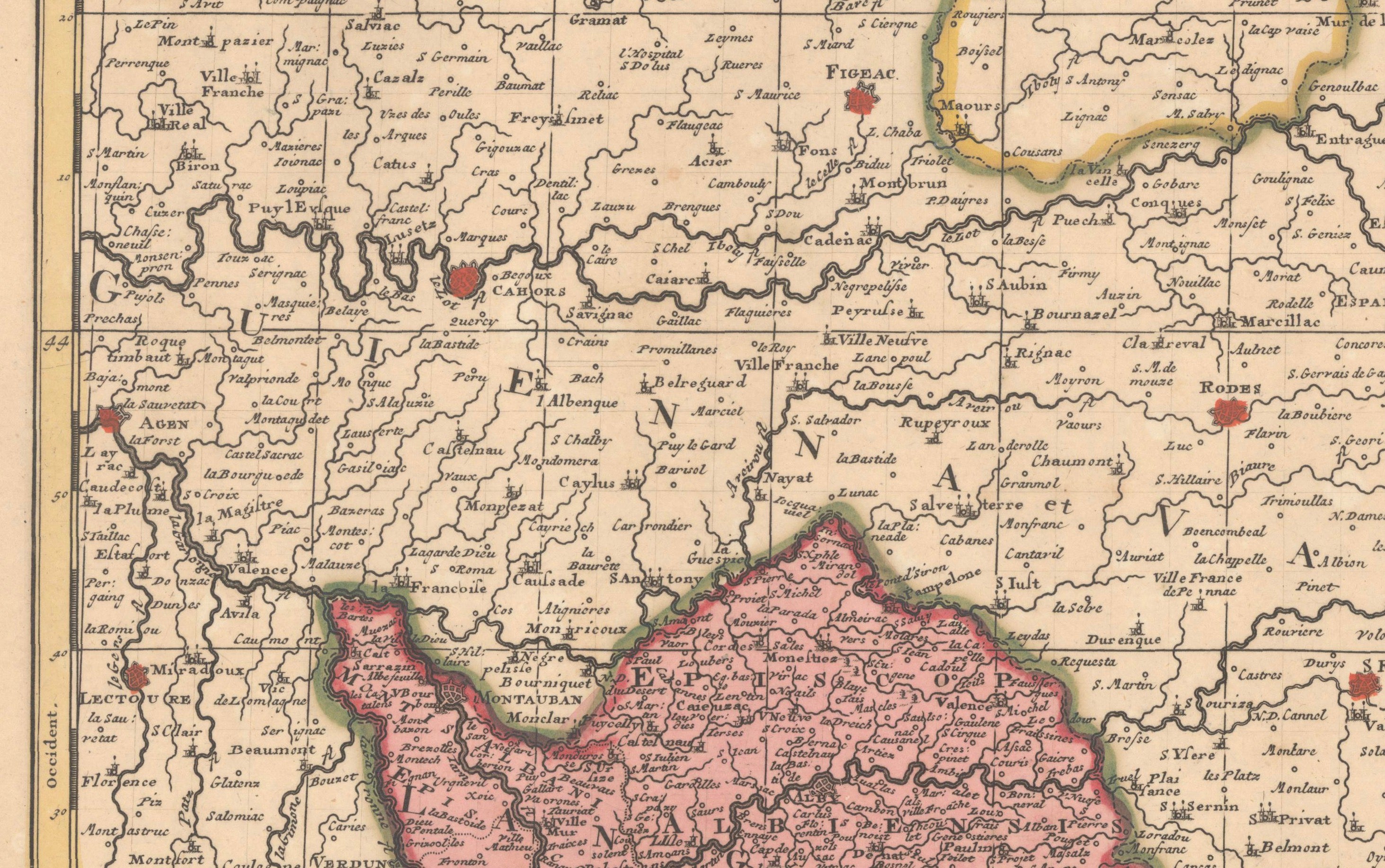
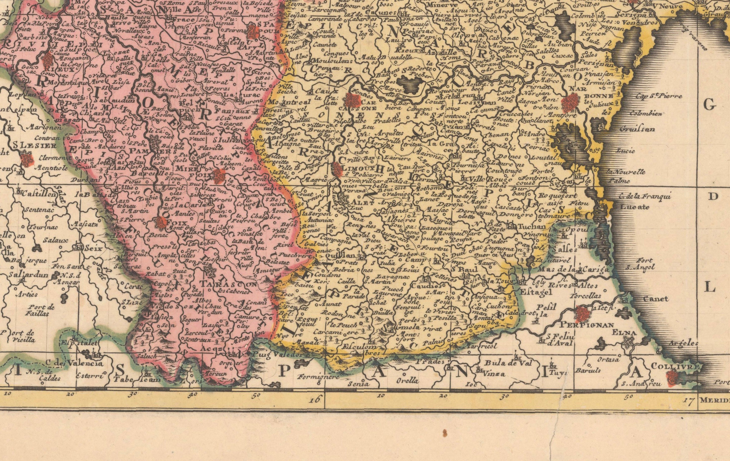
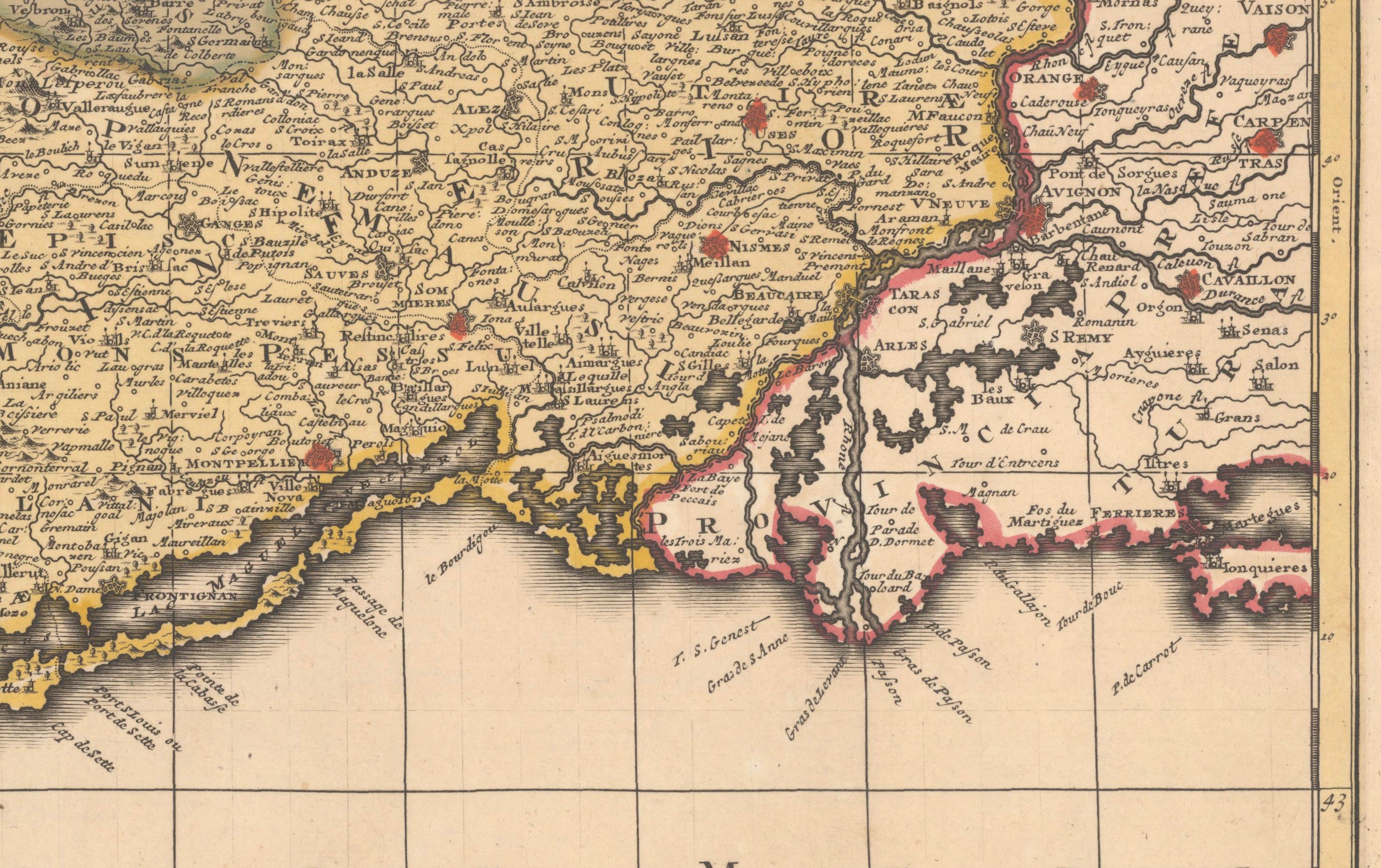
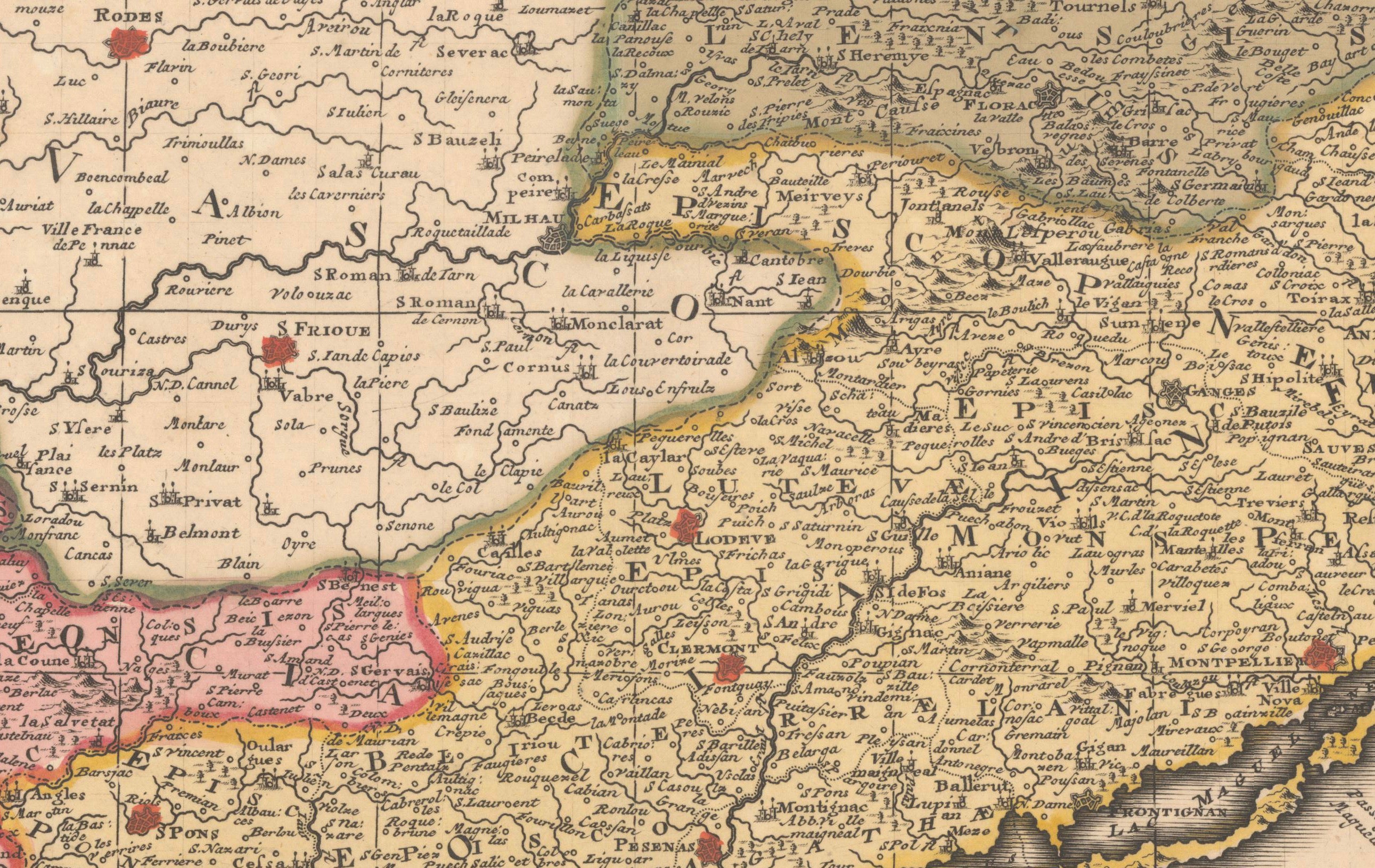
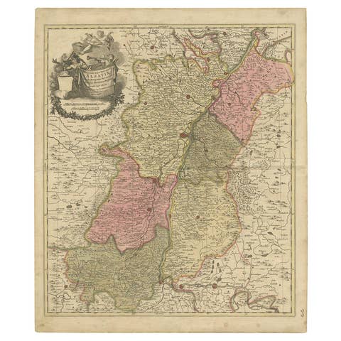
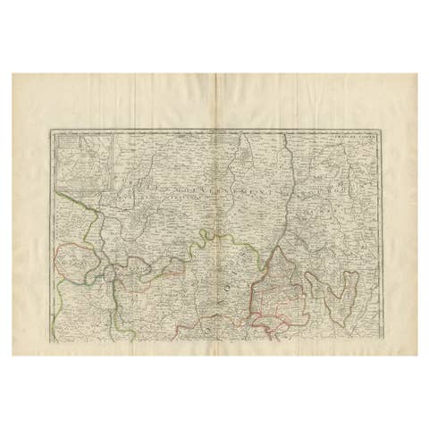
Original antique map of Languedoc and southern France by Gerard and Leonard Valck, published in Amsterdam circa 1700.
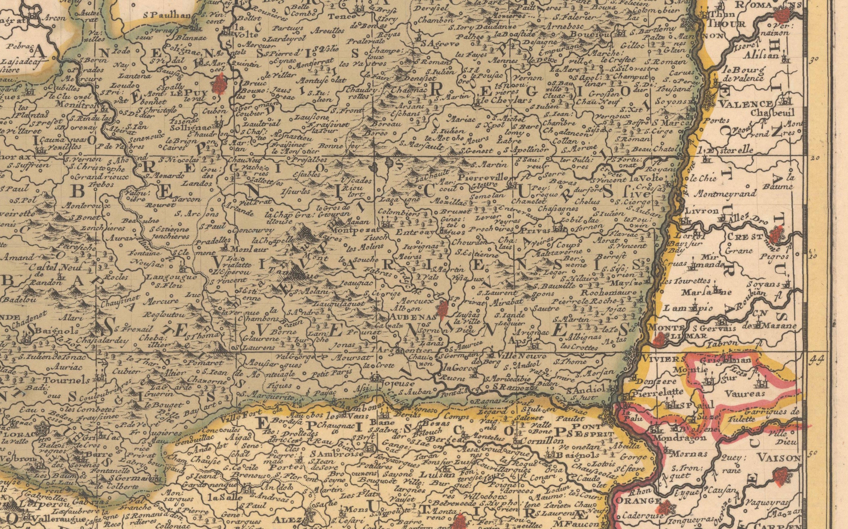
The map depicts the historic region of Languedoc in remarkable detail, extending from the Rhône River in the east to the area around Agen in the west, and from the Cévennes southward to the Mediterranean coast. Numerous towns, villages, rivers, roads, political boundaries, ecclesiastical divisions and other geographical features are carefully identified.
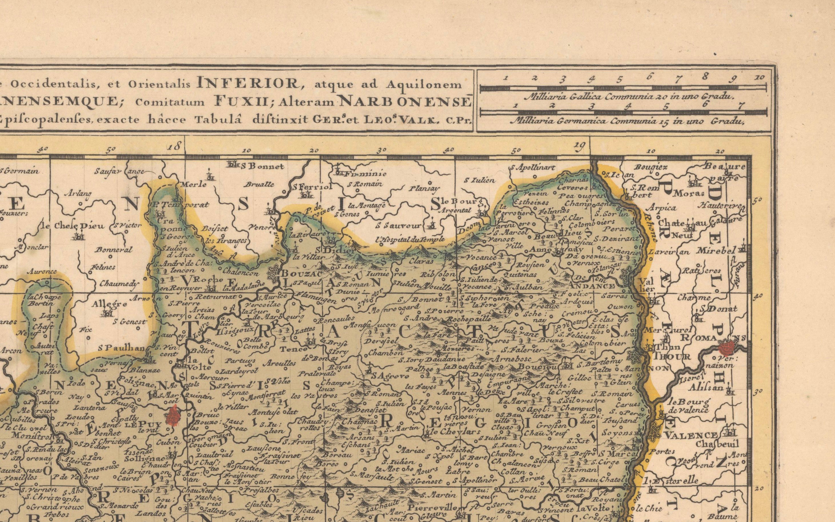
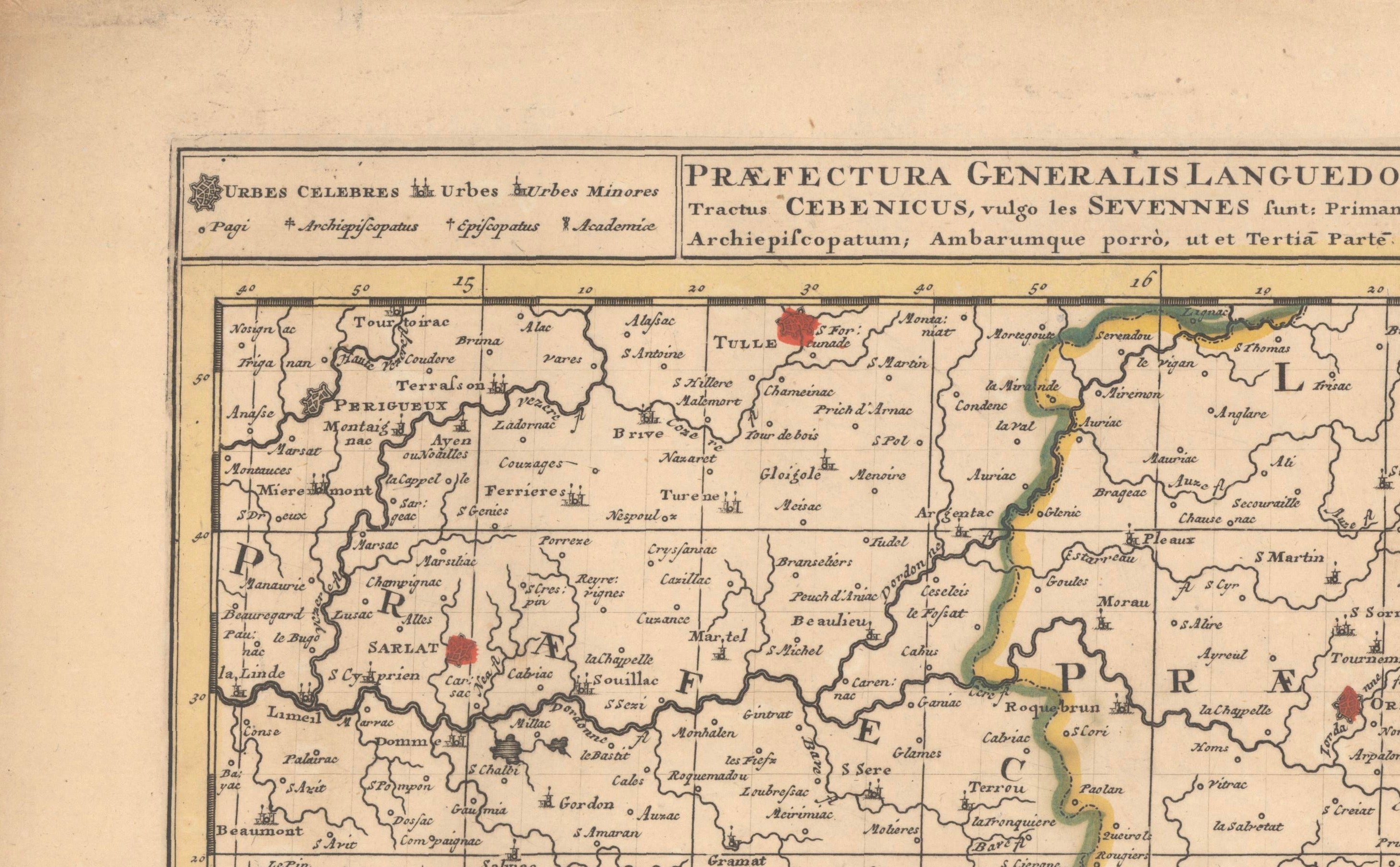
The principal title, in Latin, begins “Praefectura Generalis Languedociae, olim Occitania Dicta...” and refers to the region historically known as Occitania. The map is particularly attractive for its strong engraved detail and its surviving contemporary hand coloring, which clearly defines the major administrative regions.
Gerard Valck and his son Leonard were important Dutch mapmakers and publishers active in Amsterdam during the late 17th and early 18th centuries. Their maps are known for their fine engraving, geographical detail and elegant presentation, and they belong to the great tradition of Dutch Golden Age cartography.
A handsome and decorative map of southern France, particularly appealing to collectors of French regional maps, Occitania, Languedoc and early 18th-century European cartography.
CREATOR
Gerard Valck and Leonard Valck
PUBLISHER
Valck, Amsterdam
DATE
Circa 1700
MEDIUM
Copper engraving with contemporary hand coloring on laid paper.
DIMENSIONS
Approximately 23.3 × 19.3 inches (59.2 × 49 cm).
CONDITION:
Good antique condition. Strong impression with full contemporary hand color. The map has the original centerfold. There is a separation along the centerfold within the image and a short tear entering approximately 1/2 inch into the lower image area; both have been professionally closed and reinforced with archival material on the verso. Some minor age toning and handling wear are present, consistent with a map of this period. Please examine the photographs carefully for condition.
STYLE
Baroque / Dutch Golden Age Cartography
SUBJECT
Languedoc; Occitania; Southern France; Rhône River; Cévennes; Mediterranean coast; French regional cartography.
NOTES
An original antique map, over 300 years old, not a modern reproduction. Sold unframed.