About this sheet
Metz, Lorraine and Verdun Antique Blaeu Atlas Map of France, 1642
Description
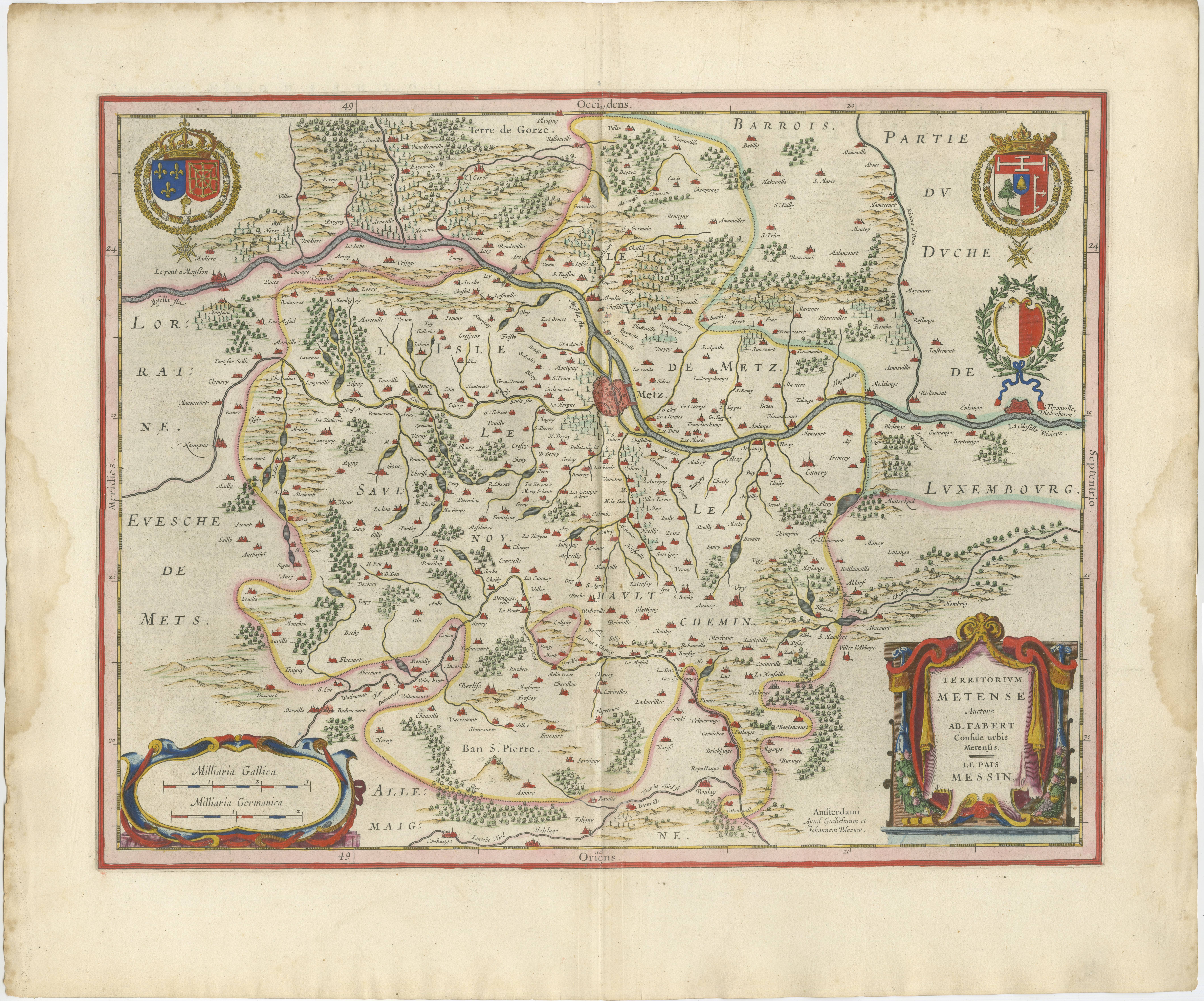
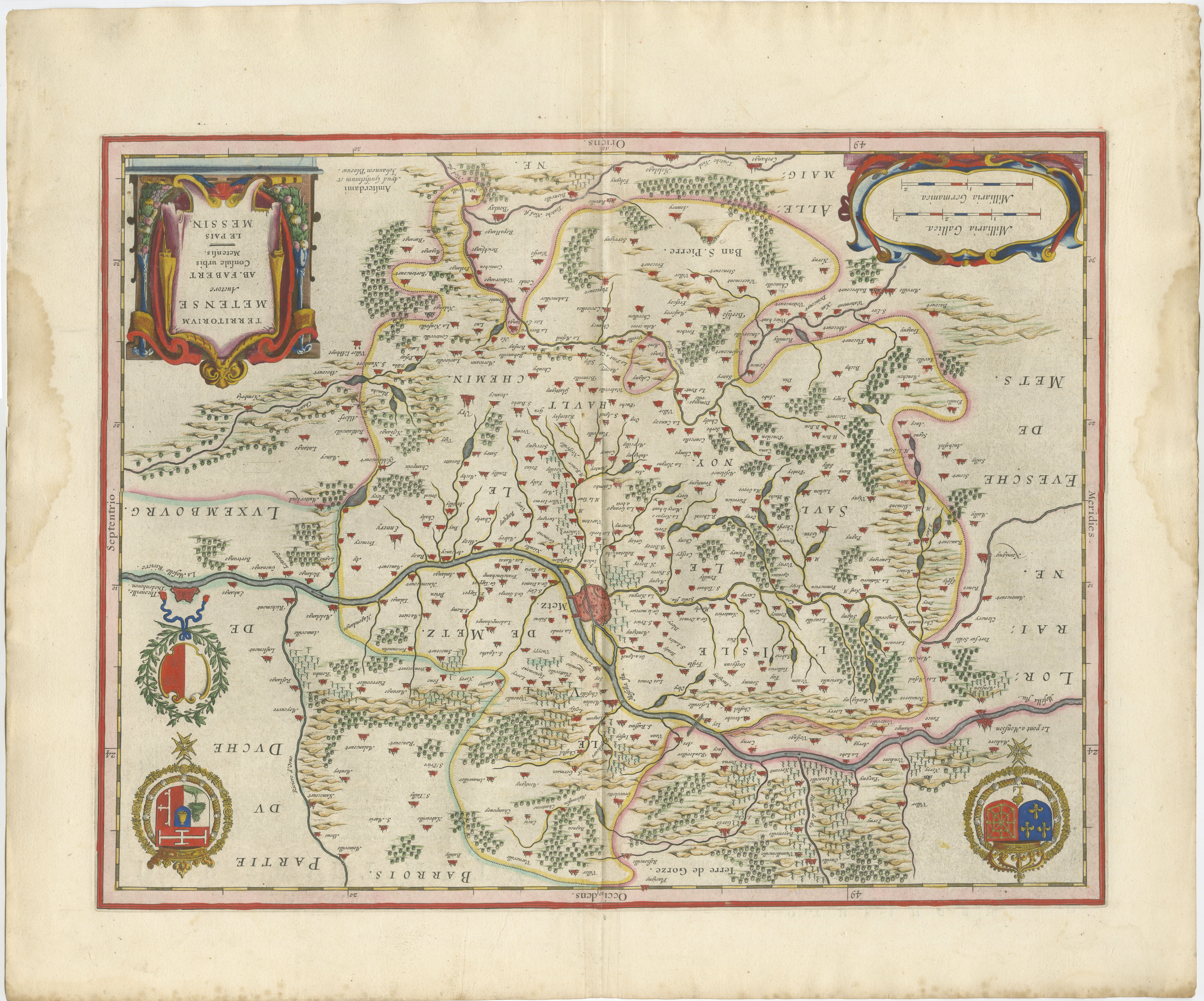
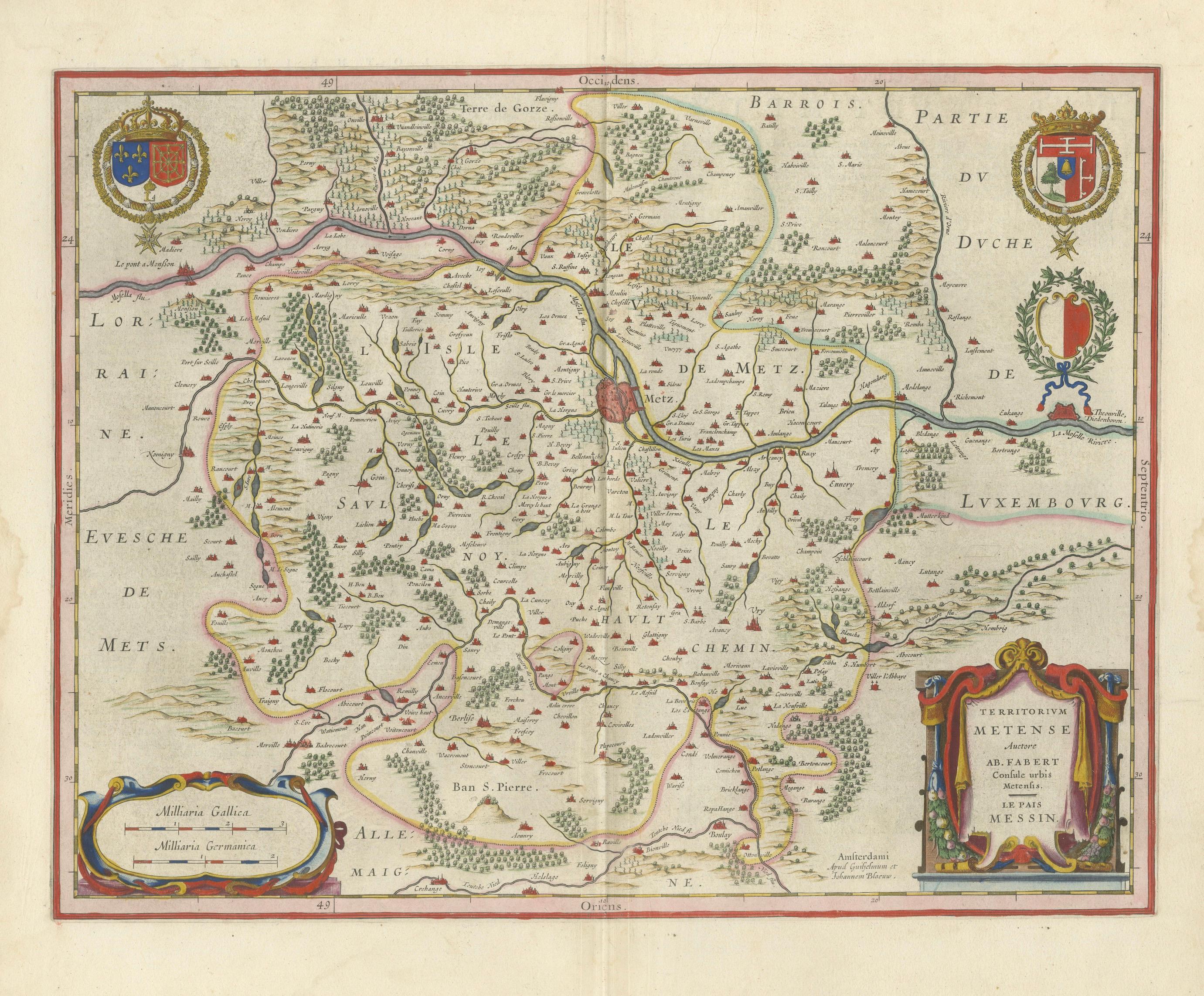
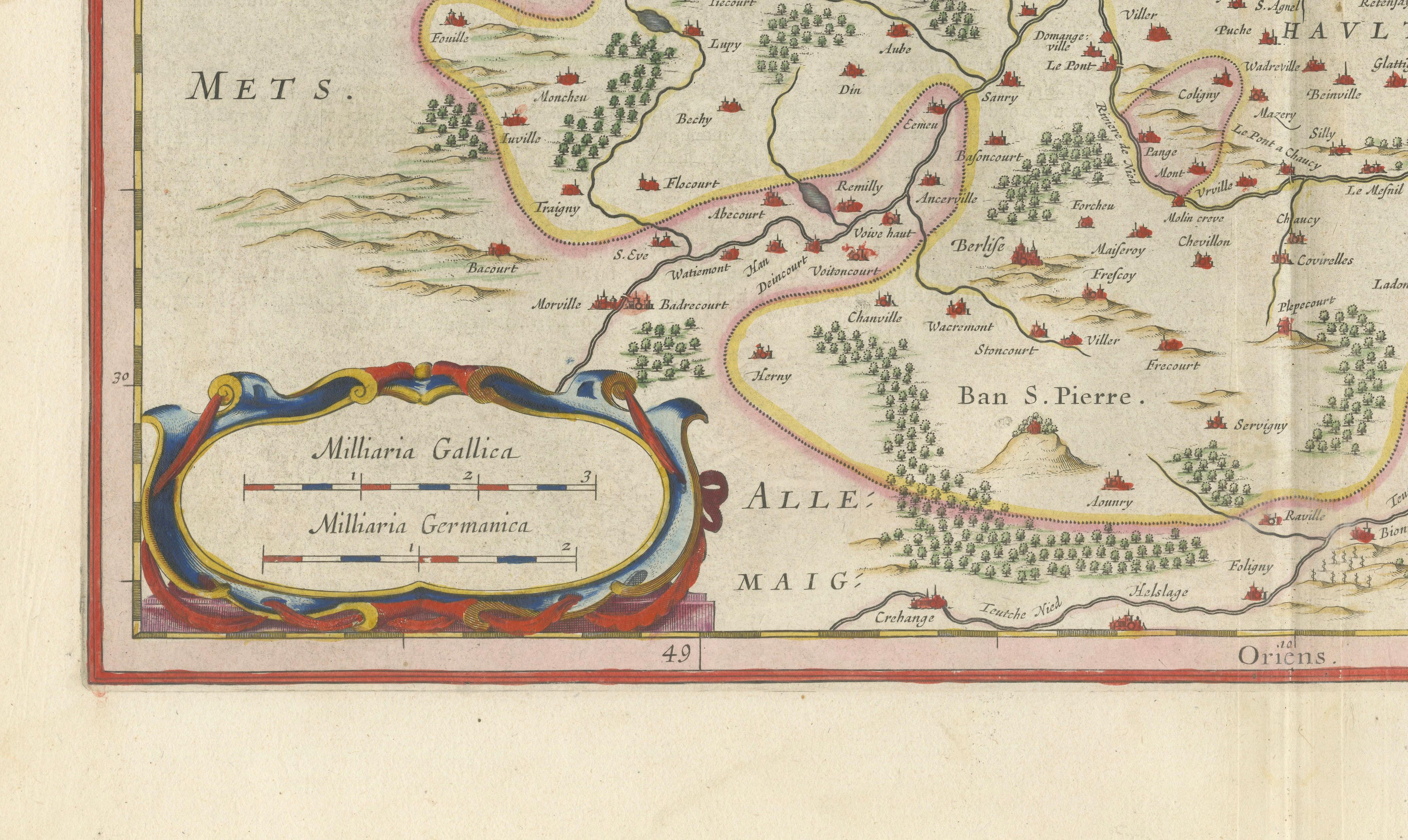
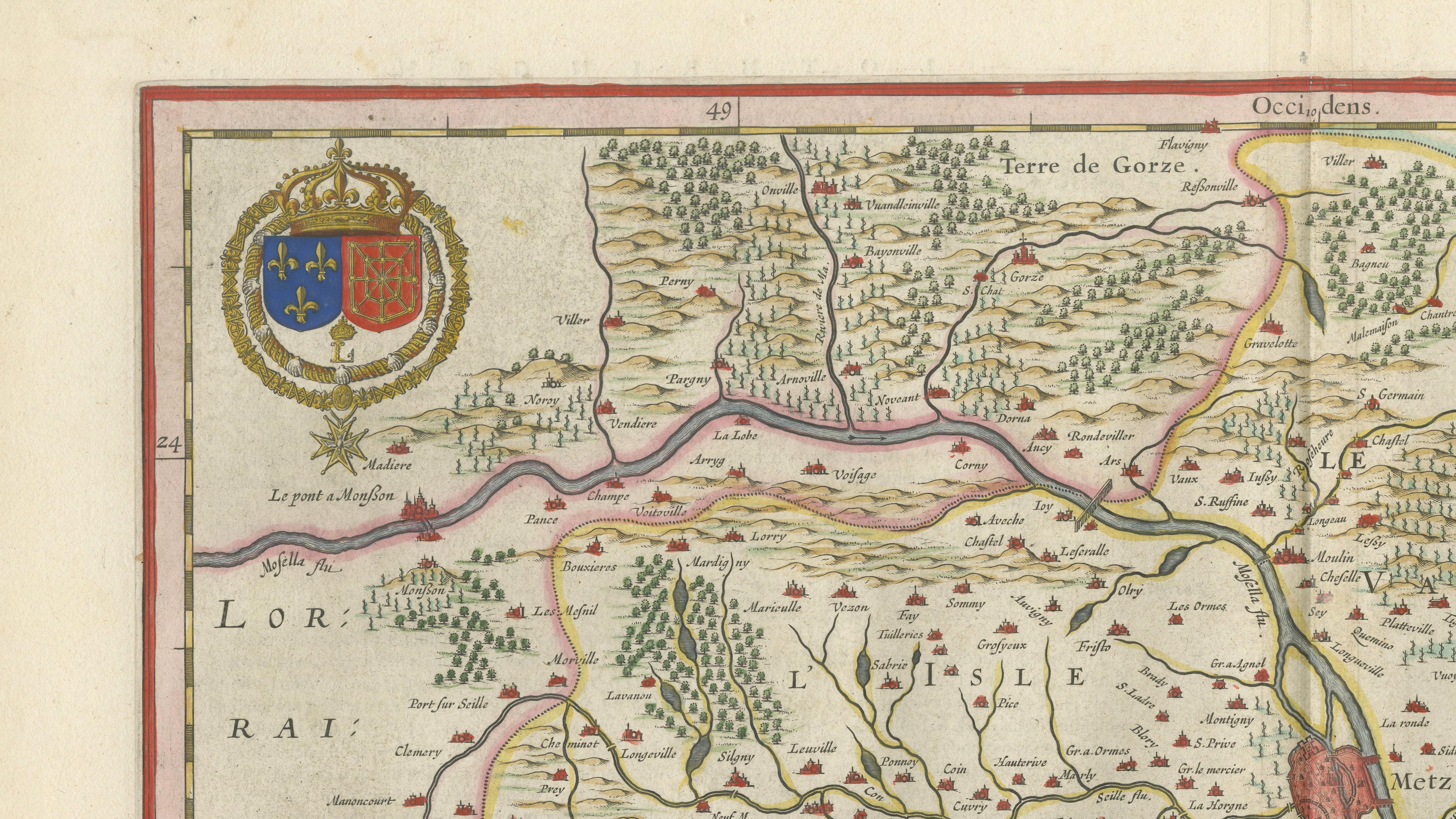
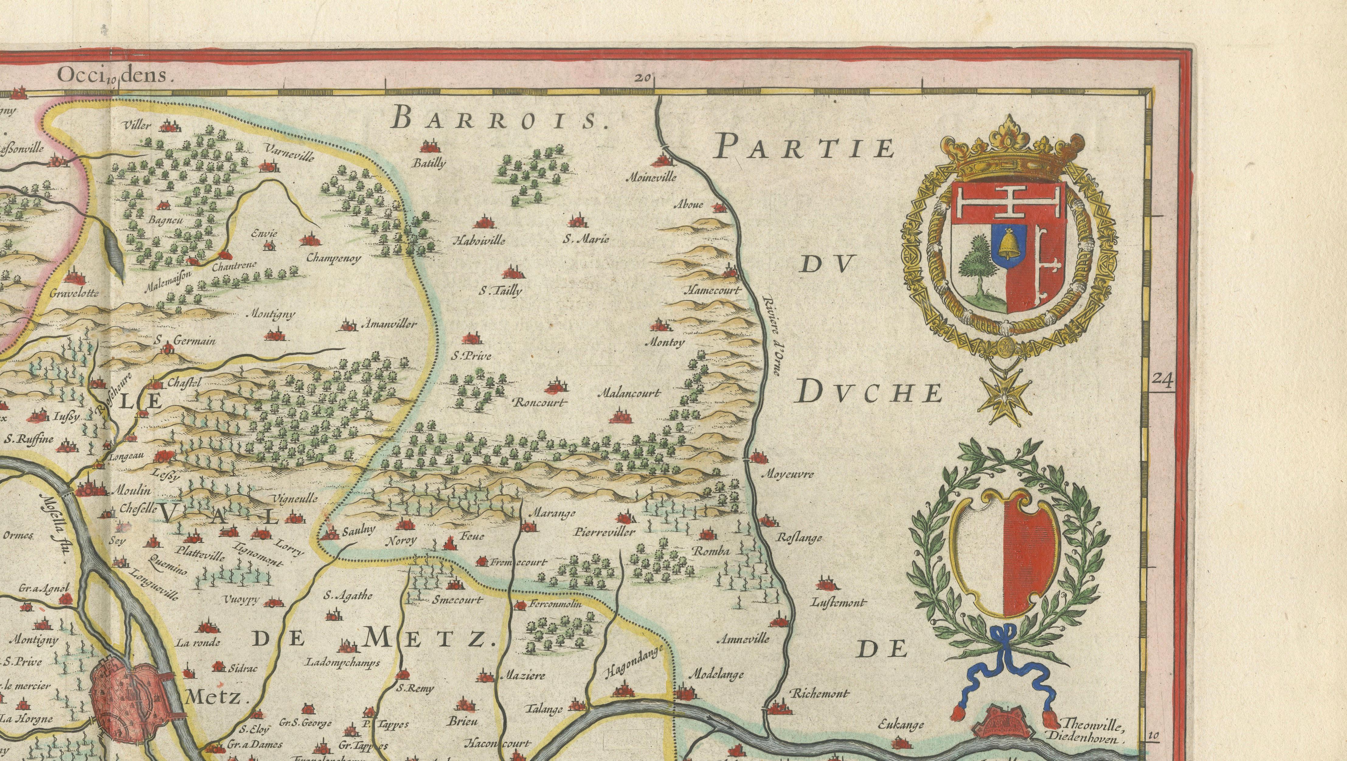
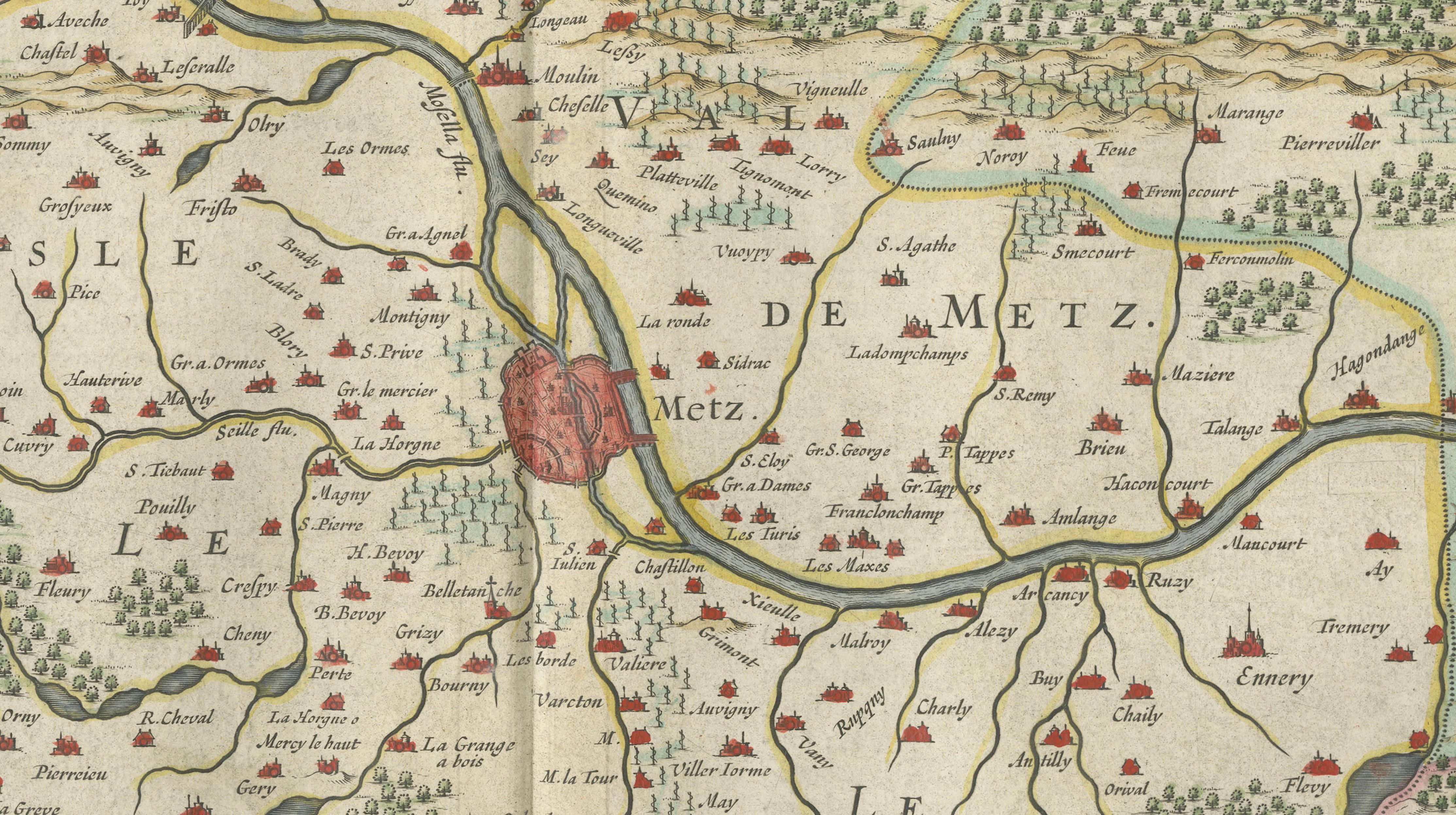
This finely engraved and beautifully hand-colored map depicts the historic region surrounding Metz, Verdun, and Toul in northeastern France. Published by Willem Janszoon Blaeu in Amsterdam in the 1642 edition of his celebrated atlas Toonneel des Aerdrycx, the map illustrates one of the most strategically important frontier regions of early modern Europe.
Centered on the city of Metz, the map covers the territory historically known as the Trois-Évêchés, or Three Bishoprics, comprising Metz, Toul, and Verdun. During the sixteenth and seventeenth centuries these territories formed a contested borderland between the Kingdom of France and the Holy Roman Empire, making them a focal point of military, political, and religious influence. Blaeu's map records an intricate network of rivers, roads, forests, villages, castles, and fortified towns, providing a remarkable snapshot of the region during the height of the Dutch Golden Age of cartography.
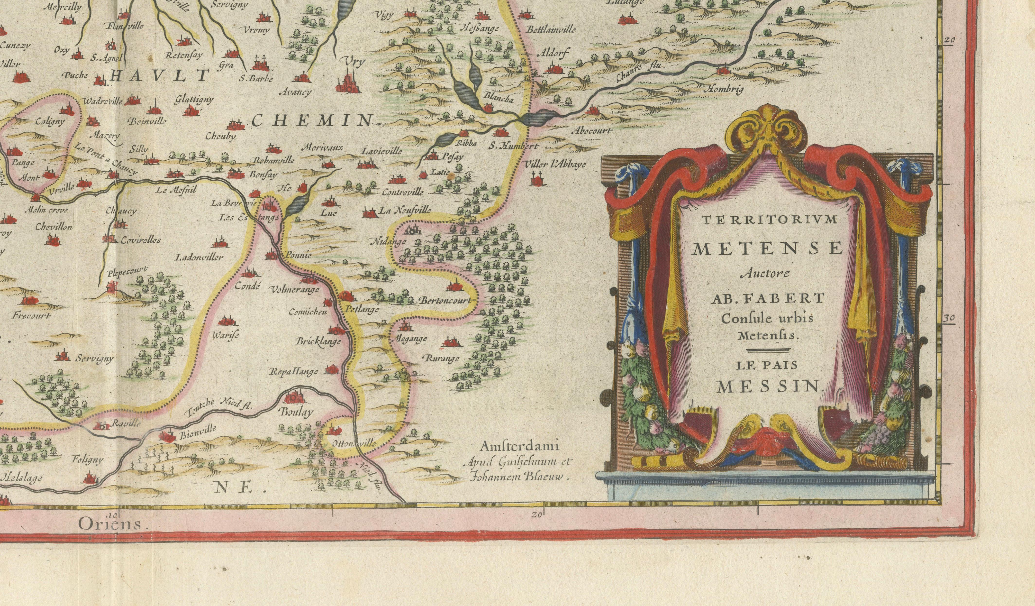
Decorative armorial bearings and an elegant title cartouche enrich the composition while reflecting the prestige associated with Blaeu's atlases. Although published by Blaeu, the map ultimately derives from the influential Mercator-Hondius cartographic tradition that formed the foundation of many of the finest Dutch atlases of the seventeenth century.
The map combines historical significance, decorative appeal, and exceptional craftsmanship. Original hand coloring highlights political boundaries and enhances the intricate engraved detail. As a genuine Blaeu atlas map from one of the most sought-after publications of the Dutch Golden Age, it represents an excellent opportunity for collectors of French regional maps, antique cartography, and seventeenth-century decorative prints.
Keywords: Metz, Lorraine, Verdun, Toul, Three Bishoprics, Trois-Évêchés, France, Holy Roman Empire, Moselle River, Meuse River, Nancy, Blaeu atlas, Willem Janszoon Blaeu, Amsterdam, 1642, Mercator, Dutch Golden Age, historical cartography, antique map, hand-colored map, fortified cities, seventeenth-century France.
Special note: This is an original 17th-century map, not a reproduction. All items we offer are authentic period works of art over 100 years old. The map is sold unframed; any framed images are shown for presentation and interior inspiration only and may not always be on scale with the original.
Condition Report
Original centerfold as issued. Original hand color. Light age toning with occasional minor spotting. Marginal stains outside the image and minor edge wear consistent with age. Strong impression with wide margins.
Framing Tips
This map displays beautifully in a dark walnut, ebonized, or lightly gilded frame with an ivory museum mat. The original hand coloring works particularly well in traditional French interiors, libraries, studies, and classic European-style rooms.
Technique: Copperplate engraving with original hand color
Maker: Willem Janszoon Blaeu, Amsterdam, 1642