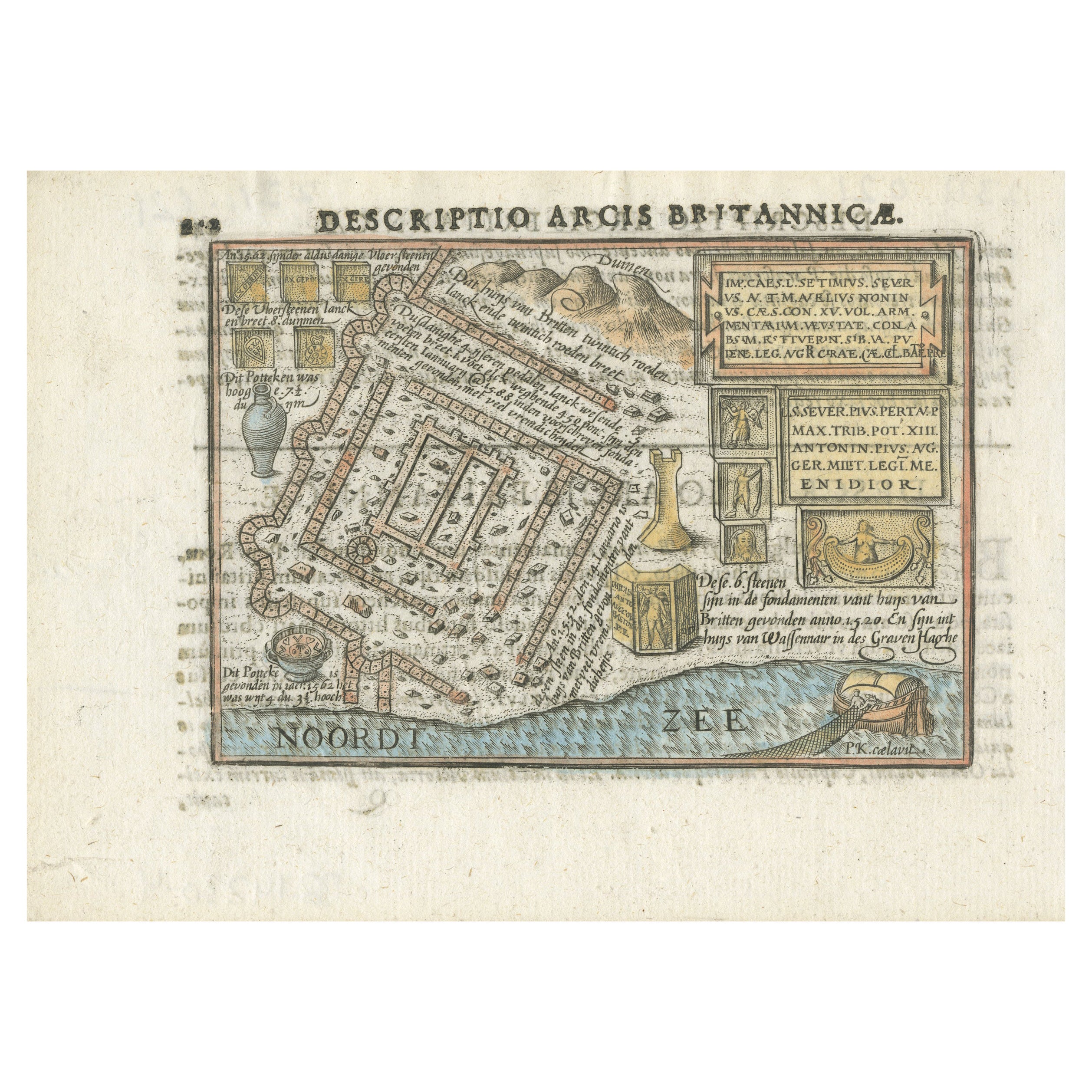
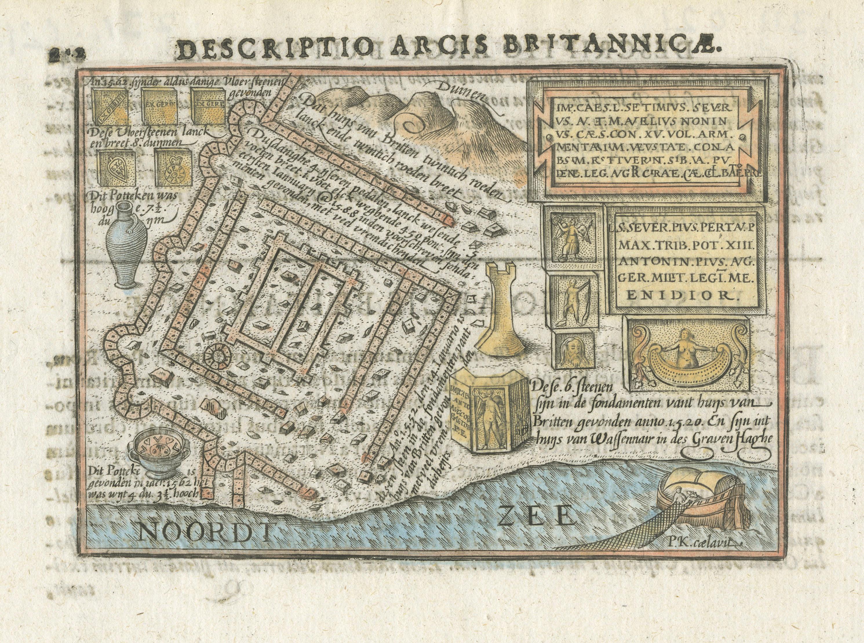
Roman Fort of Brittenburg at Katwijk – Dutch Antique Miniature Map, c.1606
€ 261
One of a kind: this is the sheet in the photographs. Ships from Langweer, the Netherlands.
Date
1606
Sheet size
12.4 × 17.1 cm (4.9 × 6.7 in)
Condition
Good
Reference
BG-14230-4
Condition
Crisp impression on hand-laid paper with Latin text to verso as issued. Attractive later hand coloring. Good overall condition with light age toning consistent with early 17th-century prints; no repairs or restoration noted.
About this sheet
Brittenburg Roman Fort Katwijk Antique Miniature Map, Petrus Bertius 1606
A rare and historically fascinating early 17th-century miniature map titled “Descriptio Arcis Britannicae,” depicting the Roman fort and settlement of Lugdunum Batavorum — also known as Brittenburg — located near present-day Katwijk on the North Sea coast of the Netherlands. Created by Petrus Bertius and engraved by Pieter van den Keere, this map was published in Amsterdam in 1606 by Cornelis Nicolai in the influential atlas *Tabularum Geographicarum Contractarum Libri Quinque*.
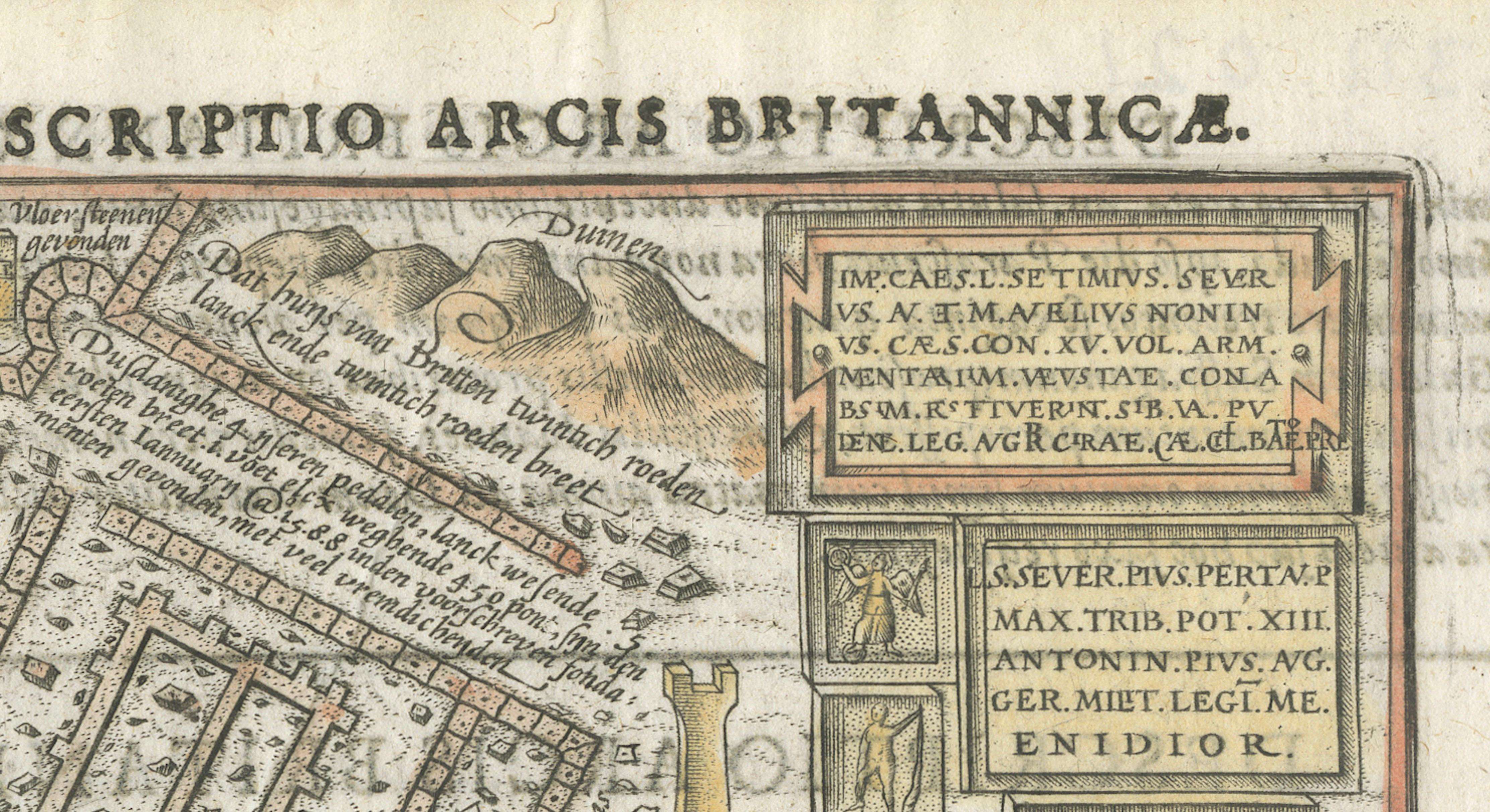
The map presents a detailed reconstruction of the Roman fort as it was understood during the early modern period, illustrating walls, internal structures, and surrounding terrain alongside depictions of archaeological finds recovered from the site. In Roman times, Lugdunum Batavorum formed an important frontier settlement along the northern boundary of the Roman Empire, marking part of the limes along the Rhine delta. Historical records from the early seventeenth century note that remains of the fort were still visible at low spring tides, which inspired antiquarian interest and led to its detailed depiction here.
Unusually, the orientation places north downward, adding visual intrigue and emphasizing the shoreline context along the North Sea (“Noordt Zee”). Decorative elements include engraved panels illustrating Roman artifacts and inscriptions, reinforcing the antiquarian spirit of the map and reflecting early archaeological curiosity. The fine copper engraving demonstrates the precision associated with Dutch Golden Age cartography, while later hand coloring enhances the visual appeal without obscuring engraved detail.
Petrus Bertius (1565–1629), a Flemish-born theologian, historian, and cartographer educated at Leiden University, collaborated closely with leading figures of Dutch cartography. His connections with Jodocus Hondius and Pieter van den Keere situate this work within the broader tradition of early modern atlas production, making it both a historically significant document and an attractive decorative piece.
Condition: Crisp impression on hand-laid paper with Latin text to verso as issued. Attractive later hand coloring. Good overall condition with light age toning consistent with early 17th-century prints; no repairs or restoration noted.
Framing tips: Particularly striking when framed with a deep ivory or warm neutral mat to emphasize the miniature format and engraved details. A dark walnut, black, or subtly gilded frame enhances the early Dutch character and creates a museum-style presentation.
Technique: Copper engraving with later hand color Maker: Petrus Bertius; engraved by Pieter van den Keere, Amsterdam, 1606