About this sheet
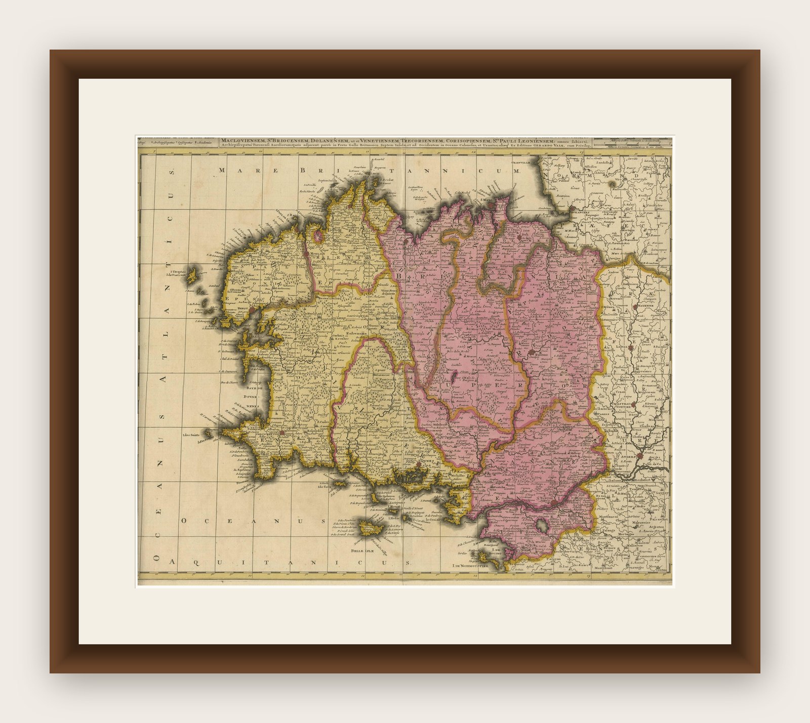
Map of Brittany and Western France by Gerard Valk, circa 1700
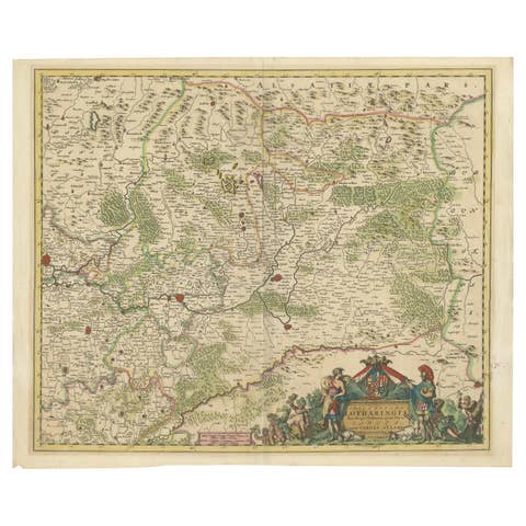
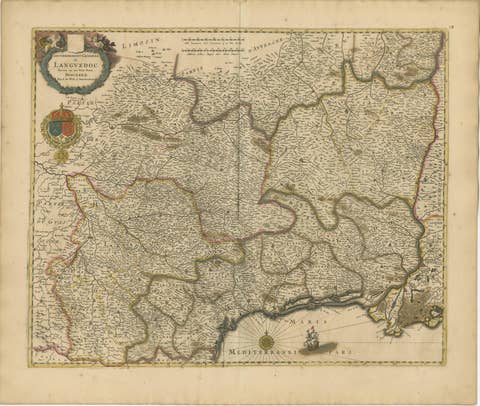
This finely detailed antique map, titled Praefectura Ducatus Britanniae, Quae Superior et Inferior, was created around 1700 by the Dutch cartographer Gerard Valk. It presents an expansive view of the Duchy of Brittany (Bretagne), historically one of the most culturally distinct and politically significant regions of France. The map reaches eastward to include major cities such as Nantes, Rennes, and Saint-Malo, showing the full extent of both Upper and Lower Brittany.
Gerard Valk (1652–1726) was a prominent mapmaker and globe manufacturer based in Amsterdam. He collaborated with Pieter Schenk and other leading Dutch engravers to publish a number of influential atlases and wall maps. Valk’s maps are known for their clarity, strong engraving technique, and elegant color schemes, and they remain highly desirable among collectors of early cartography.
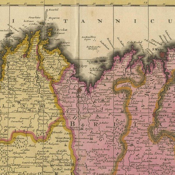
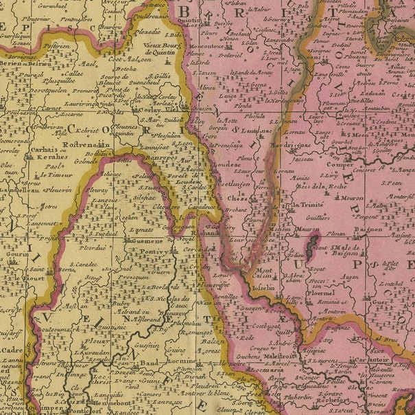
This particular map displays the western peninsula of France in striking detail, with its rugged coastlines along the Atlantic Ocean, islands such as Belle-Île, and extensive inland geography. Administrative divisions are outlined in yellow and pink hand-coloring, clearly marking the boundaries of ecclesiastical and civil jurisdictions. Towns, rivers, forests, and roadways are all carefully engraved, creating a layered and accurate representation of the region as it stood at the dawn of the 18th century.
The map includes references to bishoprics and archbishoprics, underlining the strong ecclesiastical structure of the region. Its Latin title and classical labeling reflect the scholarly nature of maps in this period, serving both practical and educational purposes.
As a historical object, this map captures a time just before the unification and modernization of the French administrative system. Brittany still retained elements of its medieval autonomy and cultural identity, especially through its language, customs, and religious institutions.
Condition summary:
Good condition with original hand-coloring. Centerfold as issued. Slight toning at edges, but overall crisp and well-preserved. Strong paper.
Framing tips:
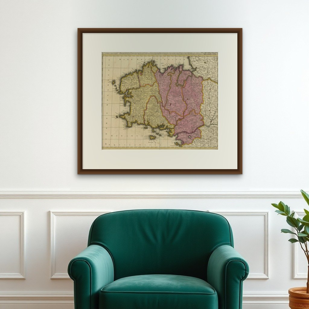
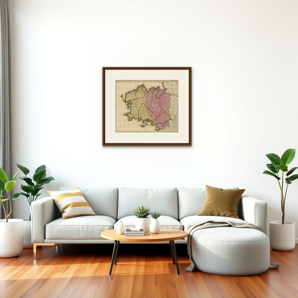
Best suited for a gold or dark wood frame with a warm off-white or ivory mat. This will enhance the classical feel and draw out the color contrast. Use museum glass to preserve the detail and reduce glare.