About this sheet
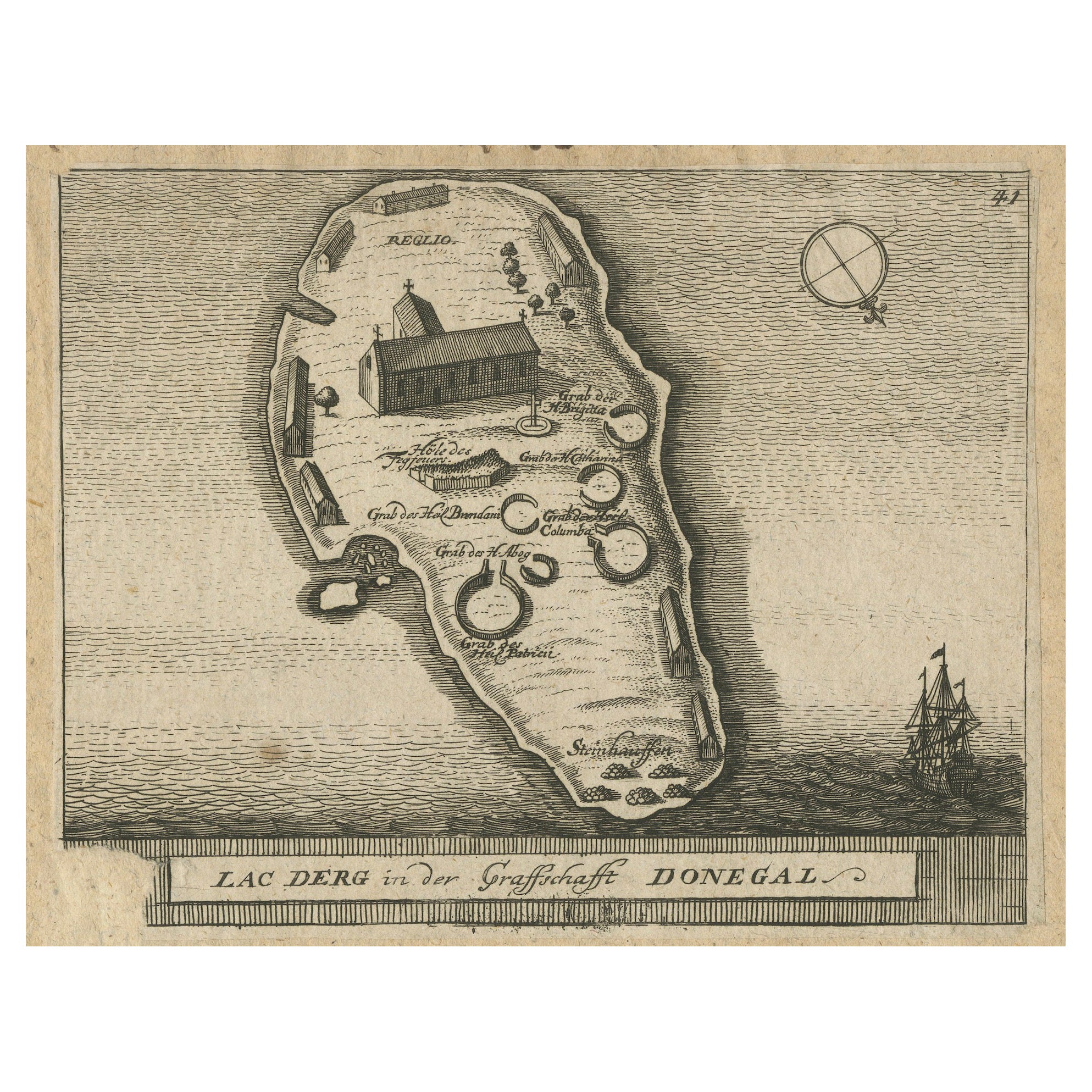
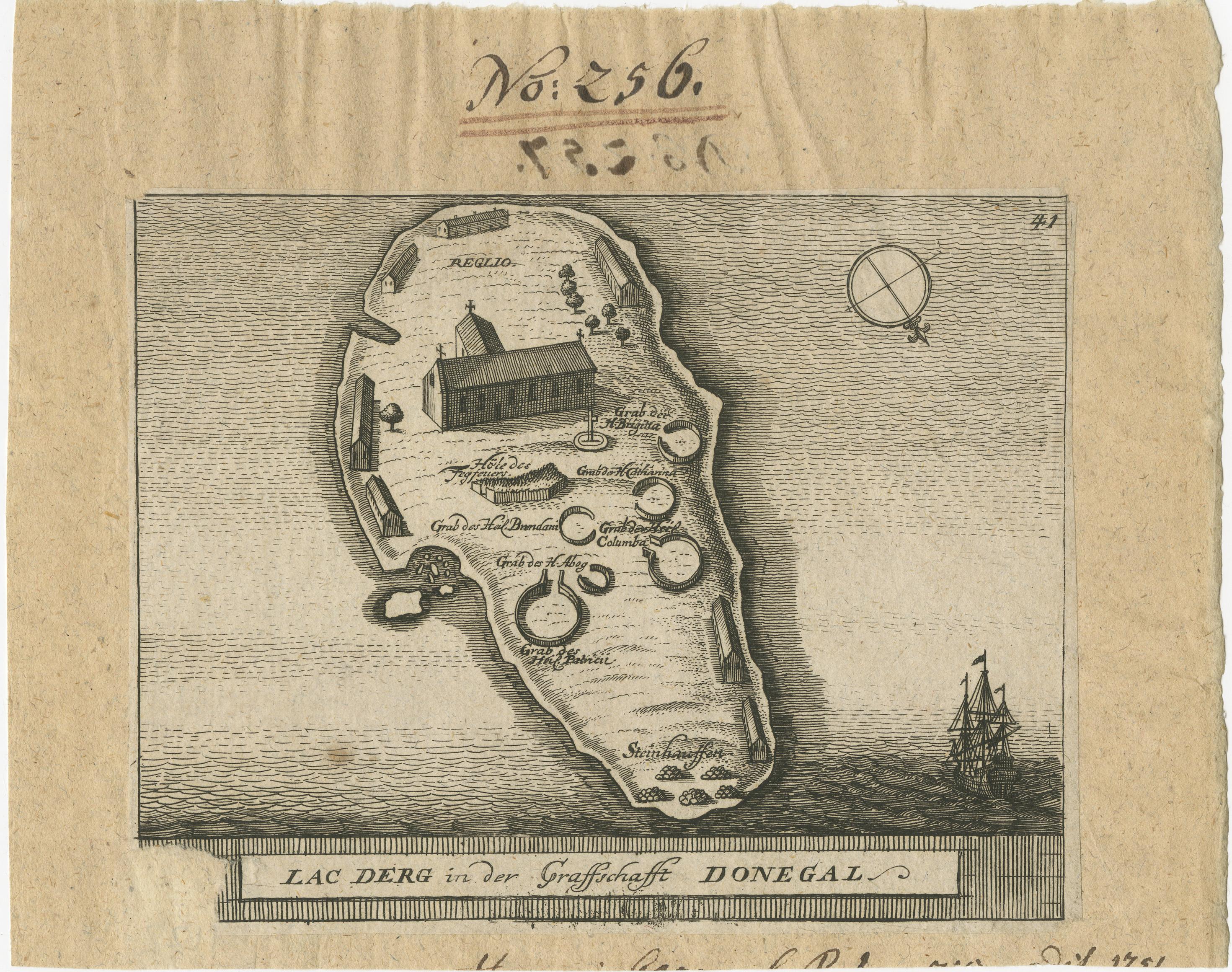
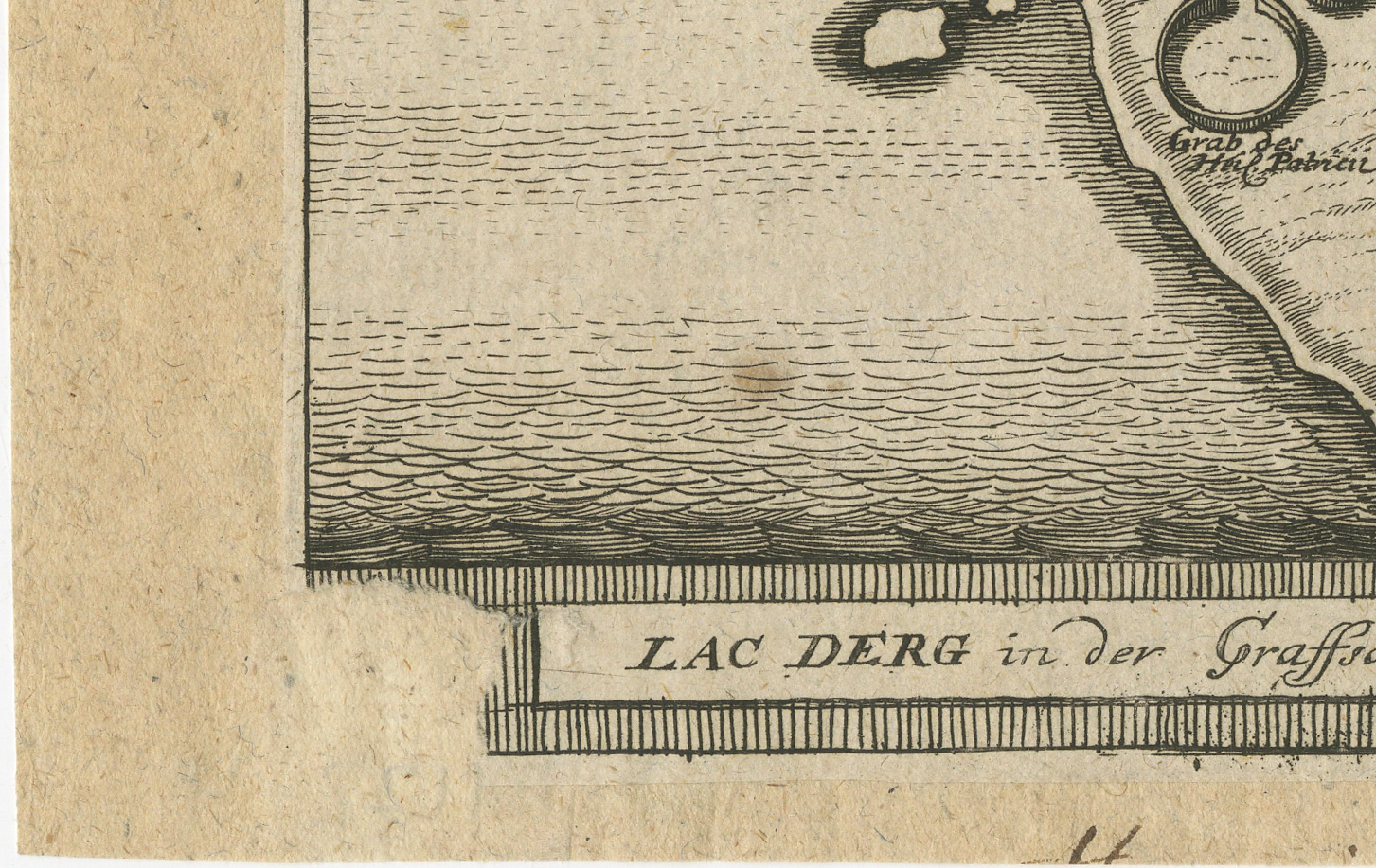
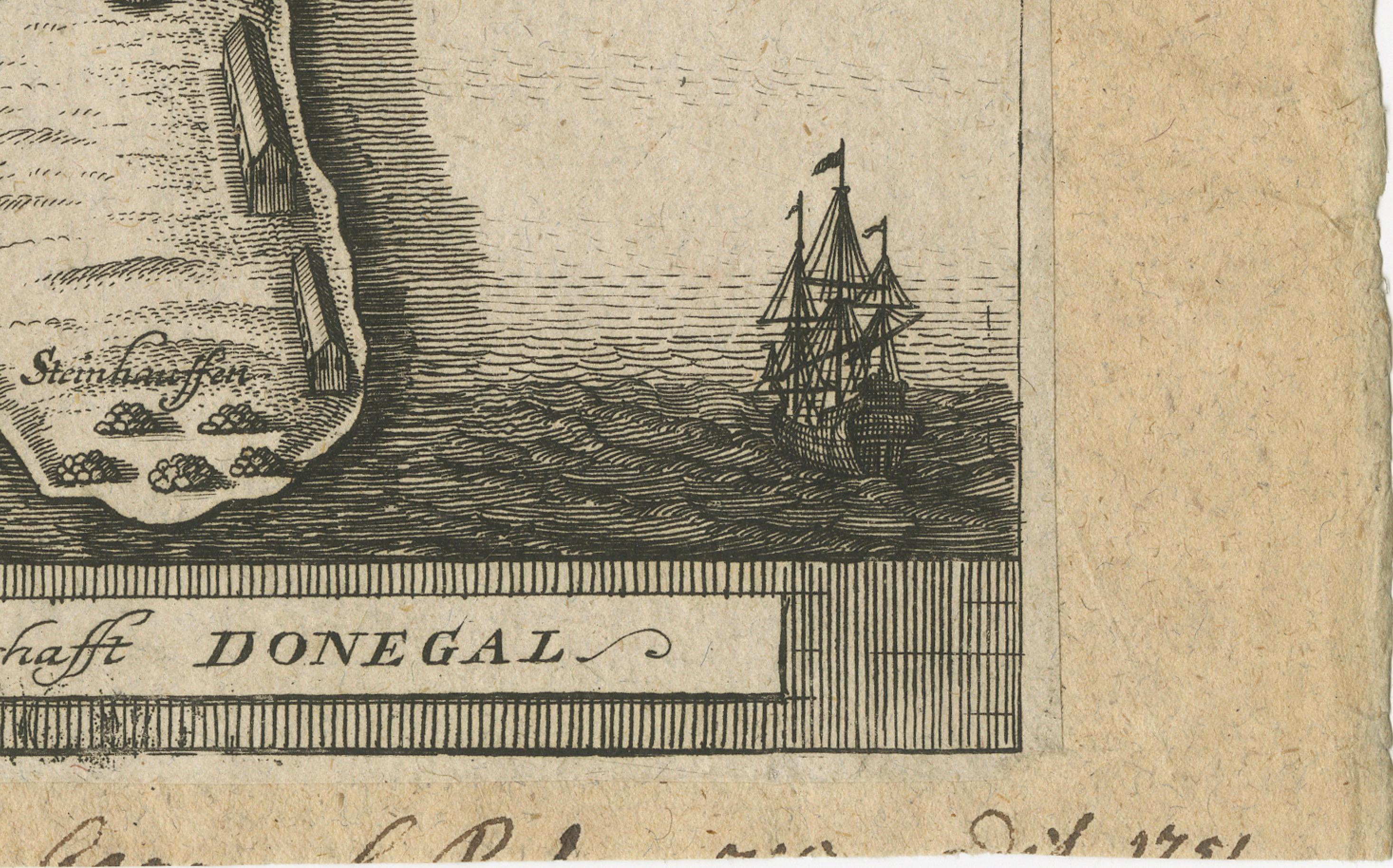
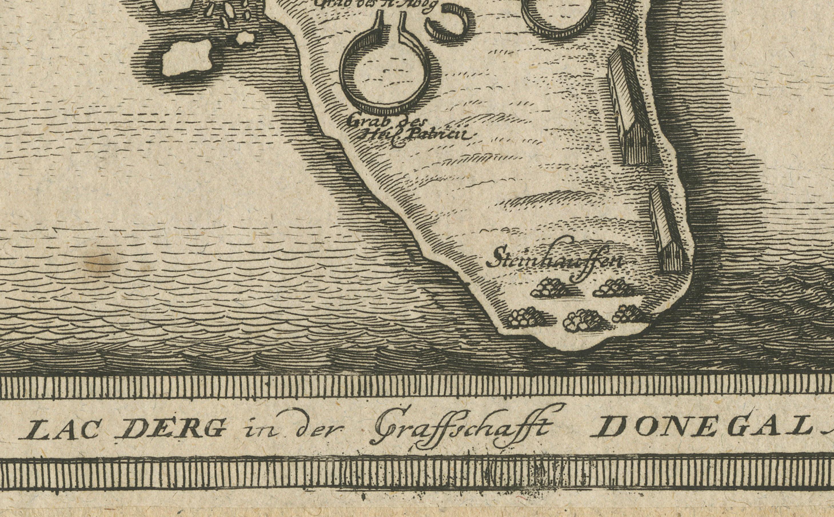
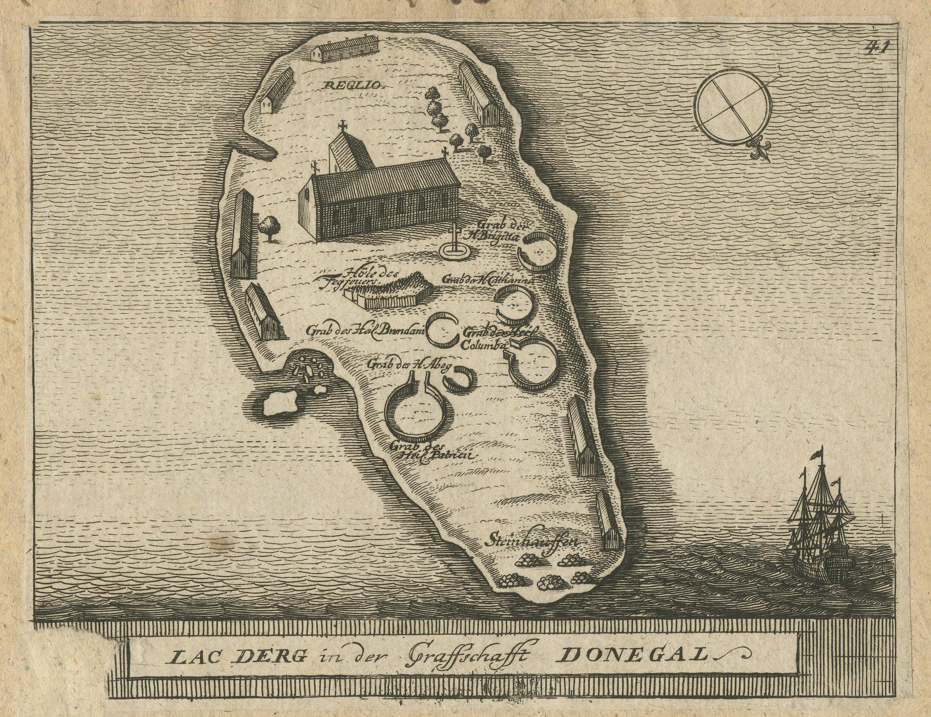
Lac Derg in der Graffschafft Donegal - (Lough Derg in County Donegal).
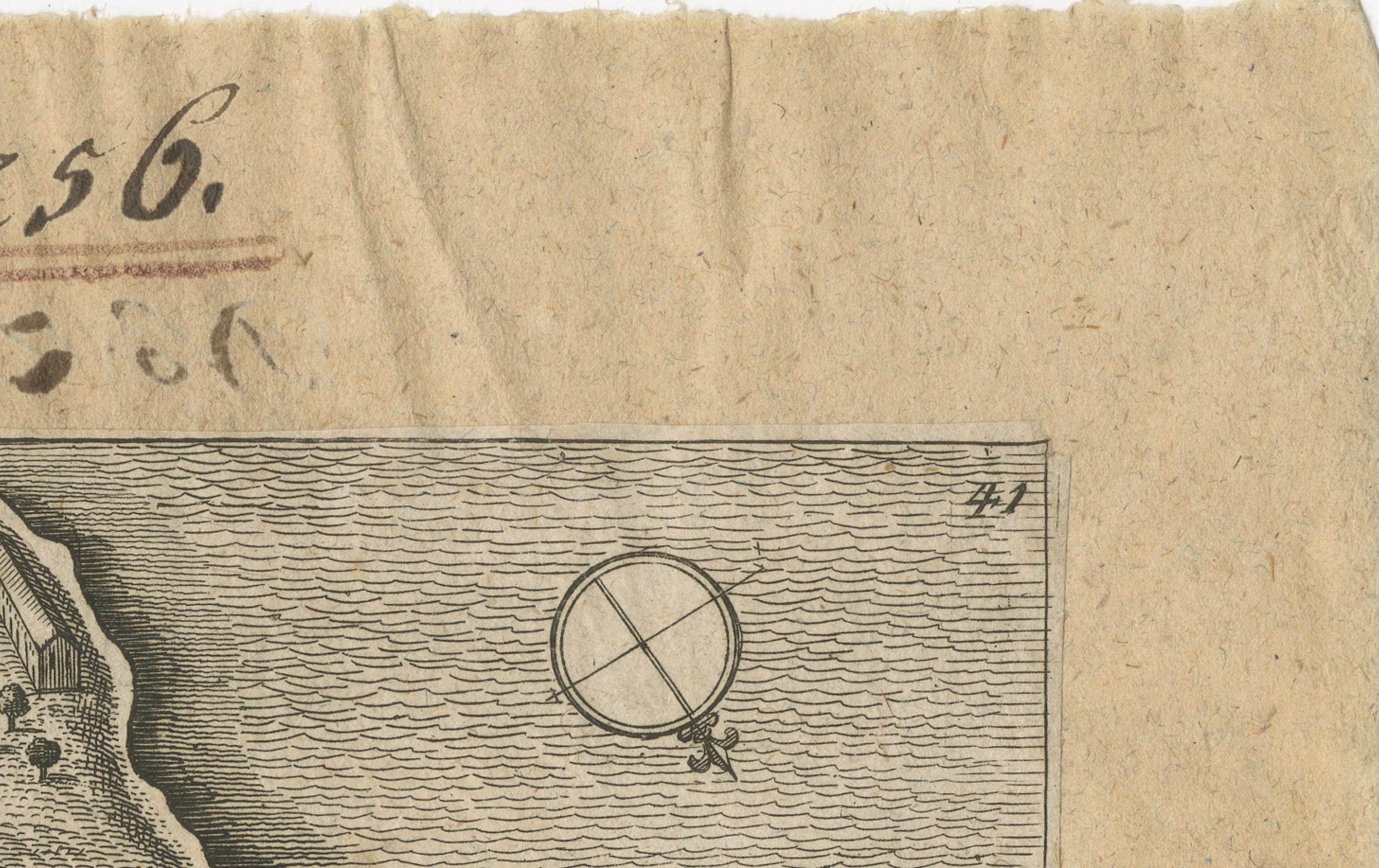
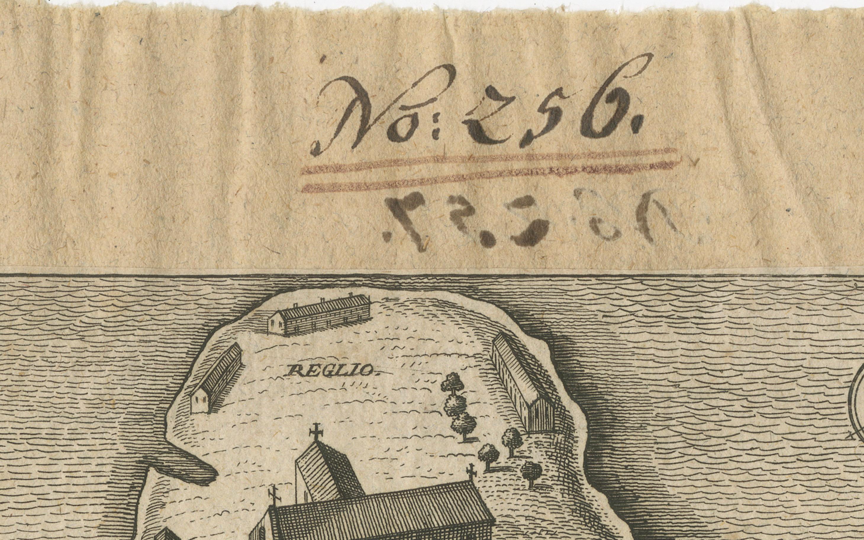
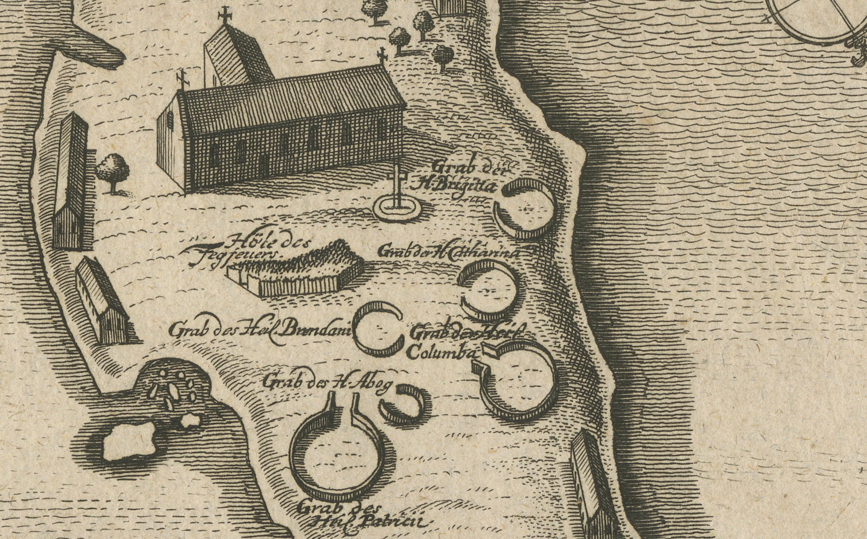
This engraving shows the pilgrimage island in Lough Derg, famous since the Middle Ages as a site of penitential pilgrimage associated with St. Patrick’s Purgatory. The map is oriented with north to the right (as indicated by the small compass). It depicts churches, chapels, cells, and tombs of saints, including references to St. Patrick, St. Brendan, and St. Columba, all key figures in Irish Christian tradition.
This style of engraving, along with the German text, suggests it comes from a late 17th to early 18th-century continental publication describing Ireland. Many such engravings appeared in travel and history works printed in Nuremberg and Frankfurt around 1680–1720 (for example, works by Gabriel Bodenehr or Johann Christoph Weigel). The engraved number at top right (43) indicates it was part of a series or book.
Title: Antique Map of Lough Derg – St. Patrick’s Purgatory, Donegal, c.1700
This rare early engraved map presents a bird’s-eye plan of Lough Derg in County Donegal, Ireland, focusing on the famous pilgrimage site known as St. Patrick’s Purgatory. For centuries, this island on Lough Derg was one of the most important pilgrimage destinations in Ireland, attracting pilgrims from across Europe who sought spiritual purification.
The engraving, with German title “Lac Derg in der Graffschafft Donegal”, was produced around 1700 for a continental European audience, eager for descriptions of Irish religious traditions. The map shows the pilgrimage island in detail, including chapels, monastic cells, and marked graves of saints such as St. Patrick, St. Brendan, and St. Columba. A church dominates the central area, while circular enclosures, labeled tombs, and penitential stations reflect the deep spiritual association of this place. A small ship at right emphasizes both the remoteness and accessibility of the island across the lough.
Engravings such as this offered continental readers a fascinating glimpse into Irish Catholic practices, especially at a time when Catholic pilgrimage was under pressure in Ireland itself due to political and religious conflicts. Today, these prints are prized by collectors of Irish history, religious iconography, and early cartography for their rarity and cultural resonance.
Condition report:
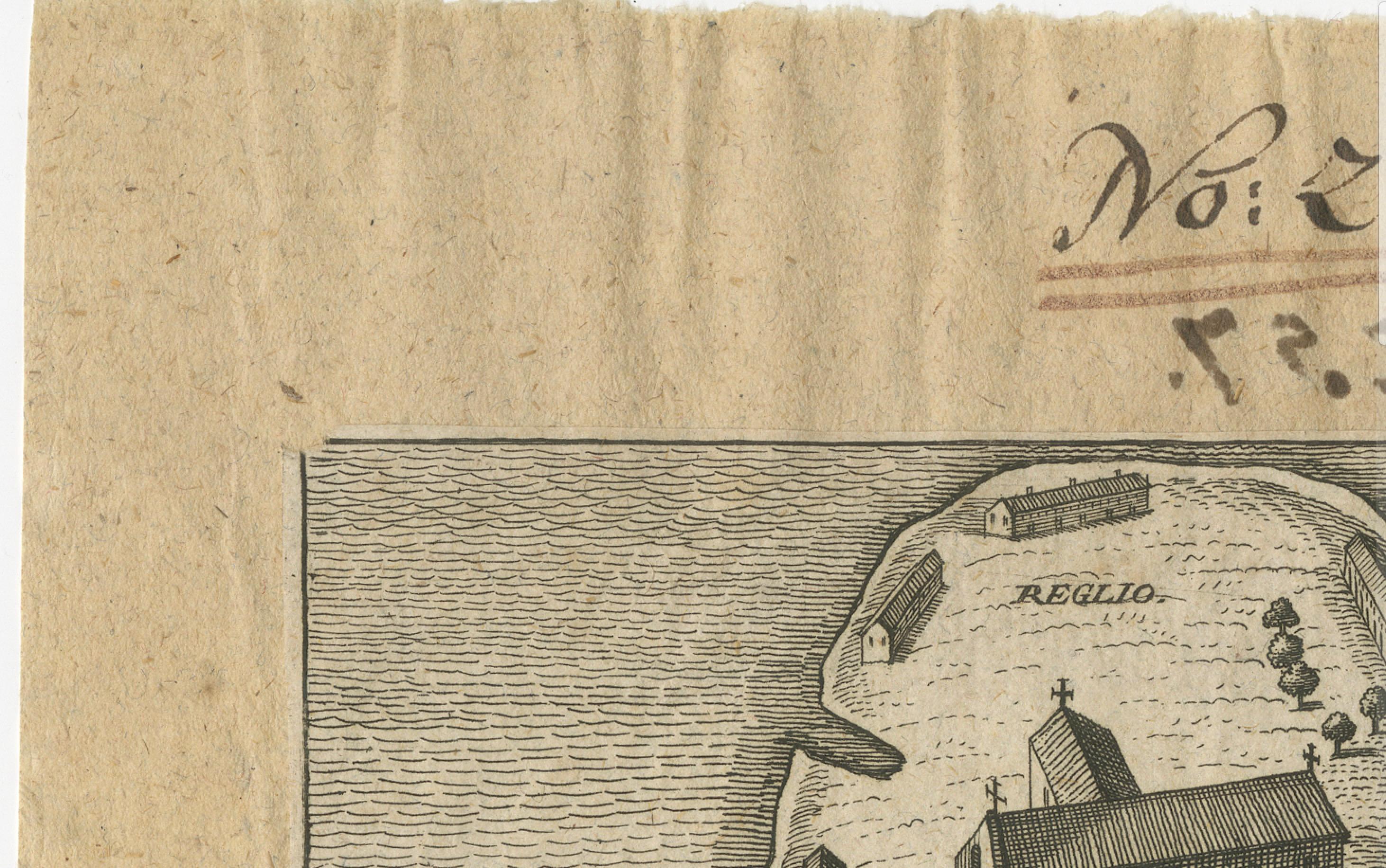
Fair condition for age, with dark impression and fine detail. A small corner teared off and light trimming and handwritten numbering at the top margin, and some creasing to the edges of the sheet. The engraved image is clean and well-preserved, mounted to paper.
Framing tips:
This engraving would display beautifully in a simple dark wood or black frame with a cream mount, which would emphasize the rich linework and antiquarian character. A frame with gilt accents would add gravitas for collectors of Irish historical prints.
Technique: Engraving on laid paper
Maker: German engraver/publisher, c.1700 (possibly Bodenehr or Weigel, Nuremberg)