About this sheet
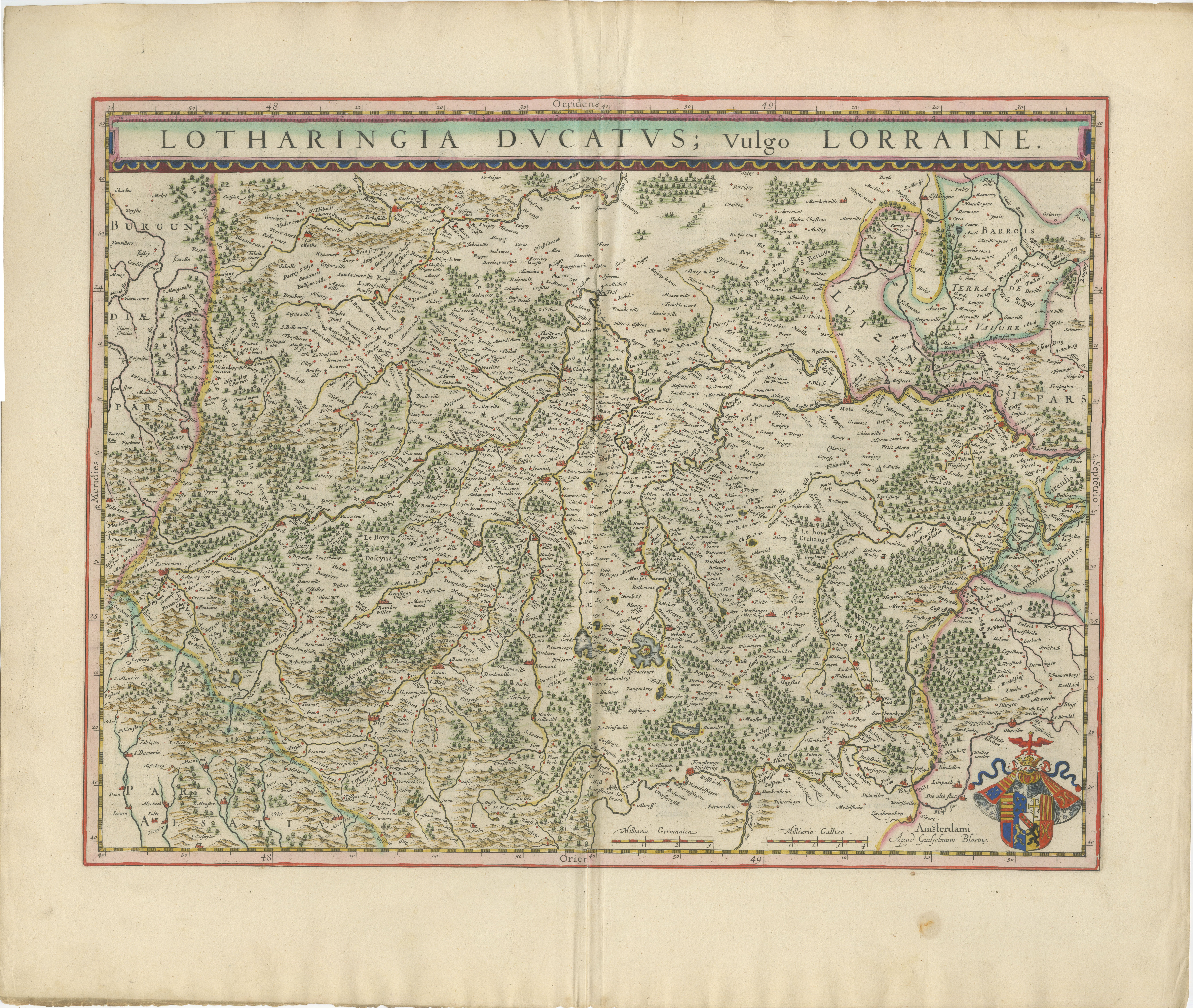
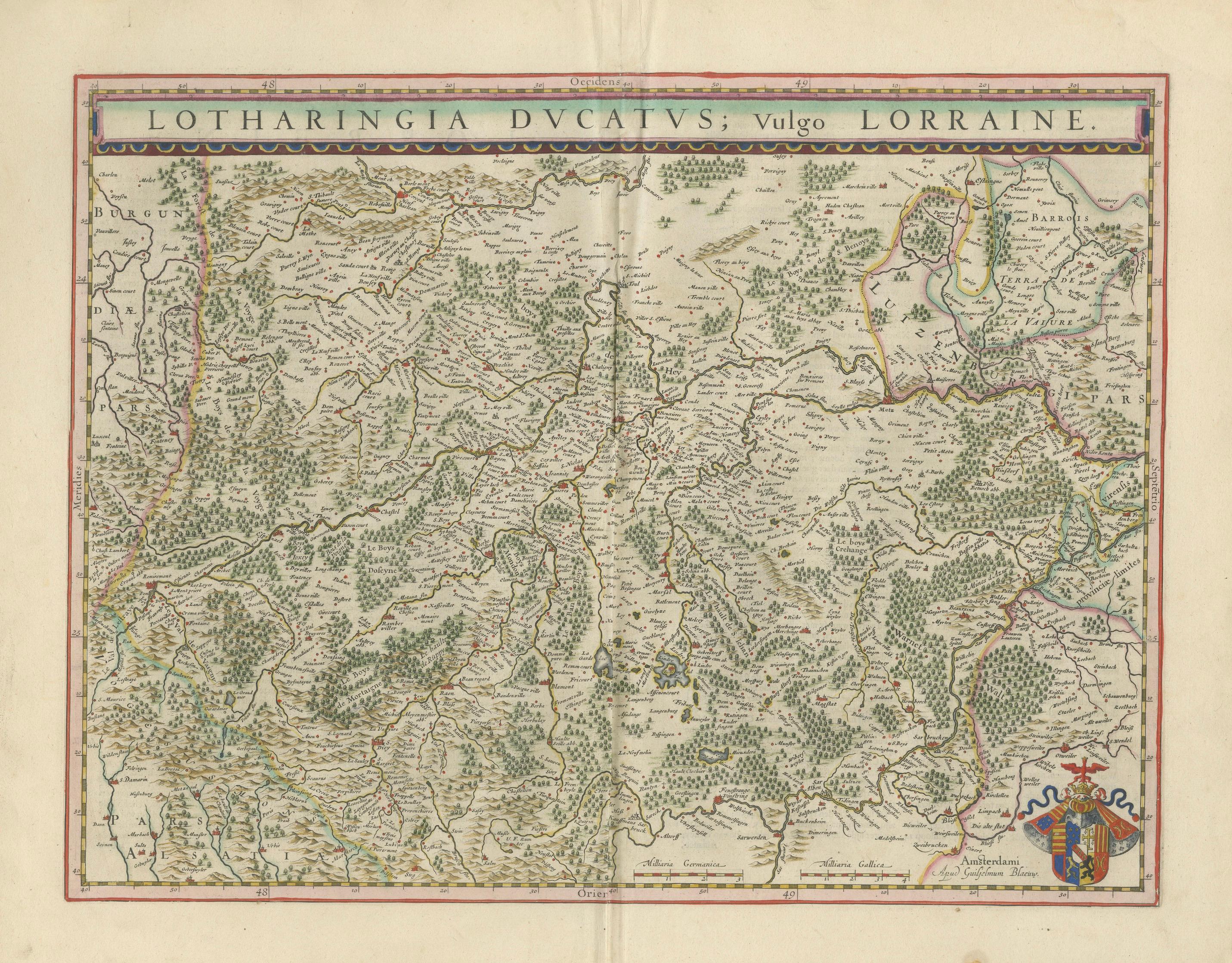
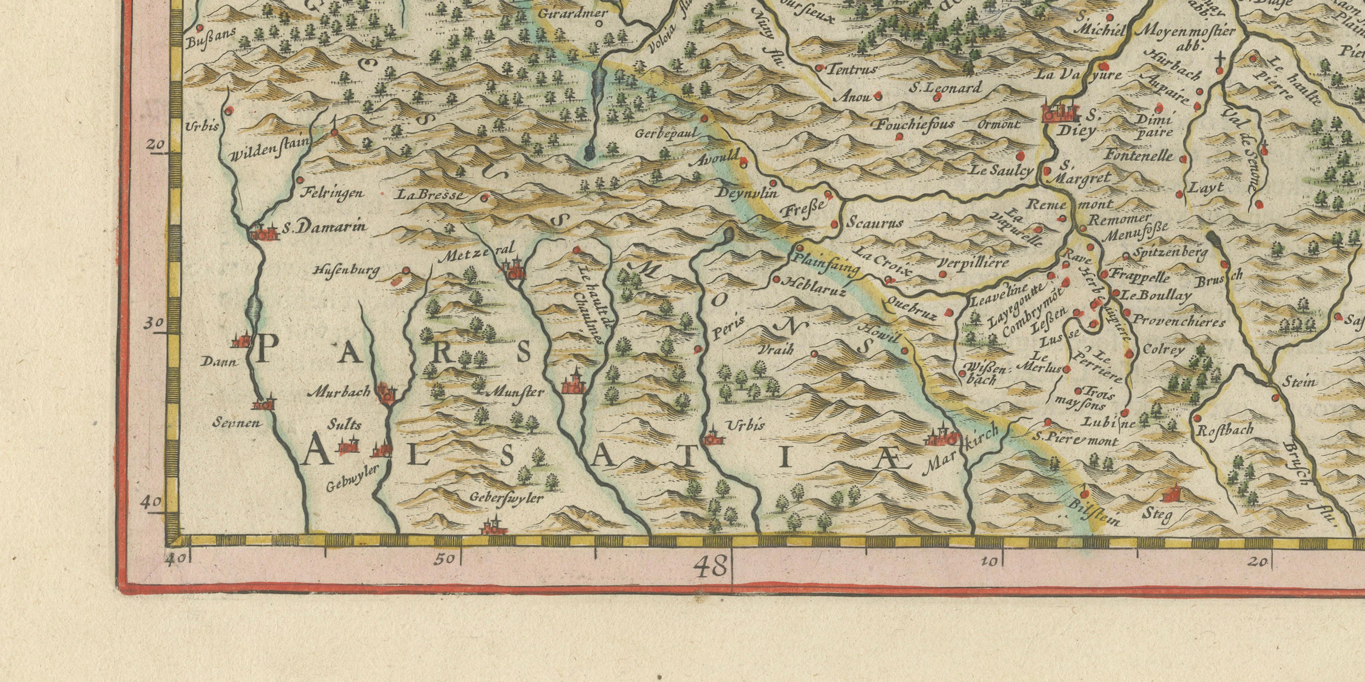
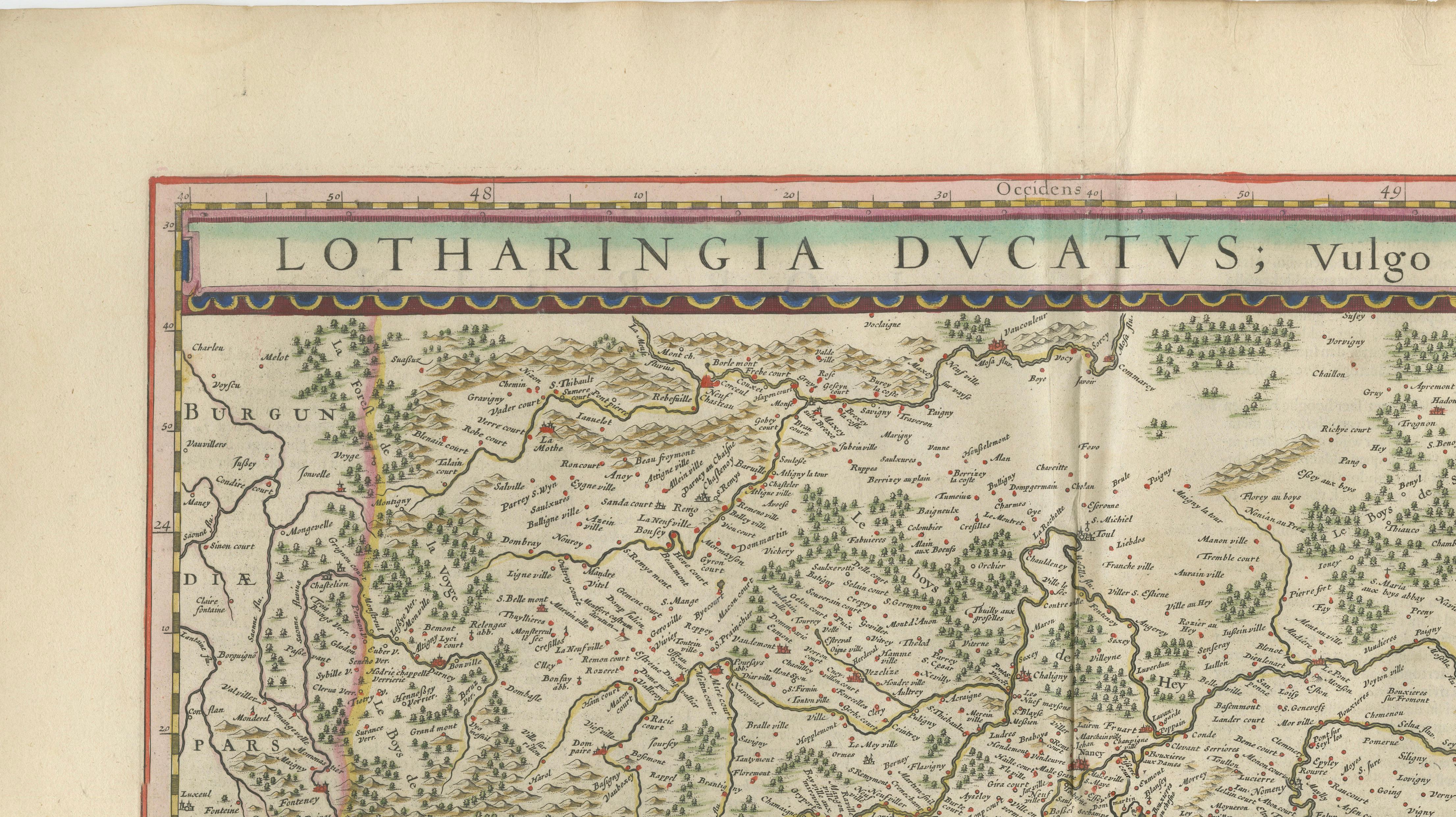
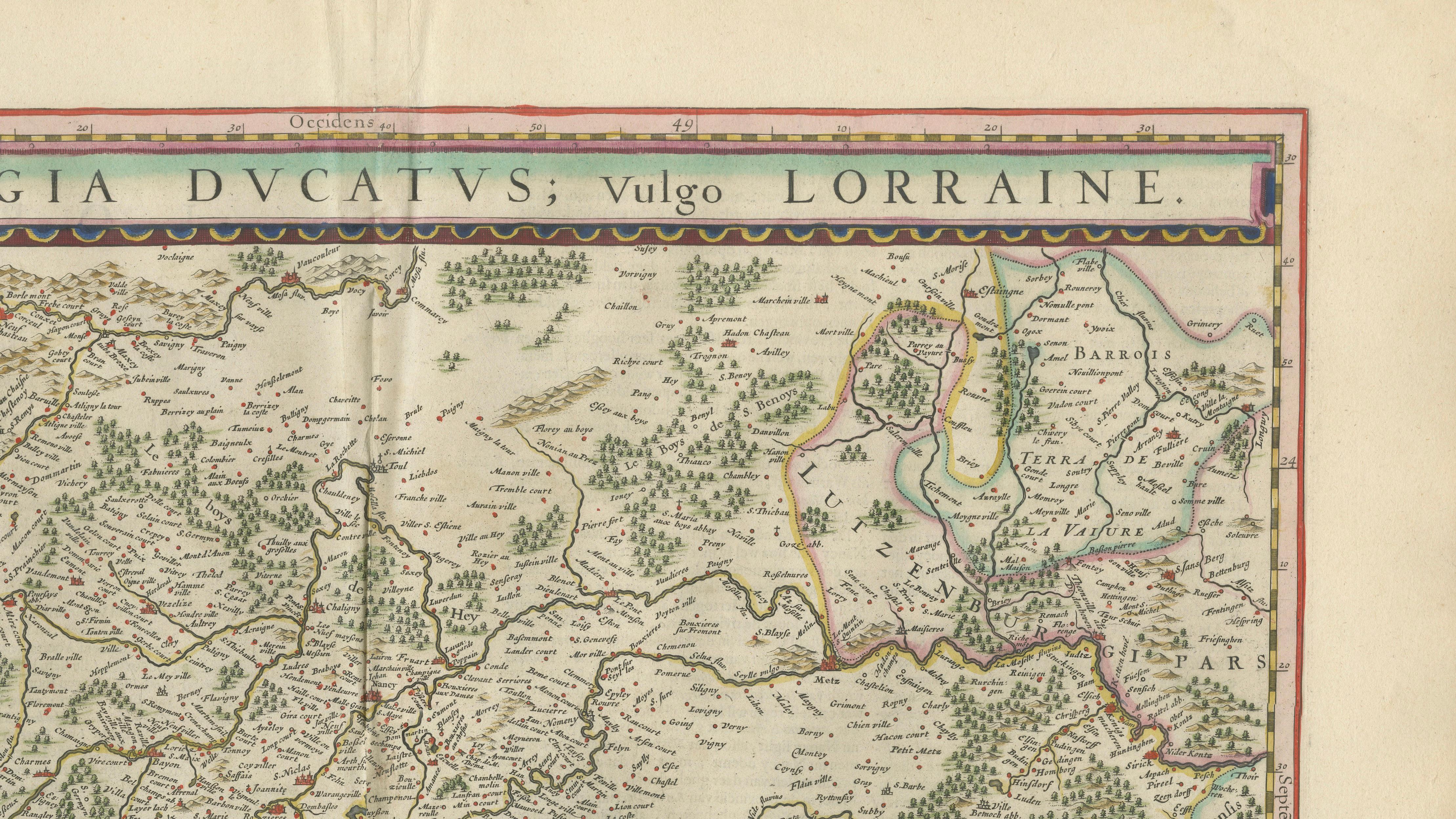
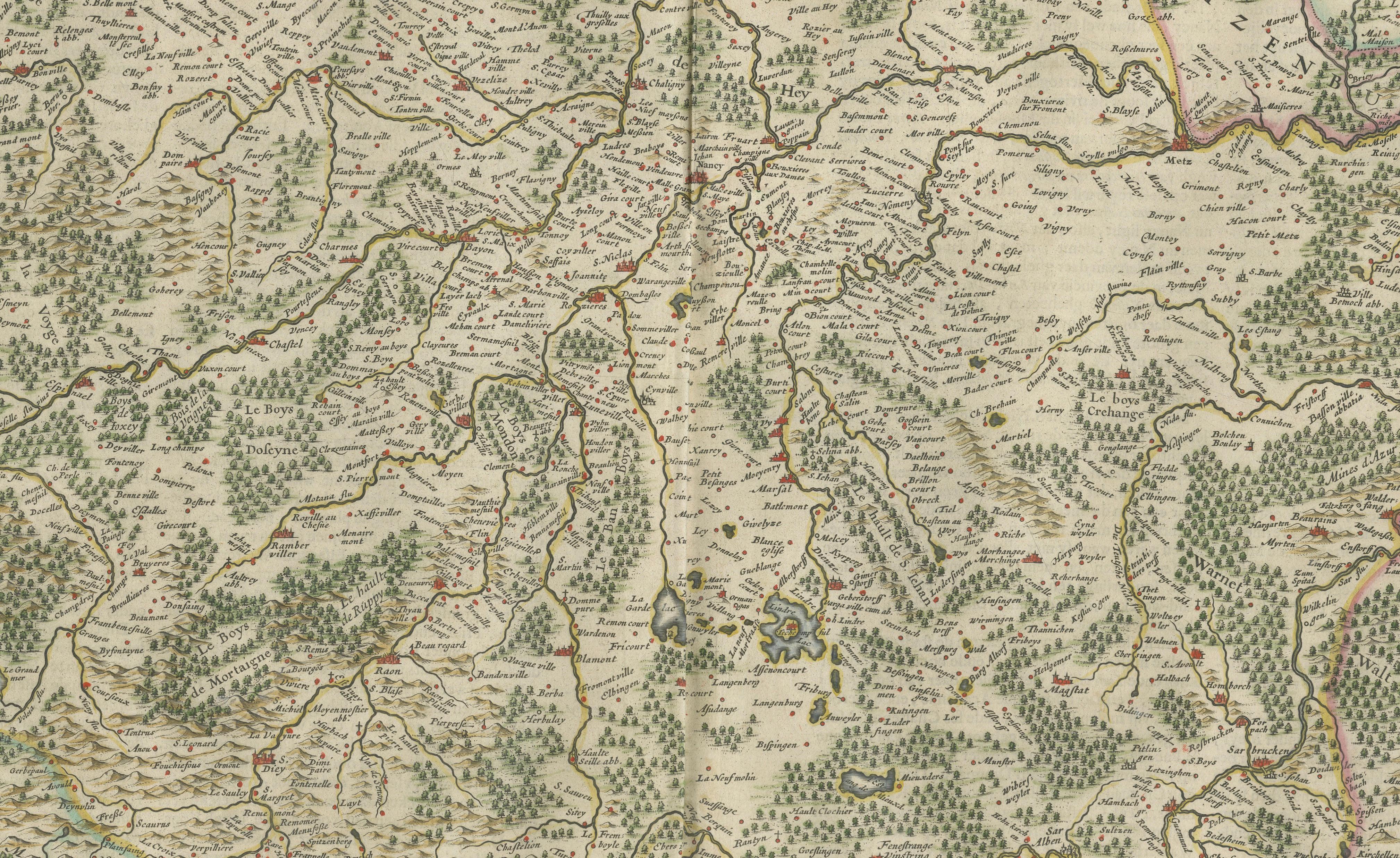
This elegant map of Lorraine, titled "Lotharingia Ducatus; Vulgo Lorraine," is one of the most attractive early cartographic representations of the historic Duchy of Lorraine. Published by the celebrated Amsterdam cartographer Willem Blaeu around 1640, it reflects the height of the Dutch Golden Age of mapmaking, when Amsterdam was the undisputed center of European cartographic production.
The map covers the territory of Lorraine and adjacent regions between Burgundy, Champagne, Alsace, and the German states. Hundreds of towns, villages, forests, rivers, and mountain ranges are carefully engraved, creating a remarkably detailed portrait of northeastern France and the borderlands of the Holy Roman Empire. The Vosges Mountains are prominently shown, while extensive woodland symbols reveal how heavily forested much of the region remained during the seventeenth century.
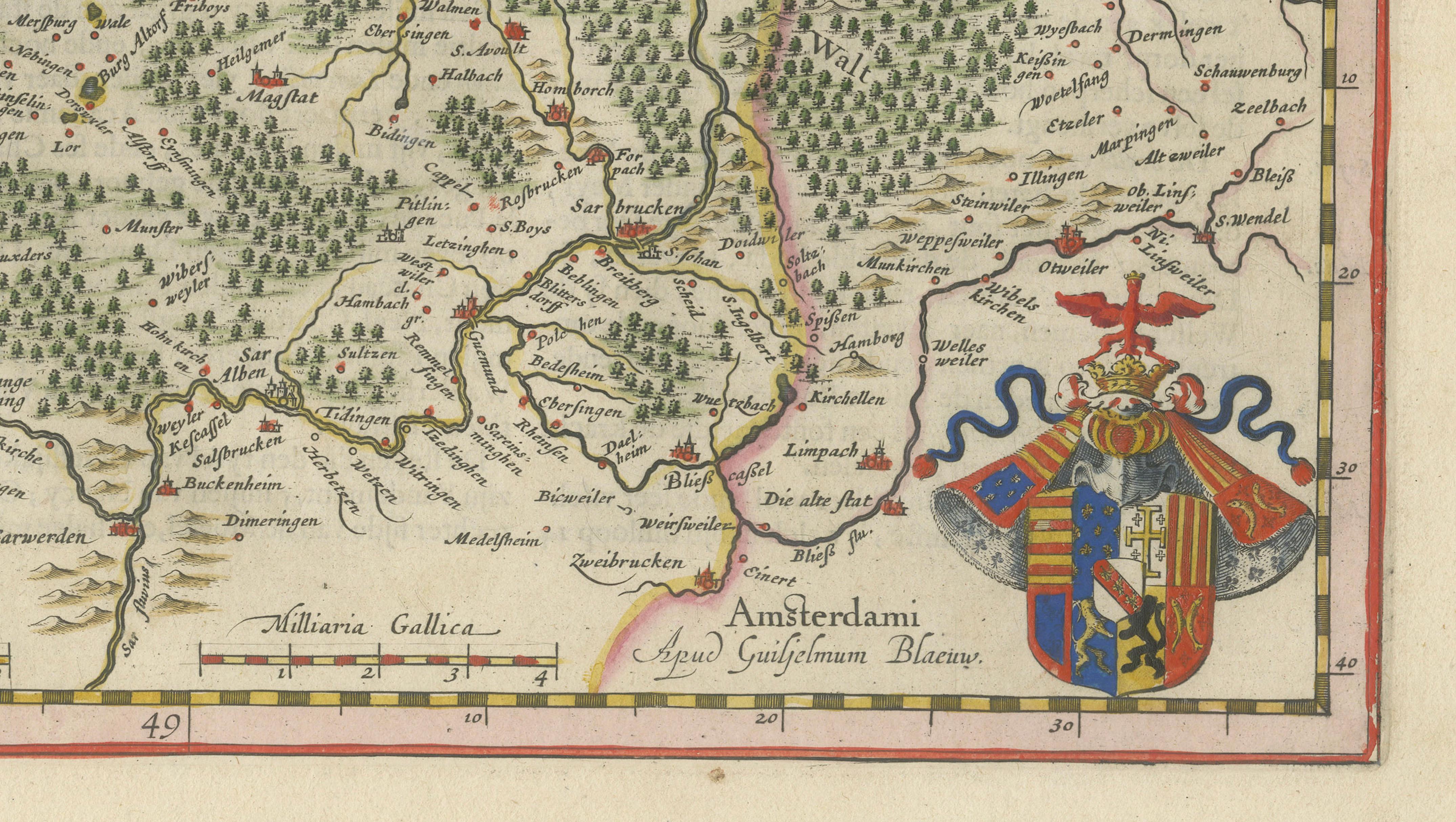
Unlike many later maps crowded with decorative embellishments, Blaeu chose a restrained and sophisticated design. A broad title banner stretches across the upper border, giving the sheet a balanced architectural appearance. The lower right corner contains the armorial device of Lorraine, serving as an elegant visual counterpoint to the map's dense geographical information. The result is a map that combines scientific clarity with refined artistic taste.
Lorraine occupied a strategically important position between France and the German-speaking lands of Central Europe. Throughout the seventeenth century it was frequently contested and played a significant role in the political struggles that shaped modern Europe. Maps such as this were valued not only by merchants and travelers but also by diplomats, military planners, and educated collectors eager to understand the shifting political geography of the continent.
Willem Blaeu (1571–1638) was among the most influential mapmakers in history. His atlases set new standards for accuracy, engraving quality, and visual elegance. Original Blaeu maps remain highly sought after today for their historical importance, decorative appeal, and association with one of the greatest publishing houses of the seventeenth century.
Condition Report:
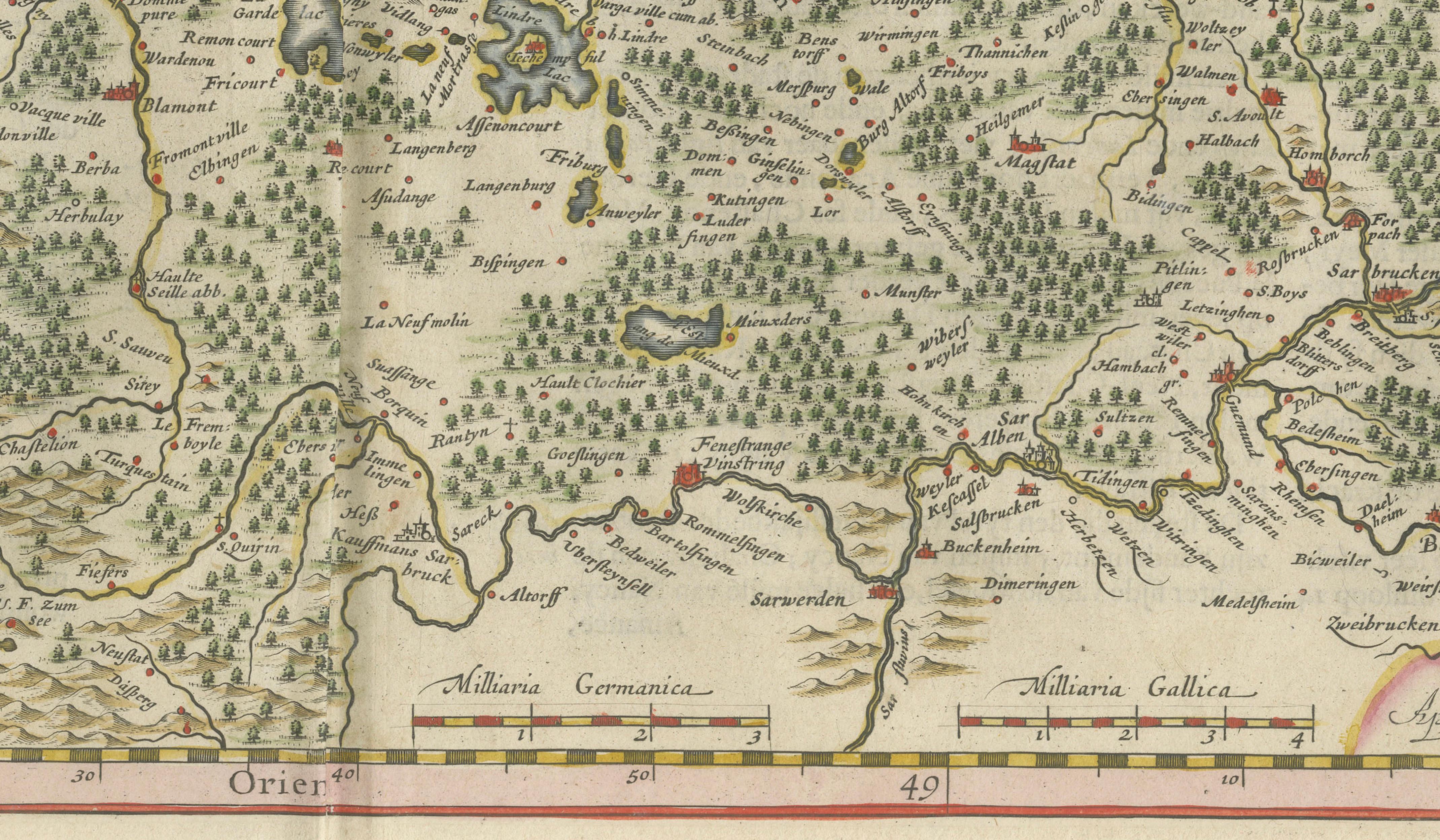
Good to very good condition for its age. Original centerfold as issued. Light age toning and scattered foxing visible, mainly in the margins. Colors remain attractive. Please study the photographs carefully for full condition details.
Framing Tips:
This map displays beautifully in a dark walnut, black lacquered, or antique gilt frame with a warm ivory museum mat. The subtle hand coloring and dense engraving work particularly well in traditional libraries, French country interiors, historic homes, and sophisticated contemporary settings. UV-protective museum glass is recommended for long-term preservation.
Technique: Copperplate engraving with original hand coloring
Maker: Willem Blaeu, Amsterdam, circa 1640
Special note: This is an original 17th-century map, not a reproduction. All items we offer are authentic period works of art over 100 years old. The map is sold unframed; any framed images are shown for presentation and interior inspiration only and may not always be on scale with the original.