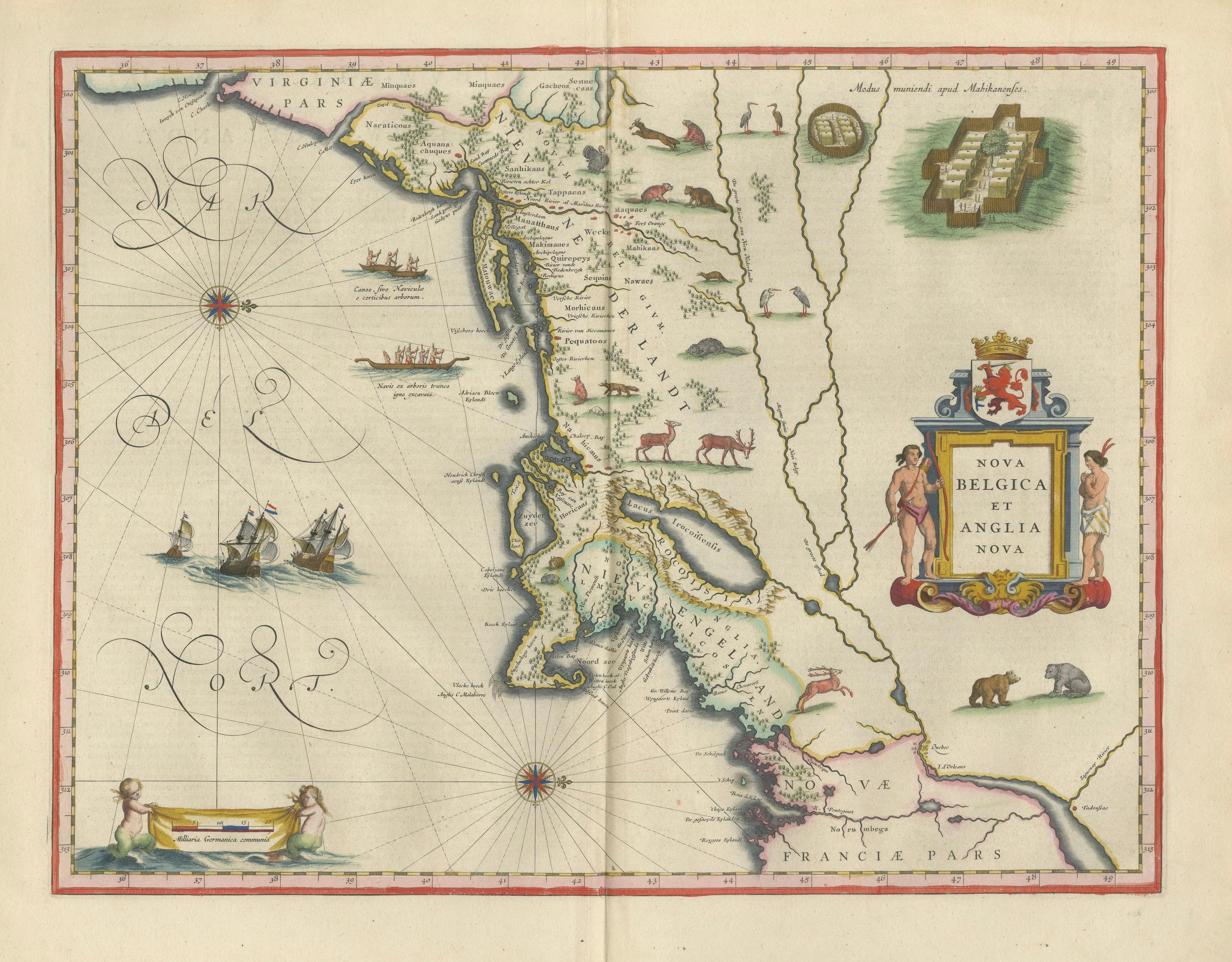
Antique New England Map Blaeu c.1642 – Nova Belgica & Anglia, Ships
€ 7 850
Original antique · The actual sheet photographed · Certificate of authenticity on request · Sold unframed · Worldwide shipping from € 15 (rates)
Date
1642
Sheet size
50 × 59 cm (19.7 × 23.2 in)
Condition
Good
Reference
HP-081
What the condition grades mean
Excellent
Bright and clean, with no faults worth mentioning.
Very good
Only light signs of age, such as faint toning.
Good
Normal signs of age for a sheet of this period: toning, some foxing, small marks or neat old repairs.
Fair
Clear faults such as staining, tears or repairs, priced to match.
Every fault we see is written in the condition note, and the whole sheet is shown uncropped in the photos.
Condition
Good condition with age-related toning. Original center fold as issued. Some light discoloration and minor wear at the edges, consistent with age. Paper remains strong and stable. A well-preserved and attractive impression.
About this sheet
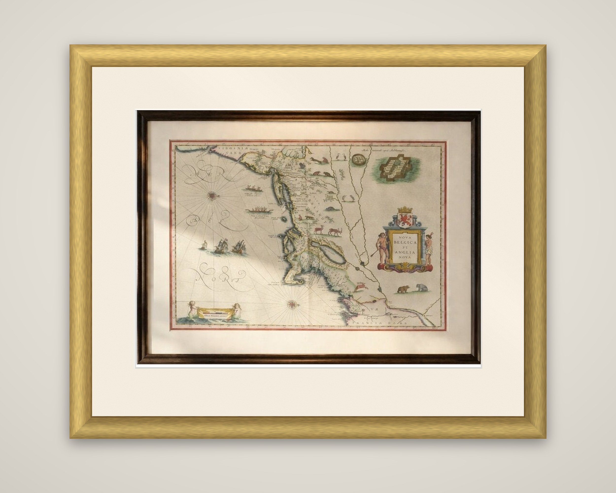
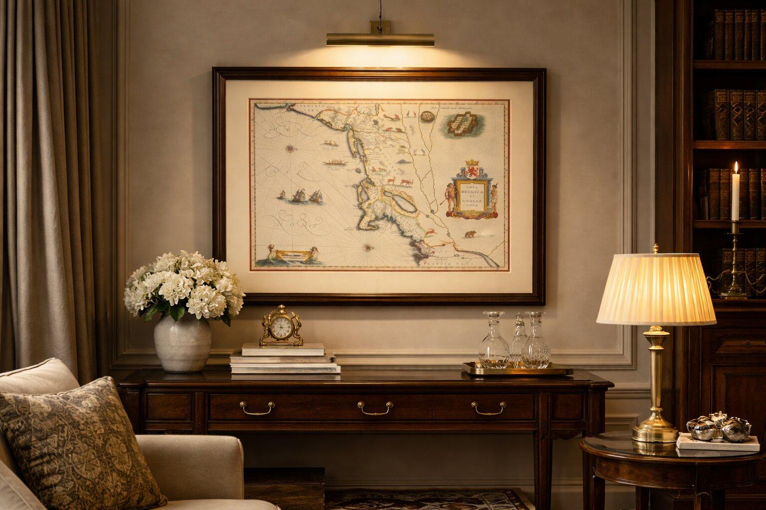
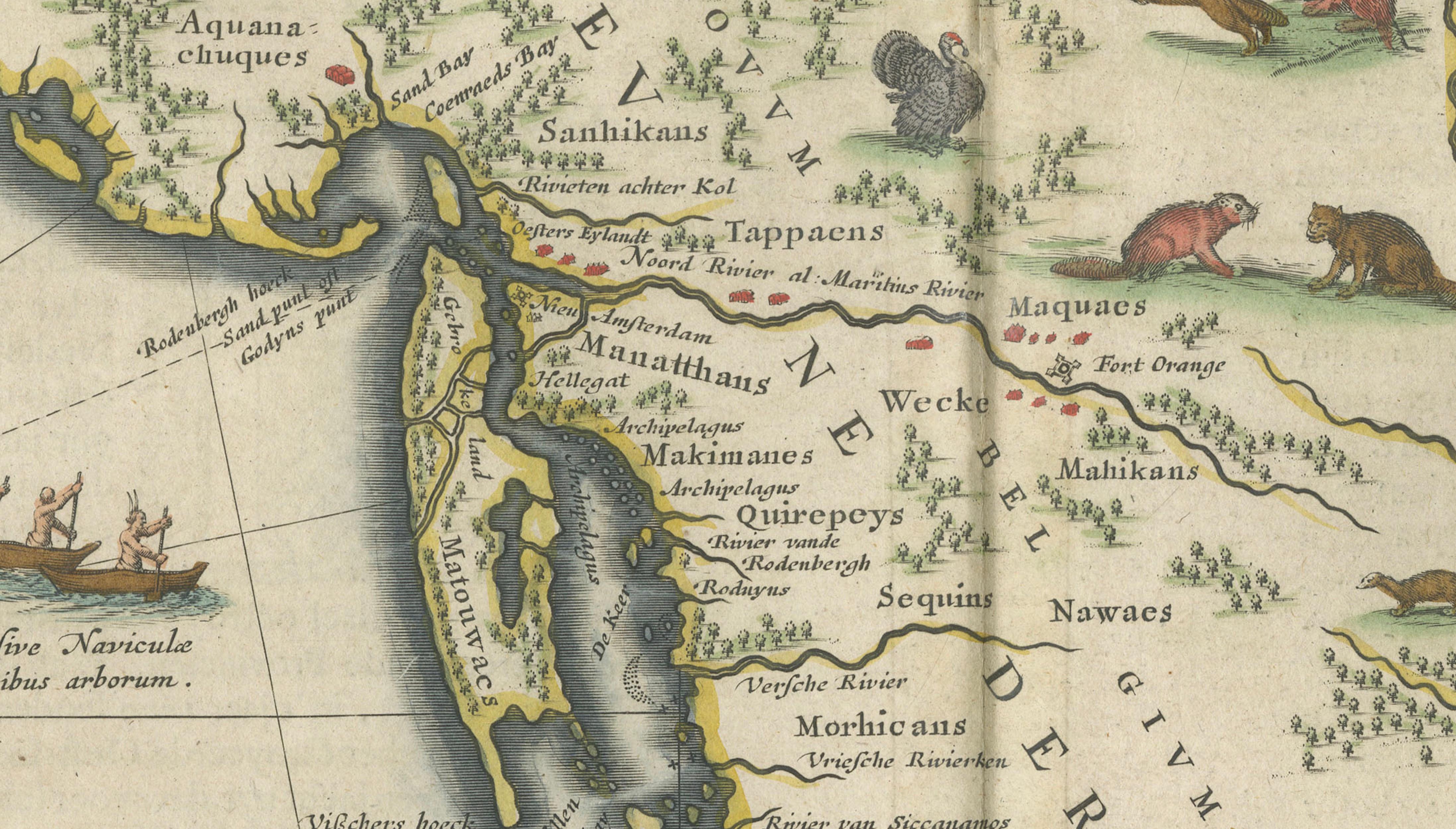
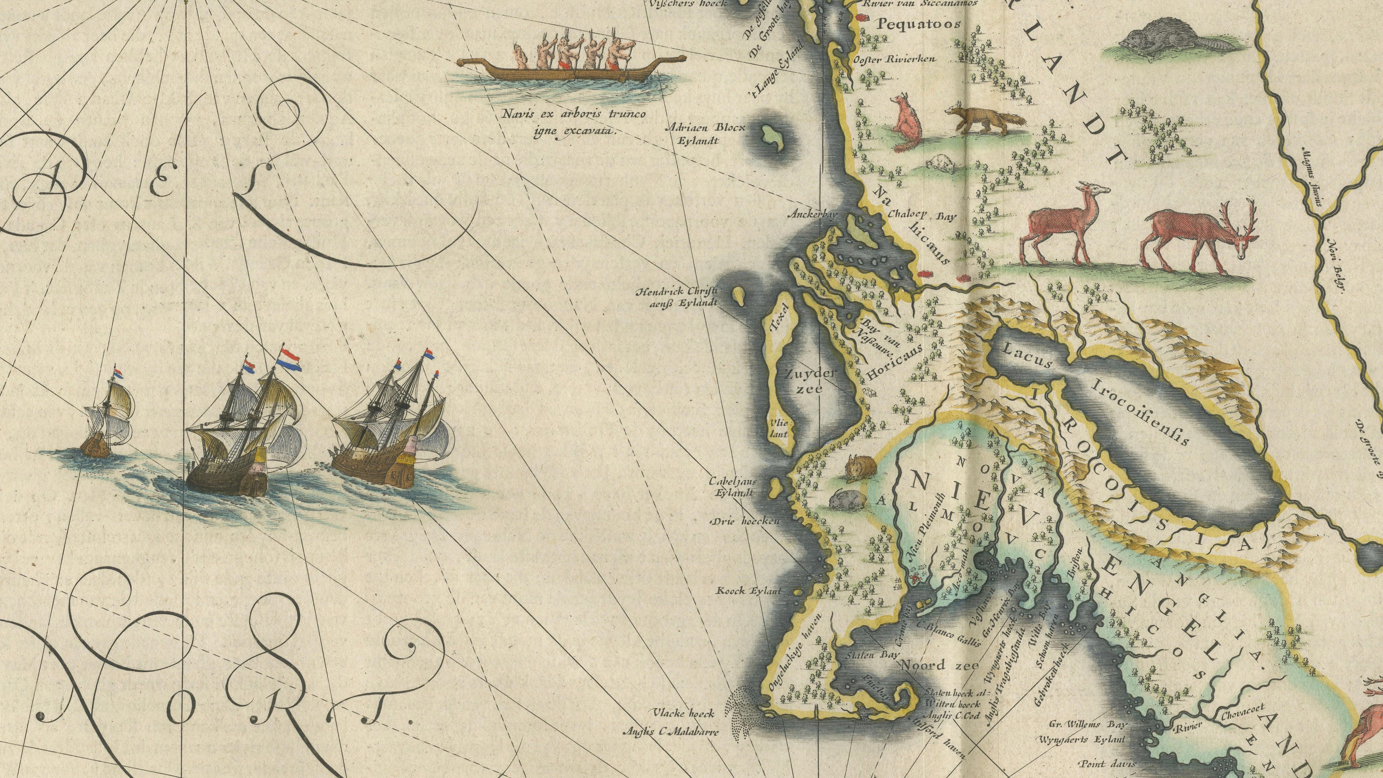
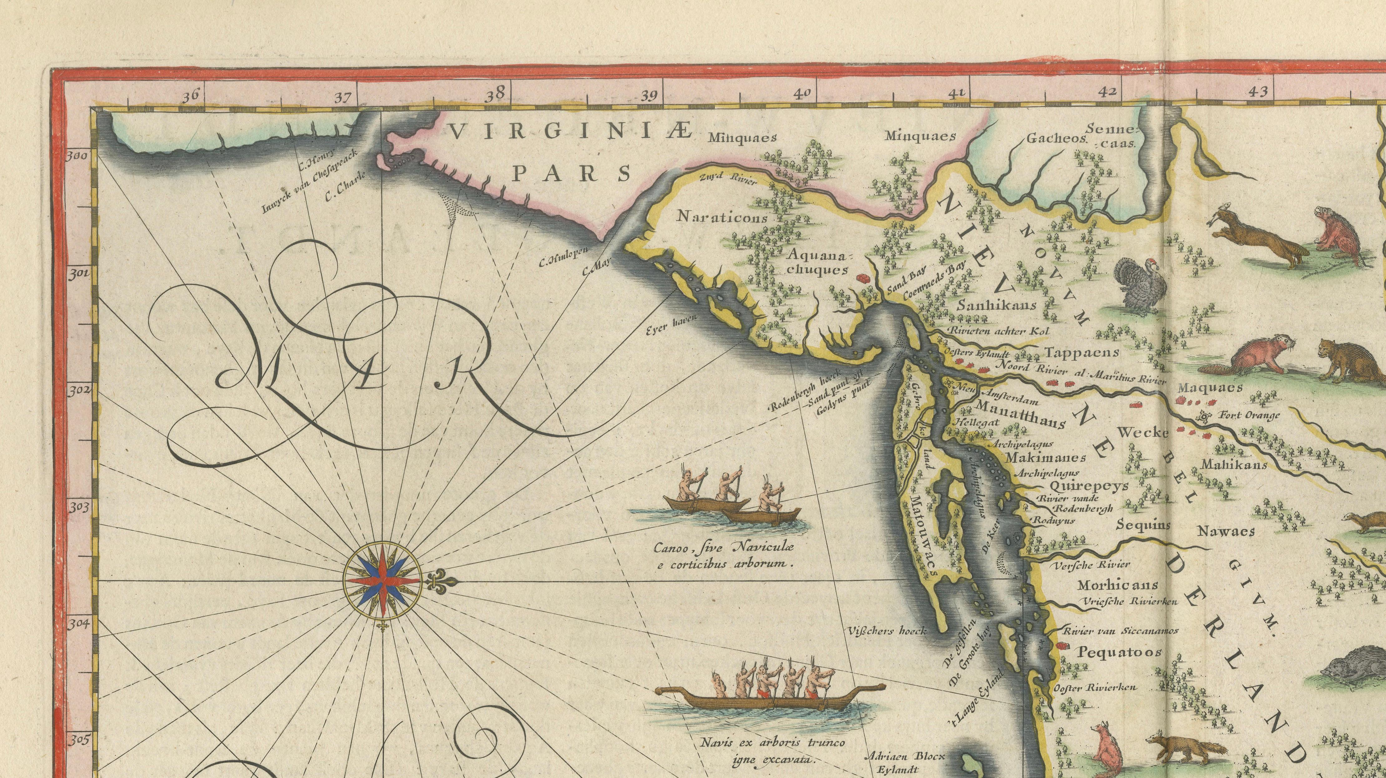
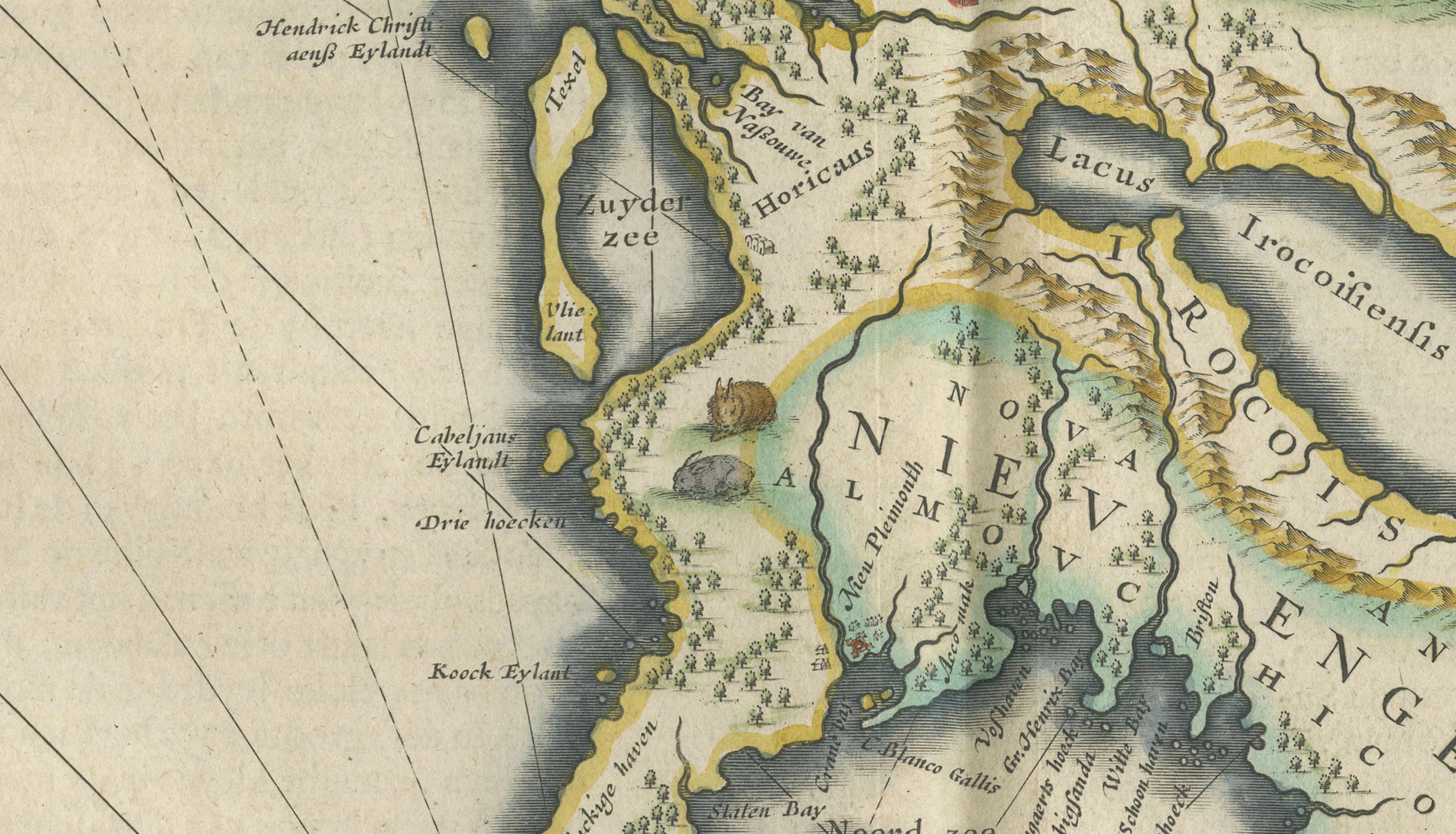
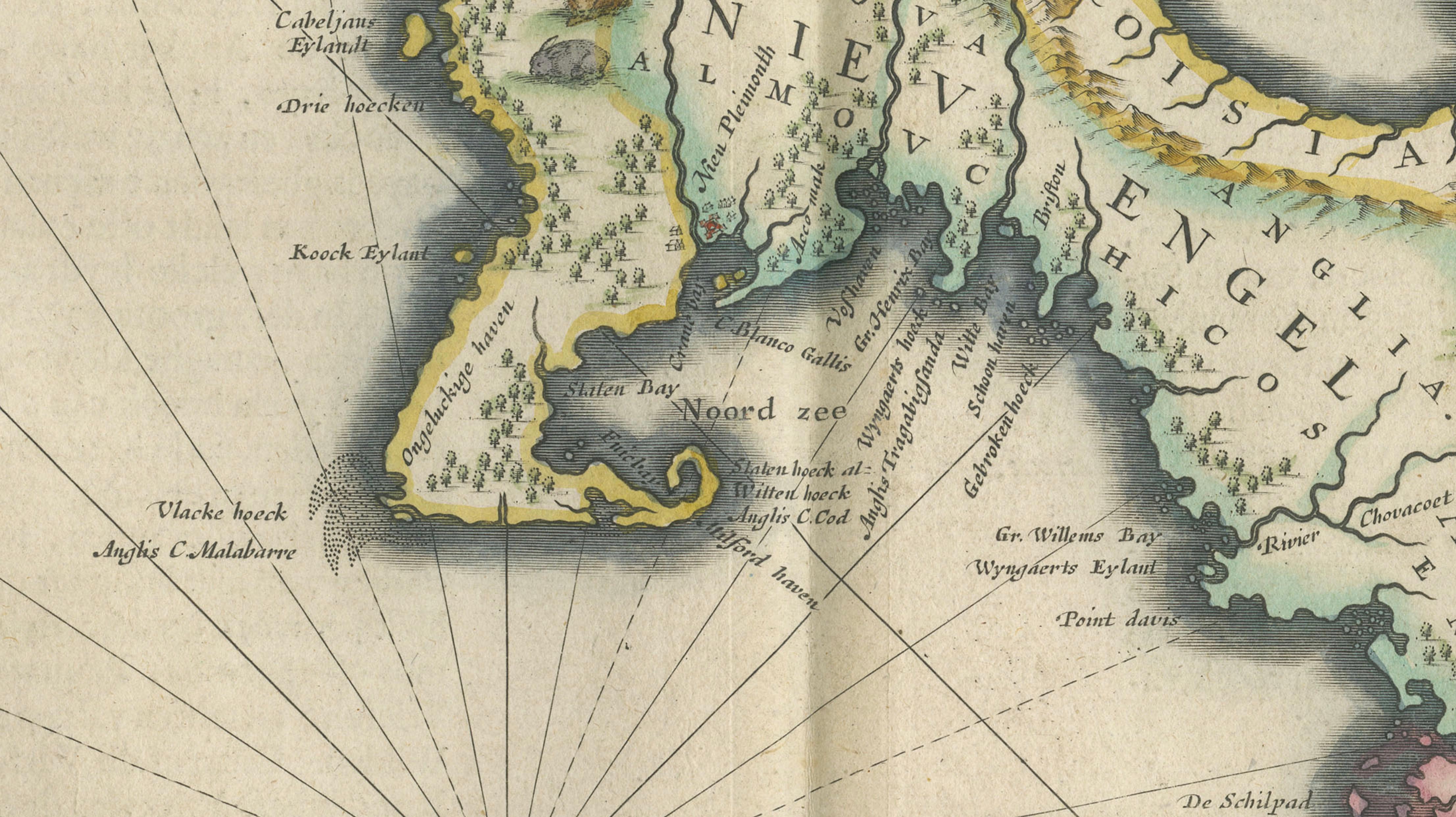
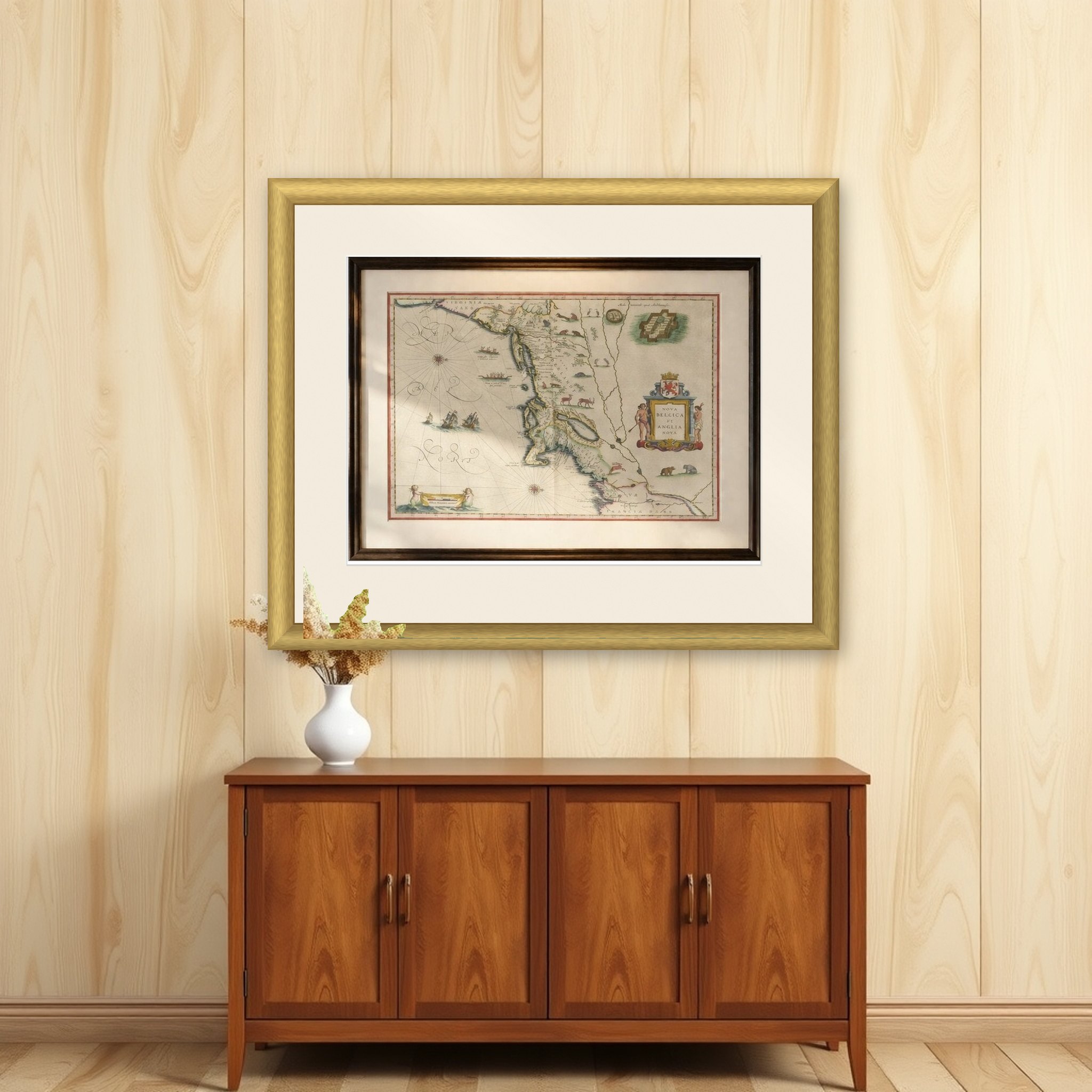
A map of the northeastern coast of North America from Cape Cod to Chesapeake Bay, titled "Nova Belgica et Anglia Nova", engraved by Willem Blaeu and first issued in 1635. It is an original copper engraving with later hand color, shown here in a c.1642 impression from Blaeu's atlases. The map derives from the 1614 manuscript of the Dutch explorer Adriaen Block, and it is among the earliest printed maps to name "Nieu Amsterdam" and to show Manhattan as an island.
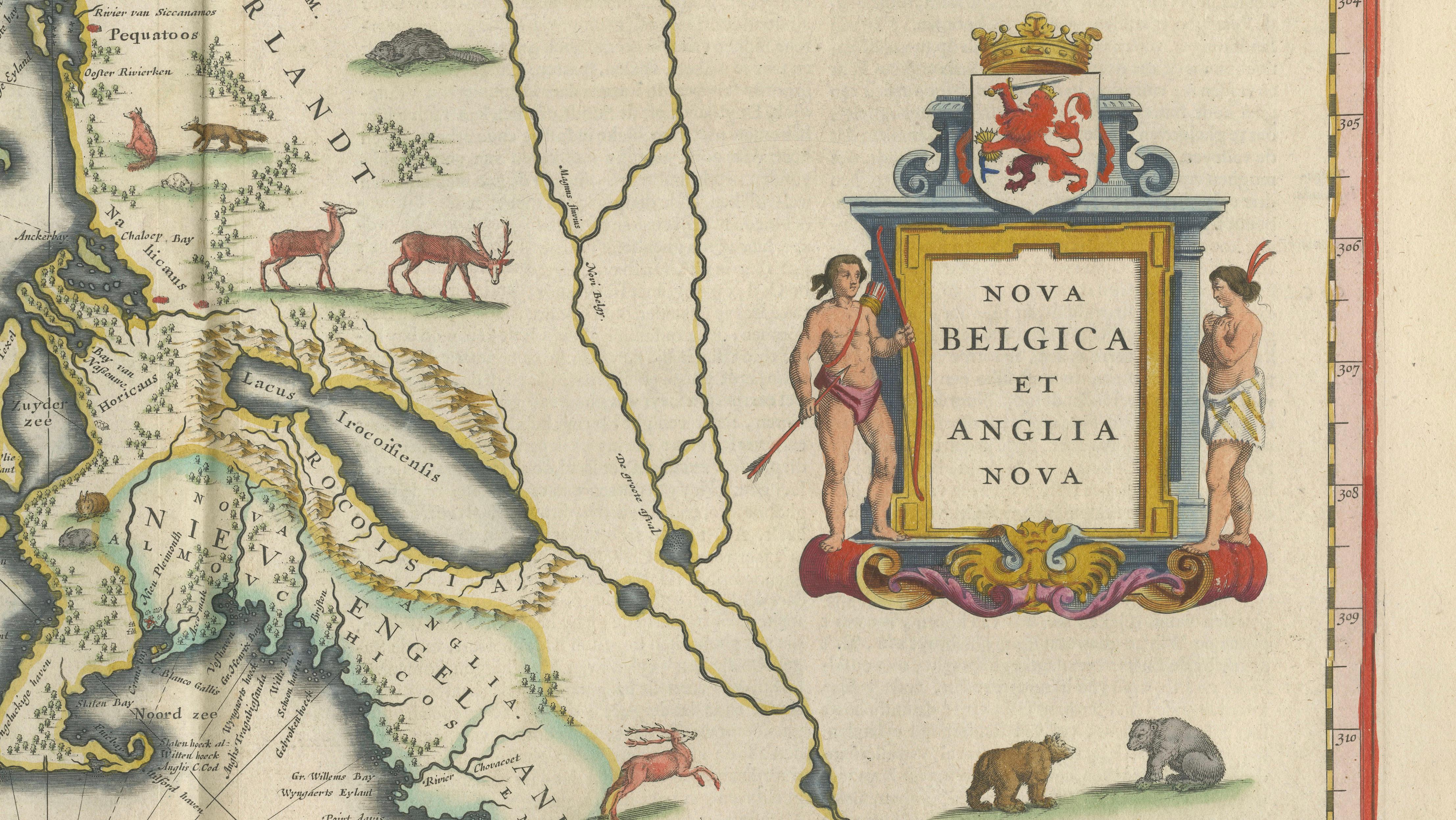
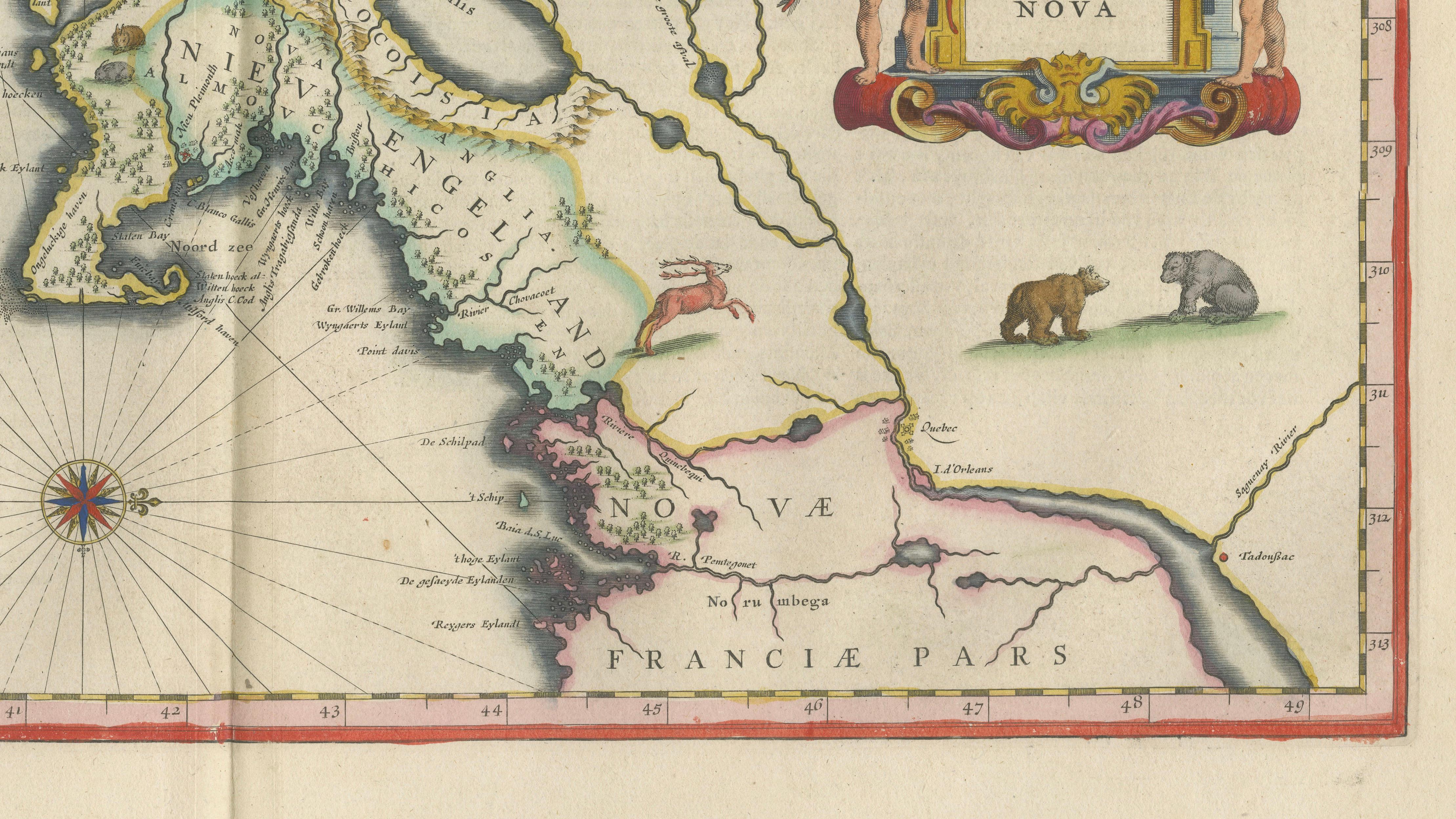
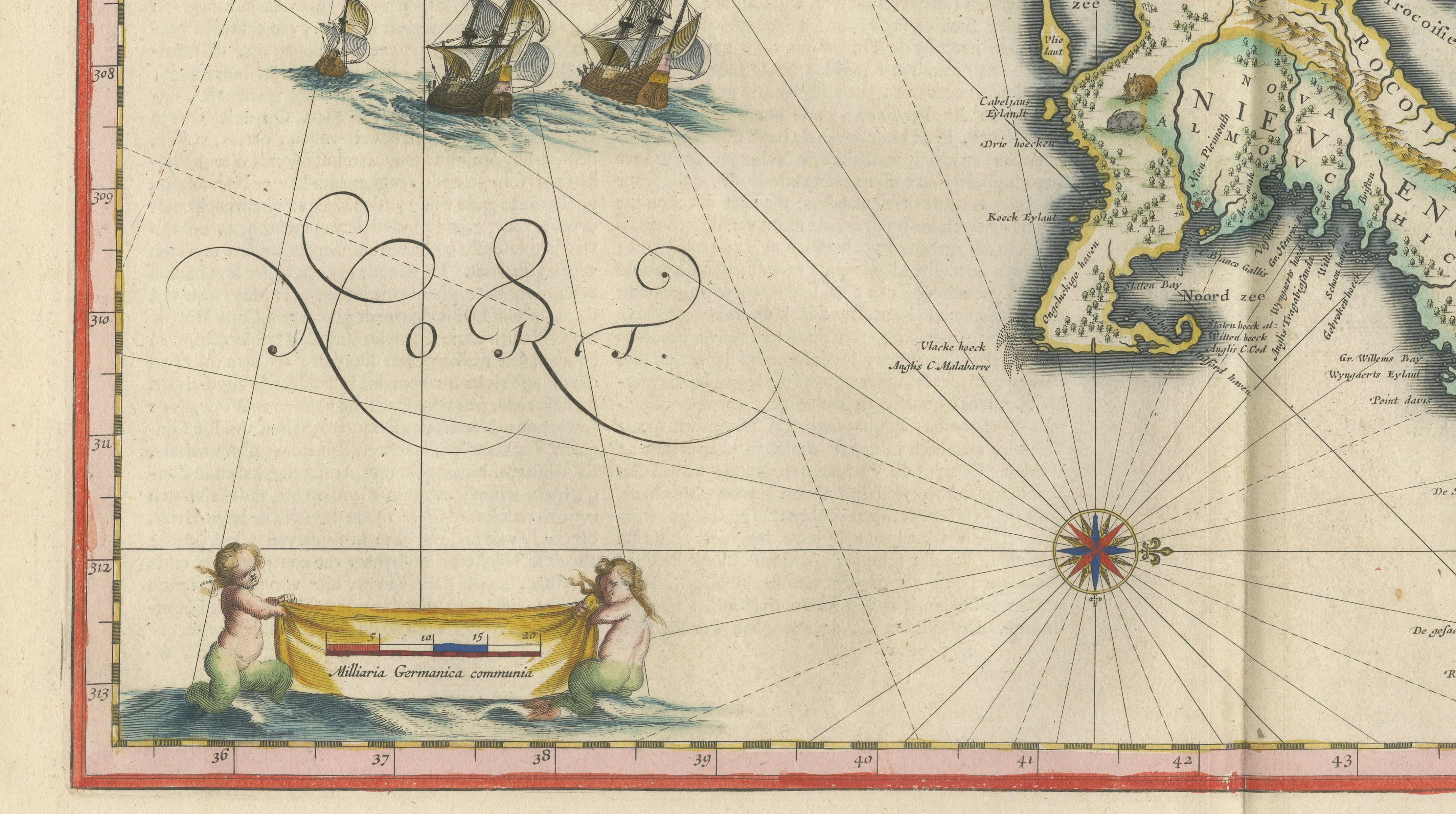
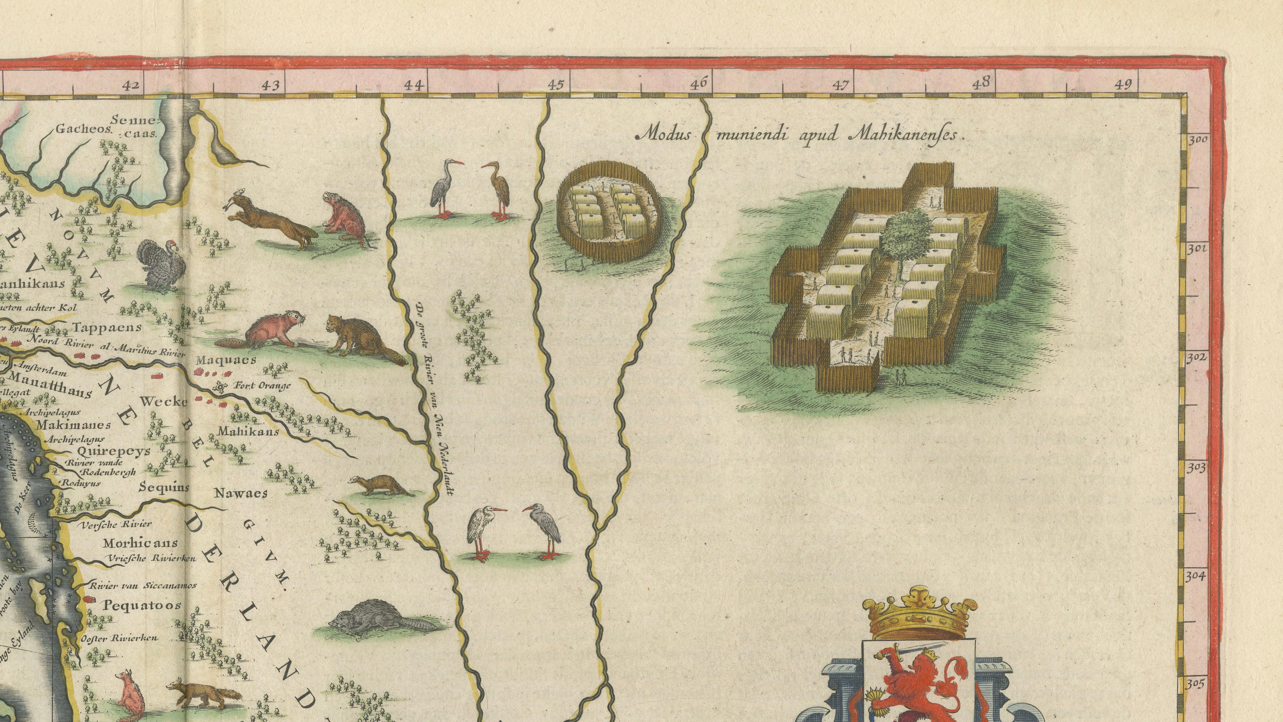
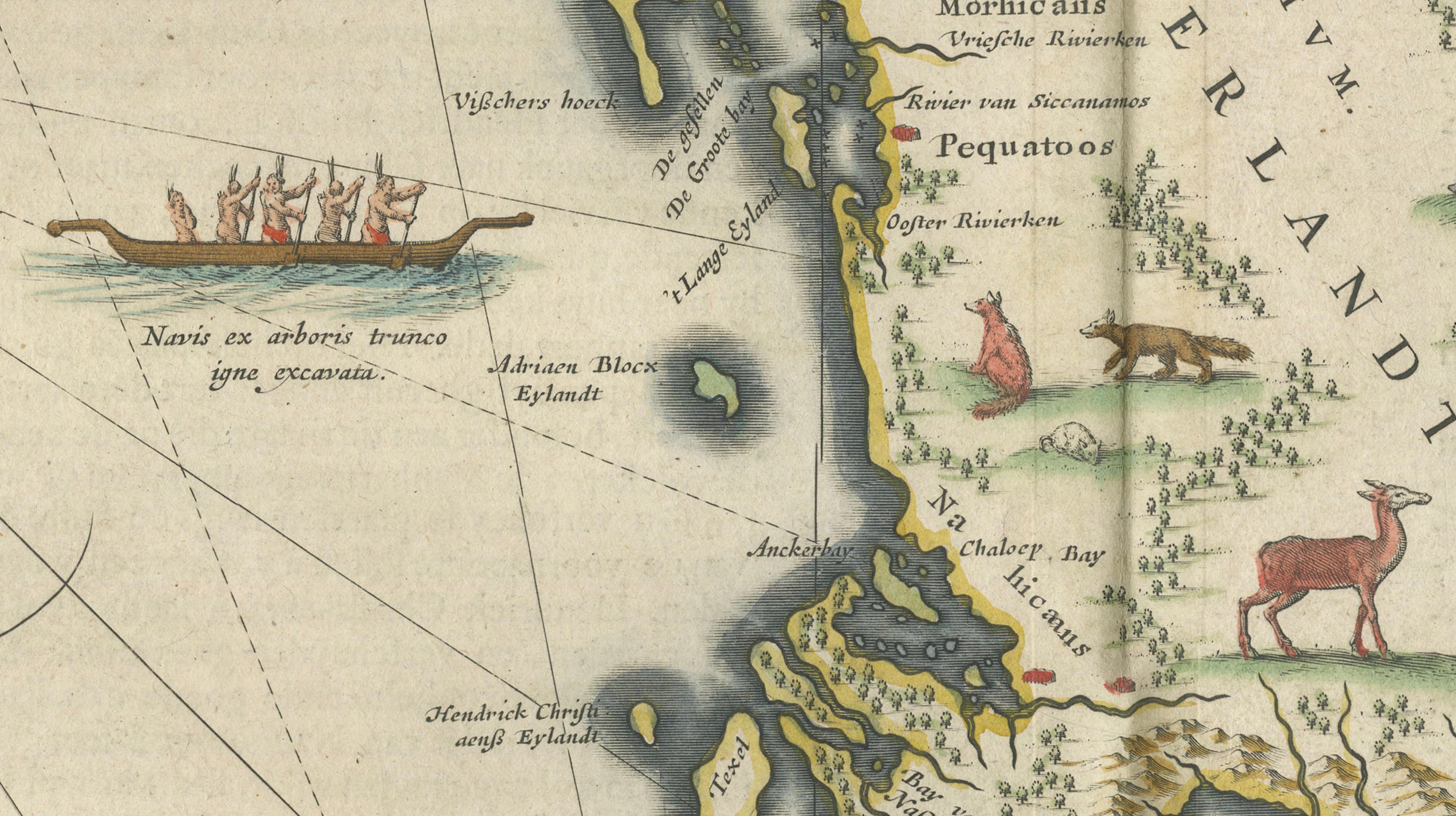
The coast of present-day New England and New York is drawn with its bays, rivers and islands, among them Long Island and the Hudson, and the interior is marked with lakes, streams and native villages. Beaver, otter, deer and other animals, a bear at the lower right and canoes on the water record the fur trade that drew the Dutch here. At the right the title cartouche carries the arms of the province with two standing native figures as supporters, and a star-shaped fort is drawn in a small panel at the upper right. Sailing ships ride the Atlantic, two compass roses are set in the sea, and a scale cartouche supported by cherubs sits at the lower left.