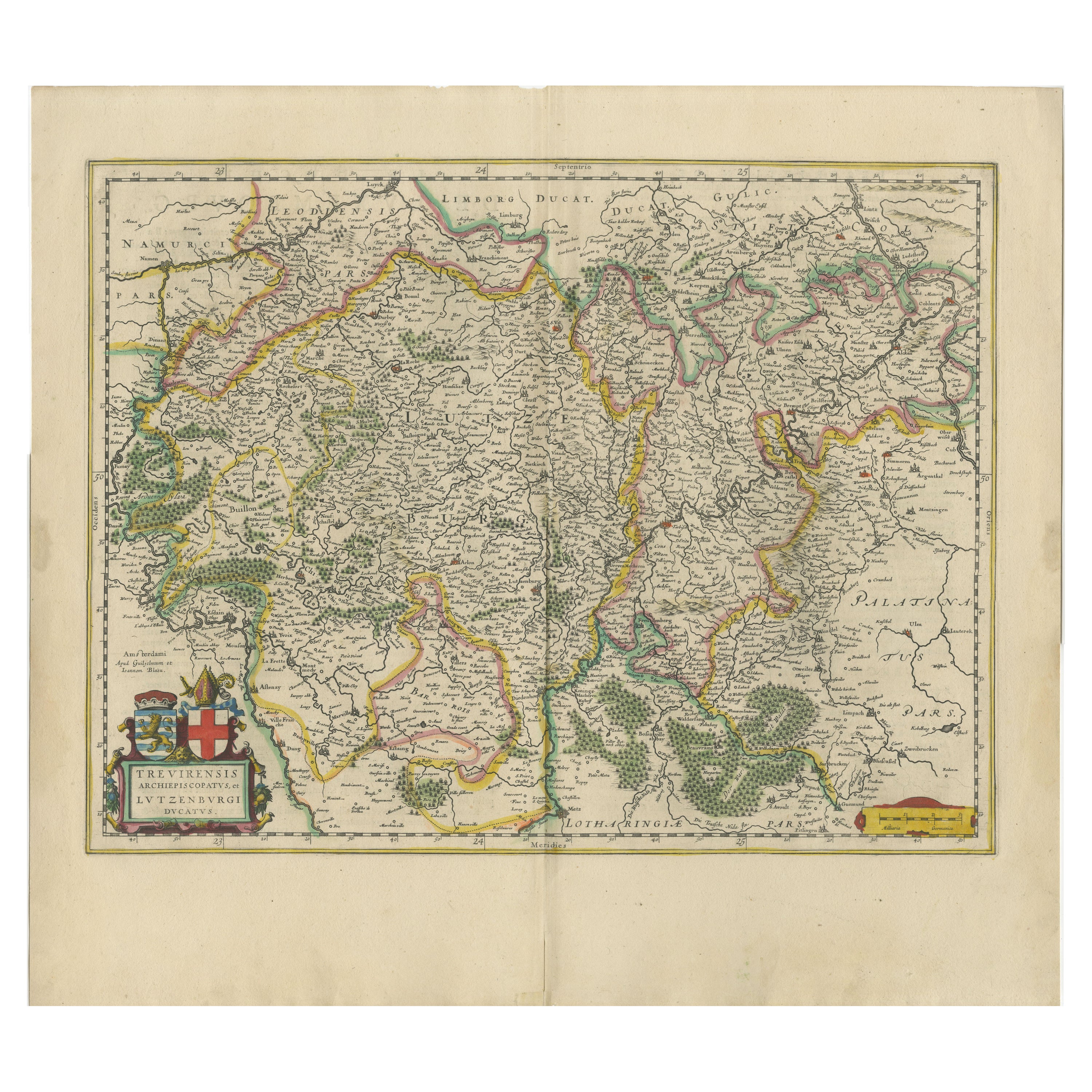
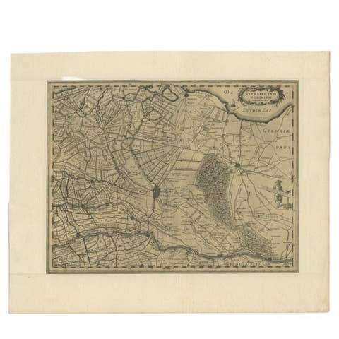
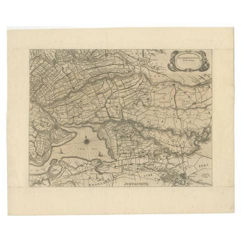
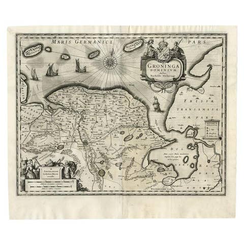
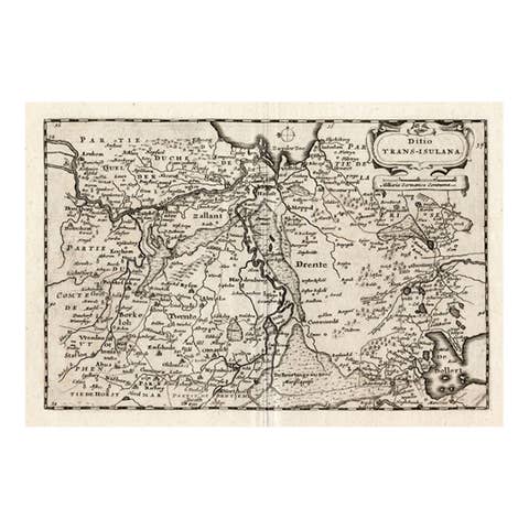
Original Antique Map of Trier and Luxembourg by Joan Blaeu, Amsterdam circa 1640
€ 1 200
One of a kind: this is the sheet in the photographs. Ships from Langweer, the Netherlands.
Date
1640
Sheet size
50.1 × 55.9 cm (19.7 × 22.0 in)
Condition
Good
Reference
BG-14092-2
Condition
Very good condition with original hand-coloring. Slight age toning and a faint central fold, as issued. No tears or repairs. Crisp plate impression and full margins. A clean and well-preserved example of 17th-century mapmaking.
About this sheet
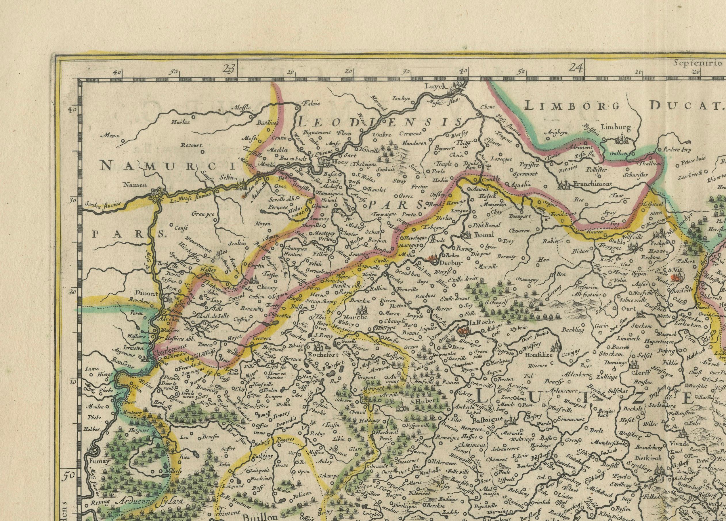
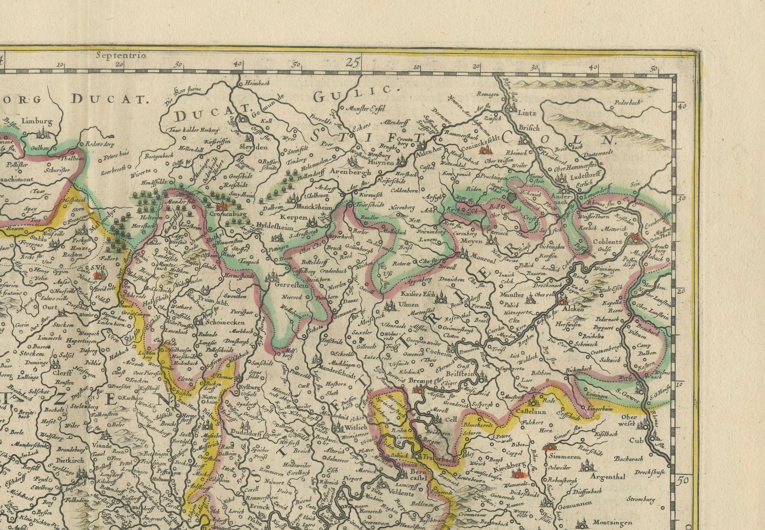
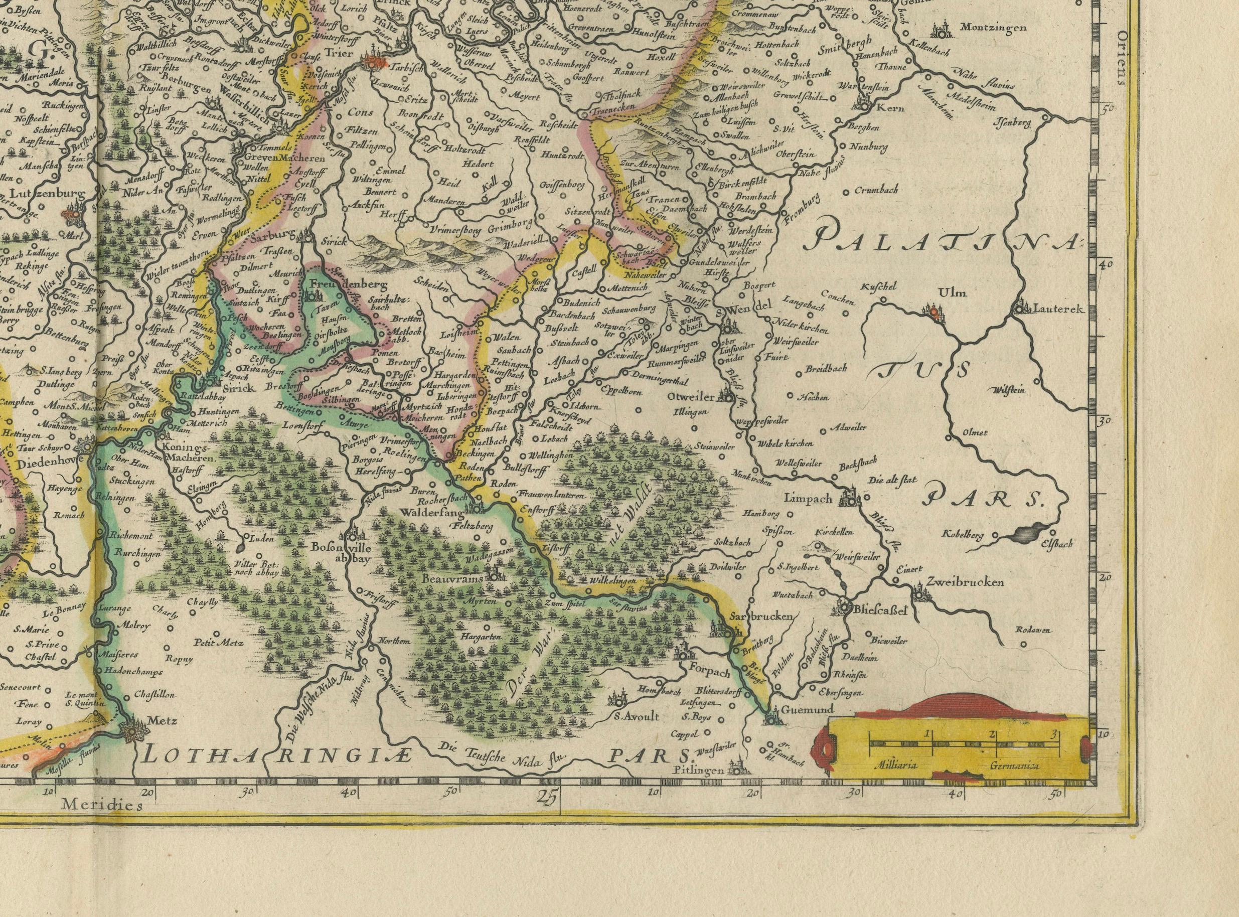
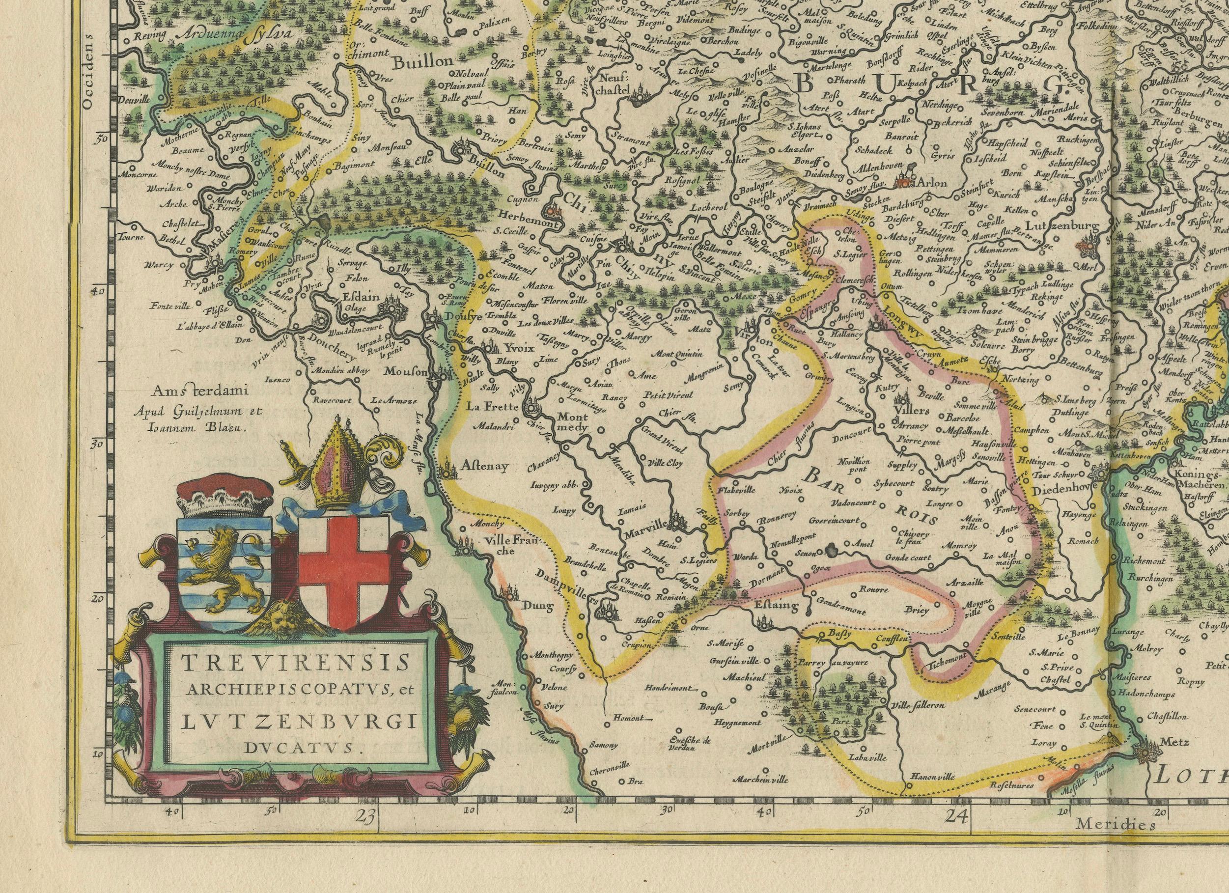
Map of Trier and Luxembourg by Joan Blaeu, Amsterdam circa 1640
This beautifully engraved and hand-colored map titled Trevirensis Archiepiscopatus, et Lutzenburgi Ducatus depicts the Archbishopric of Trier and the Duchy of Luxembourg, regions now part of western Germany and eastern Belgium. It was published around 1640 by Joan Blaeu in Amsterdam and is a fine example of mid-17th-century Dutch cartography at its peak.
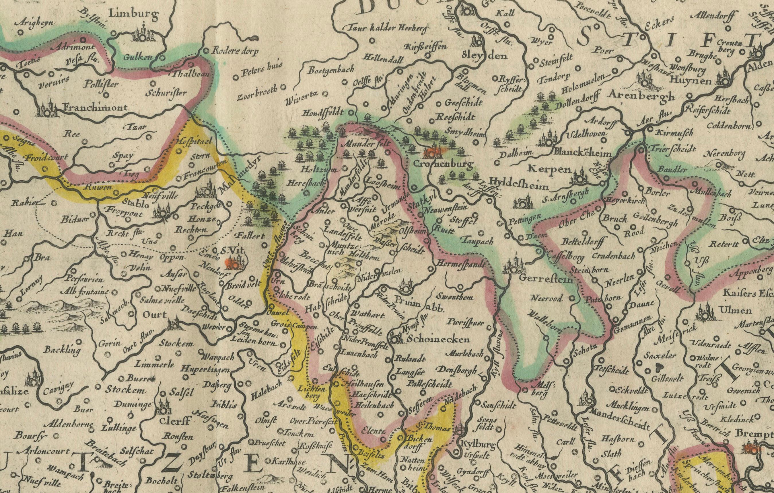
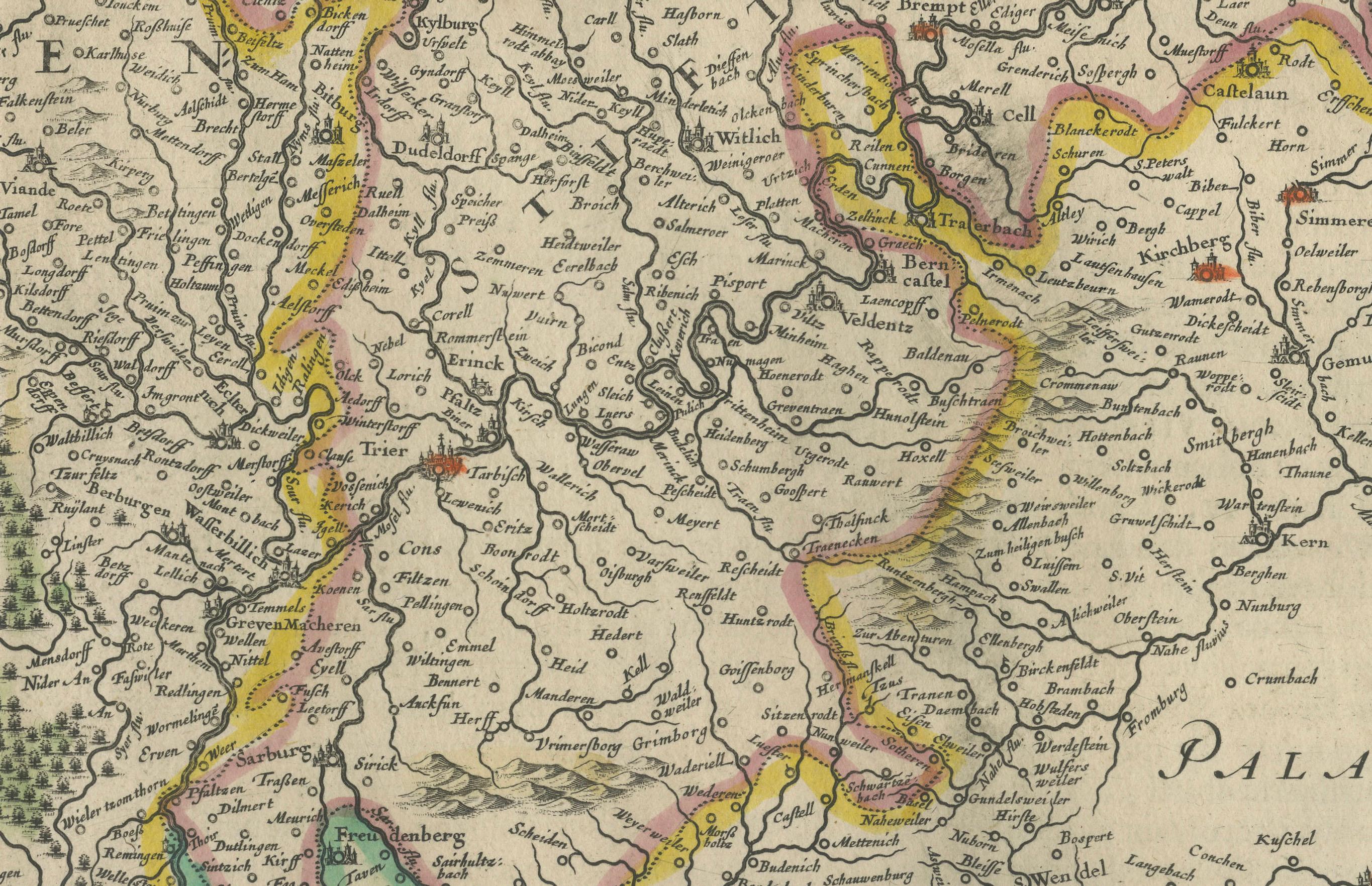
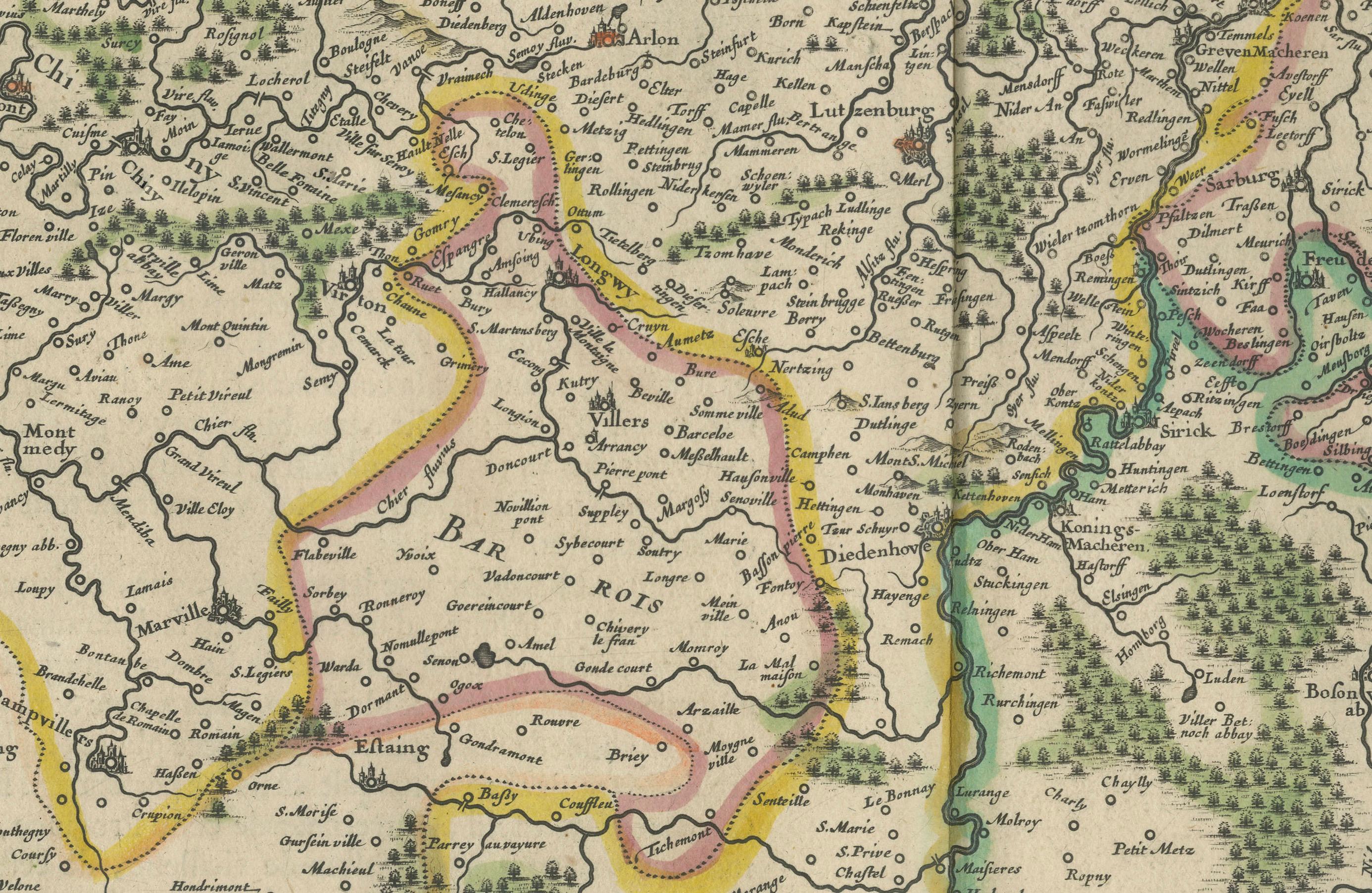
The map captures the heart of the Rhineland-Palatinate and surrounding areas, including parts of present-day Luxembourg, with exceptional clarity and topographical detail. Rivers, cities, mountain ranges, and forests are carefully illustrated, reflecting the advanced surveying techniques and artistic style of the Blaeu workshop. Towns such as Trier, Luxembourg, and Koblenz are clearly marked, with roads and borders delineated in elegant, hand-colored outlines.
A prominent decorative title cartouche in the lower left corner, flanked by coats of arms of Trier and Luxembourg, lends the map a ceremonial and heraldic quality. This map was included in various editions of the Atlas Novus and later Atlas Maior, Blaeu’s monumental multi-volume world atlas, widely considered one of the most beautiful cartographic works ever published.
Joan Blaeu (1596–1673), the son of Willem Janszoon Blaeu, was a master mapmaker who continued and expanded his family’s cartographic legacy. He was the official cartographer of the Dutch East India Company and produced some of the most accurate and artistically accomplished maps of the period. His maps are known for their precision, vibrant coloring, and aesthetic appeal, making them enduring favorites among collectors.
This map is an important historical document as well as a decorative work of art, suitable for framing and display in any collection of early European or ecclesiastical geography.
Condition summary: Very good condition with original hand-coloring. Slight age toning and a faint central fold, as issued. No tears or repairs. Crisp plate impression and full margins. A clean and well-preserved example of 17th-century mapmaking.
Framing tip: Frame in a dark oak or gold-leaf wooden frame with a pale ivory mat. Use UV-protective glass to preserve the delicate hand-coloring. Ideal for traditional or academic interiors with historical or classical décor themes.