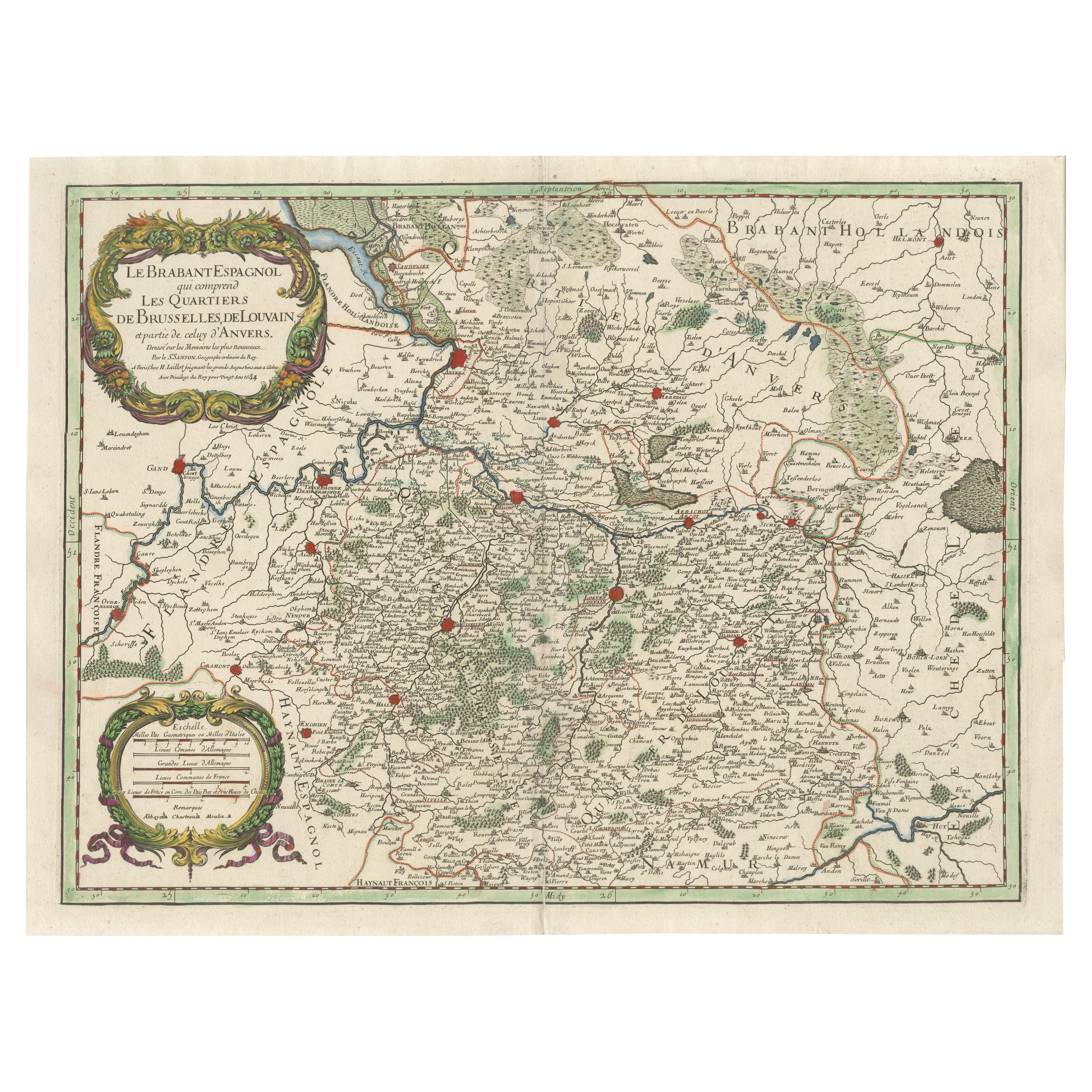
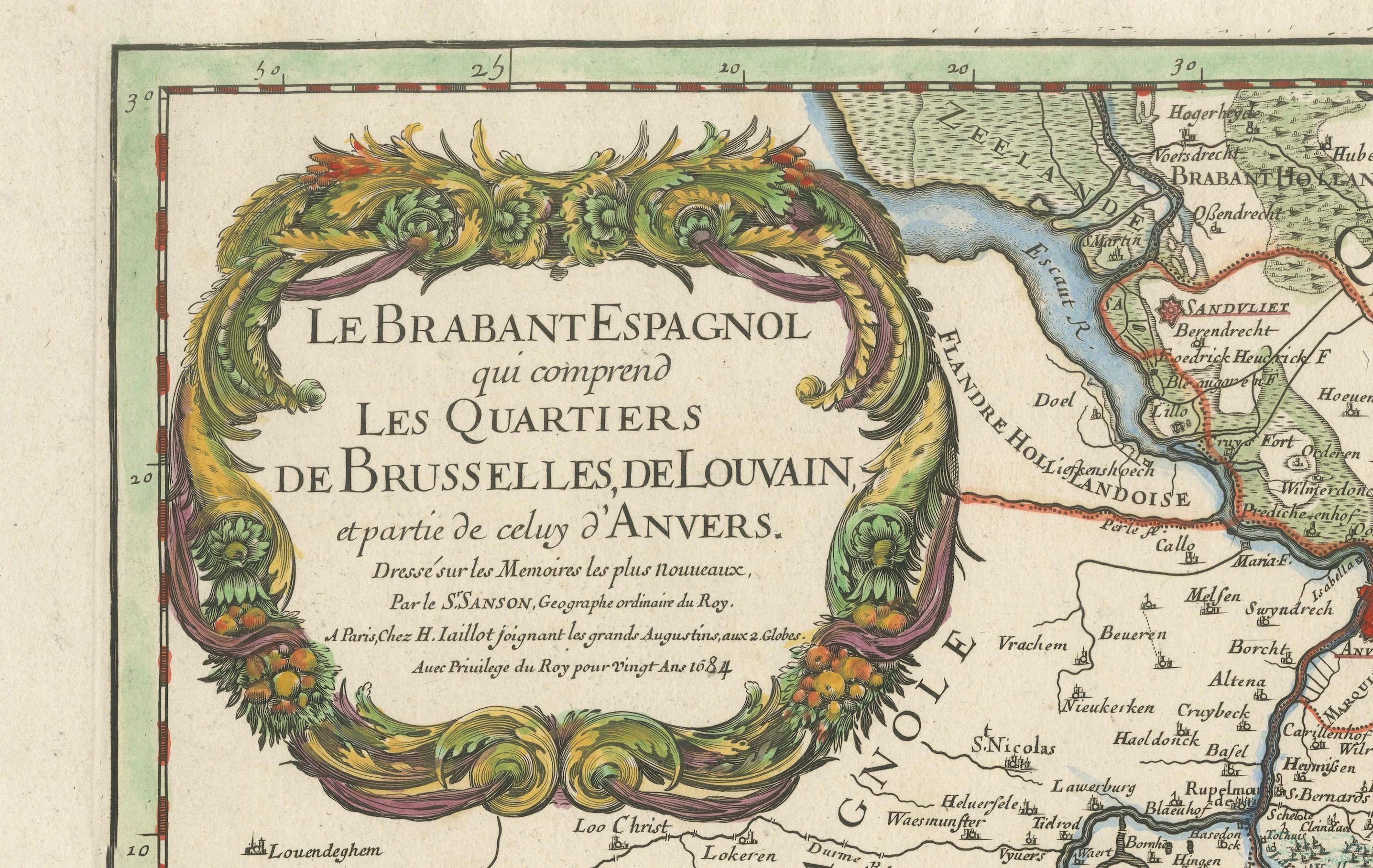
Original Spanish Brabant map with Brussels, Louvain and Antwerp quarters, c.1684
€ 1 400
One of a kind: this is the sheet in the photographs. Ships from Langweer, the Netherlands.
Date
1684
Sheet size
47 × 62.5 cm (18.5 × 24.6 in)
Condition
Good
Reference
BG-14068-4
Condition
Very good condition with strong color and sharp detail. Minor age toning consistent with age. Wide margins preserved on all sides. No visible tears, creases, or repairs.
About this sheet
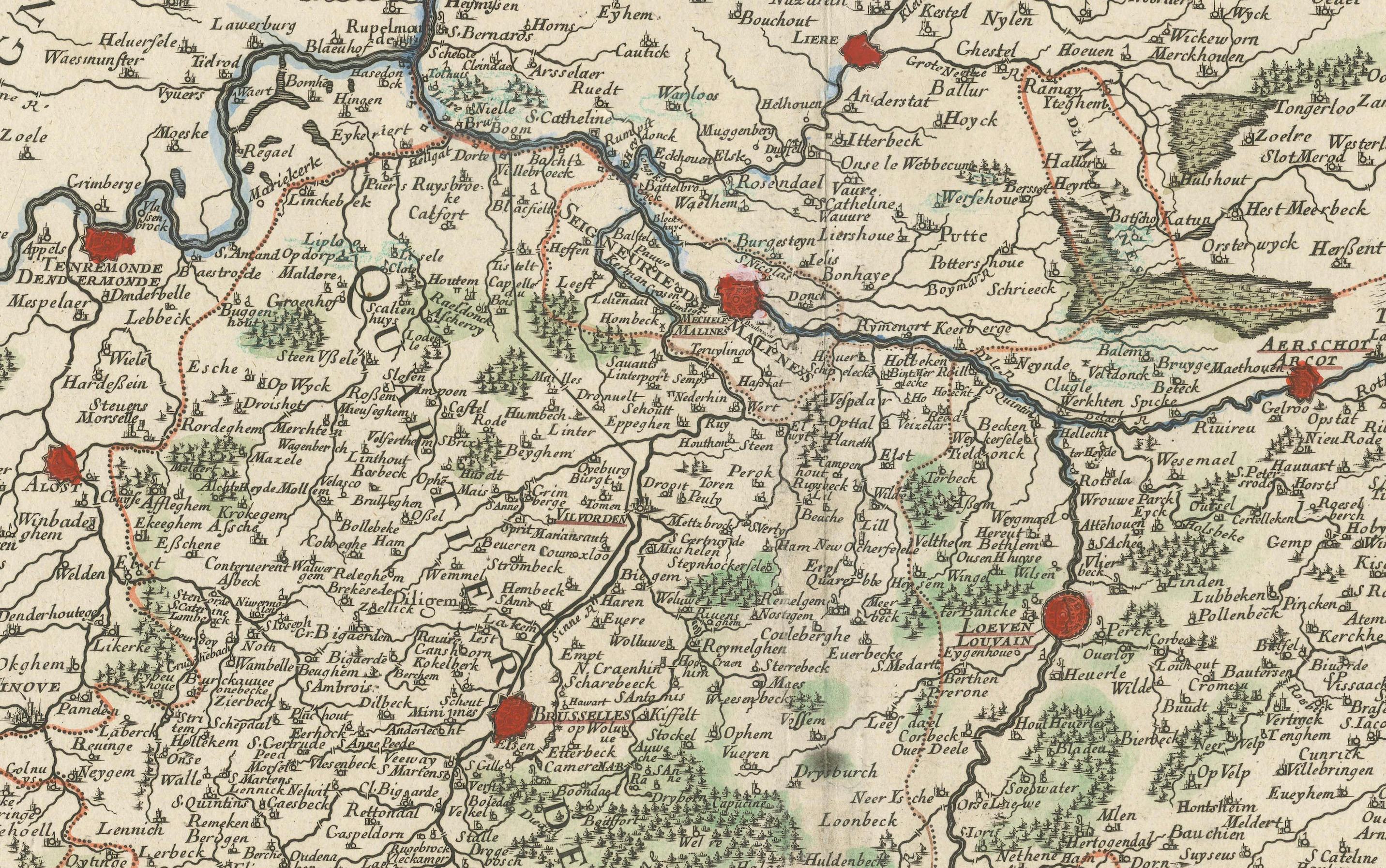
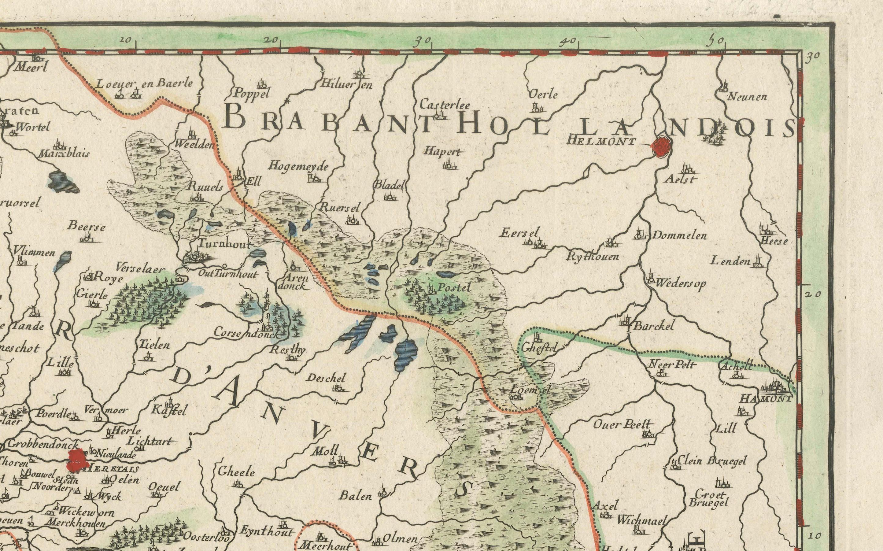
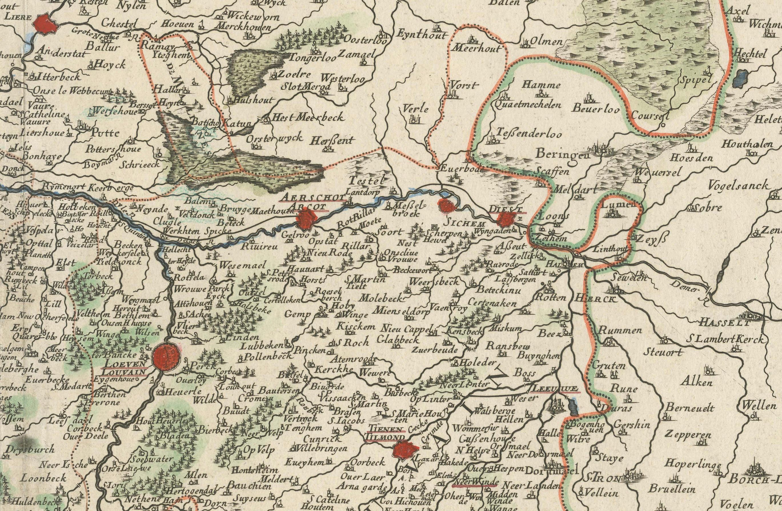
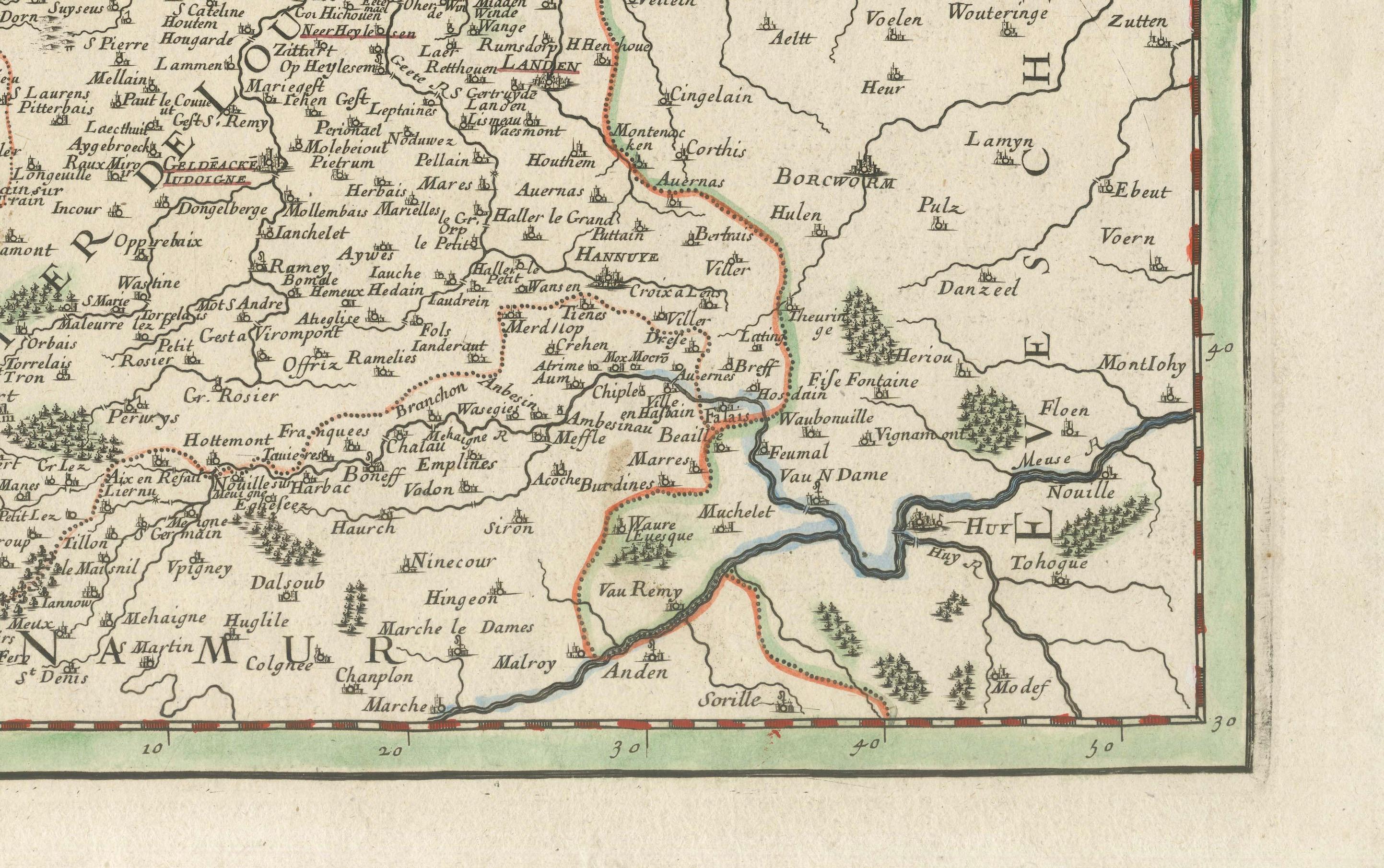
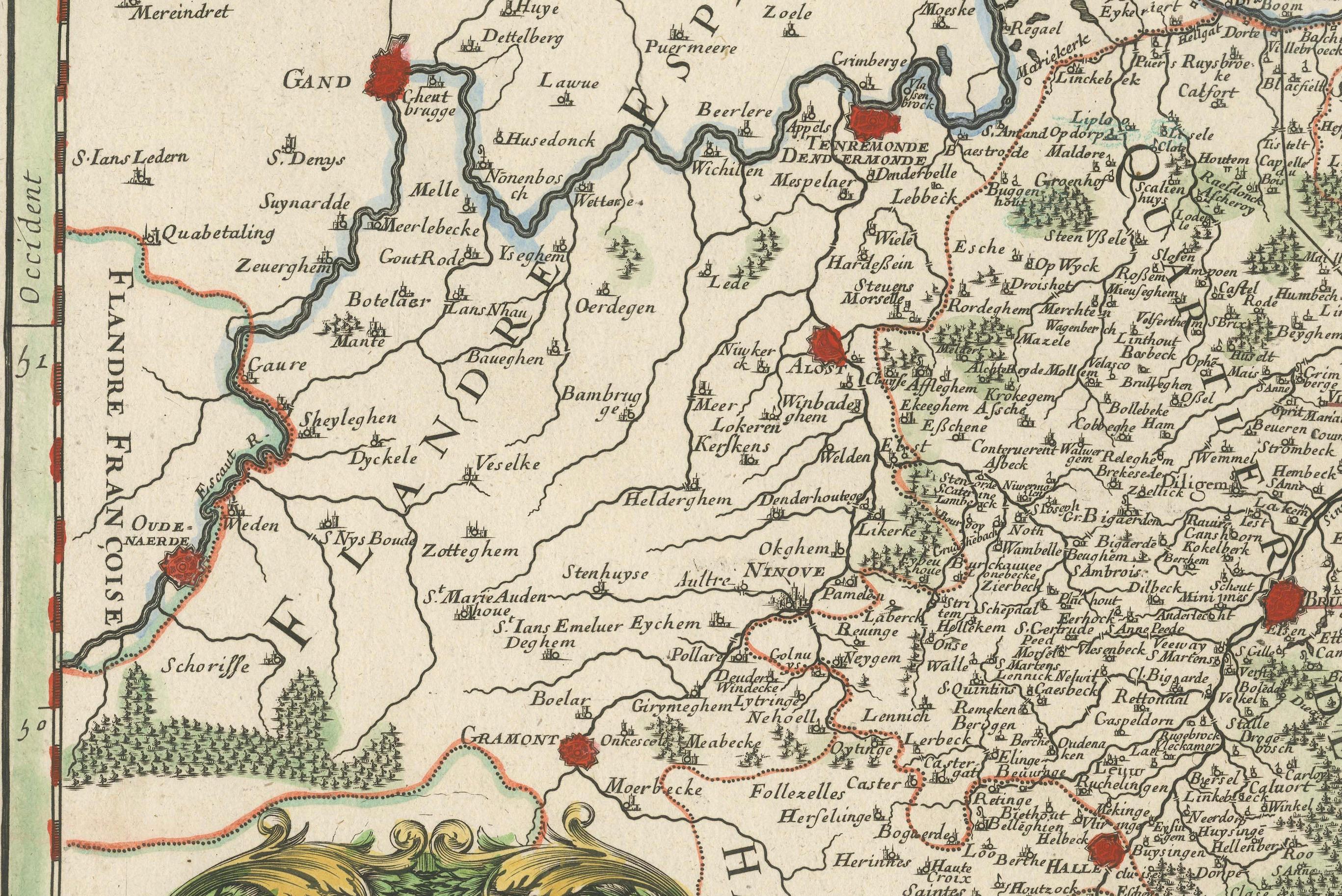
Spanish Brabant map with Brussels, Louvain, and Antwerp quarters, c.1690 This richly detailed antique map depicts the historical region of Spanish Brabant, focusing on the key quarters of Brussels, Louvain, and Antwerp. It stretches from the western towns of Ghent and Oudenaarde and follows the course of the Escaut (Scheldt) River eastward toward Antwerp and the borders of the Prince-Bishopric of Liège. The map is centered around the cities of Brussels and Louvain, with Antwerp prominently displayed to the north.
This edition, produced by Alexis-Hubert Jaillot around 1684, is based on earlier cartographic work by Nicolas Sanson, one of the most respected French geographers of the 17th century. Jaillot, known for his grand-format maps and elaborate decoration, has preserved Sanson's geographic accuracy while enhancing the visual presentation with hand-colored borders, artistic cartouches, and fine engraving.
What makes this map particularly interesting for collectors and historians is the view it offers into the Spanish Netherlands during a time of complex political control and territorial division. Cities are clearly marked in red, and forested regions and rivers are carefully rendered. The map is a valuable record of how borders, towns, and administrative regions were understood at the end of the 17th century, just before the Treaty of Utrecht reshaped much of this area.
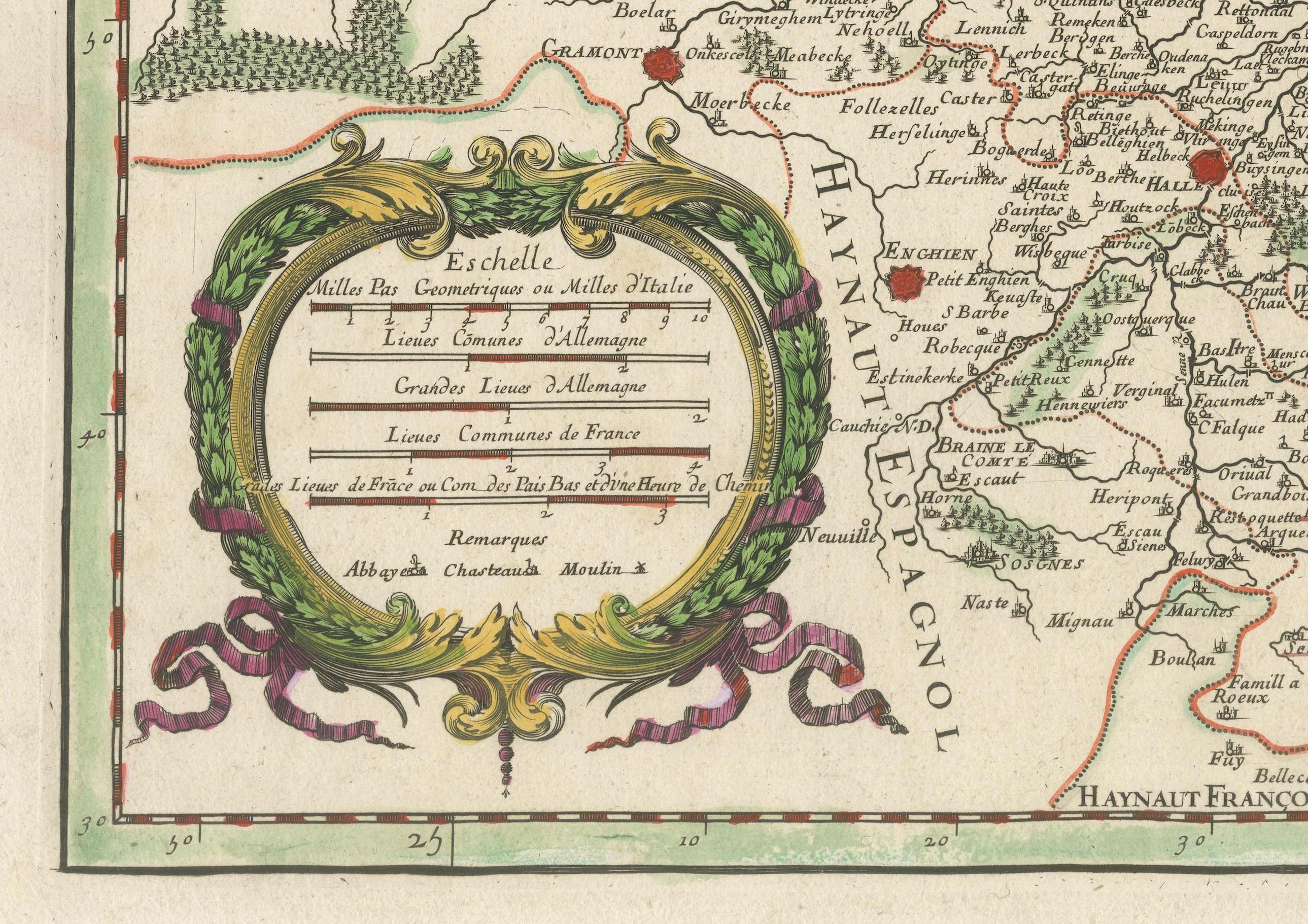
For buyers interested in the Low Countries, this map is a remarkable window into a pivotal historical era. It’s also a compelling decorative piece thanks to its well-balanced composition, ornate title cartouches, and vibrant hand-coloring. The inclusion of scale bars in multiple units and detailed town networks makes it useful for both research and display.
Condition: Very good condition with strong color and sharp detail. Minor age toning consistent with age. Wide margins preserved on all sides. No visible tears, creases, or repairs.
Framing tips: This map would be best presented in a classic wooden or gold-leaf frame, paired with an off-white or cream-colored acid-free mat to highlight the color accents. To preserve the delicate hand-coloring, UV-protective glass is recommended. Due to its rectangular horizontal orientation and detailed design, this map works well in a study, office, or hall where it can be viewed up close. Consider float mounting if you wish to showcase the map’s full plate line and paper texture.