About this sheet
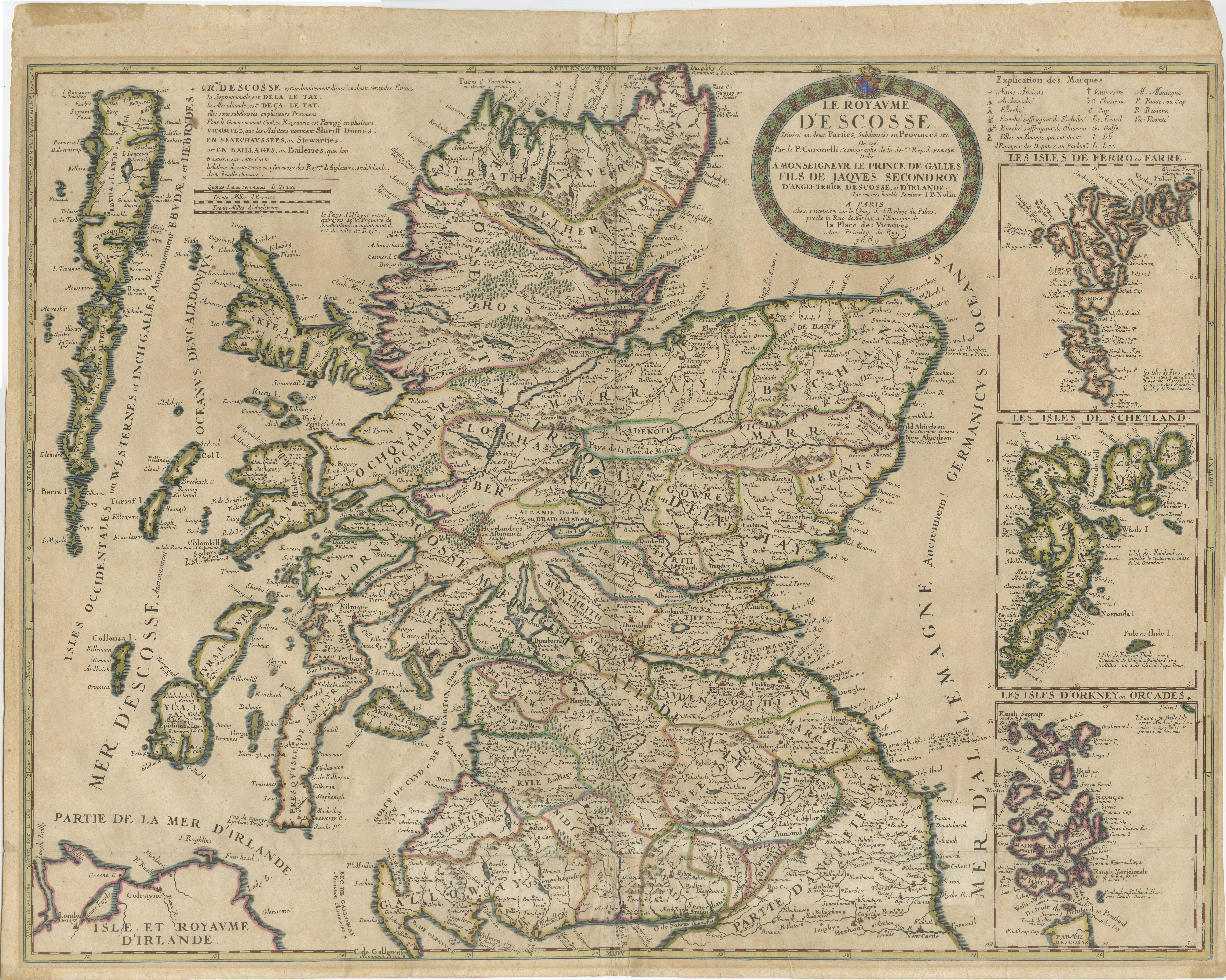
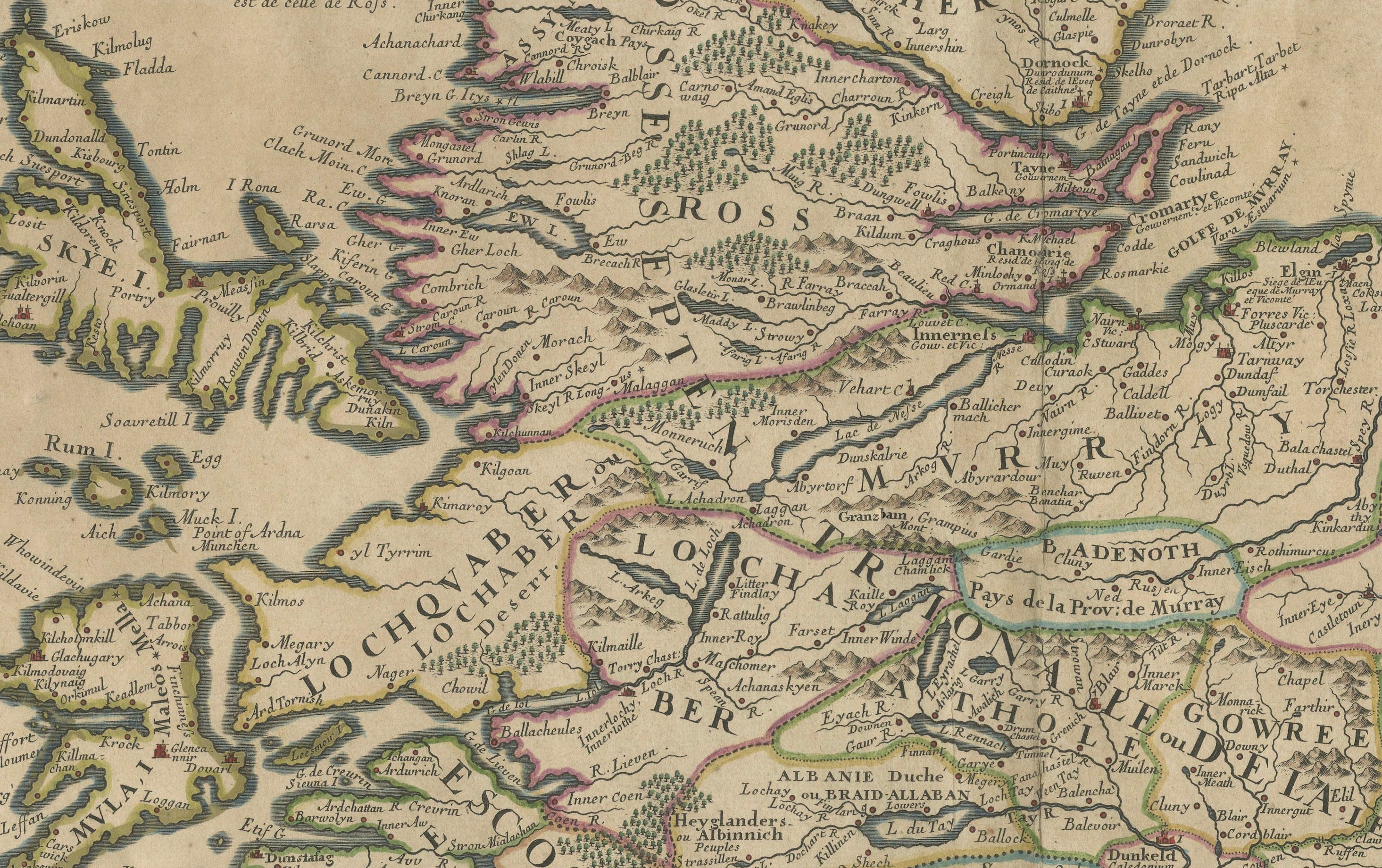
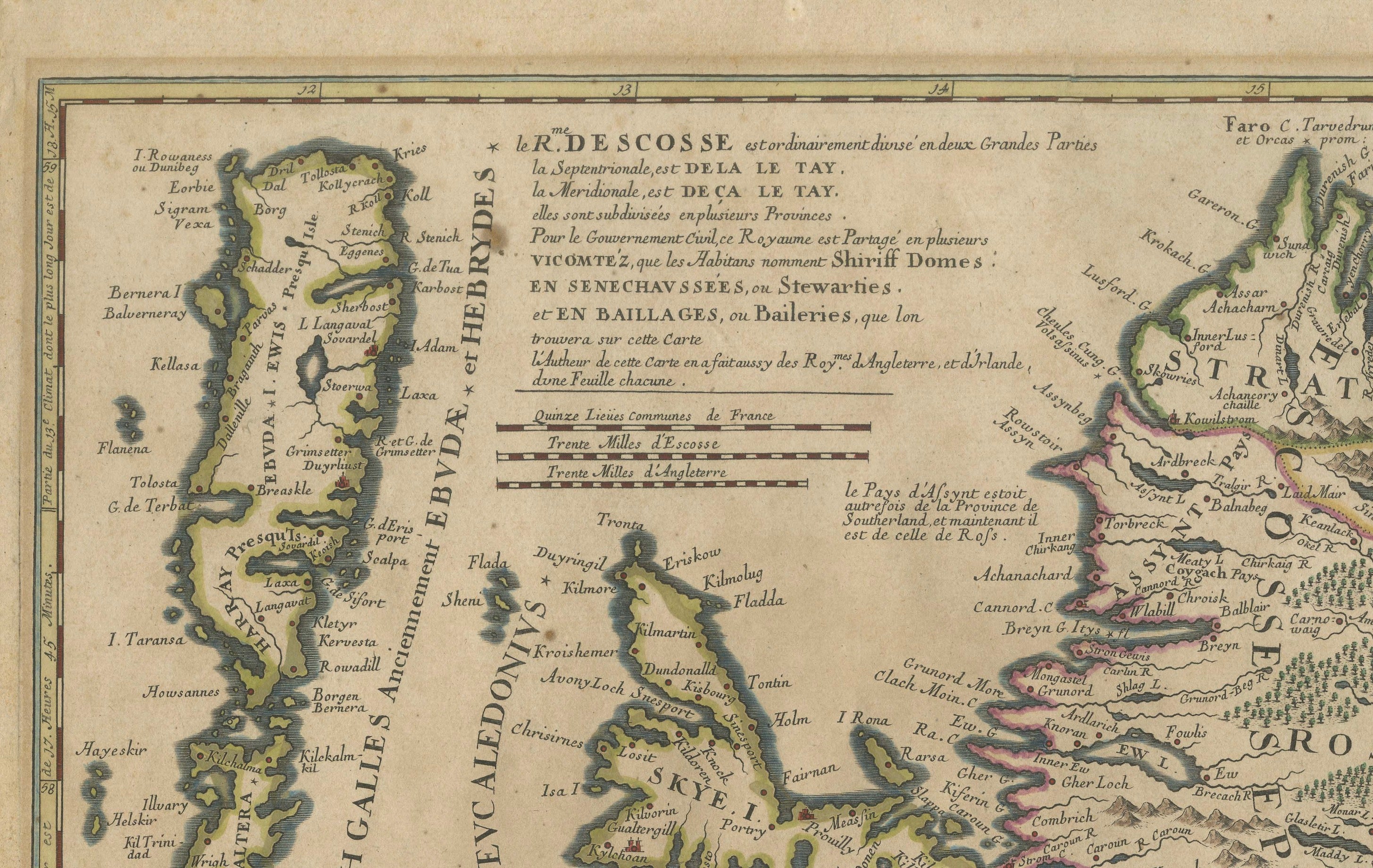
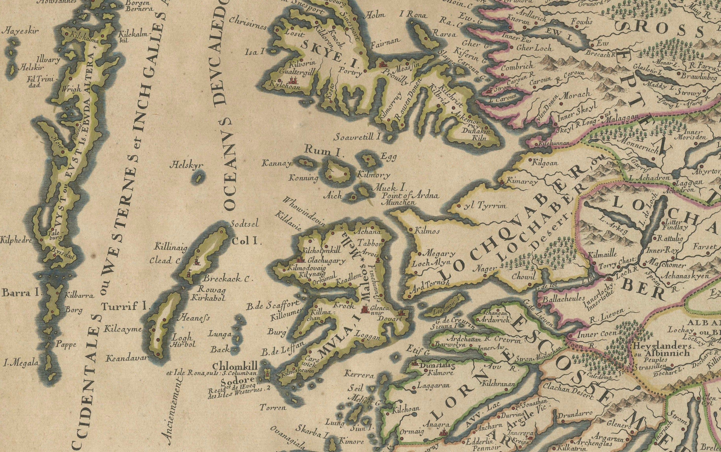
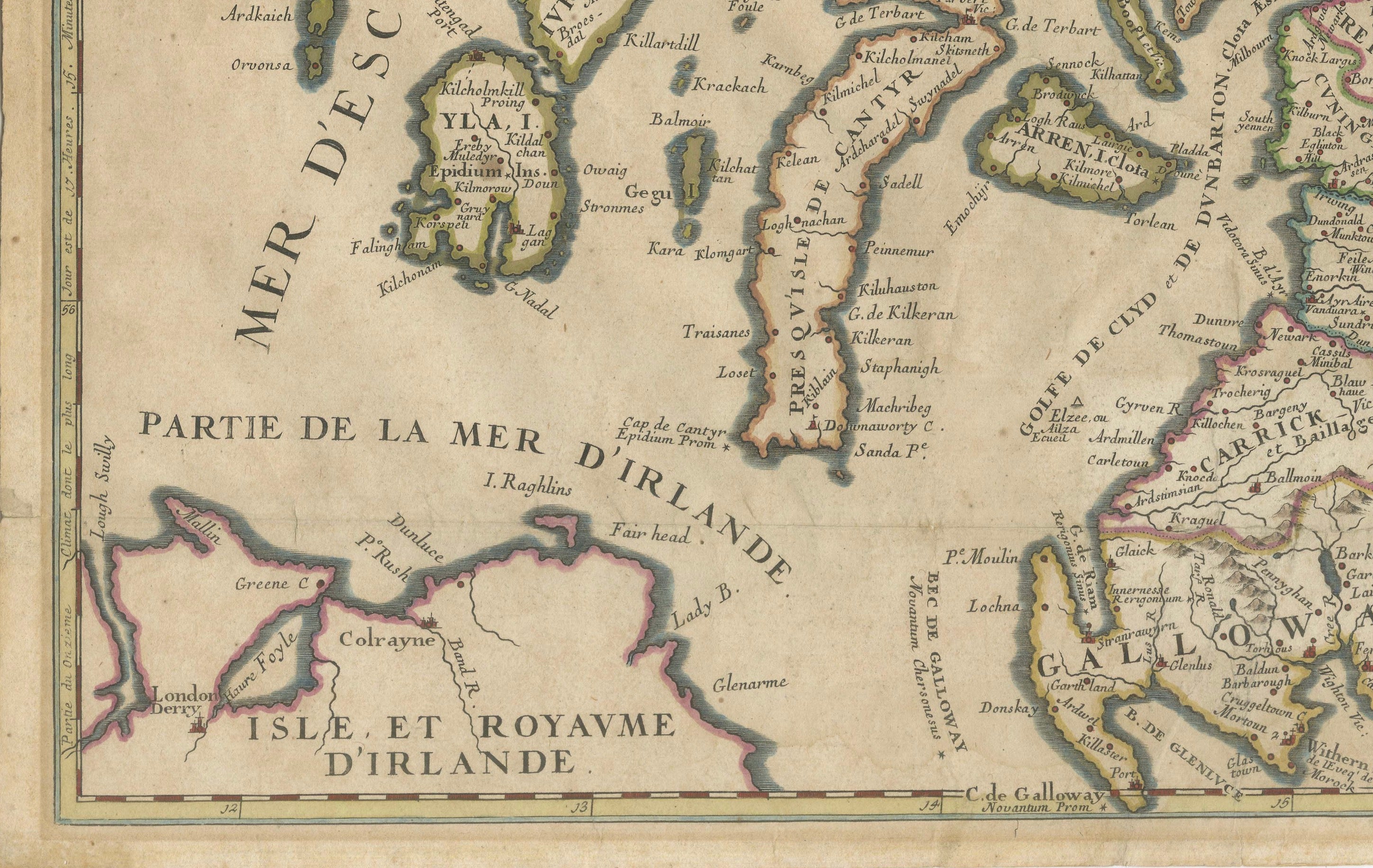
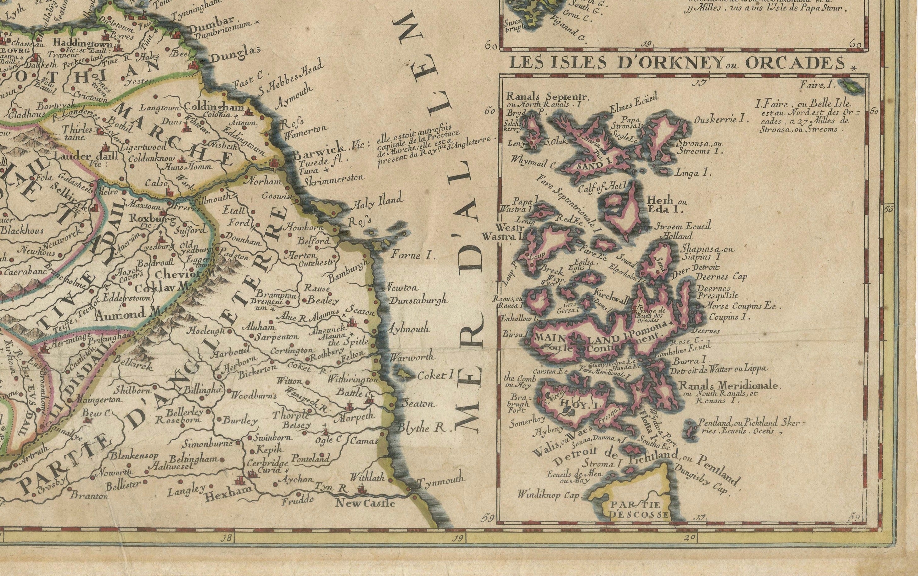
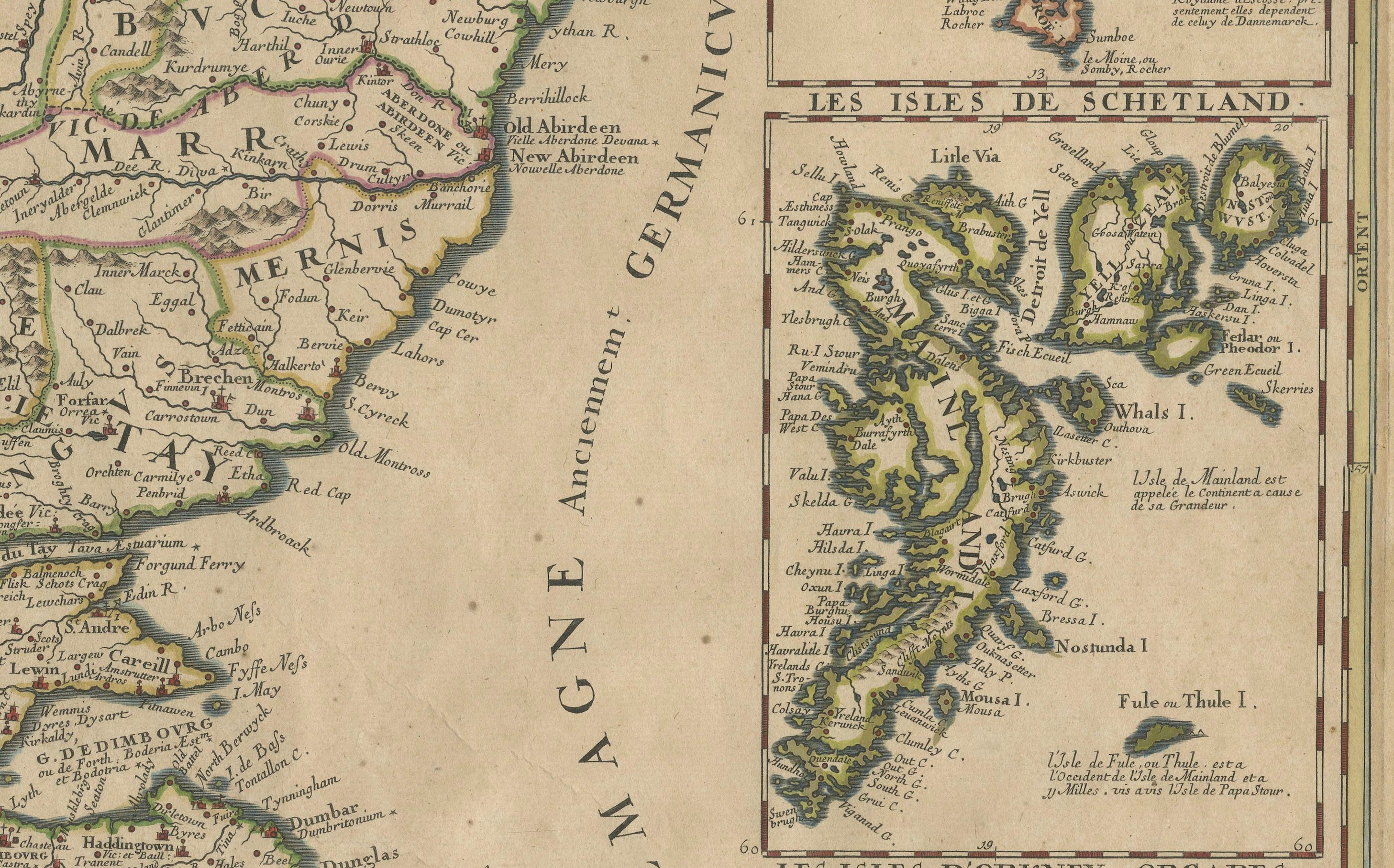
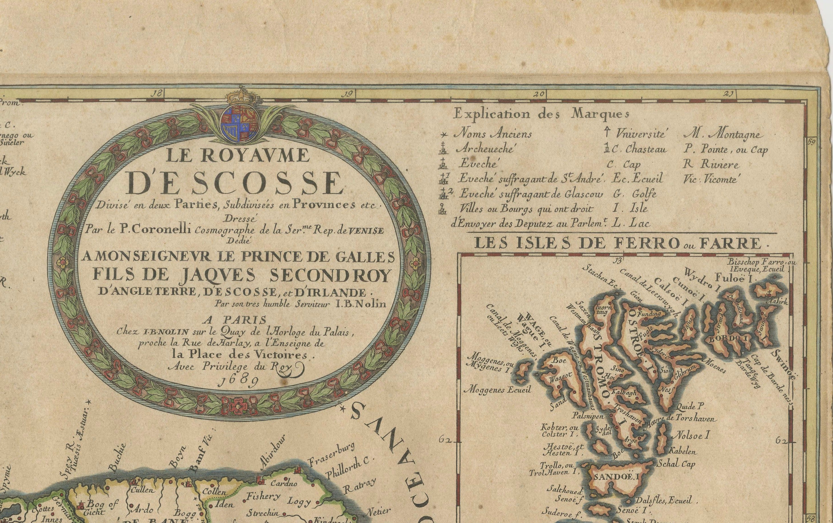
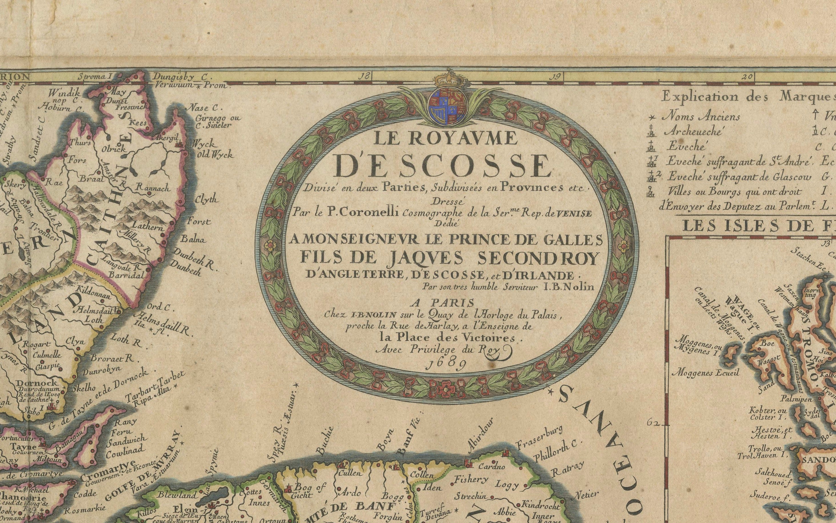
Original antique copper-engraved map of Scotland by Jean-Baptiste Nolin after the celebrated Venetian cartographer Vincenzo Coronelli. Titled “Le Royaume d’Escosse Divisé en deux Parties…”, the map presents Scotland in exceptional detail with provincial divisions, towns, rivers, lochs, islands, mountain ranges and coastal features. The right-hand border contains three separate inset maps of the Faroe Islands, Shetland Islands and Orkney Islands. A large decorative cartouche at upper right incorporates the title and dedication to James Stuart. The map retains attractive contemporary outline colouring and is a highly decorative late 17th-century representation of Scotland.
CARTOGRAPHERS: Jean-Baptiste Nolin (1657–1708), after Vincenzo Maria Coronelli (1650–1718)
DATE: 1689
ORIGIN: Paris, France
MEDIUM: Copperplate engraving with contemporary outline colouring on laid paper
DIMENSIONS: 46.5 × 61.5 cm (18.3 × 24.2 in.)
SUBJECT: Scotland, with inset maps of the Faroe Islands, Shetland Islands and Orkney Islands
STYLE / PERIOD: Baroque / Late 17th Century
CONDITION: Good antique condition with expected age-related toning, old folds and some mount staining. The sheet has been strengthened and repaired on the verso. Minor handling wear and surface marks consistent with age. The engraved image remains strong and highly decorative. Please study the photographs carefully.
FRAME / PRESENTATION: Sold unframed. Any framed or interior images shown are for presentation and inspiration only.
KEYWORDS: Scotland map, antique Scotland map, Jean-Baptiste Nolin, Vincenzo Coronelli, Coronelli map, 1689 map, 17th century map, Baroque cartography, hand coloured map, Scottish Highlands, Orkney Islands, Shetland Islands, Faroe Islands, British Isles, James Stuart, Old Pretender, antique cartography, historical Scotland, copper engraving, French map
SKU / INVENTORY: BG-14360-2