Maps & PrintsBartele Gallery · Langweer
Home / Antique Maps / Europe / Western Europe / France

France · 17th century

Antique Blaeu Map Vermandois & La Capelle France, Dual Sheet - 1642

€ 4 250

Original antique · The actual sheet photographed · Certificate of authenticity on request · Sold unframed · Worldwide shipping from € 15 (rates)

Date
1642
Mapmaker / artist
Willem Jansz. Blaeu, Amsterdam, circa 1642
Technique
Copper engraving with original hand color
Sheet size
50 × 59 cm (19.7 × 23.2 in)
Condition
Good
Reference
HP-007
What the condition grades mean
Excellent
Bright and clean, with no faults worth mentioning.
Very good
Only light signs of age, such as faint toning.
Good
Normal signs of age for a sheet of this period: toning, some foxing, small marks or neat old repairs.
Fair
Clear faults such as staining, tears or repairs, priced to match.

Every fault we see is written in the condition note, and the whole sheet is shown uncropped in the photos.

Condition

Very good with original hand color. Central fold as issued. Light age toning and minor marginal wear.

About this sheet

Antique Blaeu Map Vermandois & La Capelle France, Dual Sheet - 1642

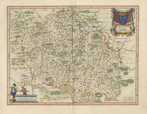
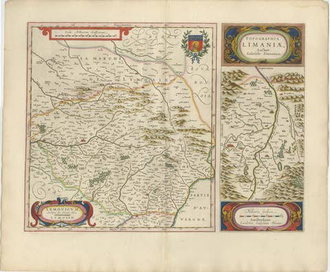
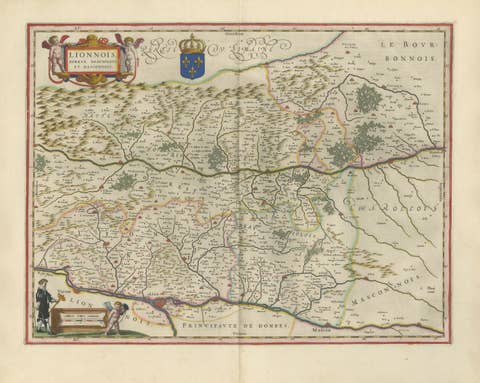
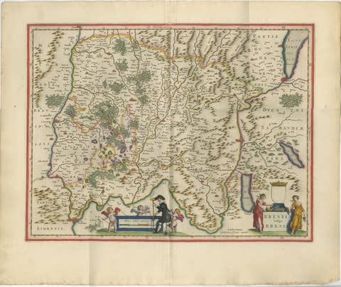
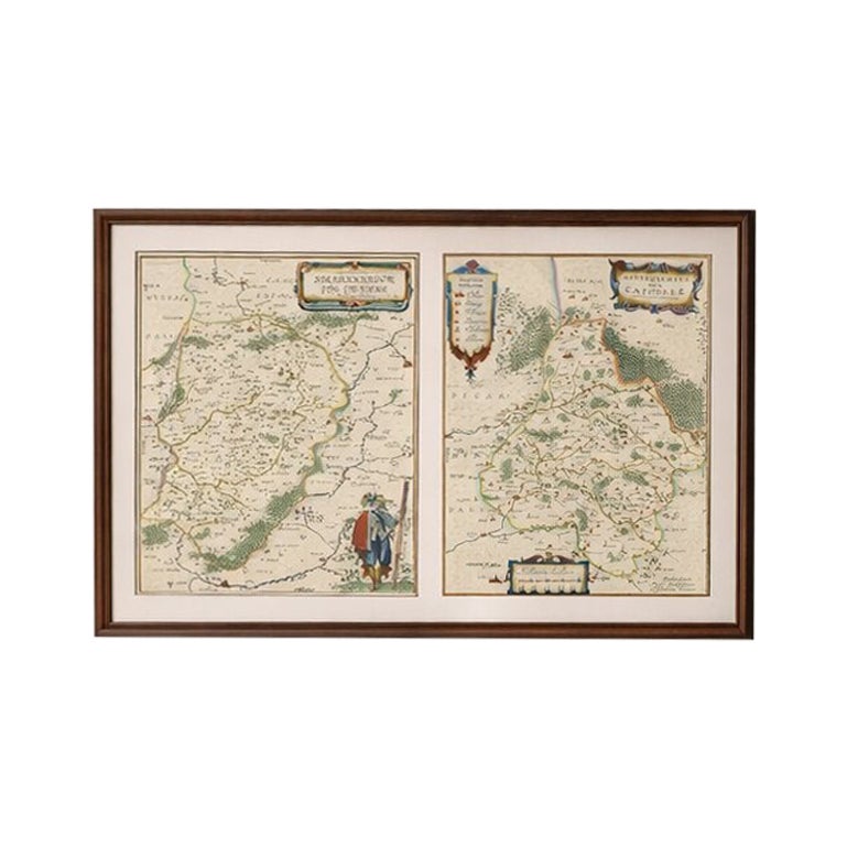
A beautifully composed double map depicting the regions of Vermandois and La Capelle, engraved by Willem Jansz. Blaeu and published in Amsterdam circa 1642. The split composition offers a visually dynamic presentation, with two adjacent regional views framed within a single sheet.

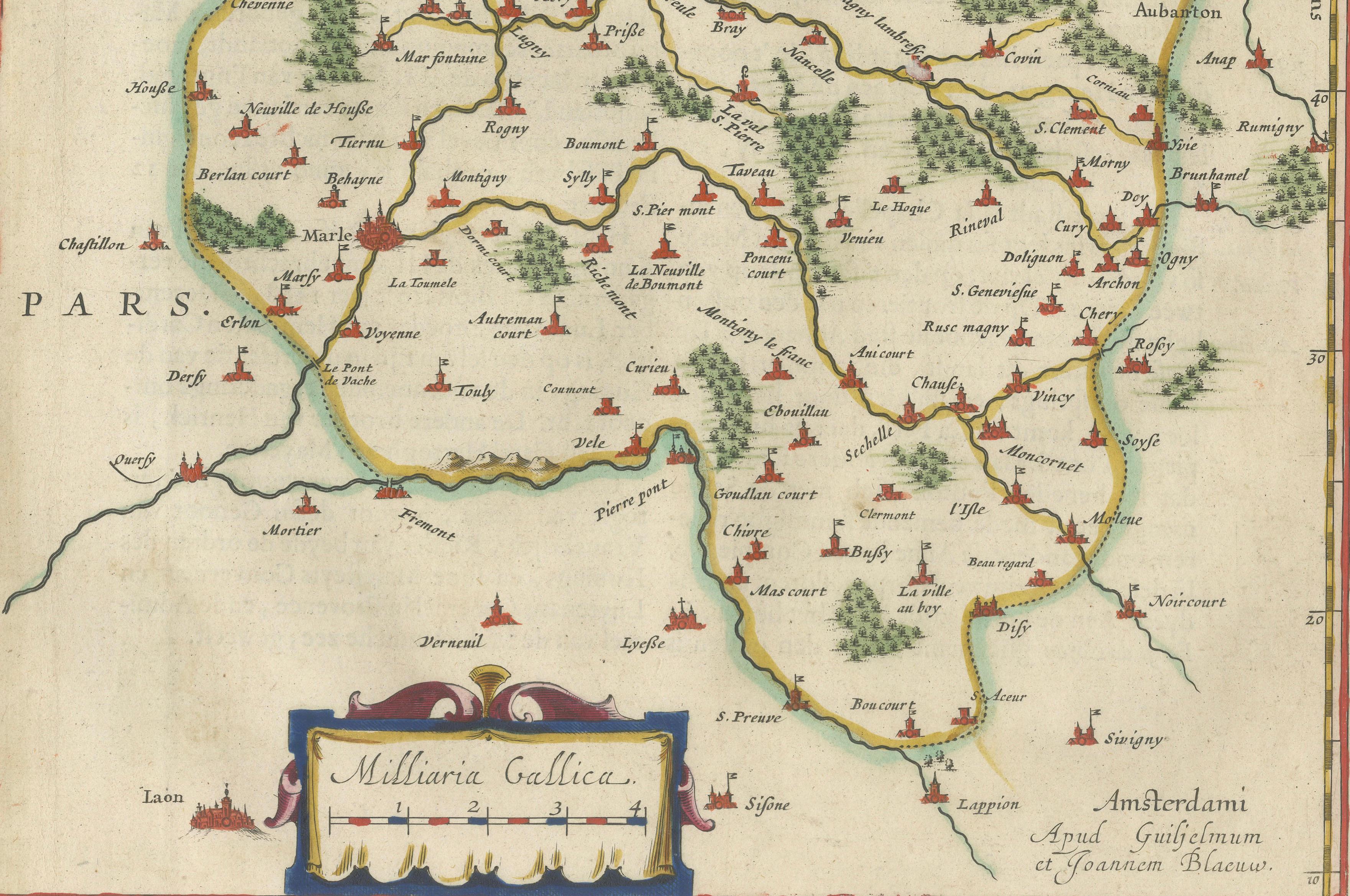
Each section is richly detailed with towns, rivers, and topographical features, enhanced by original hand coloring. Decorative title cartouches and scale bars add visual interest while maintaining clarity and balance.

This map forms part of Blaeu’s renowned Toonneel des Aerdrycx atlas, celebrated for its superior engraving quality and aesthetic sophistication.

A striking piece for collectors seeking something slightly different from standard single-map compositions.

Framing tips: Works well in a horizontal frame with a wide mat, allowing both maps to breathe equally.

Authenticity note:
This is an original 17th-century engraving, not a reproduction. The map is sold unframed; any framed images are shown for presentation and interior inspiration only.

More from France

Ask about this sheet

Antique Blaeu Map Vermandois & La Capelle France, Dual Sheet - 1642
1642 · Ref. HP-007 · € 4 250
We reply by email, usually within one working day.

Your favorites

Saved in this browser. Email the list to yourself to keep it on any device.

We use your email to send this list and, only if you tick the box and confirm, for occasional new arrivals. Every email has an unsubscribe link. Bartele Gallery, the Netherlands.