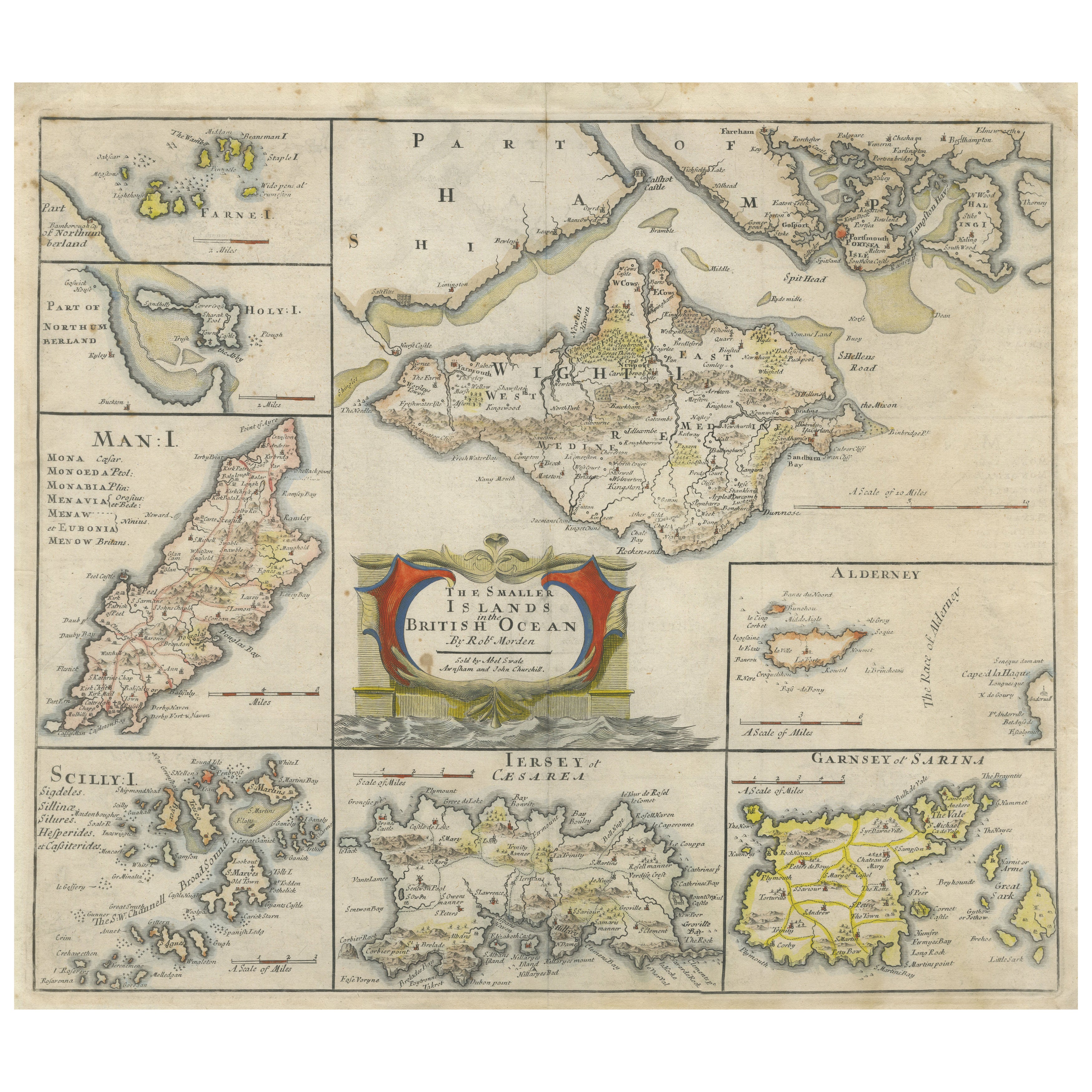
British Island Group Map 1695 – Morden’s Smaller Islands of the British Ocean
€ 340
One of a kind: this is the sheet in the photographs. Ships from Langweer, the Netherlands.
Date
1695
Sheet size
39.1 × 45.5 cm (15.4 × 17.9 in)
Condition
Fair
Reference
BG-13757-9
Condition
The map is in fair condition with original hand color. The paper remains strong with generous margins. A centerfold is visible as issued, with a few small professional repairs and minor toning at the edges, hardly affecting the image area.
About this sheet
British Island Group Map 1695 – Morden’s Smaller Islands of the British Ocean
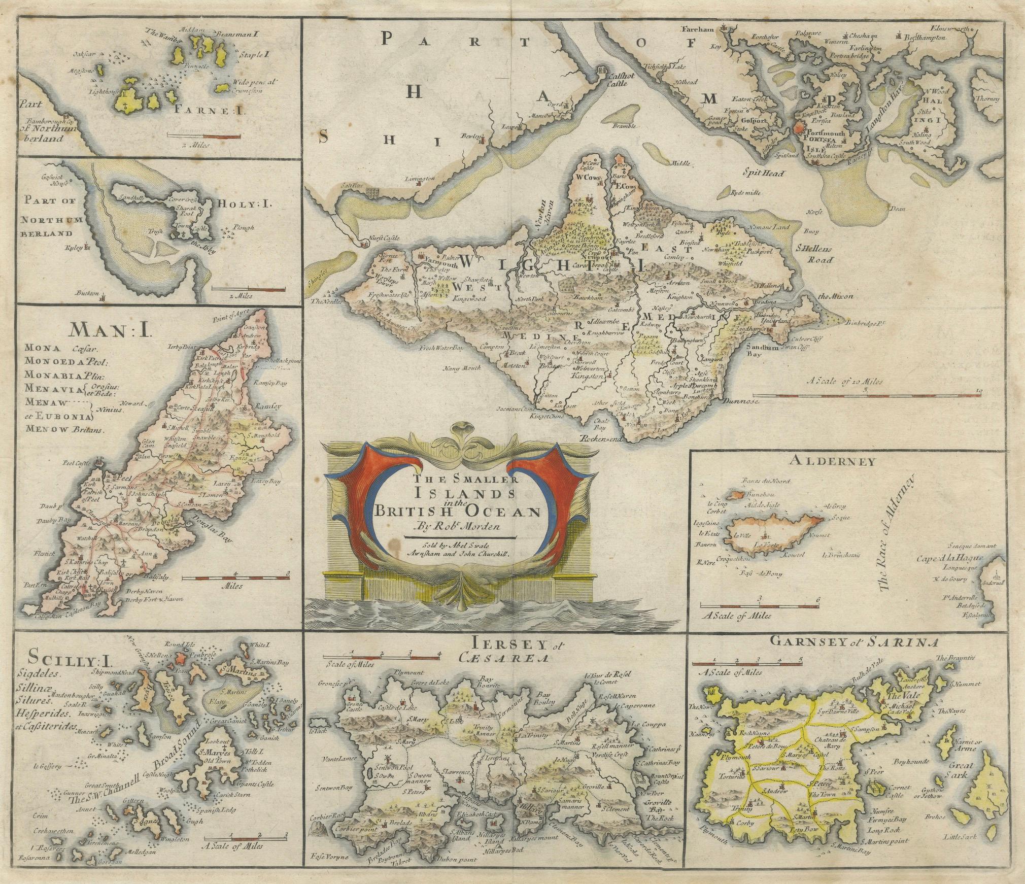
This rare and decorative late 17th-century map titled "The Smaller Islands in the British Ocean" was engraved by renowned English cartographer Robert Morden and published in London around 1695. The sheet presents a beautifully detailed cartographic overview of various smaller but historically significant British islands, meticulously divided into eight regional inset maps.
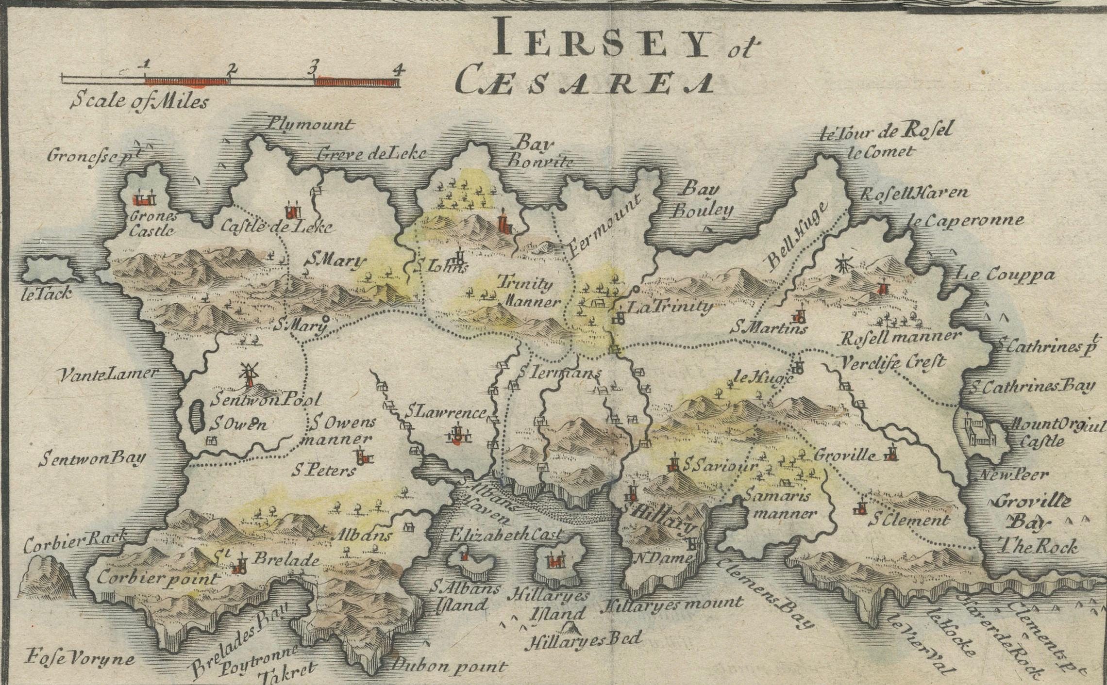
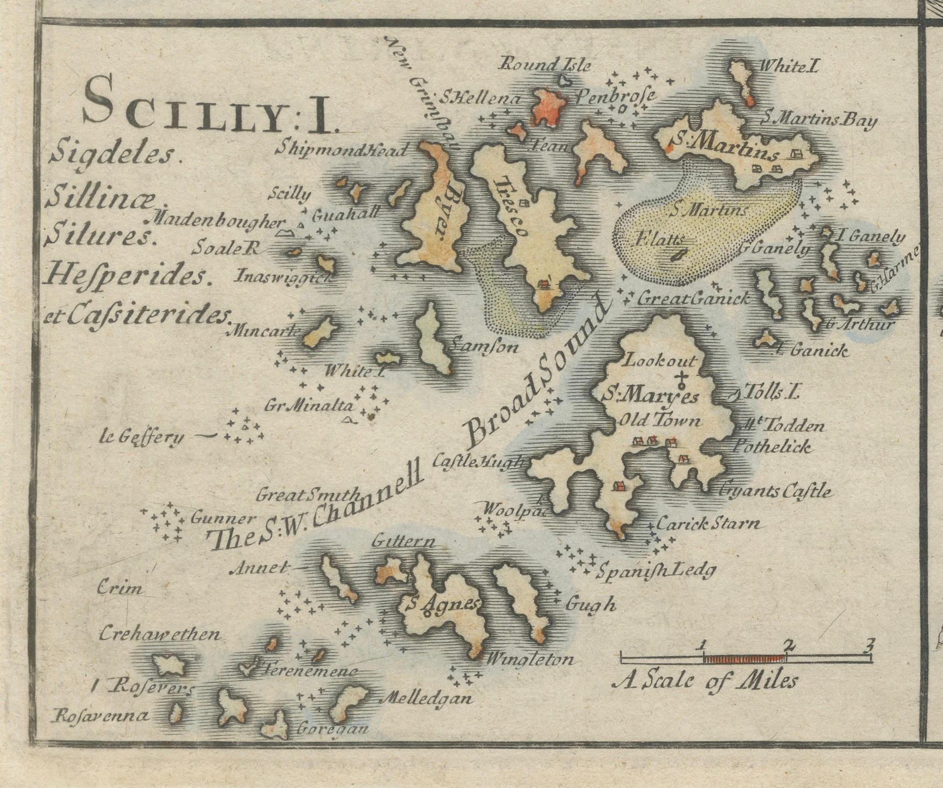
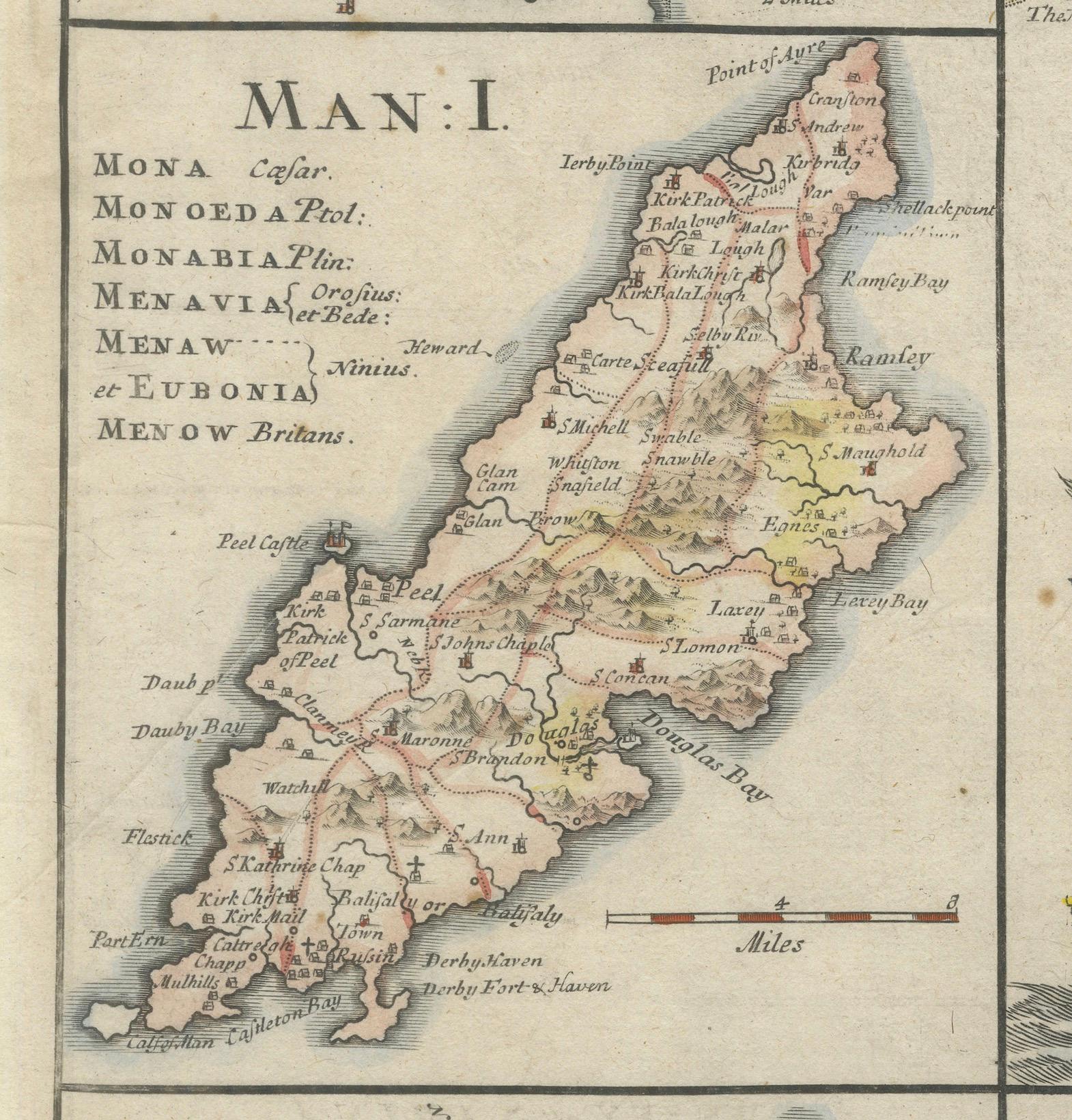
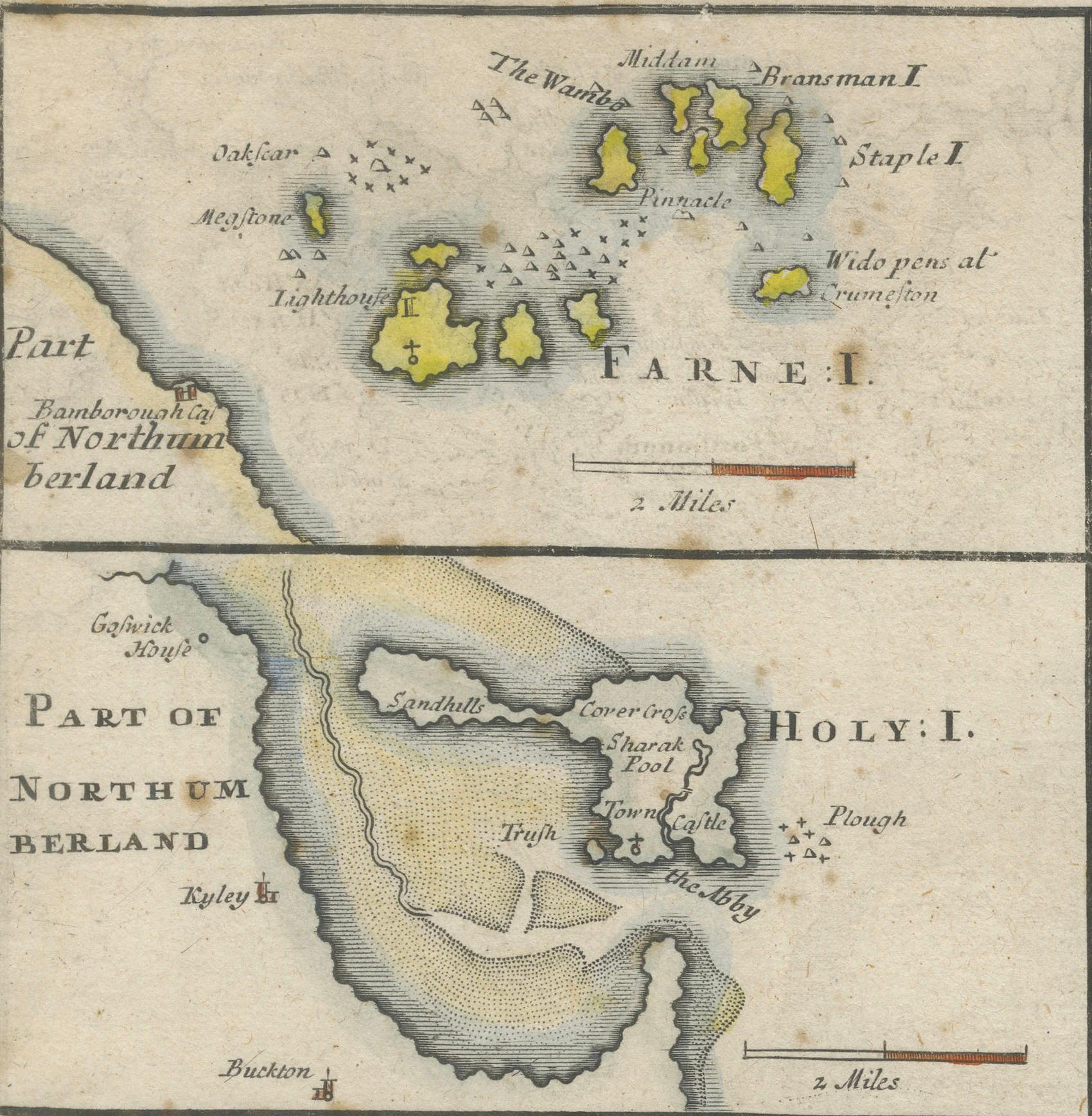
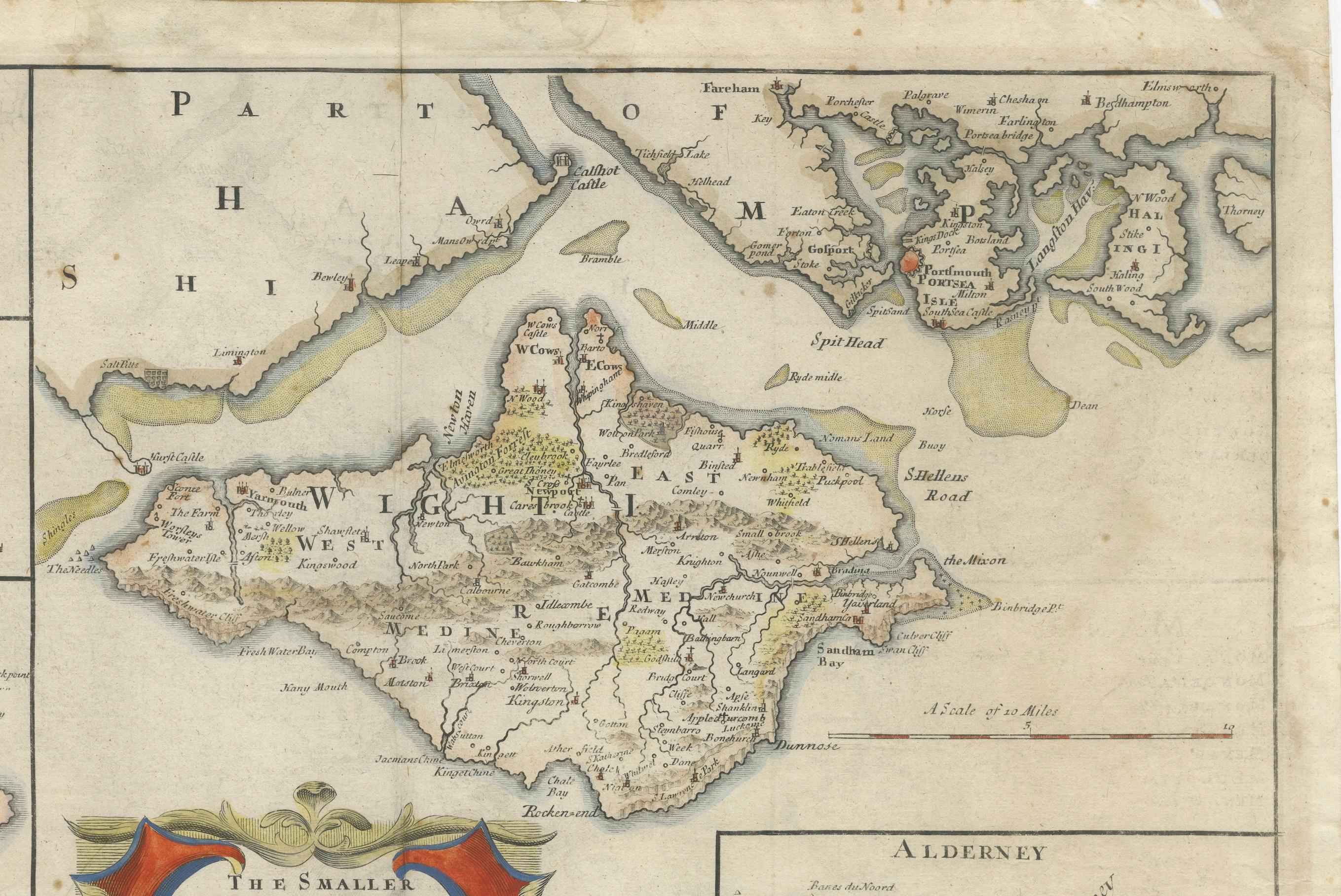
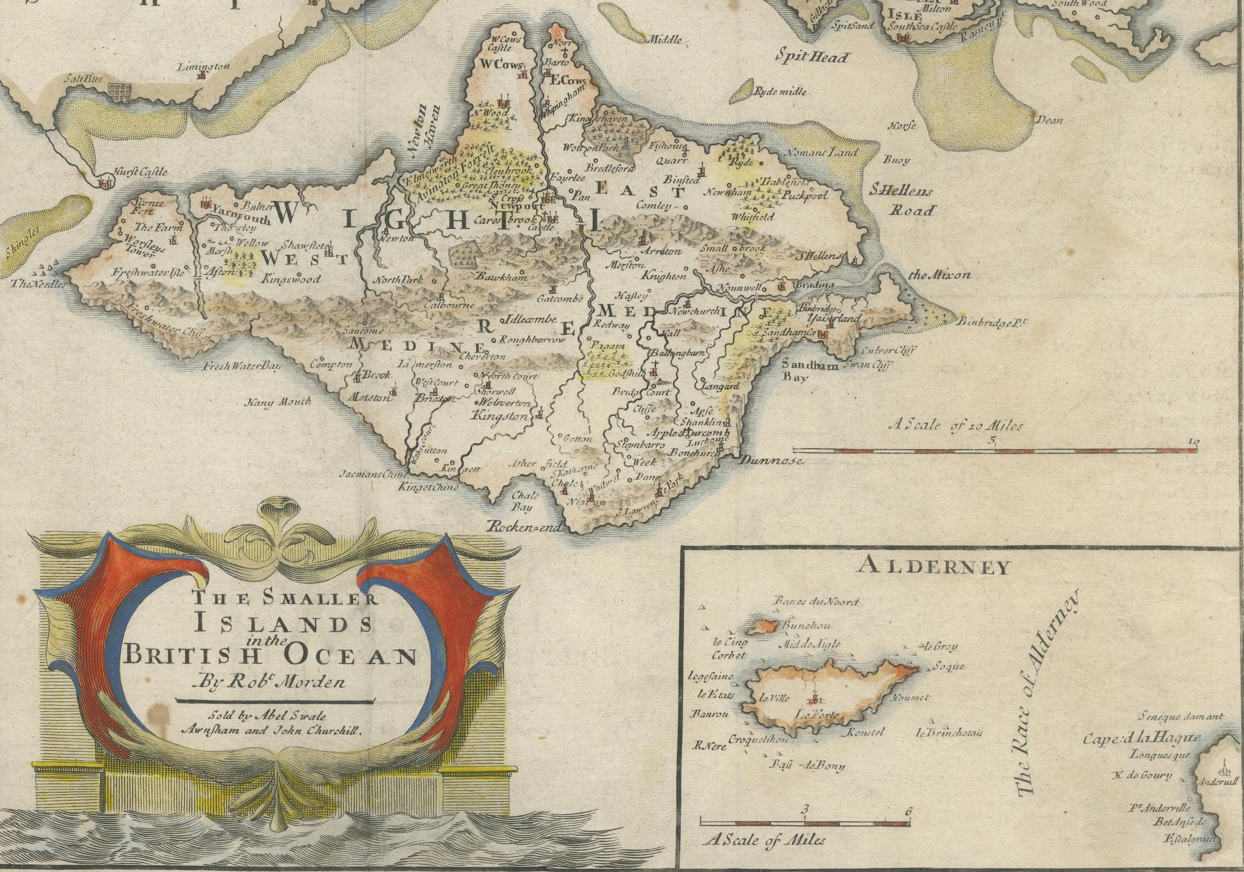
Centered prominently is the Isle of Wight, with its rivers, settlements, and natural features clearly labeled. Surrounding this are finely engraved panels showing the Isle of Man, the Scilly Isles, Jersey (labeled IERSEY or CÆSAREY), Guernsey (GARNSEY or SARINA), Alderney, Holy Island, and the Farne Islands. Each inset features its own scale and highly readable hand coloring applied to regional boundaries, settlements, and topographic elements.
Morden’s ornate title cartouche, elaborately decorated with classical scrollwork, anchors the map visually. This cartouche and the overall design reflect the late Baroque style popular in English cartography at the time. Despite their small size relative to Great Britain, these islands were politically, economically, and strategically important, and Morden’s decision to focus on them as a set marks this map as a unique and insightful document of English maritime geography.
Robert Morden (c.1650–1703) was a prolific mapmaker and globe manufacturer based in London. He is best known for his county maps of England and Wales, often included in Camden’s Britannia, as well as his participation in early atlases and geographical treatises. This map demonstrates both his technical skill and his eye for elegantly presenting detailed regional information.
Condition summary: The map is in fair to good condition with original hand color. The paper remains strong with generous margins. A centerfold is visible as issued, with a few small professional repairs and minor toning at the edges, hardly affecting the image area. The print retains a deep impression with fine plate detail. A few wrinkles.
Framing suggestions: A dark wood or ebonized frame with a double mat—cream with a red or olive inner accent—would enhance both the decorative cartouche and the rich original coloring. This map is a superb choice for collectors of English cartography, coastal studies, or historical maritime geography. Its blend of charm, history, and rarity makes it an excellent conversation piece for both traditional and eclectic interiors.