About this sheet
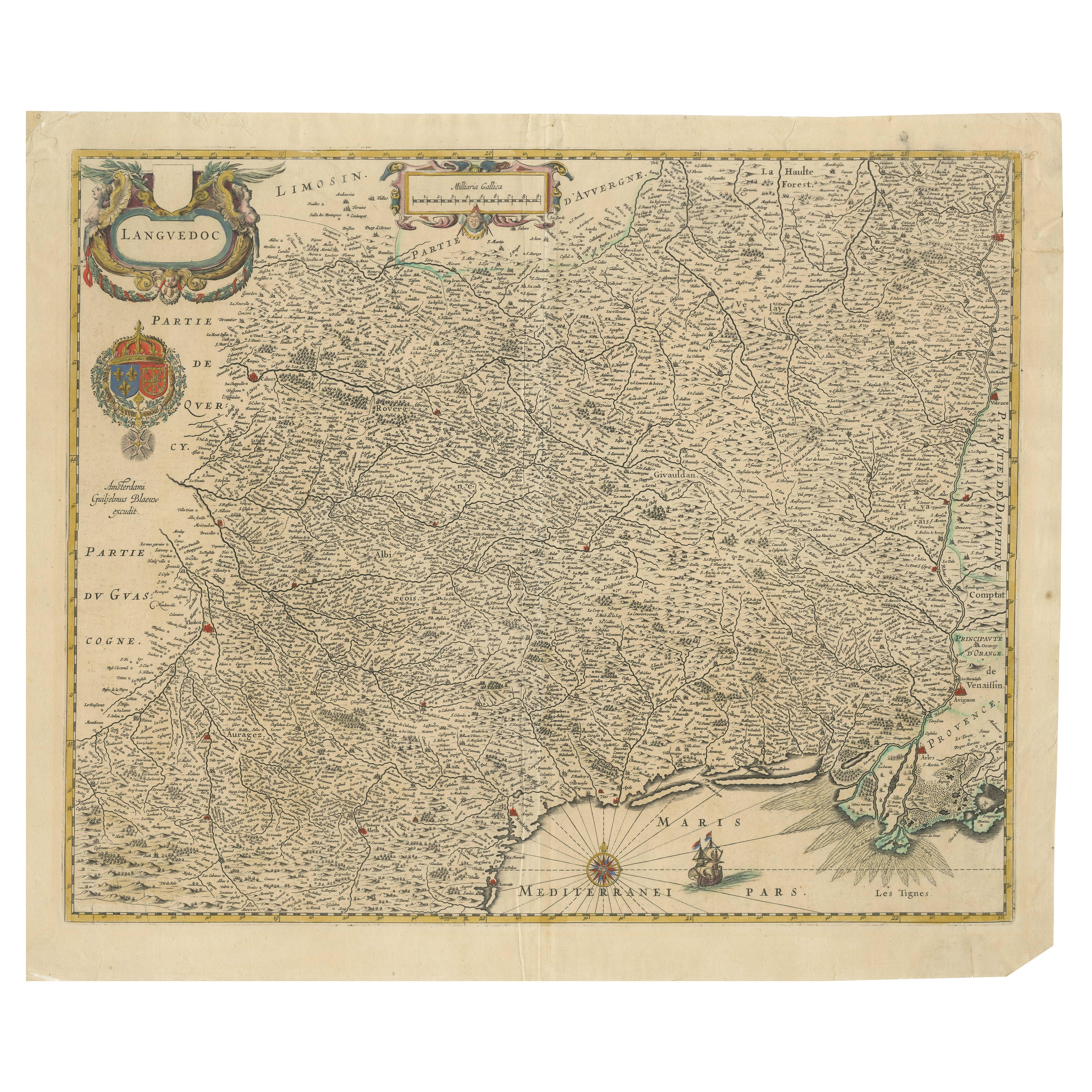
Map of Languedoc by Willem Blaeu, Antique French Copper Engraving 1635
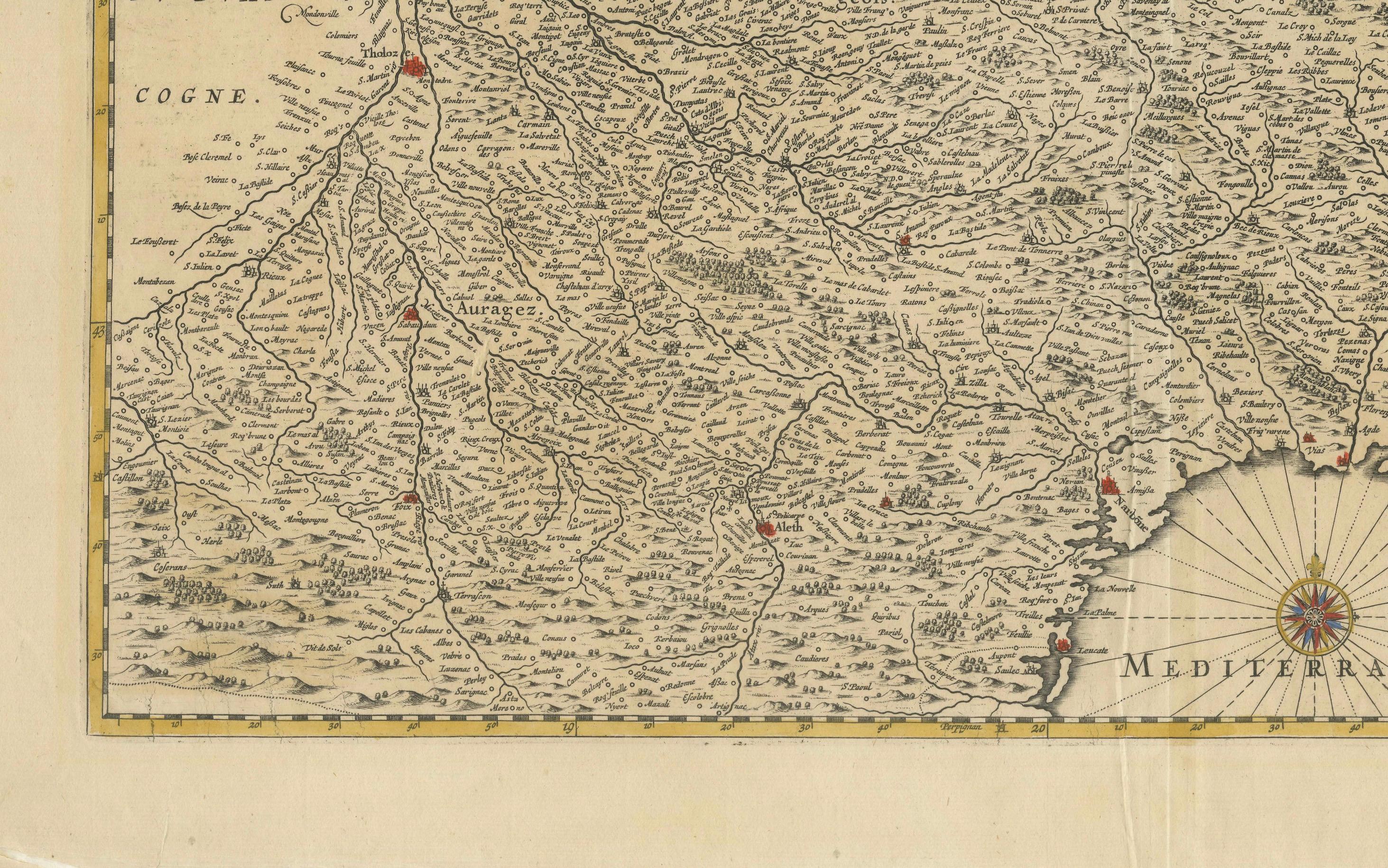
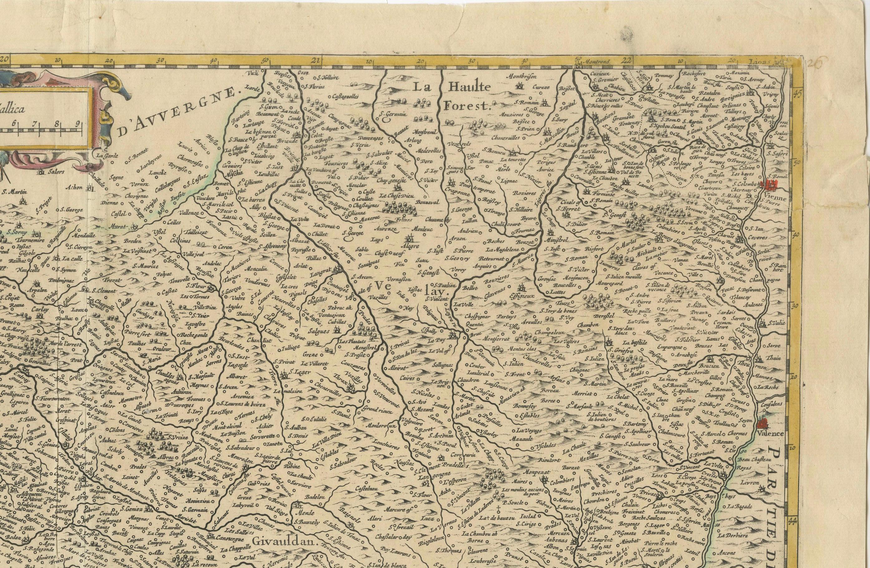
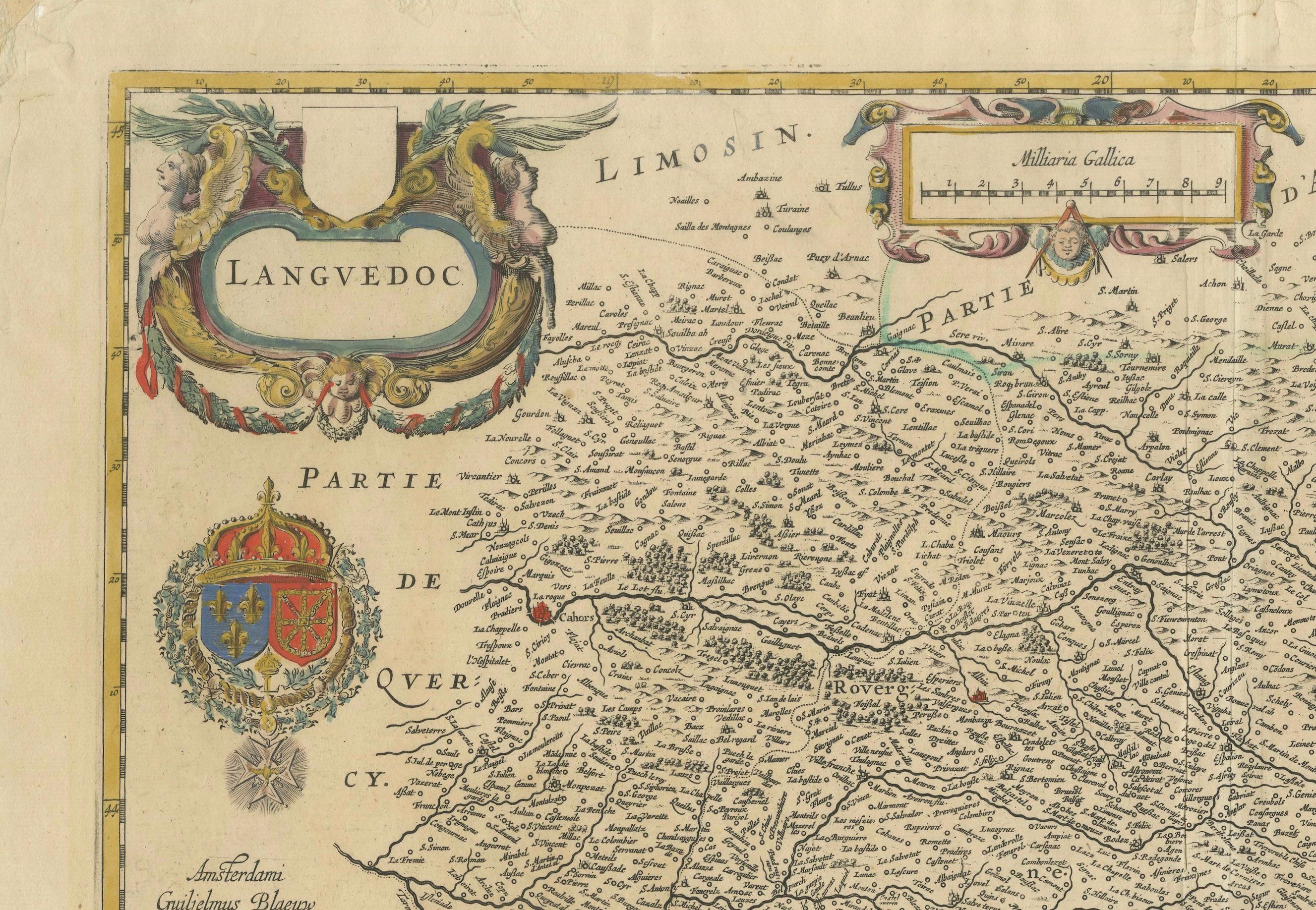
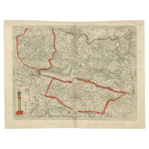
This fine antique map titled "Langvedoc" depicts the historical province of Languedoc in southern France and was produced by Willem Blaeu, one of the most celebrated Dutch cartographers of the 17th century. Originally published in 1631, this specific edition dates from 1635 and was issued as part of Blaeu’s renowned atlas series, Theatrum Orbis Terrarum.
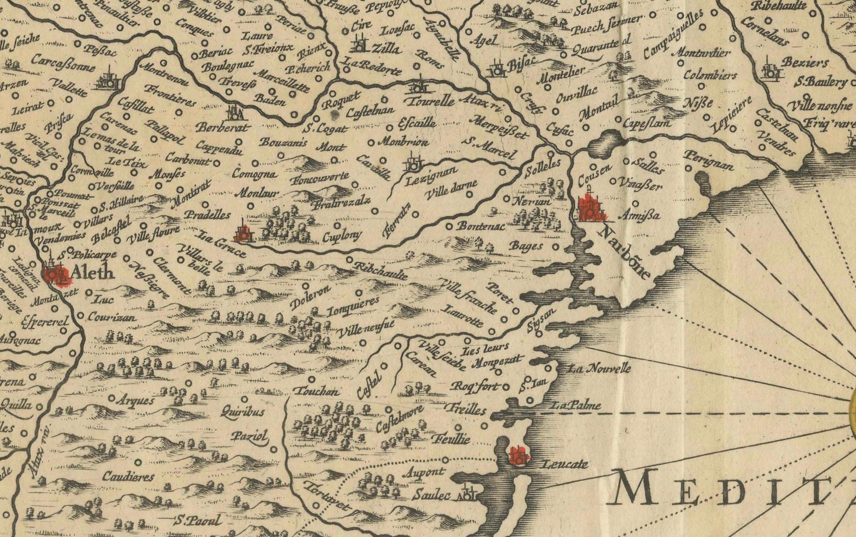
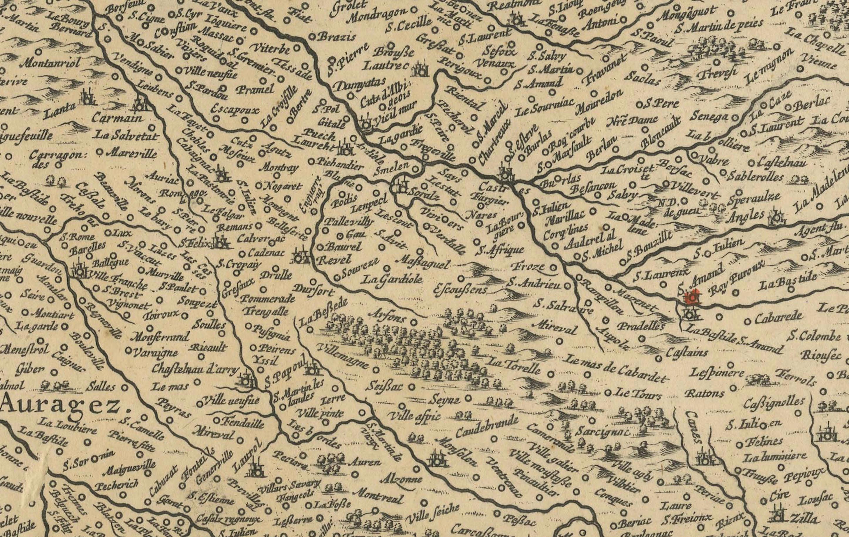
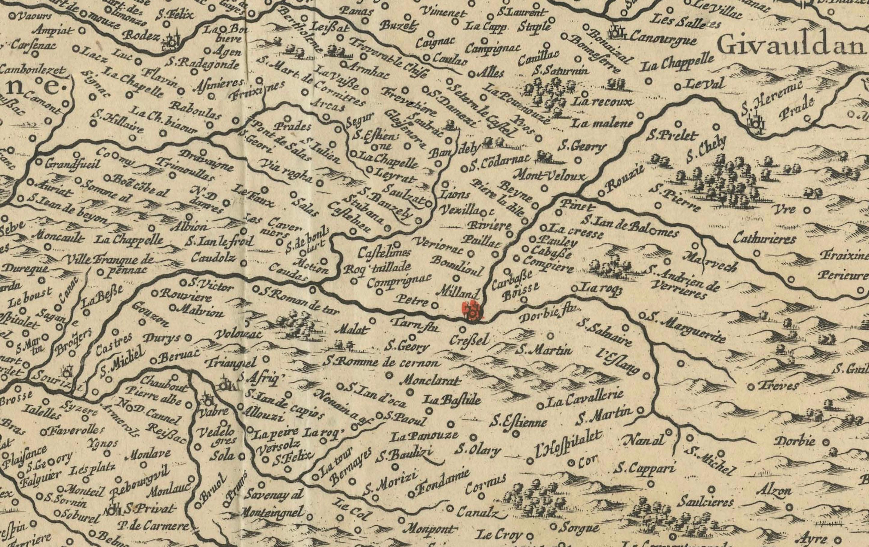
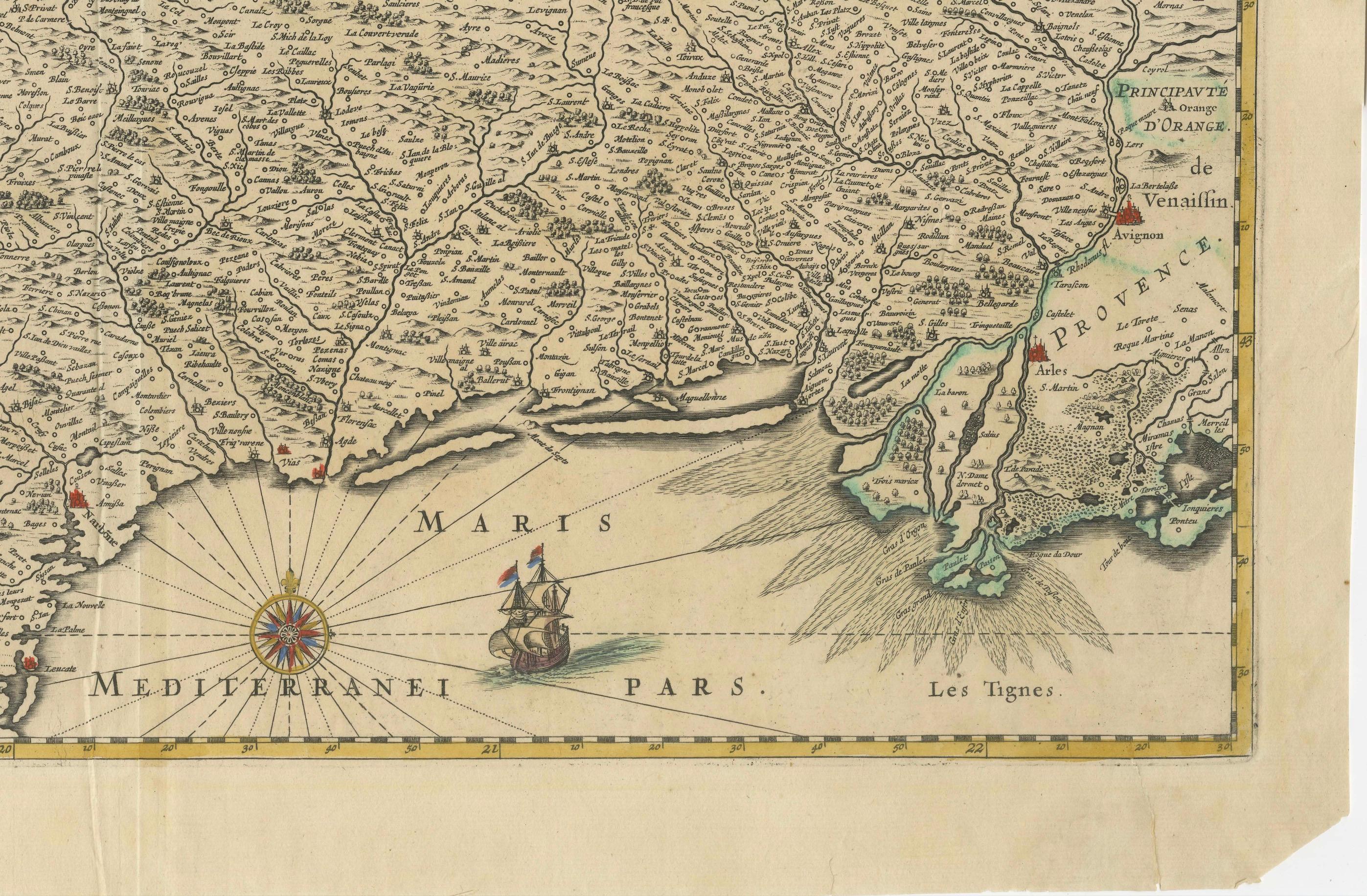
Engraved in copper and delicately hand-colored, the map showcases the region's complex network of towns, rivers, mountain ranges, and coastline along the Mediterranean Sea. Notable cities such as Montpellier, Nîmes, Béziers, and Carcassonne are clearly marked. The level of detail reflects both the cartographic skill and aesthetic ambition of the Blaeu publishing house.
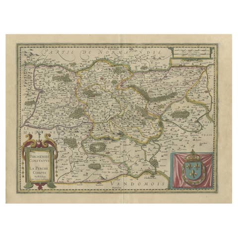
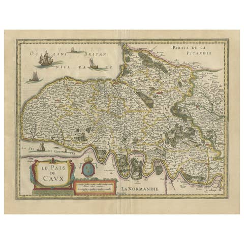
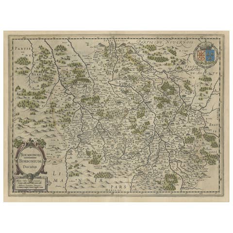
The map is enriched with decorative elements typical of the period, including a large ornate title cartouche at upper left, flanked by cherubs and scrollwork. Beneath the cartouche, the royal coat of arms of France is prominently displayed, colored in vivid red, gold, and blue, underscoring the political affiliation of the region during the reign of Louis XIII. A mileage scale in the upper center and a compass rose in the Mediterranean further enhance the navigational and ornamental qualities of the work. A sailing ship adds charm and visual interest to the sea section.
Willem Blaeu, active in Amsterdam, was a master printer, publisher, and globe maker. His maps were not only among the most accurate of his time but also the most beautiful, combining scientific precision with artistic elegance. This map would have been included in an early Blaeu atlas, valued for both its information and its aesthetic appeal.
This is an exceptional example of early French regional cartography, ideal for collectors of antique maps or those with a connection to the Languedoc region.
Condition:
Good condition with age-toned paper, mainly edge wear, touching the image but mostly outside the plate mark. Old folds as issued.
Tips for Framing:
Best displayed in a classic gold or natural wood frame with an ivory or parchment-tone mat to complement the warm patina and hand-coloring of the map.