About this sheet
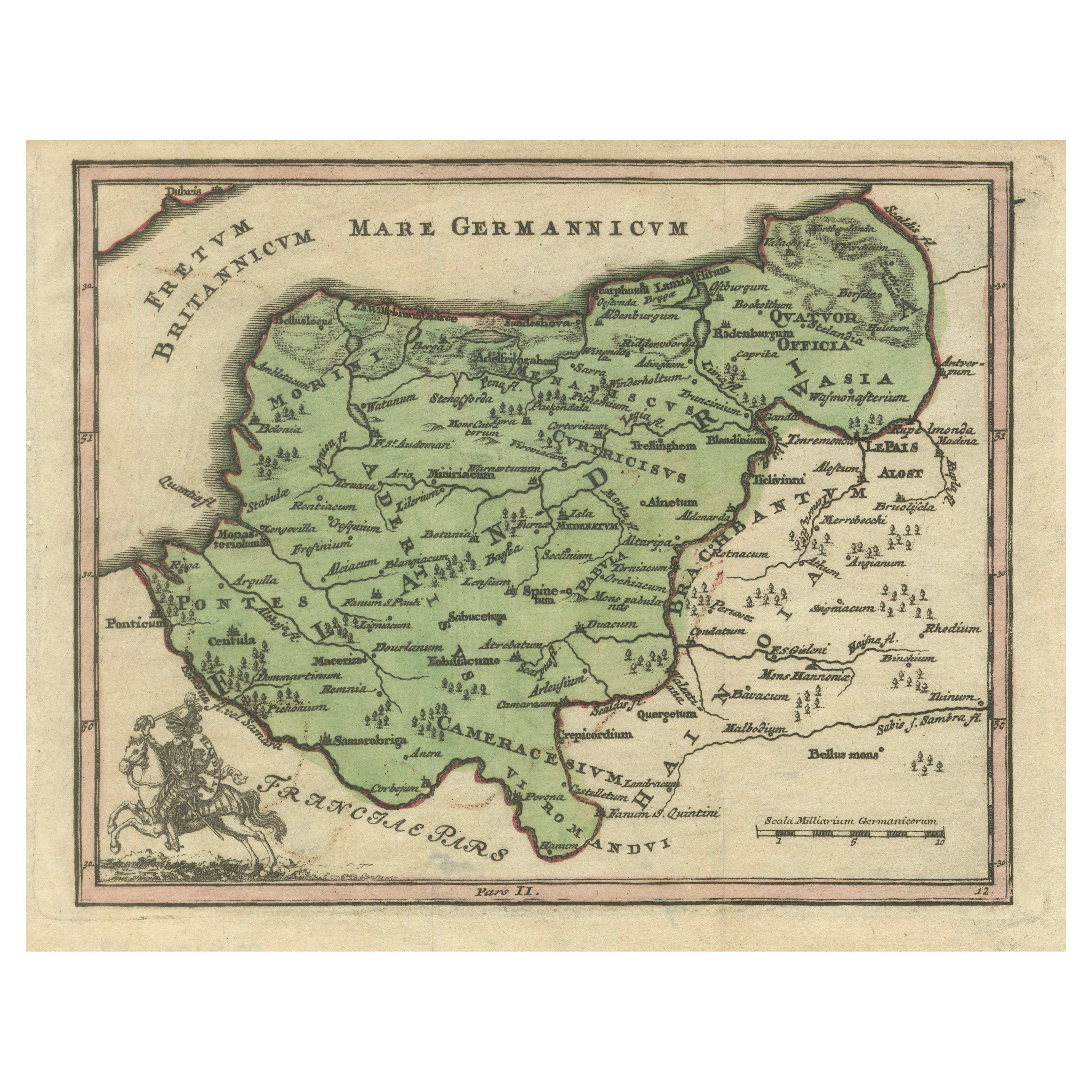
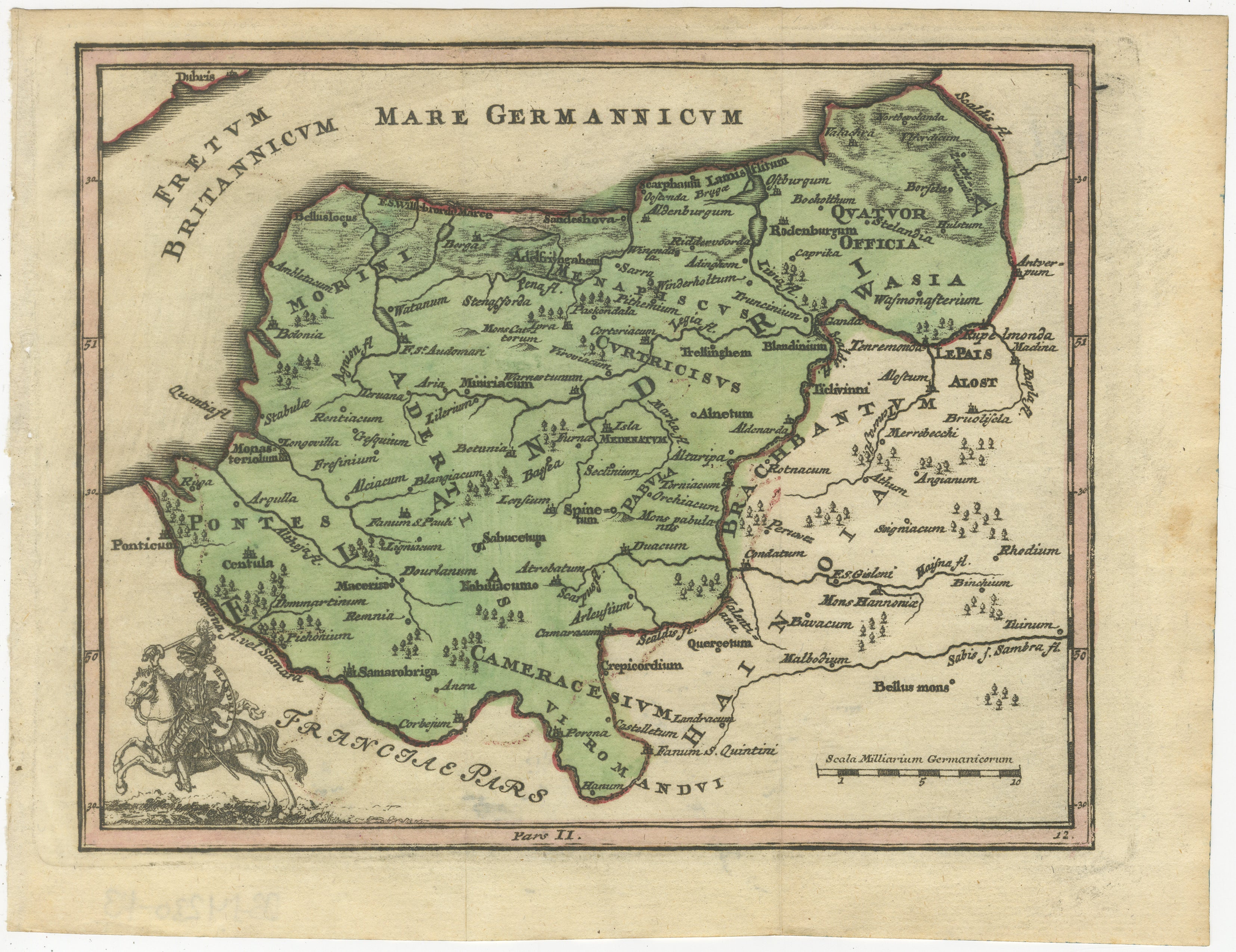
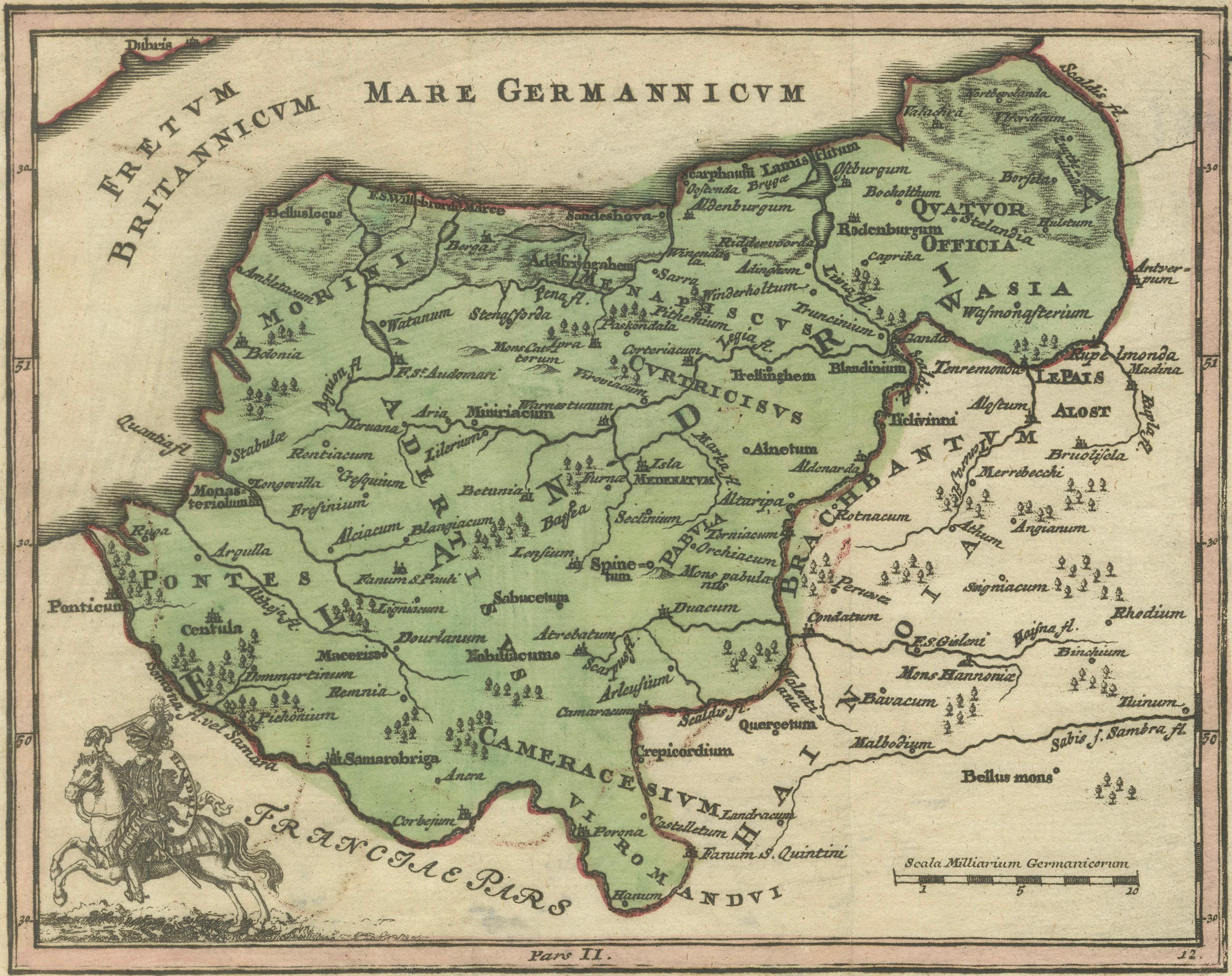
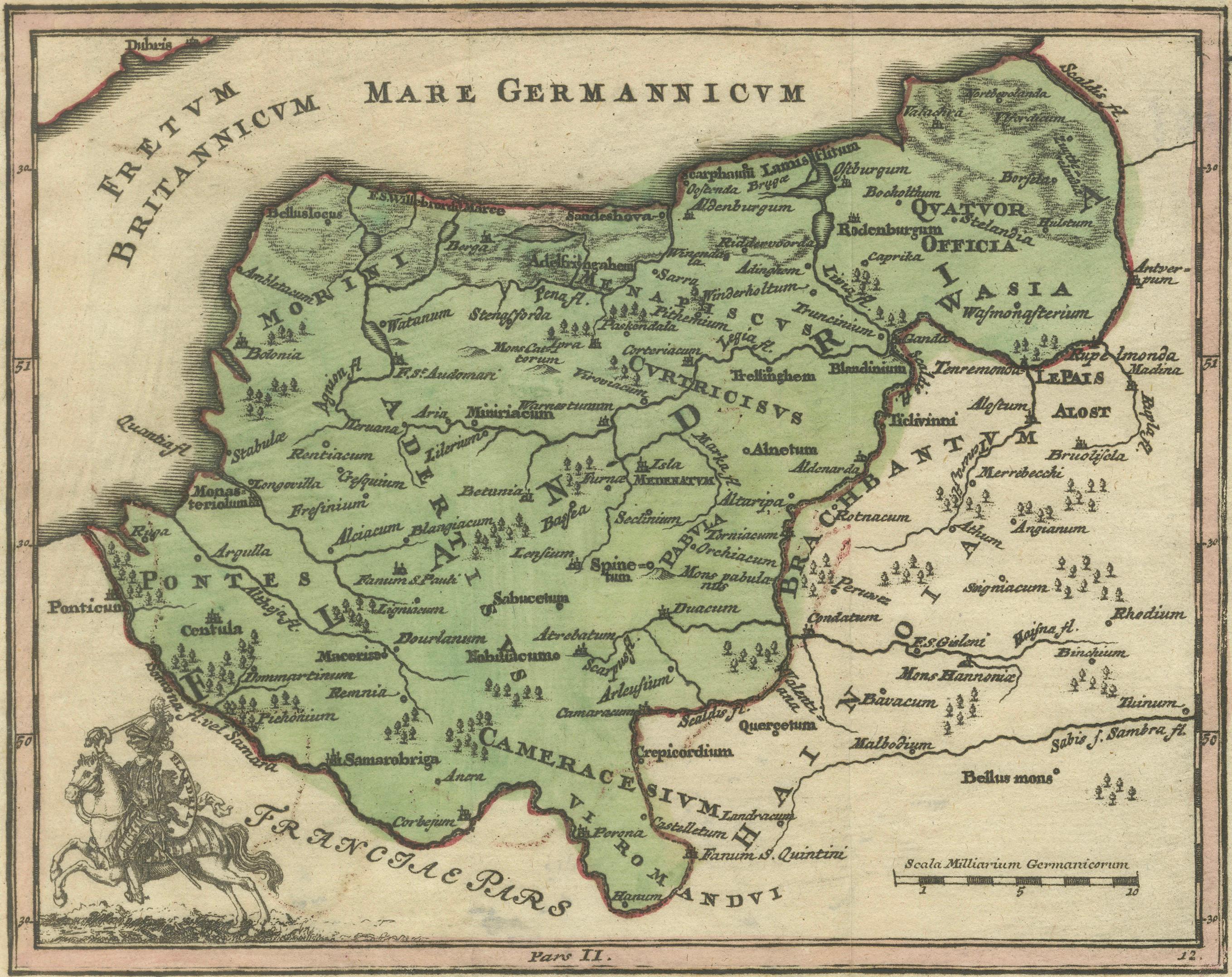
Holsatia Ducatus Antique Map of Holstein and Hamburg Region, Petrus Kaerius 1650
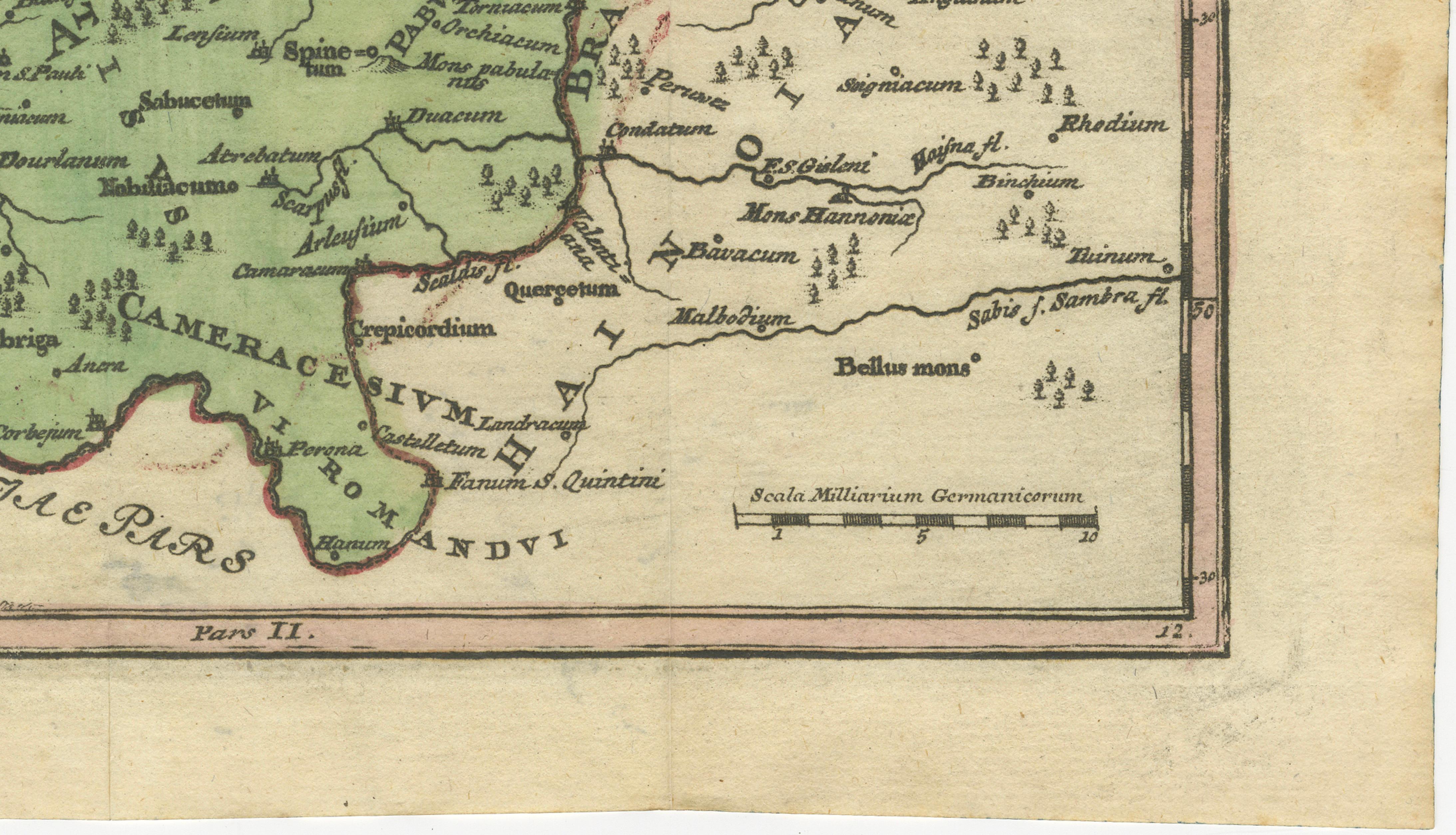
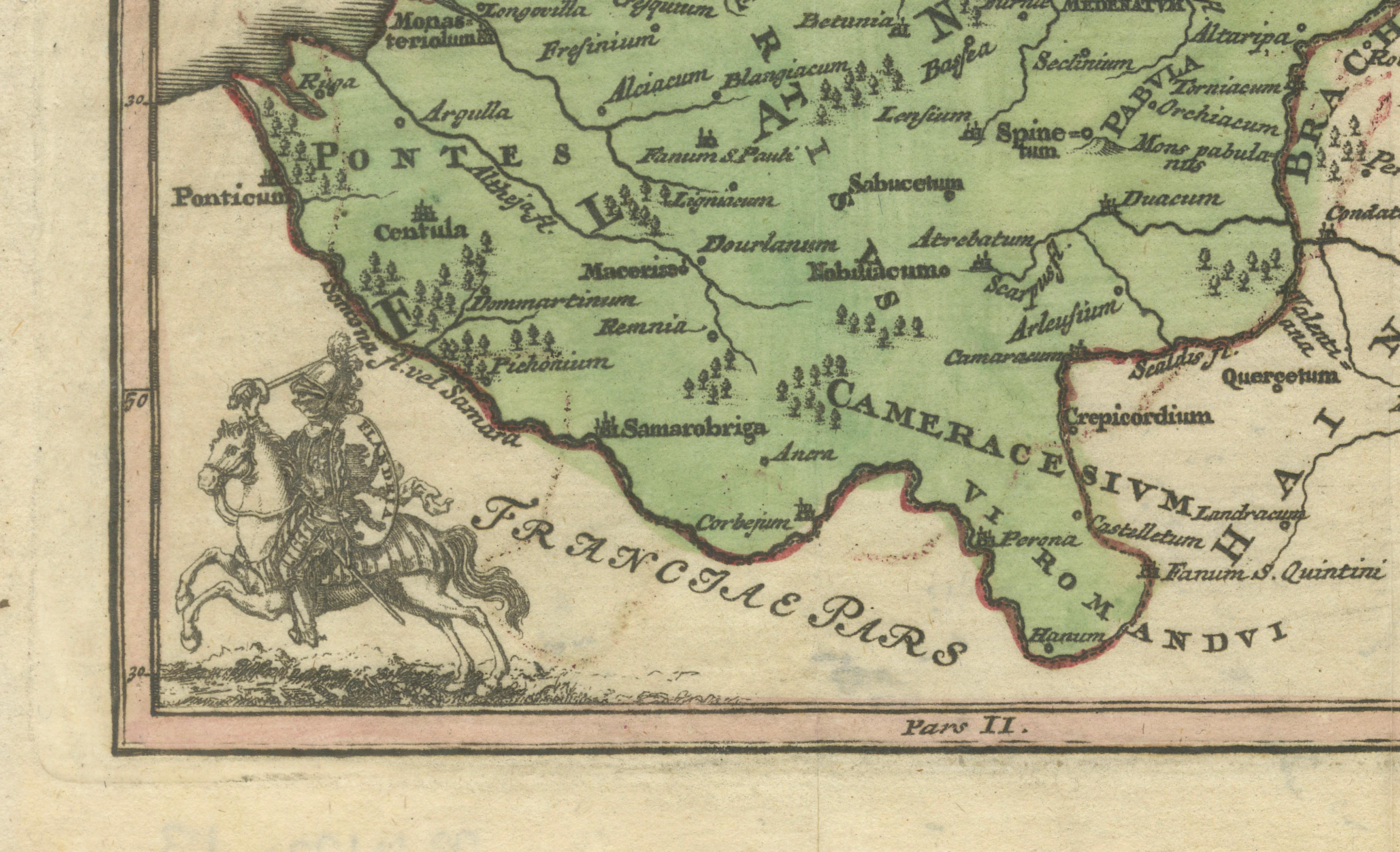
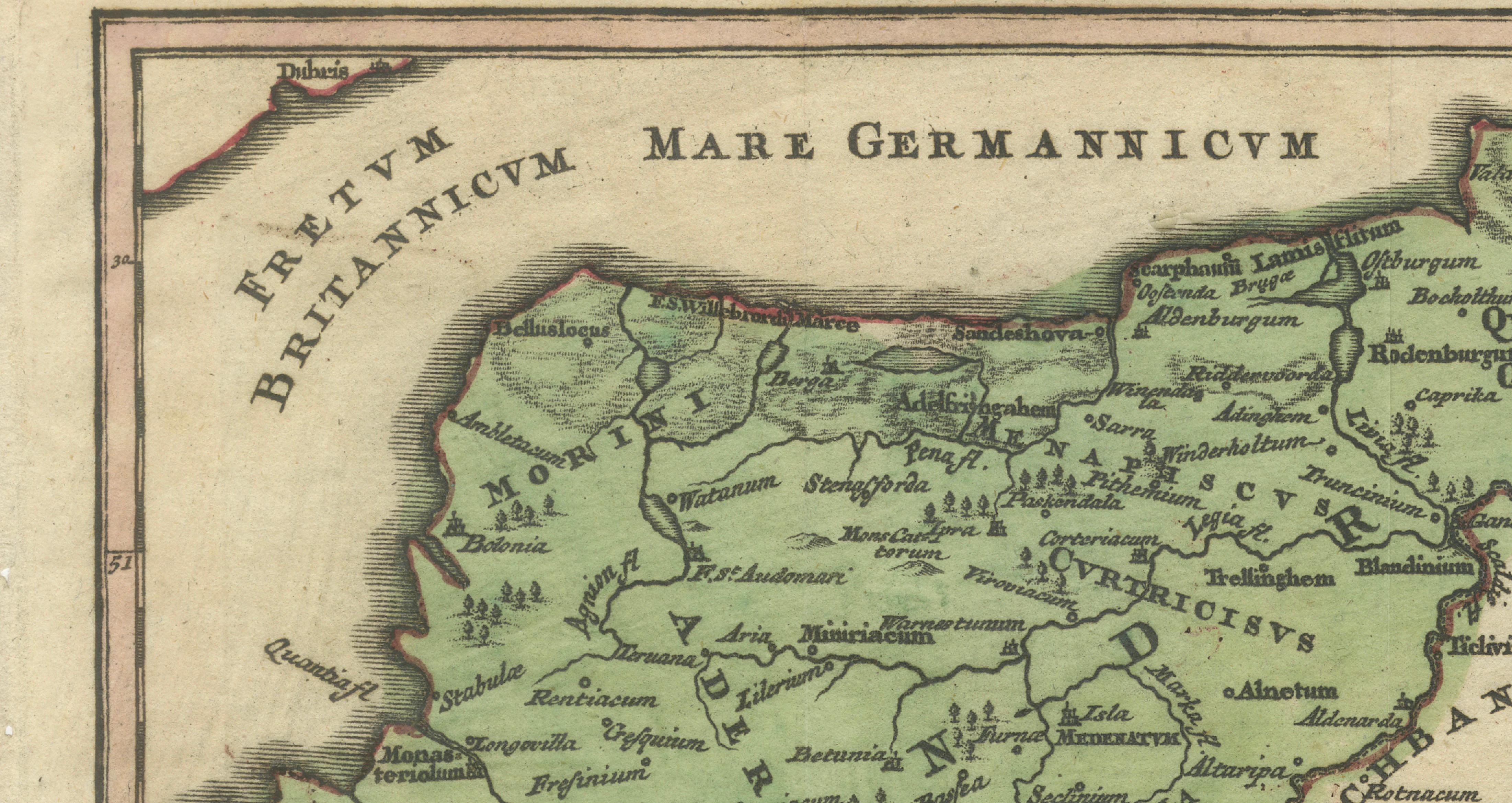
A scarce and historically significant 17th-century engraved map titled “Holsatia Ducatus,” depicting the Duchy of Holstein and surrounding northern German territories, including Hamburg, Lübeck, Lauenburg, and the coastal regions extending toward Tönning. Originally published circa 1650, this map reflects the refined cartographic traditions of the Dutch Golden Age and offers both historical insight and strong decorative appeal.
The map presents a detailed view of Holstein during a period when the region occupied an important political and commercial position between the Danish crown and the Holy Roman Empire. Fortified cities, trade routes, and waterways are carefully rendered, emphasizing the strategic and economic importance of the area. The Elbe River and nearby coastal landscapes are shown with clarity, while the dense network of towns illustrates the highly developed mercantile culture of northern Europe during the seventeenth century. Decorative cartouches and elegant typography enhance the visual balance of the composition, combining geographic precision with artistic craftsmanship.
Created by Petrus Kaerius (also known as Pieter van den Keere, 1571–1646), a prominent Flemish engraver and cartographer, this map represents the tradition of finely engraved miniature atlas maps produced for scholarly and decorative use. Kaerius was closely associated with leading Dutch publishers and cartographic families, including Jodocus Hondius, and contributed extensively to the development of compact atlas formats that made geographic knowledge accessible to a wider audience. His work is known for its precise engraving, clarity of line, and harmonious layout, qualities that are clearly visible in this example. Maps from the “Atlas selectus von allen Königreichen und Ländern der Welt” remain sought after for their combination of historical relevance and elegant presentation.
Beyond its historical importance, the map has strong decorative presence. The balanced horizontal composition and intricate engraving make it particularly suitable for framing, whether displayed individually or as part of a gallery wall focused on early European cartography or maritime history.
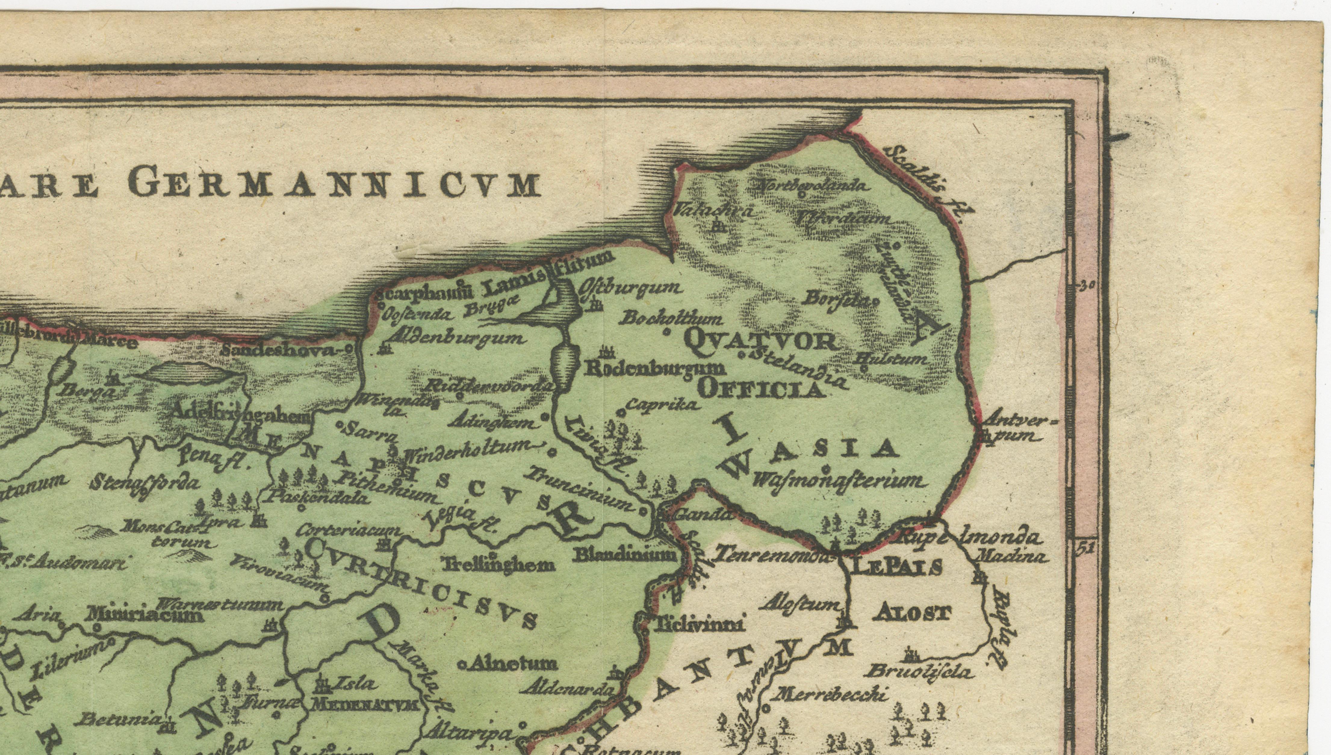
Condition: Very good overall with attractive age patina. Light age toning consistent with 17th-century paper. Folds as published. Minor handling wear typical for antique maps of this period; overall a clean and appealing impression.
Framing tips: Displays beautifully in a dark walnut or black frame with an ivory or warm-neutral mat to emphasize the fine engraving lines. A generous mat border of approximately 6–8 cm (2.5–3 inches) enhances the miniature format and creates a refined presentation suitable for both classic and contemporary interiors.
Technique: Copper engraving
Maker: Petrus Kaerius (Pieter van den Keere), Flemish/Dutch school, circa 1650