Antique Maps of United Kingdom & Ireland
205 original sheets
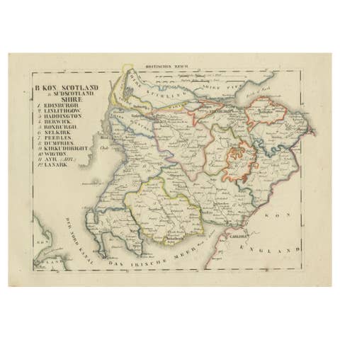
Antique 1830 Map of Southern Scotland with Edinburgh, Berwick, Ayr, and Dumfries
1830 · € 340
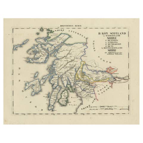
Antique 1830 Map of Scotland with Counties Renfrew, Stirling, Dumbarton and Bute
1830 · € 340
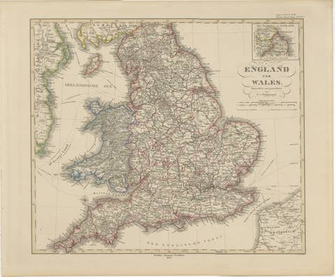
England & Wales in 1857 – Decorative Antique Map with Rail Routes
1857 · € 420

Antique Map of Britain & Ireland with North Sea Detail – 1856 Stülpnagel
1856 · € 420
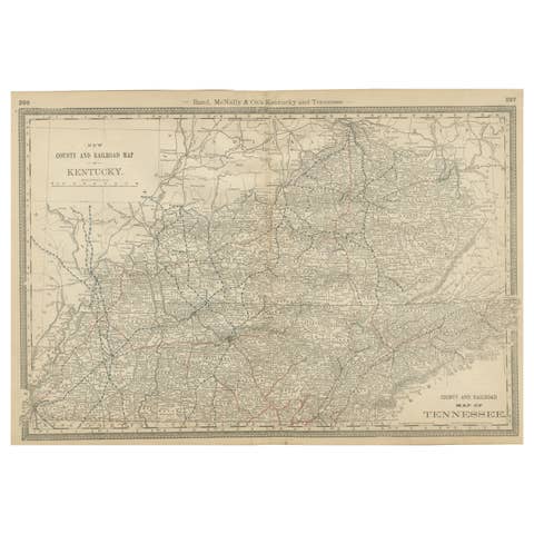
Antique Map of Kentucky & Tennessee – The Bluegrass & Volunteer States, 1888
1888 · € 460
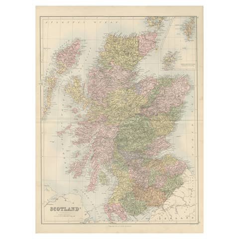
Antique Map of Scotland with Counties and Islands – Black’s Atlas, 1884
1884 · € 360
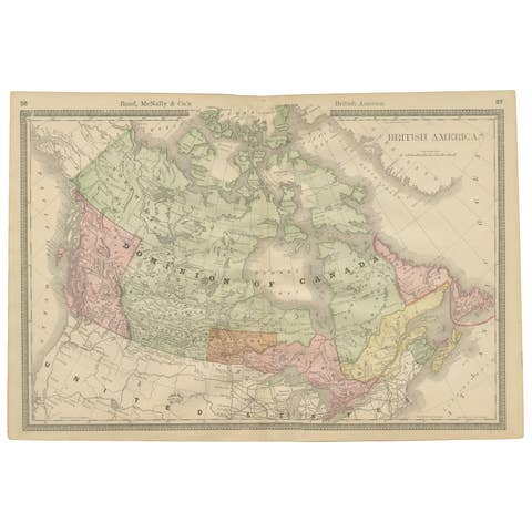
Canada Antique Railroad Map c.1888 – British America, Cities & Regions
1888 · € 460
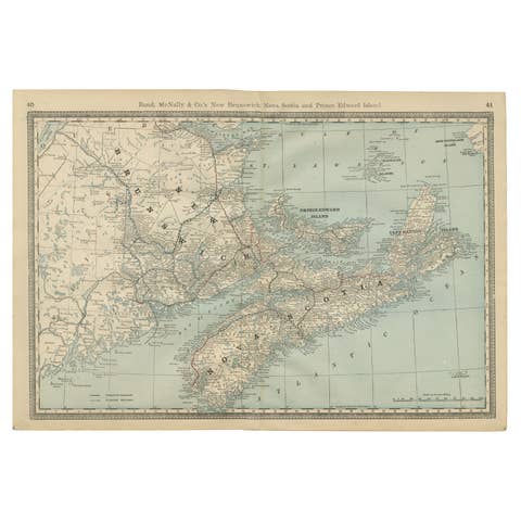
Nova Scotia, New Brunswick & Prince Edward Island Antique Map c.1888
1888 · € 460
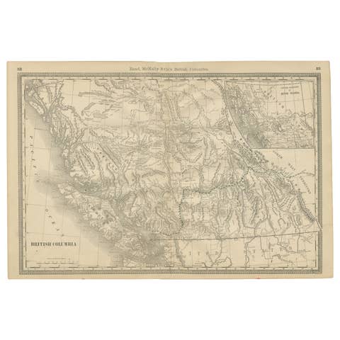
British Columbia 1888 Antique Map – Beautiful BC, Towns & Settlements
1888 · € 460
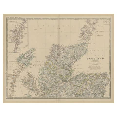
Antique Map of Northern Scotland by Johnston, 1882
1882 · € 105
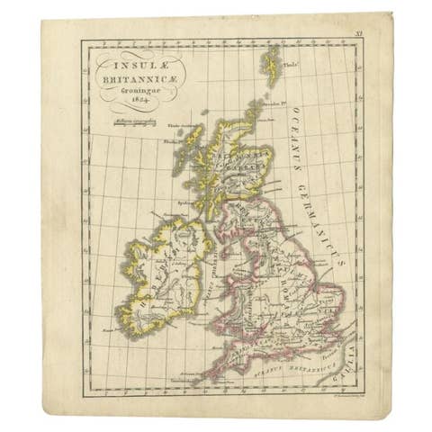
Antique Map of the United Kingdom and Ireland, circa 1825
1825 · € 140
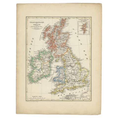
Antique Map of the United Kingdom and Ireland, 1852
1852 · € 130
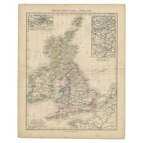
Antique Map of the United Kingdom and Ireland, c.1873
1873 · € 125
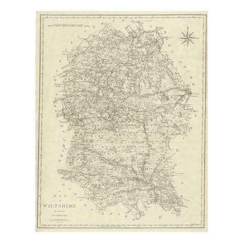
Antique Map of Wiltshire by John Cary, Engraved, England, 1805
1805 · € 230
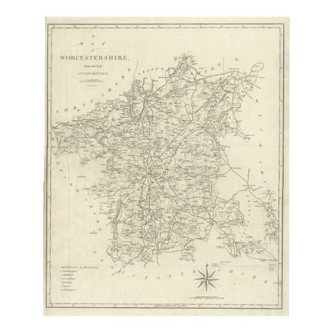
Antique Map Worcestershire England – John Cary County Map, Roads & Hundreds 1805
1805 · € 340
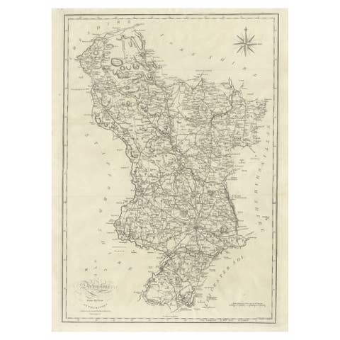
Large Antique County Map of Derbyshire, England, 1805
1805 · € 320
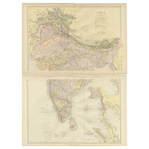
Cartographic Elegance: The British Raj's India, 1882 Atlas by Blackie and Son
1882 · € 340
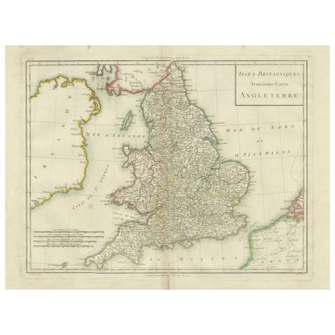
Map of England and Surrounding Regions: Early 19th Century - 1802 Tardieu Atlas
1802 · € 380
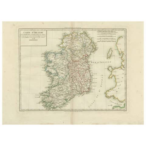
Map of Ireland: Early 19th Century - from the 1802 Tardieu Atlas
1802 · € 440
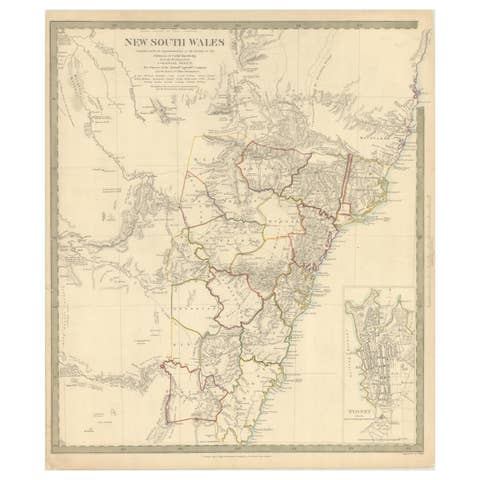
Detailed Map of New South Wales, Australia from 1833 by SDUK
1833 · € 560

1882 Map of Queensland, New South Wales, and Victoria with Detailed Features
1882 · € 250
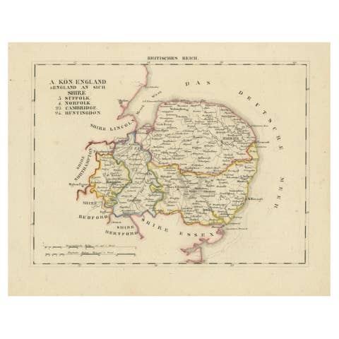
Antique 1830 Map of Eastern England with Suffolk, Norfolk Cambridge, Huntingdon
1830 · € 340

1830 Map of Northern England and Durham, Cumberland, Westmorland, Northumberland
1830 · € 340
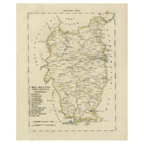
Antique 1830 Map of Leinster, Ireland with Dublin, Kilkenny, Wexford and Kildare
1830 · € 340
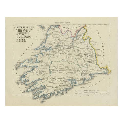
Antique 1830 Map of Munster, Ireland with Limerick, Cork, Kerry and Tipperary
1830 · € 340

Civil War Era Map of Kentucky and Tennessee with Scenic Insets, Published 1864
1864 · € 340
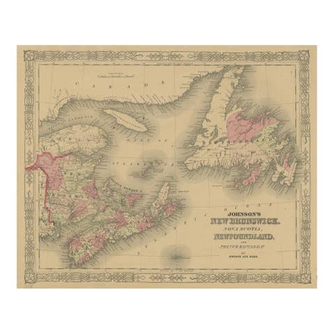
Johnson’s New Brunswick Nova Scotia Newfoundland Map, USA c.1864
1864 · € 220
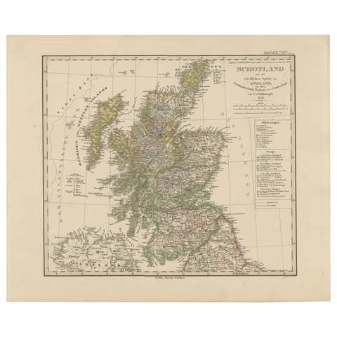
Scotland Map – Highlands, Islands, and Northern England 1858
1858 · € 340
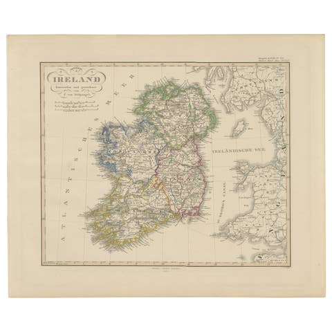
Ireland Map – Provincial and County Divisions 1851
1851 · € 340
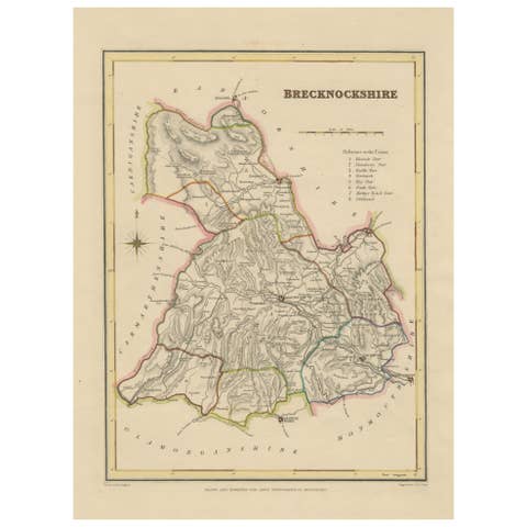
Antique map of Brecknockshire, Wales by Creighton & Walker, c.1831–1840
1831 · € 220
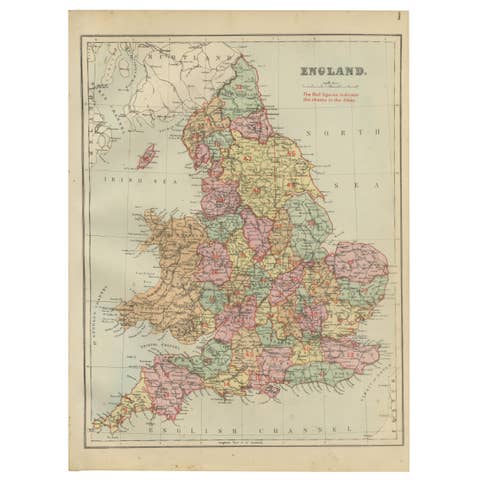
Antique Map of England, 1885 – County Colors, Railways & British Heritage
1885 · € 200
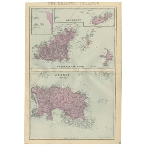
Channel Islands Map, Jersey Guernsey Alderney Sark, Bacon London, 1885
1885 · € 220
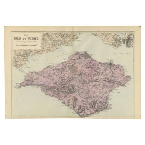
Isle of Wight Map, Ordnance Survey Style, Bacon London, 1885
1885 · € 315
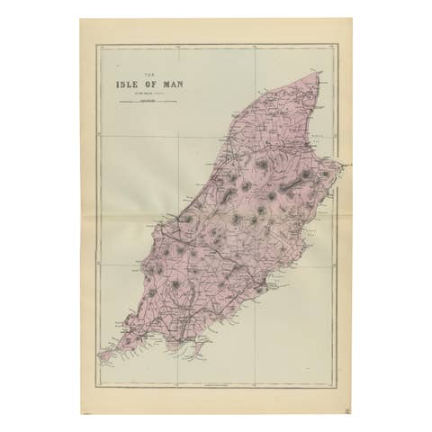
Isle of Man Map, Ordnance Survey Style, Bacon London, 1885
1885 · € 297
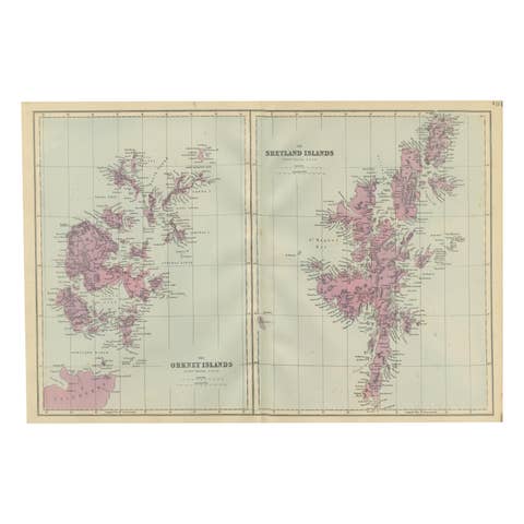
Orkney and Shetland Islands Map, Ordnance Survey, Bacon London 1885
1885 · € 260
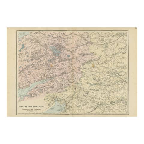
Lakes of Killarney Map, County Kerry Ireland, Bacon London, 1885
1885 · € 260
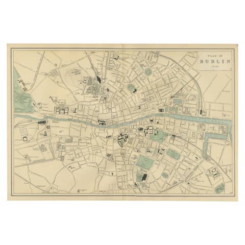
Plan of Dublin – Large Scale Victorian City Map, G.Bacon, Ordnance Atlas, 1885
1885 · € 340
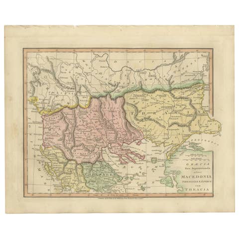
Ancient Macedonia & Thrace Map — Classical Greece, Wilkinson London 1819
1819 · € 340
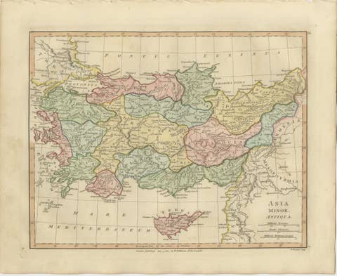
Ancient Asia Minor Map — Classical Anatolia & Pontus, Wilkinson London 1815
1815 · € 319
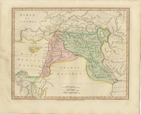
Ancient Syria & Assyria Map — Biblical Near East, Wilkinson London 1815
1815 · € 280
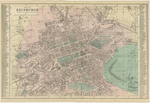
Antique Edinburgh City Map 1885, Victorian Ordnance Atlas Plan by G.W. Bacon
1885 · € 369
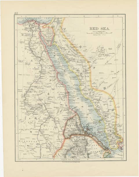
Red Sea Map by W. & A.K. Johnston, Edinburgh & London, c.1895
1895 · € 295
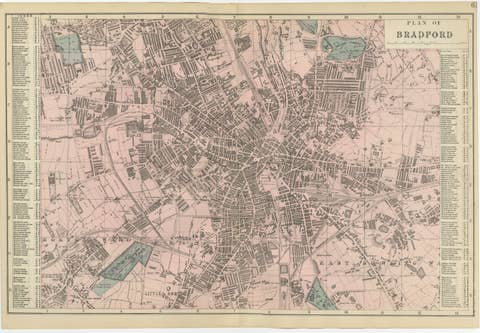
Victorian Bradford Street Plan Map – Edward Weller 1885, Wool Capital
1885 · € 339
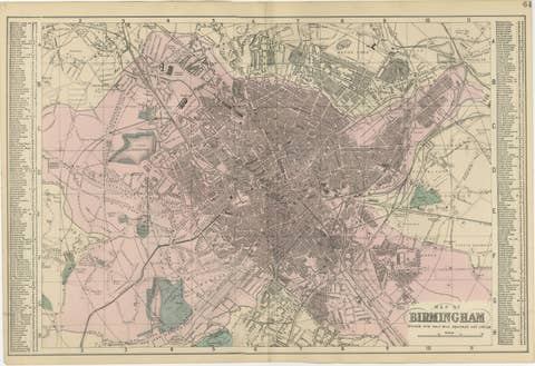
Victorian Birmingham City Plan Map – Edward Weller 1885, Workshop of the World
1885 · € 339
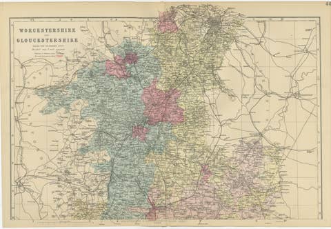
Worcestershire & Gloucestershire County Map – Weller, Victorian England 1885
1885 · € 329
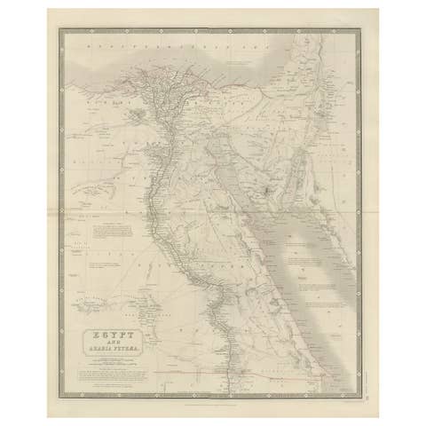
Egypt & Arabia Petraea – Large Nile Map, British Cartography, c.1815
1815 · € 840
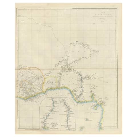
Antique Niger River Map, Arrowsmith, British Expedition under Trotter, 1855
1855 · € 1 260
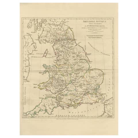
Antique Map of Ancient Britain – Roman England, Wales & Scotland, c.1818
1818 · € 990