Maps & PrintsBartele Gallery · Langweer
Home / Antique Maps / Europe / Western Europe / United Kingdom & Ireland

United Kingdom & Ireland · 19th century

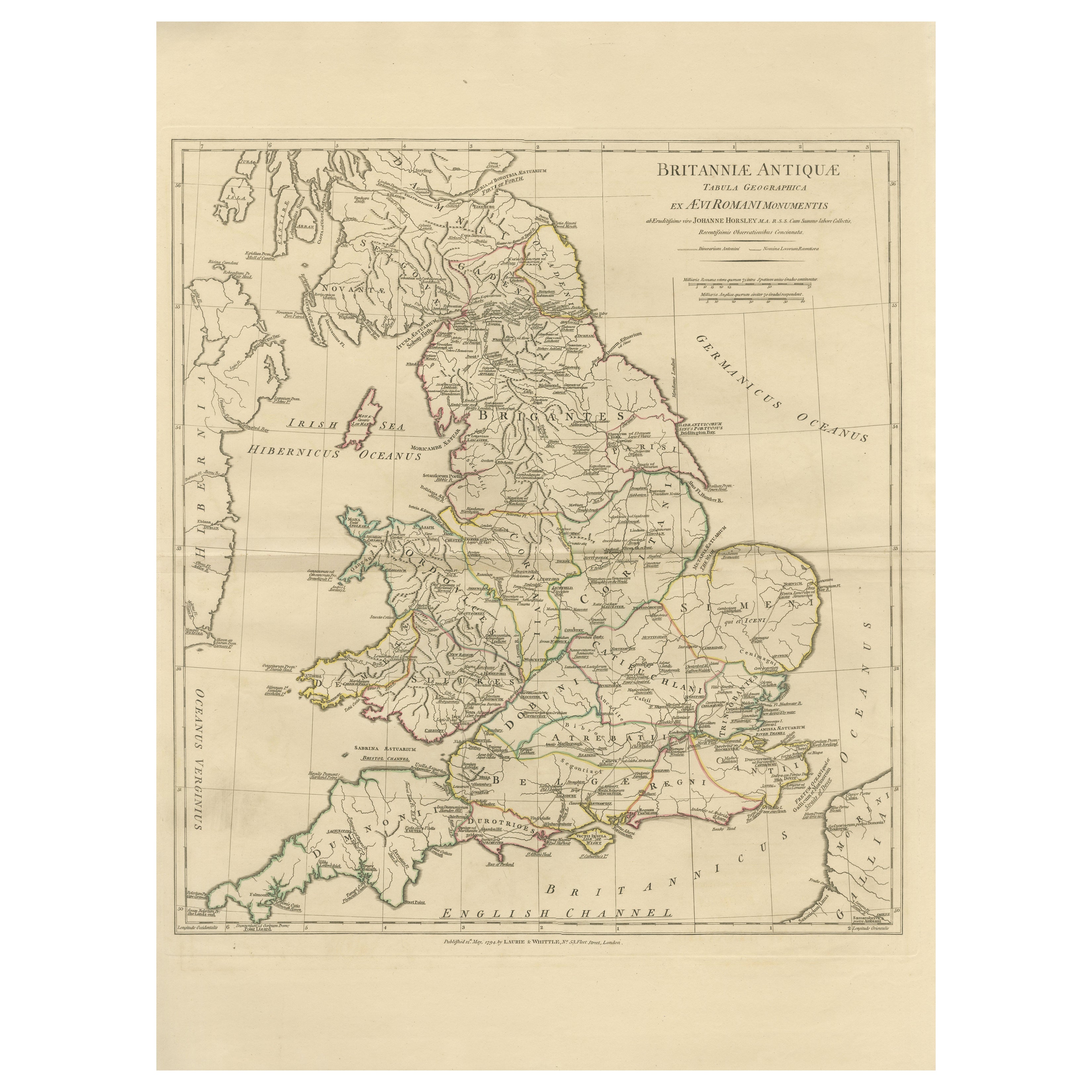
Antique Map of Ancient Britain – Roman England, Wales & Scotland, c.1818

€ 990

Original antique · The actual sheet photographed · Certificate of authenticity on request · Sold unframed · Worldwide shipping from € 15 (rates)

Date
1818
Mapmaker / artist
Jean-Baptiste Bourguignon d’Anville (after), published by Laurie & Whittle, London, circa 1818
Technique
Engraving with original outline color
Sheet size
72.5 × 54.5 cm (28.5 × 21.5 in)
Condition
Good
Reference
BG-14227-4-10
What the condition grades mean
Excellent
Bright and clean, with no faults worth mentioning.
Very good
Only light signs of age, such as faint toning.
Good
Normal signs of age for a sheet of this period: toning, some foxing, small marks or neat old repairs.
Fair
Clear faults such as staining, tears or repairs, priced to match.

Every fault we see is written in the condition note, and the whole sheet is shown uncropped in the photos.

Condition

Good antique condition with light, even toning and gentle age-related wear consistent with age. Original outline color remains clear and balanced. Central fold as issued. No major tears, losses, or repairs observed.

About this sheet

Antique Map of Ancient Britain – Roman England, Wales & Scotland, c.1818

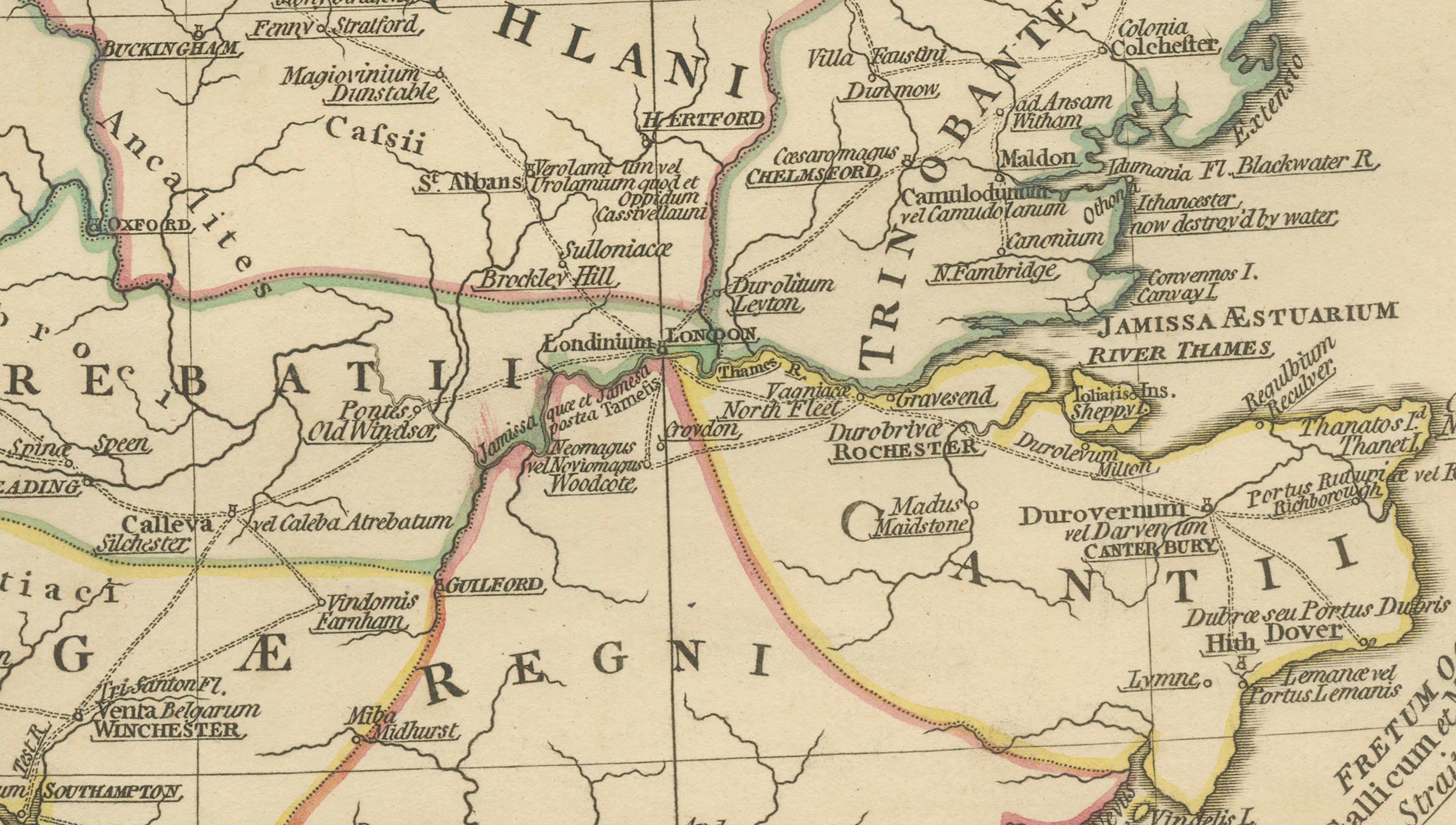
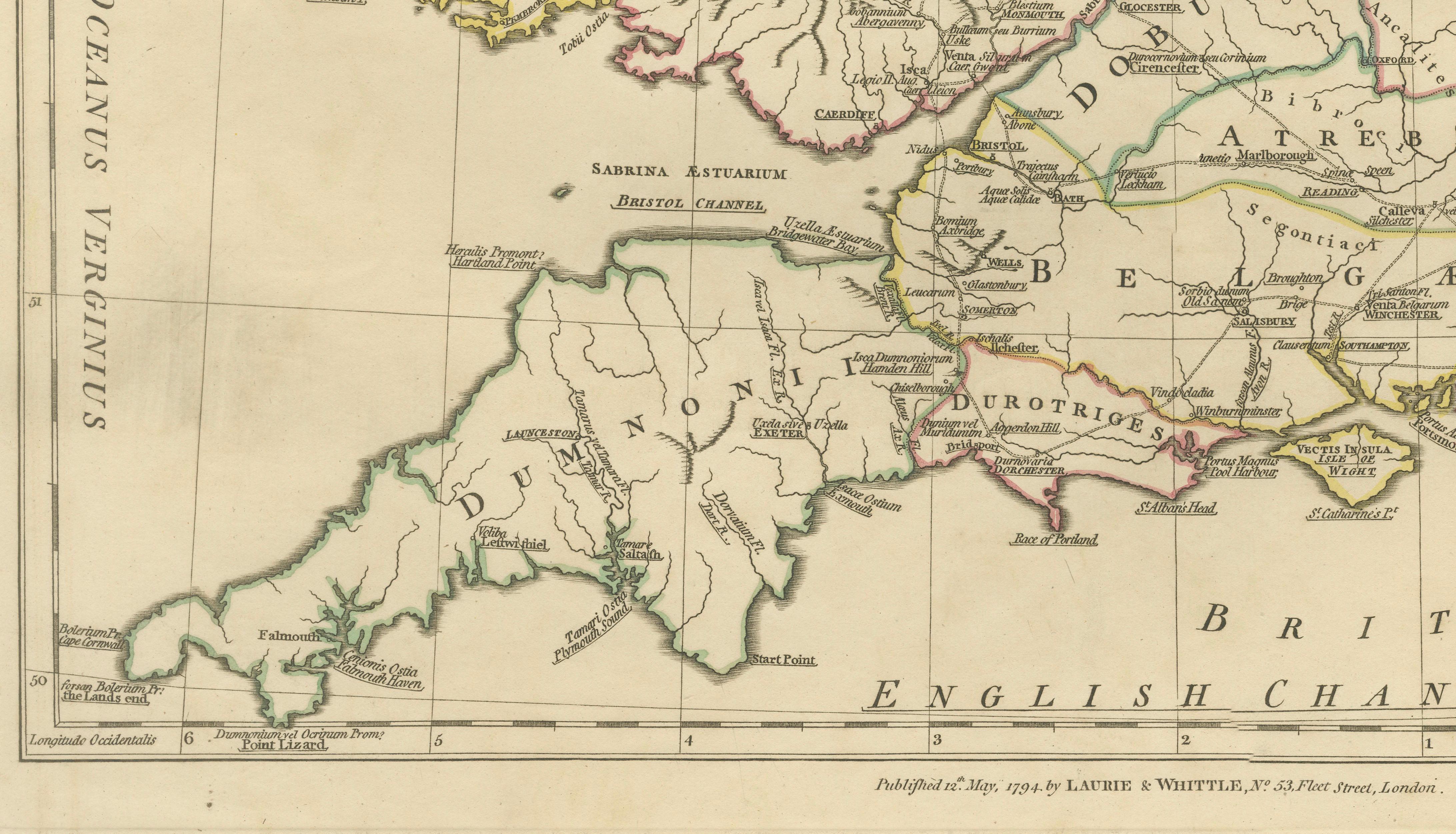
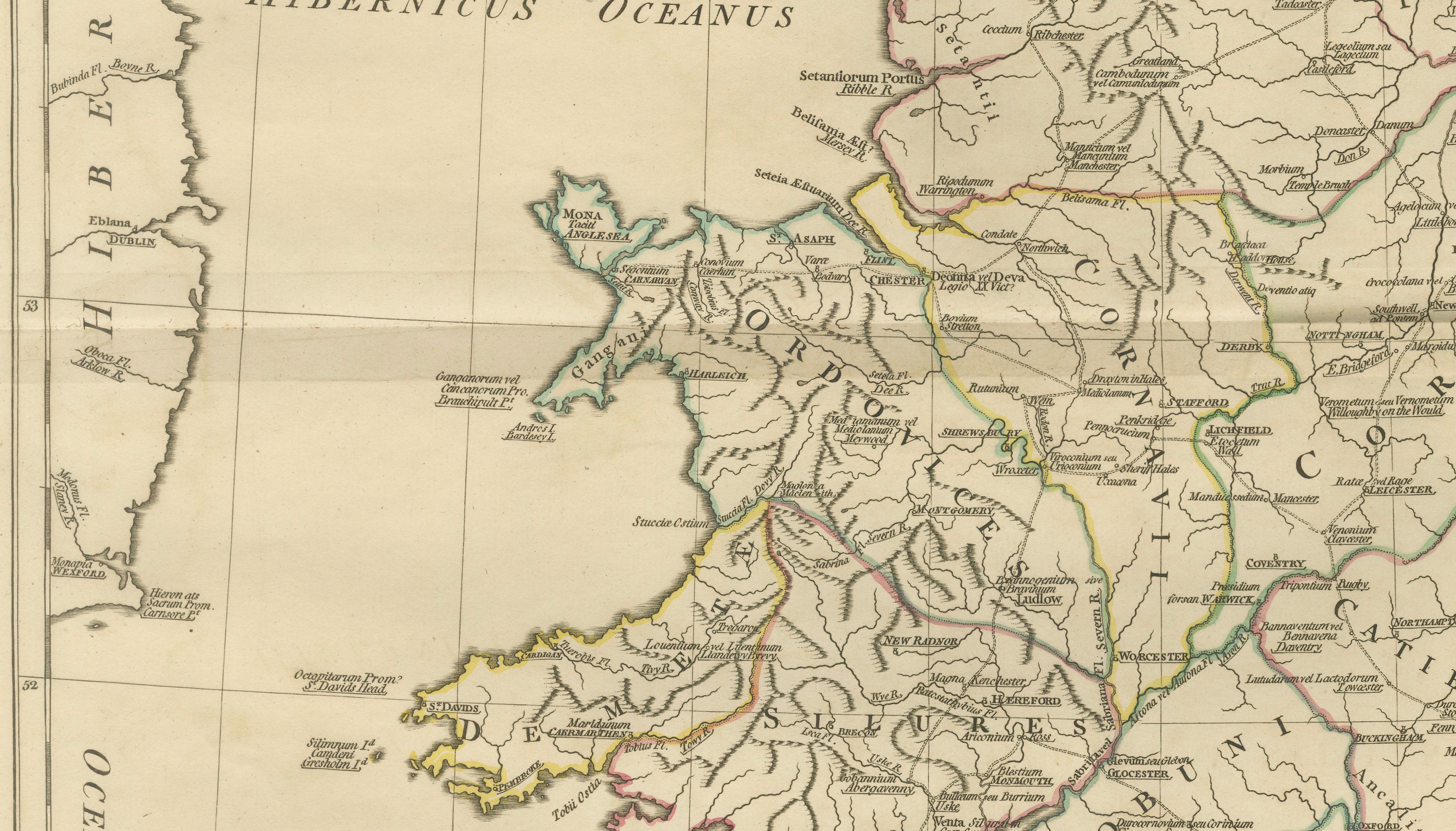
Elegant antique map depicting ancient Britain under Roman rule, covering England, Wales, southern Scotland, and the adjacent coastlines of Ireland and the North Sea. The map presents Roman provinces, tribal regions, cities, roads, rivers, and coastlines in fine engraved detail, highlighted with subtle original outline color.

The composition is calm yet visually engaging, with the island form of Britain clearly articulated and balanced across the sheet. Latin place names, tribal territories, and Roman administrative divisions give the map strong historical depth, while the restrained engraving and warm parchment tone create a refined, architectural presence ideally suited to modern interiors.

The map is based on the work of Jean-Baptiste Bourguignon d’Anville, whose reconstructions of the ancient world established the foundations of modern historical cartography. D’Anville rejected speculative geography in favor of critical analysis of Roman itineraries, classical texts, and geographic evidence, producing maps valued for accuracy, clarity, and enduring scholarly authority.

This example is the English edition published in London by Laurie & Whittle, issued circa 1818 and bound in the atlas A Complete Body of Ancient Geography. Produced during the neoclassical period, the map reflects early nineteenth-century taste for balance, order, and historical precision.

The neutral palette, crisp engraving, and generous margins make this map particularly effective as wall art in libraries, studies, boardrooms, and hospitality interiors. It pairs beautifully with companion maps of Roman Gaul, Italy, and the Roman World from the same series.

A timeless and highly decorative representation of Roman Britain, combining classical scholarship with strong interior presence.

Condition report:
Good antique condition with light, even toning and gentle age-related wear consistent with age. Original outline color remains clear and balanced. Central fold as issued. No major tears, losses, or repairs observed.

Framing tips:
Best presented in a dark walnut, blackened oak, or ebonized frame with a wide ivory or soft parchment mat. Museum or UV glass recommended. Particularly effective when displayed as part of a Roman Europe or classical map grouping.

More from United Kingdom & Ireland

Ask about this sheet

Antique Map of Ancient Britain – Roman England, Wales & Scotland, c.1818
1818 · Ref. BG-14227-4-10 · € 990
We reply by email, usually within one working day.

Your favorites

Saved in this browser. Email the list to yourself to keep it on any device.

We use your email to send this list and, only if you tick the box and confirm, for occasional new arrivals. Every email has an unsubscribe link. Bartele Gallery, the Netherlands.