About this sheet
Antique Niger River Map, Arrowsmith, British Expedition under Trotter, 1855
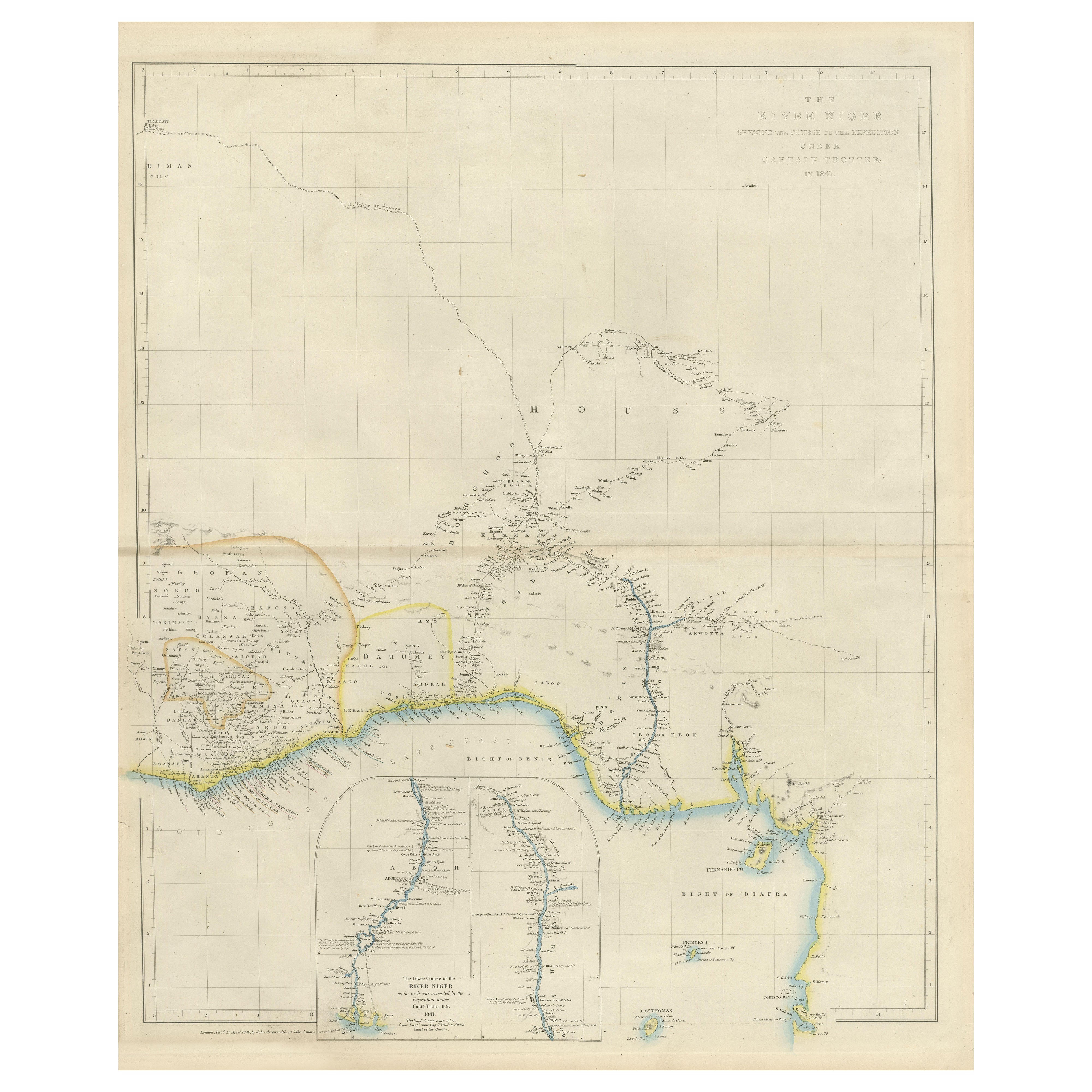
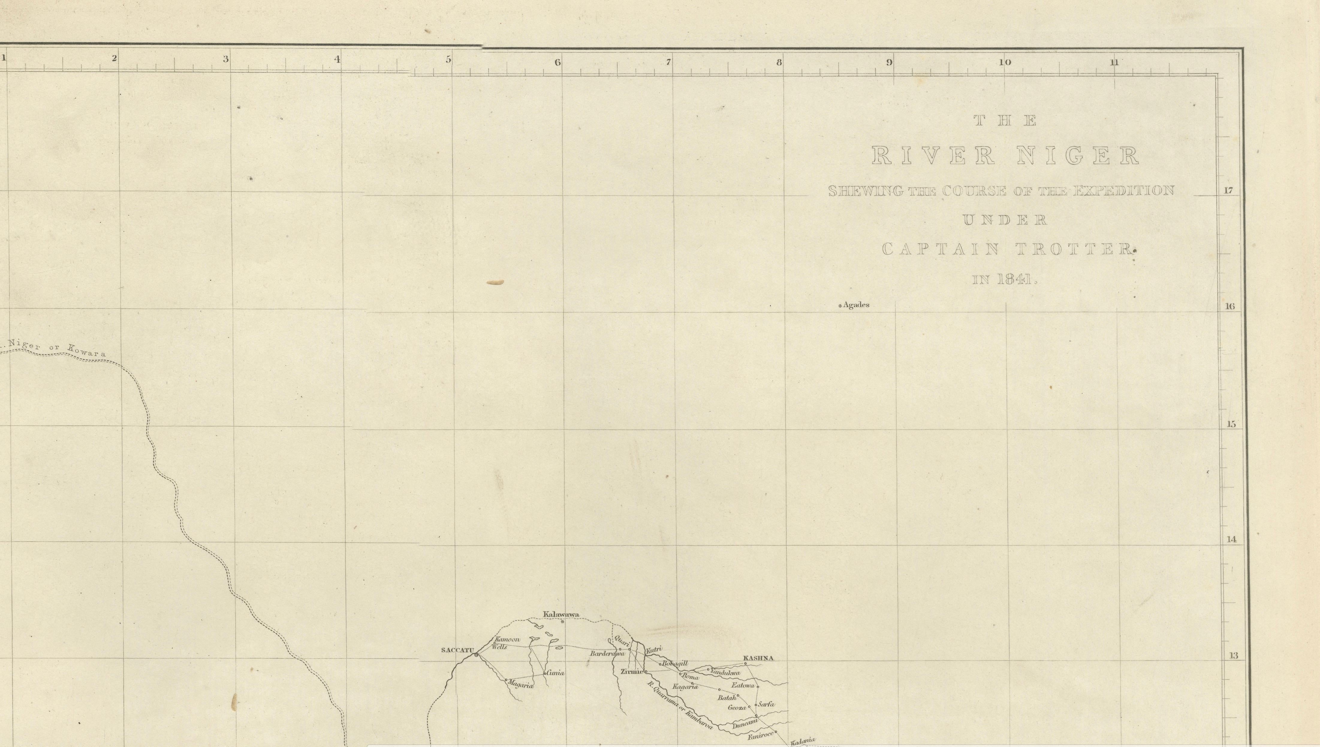
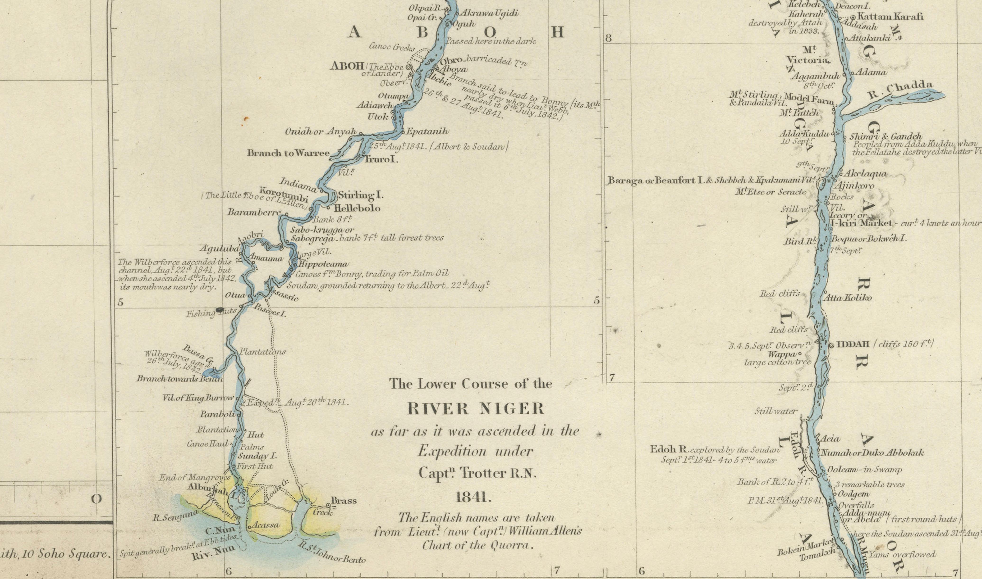
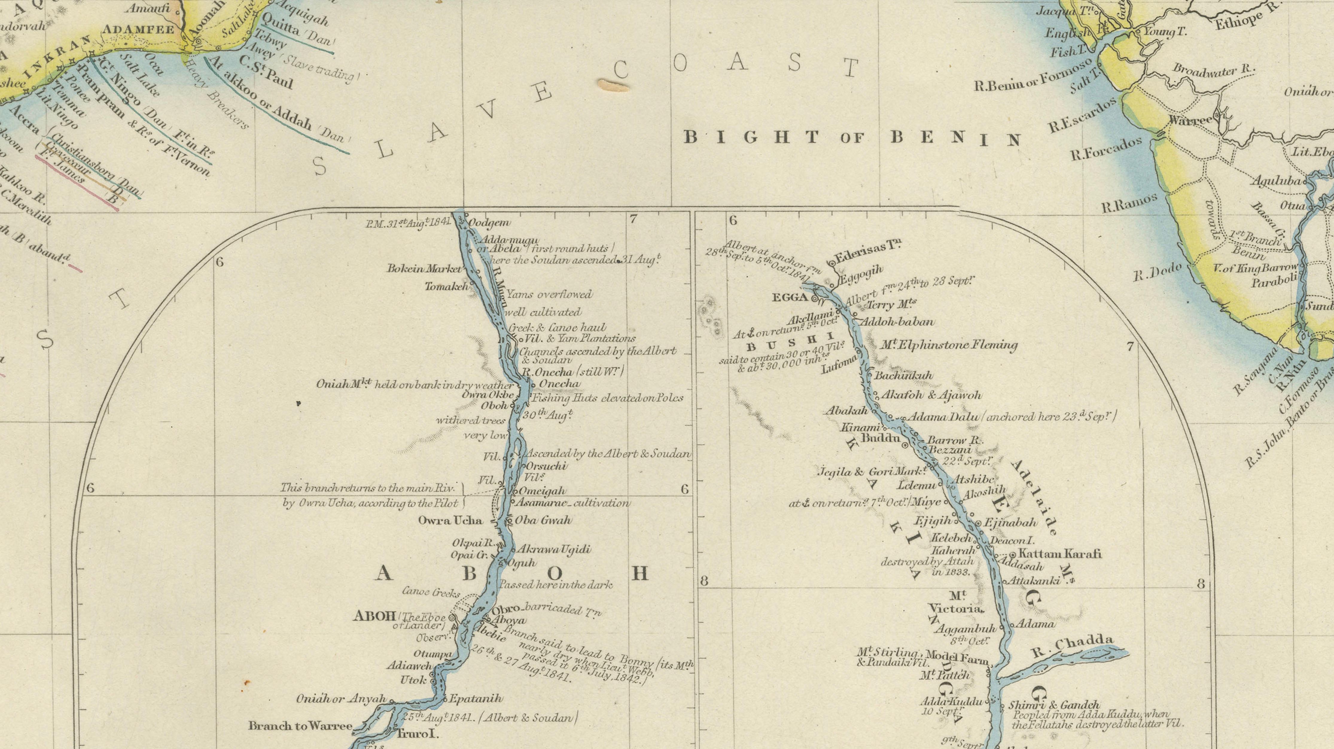
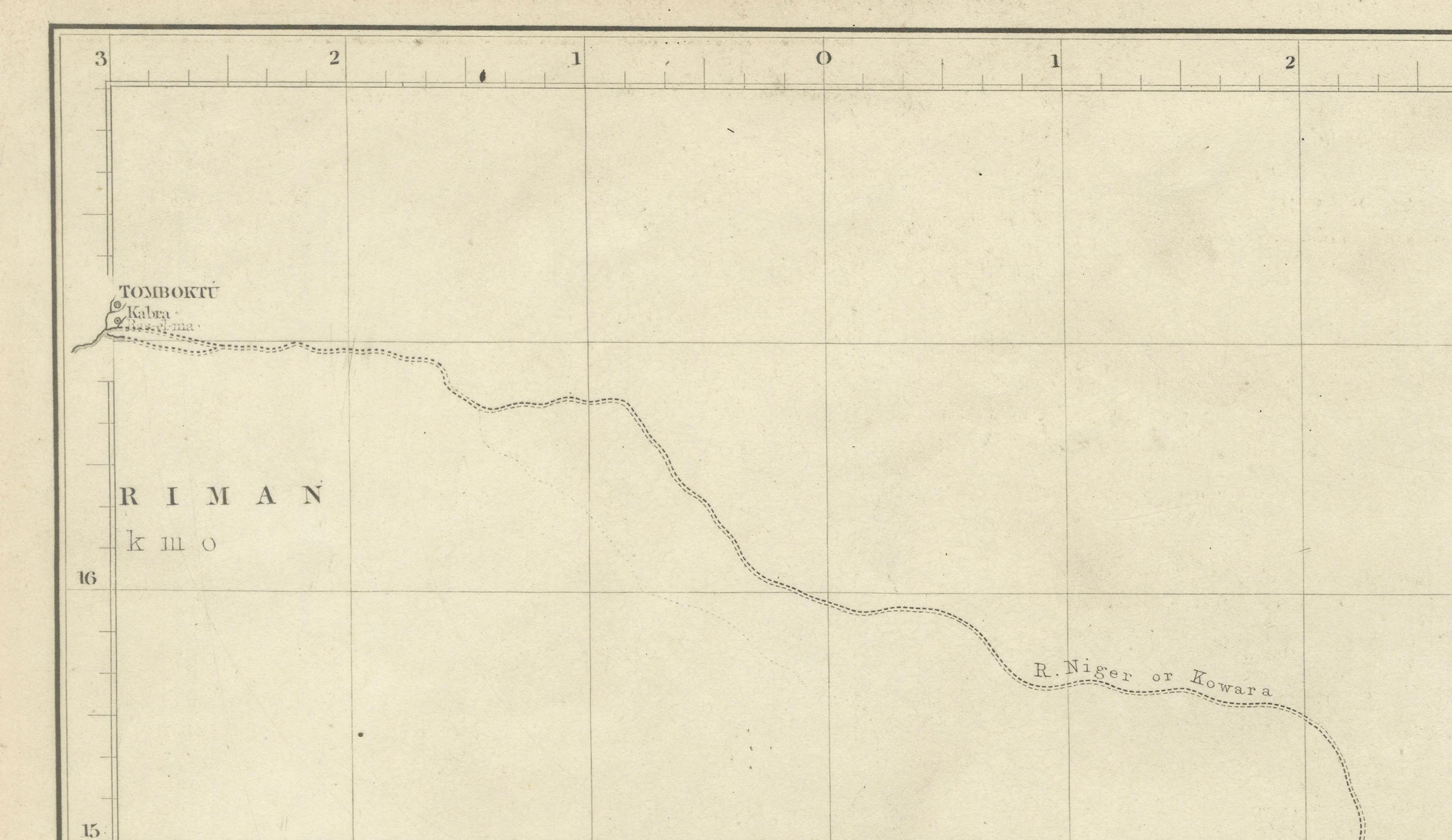
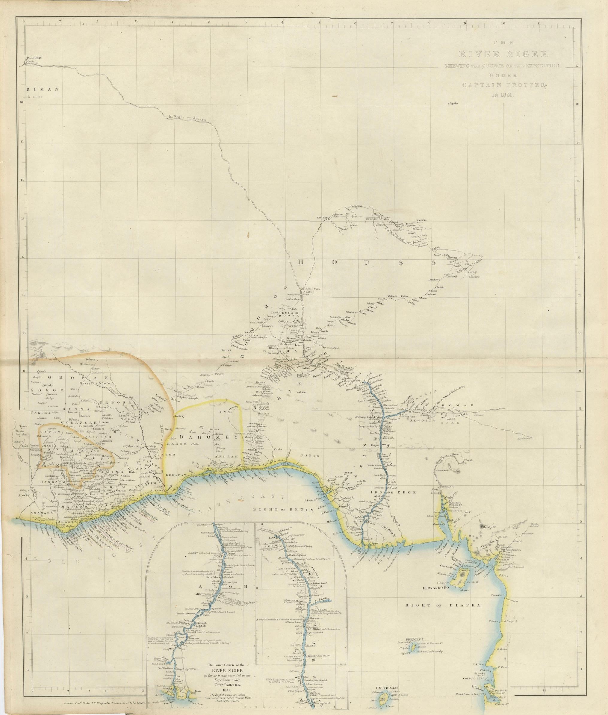
This large and finely detailed mid-19th century map charts the course of the River Niger, illustrating the route of the British expedition undertaken in 1841 under the command of Henry Dundas Trotter and published in London in 1855 by John Arrowsmith, one of the most important British mapmakers of the period. The map records the expedition sponsored by the Society for the Extinction of the Slave Trade, an ambitious humanitarian and political initiative intended to suppress the trans-African slave trade through diplomacy and exploration.
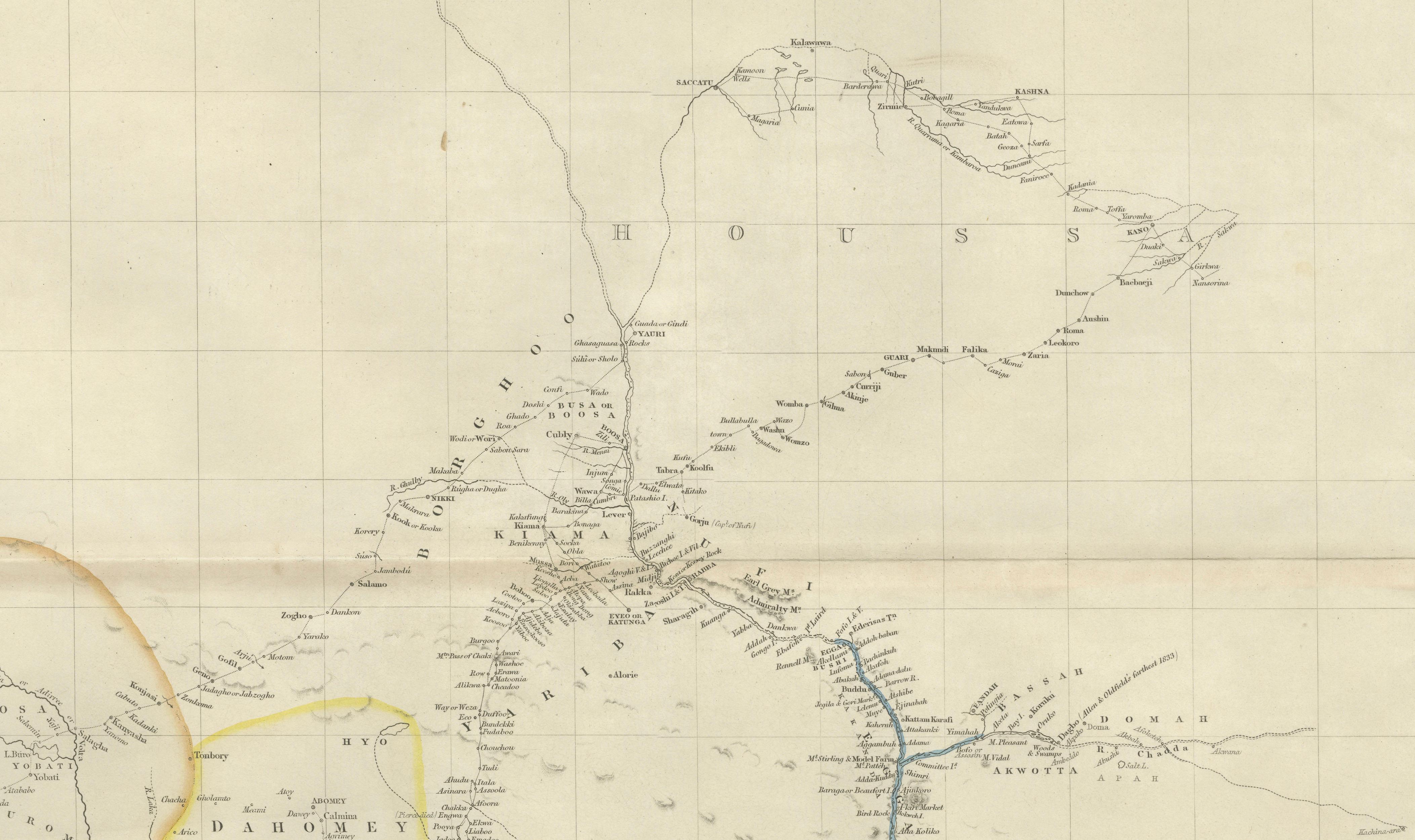
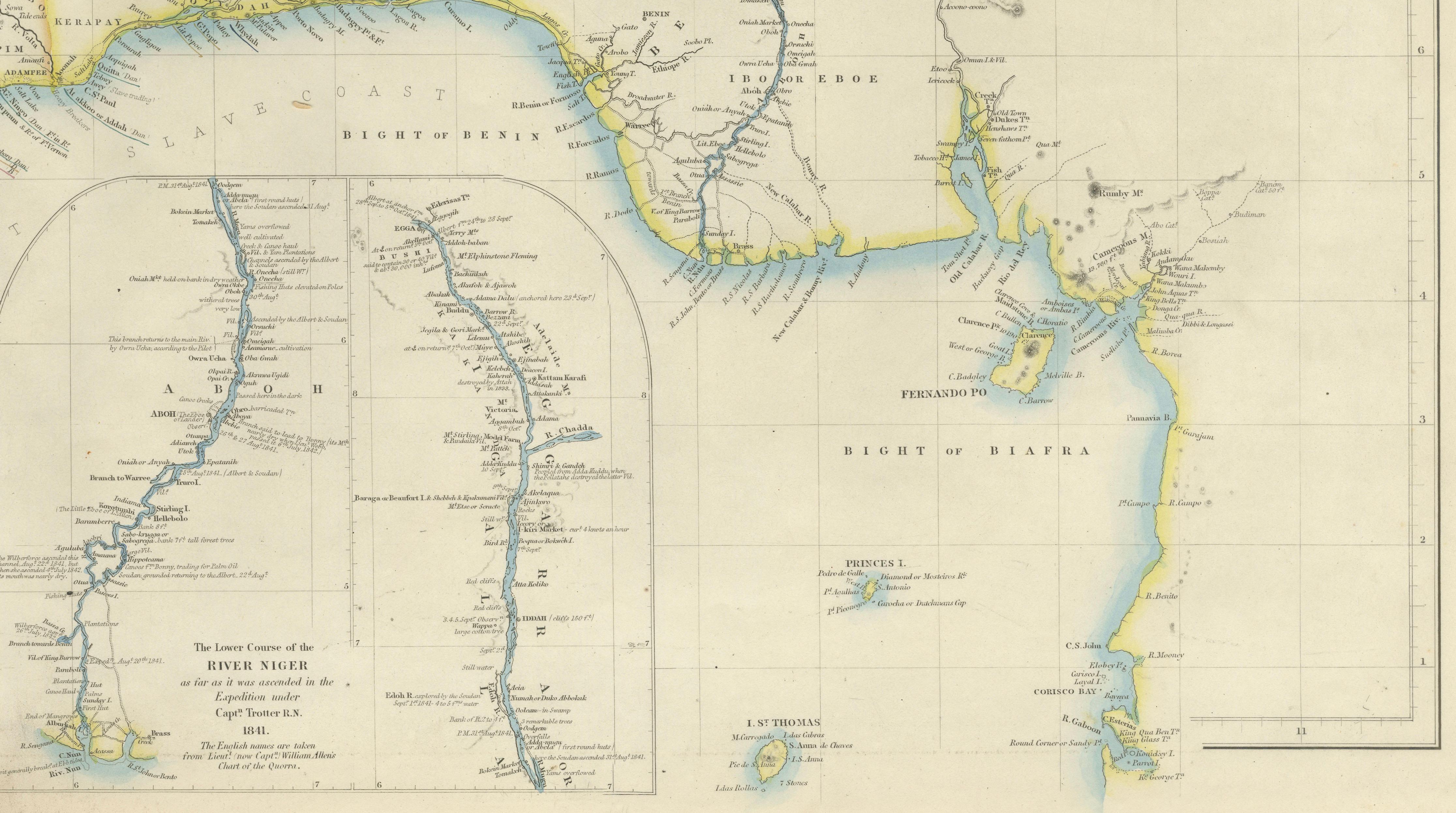
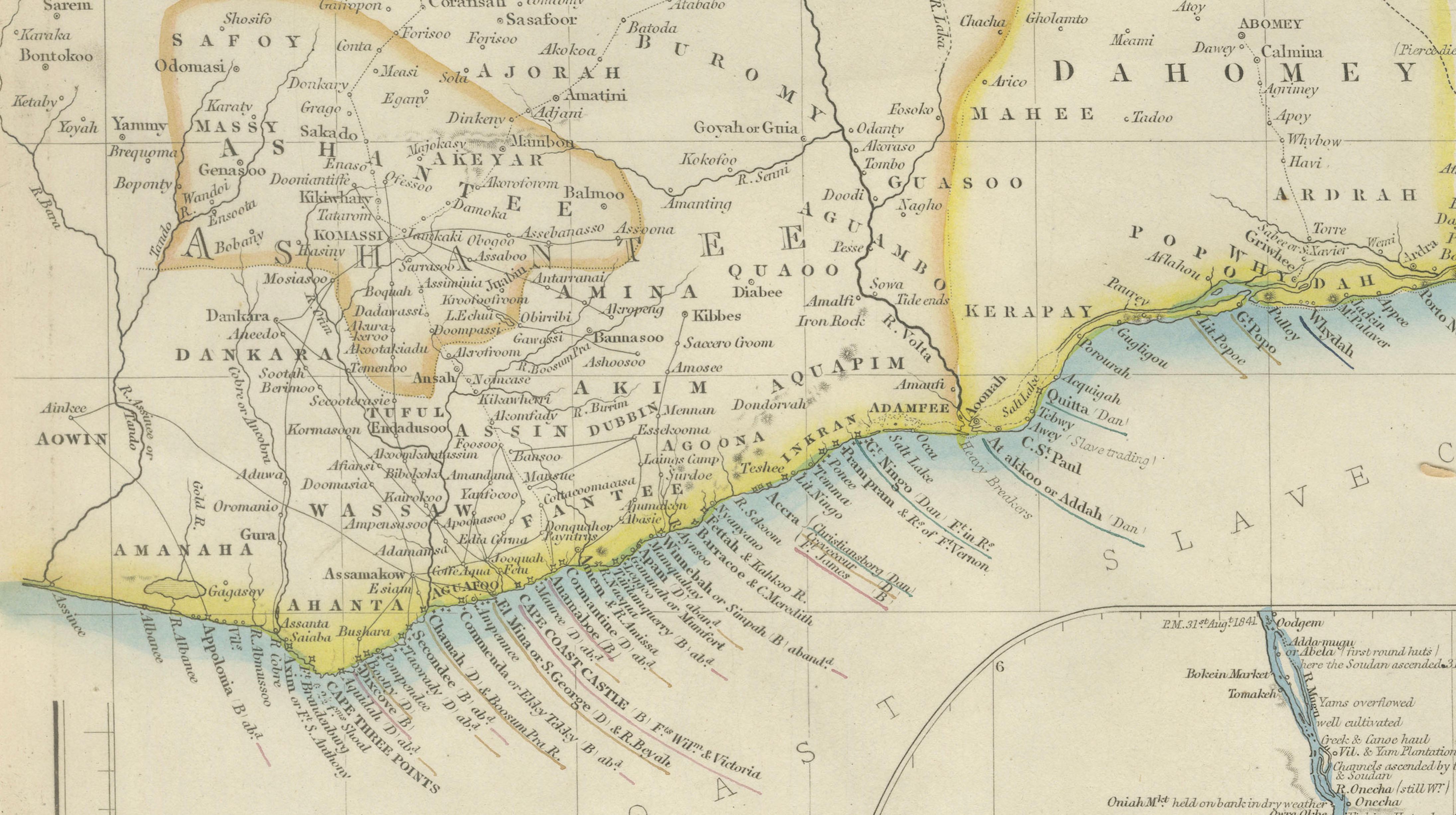
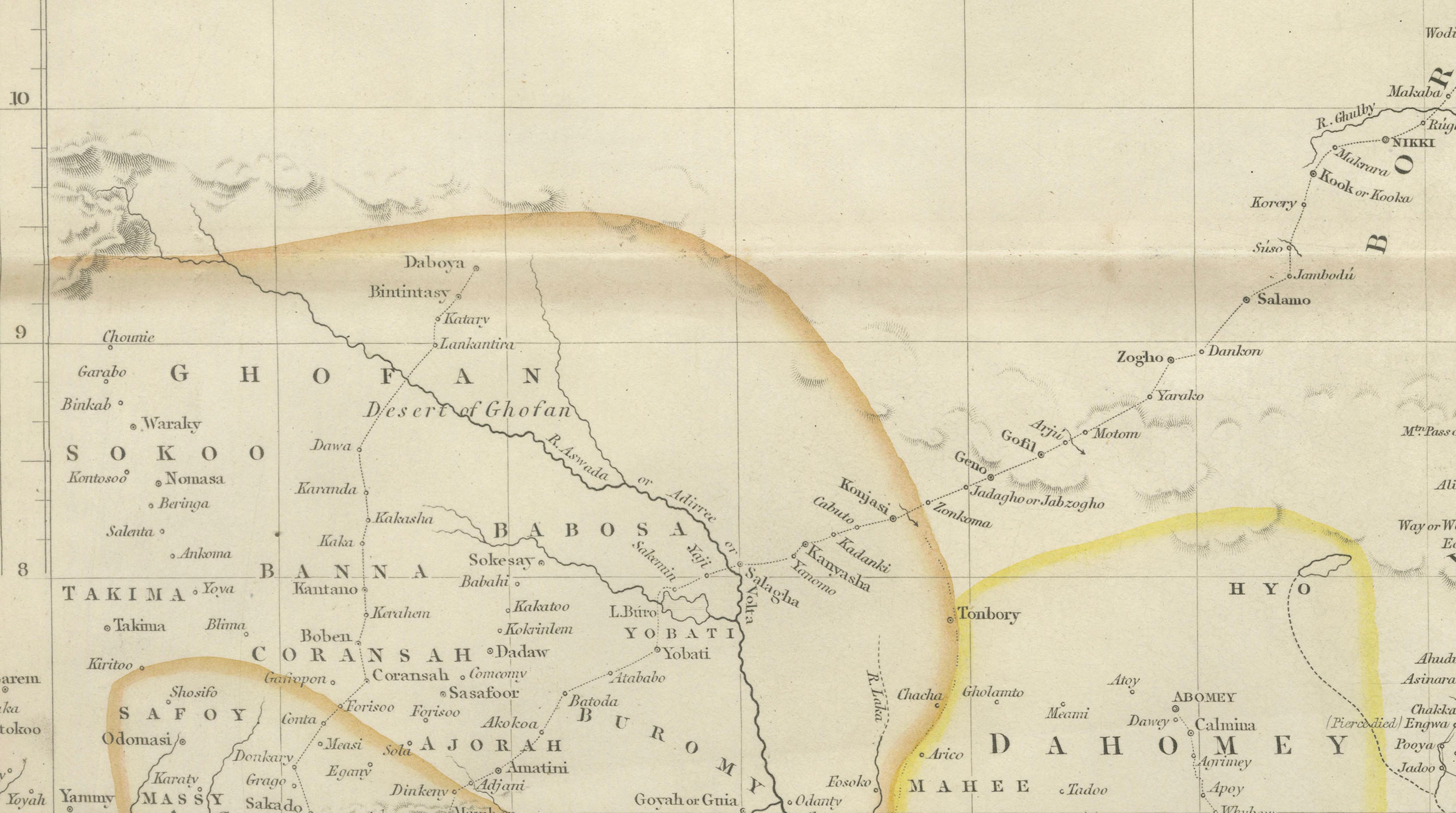
The map traces the Niger from its lower delta through the interior, with extensive coastal detail along the Bight of Benin and carefully plotted inland river systems. Contemporary outline color highlights the coastline and river courses, while the interior is rendered with restrained precision, reflecting the cautious geographical knowledge of West Africa at the time. Place names, tribal regions, and river tributaries are recorded according to firsthand expeditionary observations, making this both a cartographic and documentary artifact.
Trotter’s expedition included a delegation of British officers, among them William Allen, whose later writings provide crucial context for the map. The journey was plagued by severe outbreaks of fever once the party reached Iddah, leading to catastrophic losses among the crew. Despite determined efforts to push upriver, the expedition was forced to abandon further progress by August 1841. Although widely regarded as a logistical failure, Allen later emphasized the partial success of the mission through treaties concluded with influential local rulers aimed at curbing the slave trade.
Allen subsequently published his account in A Narrative of the Expedition Sent by H.M.’s Government to the River Niger in 1841, positioning the expedition as a moral endeavor undertaken “for nobler ends than the acquisition of wealth.” This map stands as a powerful visual counterpart to that narrative, embodying the intersection of exploration, humanitarian ambition, and imperial policy in Victorian Britain.
An inset at the lower portion of the map shows the lower course of the River Niger as far as it was ascended during the expedition, reinforcing its documentary purpose. The restrained aesthetic, large format, and historical significance make this map particularly appealing to collectors of African exploration, abolitionist history, and British imperial cartography.
Condition report
Very good plus condition. Light overall toning consistent with age. Minor spotting and faint offsetting visible in places. Original folds flattened. No major tears or losses. Margins ample.
Framing tips
This map presents exceptionally well in a wide, museum-style frame. A dark wood or ebonized frame with a soft off-white or warm ivory mat will emphasize the scale and subtle coloration, while a glazed presentation with UV-protective glass is recommended for preservation.
Technique: Engraved map with contemporary outline color
Maker: John Arrowsmith, London, 1855