About this sheet
Egypt & Arabia Petraea – Large Nile Map, British Cartography, c.1815
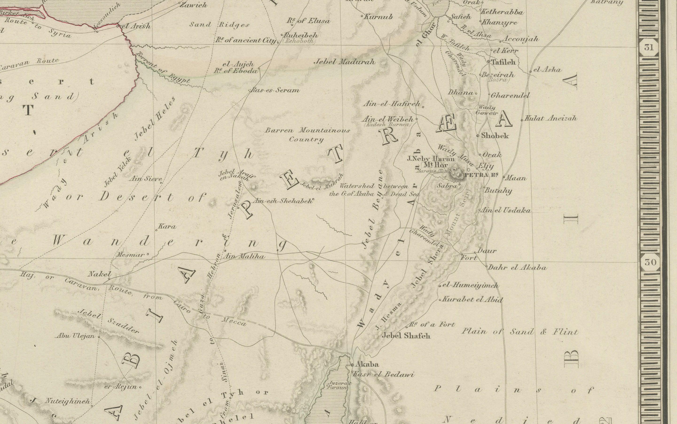
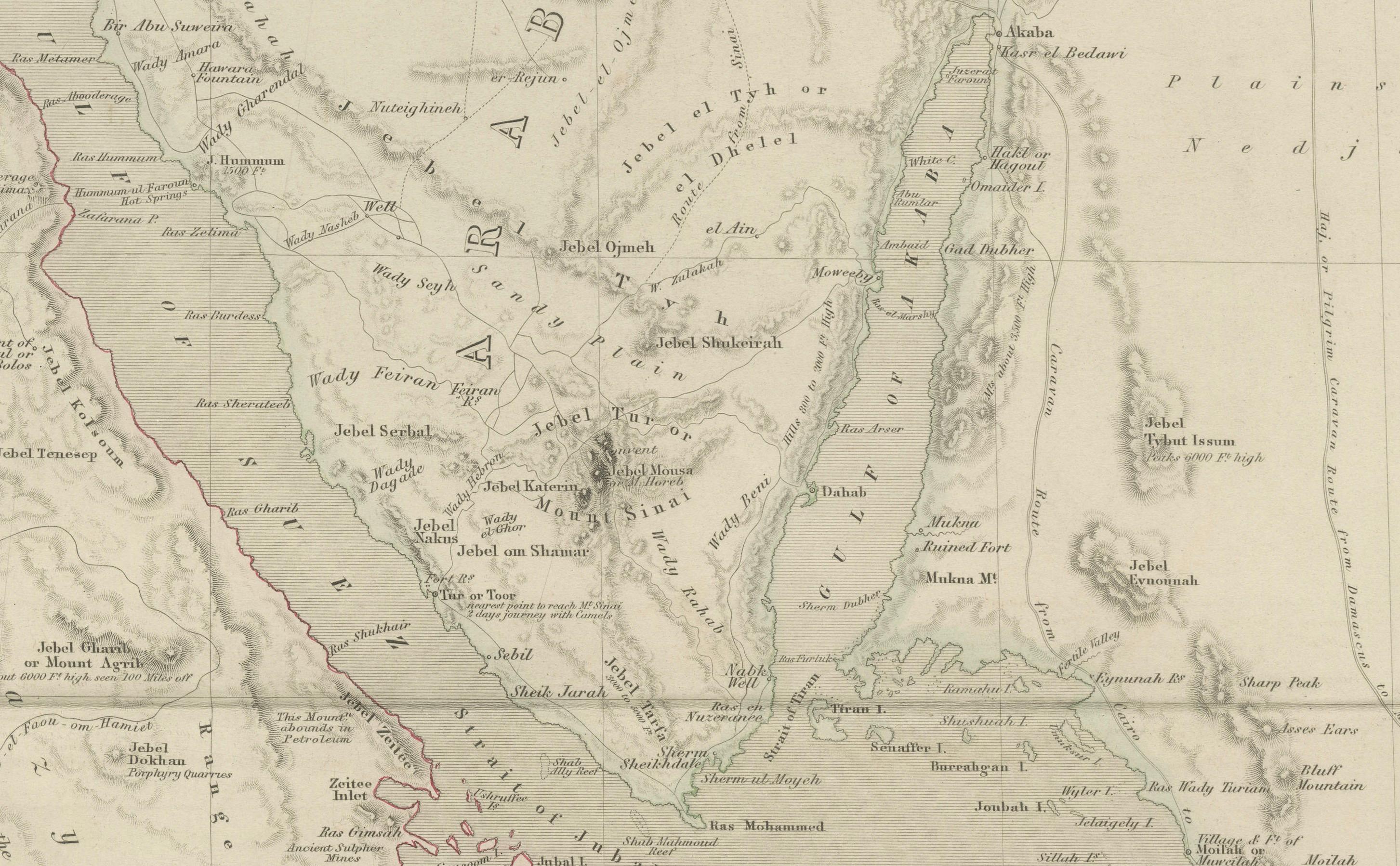
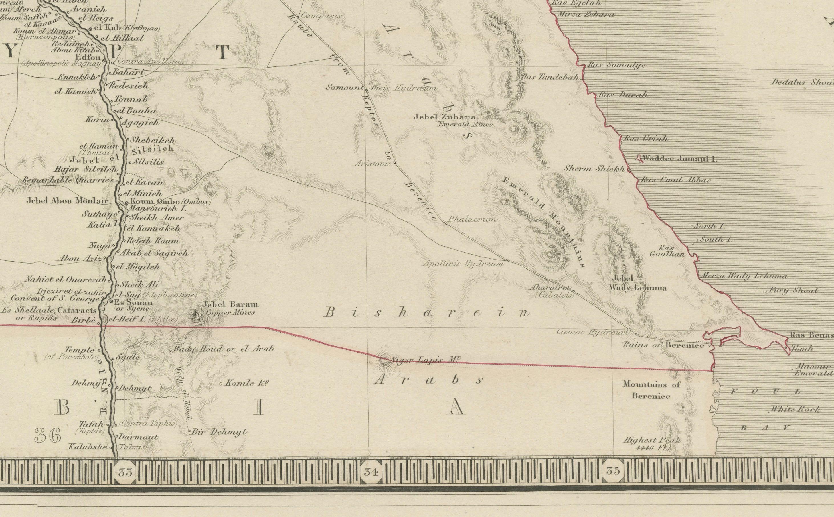
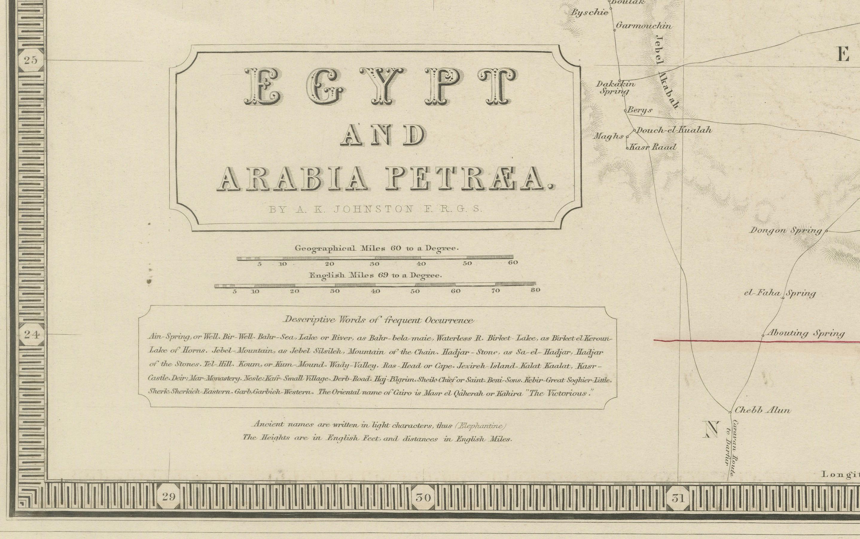
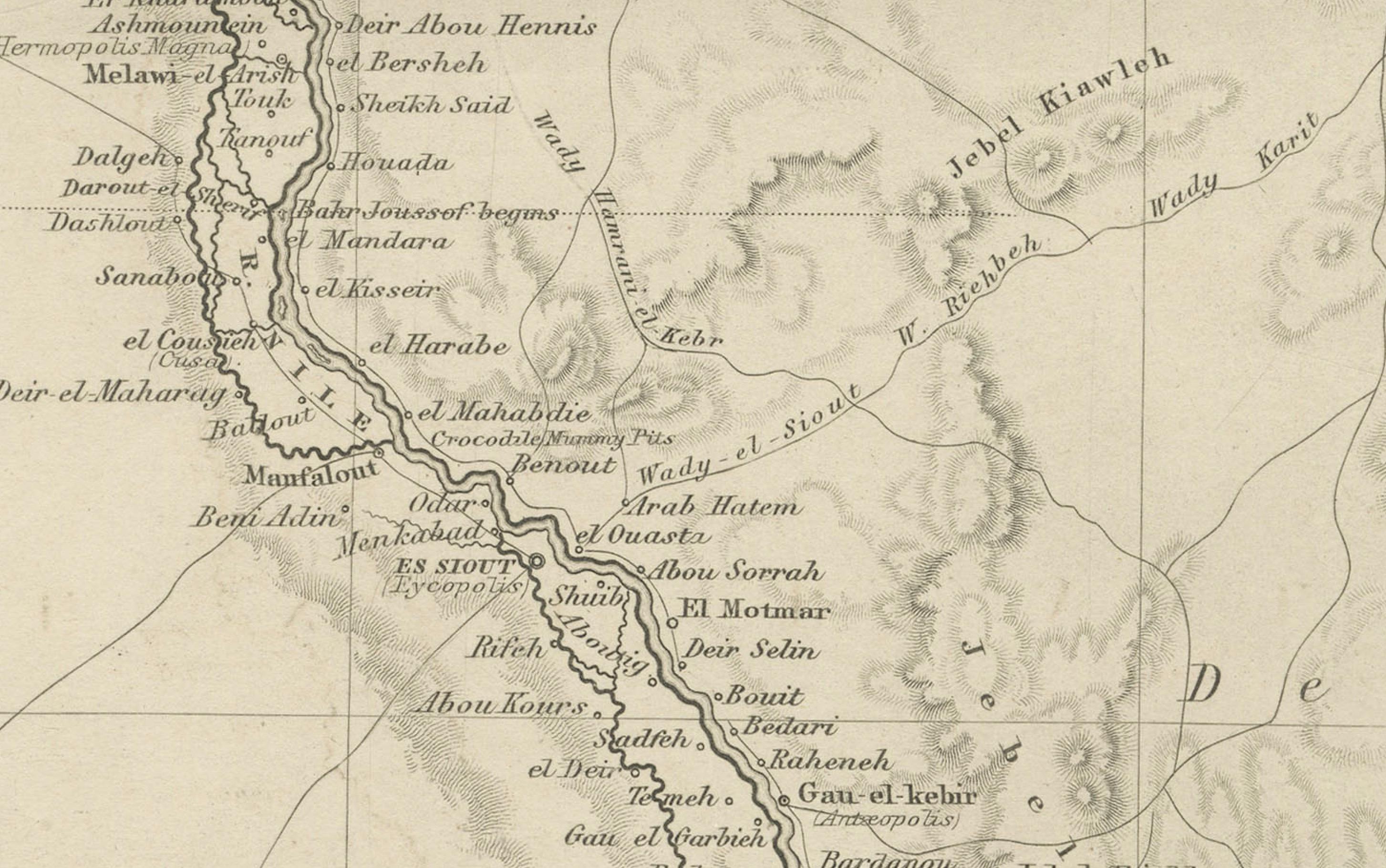
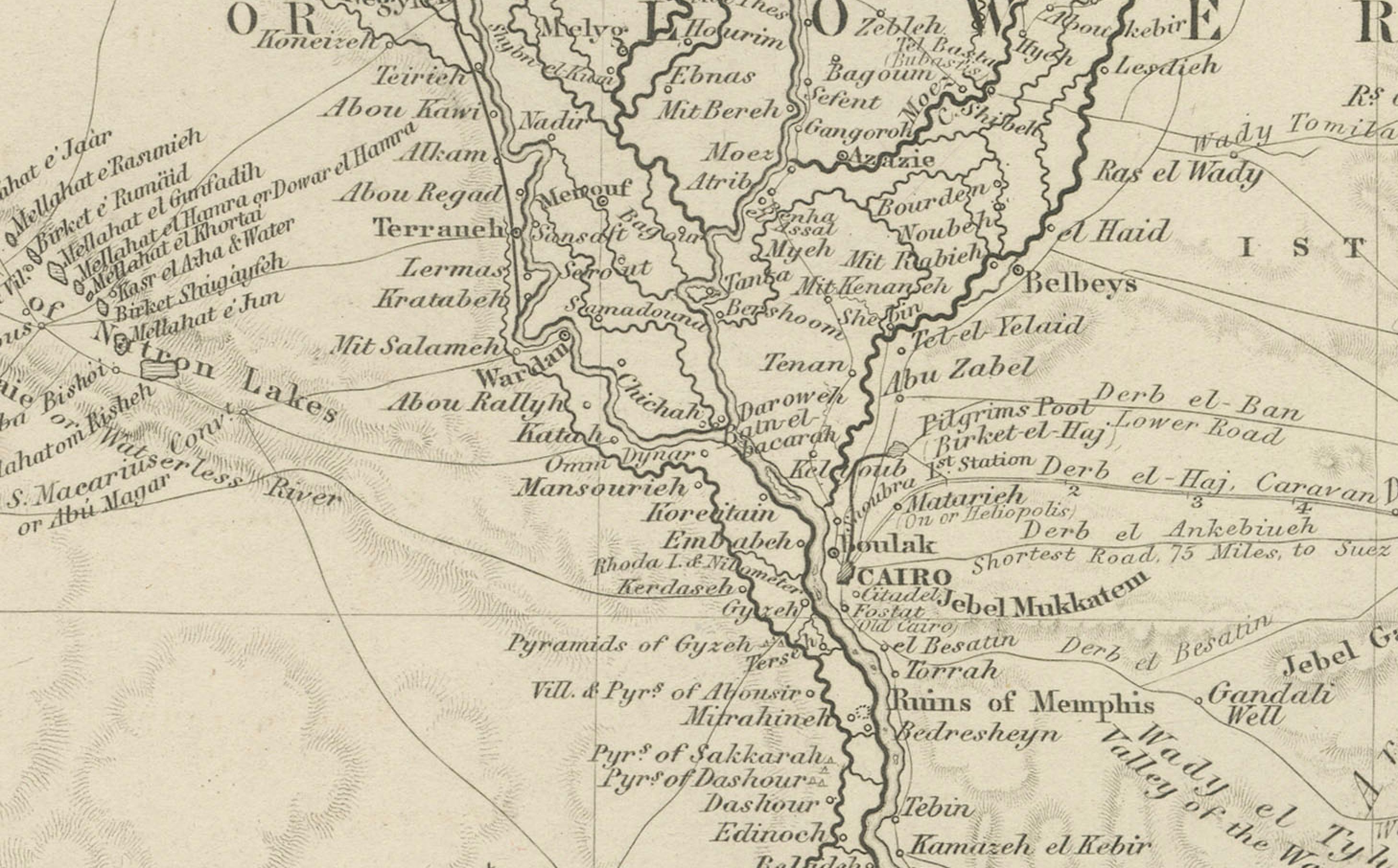
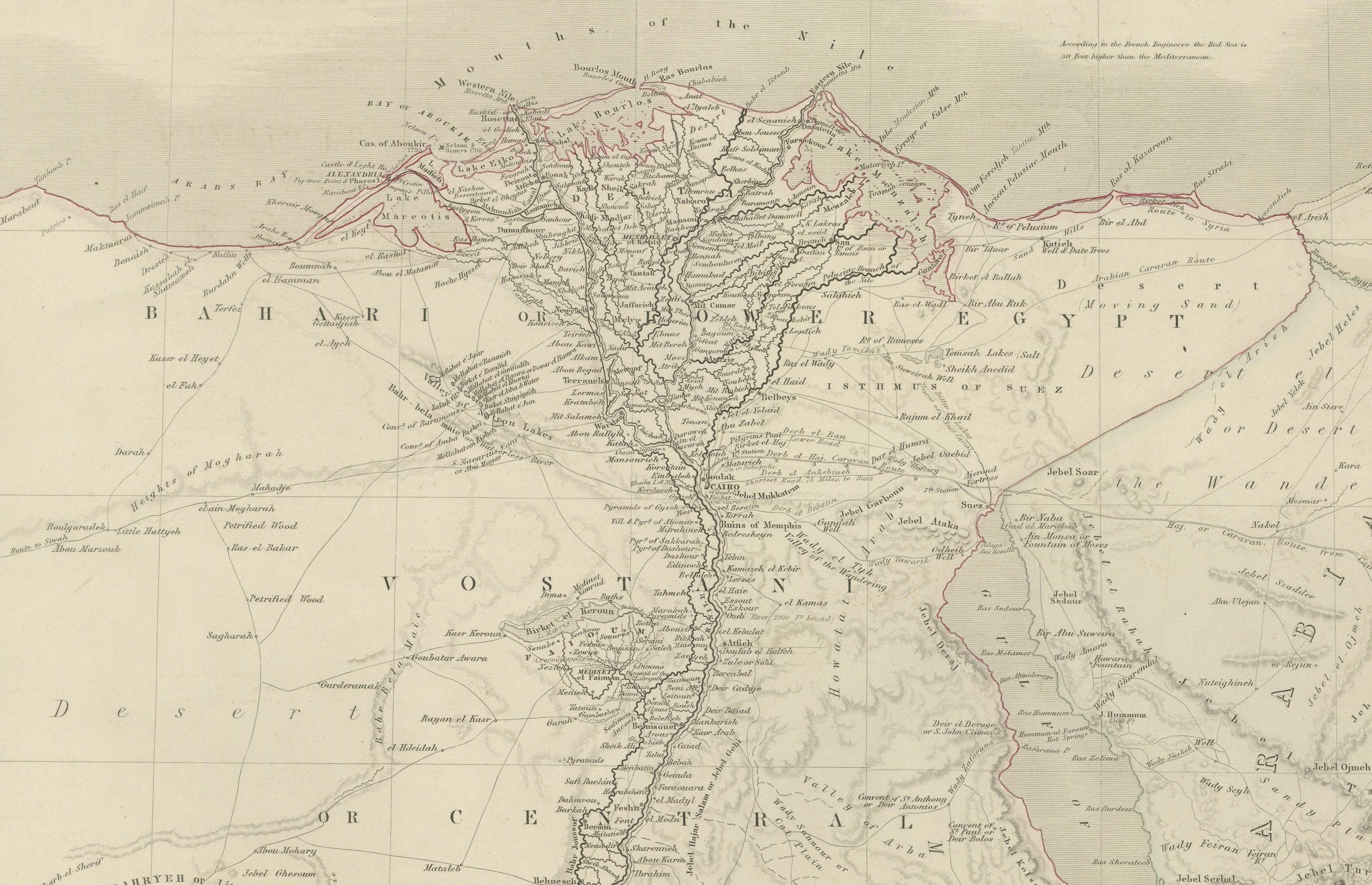
This impressive early 19th-century map depicts Egypt and Arabia Petraea with exceptional detail, extending from the Mediterranean Sea and the Nile Delta southward through Upper Egypt and Nubia, and eastward across the Red Sea to the Arabian Peninsula. Titled “Egypt and Arabia Petraea,” the map reflects the heightened European scholarly and strategic interest in Egypt during the years surrounding the Napoleonic campaigns and the subsequent rise of modern scientific cartography.
The Nile dominates the composition as the central geographic and cultural axis of Egypt. Its full course is meticulously traced, with branches, cataracts, settlements, ancient sites, desert routes, and regional divisions carefully engraved. The surrounding deserts, mountain ranges, and caravan paths are rendered with restraint, emphasizing the river’s singular role in sustaining civilization. To the east, Arabia Petraea and the Red Sea coastline provide essential context for ancient and early modern trade routes linking Africa, the Levant, and the Indian Ocean world.
The map belongs to the British cartographic tradition associated with the Arrowsmith circle and related London publishers, known for their emphasis on empirical accuracy, clarity, and large-scale presentation. The engraving is precise and refined, with dense but highly legible geographical information. Subtle outline color is used sparingly to distinguish coastlines and regional boundaries without disturbing the map’s calm, scholarly aesthetic.
Visually, this is a powerful wall map. Its tall vertical format, generous margins, and restrained monochrome palette give it an architectural presence that works exceptionally well in both classic and contemporary interiors. It functions equally as a collector-grade document of early modern Egypt and as a sophisticated decorative centerpiece.
This map is particularly appealing to collectors of Egyptology, Nile history, and 19th-century British cartography, as well as interior designers seeking a large, authoritative historic map with strong visual impact.
Condition report
Good condition overall. Central vertical fold as issued. Light age toning consistent with period. Minor scattered spots and faint surface marks. Original outline hand color. Plate mark visible. Margins intact.
Framing tips
This map benefits from a wide off-white or light sand-colored mat to emphasize its scale and vertical flow. A medium to dark wood frame or softly ebonized frame enhances the engraving and gives the piece a refined, museum-style presence. Particularly effective as a stand-alone statement map.