Antique Maps of United Kingdom & Ireland
31 original sheets
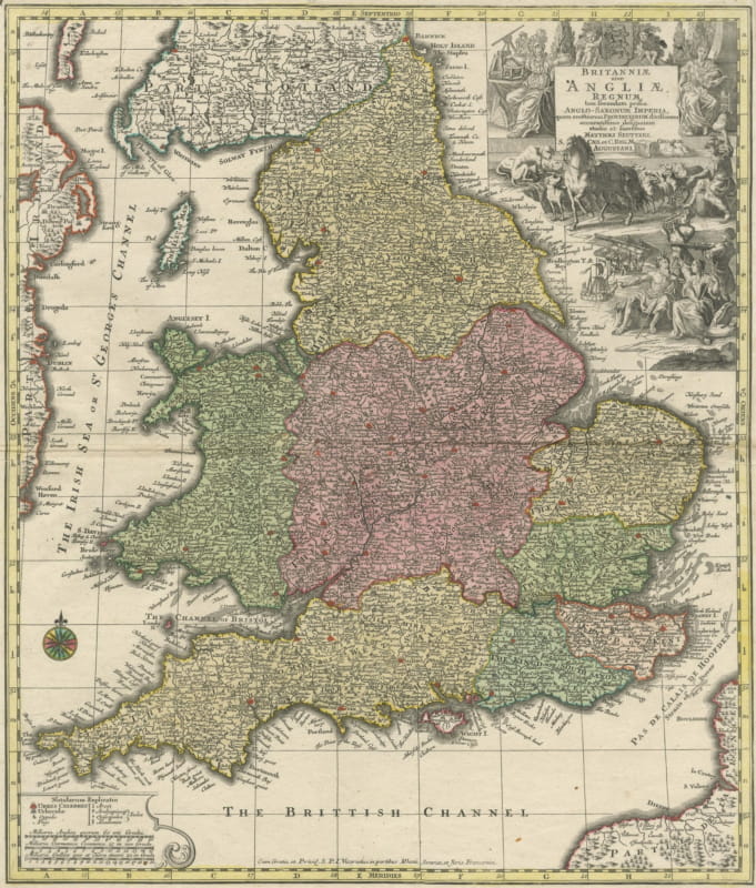
Britannia, Antique Map of England with Hunting Vignettes, circa 1740
circa 1740 · € 570
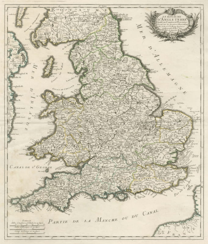
Antique Map of the Kingdom of England and Wales, circa 1760
circa 1760 · € 440
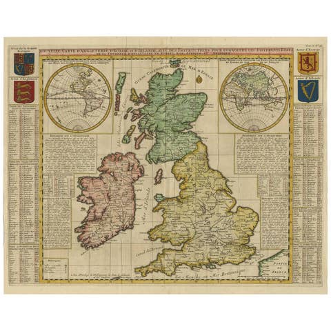
Antique Map of the British Isles by H. Chatelain, 1719
1719 · € 750
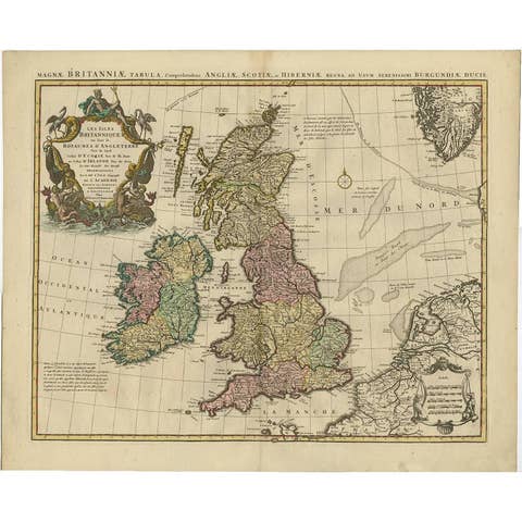
Antique Map 'Colored Cartouches' of the British Isles by Covens & Mortier ‘1761’
1761 · € 670
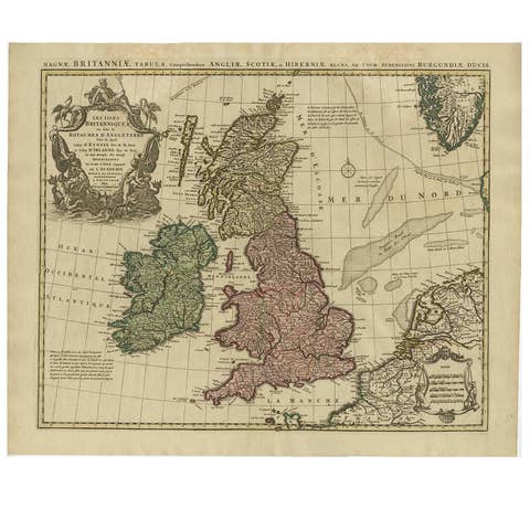
Antique Map of the British Isles by Covens & Mortier, 1730
1730 · € 650
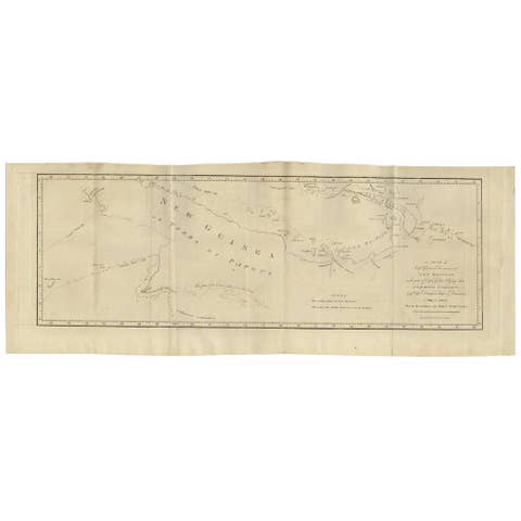
Antique Map of New Guinea and New Britain by P. Carteret, circa 1773
1773 · € 550
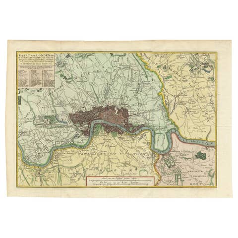
Antique Map of London by Tirion '1754'
1754 · € 580
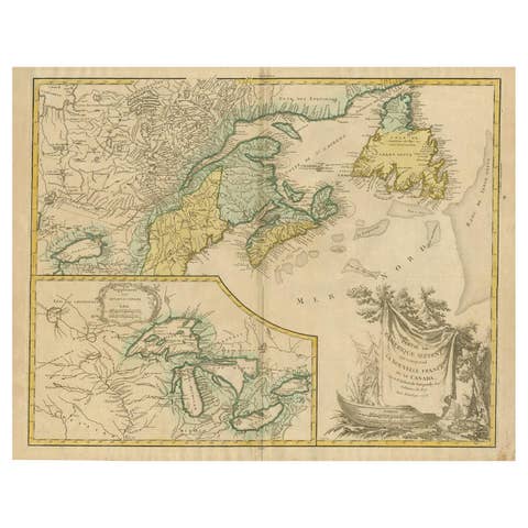
Antique Map of New England and Part of Canada by Vaugondy 'circa 1755'
1755 · € 1 750
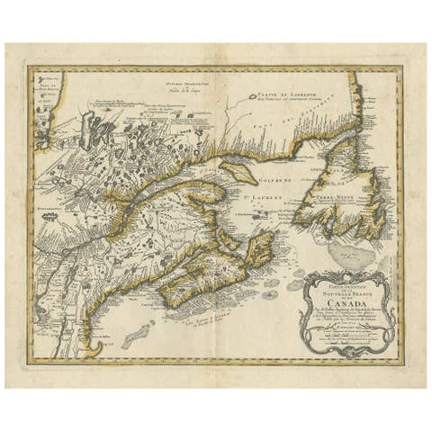
Antique Map of New England and Eastern Canada by Homann Heirs, circa 1755
1755 · € 2 000
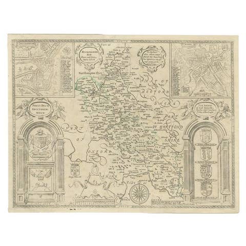
Antique Map of Buckinghamshire in England, 1743
1743 · € 480
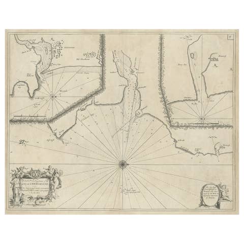
Antique Chart of Dundee, Aberdeen and Montrose in Scotland, C.1774
1774 · € 270
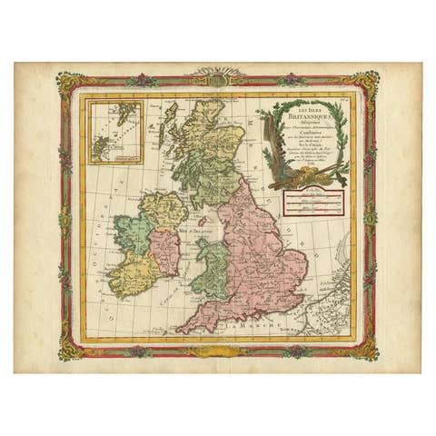
Antique Map of Great Britain and Ireland by Brion de la Tour, 1766
1766 · € 550
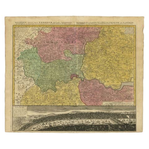
Antique Map of London Showing the Area from Essex to Surrey, England, 1741
1741 · € 1 450
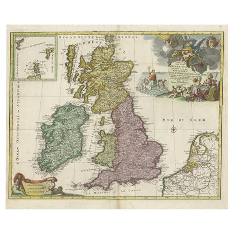
Old Map of the UK & Ireland, Insets of Orkney, Shetland and Faroe Islands, 1786
1786 · € 1 350
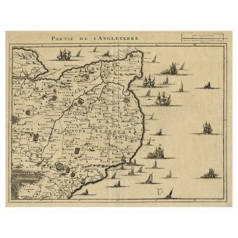
Uncommon Antique Map of the English Channel Coastline, ca.1709
1709 · € 540

Antique Map of Northern England and Wales by Zatta, 1784
1784 · € 213
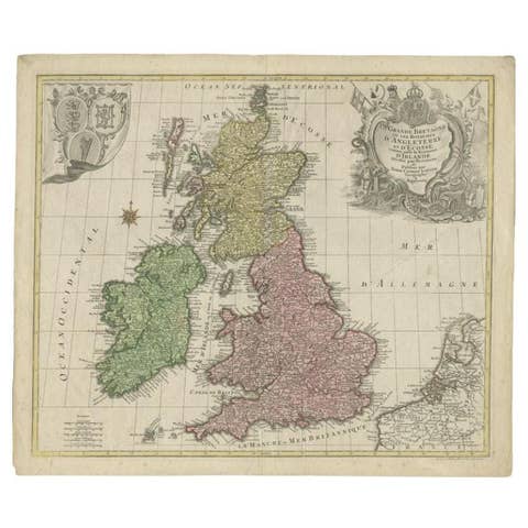
Antique Map of the British Isles by Lotter, 1764
1764 · € 335
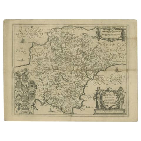
Antique Map of the County of Devon by Overton, 1713
1713 · € 289

Antique Map of the South Part of Great Britain by Tirion, c.1750
1750 · € 450
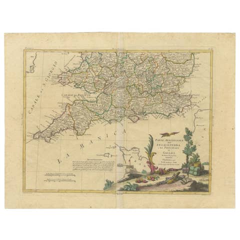
Antique Map of Southern England and Wales by Zatta, 1784
1784 · € 213
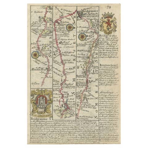
Rare Antique Map of the Route from Maiden Bridge to Dulverton, England, c.1720
1720 · € 99
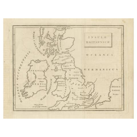
Old Map of British Isles According to the Geography of the Roman Empire, ca.1790
1790 · € 180
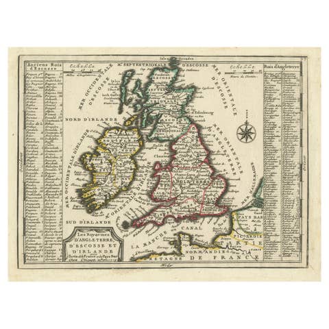
Map of the British Isles with Historical Kings, 1719
1719 · € 440
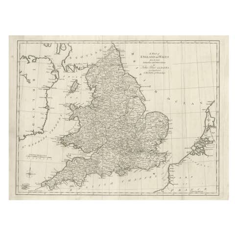
Antique Map of England and Wales by J. Blair, Circa 1779, Wall Art
1779 · € 510
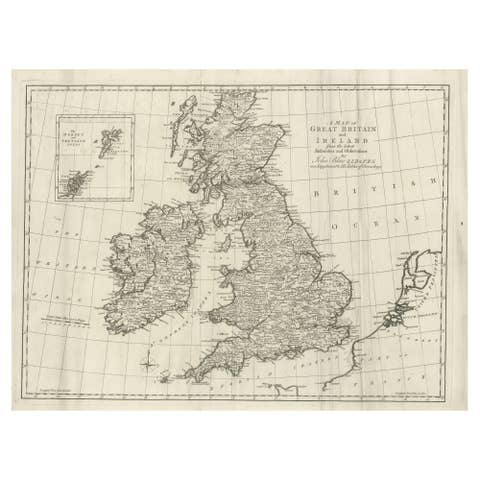
Large Antique Map of the British Isles, inset of the Orkneys and Shetlands, 1779
1779 · € 490
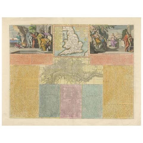
England and London Government Map with Allegorical Vignettes, ca. 1720
1720 · € 580

Ireland Antique Map – Royaume d’Irlande, De Vaugondy, Venice 1778
1778 · € 640
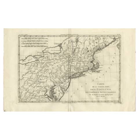
Antique Northeastern United States Map — New England & Mid-Atlantic, Bonne, 1780
1780 · € 285
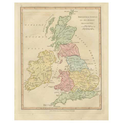
Roman Britain Map — Britanniae Insulae Classical Provinces, Wilkinson 1800
1800 · € 340
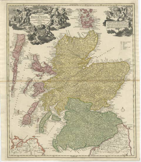
Antique Map of Scotland by Johann Baptist Homann, c.1710
1710 · € 895
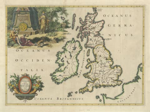
Ancient British Isles & Early Bishoprics Map, François Halma, 1704
1704 · € 1 290