About this sheet
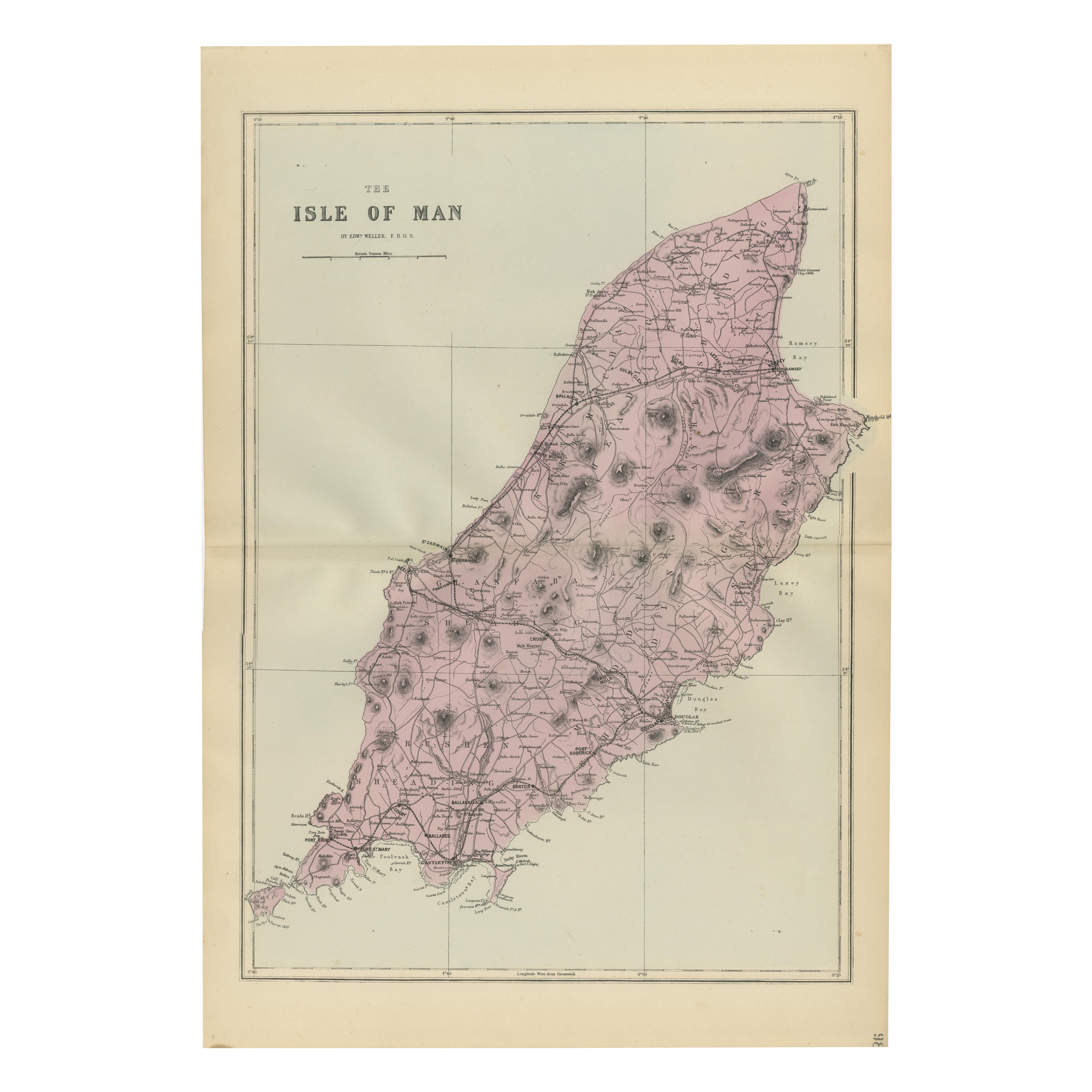
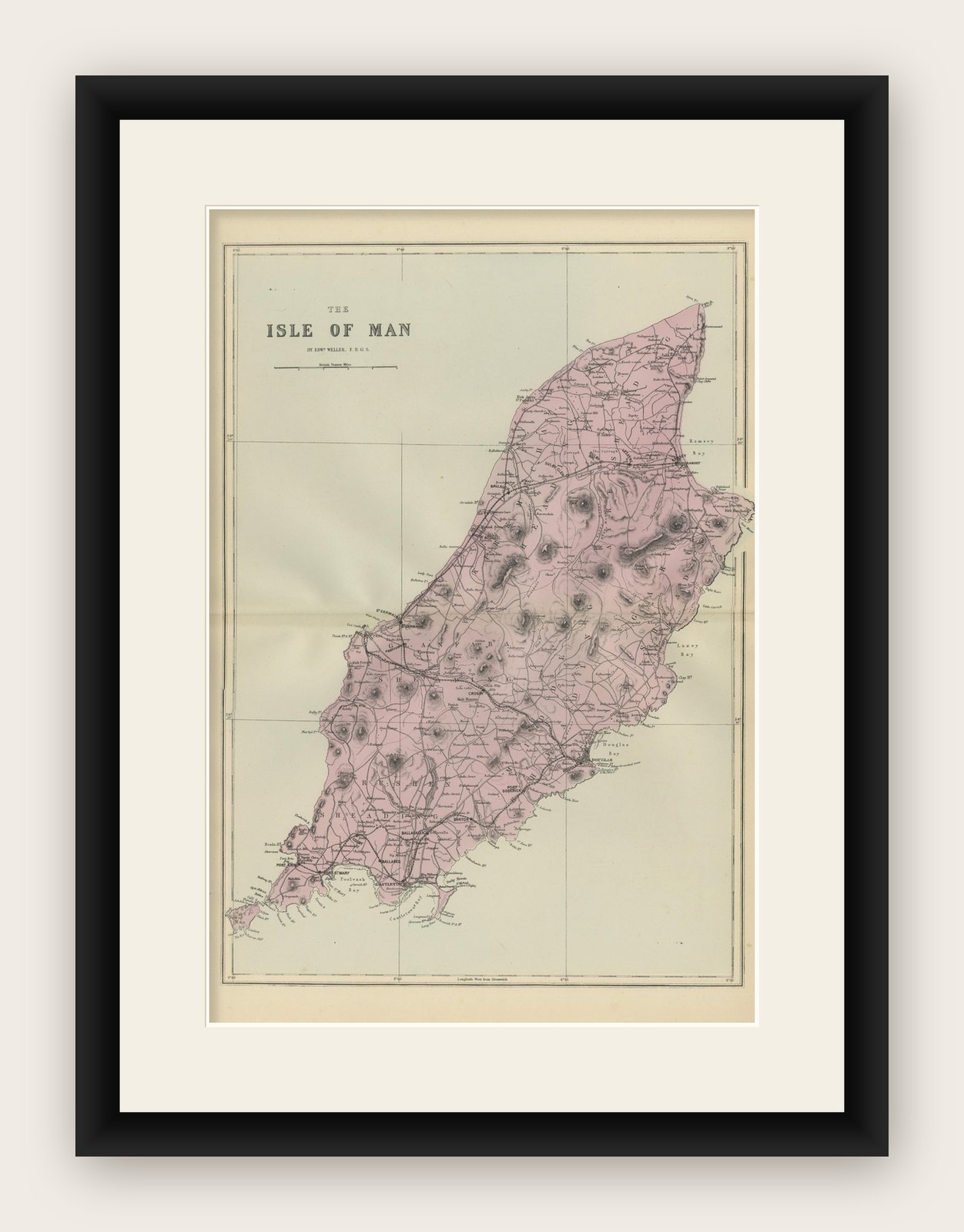
Isle of Man Map, Ordnance Survey Style, Bacon London 1885
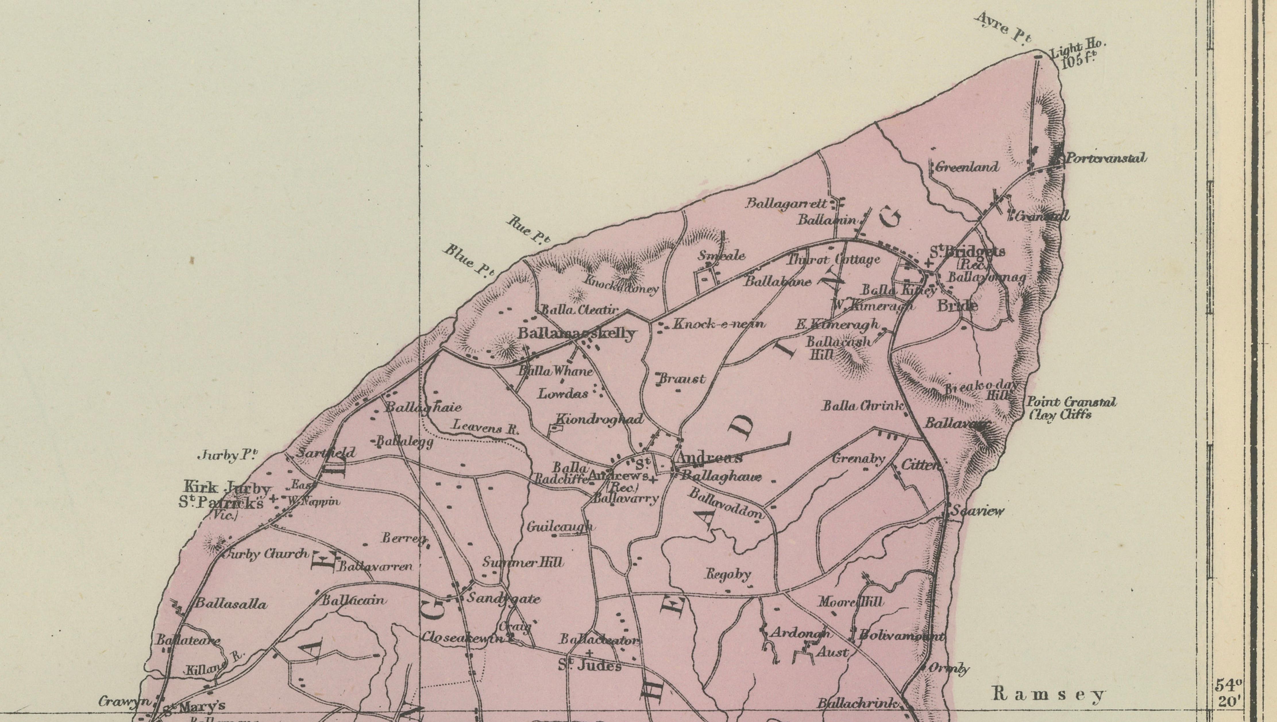
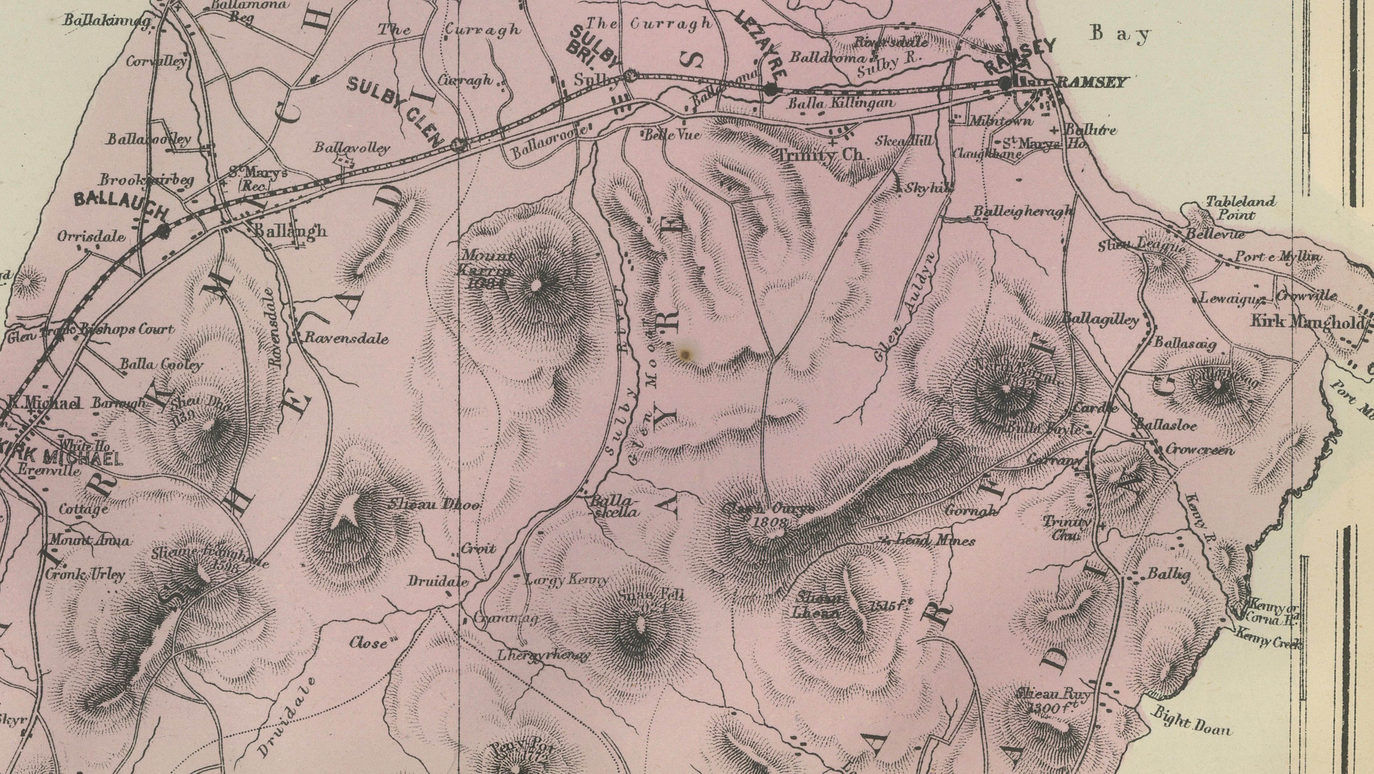
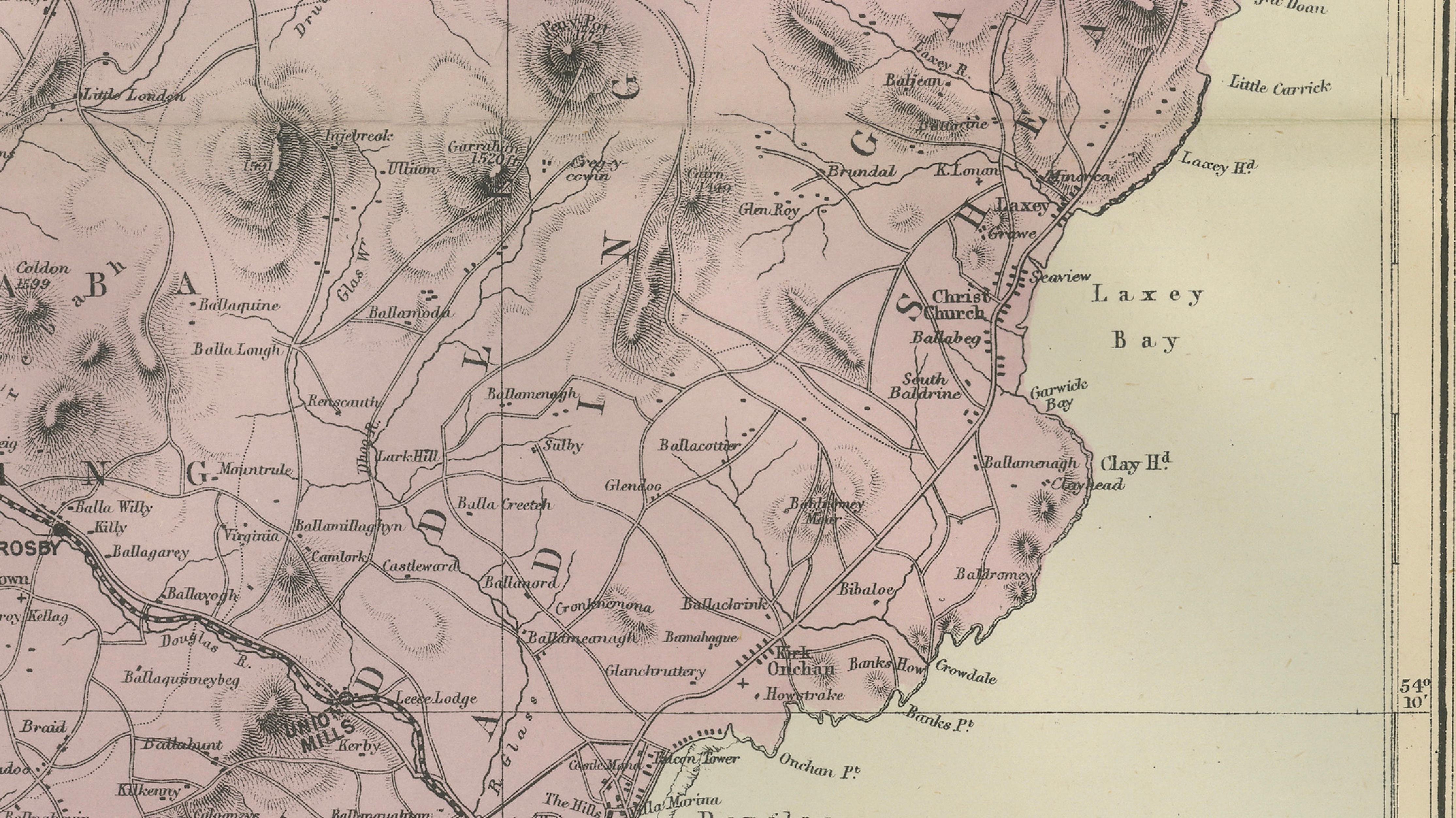
This finely detailed Victorian map of the Isle of Man was published in London in 1885 as part of the New Large Scale Ordnance Atlas of the British Isles, issued by the prominent British map publisher George W. Bacon. The plate itself is credited to Edward Weller, F.R.G.S., one of the most respected English cartographers of the period, known for his precise adaptation of official survey material for commercial atlases.
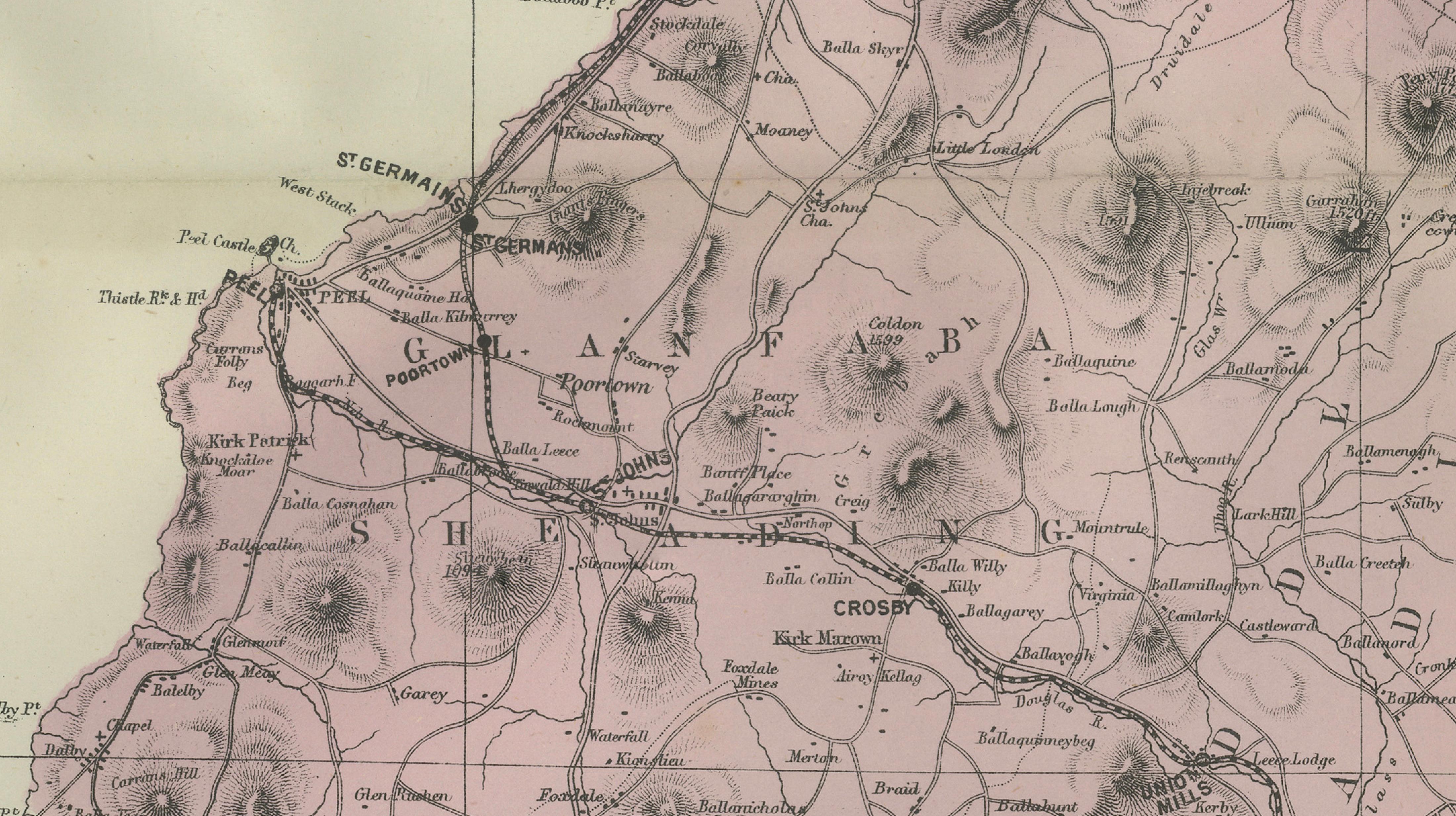
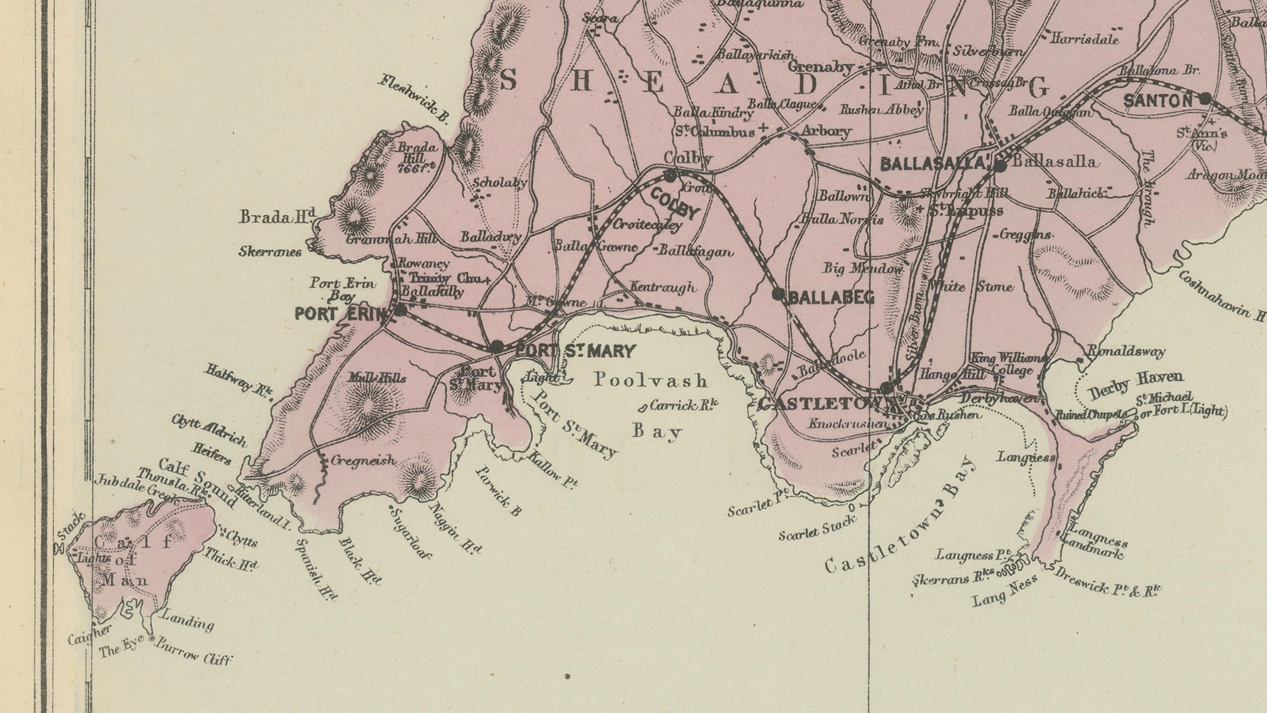
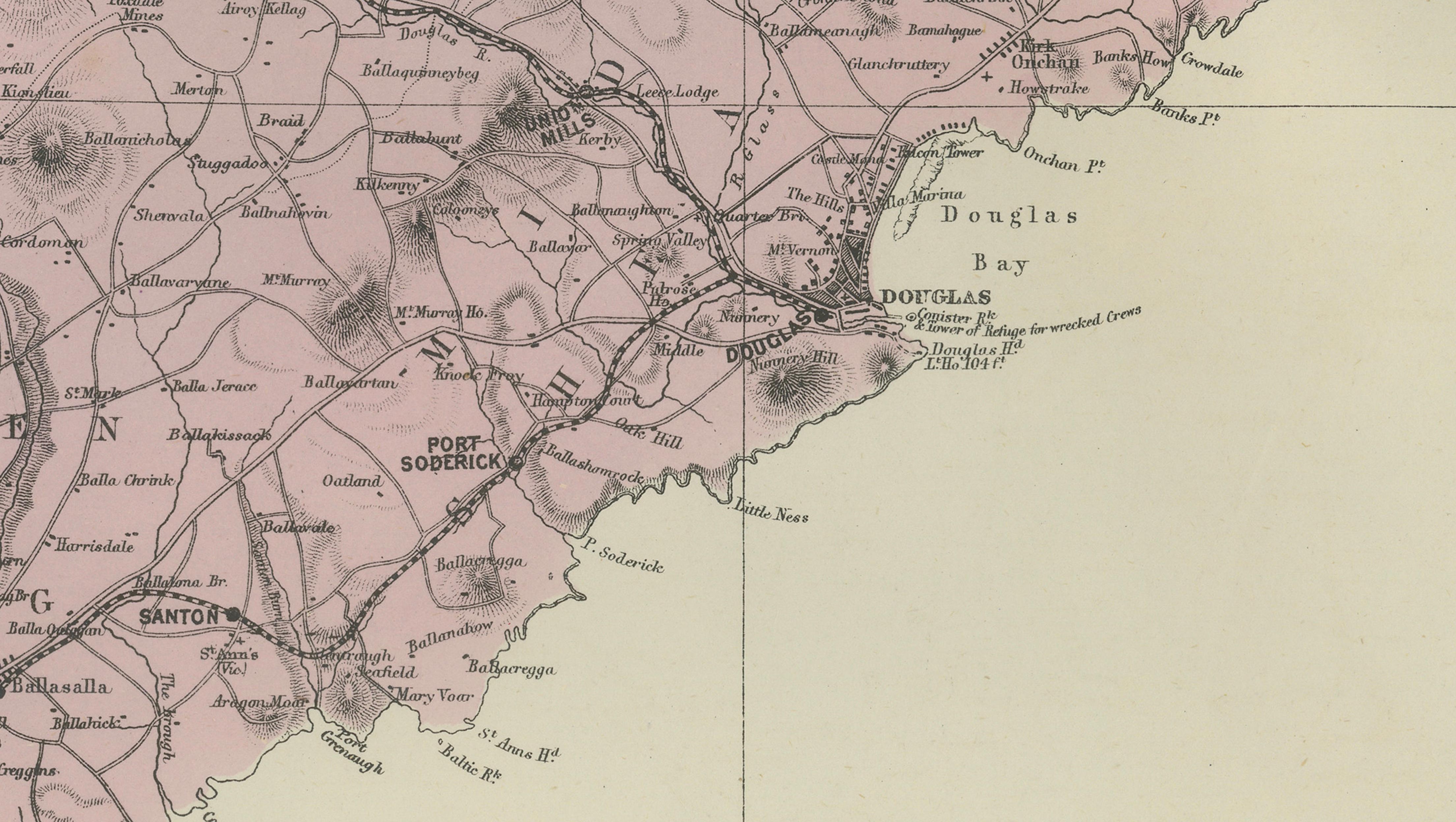
The map is drawn in a clear Ordnance Survey style and presents the island at a generous scale, allowing for an unusually detailed depiction of its geography. Roads, towns, parishes, and coastal features are meticulously engraved, while relief is expressed through fine hachuring that vividly conveys the island’s mountainous interior, including the central highlands around Snaefell. Administrative divisions are delicately highlighted with original outline color, giving the map both structure and visual warmth without compromising legibility.
Major towns such as Douglas, Peel, Ramsey, and Castletown are clearly identified, along with bays, headlands, and smaller settlements across the island. The coastline is particularly well rendered, emphasizing the Isle of Man’s maritime character and its strategic position in the Irish Sea between Great Britain and Ireland. The restrained Victorian design, combined with the pale coloring and crisp engraving, makes this map both an excellent historical document and a refined decorative object.
Maps from Bacon’s large-scale atlases are increasingly appreciated by collectors for their balance of accuracy, elegance, and decorative appeal. This Isle of Man example is especially desirable for its strong vertical composition and detailed treatment of terrain, making it well suited for display in studies, libraries, or coastal and heritage-inspired interiors.
Condition report:
Good antique condition. Light age-related toning and occasional faint spotting, primarily in the margins. Central fold lines as issued. Original outline color remains clear and attractive. No major tears or losses.
Framing tips:
This vertical map benefits from a tall, elegant presentation. A dark walnut or ebonised frame with a soft ivory or pale gray mat will enhance the delicate engraving and subtle coloring, creating a sophisticated focal point suitable for both classic and contemporary interiors.