About this sheet
Worcestershire & Gloucestershire County Map – Edward Weller, Victorian England 1885
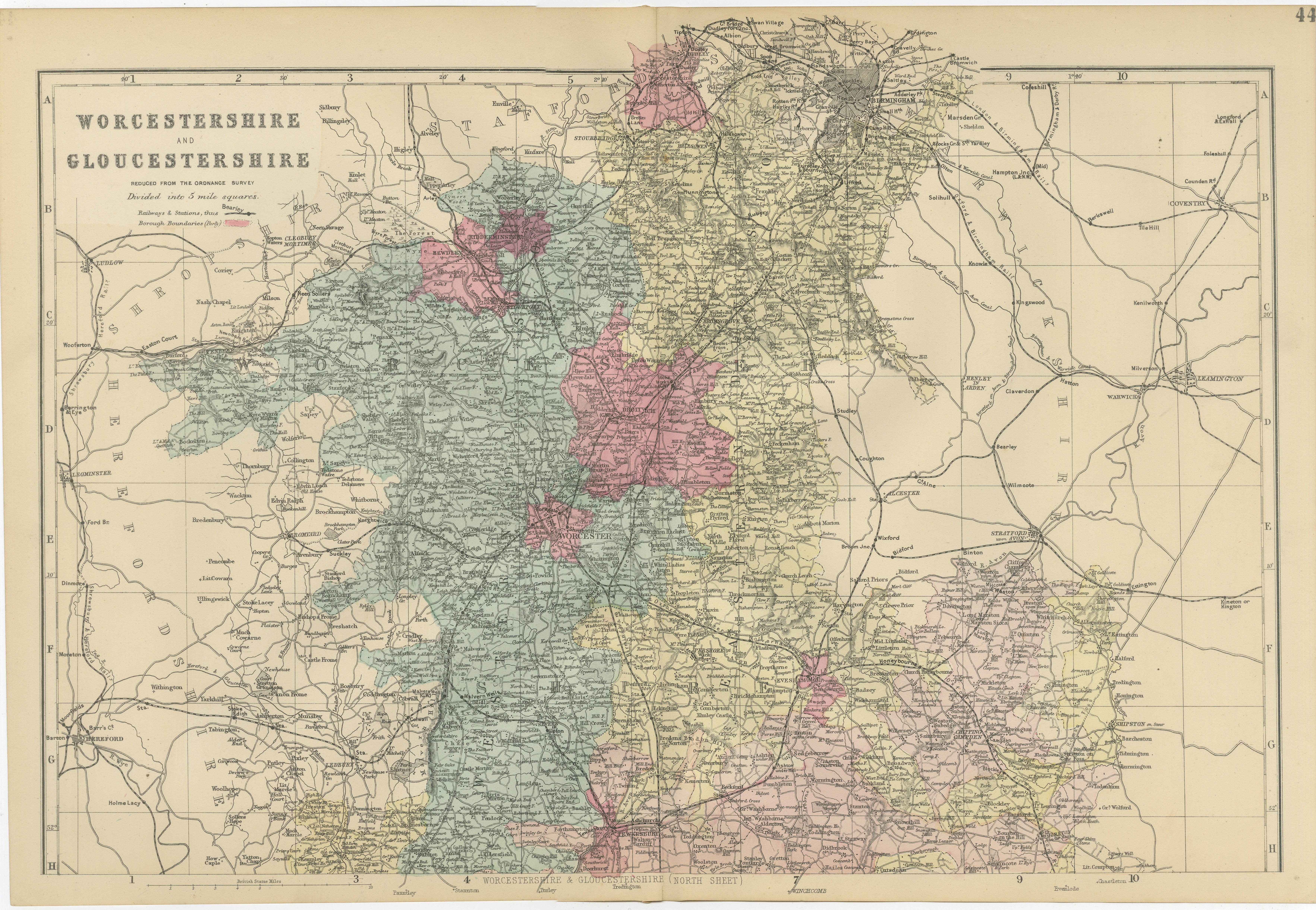
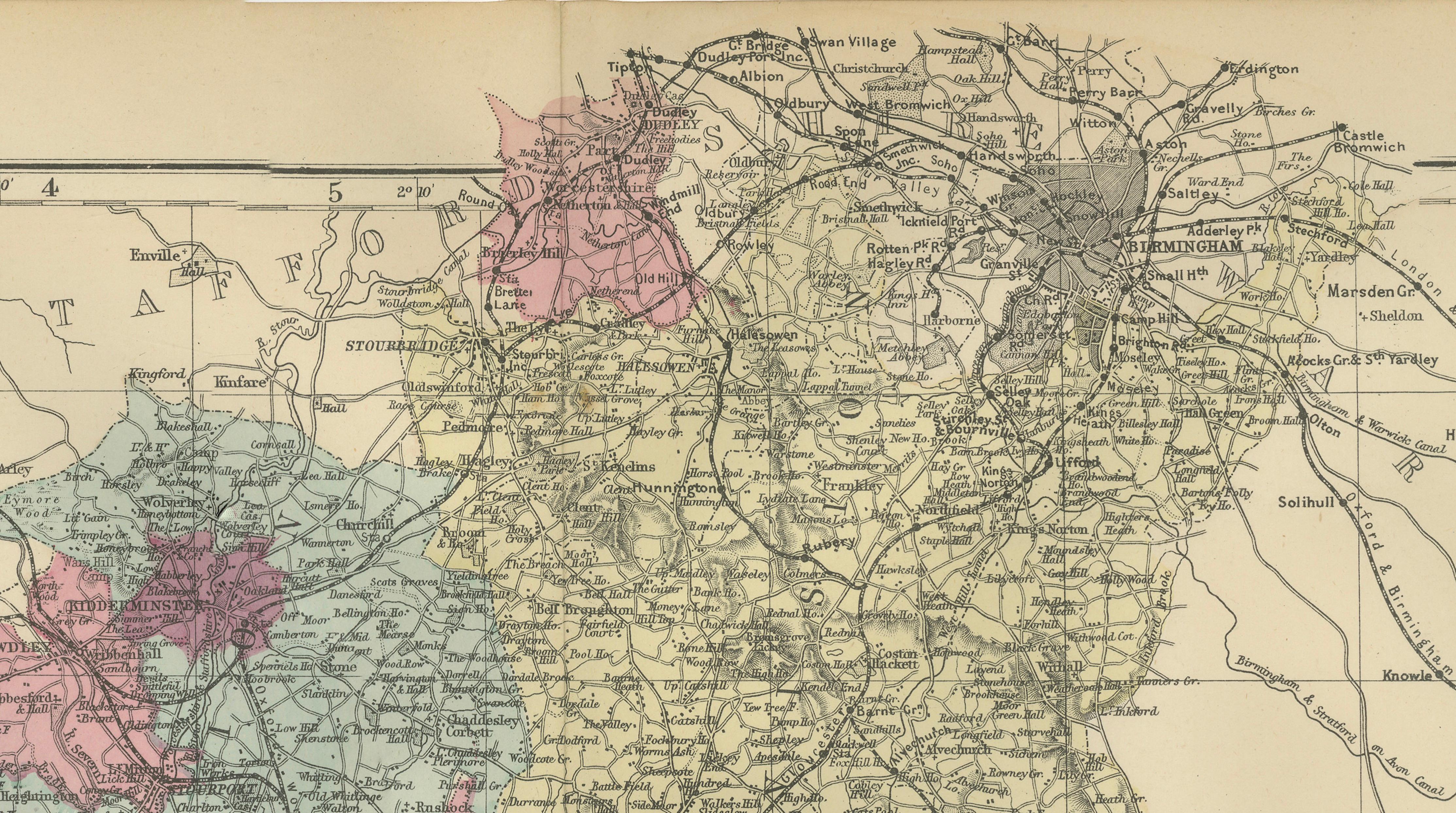
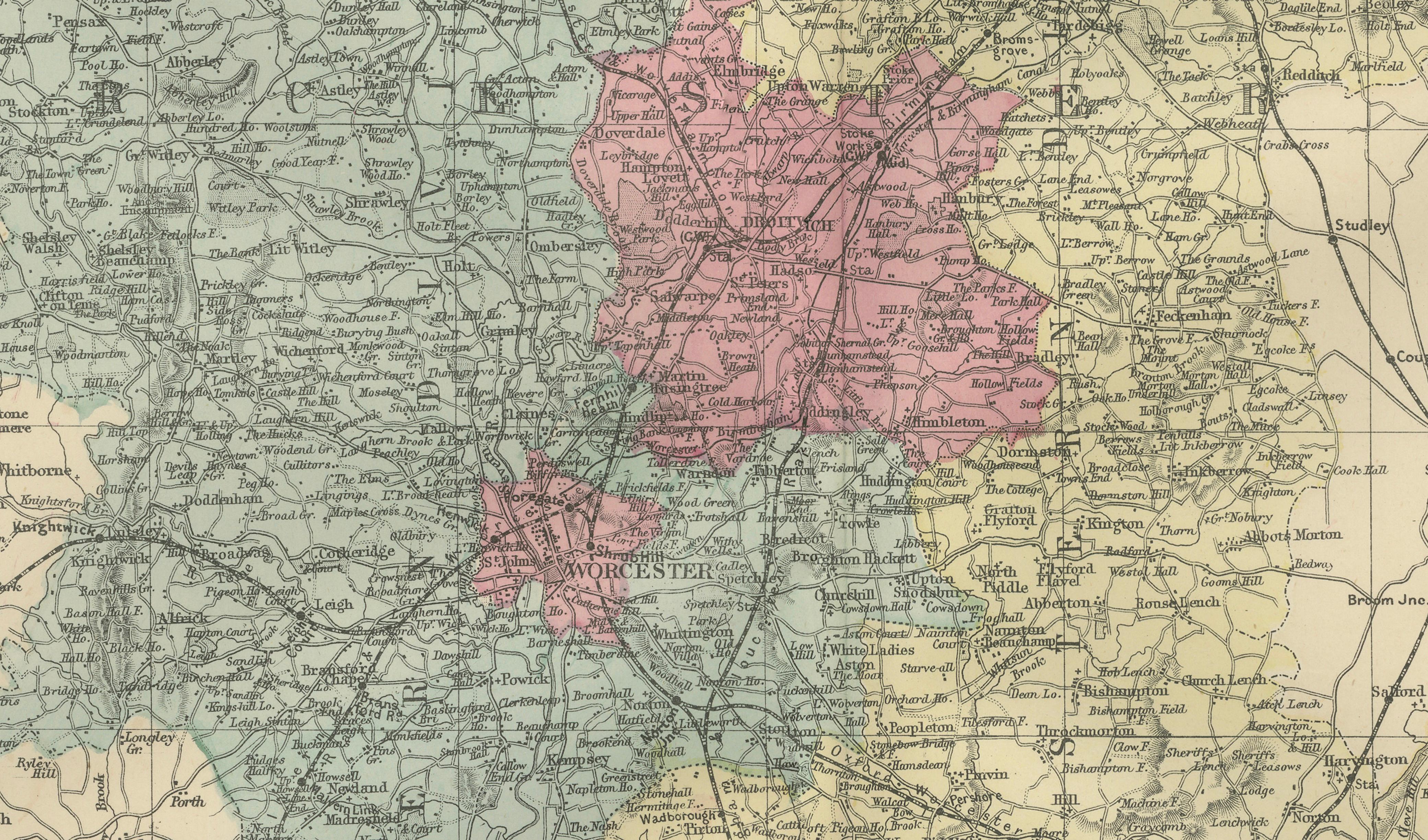
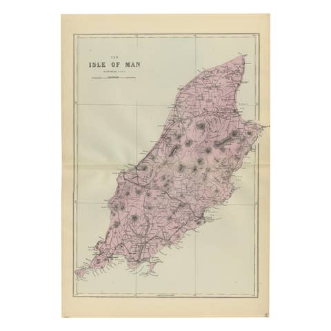
This attractive original Victorian county map of Worcestershire and Gloucestershire was engraved and published by Edward Weller in London in 1885. Based on the Ordnance Survey, it presents a highly detailed view of two of England's most historically significant counties during the late nineteenth century, a period of rapid industrial growth, expanding railway networks, and agricultural prosperity.
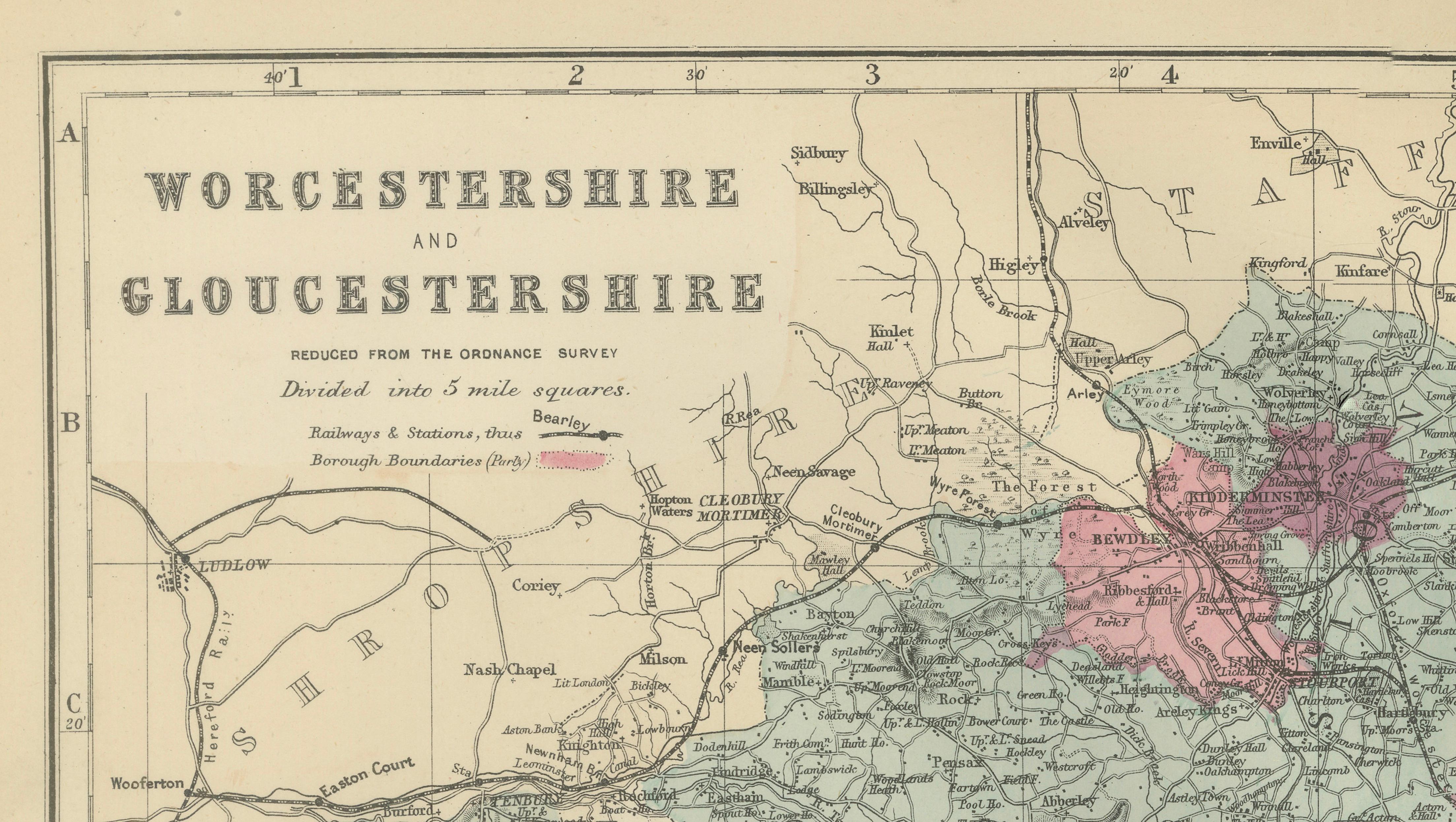
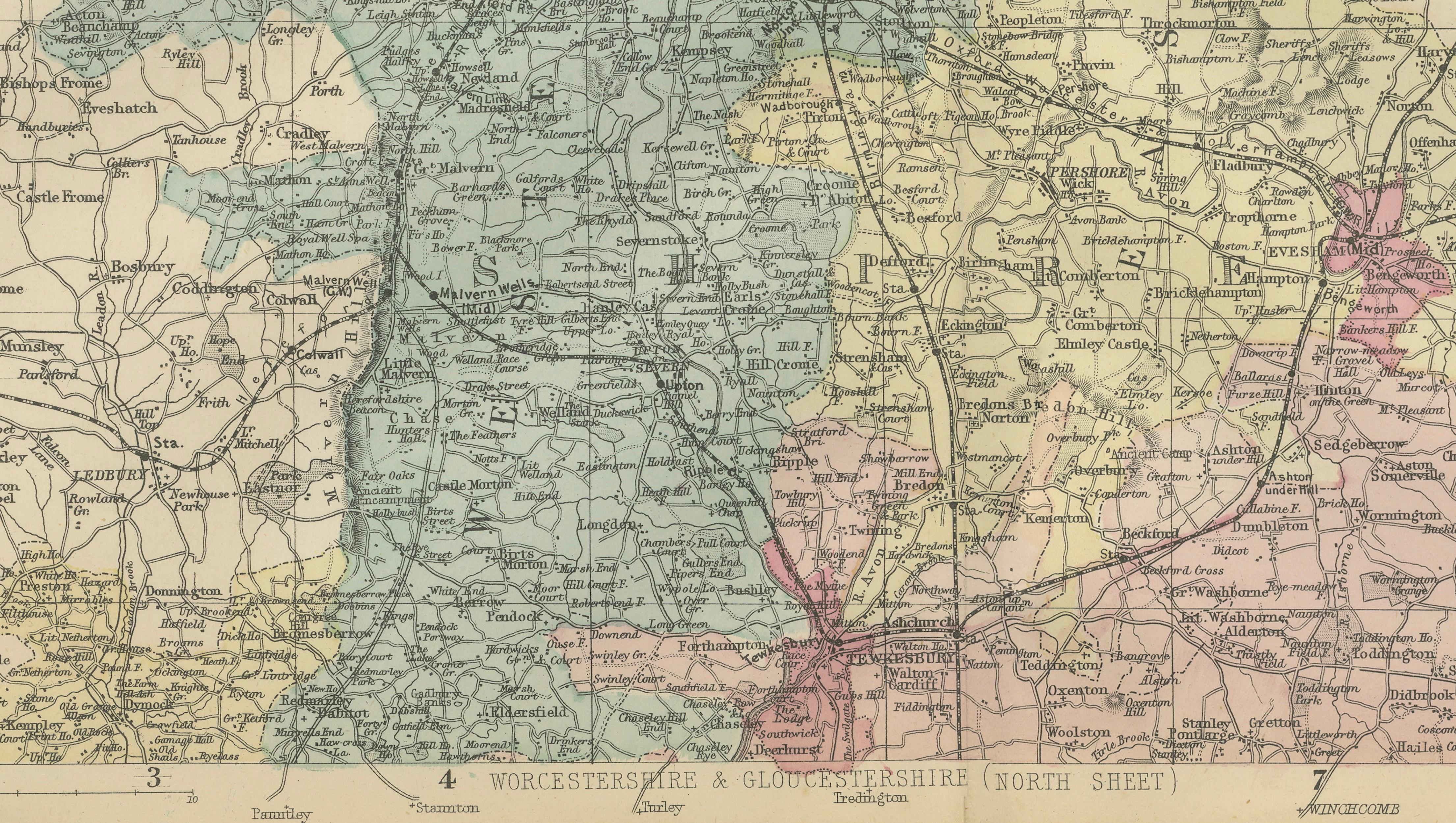
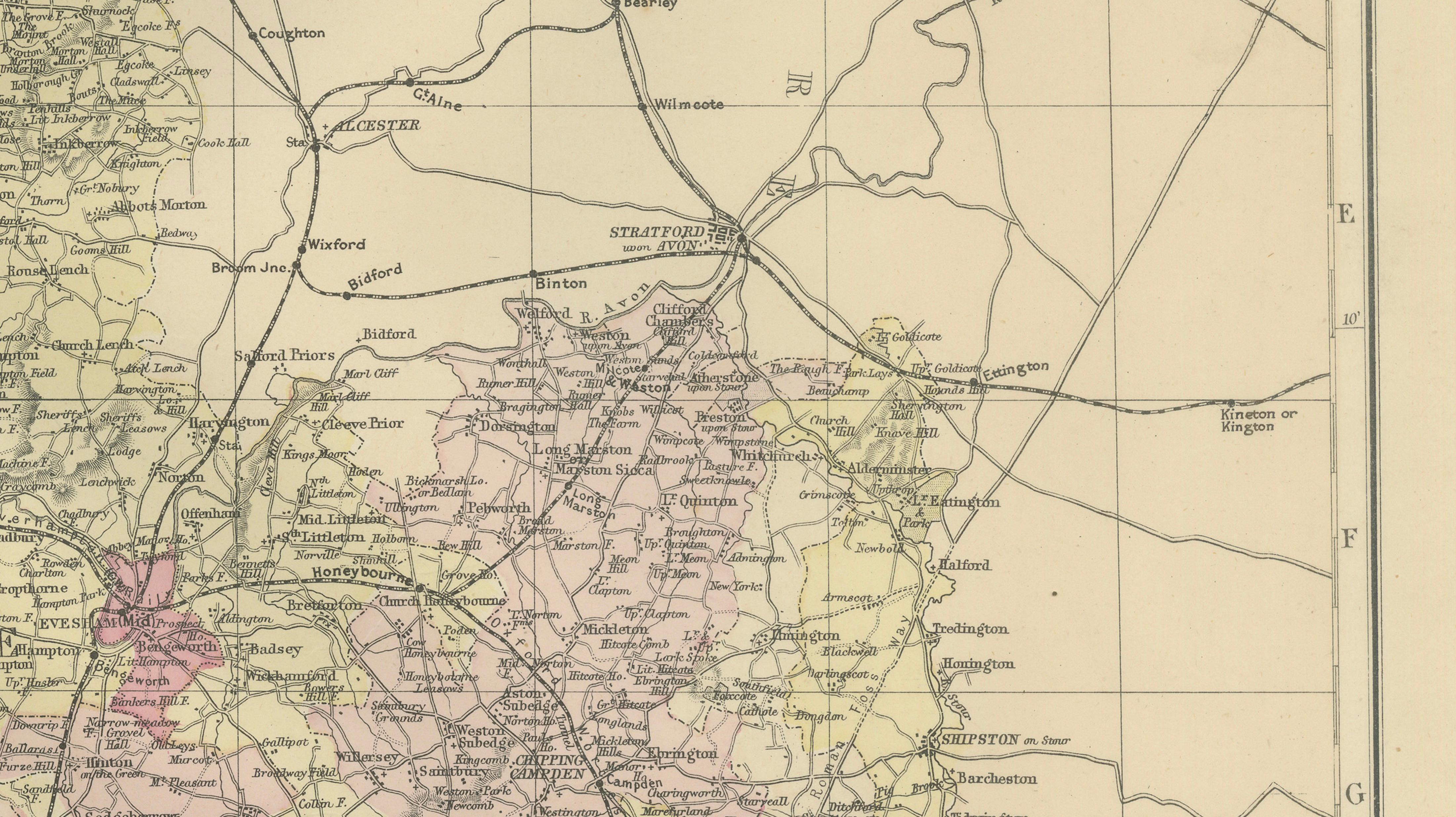
The map depicts the counties in remarkable detail, showing towns, villages, railway lines, roads, rivers, canals, and administrative boundaries. Original hand coloring distinguishes the various divisions and municipal boroughs, enhancing both its decorative appeal and its usefulness as a geographical document. The cartography reflects the precision for which Edward Weller became renowned, making this an excellent example of Victorian mapmaking.
Worcestershire occupies much of the western portion of the map and includes the historic cathedral city of Worcester, often known as the "Faithful City" due to its support of King Charles I during the English Civil War. Other notable locations include Kidderminster, famous for its carpet industry; Evesham in the fertile Vale of Evesham; Bromsgrove; Droitwich, renowned for its salt production; Malvern, home to the celebrated Malvern Hills and mineral springs; Bewdley; Pershore; and Tenbury Wells.
Gloucestershire is shown to the south and west, including the historic city of Gloucester, often called the "Cathedral City." The map also includes Cheltenham, one of England's most elegant Regency spa towns; Tewkesbury, famous for its medieval abbey and the Battle of Tewkesbury; Cirencester, known as the "Capital of the Cotswolds"; Stroud; Fairford; Moreton-in-Marsh; and many villages within the Cotswolds region.
The eastern edge of the map extends toward Warwickshire and includes references to Birmingham and surrounding districts, illustrating the growing influence of the industrial Midlands. Railways, canals, and road networks are carefully plotted, documenting the transportation infrastructure that supported Victorian commerce and travel.
Today the map provides a fascinating snapshot of rural and urban England during the height of the Victorian era. It appeals to collectors of British county maps, genealogy, local history, railway history, Cotswold memorabilia, and antique cartography.
Condition: Good condition for its age, with light age toning, minor handling wear, and original center fold as issued. Please examine photographs carefully for complete condition details.
Framing Tips: This map displays beautifully in a dark walnut, mahogany, or black frame with an ivory museum mat. The subtle hand coloring and intricate detail make it particularly suitable for a library, study, country house, office, or traditional English interior.
This is an original 19th-century lithograph, not a reproduction. All items we offer are authentic period works of art over 100 years old. The print is sold unframed; any framed images are shown for presentation and interior inspiration only.
Technique: Lithograph with original hand color
Maker: Edward Weller, London, 1885
Keywords: Worcestershire, Gloucestershire, Worcester, Faithful City, Gloucester, Cathedral City, Cheltenham, Regency Spa Town, Cirencester, Capital of the Cotswolds, Malvern Hills, Great Malvern, Kidderminster, Evesham, Vale of Evesham, Droitwich, Bromsgrove, Pershore, Bewdley, Tenbury Wells, Tewkesbury, Stroud, Fairford, Moreton-in-Marsh, Cotswolds, River Severn, Victorian England, English Counties, County Map, Railway Map, Ordnance Survey, Antique British Map, Edward Weller, Worcestershire Map, Gloucestershire Map, Midlands, West Country, English Cartography, Genealogy Map, Local History, Original Antique Map, 19th Century England, British Heritage, Historic Counties, Victorian Cartography.