About this sheet
Orkney and Shetland Islands Map, Ordnance Survey, Bacon London 1885
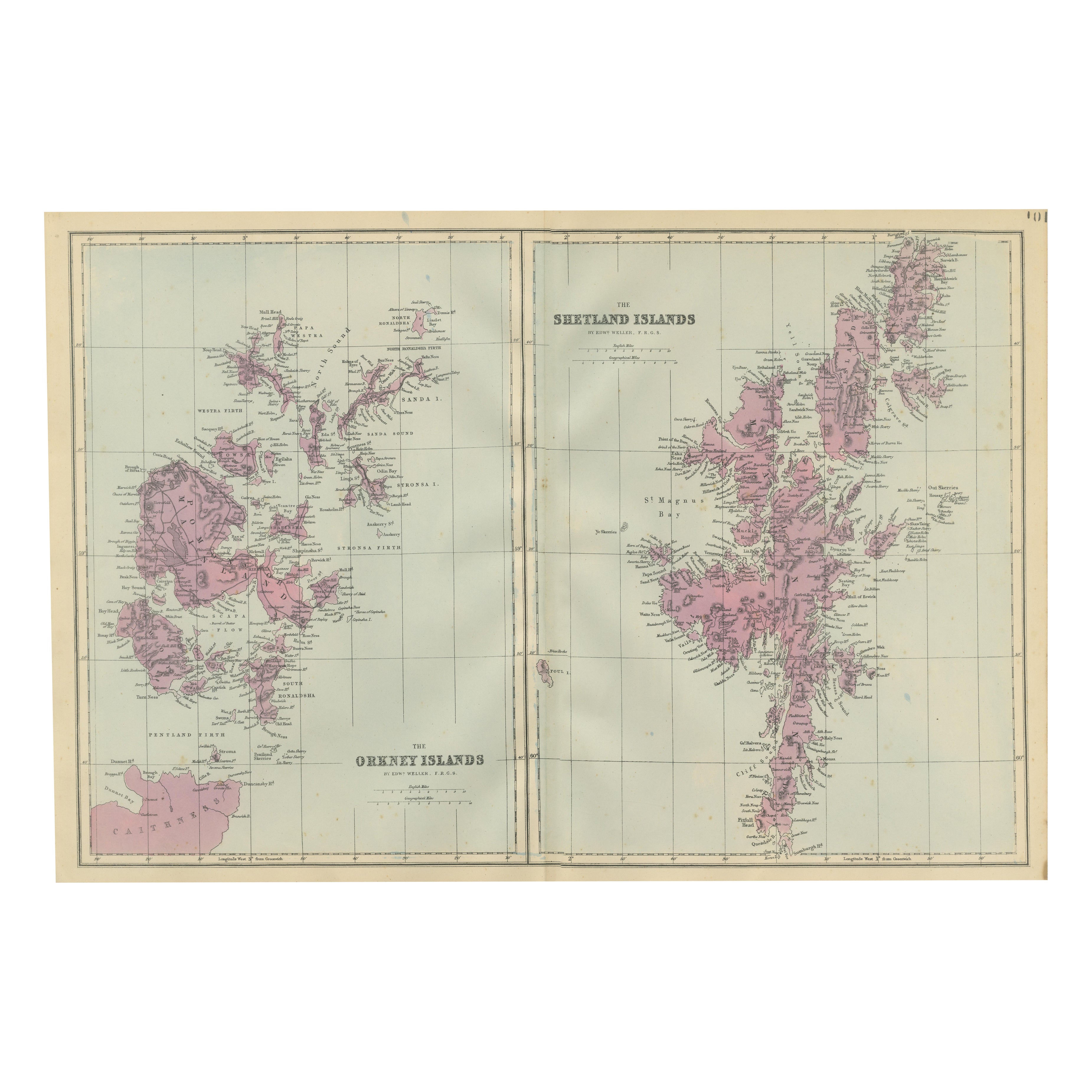
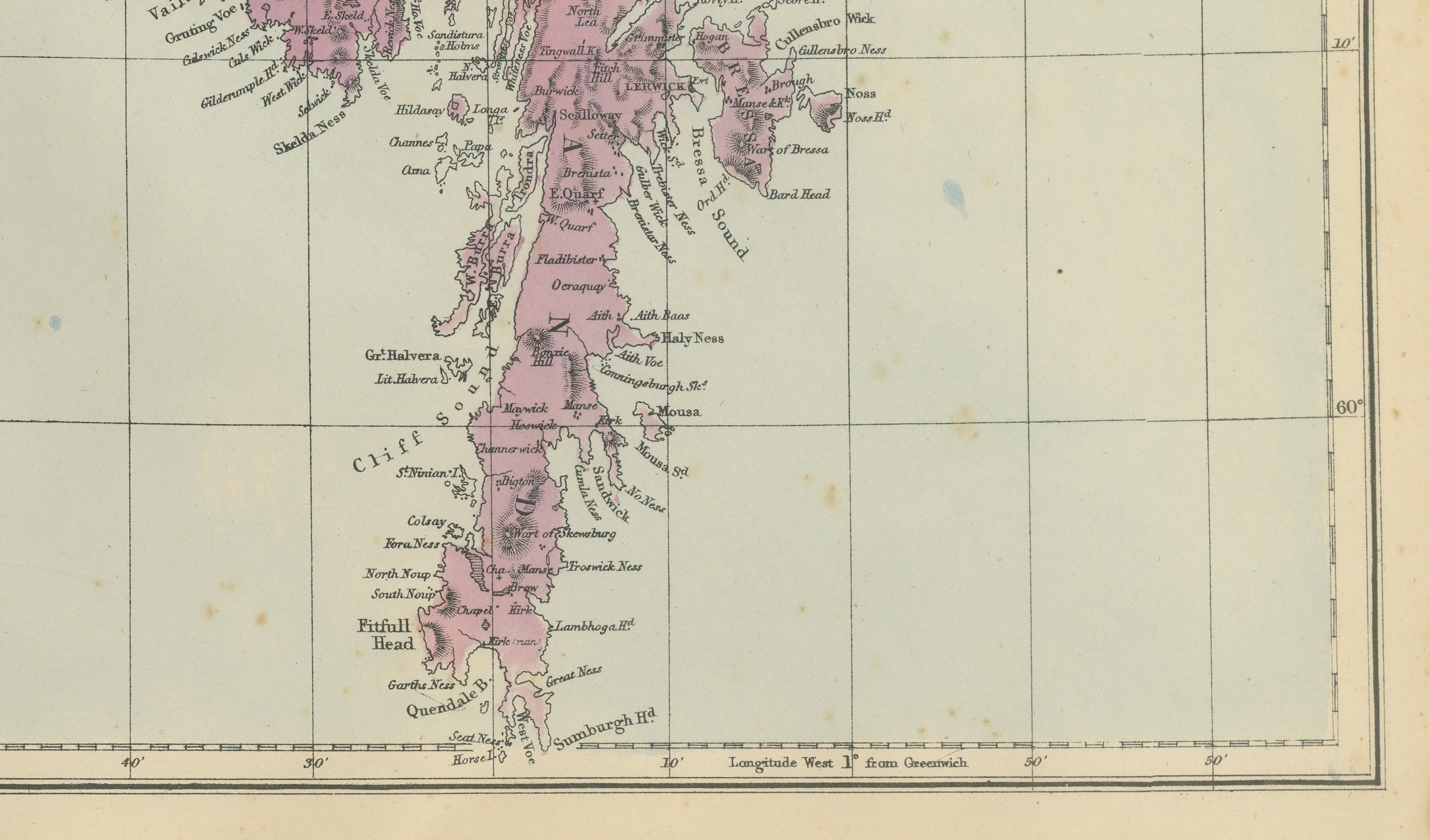
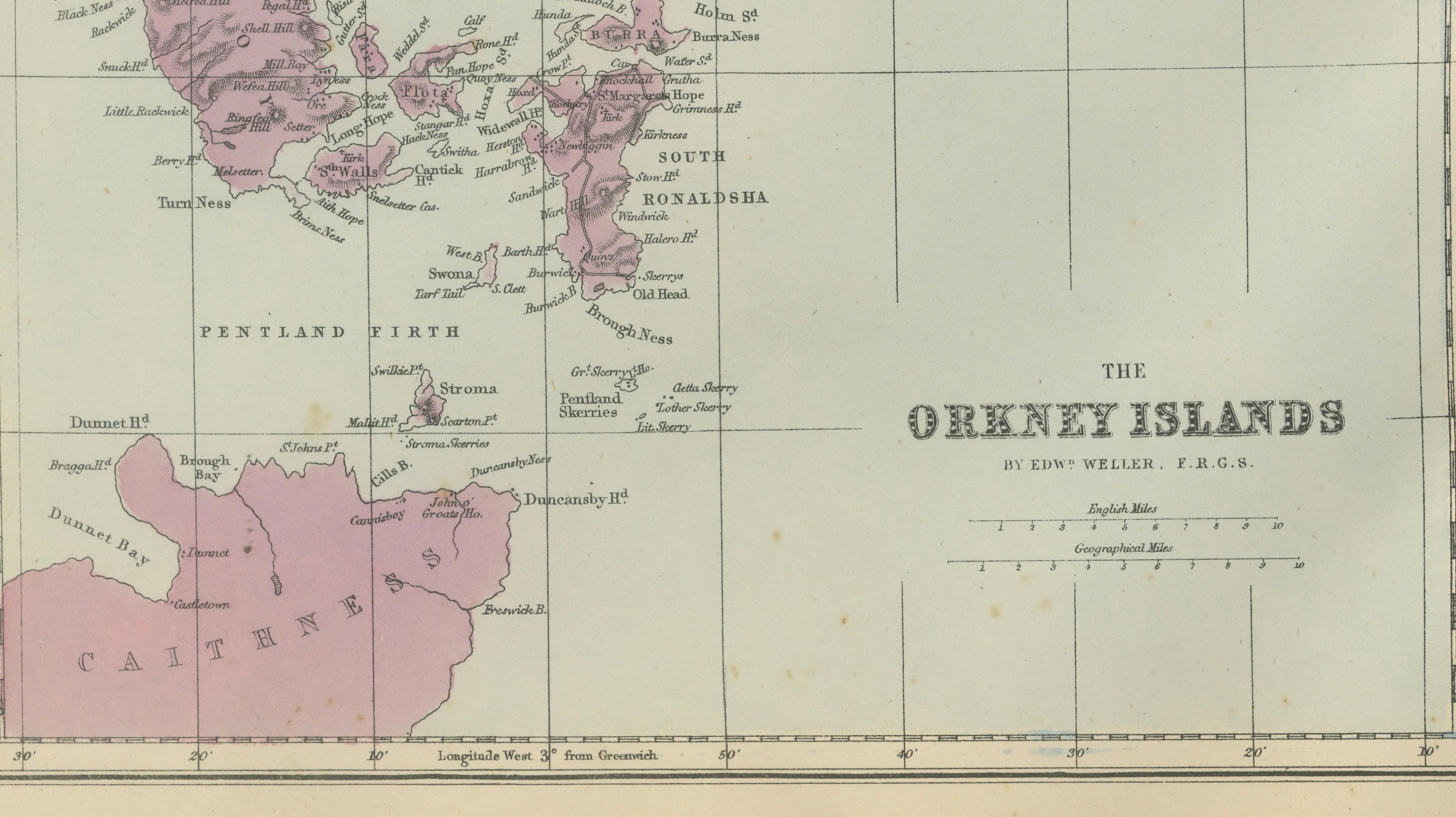
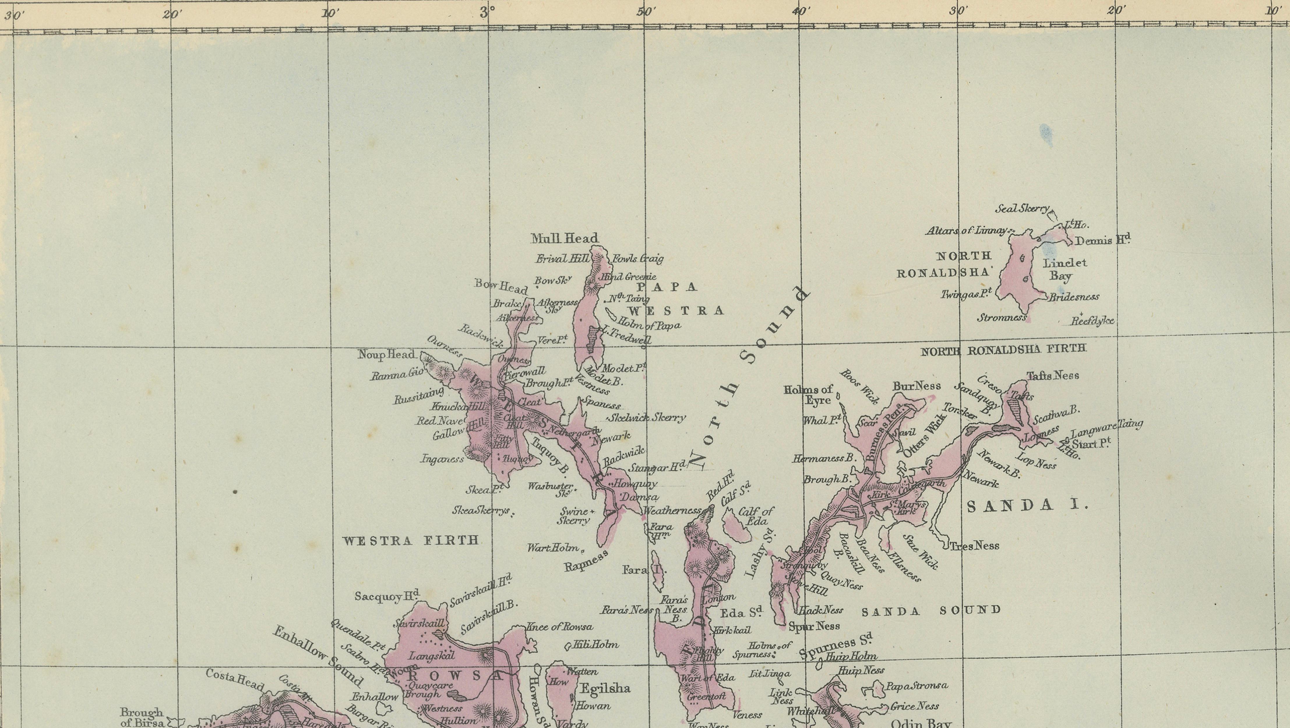
This finely engraved Victorian map depicting the Orkney Islands and the Shetland Islands was published in London in 1885 by George W. Bacon as part of his important New Large Scale Ordnance Atlas of the British Isles. The plate is drawn by Edward Weller, F.R.G.S., whose name appears prominently on the sheet and whose work is closely associated with high-quality Ordnance Survey–derived cartography of the late 19th century.
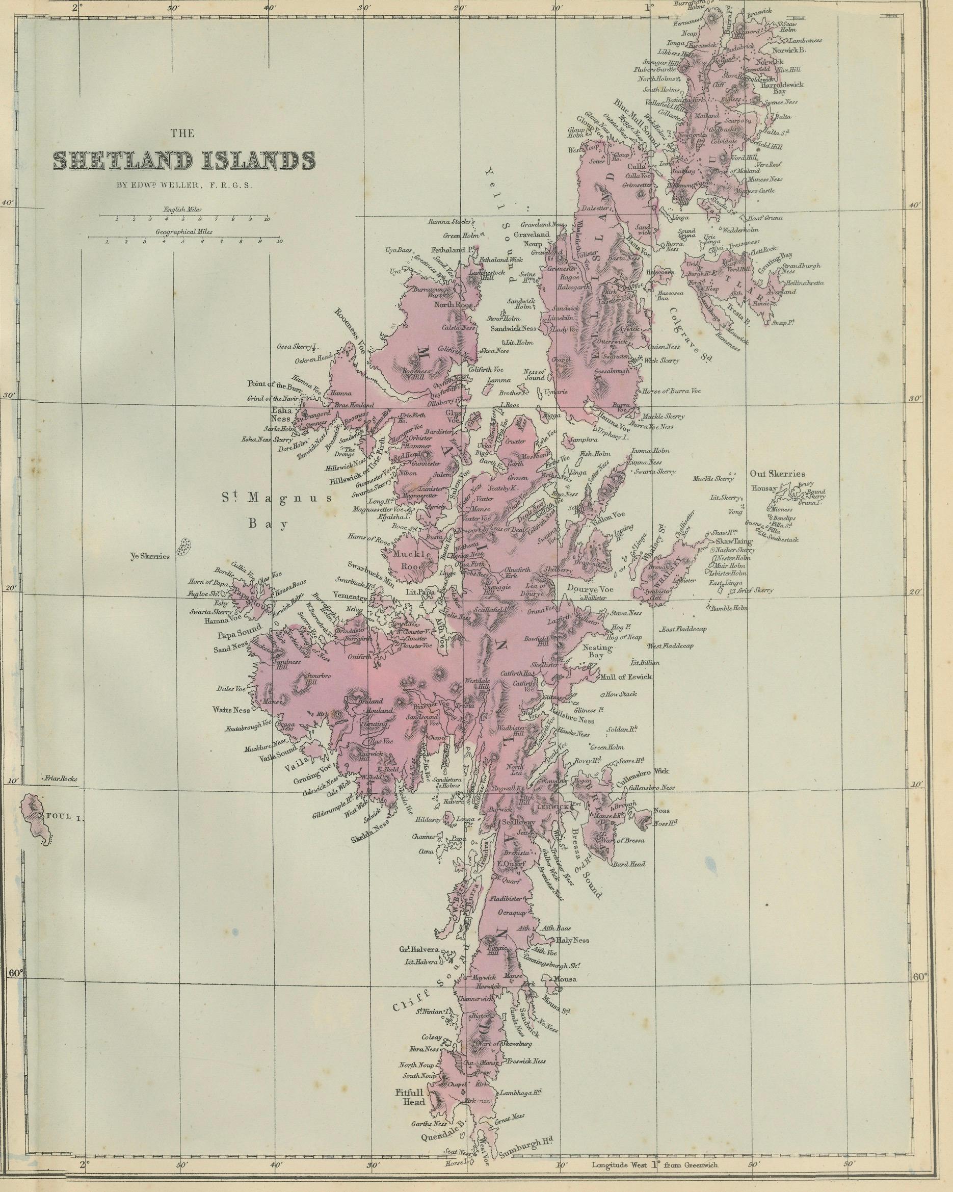
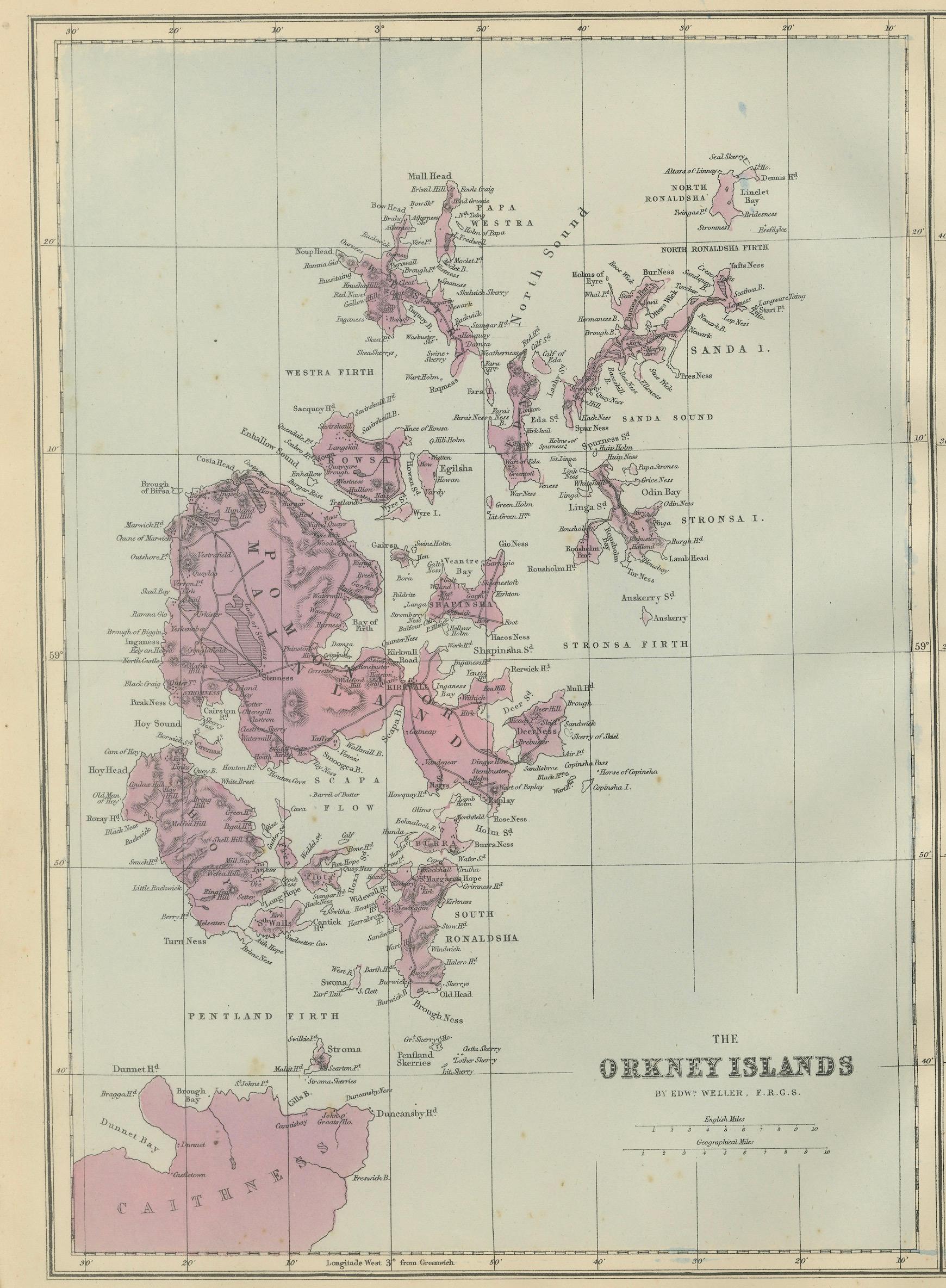
The map is presented in two tall panels: Orkney to the left and Shetland to the right, each rendered at a generous scale that allows for exceptional geographic clarity. Coastlines, sea channels, voes, firths, and islands are engraved with remarkable precision, while relief is indicated through subtle hachuring that conveys the rugged character of these northern archipelagos. Original outline colour is used sparingly to distinguish land areas, creating a restrained and elegant visual effect characteristic of Bacon’s atlases.
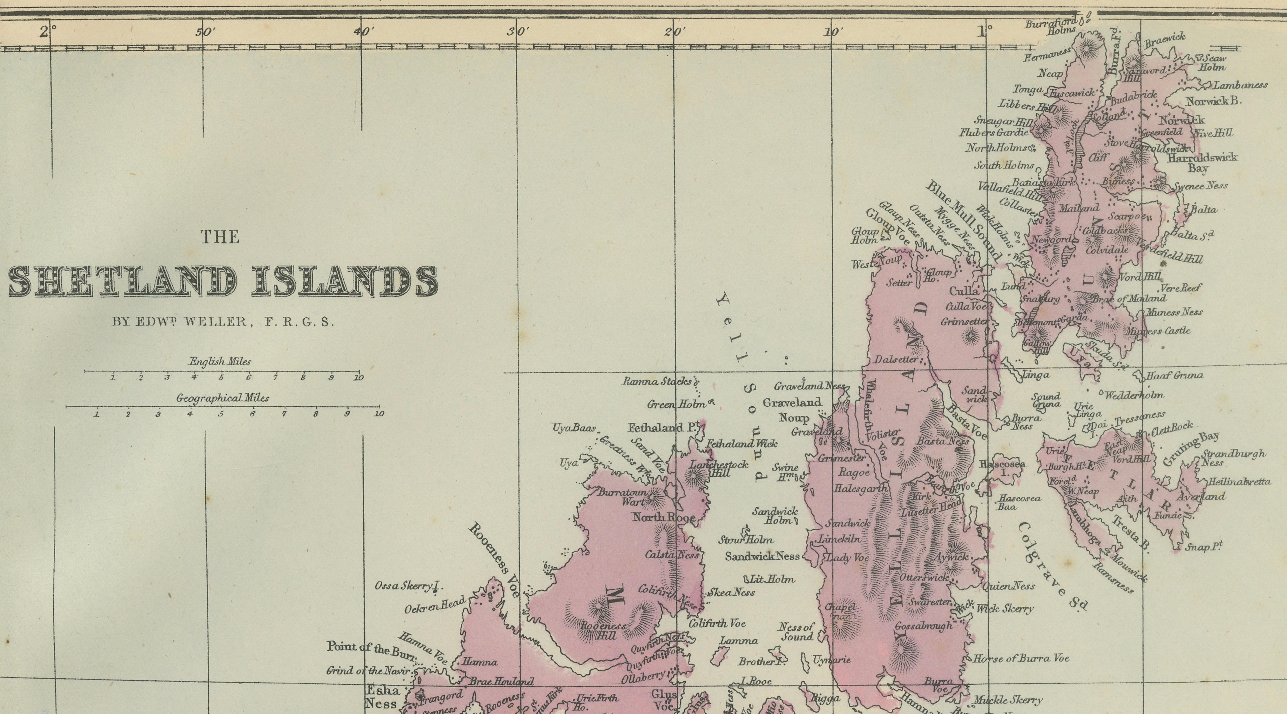
In the Orkney panel, Mainland, Hoy, South Ronaldsay, Rousay, Westray, and Stronsay are clearly shown, along with the Pentland Firth and the nearby Caithness coast. The Shetland panel provides an especially striking vertical composition, stretching from Sumburgh Head in the south to Unst in the far north, with detailed treatment of Yell, Fetlar, and the deeply indented coastal voes around Lerwick and Scalloway. The maritime emphasis of the engraving reflects the long-standing naval, fishing, and trading importance of these islands.
Maps from Bacon’s large-scale Ordnance-style atlases are increasingly valued for their combination of technical accuracy and refined Victorian design. This sheet is particularly appealing due to its dramatic vertical format and the clarity with which it presents two of Britain’s most distinctive island groups, making it equally suitable for scholarly interest, regional heritage collections, or elegant wall display.
Keyword block:
Orkney Islands, Shetland Islands, Mainland Orkney, Hoy, South Ronaldsay, Rousay, Westray, Stronsay, Kirkwall, Stromness, Pentland Firth, Caithness, Mainland Shetland, Lerwick, Scalloway, Yell, Fetlar, Unst, Sumburgh Head, St Magnus Bay, Victorian map, Ordnance Survey style, Edward Weller, George W Bacon, London 1885
Condition report:
Good antique condition. Light age-related toning with scattered small spots, mainly in the margins. Central vertical fold as issued. Original outline colour remains fresh and well preserved. No significant tears or losses.
Framing tips:
This double-panel composition benefits from a taller frame format. A dark walnut or ebonised frame with an off-white or light stone-coloured mat will emphasise the verticality and coastal detail, creating a strong visual statement well suited to libraries, studies, or coastal-inspired interiors.
Technique: Lithograph with original outline colour
Maker: Edward Weller after Ordnance Survey, published by George W. Bacon, London, 1885