About this sheet
Channel Islands Map, Jersey Guernsey Alderney Sark, Bacon London 1885
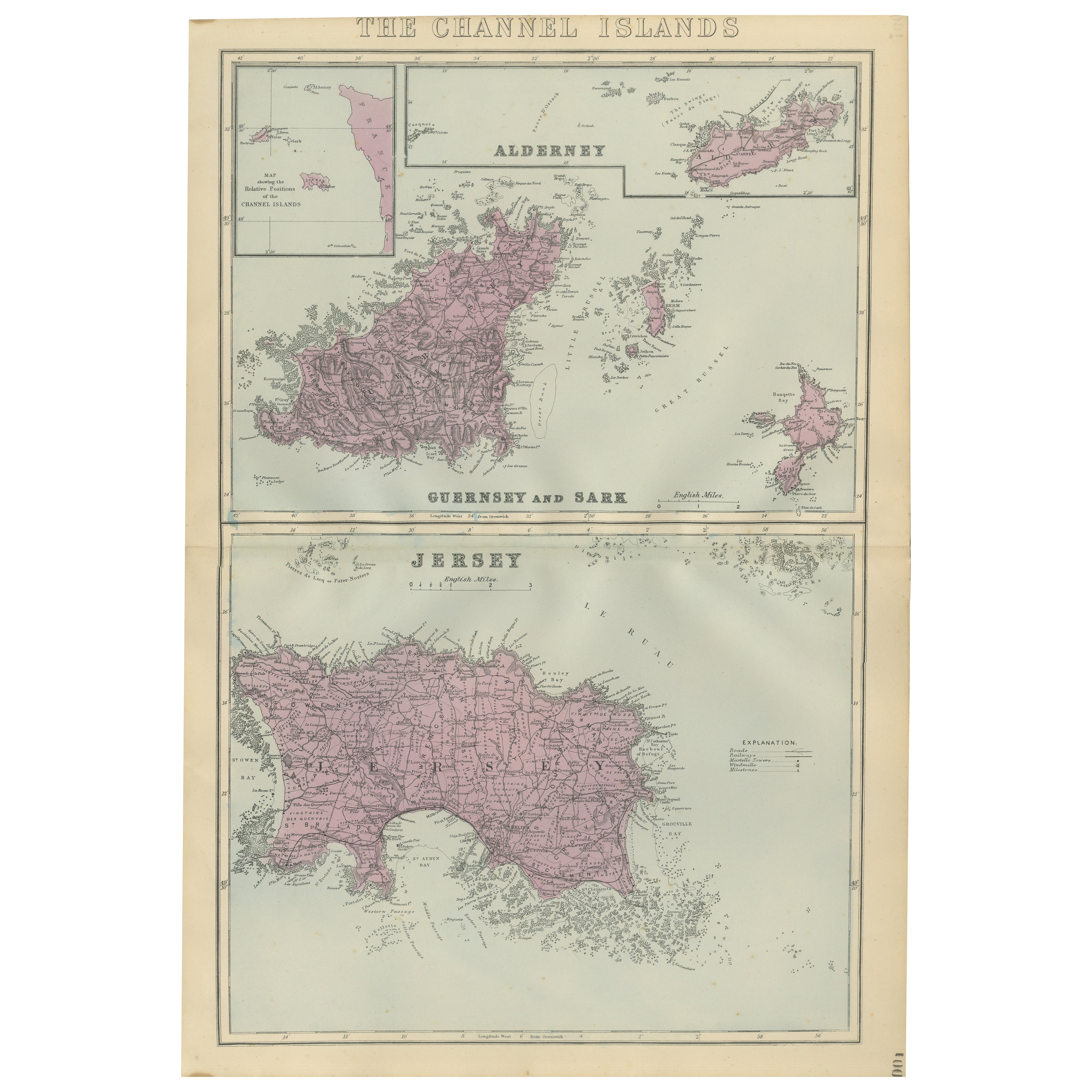
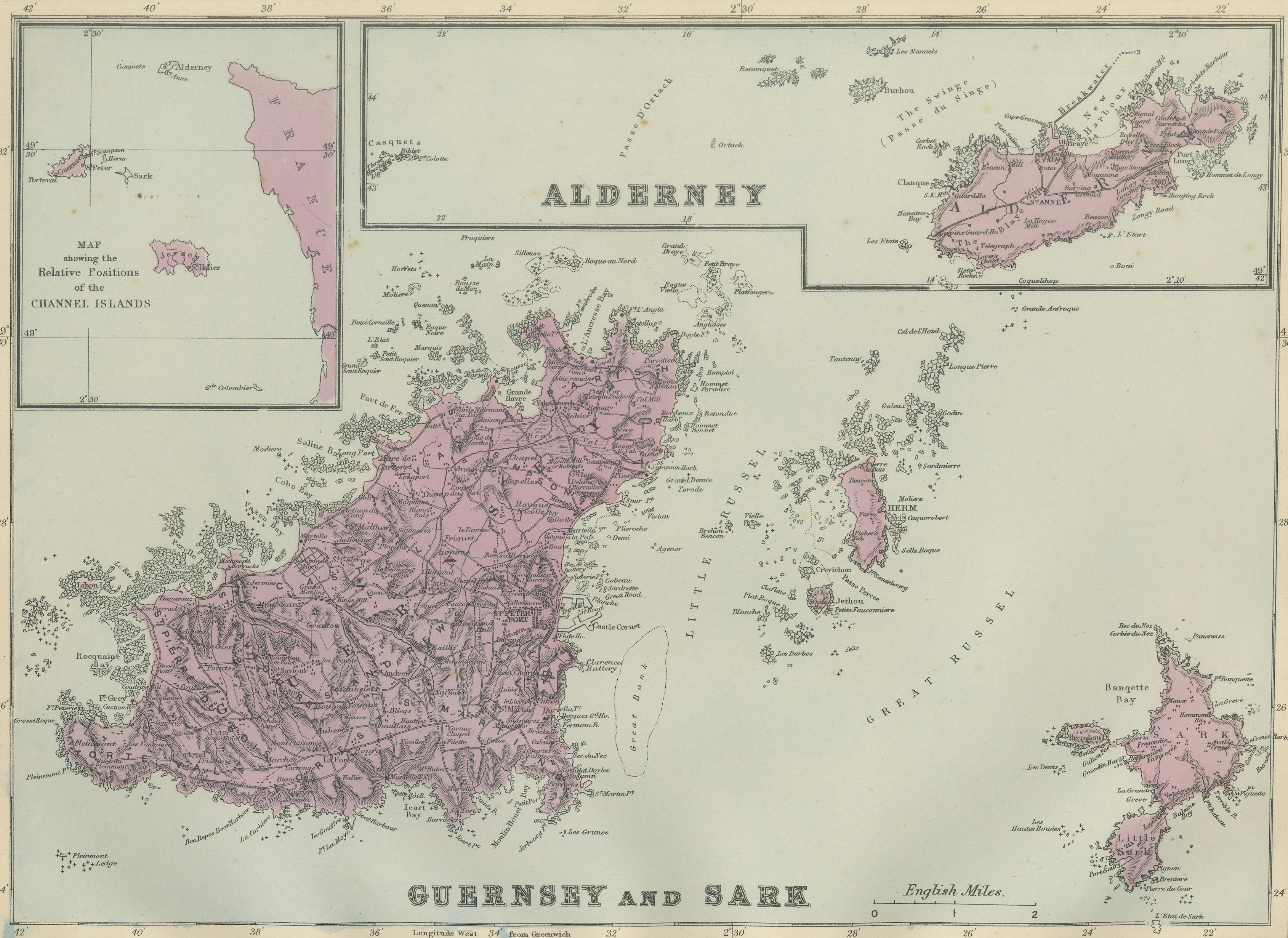
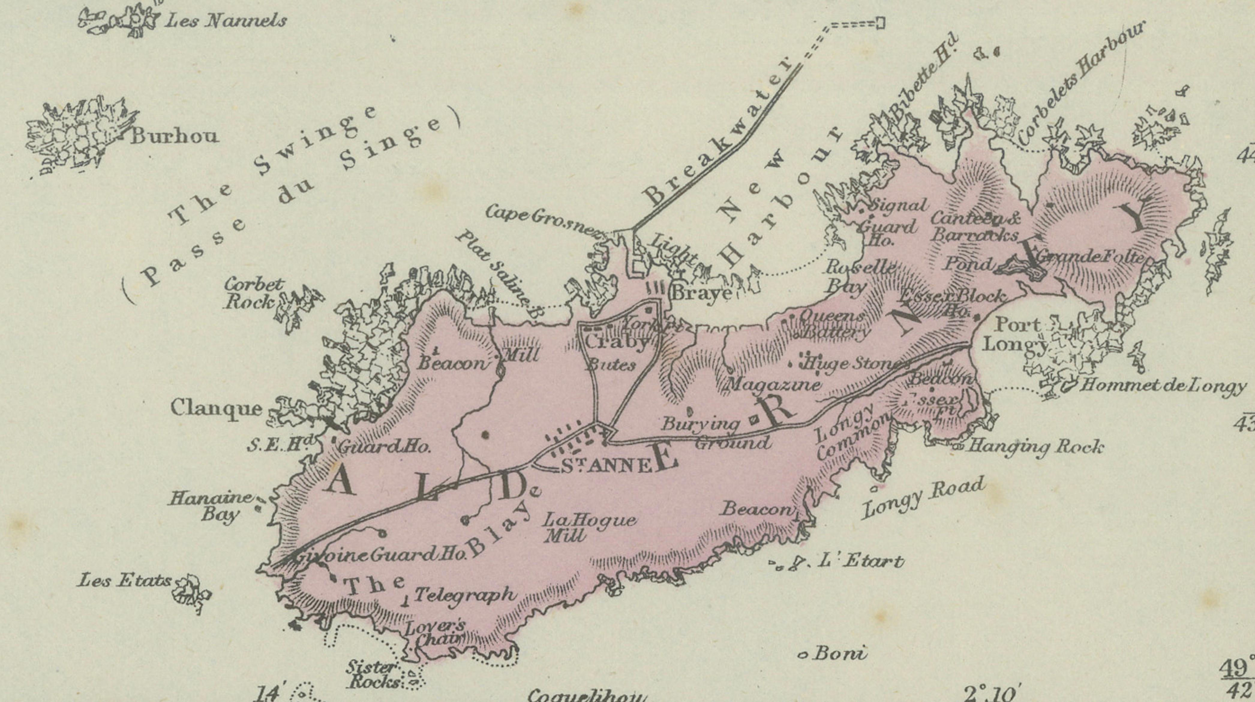
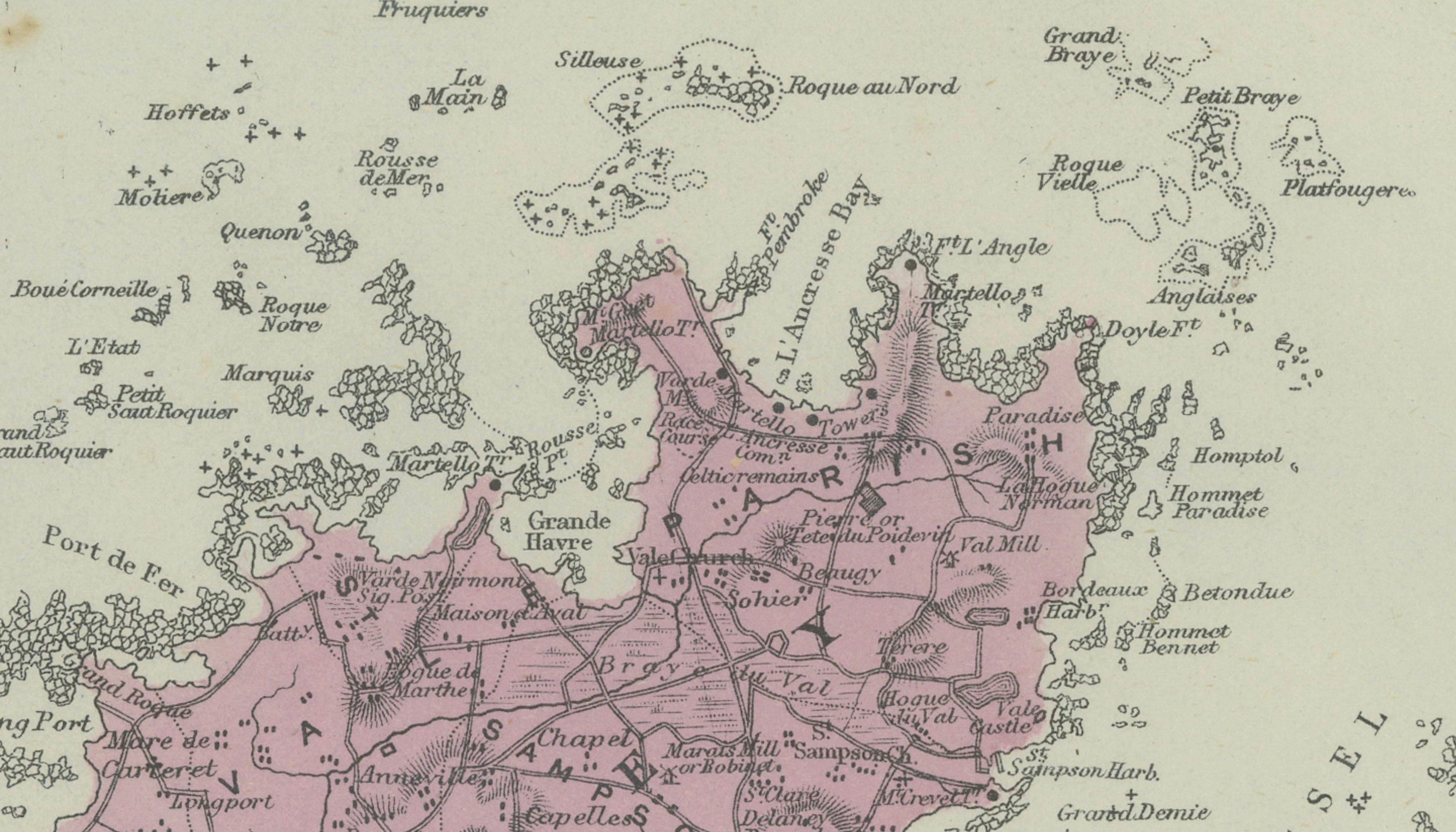
This finely detailed late-Victorian map of the Channel Islands was published in London in 1885 by George W. Bacon as part of his influential 'New Large Scale Ordnance Atlas of the British Isles'. The map presents the Channel Islands in a clear and highly legible multi-panel format, with separate large-scale treatments of Jersey, Guernsey and Sark, Alderney, and the smaller surrounding islands, accompanied by an inset showing their relative position off the French coast.
Bacon was one of the most respected English map publishers of the second half of the 19th century, renowned for combining official Ordnance Survey data with elegant commercial engraving. This plate reflects that balance perfectly: roads, parishes, coastal details, bays, and settlements are rendered with precision, while subtle original outline colour distinguishes administrative areas and enhances visual clarity without overpowering the design.
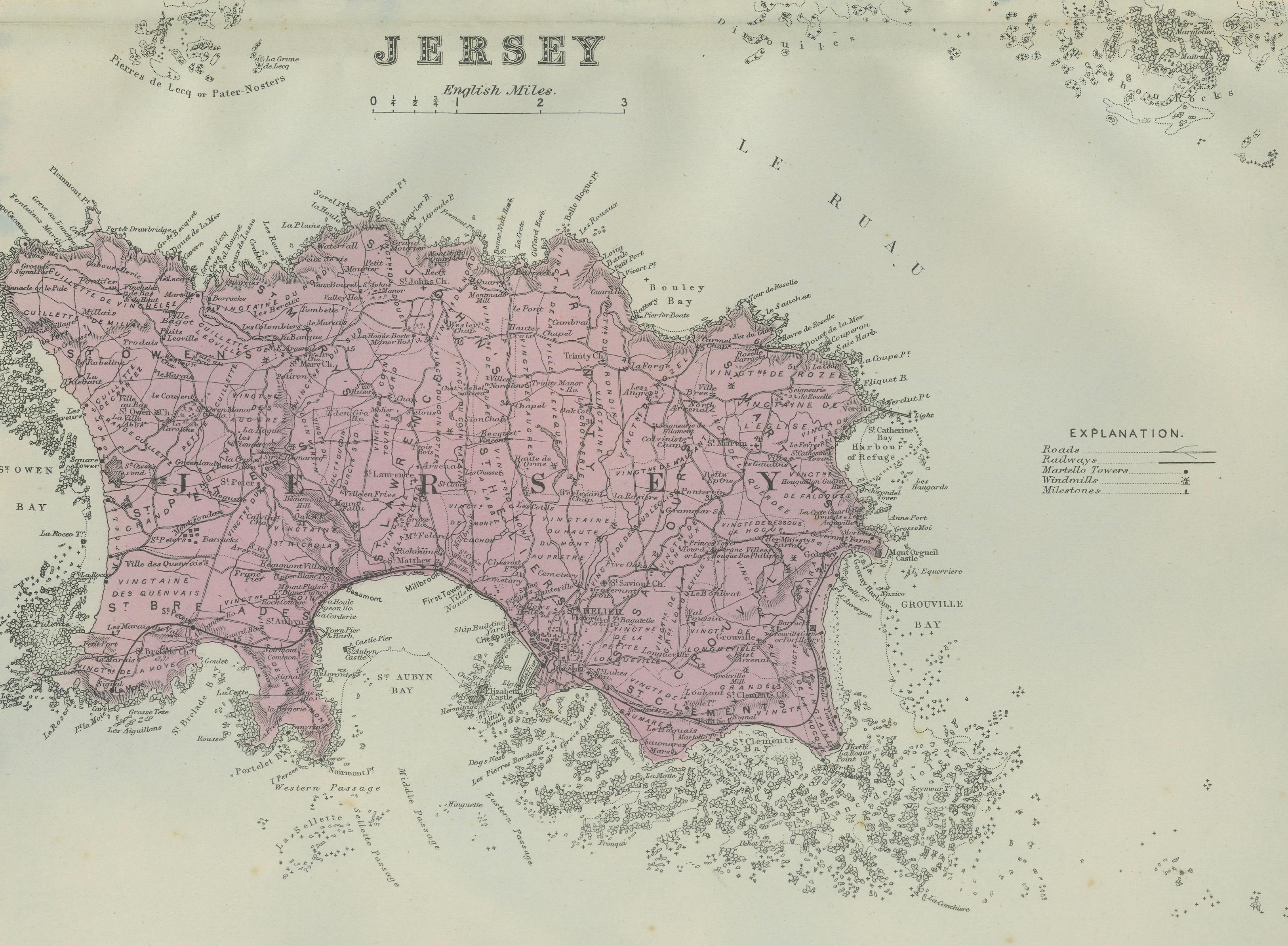
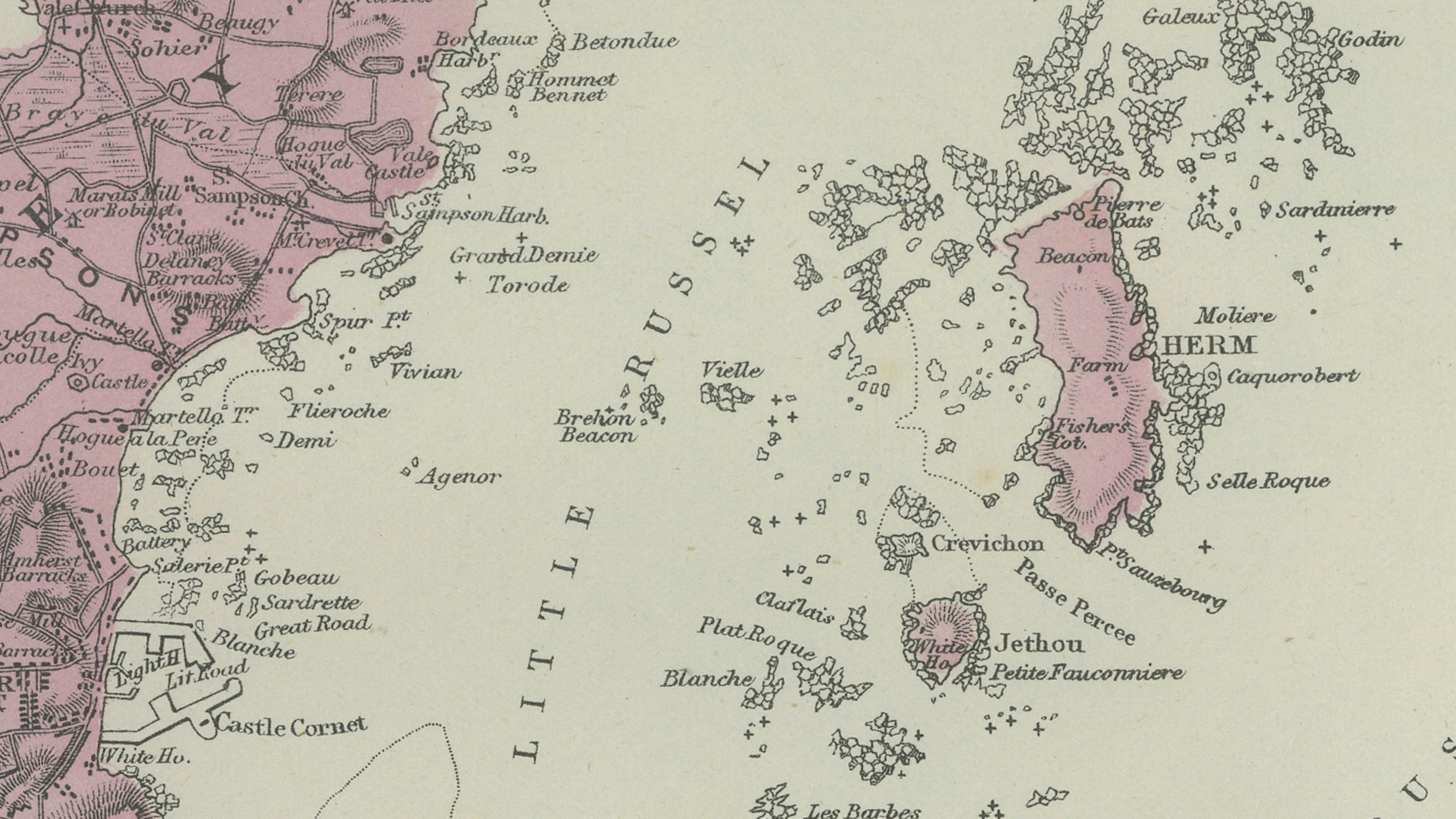
The Jersey map occupies the lower half of the sheet and is especially detailed, showing an intricate road network, bays such as St Aubin’s Bay and Grouville Bay, and numerous towns and parishes. Above, Guernsey and Sark are shown together, with Alderney given its own panel, allowing each island’s geography to be clearly understood at a glance. Coastal rocks, reefs, and maritime features are carefully engraved, underscoring the islands’ strategic and nautical importance.
Maps from Bacon’s large-scale atlases are increasingly sought after by collectors, interior designers, and clients with a connection to the Channel Islands. This example is particularly appealing for its balanced composition, gentle colouring, and strong decorative presence, making it equally suitable for historical study or refined wall display in both classic and contemporary interiors.
Keyword block:
Channel Islands, Jersey, Guernsey, Alderney, Sark, Herm, Jethou, Jersey Town, St Helier, St Aubin, Grouville, St Peter Port, Castel, Vale, Bordeaux Harbour, St Anne, British Isles, English Channel, Victorian map, Ordnance Survey style, George W Bacon, London map 1885
Condition report:
Good antique condition. Light age-related toning and minor scattered spotting, mainly in the margins. Central folds as issued. Original outline colour well preserved. No major tears or losses.
Framing tips:
This map frames beautifully with a medium to dark walnut or ebonised frame paired with an off-white or light ivory mat. A generous mat will emphasise the pale sea tones and delicate engraving, giving the piece a calm, architectural presence ideal for studies, libraries, or coastal interiors.
Technique: Lithograph with original outline colour
Maker: George W. Bacon, London, 1885