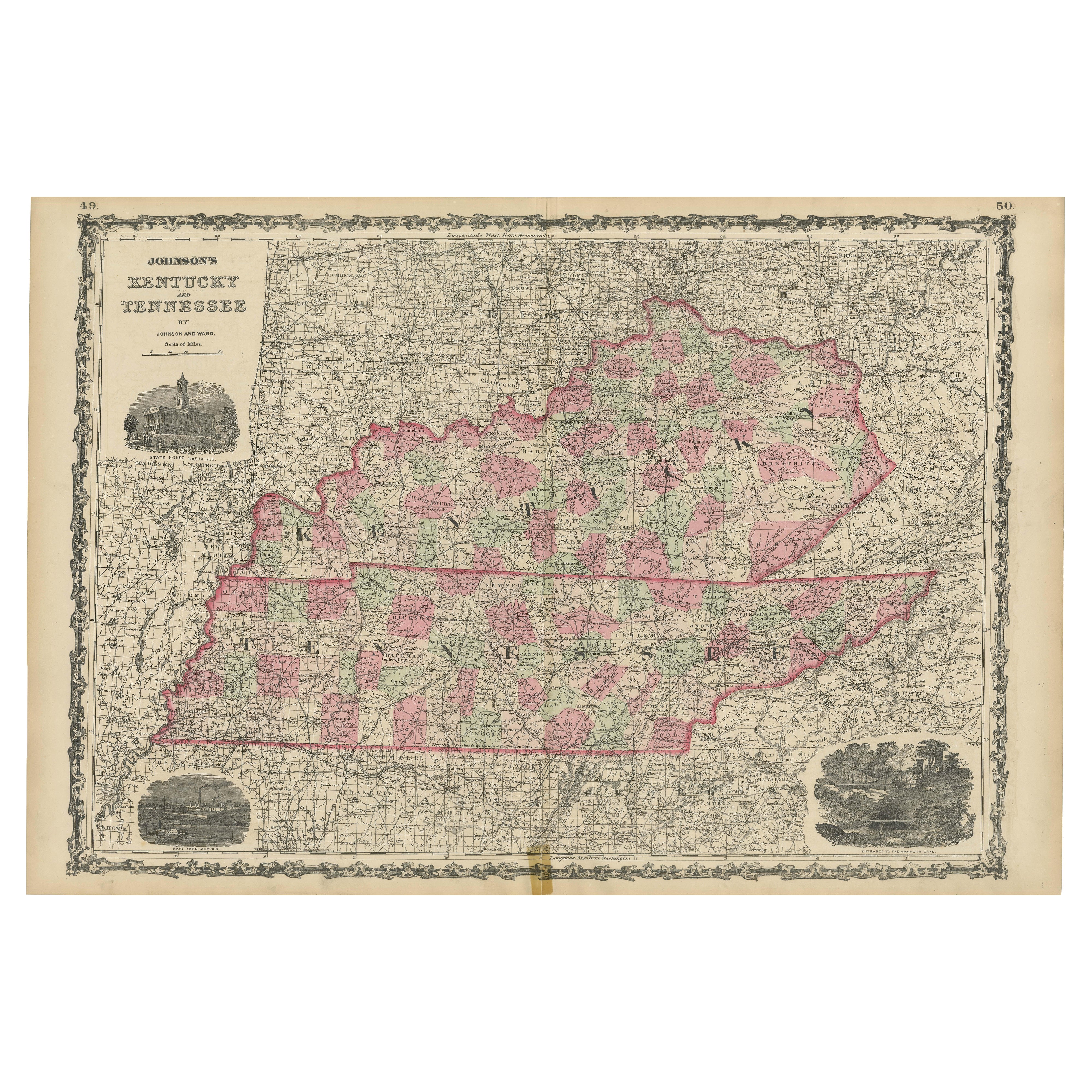
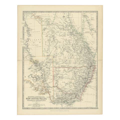
Civil War Era Map of Kentucky and Tennessee with Scenic Insets, Published 1864
€ 340
One of a kind: this is the sheet in the photographs. Ships from Langweer, the Netherlands.
Date
1864
Sheet size
45.7 × 67 cm (18.0 × 26.4 in)
Condition
Good
Reference
BG-13952-15
Condition
Map is in good condition for its age, with light toning and minor foxing along the edges. There are small tears at the fold lines, but no major losses. Small tape remain at bottom. Colors remain vivid, and the paper shows slight wear but is intact.
About this sheet
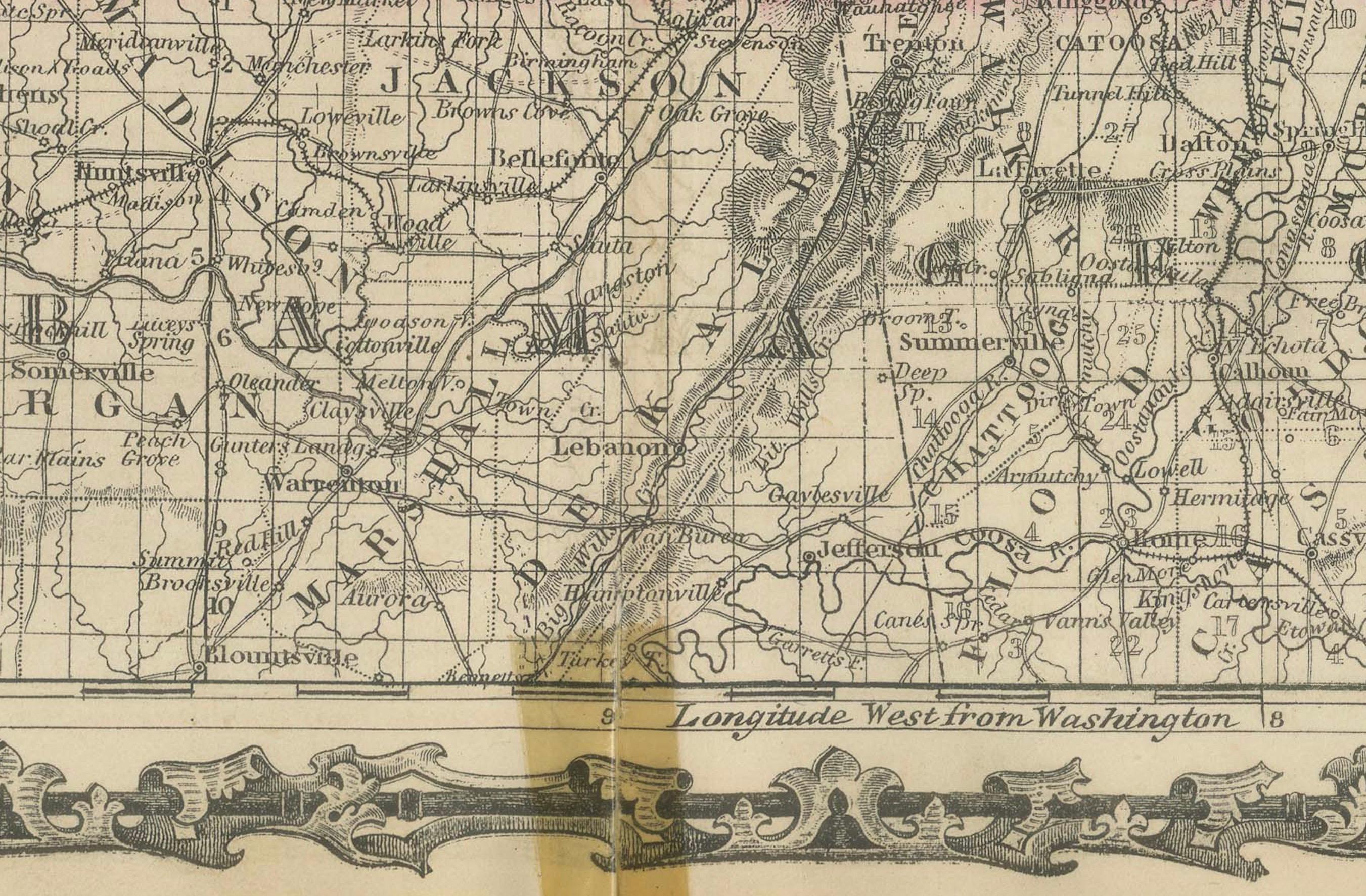
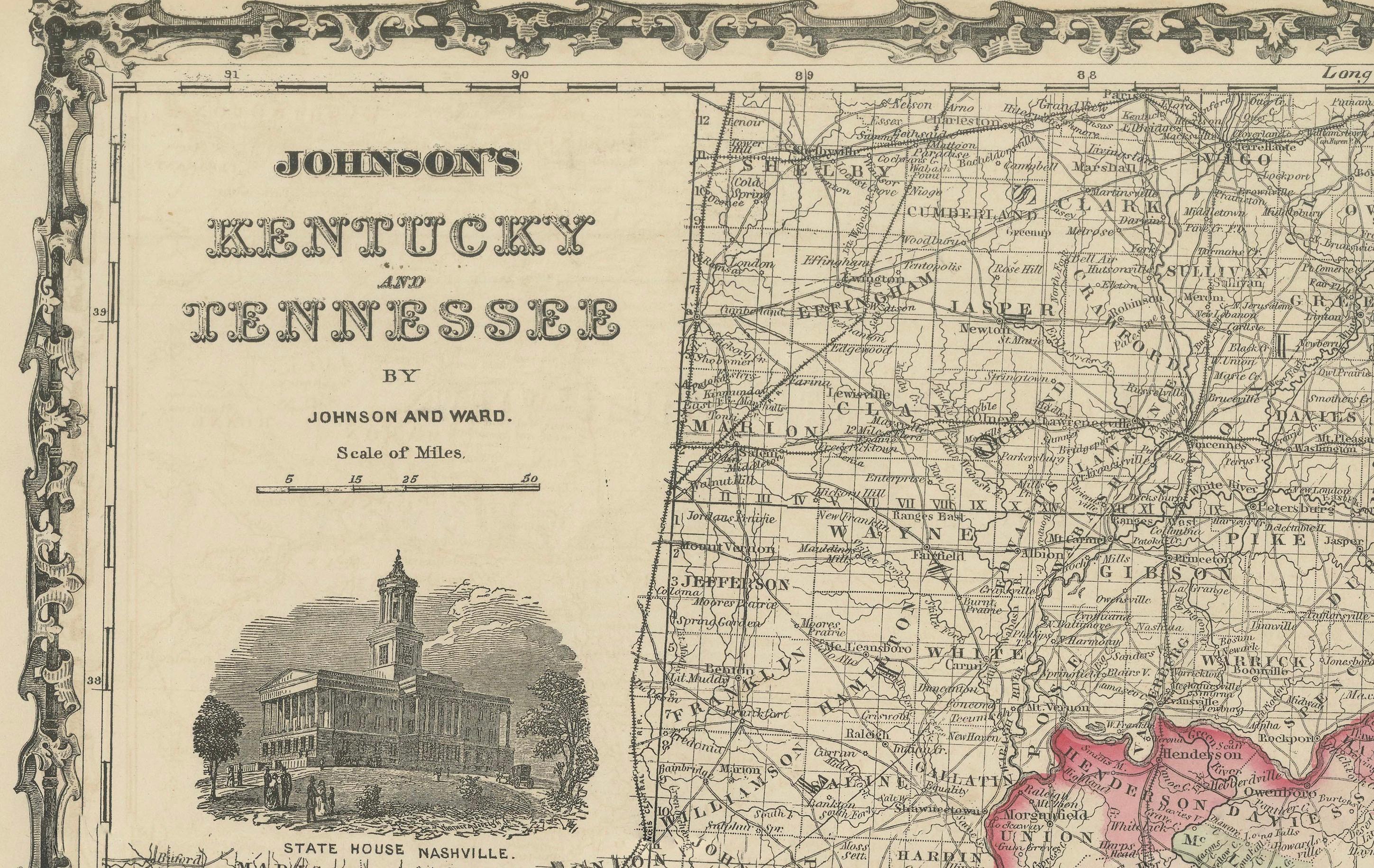
Rare 1864 Civil War Era Map of Kentucky and Tennessee with Scenic Insets This stunning antique map, titled "Johnson's Kentucky and Tennessee," was published in 1864 by Johnson and Ward, a renowned American mapmaking firm celebrated for their meticulous and aesthetically pleasing atlases in the mid-19th century.
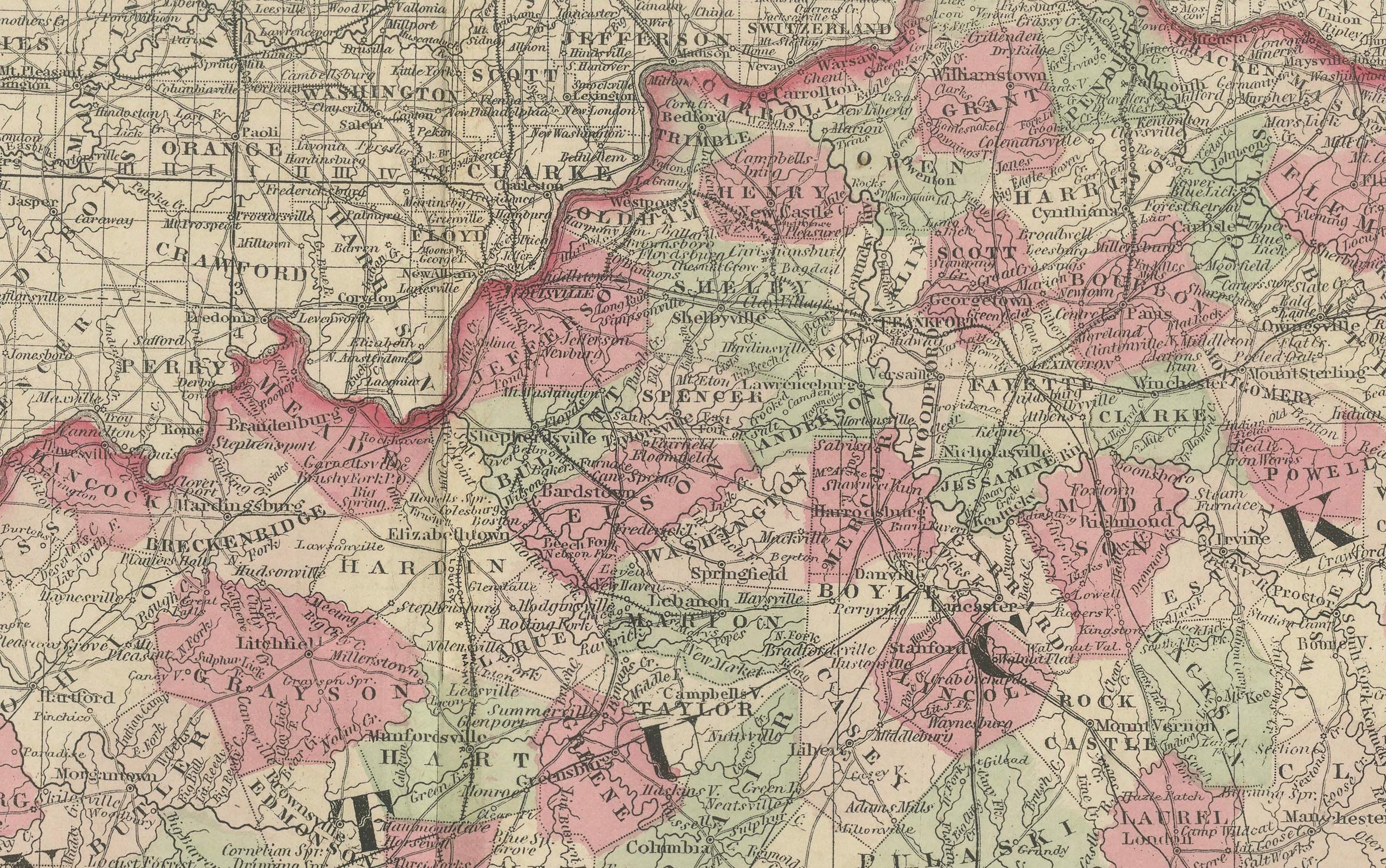
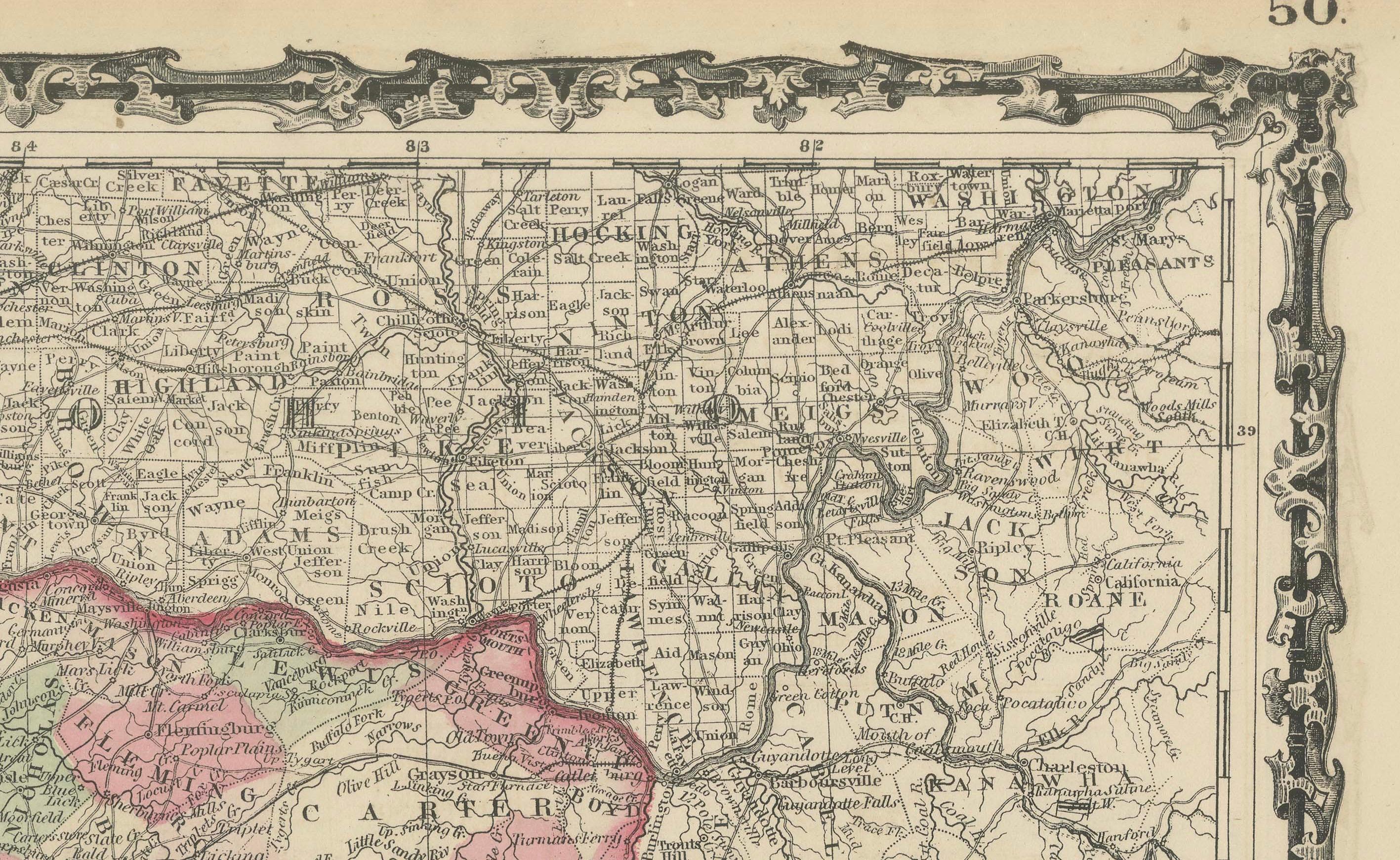
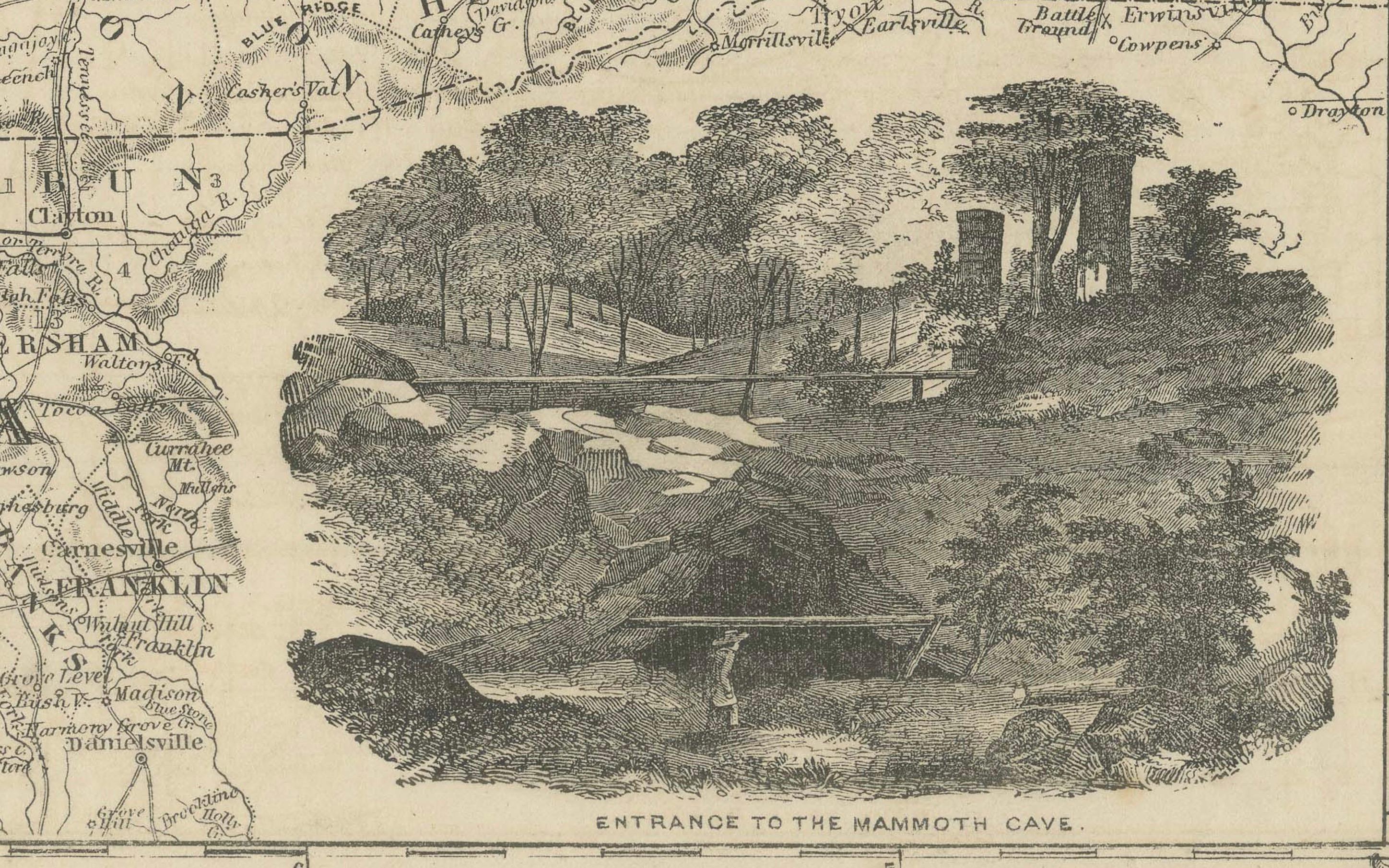
The map intricately details the states of Kentucky and Tennessee, showcasing counties, towns, railroads, and geographical features of the period. Counties are outlined in a vibrant pink, with a soft green wash filling the background, creating a striking visual contrast. A decorative border frames the map, enhancing its antique allure, while two detailed inset illustrations—depicting the State House in Nashville and the Entrance to Mammoth Cave—offer a glimpse into the region’s architectural and natural landmarks.
The map was crafted using the steel engraving technique, known for its precision and ability to produce fine lines and intricate details, evident in the crisp text and ornate design elements.
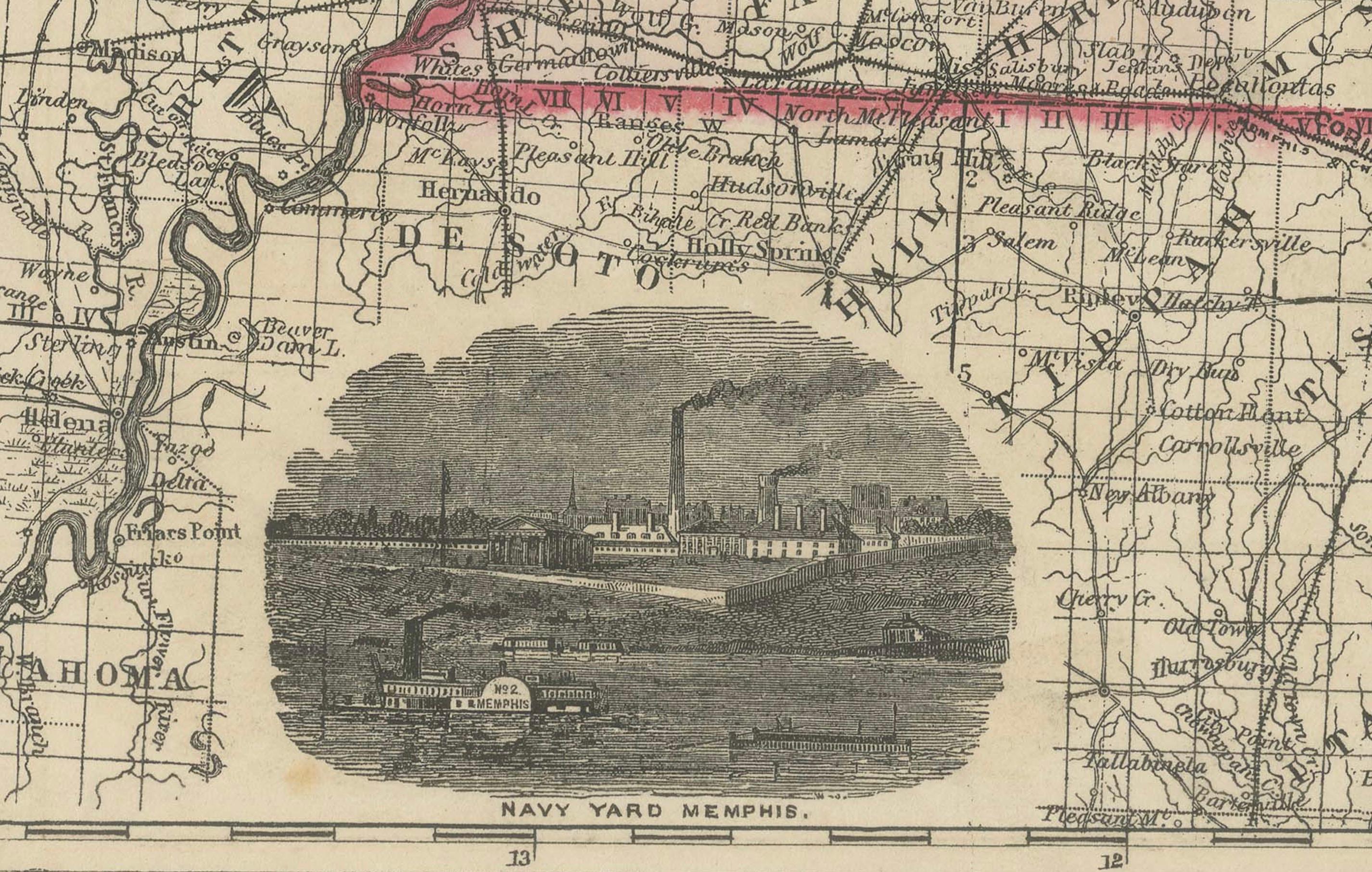
What makes this map particularly fascinating is its historical context: produced during the Civil War, it captures Kentucky and Tennessee at a time when they were critical border states, reflecting their strategic importance through detailed depictions of infrastructure like railroads. The map also includes a small inset of the Navy Yard at Memphis, highlighting the region’s military significance. Collectors and historians will value this map for its ability to transport viewers to a pivotal moment in American history, blending functional cartography with artistic beauty, making it a prized addition to any collection of antique maps or Civil War memorabilia.
Condition Report: The map is in good condition for its age, with light toning and minor foxing along the edges. There are small tears at the fold lines, but no major losses. Small tape remain at the bottom. Colors remain vivid, and the paper shows slight wear but is intact.
Framing Tips: Use an acid-free mat to prevent discoloration and UV-protective glass to shield from light damage. A classic wooden frame with a gold accent enhances the map’s vintage charm. A soft ivory or off-white matting board would work best. This color echoes the aged paper tone of the map, creating a seamless and elegant look that emphasizes its antique quality. It provides a neutral backdrop that allows the map’s pink and green hues to stand out without clashing. Additionally, an off-white mat maintains a classic, museum-quality appearance, which is appealing to collectors of historical maps. Alternatively, if you want to add a subtle contrast, a pale sage green could be a good choice. Avoid tight pressing to reduce stress on the folds.