About this sheet
Antique Map of England, 1885 – County Colors, Railways & British Heritage
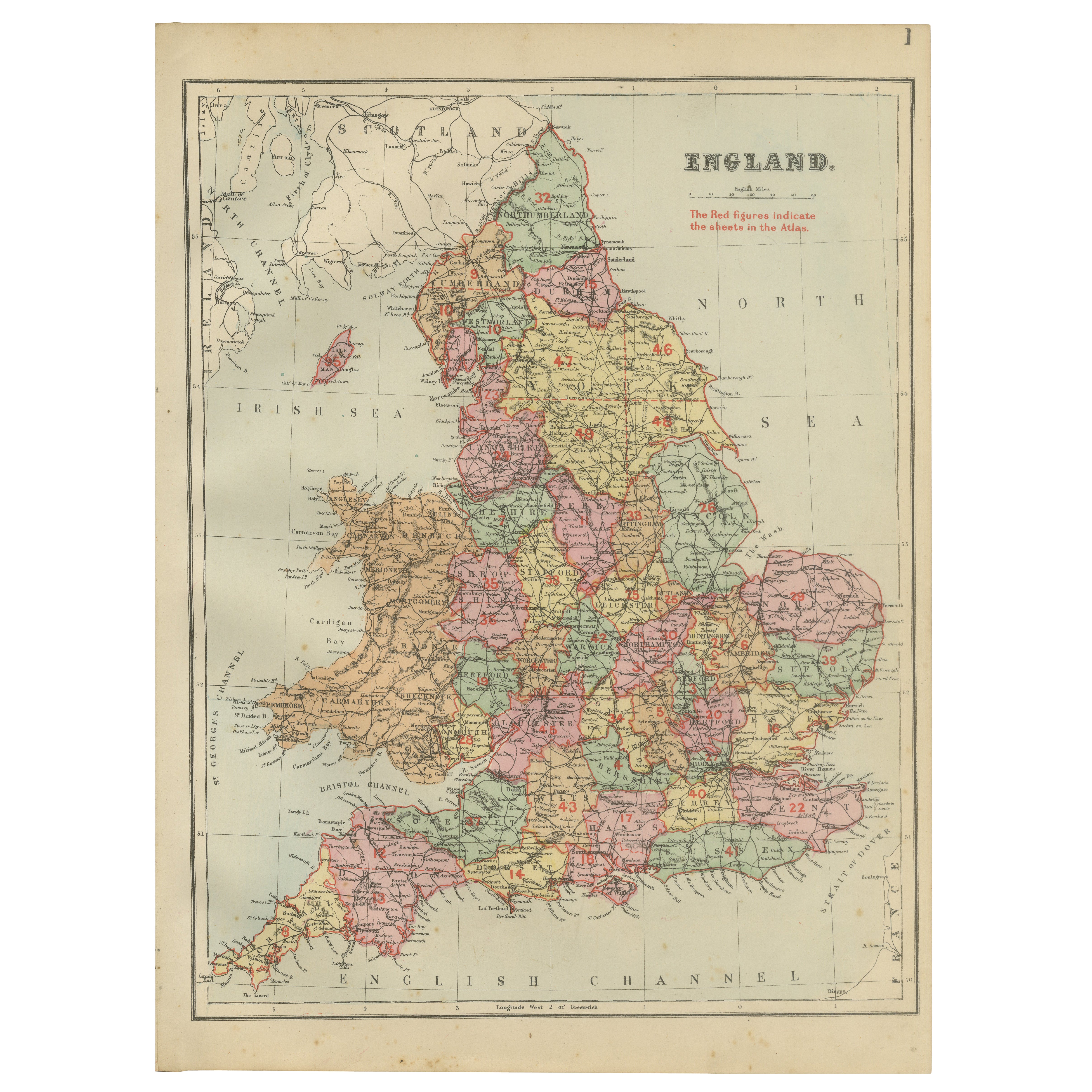
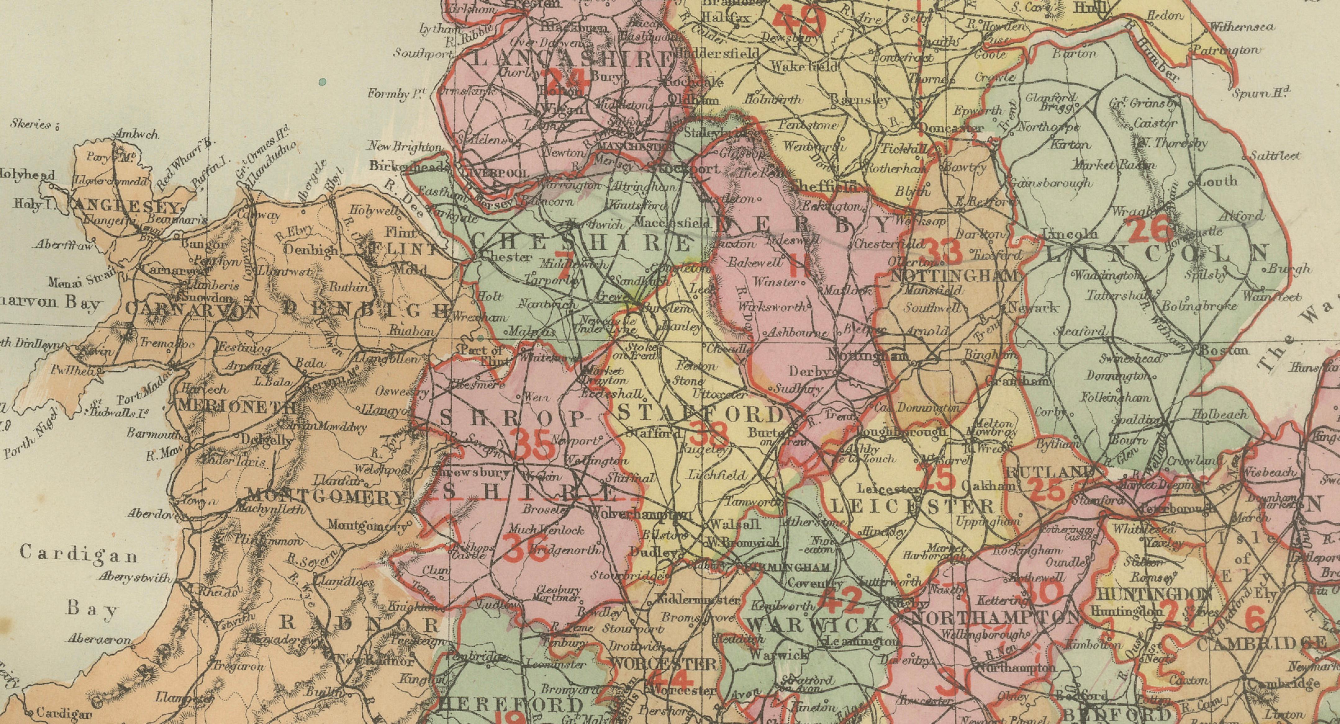
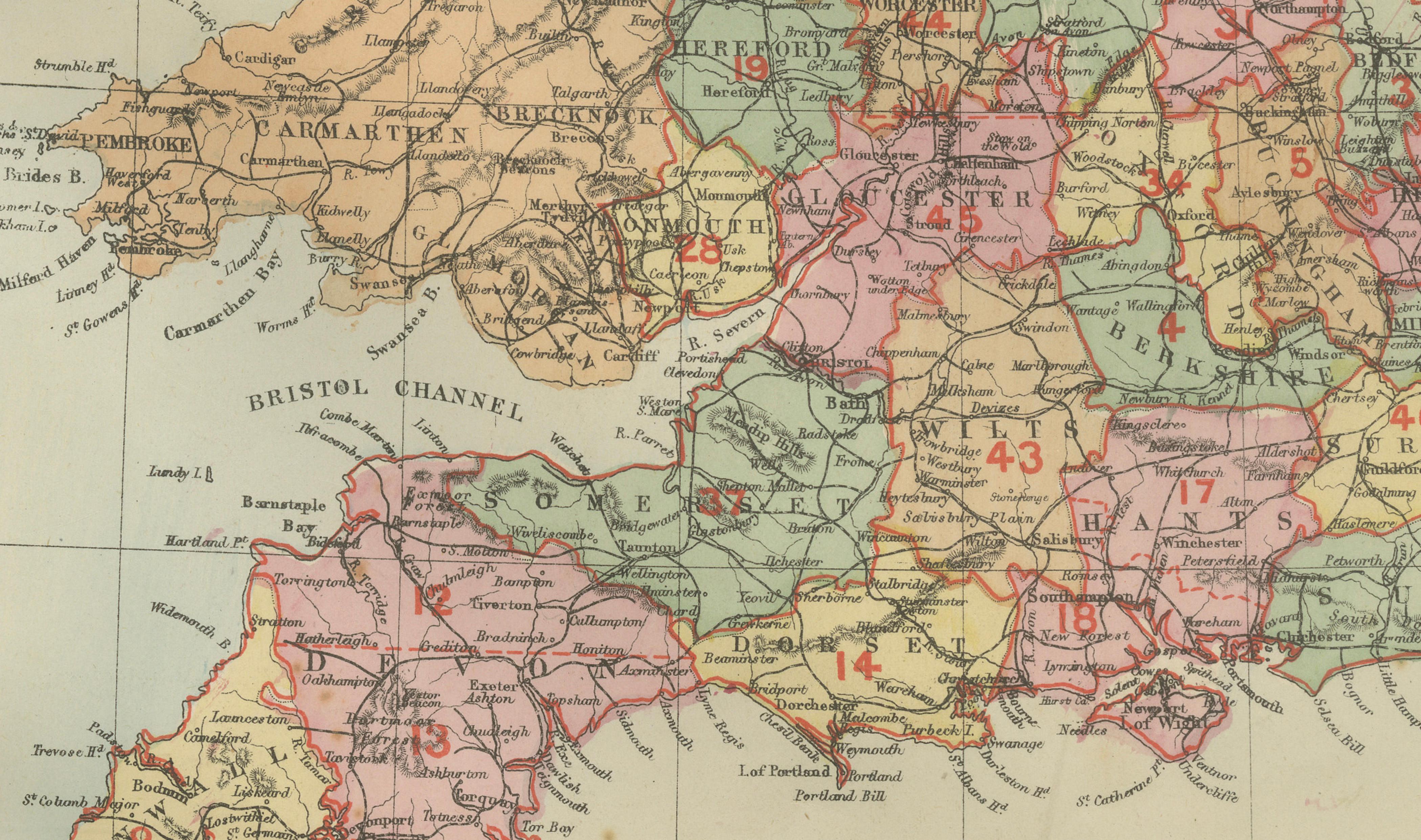
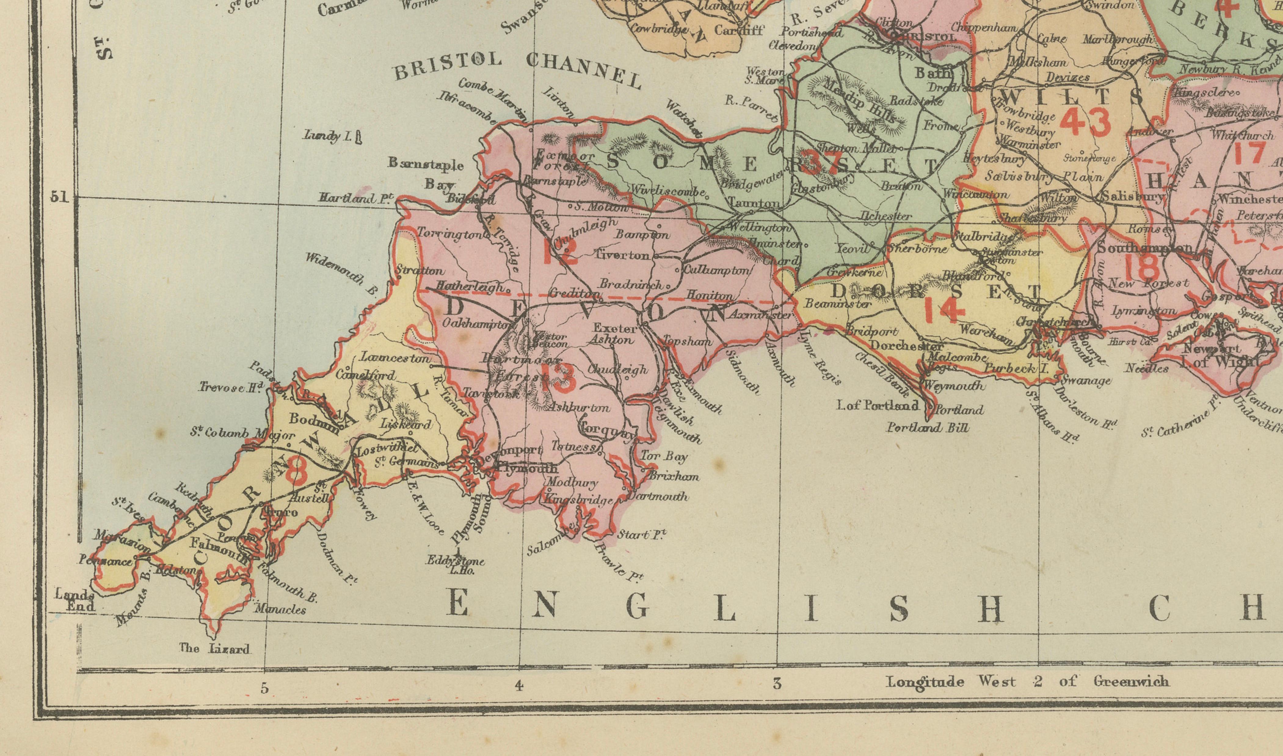
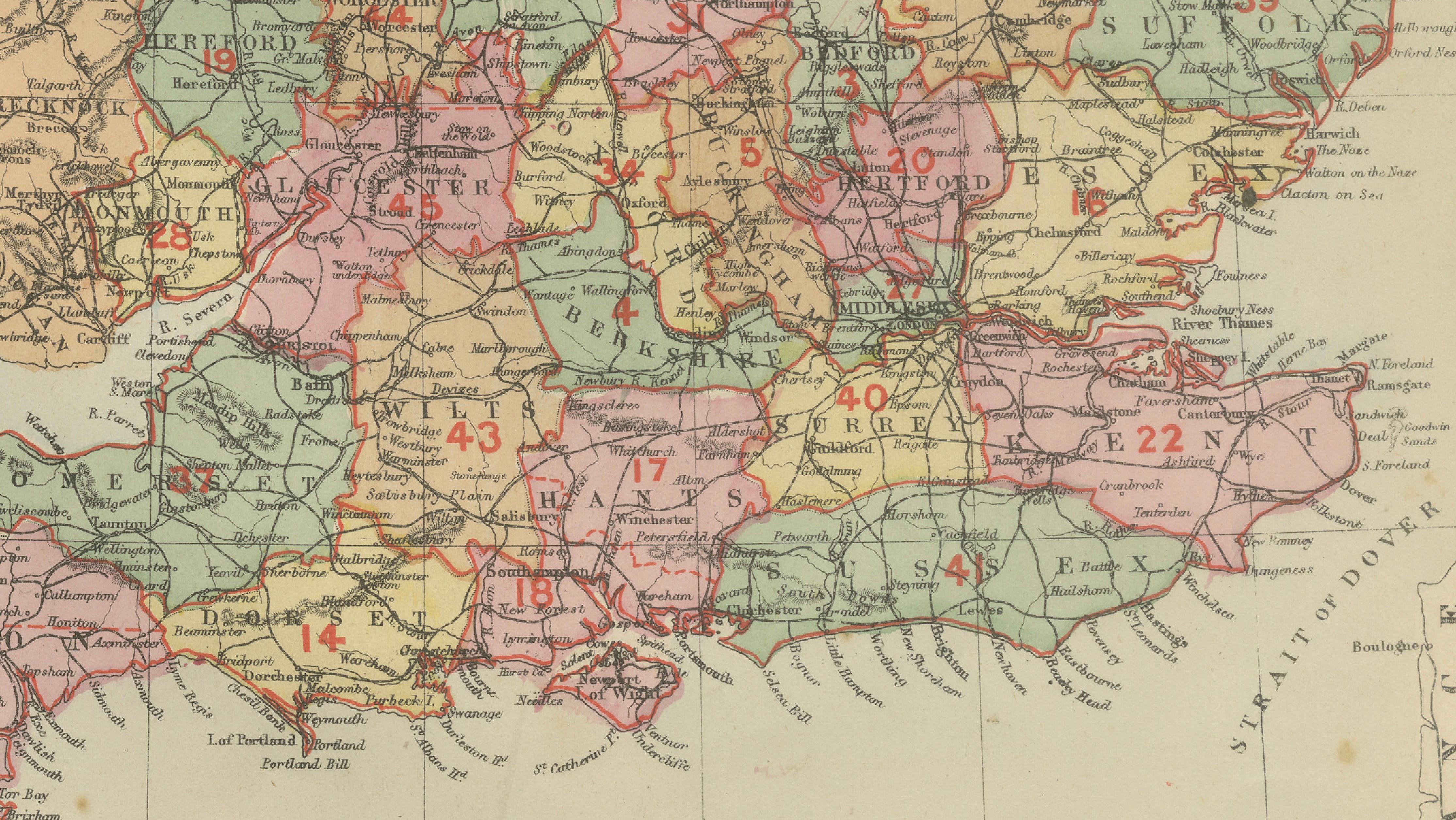
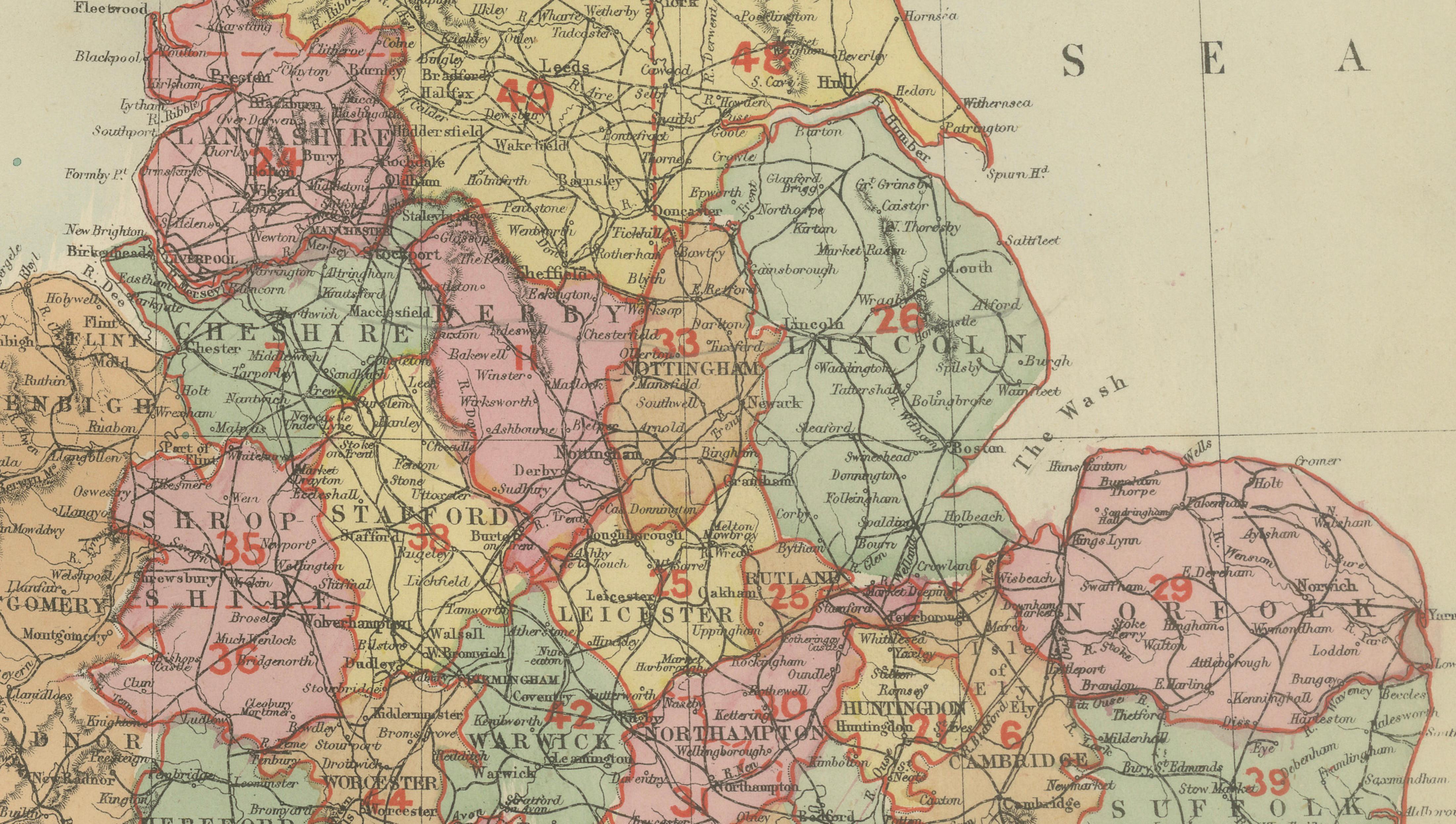
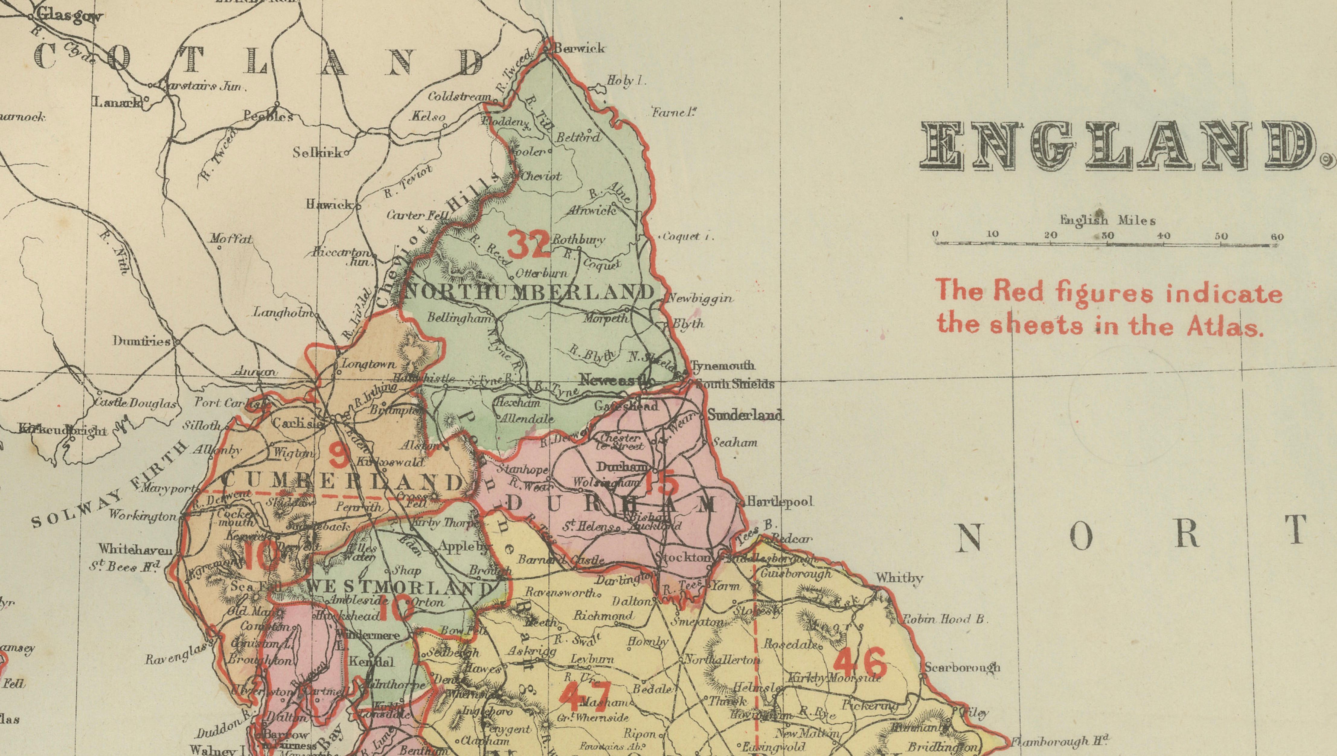
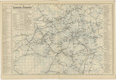
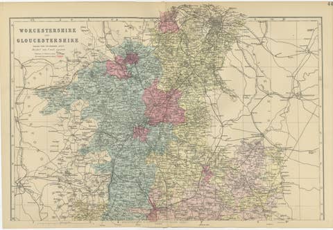
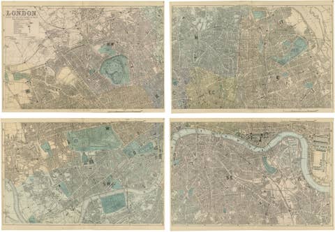
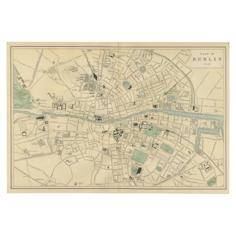
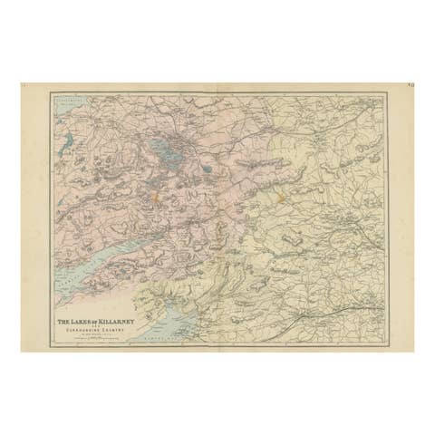
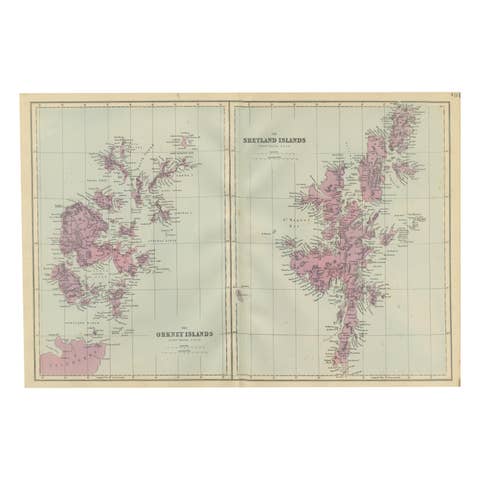
This attractive antique map of England was published in 1885 by George W. Bacon in London as part of the New Large Scale Ordnance Atlas of the British Isles with Plans of Towns. Drawn from Ordnance Survey data, it presents England divided into its historic counties, each highlighted in soft original color, with railways, roads, rivers, and towns finely detailed throughout.
NOTE: The map is offered unframed, giving flexibility to select a frame that best suits the intended interior. The attached image in a frame is to give an idea only.
The map balances precision with strong decorative appeal. The subtle palette, crisp typography, and red-outlined county boundaries create a harmonious composition that reads beautifully from both near and far. Red reference numbers, indicating atlas sheets, add an additional graphic layer that gives the map rhythm and visual interest without distracting from the overall design.
Ideal for interior designers and decorative buyers, this piece works especially well as wall art in studies, libraries, hallways, or hospitality interiors. It conveys a sense of travel, order, and British heritage, while remaining elegant and approachable rather than overly technical.
Condition Report:
Good antique condition. Mild age toning and light spotting consistent with age. No major tears or losses; original color remains fresh.
Framing Tips:
Dark walnut, black, or ebonized frames pair well with the historic character of the map. Use a simple ivory or warm off-white mat to keep the look refined and decorative.
Technique: Lithograph with original color
Maker: George W. Bacon, London, 1885