About this sheet
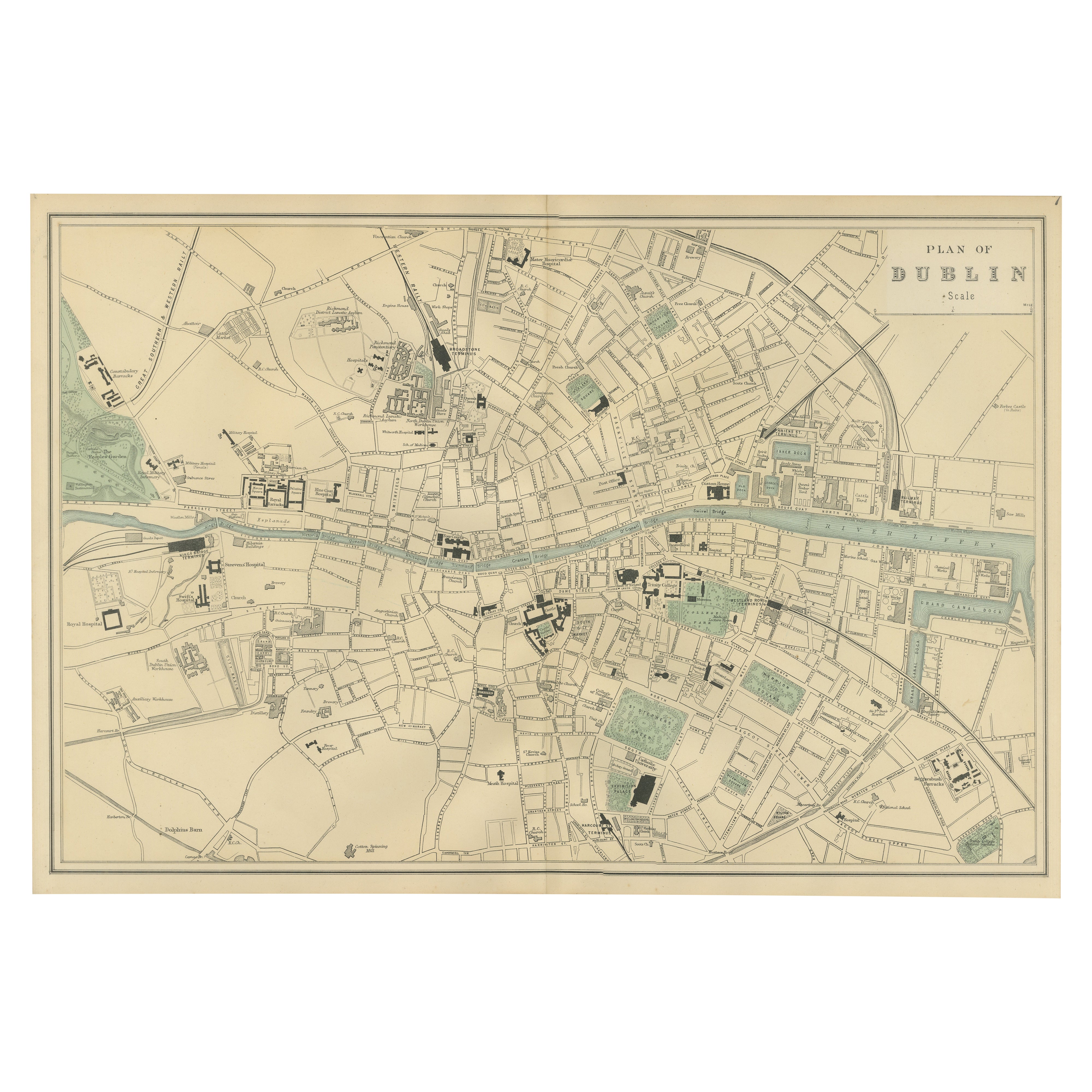
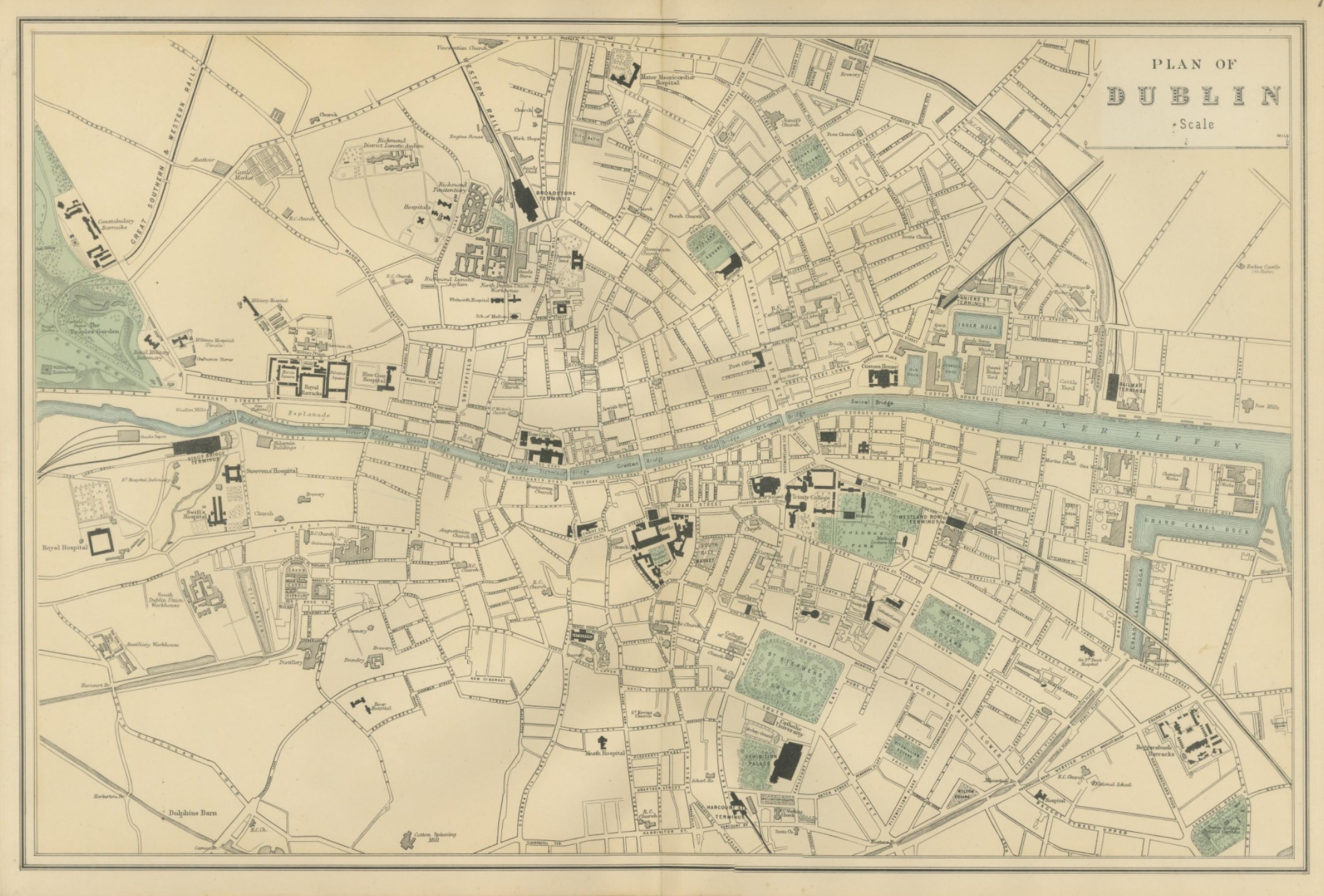
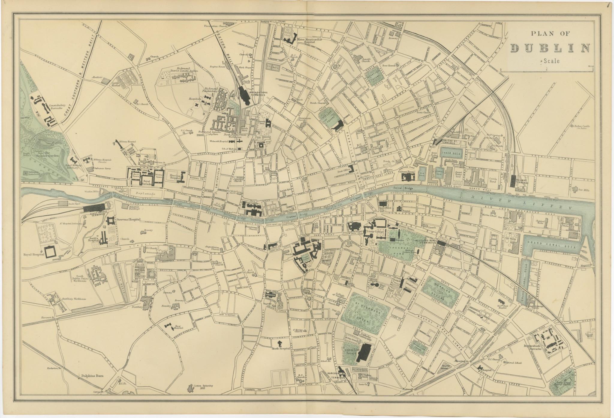
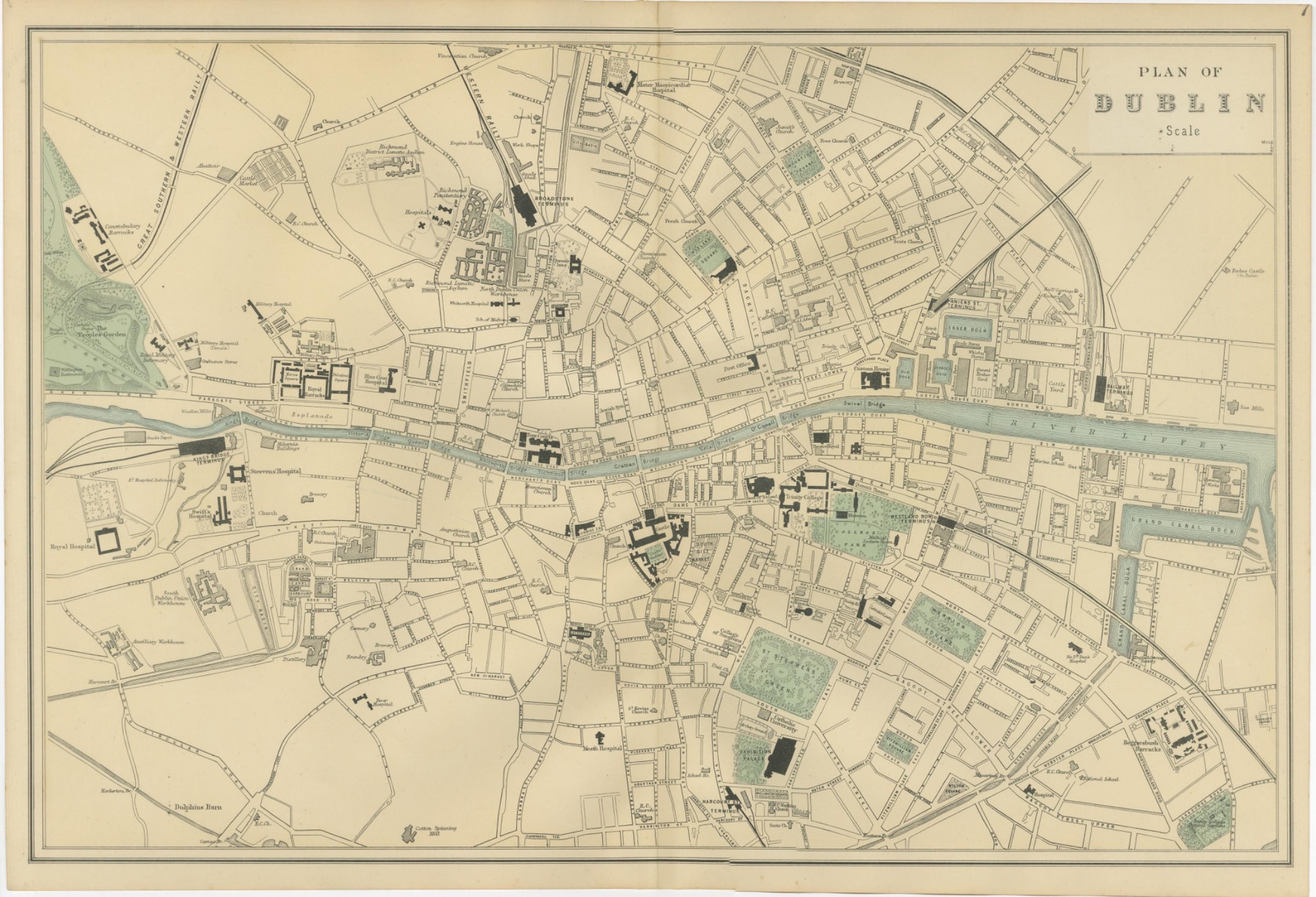
Plan of Dublin – Large Scale Victorian City Map, George W. Bacon, Ordnance Atlas, 1885
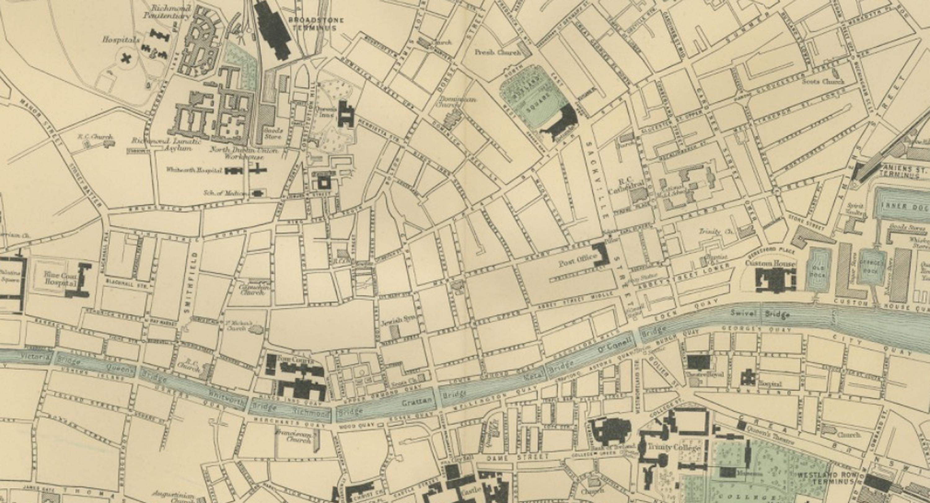
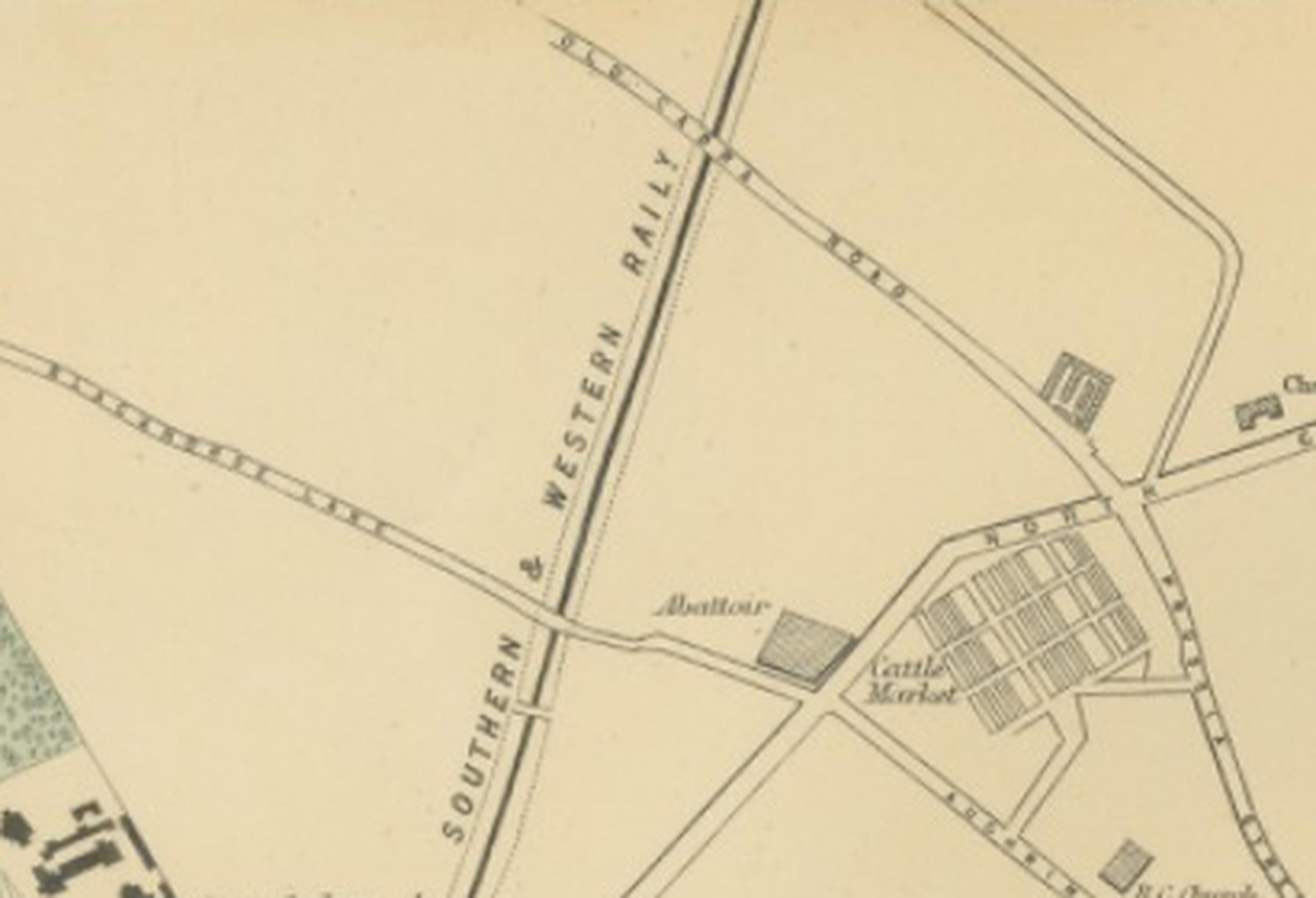
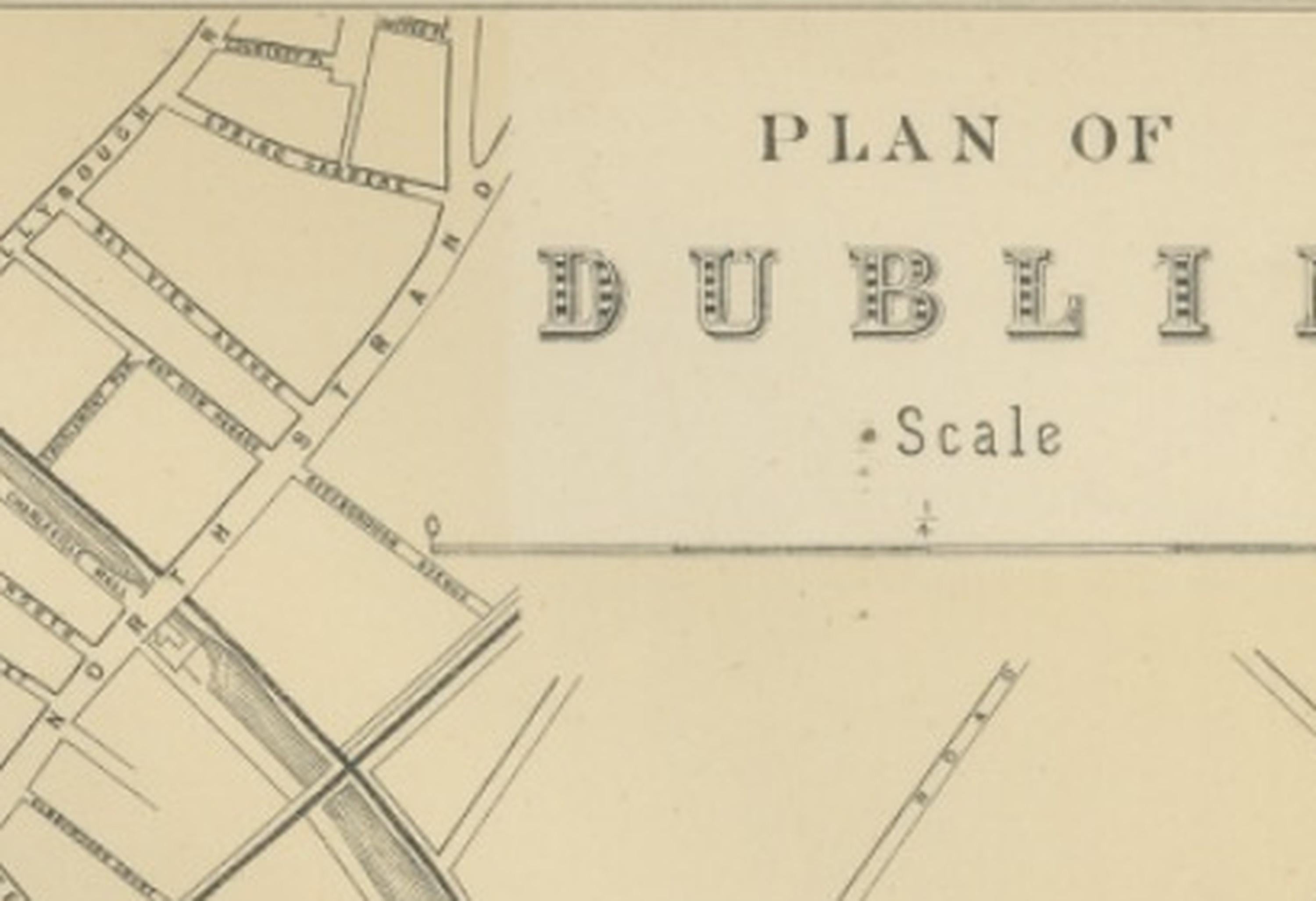
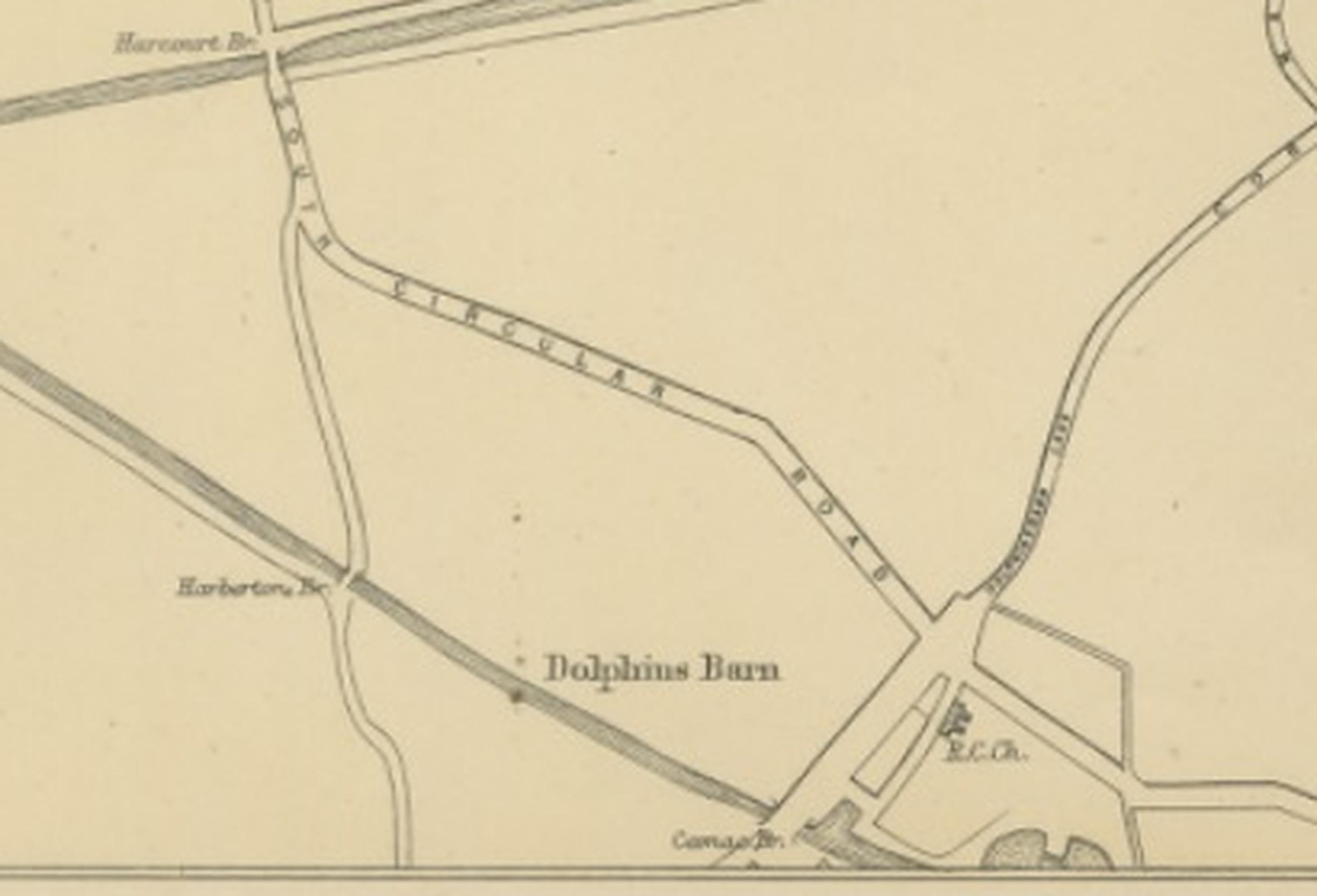
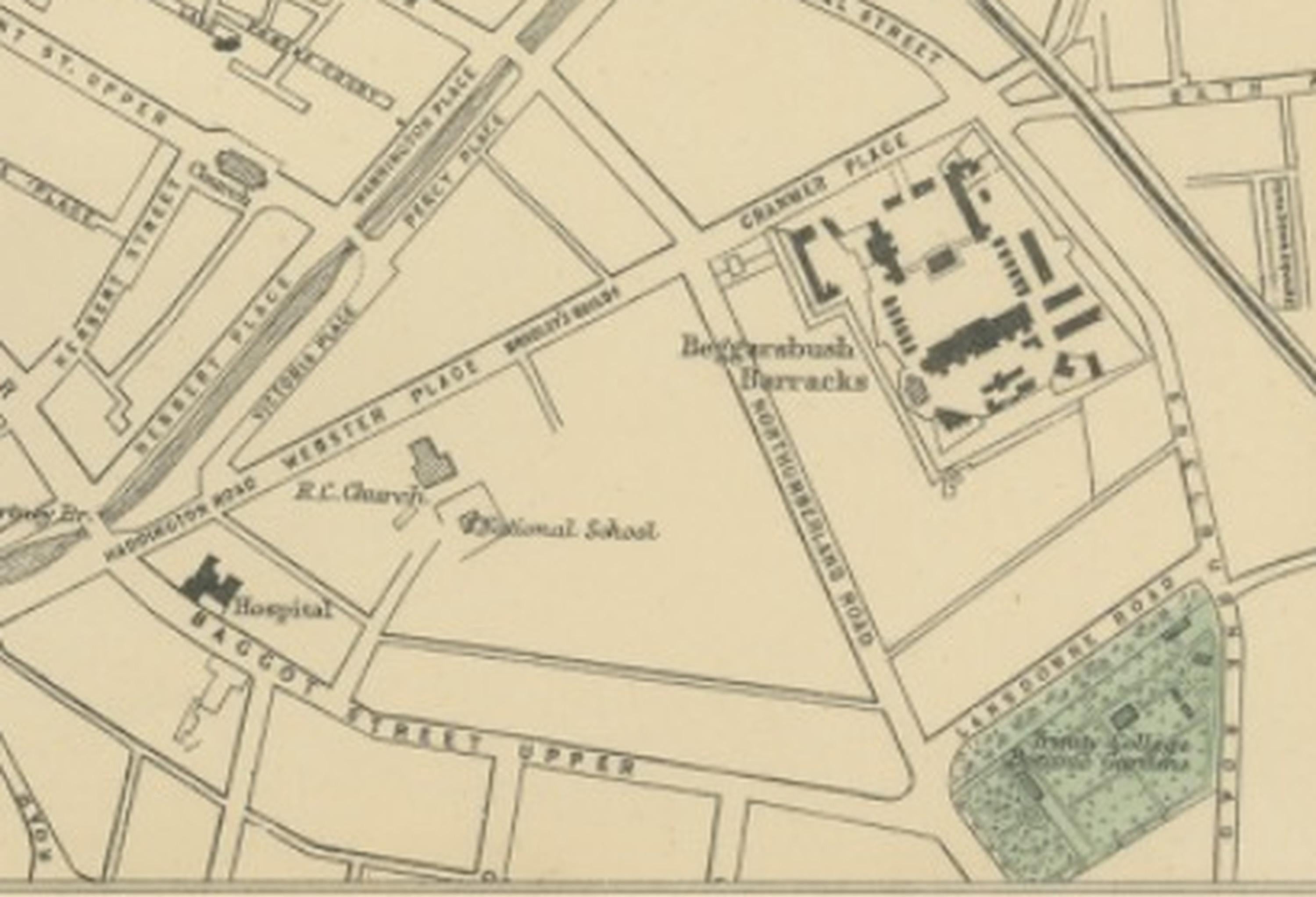
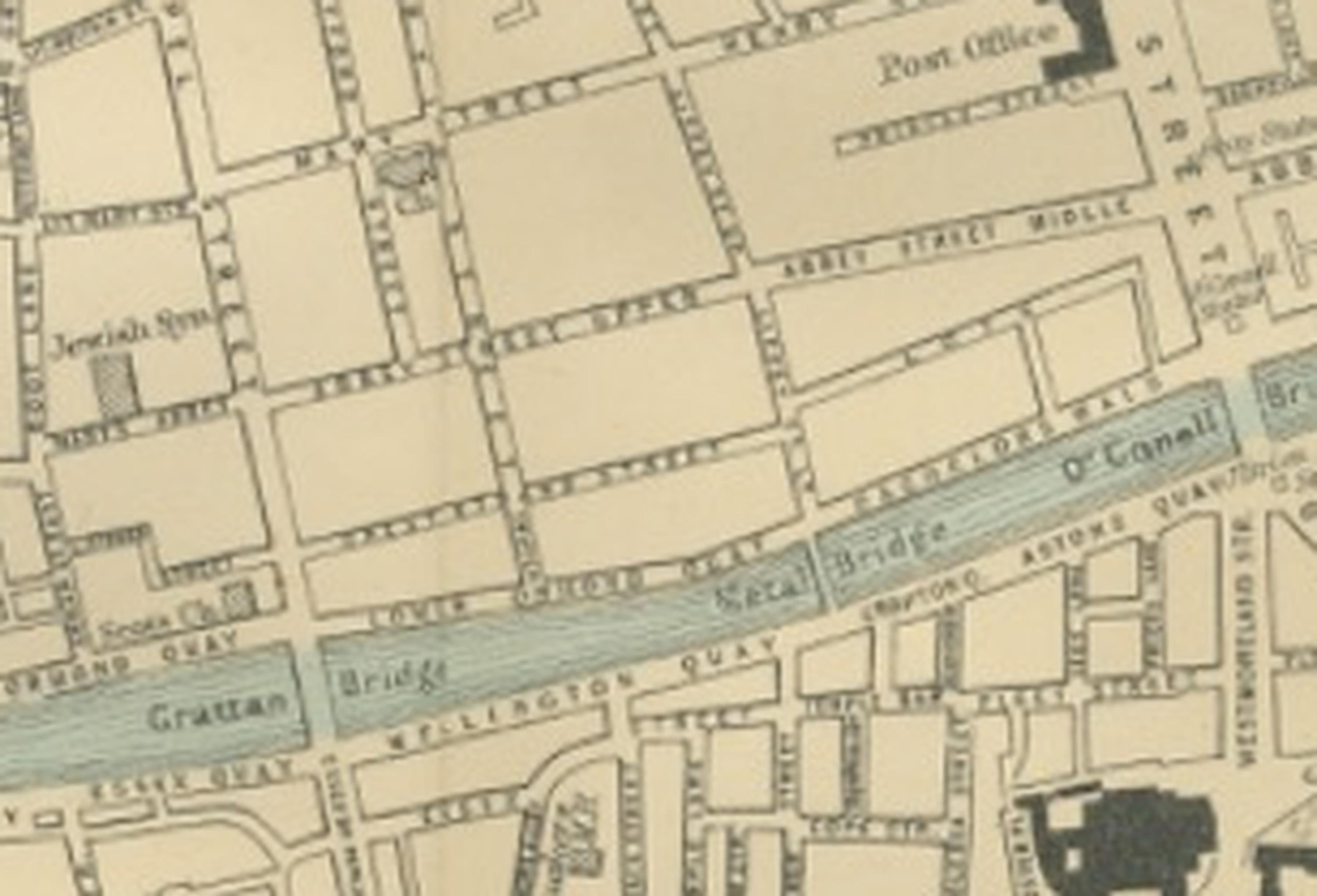
This finely engraved large-scale plan of Dublin was published in 1885 by the London cartographer George W. Bacon as part of the New Large Scale Ordnance Atlas of the British Isles with Plans of Towns. Based on Ordnance and actual surveys, the map captures Ireland’s capital during a period of urban development and modernization, offering a detailed and historically significant overview of Dublin’s streets, public institutions, and riverfront landscape in the late nineteenth century.
The composition presents the city in impressive detail, centred around the River Liffey, which divides Dublin into its north and south sides and forms the visual and geographic backbone of the plan. Bridges crossing the river connect commercial districts, civic centres, and residential neighbourhoods, illustrating the city’s integrated urban structure. Bacon’s precise engraving clearly delineates streets, squares, railways, docks, and notable public buildings, reflecting the Victorian interest in documenting urban expansion with scientific accuracy.
Important institutions and landmarks are prominently shown, including Trinity College and major civic and ecclesiastical buildings that define Dublin’s architectural identity. Parks and open spaces are highlighted in soft green tones, adding visual contrast to the dense street network and enhancing the map’s decorative appeal. The Grand Canal Dock and surrounding industrial areas demonstrate Dublin’s maritime and commercial connections, while expanding suburban districts reveal the city’s outward growth during the nineteenth century.
The elegant balance between clarity and ornamentation makes this map equally suitable as a historical reference and as a decorative artwork. Its wide panoramic format lends itself well to framing, creating a striking wall piece for collectors interested in Irish history, historical cartography, or architectural urban planning. The subtle original colouring and crisp engraving ensure strong visual impact without overwhelming detail.
Condition report: Very good condition for its age, with light overall age toning consistent with nineteenth-century atlas sheets. A central fold, as issued, may be visible. Minor handling marks or faint marginal wear may be present. The engraving remains crisp with attractive original colouring. Please examine images for detailed condition.
Framing tips: The map is offered unframed, allowing flexibility to select a frame that best suits the intended interior. A dark walnut frame with an ivory or warm off-white mat enhances the antique character, while a minimalist black frame suits contemporary interiors seeking a refined historical statement piece.
Technique: Engraving with original hand colouring
Maker: George W. Bacon, London, 1885
SEO keyword block:
Dublin antique map, Plan of Dublin 1885, George W Bacon city plan, Ordnance Atlas Dublin, River Liffey historical map, Trinity College Dublin map, Grand Canal Dock Dublin, Victorian Ireland city plan, historic Dublin street map, Georgian Dublin squares, Irish capital historical cartography, Dublin bridges map, nineteenth century Irish urban plan, Dublin northside southside map, antique Irish city engraving, decorative historical Dublin map, Victorian era Ireland atlas plate, Dublin harbour and docks map, British Isles town plan atlas 1885.