About this sheet
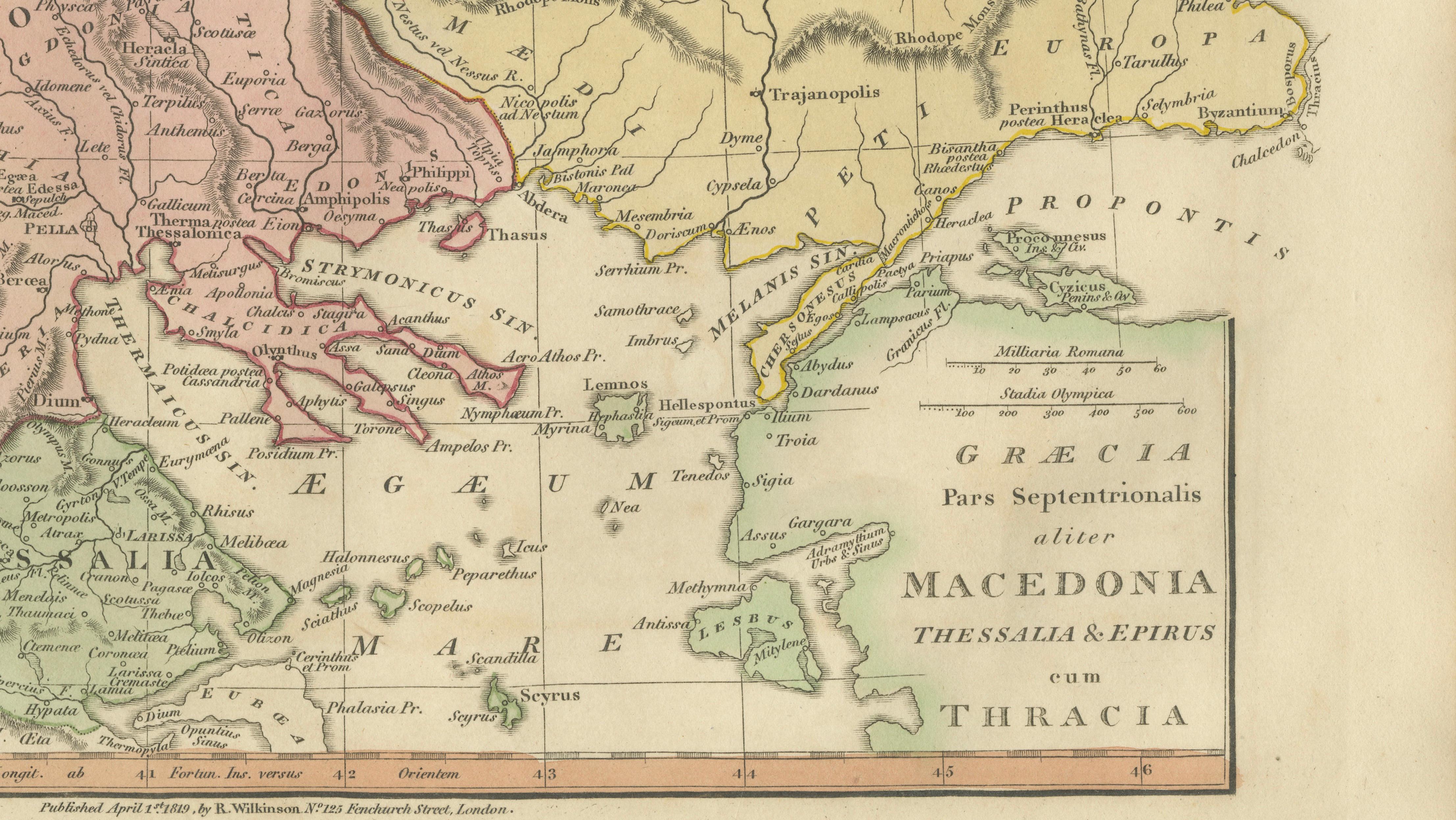
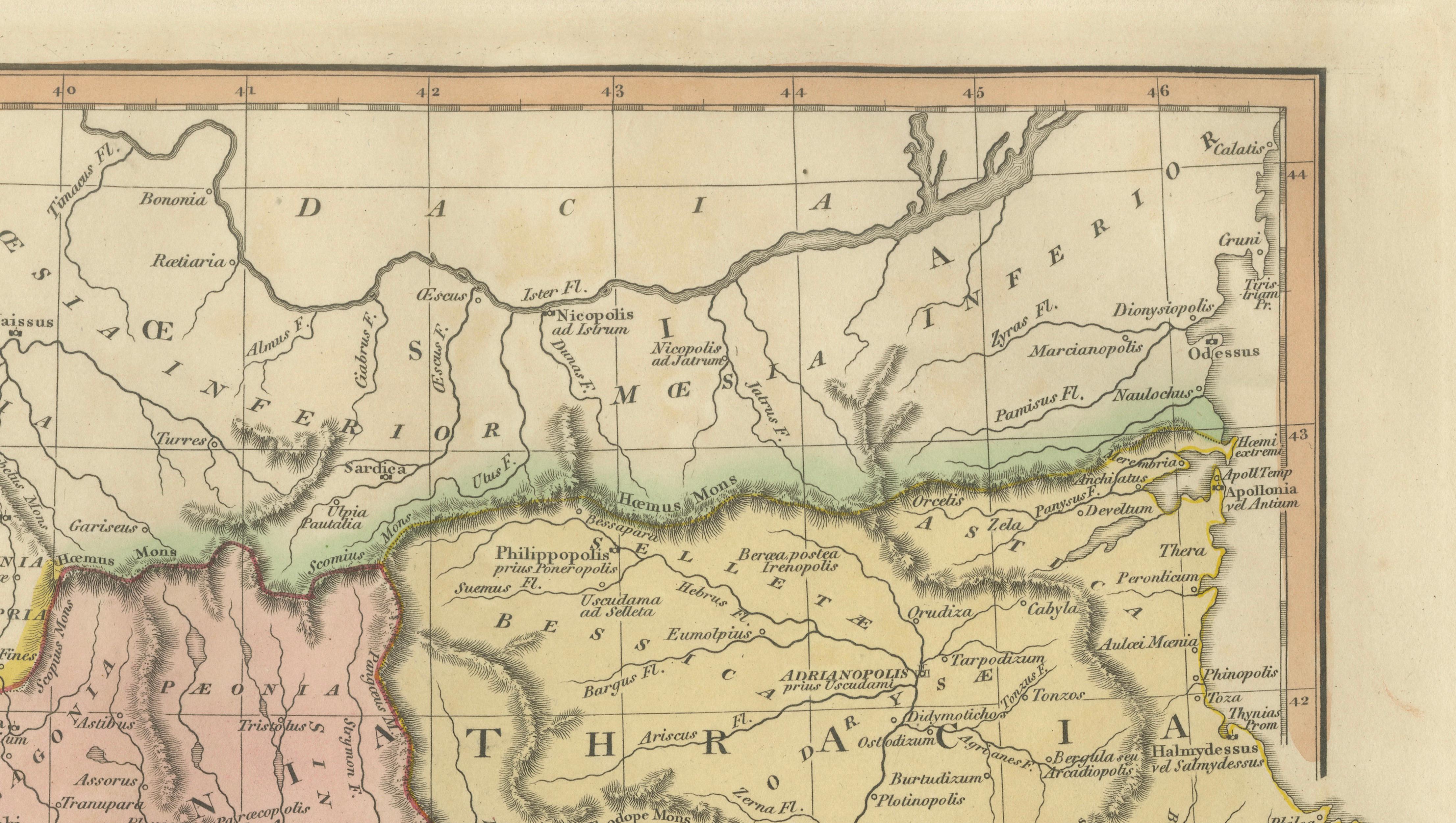
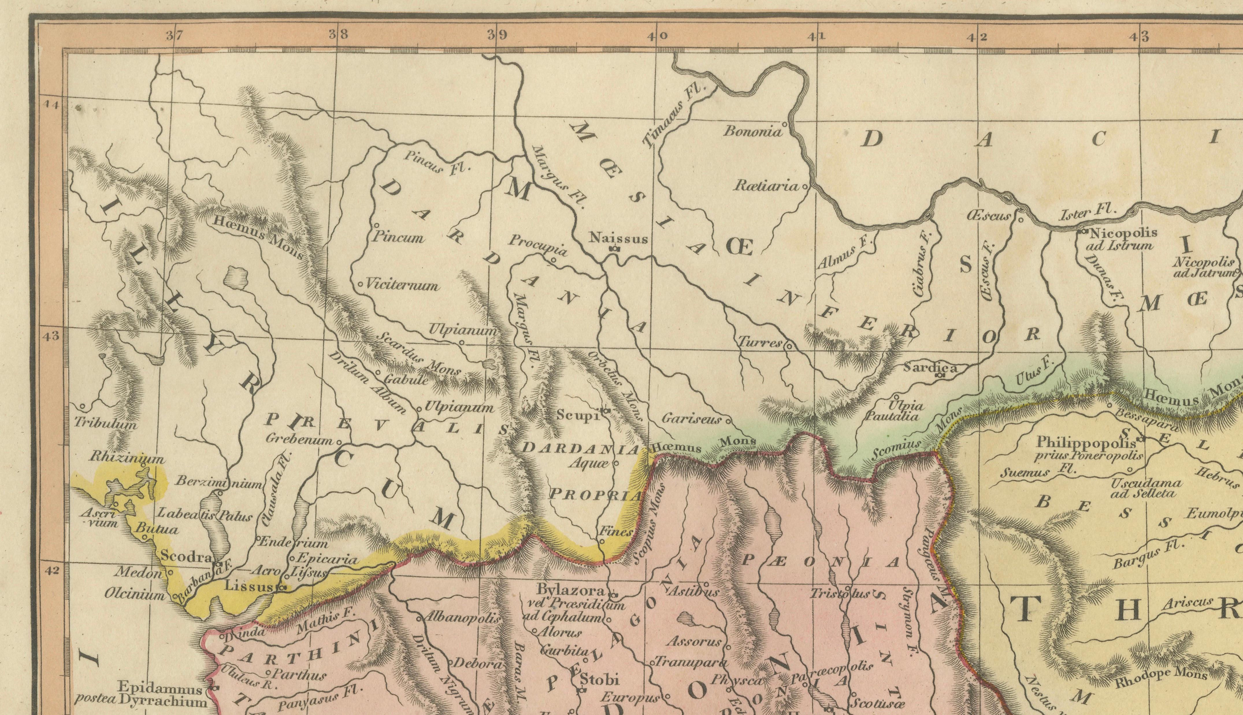
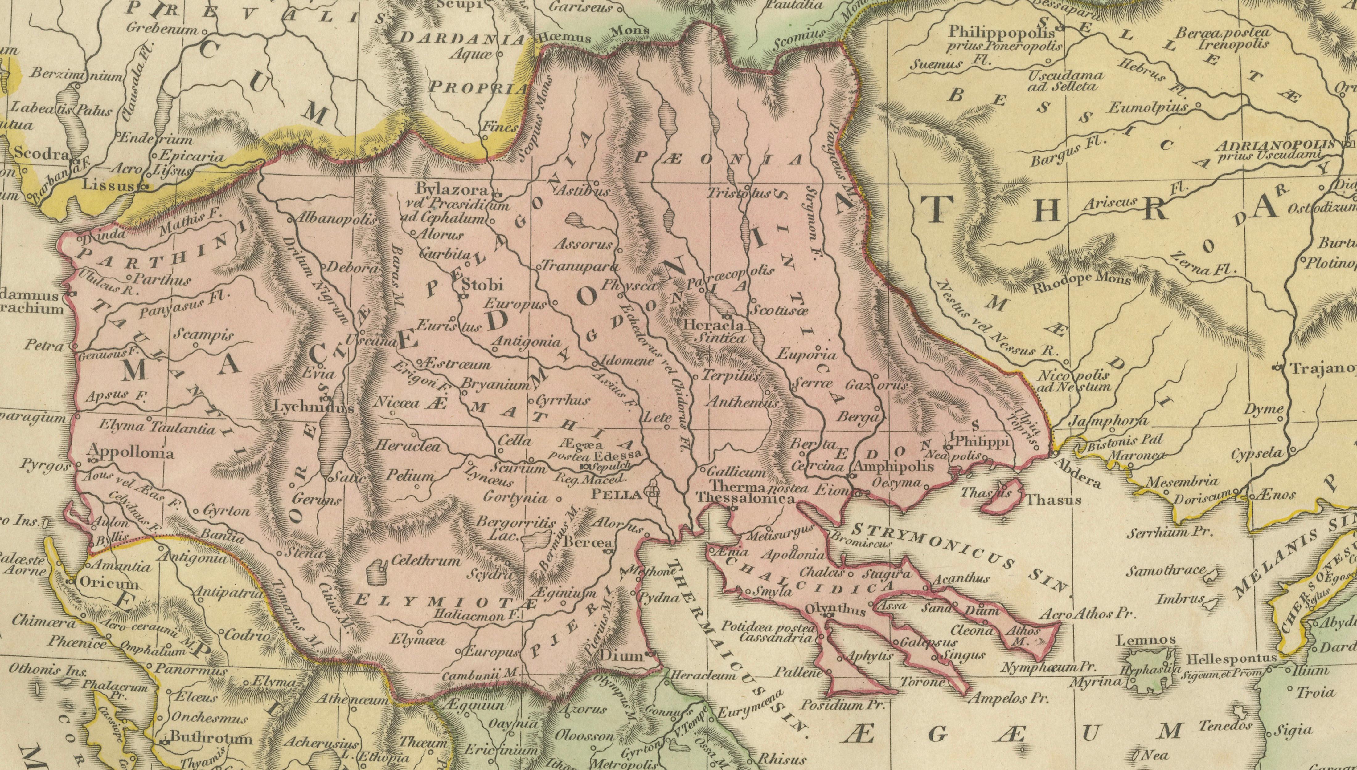
Ancient Macedonia & Thrace Map — Classical Greece, Wilkinson London 1819
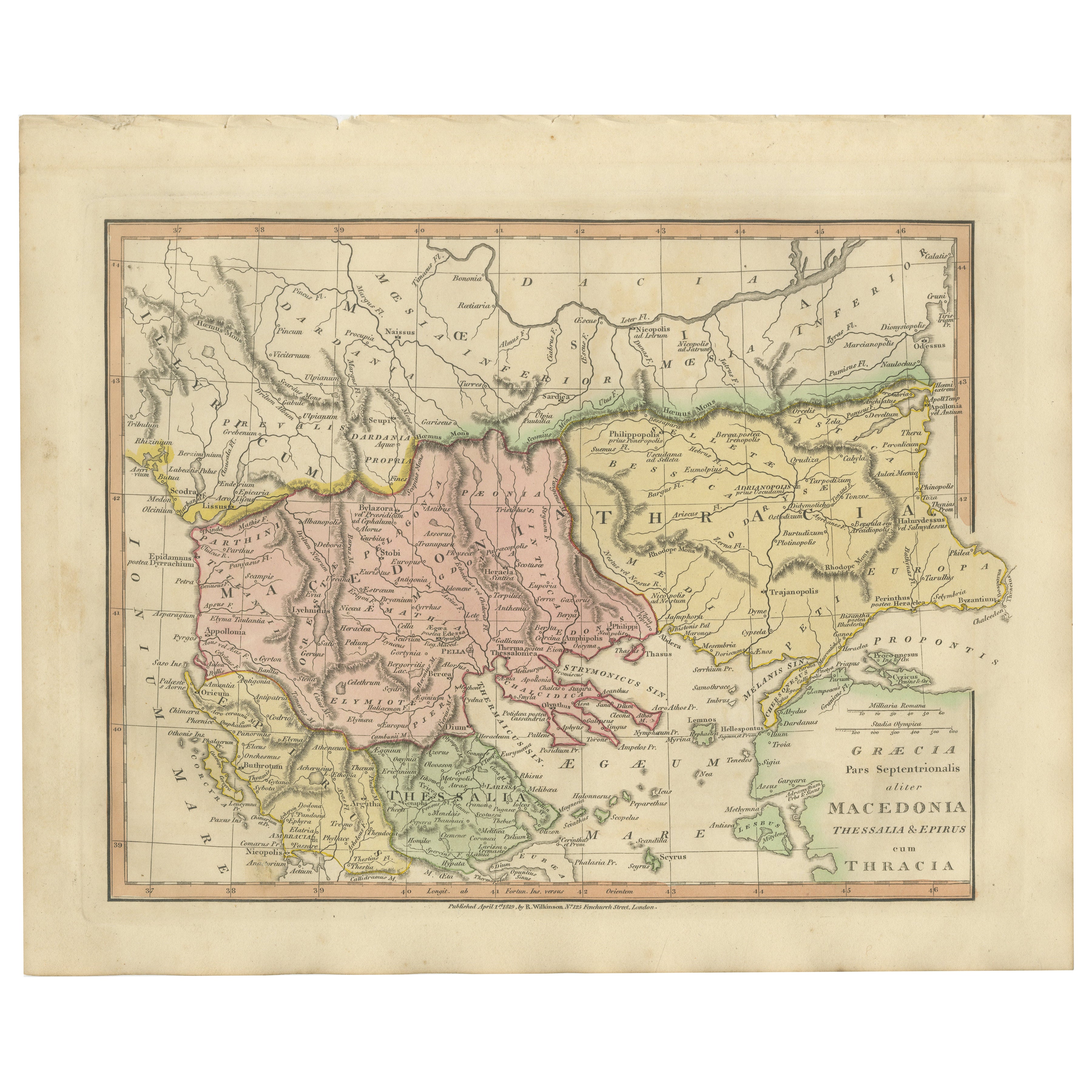
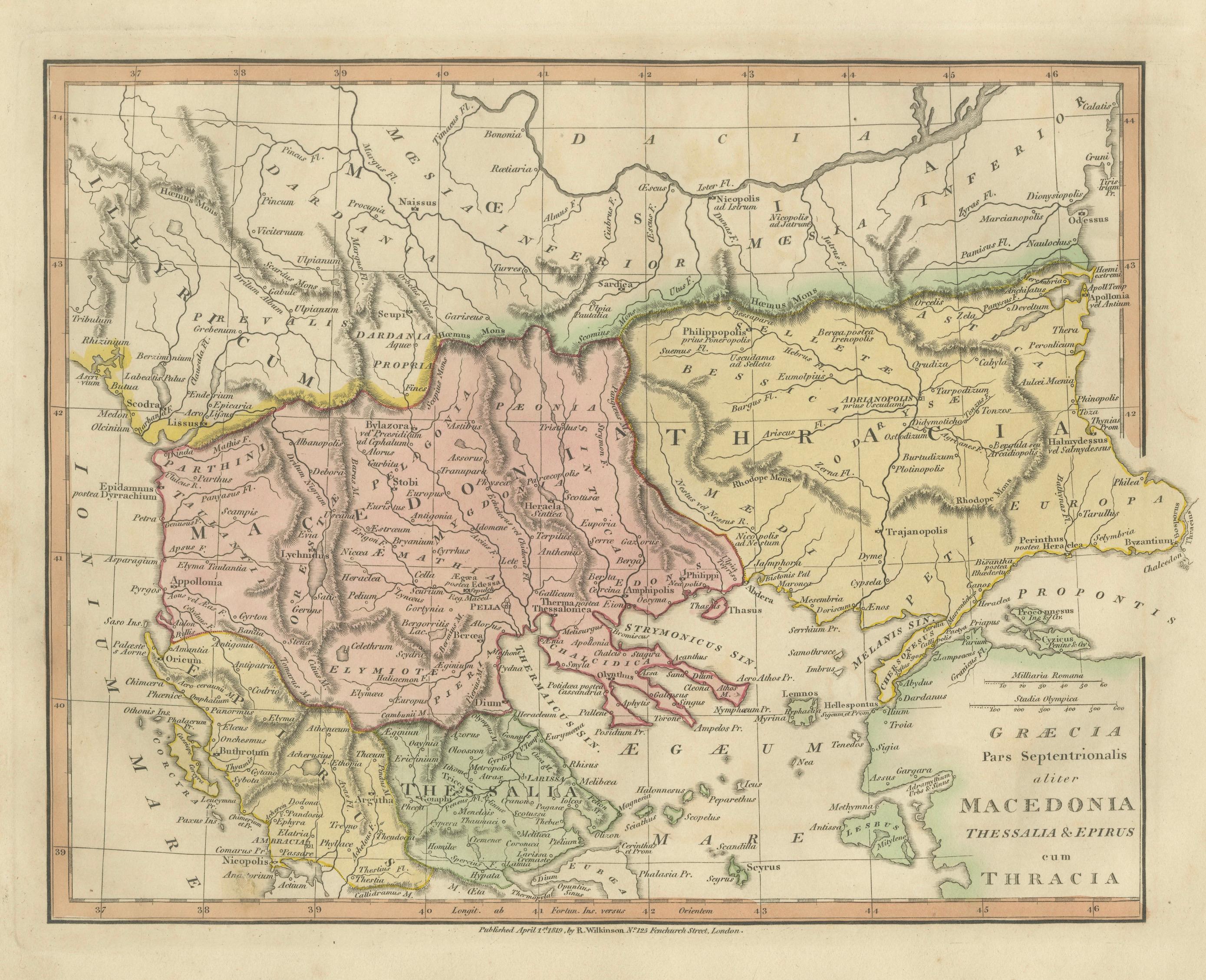
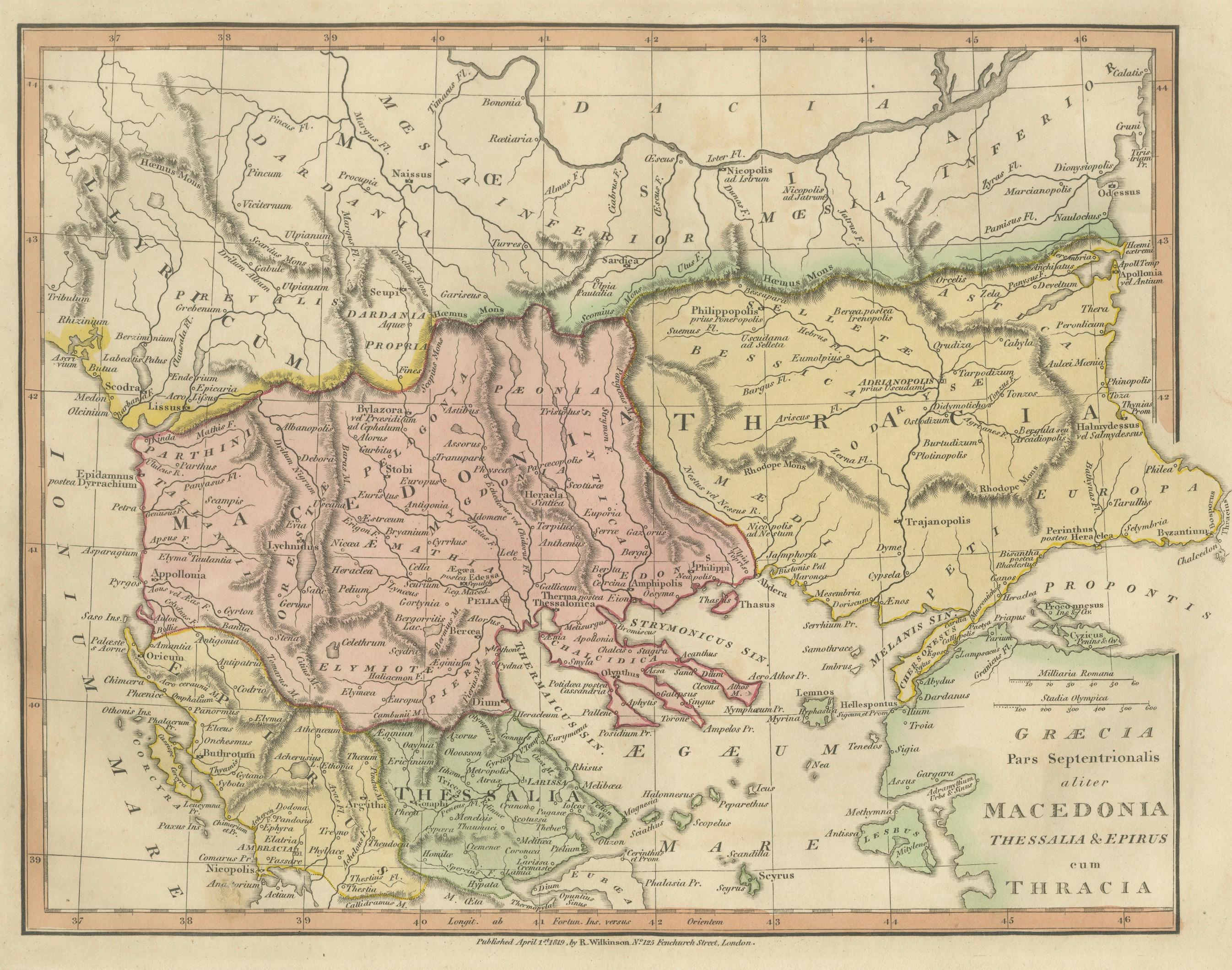
This finely engraved and delicately hand-colored map depicts the ancient regions of northern Greece and the Balkans, including Macedonia, Thessaly, Epirus, and Thrace, as understood through classical geography. Published in London in 1819 by the English cartographer and publisher Robert Wilkinson, the map forms part of a celebrated series illustrating the geography of antiquity inspired by classical sources and Enlightenment scholarship.
The composition presents a scholarly reconstruction of the ancient world, mapping territories associated with Alexander the Great and the wider Hellenistic sphere. Macedonia occupies the central focus, surrounded by historically significant regions such as Thessalia, Epirus, Illyria, and Thracia. Ancient cities, rivers, and mountain ranges are carefully engraved in dense yet elegant detail, reflecting early nineteenth-century academic interest in classical history, archaeology, and ancient travel literature.
Fine original hand coloring distinguishes provincial boundaries, creating a harmonious palette of soft greens, yellows, and rose tones that enhance both readability and decorative appeal. The engraving balances scientific clarity with aesthetic refinement, typical of Wilkinson’s atlases, which were designed for educated audiences fascinated by classical civilization during the neoclassical period.
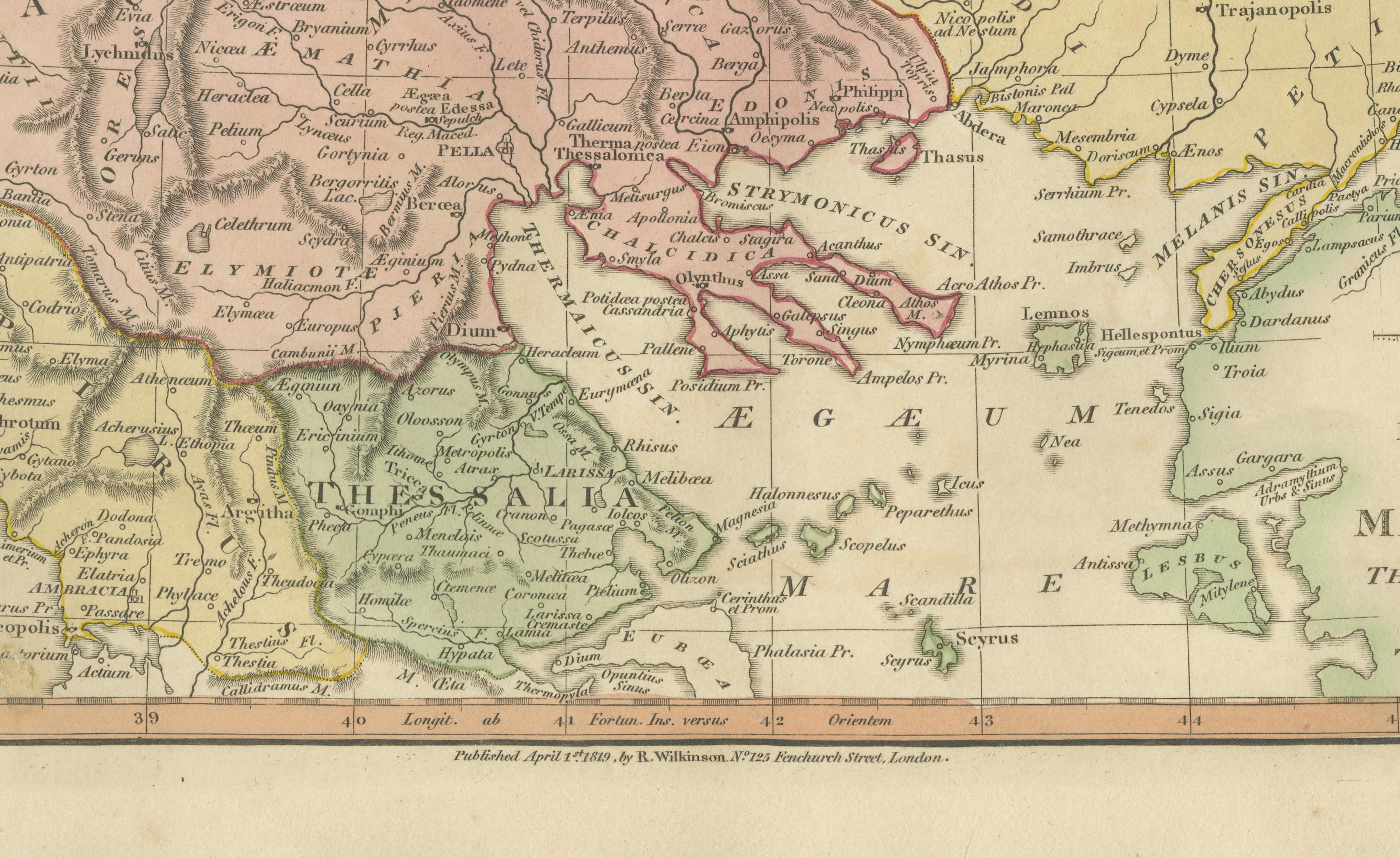
Geographically, the map extends from the Adriatic coast across the northern Aegean, including important historical locations such as Thessalonica, Philippi, and the mountainous interior regions that shaped ancient political and military history. The clear copperplate engraving and restrained typography give the sheet an elegant academic character while remaining highly decorative for modern interiors.
Maps from Wilkinson’s classical atlas are increasingly appreciated today for their combination of historical scholarship and interior design appeal. Their soft coloration, balanced layout, and intellectual subject matter make them especially suitable for libraries, studies, and refined contemporary interiors seeking a subtle classical reference.
A highly attractive example appealing equally to collectors of classical antiquity, antique cartography, and designers looking for sophisticated historical wall decoration.
Condition: Good antique condition overall. Light age-related toning and scattered spotting consistent with age. Minor edge wear and faint handling marks confined mainly to the margins. Plate mark visible.
Framing tips: Particularly effective in a dark walnut or ebonized frame with a warm ivory or museum-white mat. A wide mat enhances the calm classical composition and allows the delicate hand coloring to stand out beautifully in both traditional and modern interiors.
Technique: Copperplate engraving with original hand color
Maker: Robert Wilkinson, London, 1819
Keywords:
Macedonia, Thracia, Thessalia, Epirus, Illyria, Graecia Septentrionalis, Aegean Sea, Adriatic Sea, Thessalonica, Philippi, Pella, Mount Olympus, Hellespont, Propontis, Byzantium region, Northern Greece, Balkan Peninsula, Classical Greece, Ancient Geography, Alexander the Great, Hellenistic World, Roman Provinces, Antique Map Greece, Classical Antiquity Map, Wilkinson Atlas, London cartography 1818