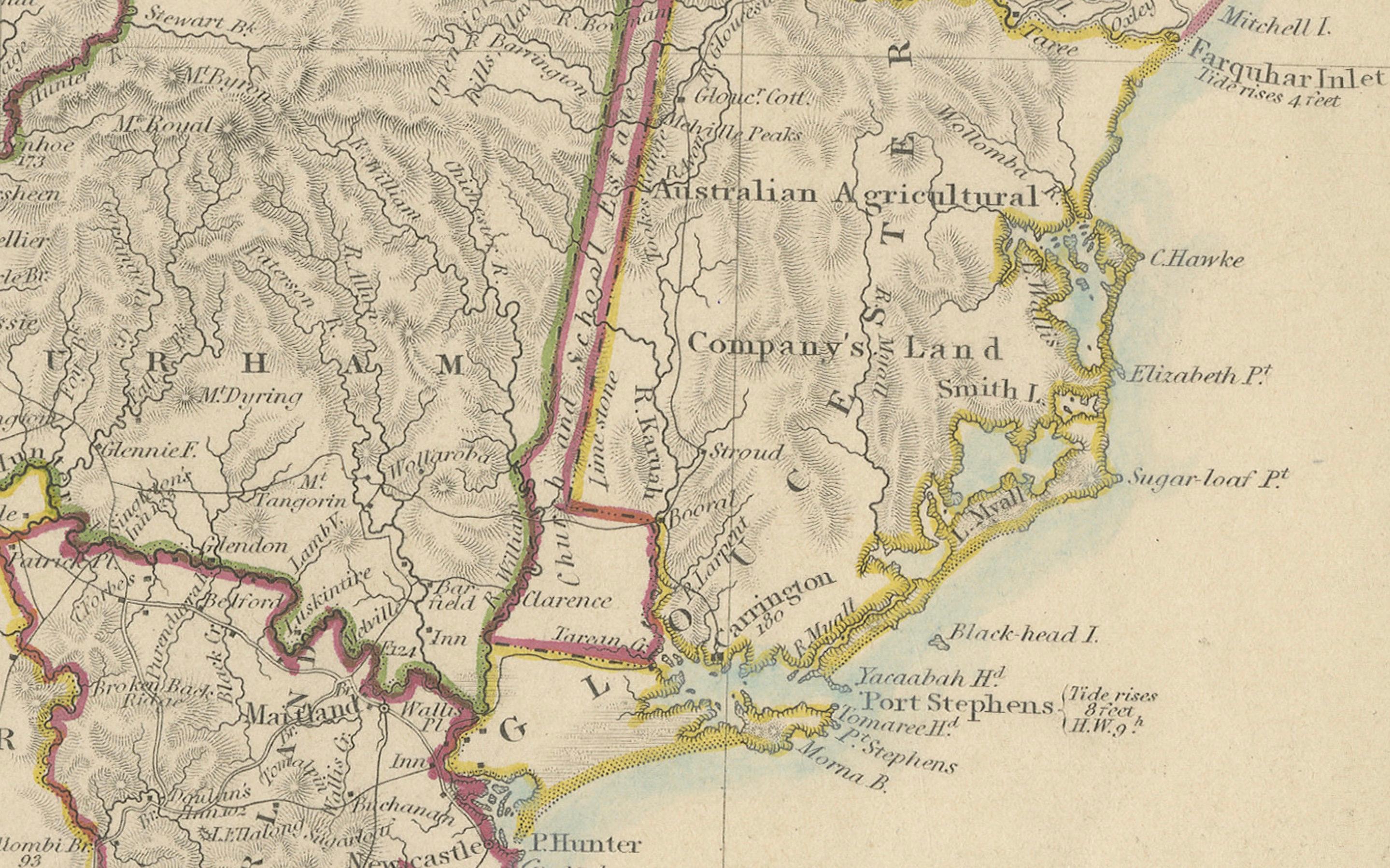
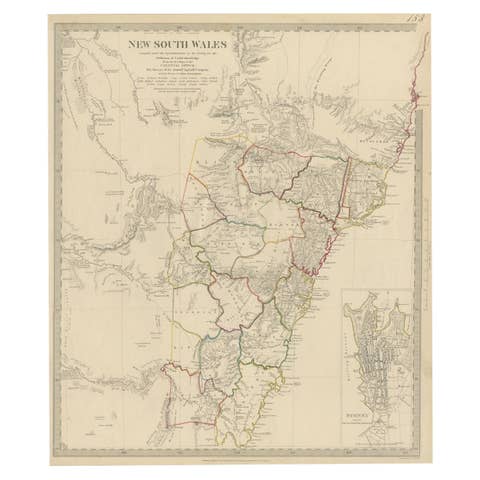
Detailed Map of New South Wales, Australia from 1833 by SDUK
€ 560
One of a kind: this is the sheet in the photographs. Ships from Langweer, the Netherlands.
Date
1833
Sheet size
39.12 × 34.8 cm (15.4 × 13.7 in)
Reference
BG-13861
Condition
good, given age. General age-related toning and/or occasional minor defects from handling. Please study scan carefully.
About this sheet
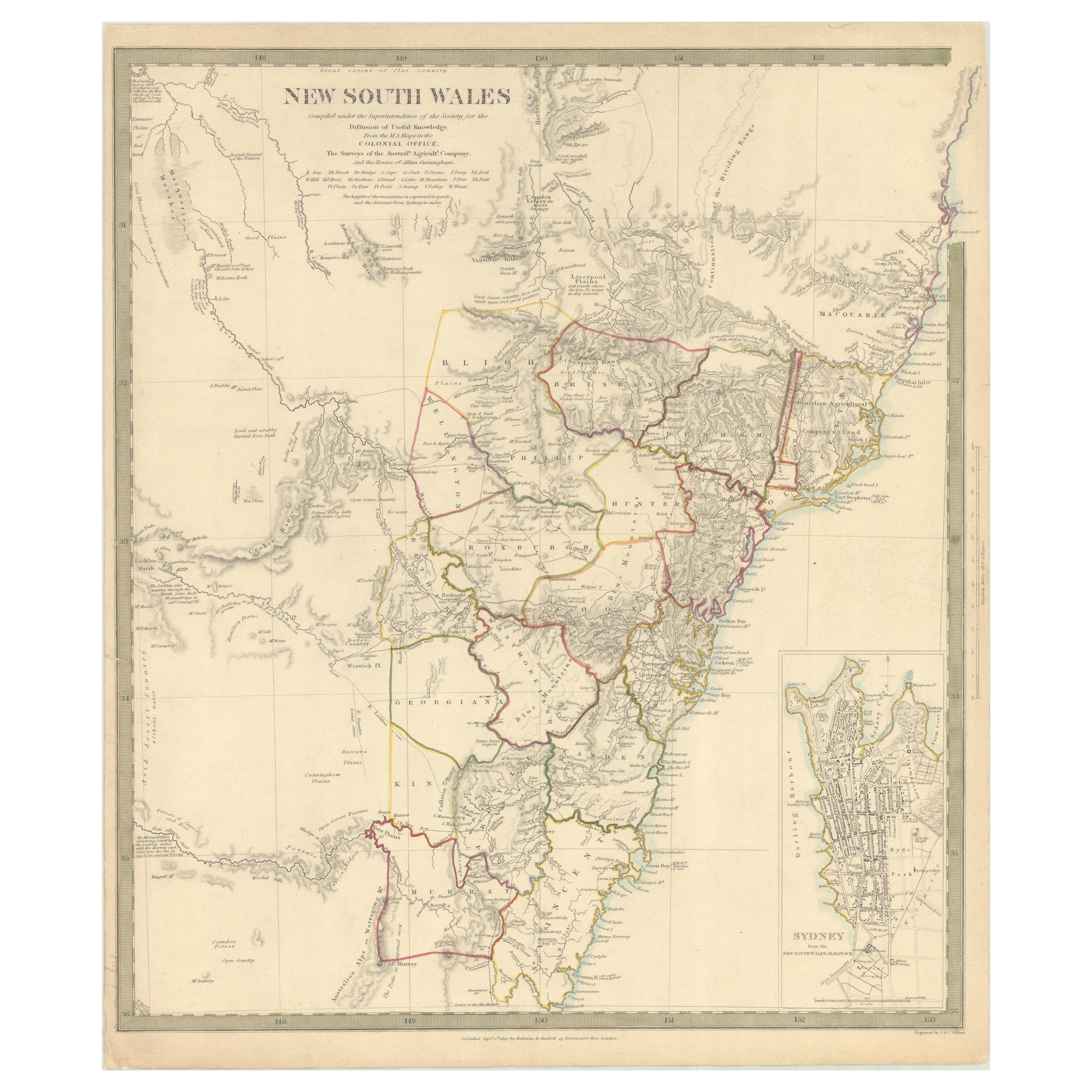
Detailed Map of New South Wales, Australia from 1833 by SDUK
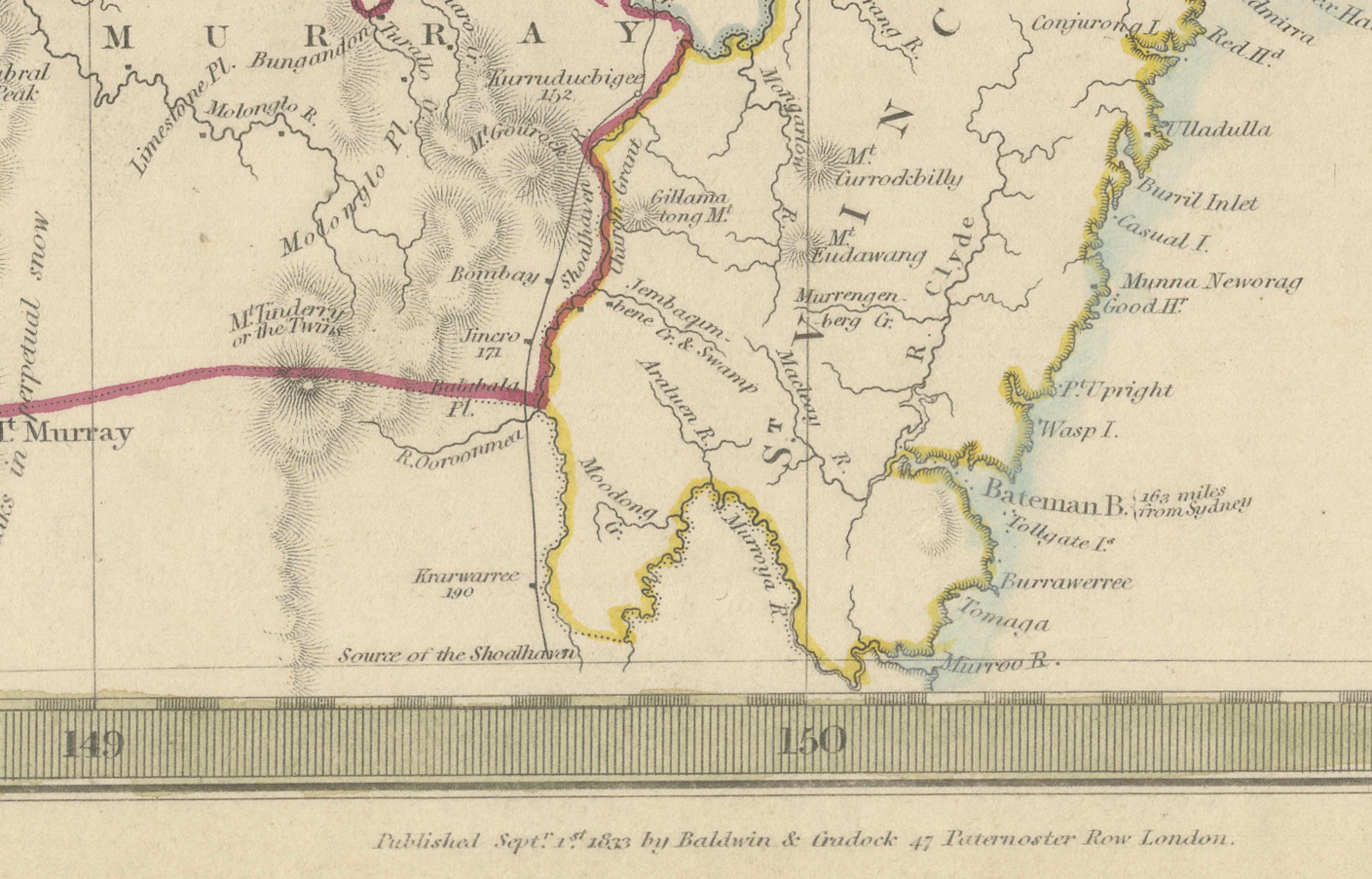
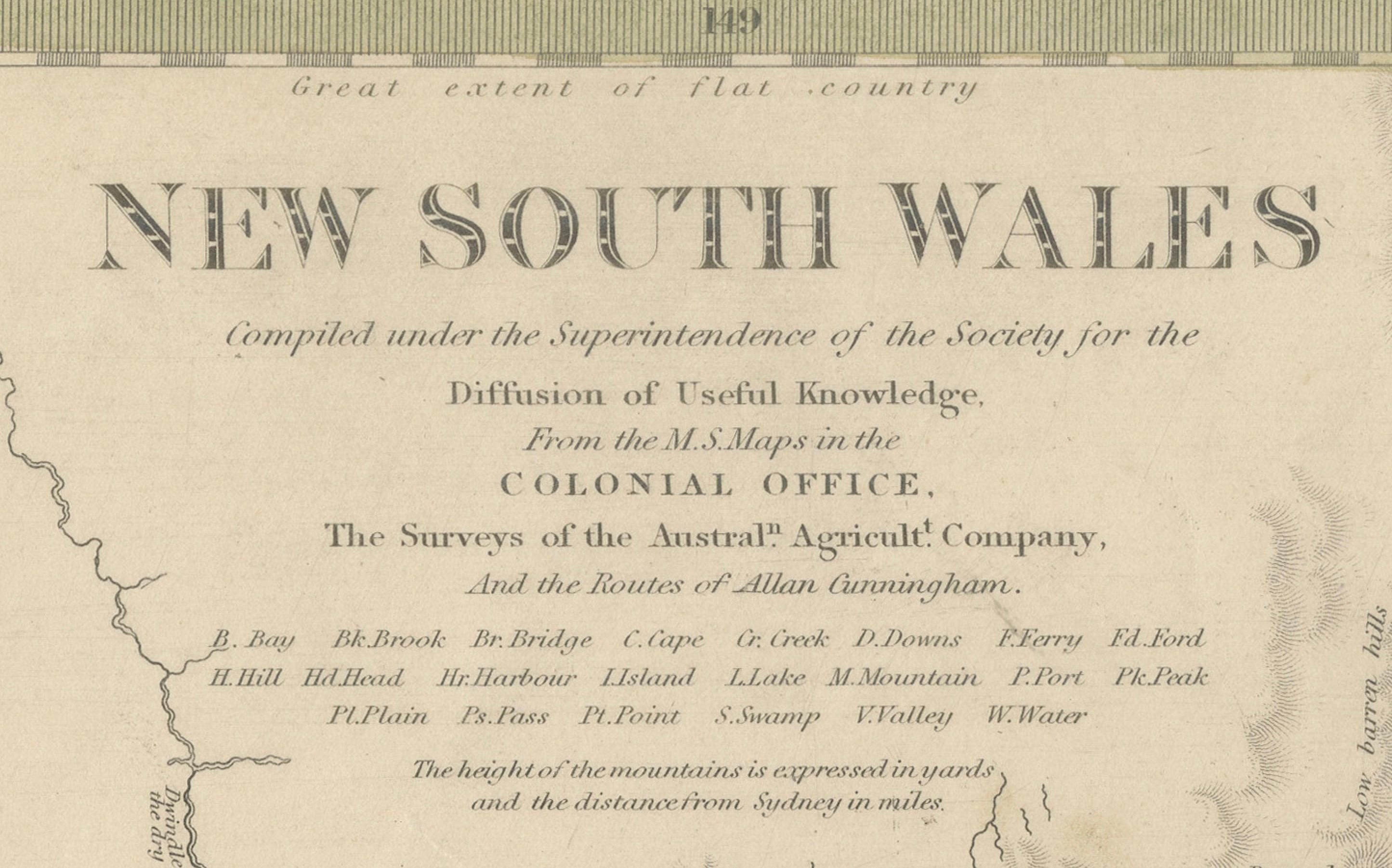
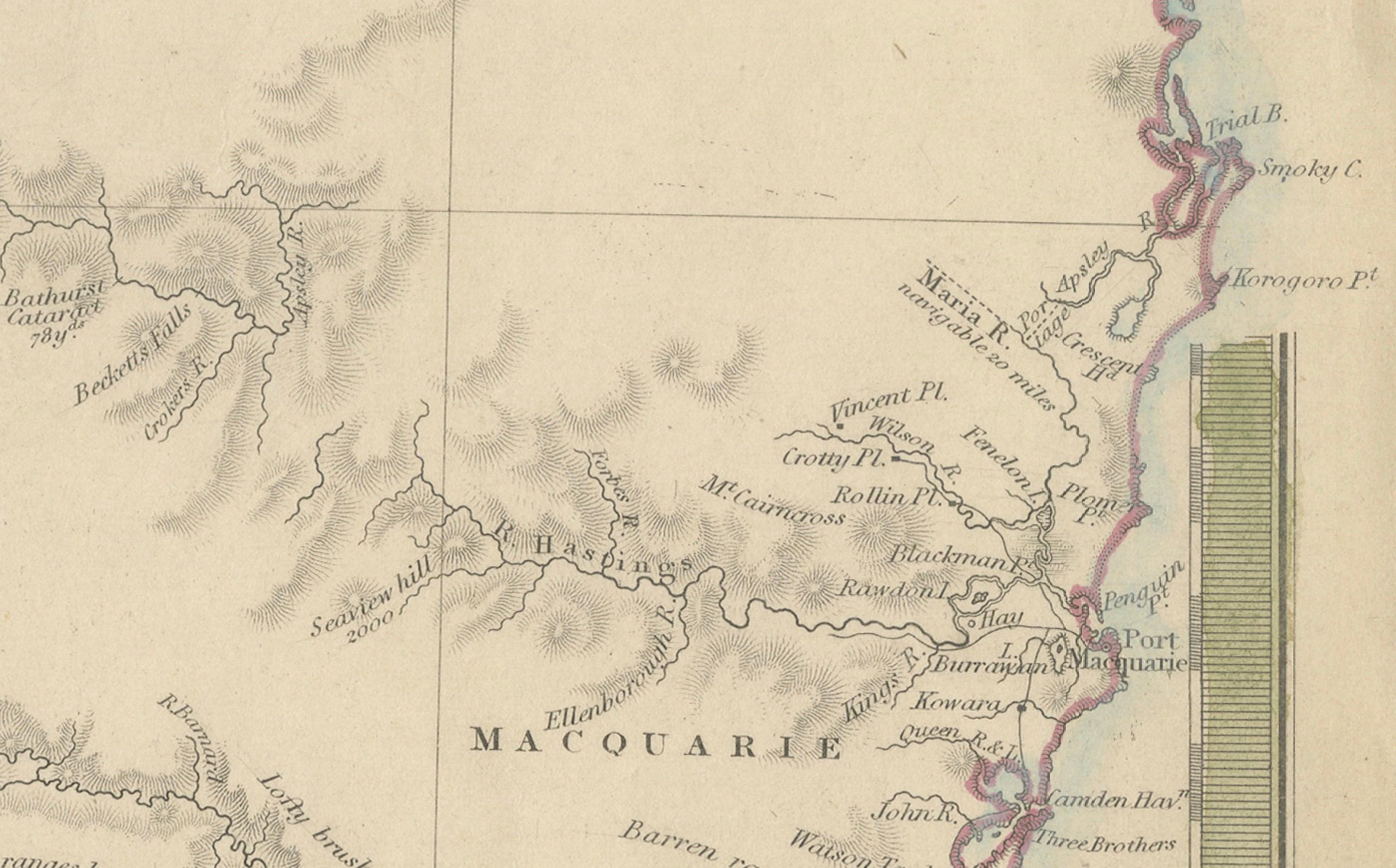
This historical map of New South Wales, Australia, published in 1833 by the Society for the Diffusion of Useful Knowledge (SDUK), offers a detailed view of the colony during the early 19th century. Created using various sources, including manuscripts from the Colonial Office and surveys from the Australian Agricultural Company, it outlines counties with colored borders and marks notable topographical features.
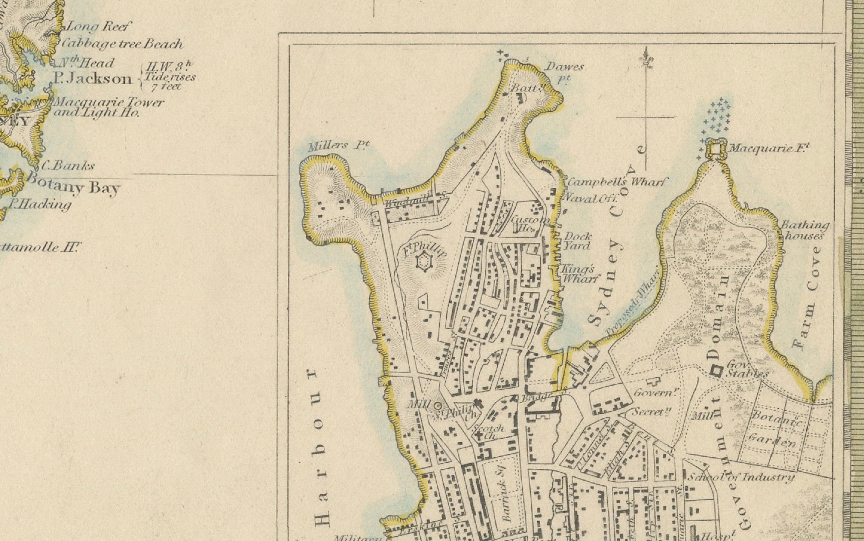
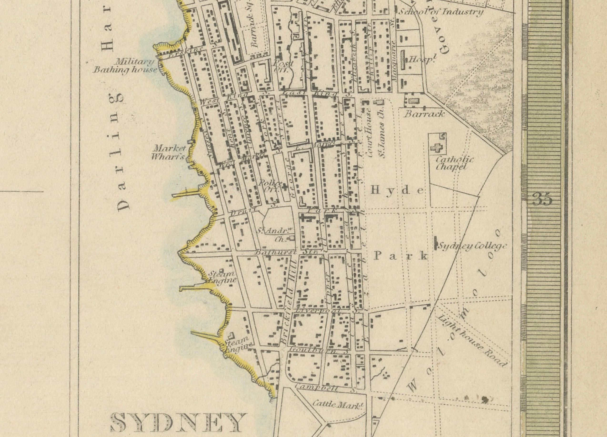
An inset highlights Sydney, showcasing key landmarks such as bathhouses, the botanical garden, and the Albion Brewery.
Engraved by J. & C. Walker, the map measures 13.7 inches in width by 15.4 inches in height, and remains in good condition with minor toning.