About this sheet
Isle of Wight Map, Ordnance Survey Style, Bacon London 1885
Description
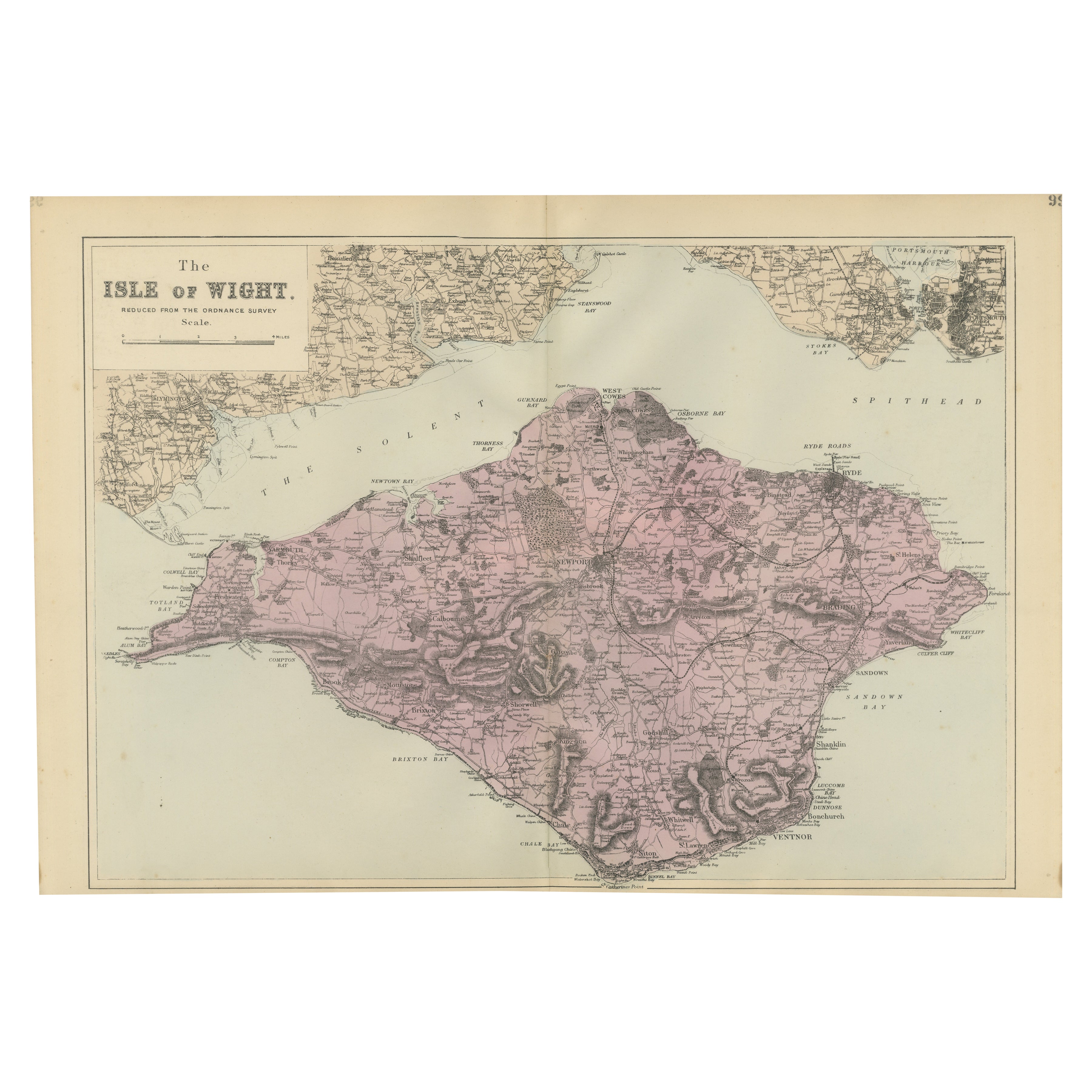
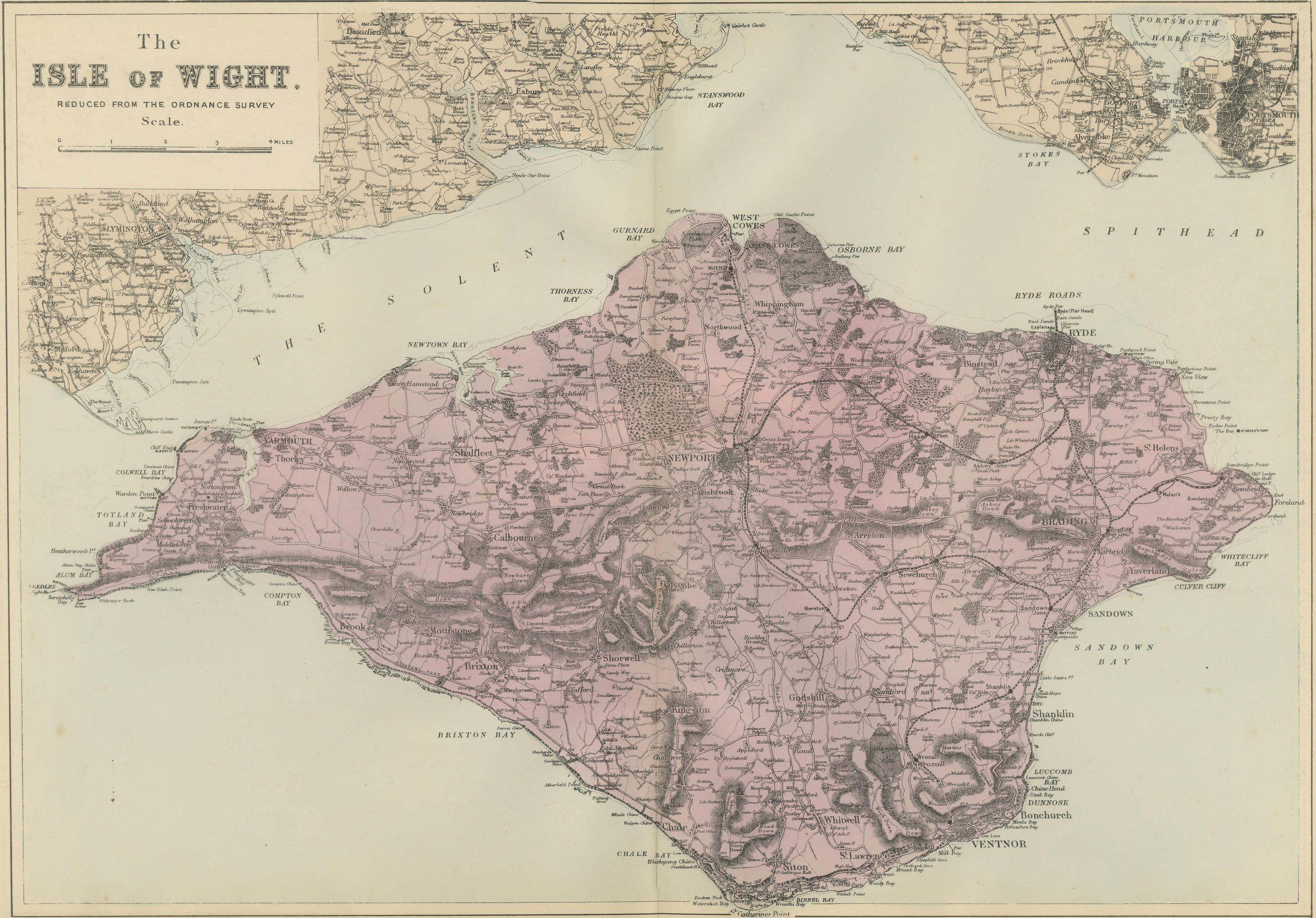
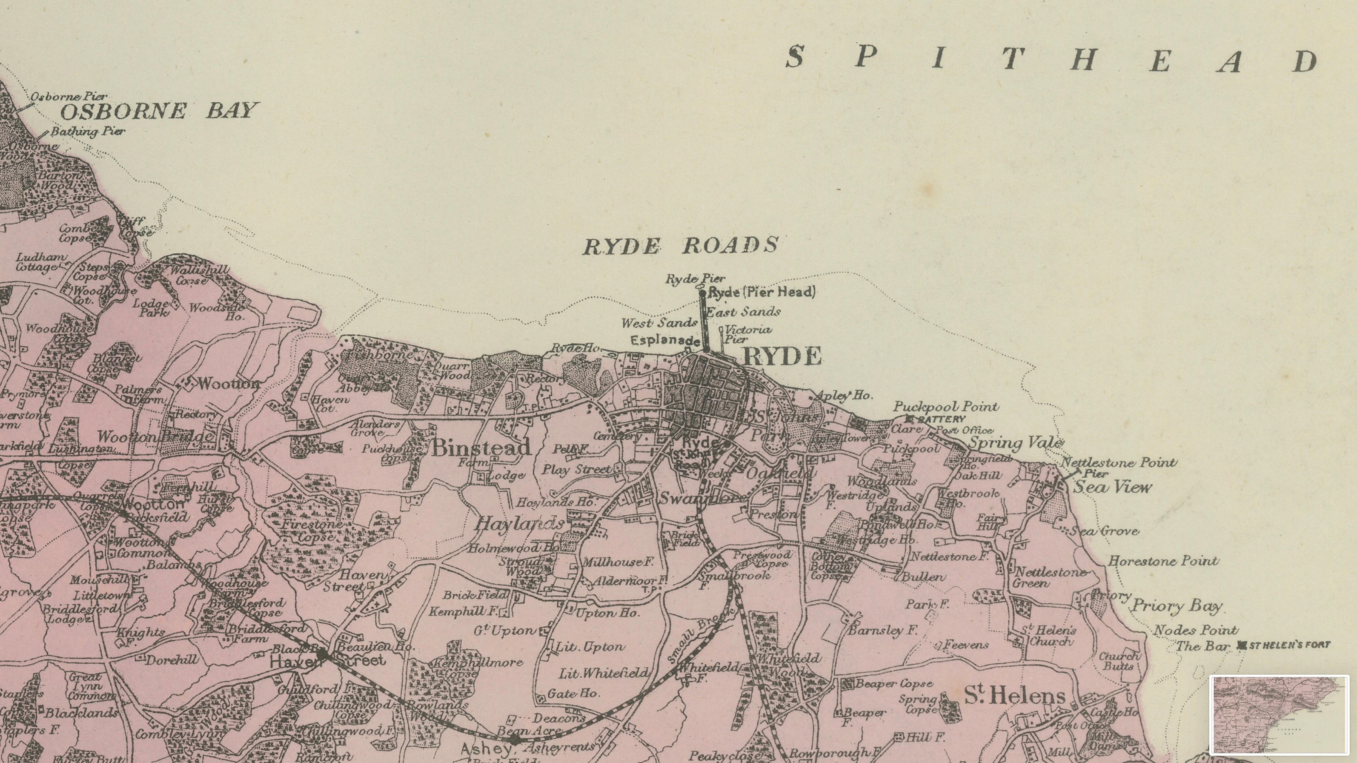
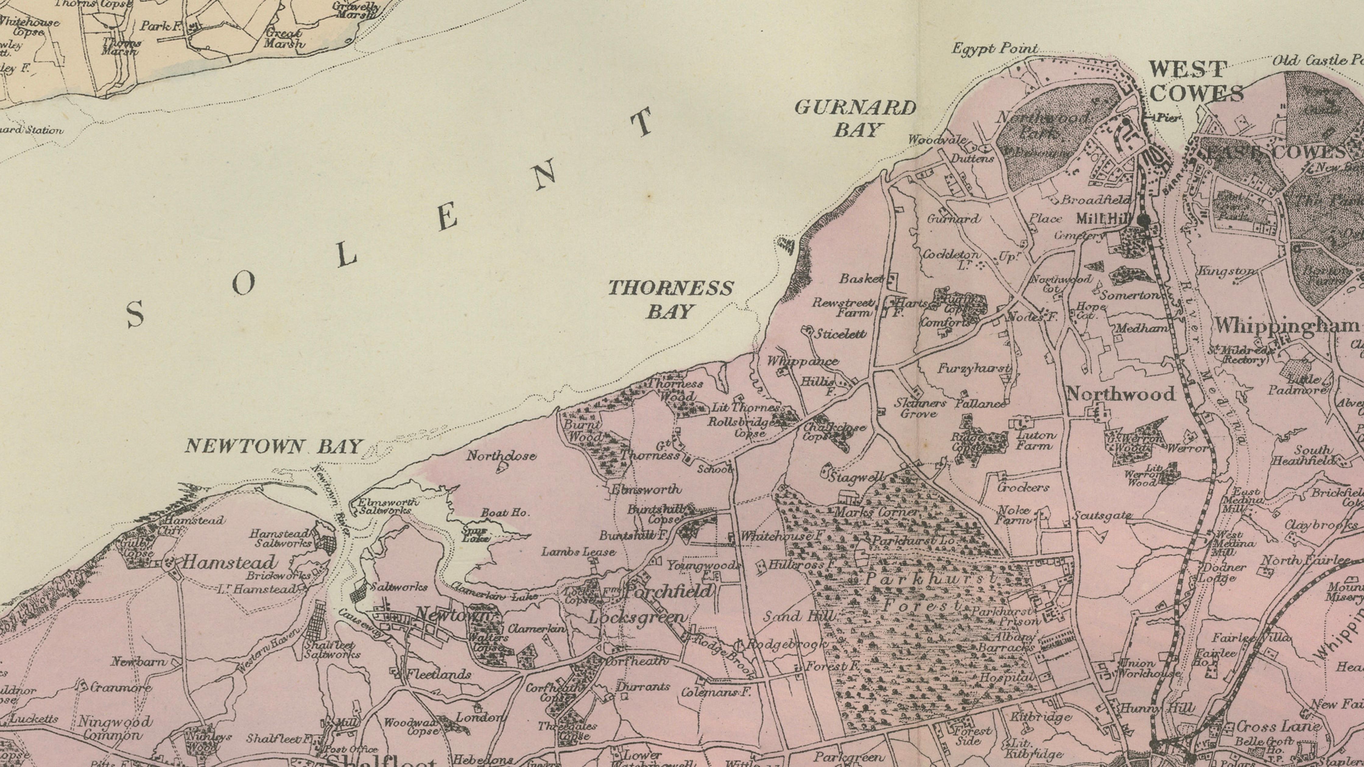
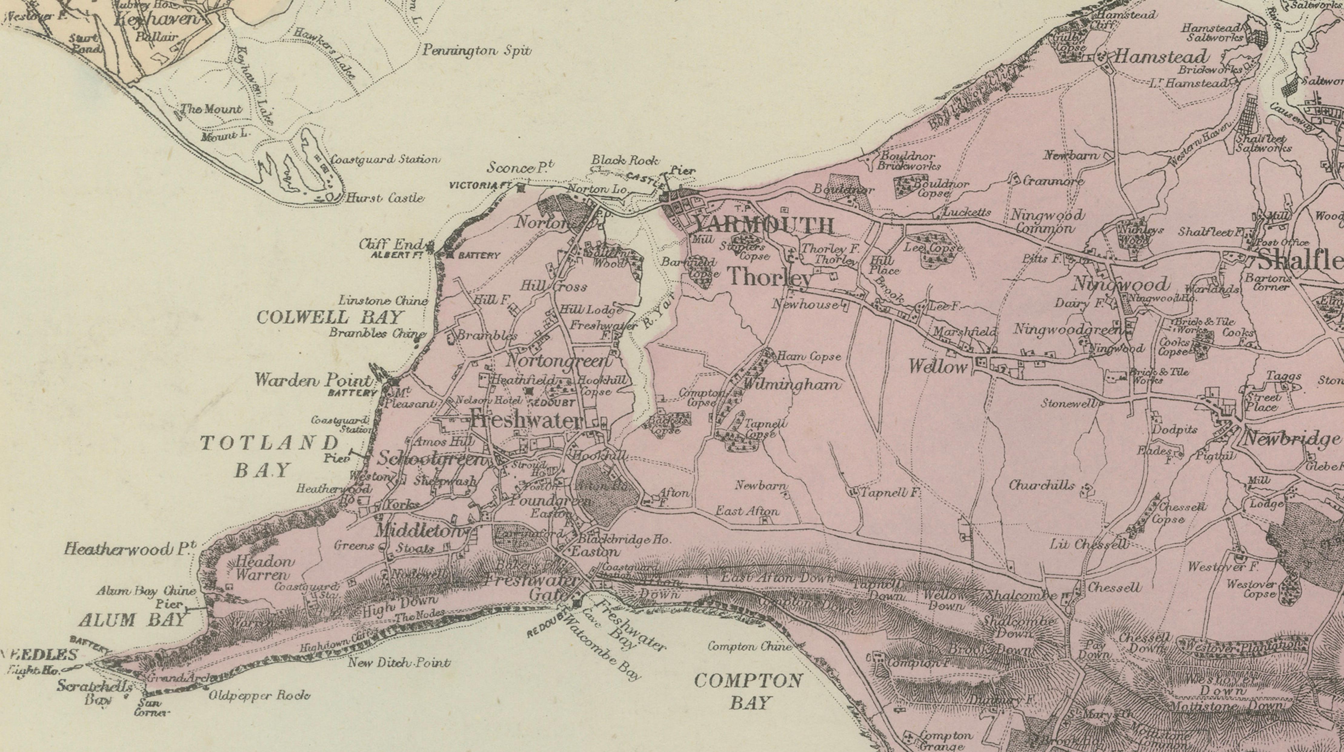
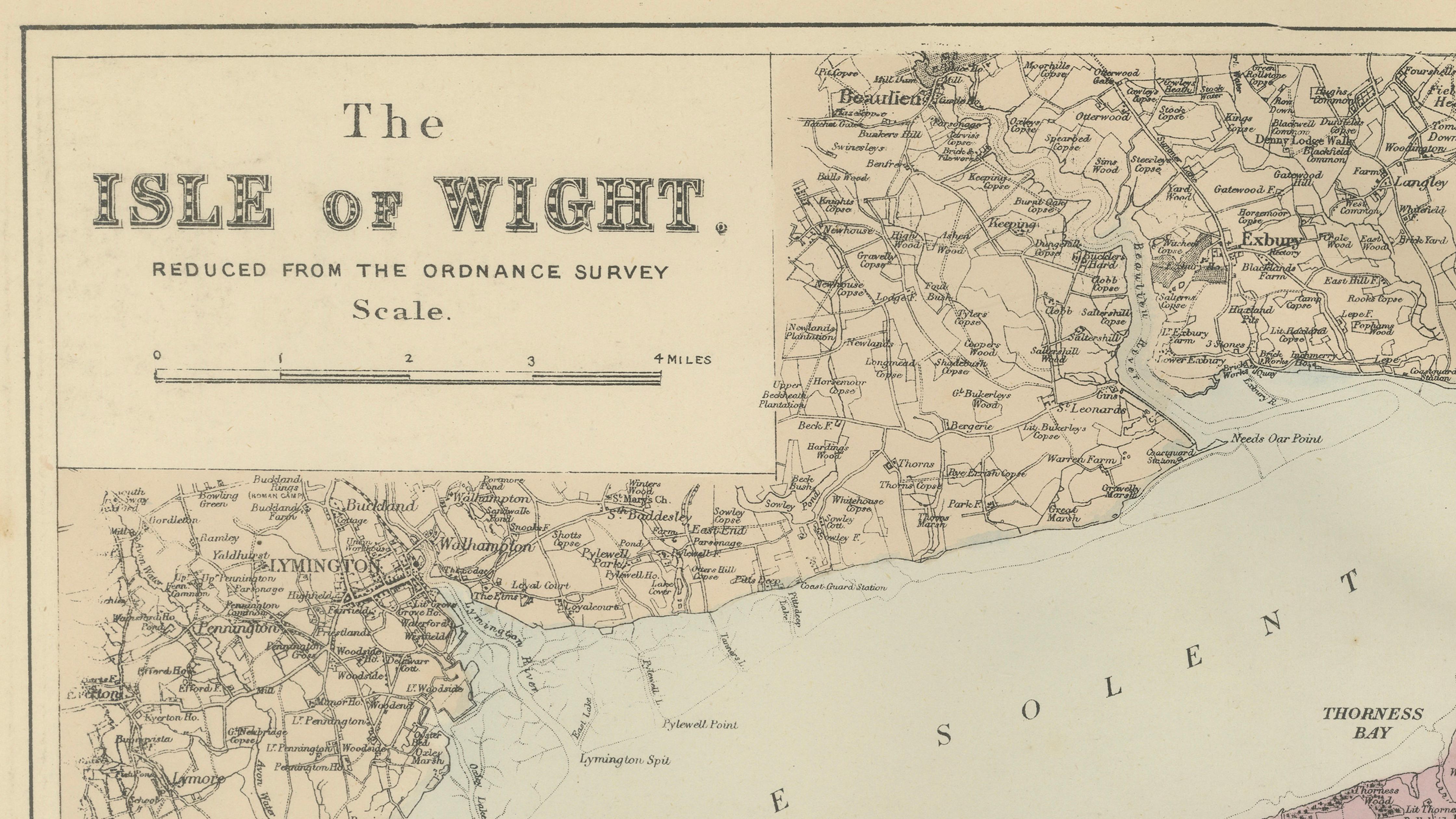
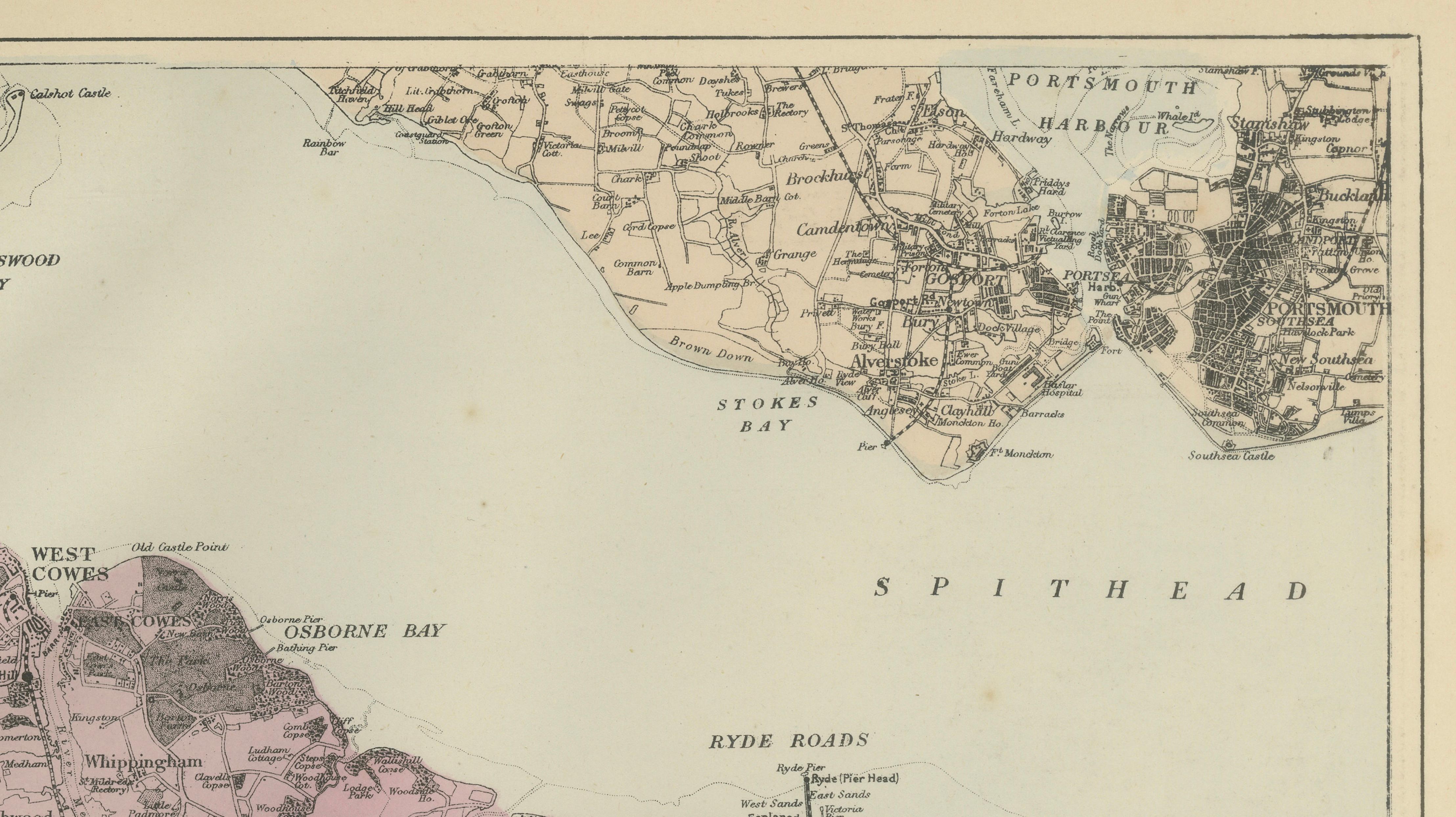
This finely engraved large-scale map of the Isle of Wight was published in London in 1885 by George W. Bacon and issued as part of his authoritative New Large Scale Ordnance Atlas of the British Isles. The map is explicitly noted as “Reduced from the Ordnance Survey,” reflecting Bacon’s practice of adapting official government survey data for high-quality commercial atlases intended for both reference and display.
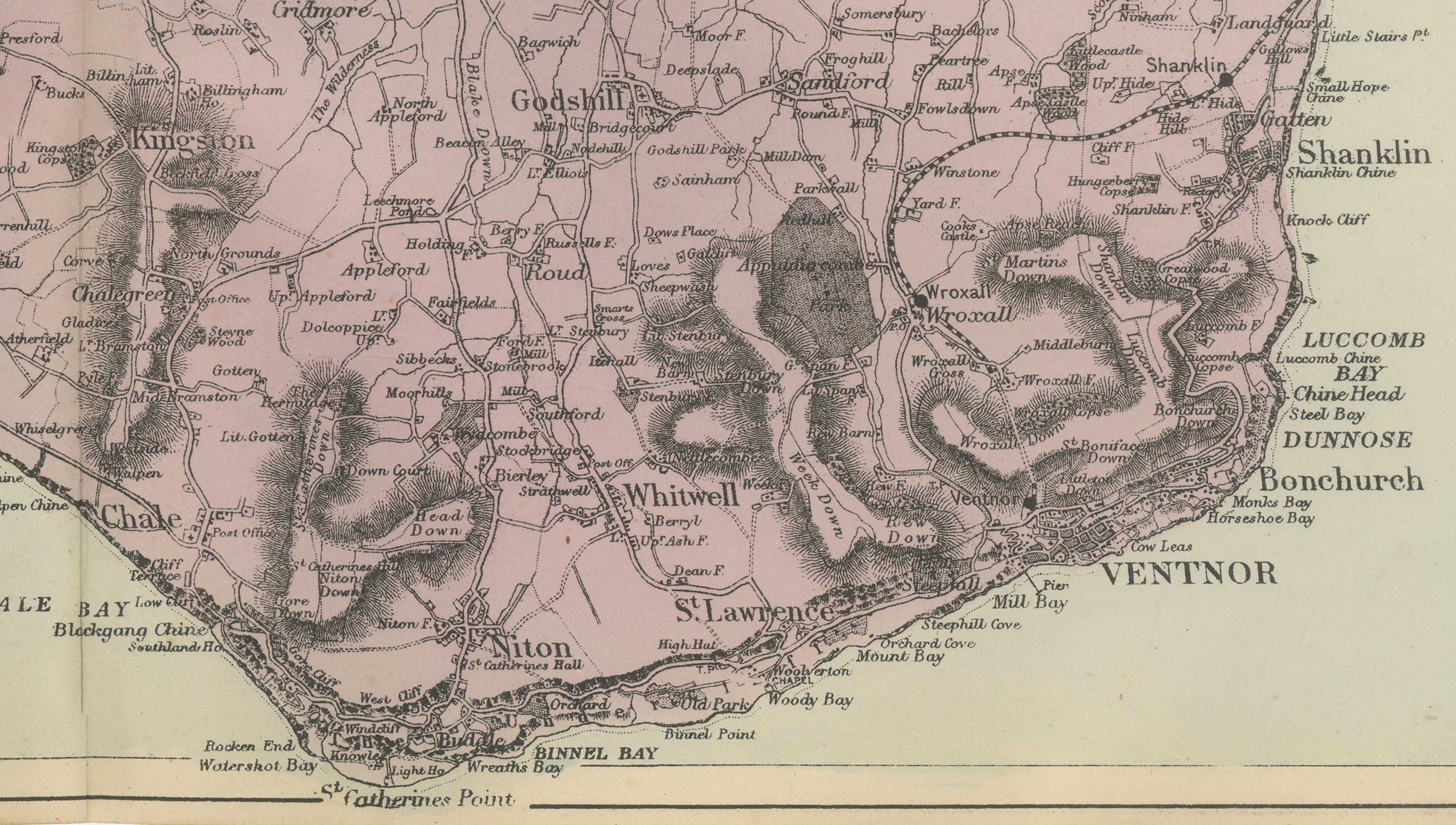
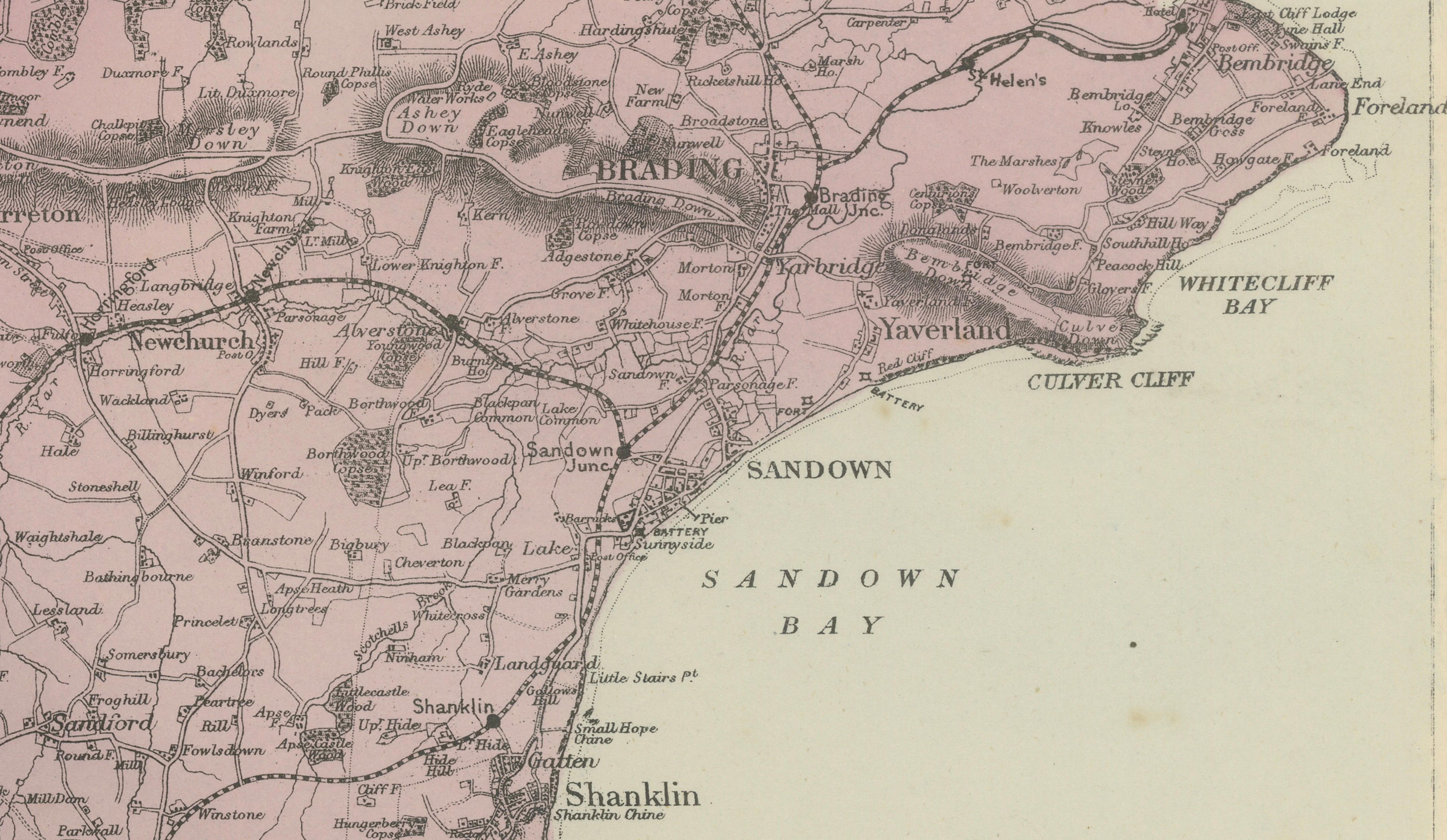
The island is shown in impressive detail, with an exceptionally clear rendering of its road network, towns, villages, bays, and topographical features. Relief is conveyed through fine engraved hachuring, particularly dramatic across the central downs and the southern coastal cliffs, giving the map a strong sense of landscape and elevation. Administrative boundaries are delicately picked out in original outline colour, lending visual structure while preserving the crisp legibility of the engraving.
The surrounding mainland coast is also included, with inset sections showing parts of Hampshire and the Solent, including Portsmouth Harbour and Spithead. This contextual framing highlights the Isle of Wight’s strategic maritime position and long-standing naval importance, especially during the 19th century. Coastal features such as Sandown Bay, Brighstone Bay, and Alum Bay are clearly defined, alongside inland centres including Newport, Ryde, Cowes, and Ventnor.
George W. Bacon’s maps are highly regarded for their combination of technical accuracy and restrained Victorian elegance. This example is particularly attractive for collectors with an interest in British coastal geography, Ordnance Survey-derived cartography, or the Isle of Wight itself. It also works extremely well as a decorative wall map, offering a refined, quietly detailed aesthetic suited to both traditional and contemporary interiors.
Keyword block
Isle of Wight, Newport, Ryde, Cowes, West Cowes, East Cowes, Ventnor, Sandown, Shanklin, Freshwater, Yarmouth, Brighstone, Godshill, Bembridge, Totland, Alum Bay, Sandown Bay, Brighstone Bay, The Solent, Spithead, Portsmouth Harbour, Victorian map, Ordnance Survey map, George W Bacon, London 1885
Condition report:
Good antique condition. Light overall age toning with occasional faint spotting, mostly in the margins. Central vertical fold as issued. Original outline colour remains fresh. No significant tears or losses.
Framing tips:
This map pairs beautifully with a medium walnut or dark oak frame and a soft off-white or pale grey mat. A slightly wider mat will enhance the fine engraving and subtle colouring, creating an elegant focal piece for a study, hallway, or coastal interior.
Technique: Lithograph with original outline colour
Maker: George W. Bacon, London, 1885