About this sheet
Ancient Asia Minor Map — Classical Anatolia & Pontus, Wilkinson London 1815
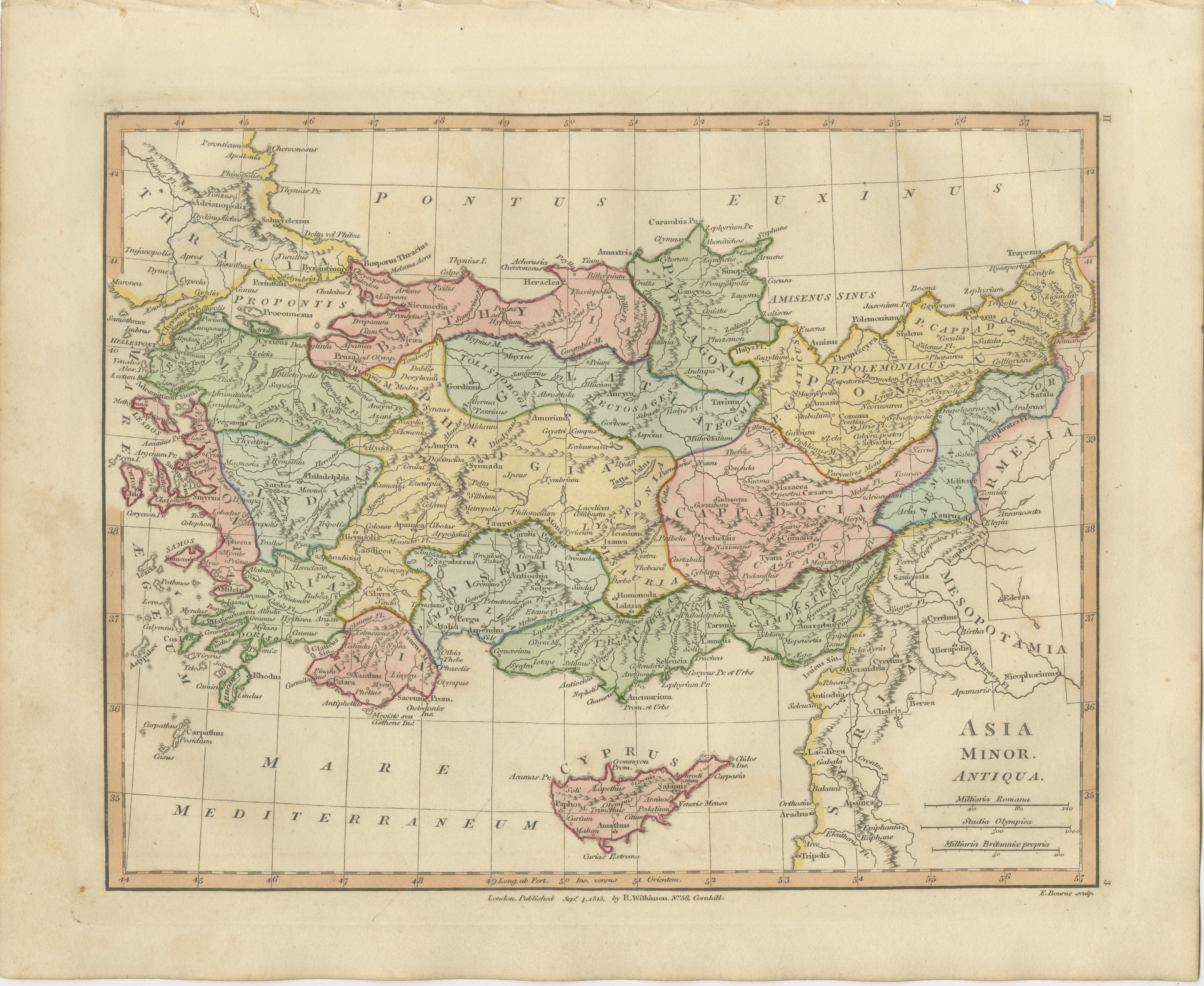
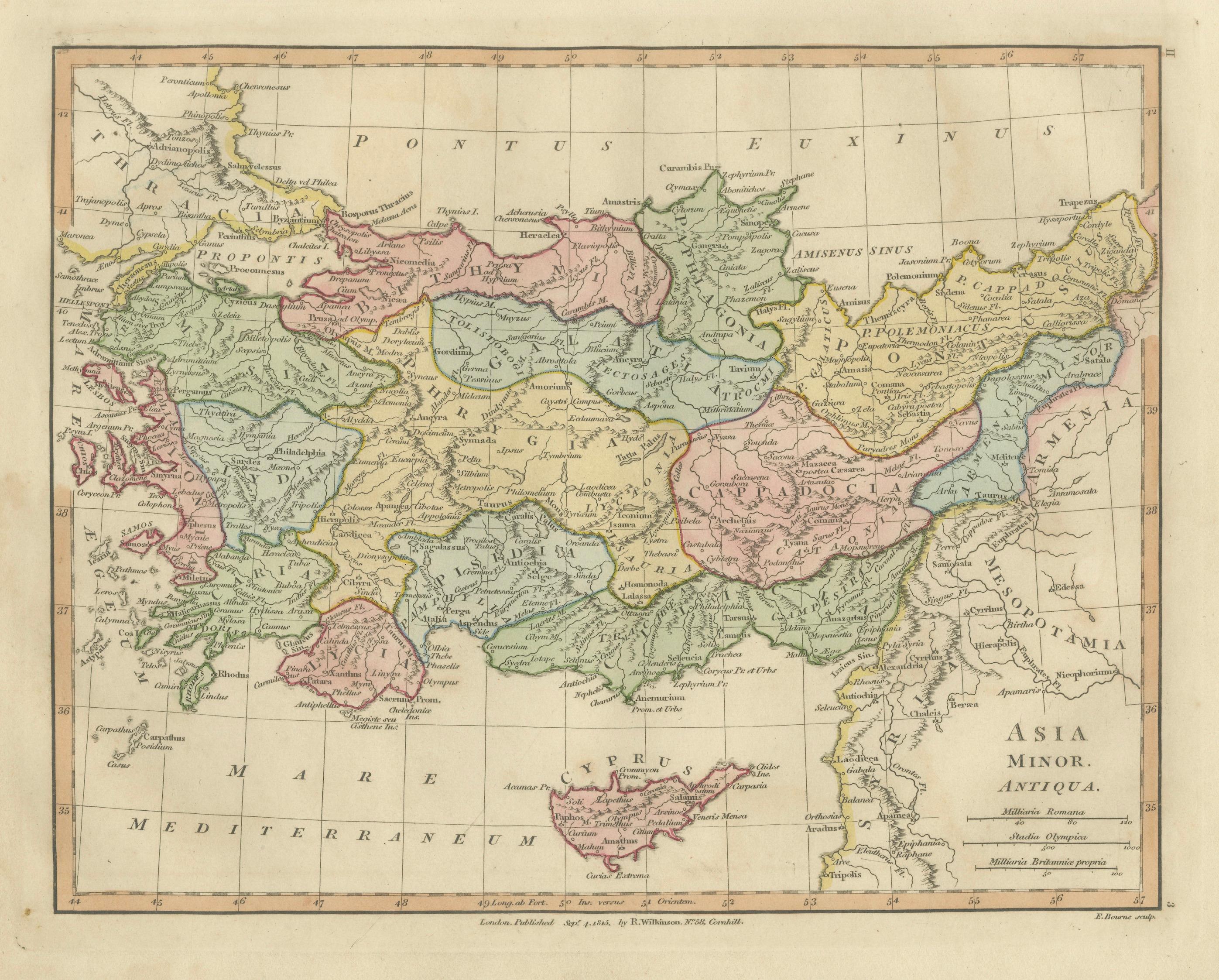
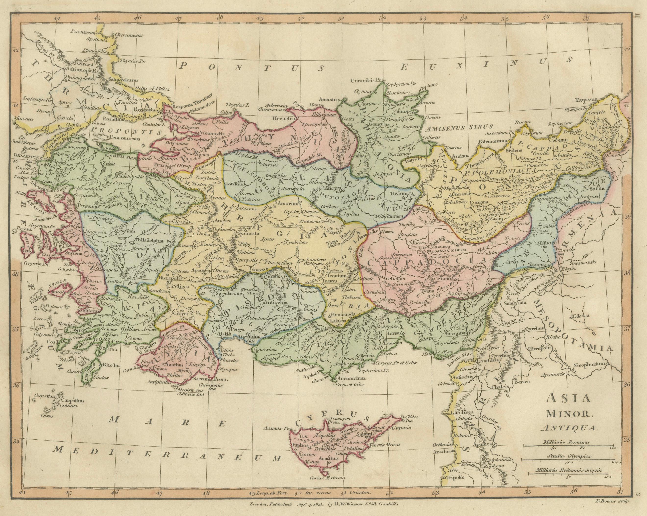
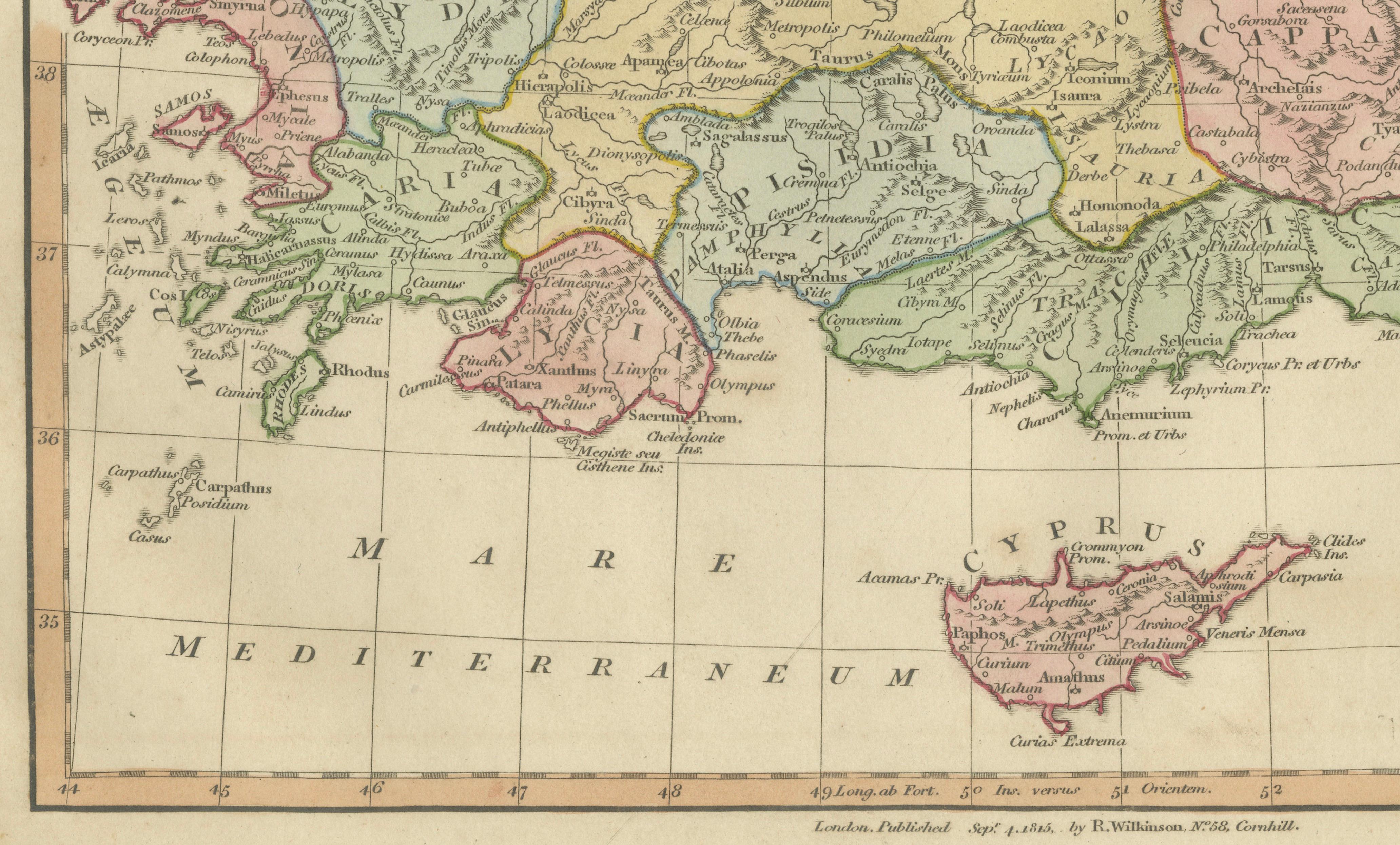
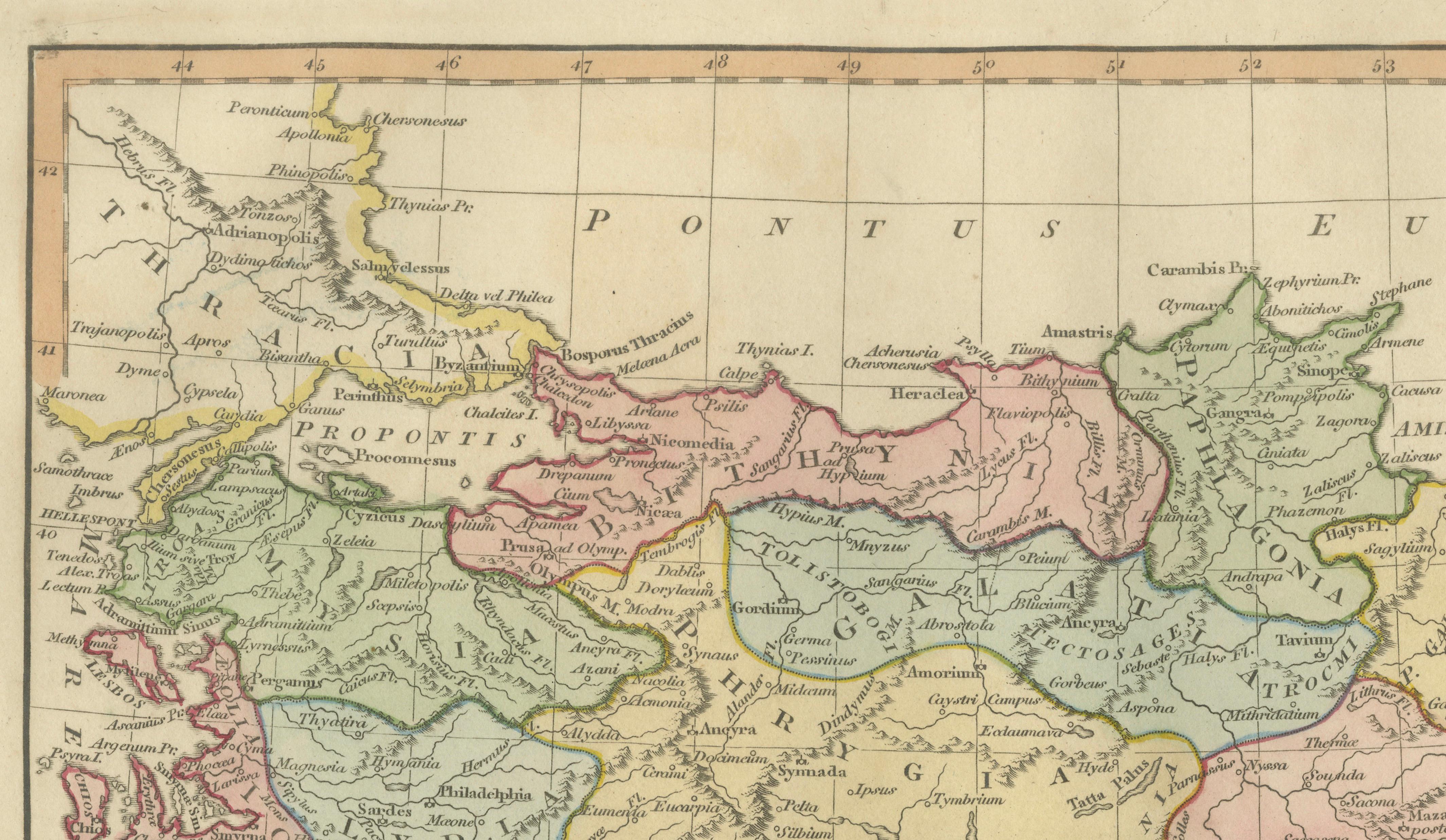
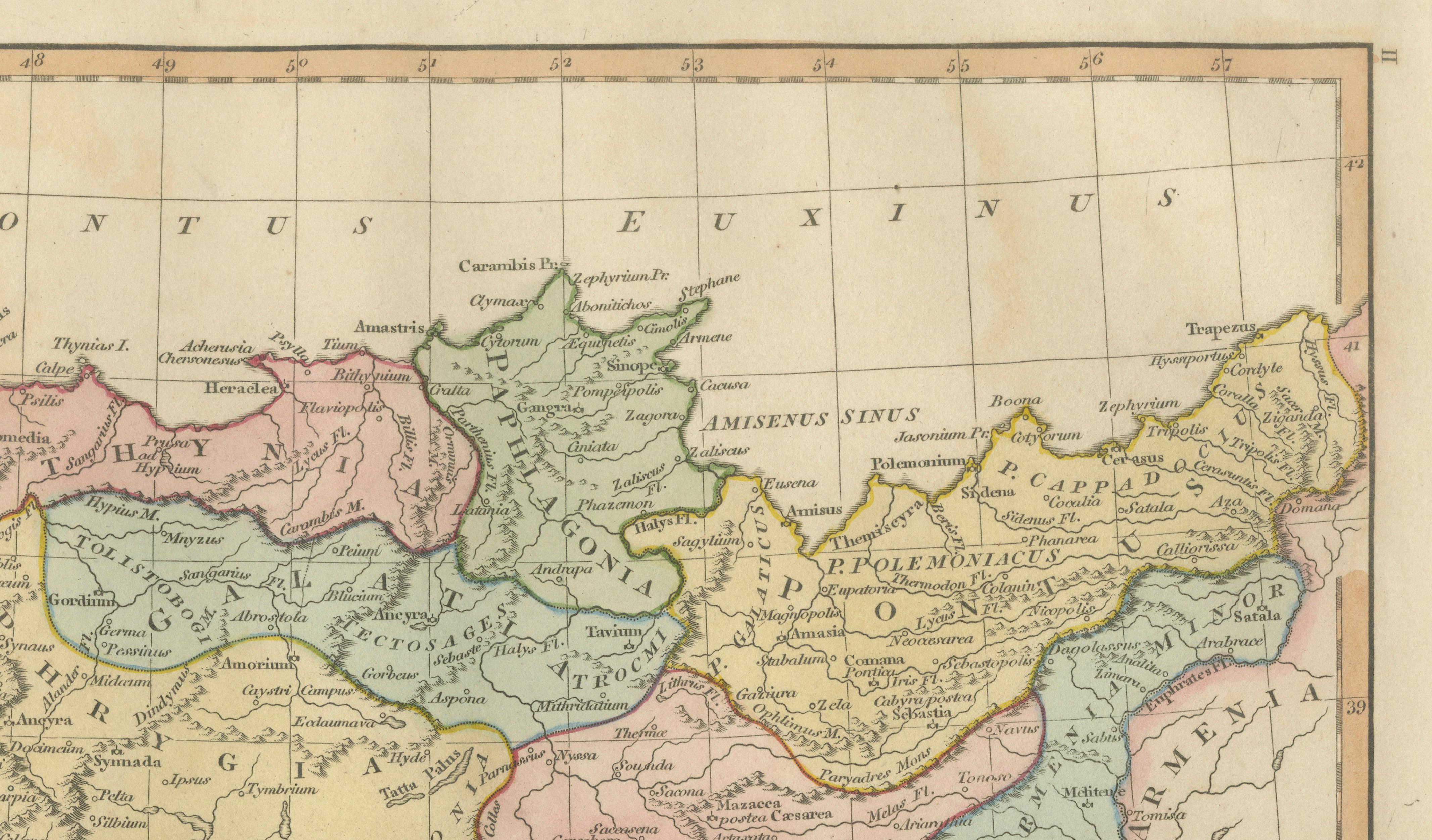
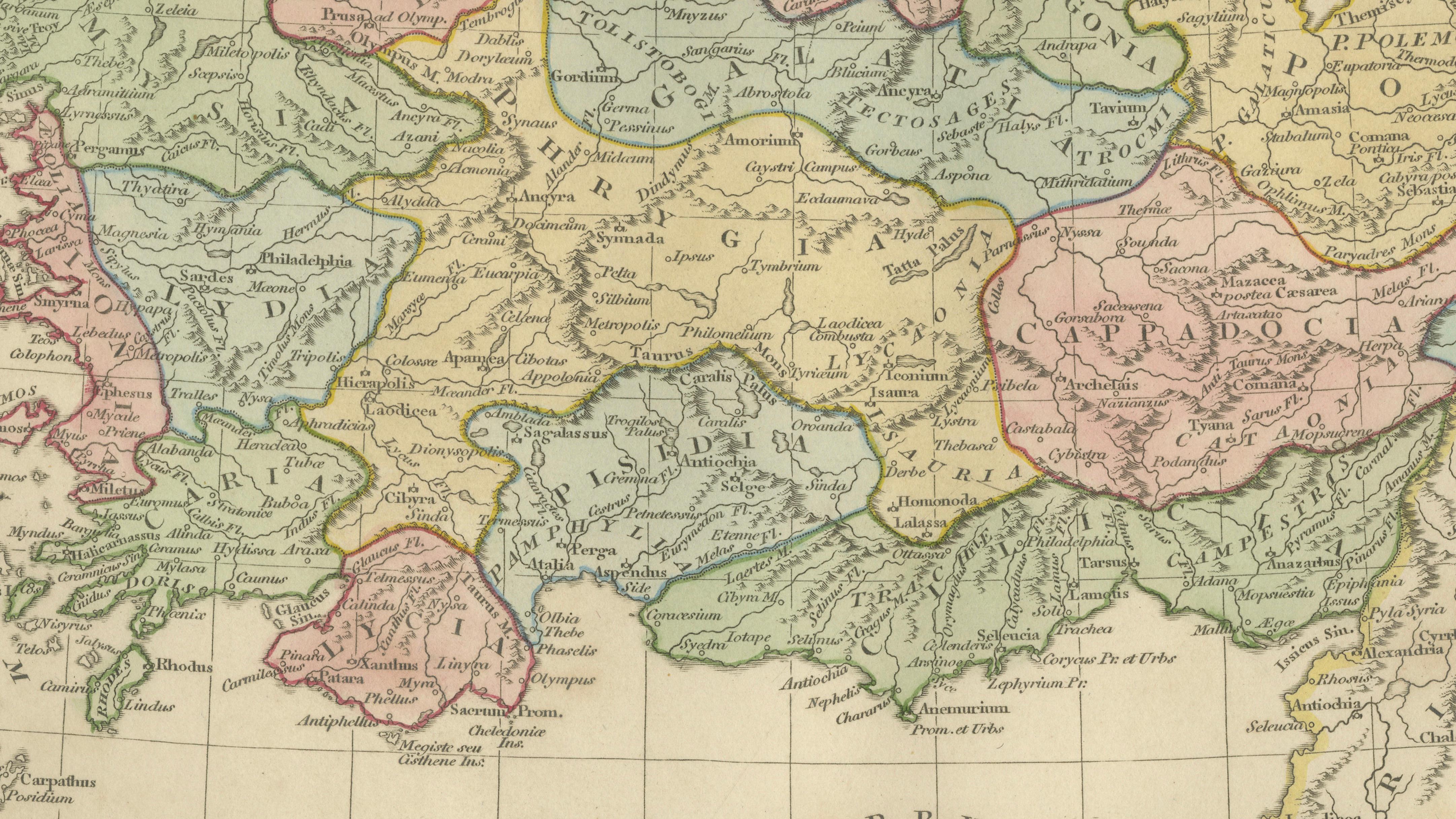
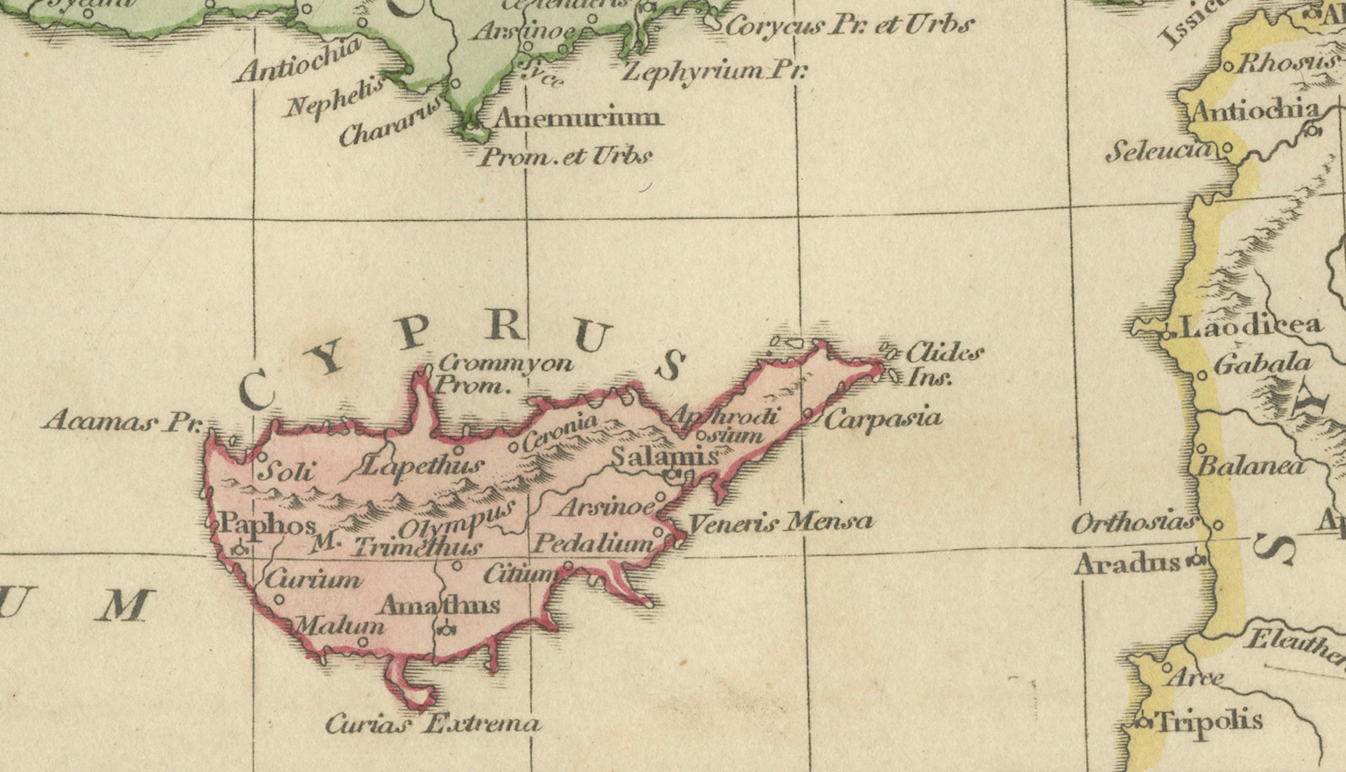
This finely engraved and original hand-colored antique map titled Asia Minor Antiqua depicts the ancient geography of Anatolia — modern-day Turkey — as understood through classical Greek and Roman sources. Published in London in 1815 by Robert Wilkinson, the map forms part of his celebrated historical atlas reconstructing the ancient world for early nineteenth-century scholars and collectors.
The composition stretches from the Aegean Sea to Mesopotamia and from the Black Sea (Pontus Euxinus) southward to the Mediterranean, presenting a richly detailed vision of classical Asia Minor. Ancient regions including Bithynia, Galatia, Cappadocia, Lycia, Caria, Lydia, Phrygia, Pontus, and Cilicia are clearly delineated in delicate pastel hand coloring, allowing the viewer to visualize political and cultural divisions described by ancient historians.
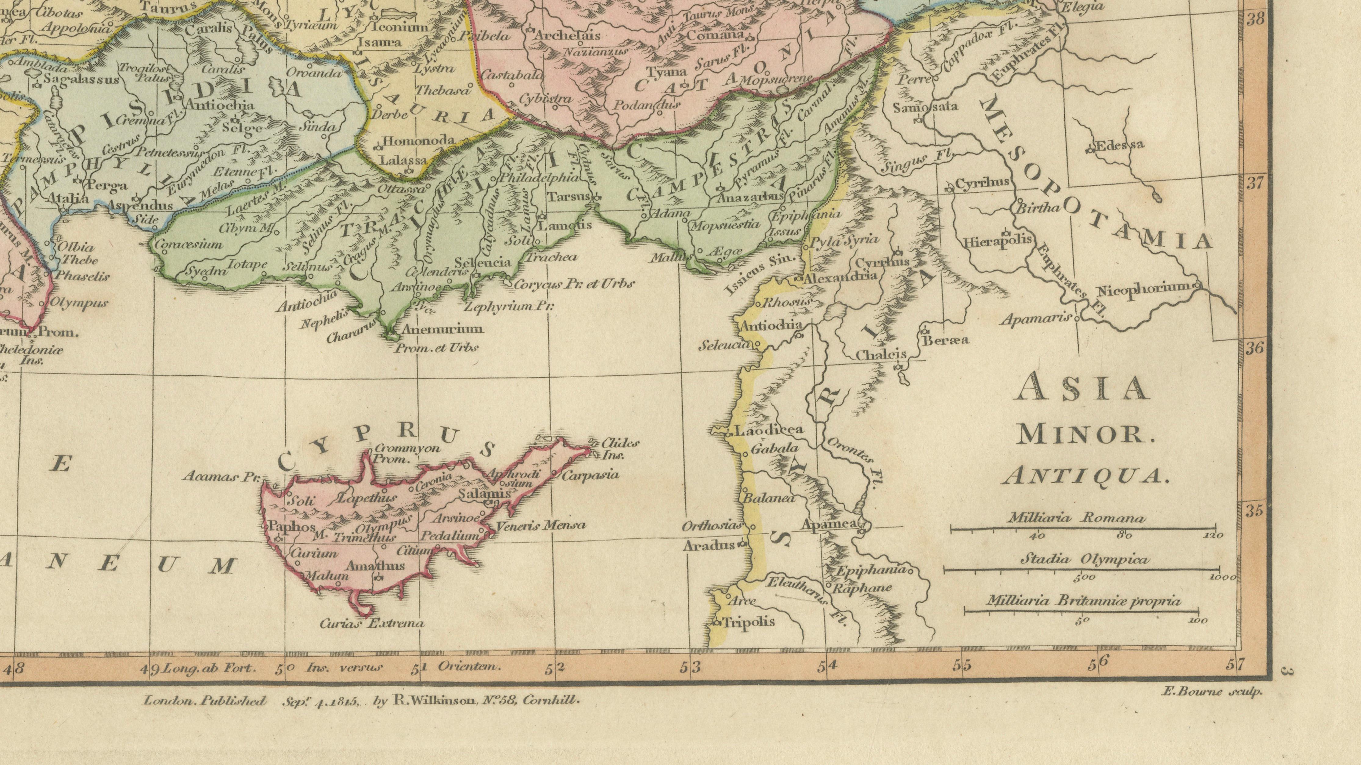
Cities central to antiquity — such as Ephesus, Smyrna, Troy, Sardis, and Antioch — appear alongside rivers, mountain chains, and coastal settlements engraved with remarkable precision. Cyprus is prominently included at the lower center, reinforcing the map’s importance as a representation of eastern Mediterranean geography during the classical era.
Wilkinson’s historical maps were produced during a period of intense European fascination with classical civilization, archaeology, and ancient literature. Rather than depicting contemporary political borders, these maps sought to recreate the world of antiquity itself, blending Enlightenment scholarship with elegant decorative cartography. The refined engraving, balanced layout, and restrained coloring give the map both intellectual depth and strong aesthetic presence.
Today, examples from the Wilkinson atlas are especially valued for their harmonious combination of academic clarity and decorative sophistication, making them ideal for collectors of classical history as well as interior designers seeking timeless historical imagery.
Condition: Good antique condition overall. Light age-related toning with scattered spotting and minor handling wear confined mainly to the margins. Plate mark visible.
Framing tips: Beautifully suited to a dark walnut or ebonized frame with an ivory mount. A wide mat enhances the subtle pastel coloring and creates a museum-style presentation ideal for study or library interiors.
Technique: Copperplate engraving with original hand color
Maker: Robert Wilkinson, London, 1818
Keywords:
Asia Minor Antiqua, Anatolia antique map, Pontus Euxinus, Cappadocia, Galatia, Bithynia, Phrygia, Lydia, Caria, Lycia, Cilicia, Troas, Troy, Ephesus, Smyrna, Sardis, Antioch, Cyprus antique map, ancient Turkey map, classical Asia Minor geography, Roman provinces Anatolia, Wilkinson Atlas 1815, eastern Mediterranean antiquity, antique classical map