About this sheet
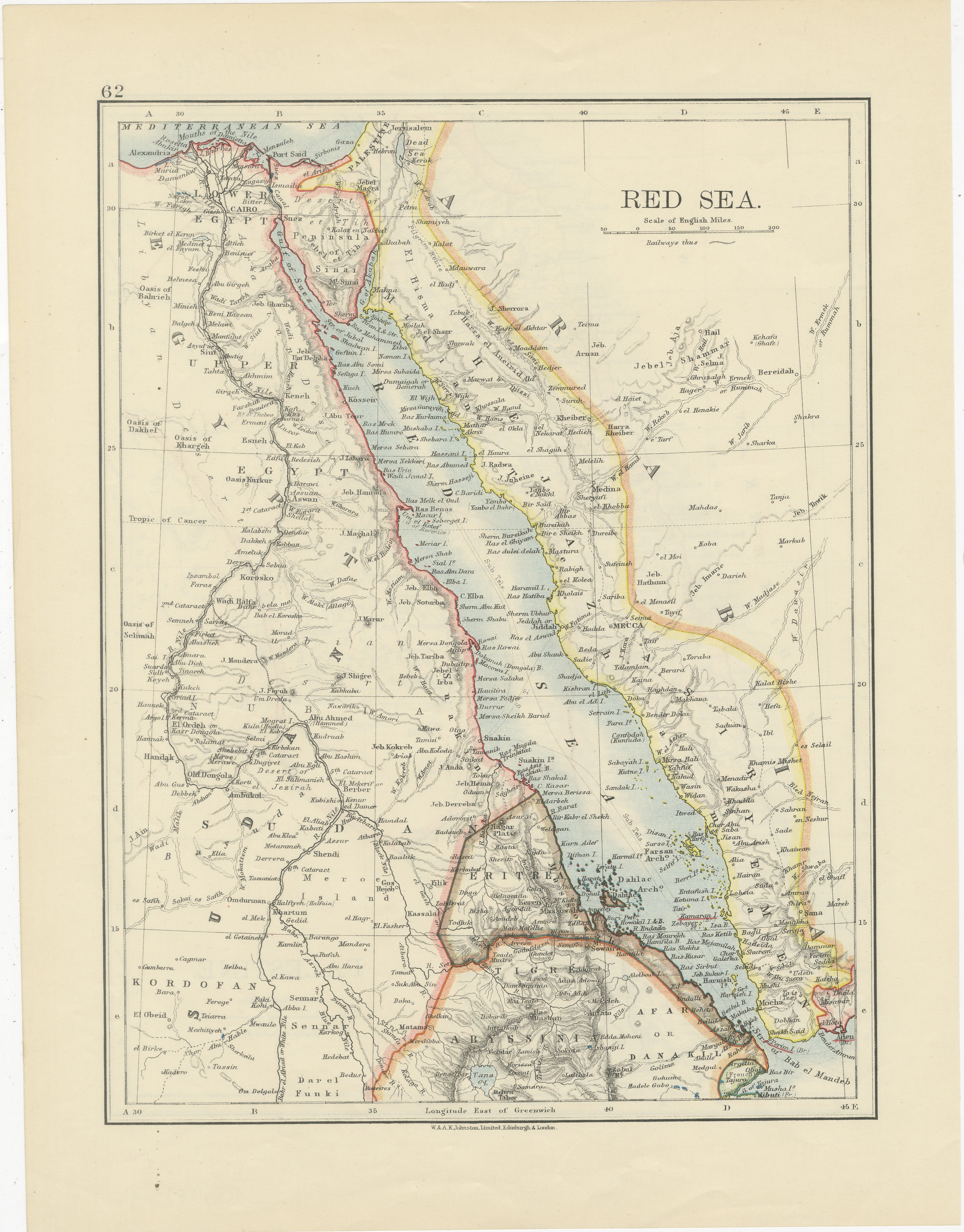
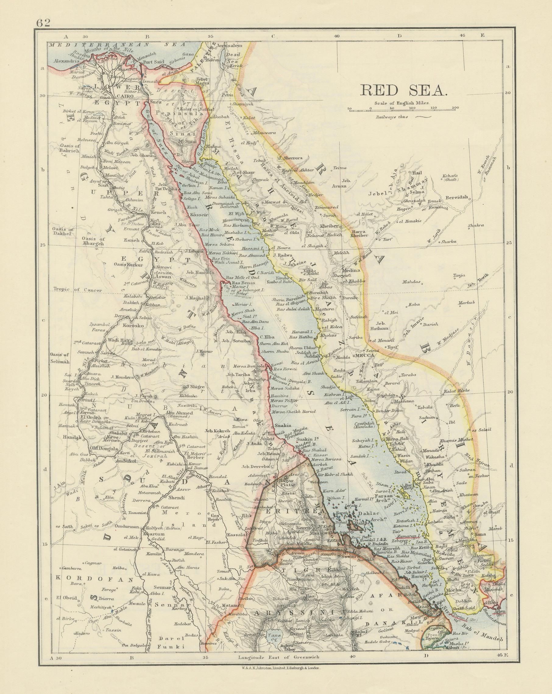
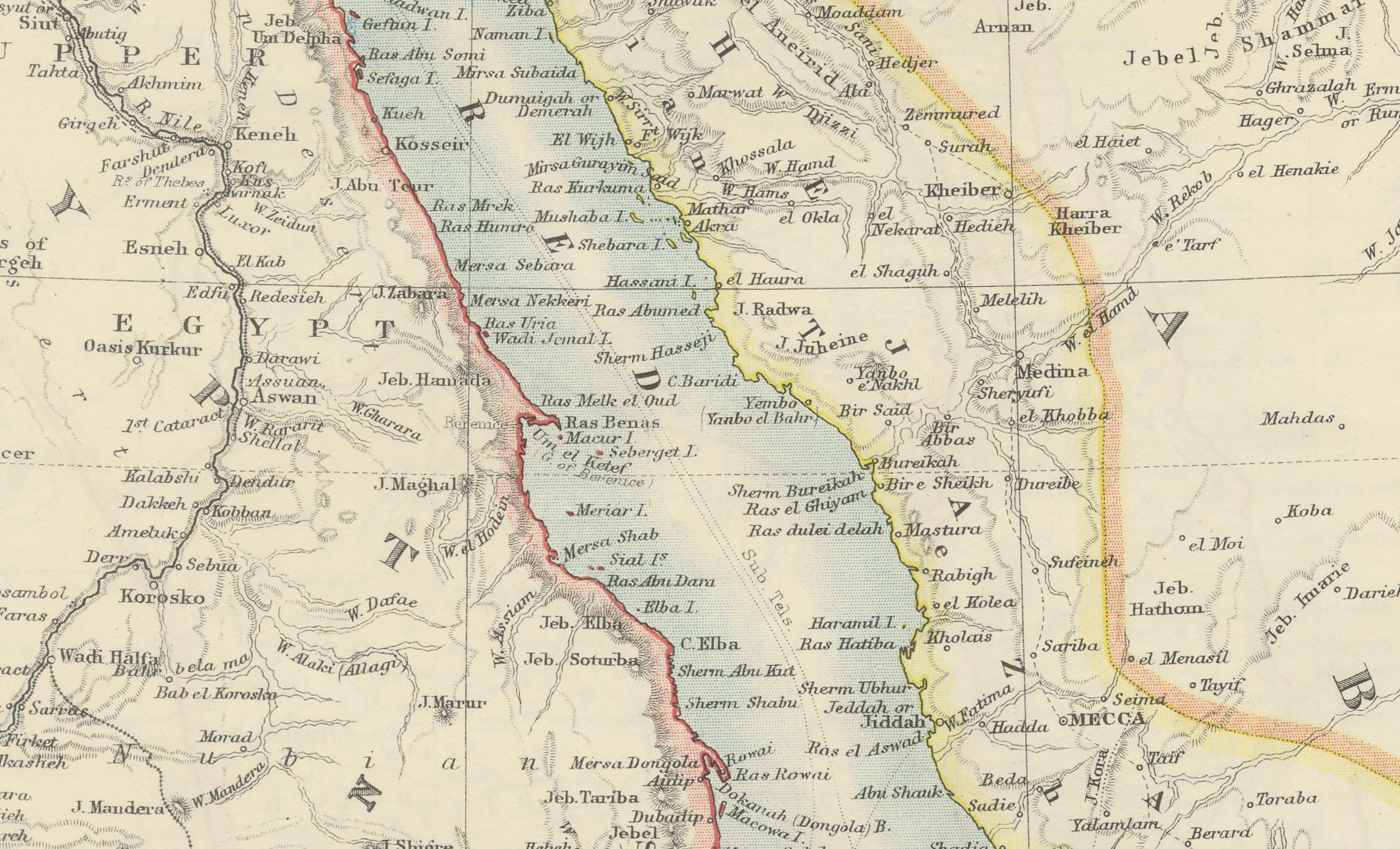
Red Sea Map by W. & A.K. Johnston, Edinburgh & London, c.1895
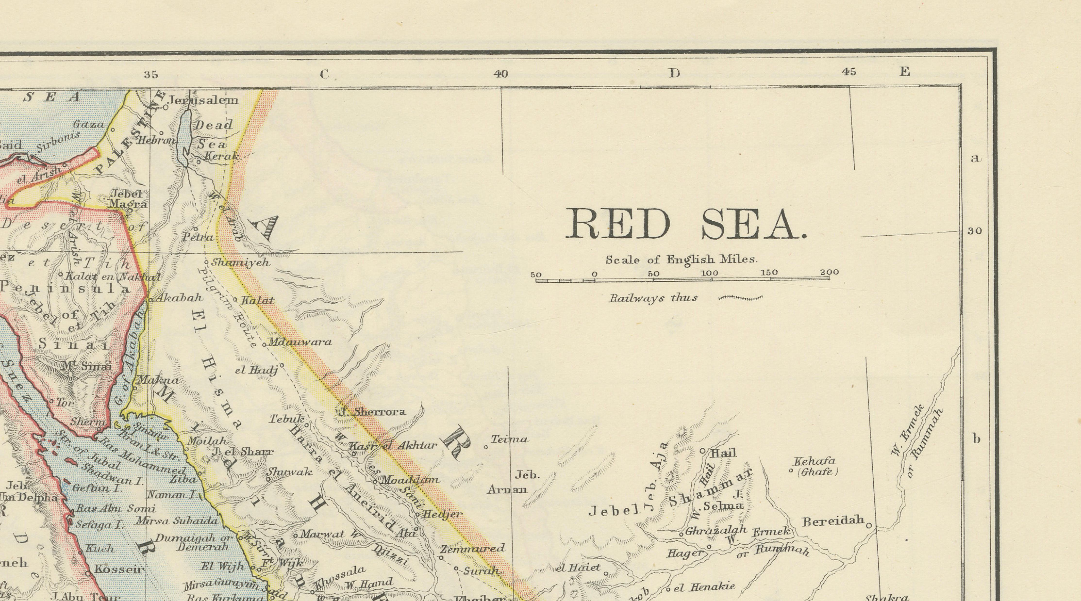
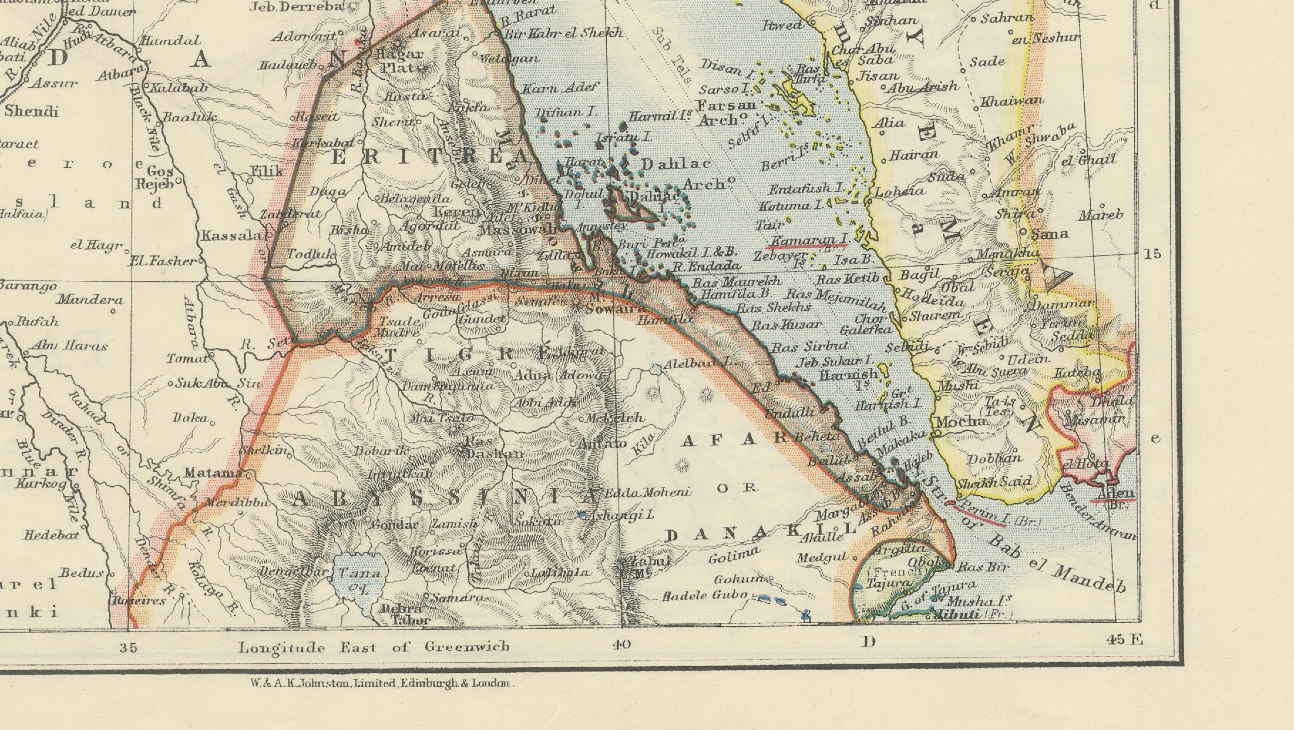
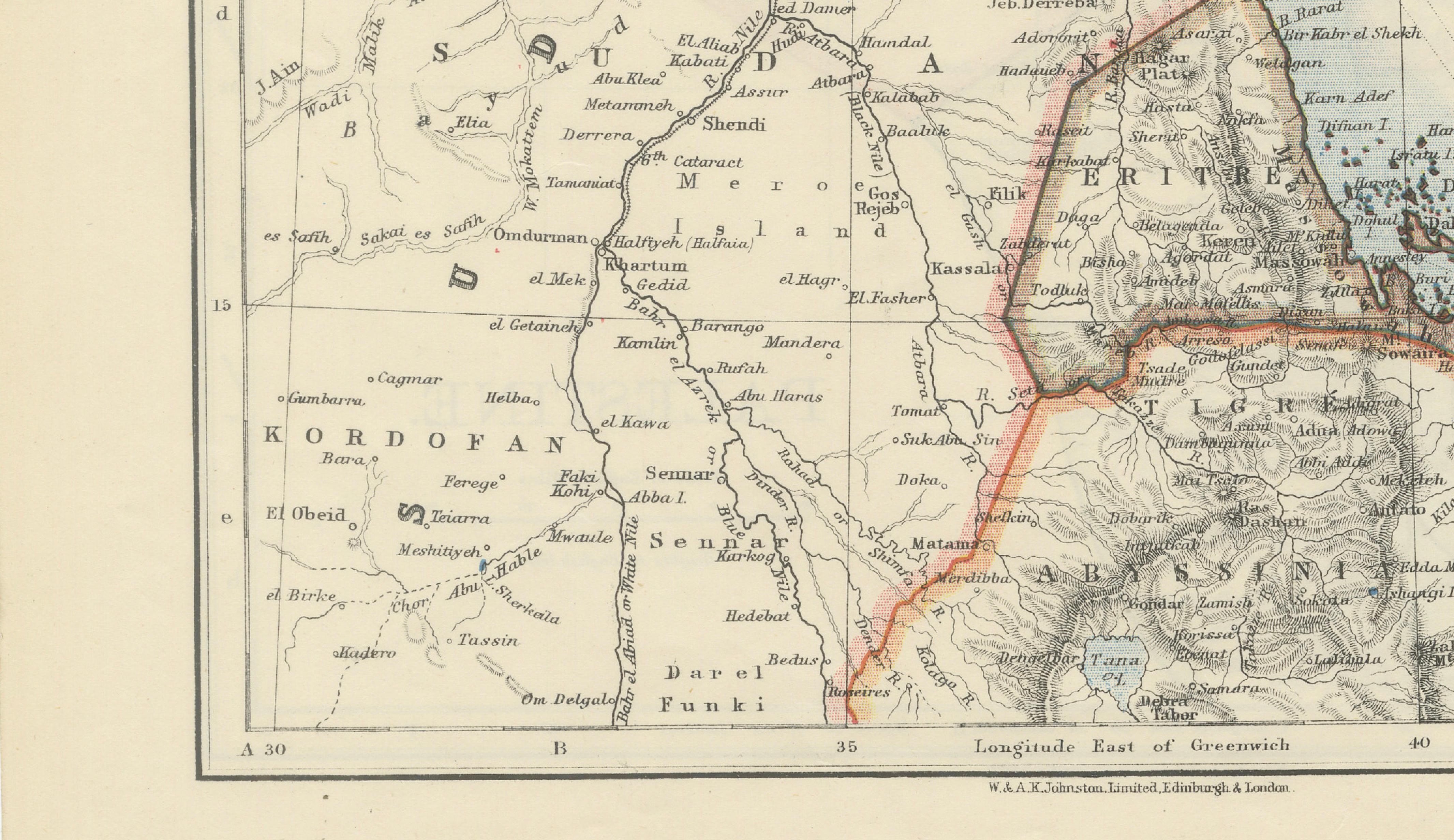
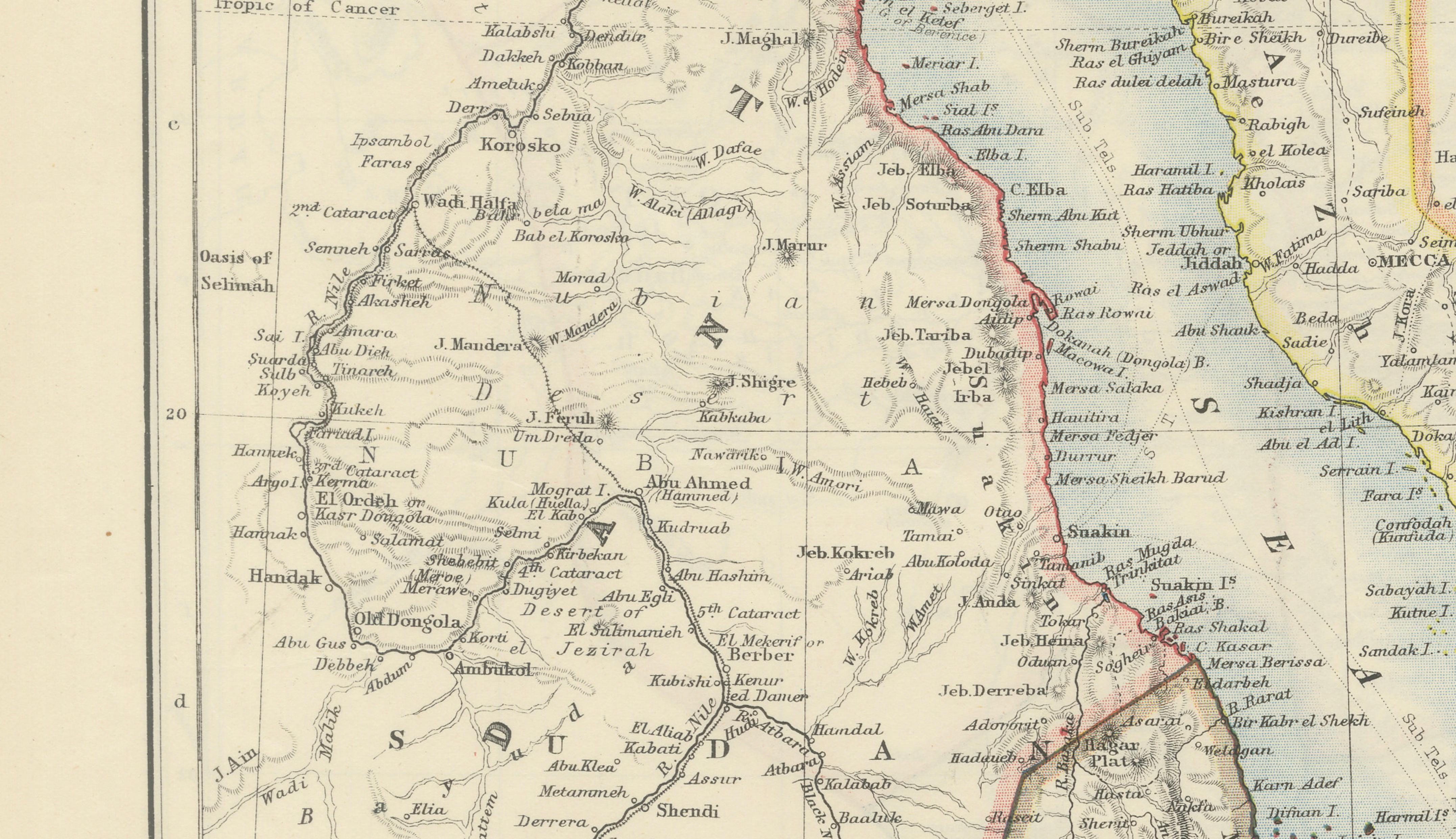
This finely detailed late-19th century map of the Red Sea region was produced by the renowned Scottish cartographic firm W. & A.K. Johnston for their celebrated World-Wide Atlas of Modern Geography, published in Edinburgh and London around 1895–1900. The map captures one of the world’s most strategically important maritime corridors during the high age of imperial trade, exploration, and colonial expansion.
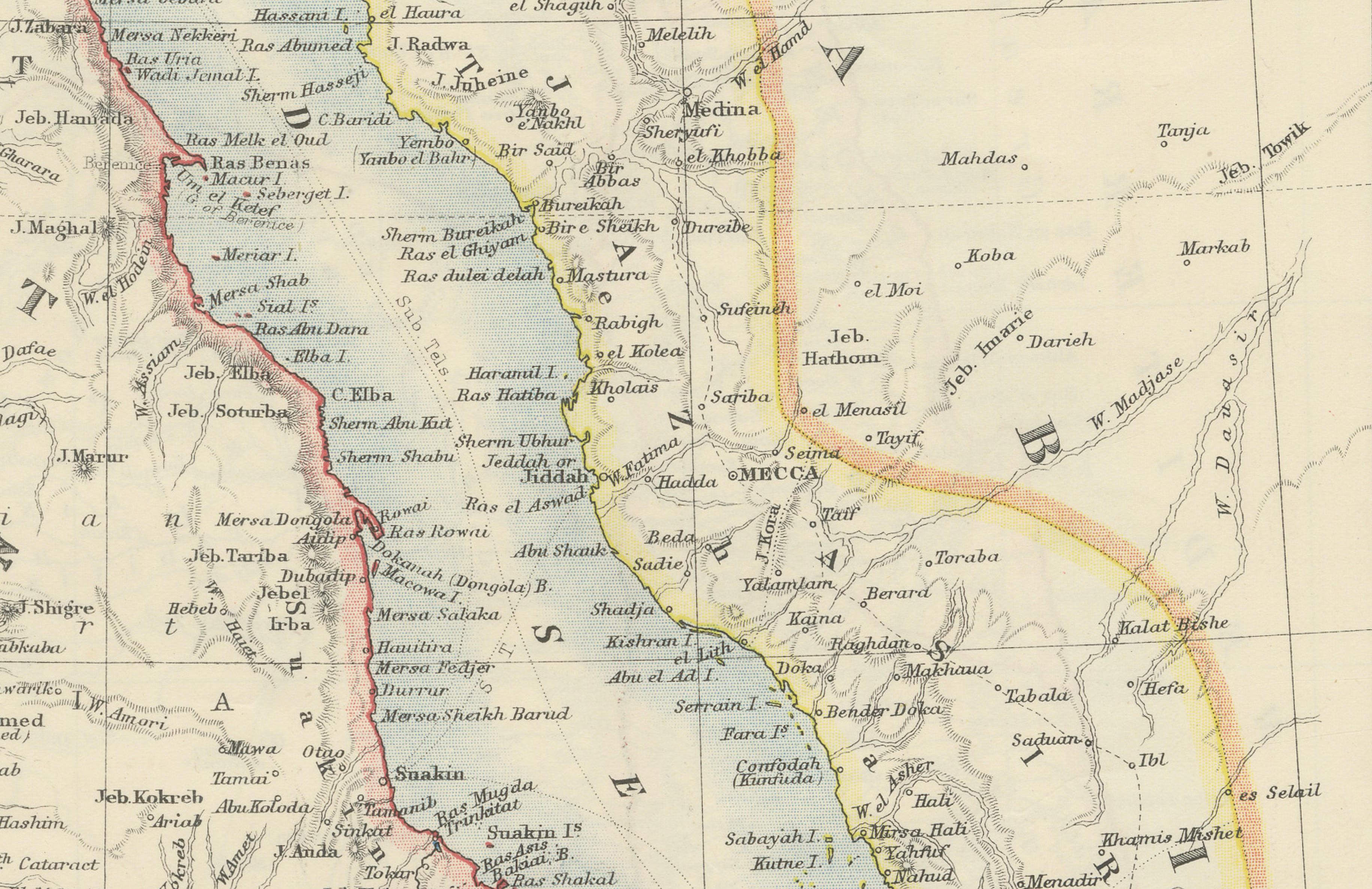
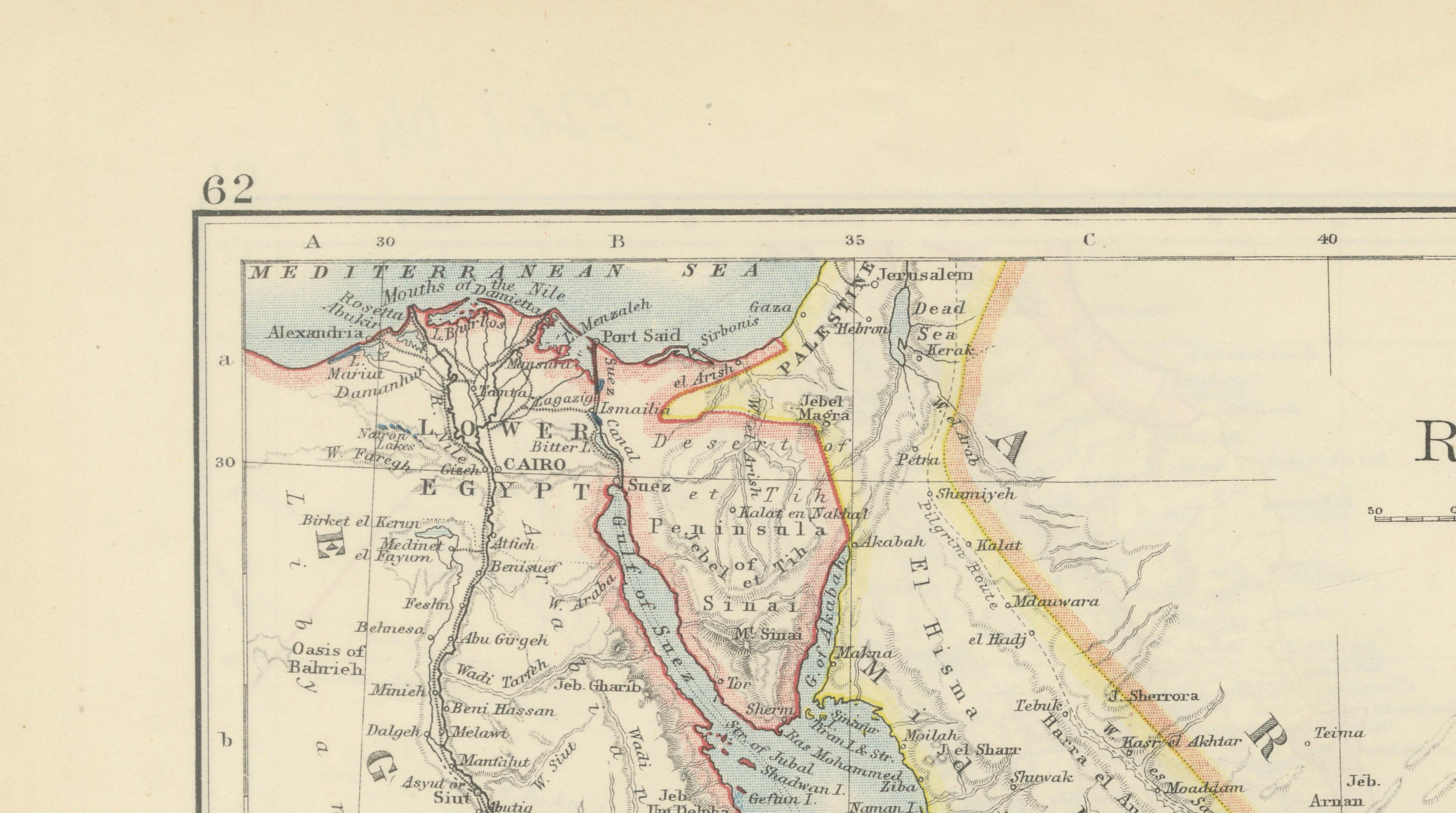
The composition centers on the Red Sea itself, extending from the Mediterranean approaches and Suez southward to the Gulf of Aden and the Bab-el-Mandeb Strait. Surrounding territories include Egypt, Sudan, Eritrea, Abyssinia (Ethiopia), Arabia, and portions of the western Arabian Peninsula including Mecca and Medina. Railways, caravan routes, coastal settlements, islands, and mountain ranges are carefully identified, reflecting the increasing geopolitical significance of the region following the opening of the Suez Canal in 1869.
Johnston maps are admired for their exceptional clarity and refined Victorian cartographic style. Delicate pastel outline coloring distinguishes political territories, while finely engraved topographical details create depth across deserts, coastlines, and mountain ranges. The typography is elegant and highly legible, characteristic of sophisticated British atlas production from the late 19th century.
During this period the Red Sea became one of the principal arteries of global maritime commerce connecting Europe with India and Asia. British strategic interests in Egypt, Aden, and the Suez Canal transformed the region into a focal point of international politics and colonial expansion. Maps such as this one were designed for educational use as well as for diplomats, merchants, military officers, and travelers interested in the rapidly changing geography of the modern world.
The elongated vertical format and restrained coloring give the map excellent decorative appeal. It displays beautifully in both traditional and contemporary interiors and works particularly well in studies, libraries, maritime-themed spaces, or minimalist modern settings.
Condition: Good antique condition with age-related toning and minor handling wear. Light foxing and small marginal marks consistent with age. Original center fold visible as issued. Color remains fresh and attractive.
Framing tips: Particularly effective in a thin dark walnut or black frame with a generous ivory mat for a refined British library appearance. Also highly suitable for modern minimalist interiors due to the clean cartographic design.
Technique: Lithographed map with original outline coloring
Maker: W. & A.K. Johnston, Edinburgh & London, circa 1895–1900
Note: The map is an original antique print, not a reproduction. All items we offer are authentic period works of art over 100 years old. The pieces are sold unframed; any framed images are shown for presentation and interior inspiration only and may not always be to scale.