About this sheet
Antique Map Worcestershire England – John Cary County Map, Roads & Hundreds, c.1805
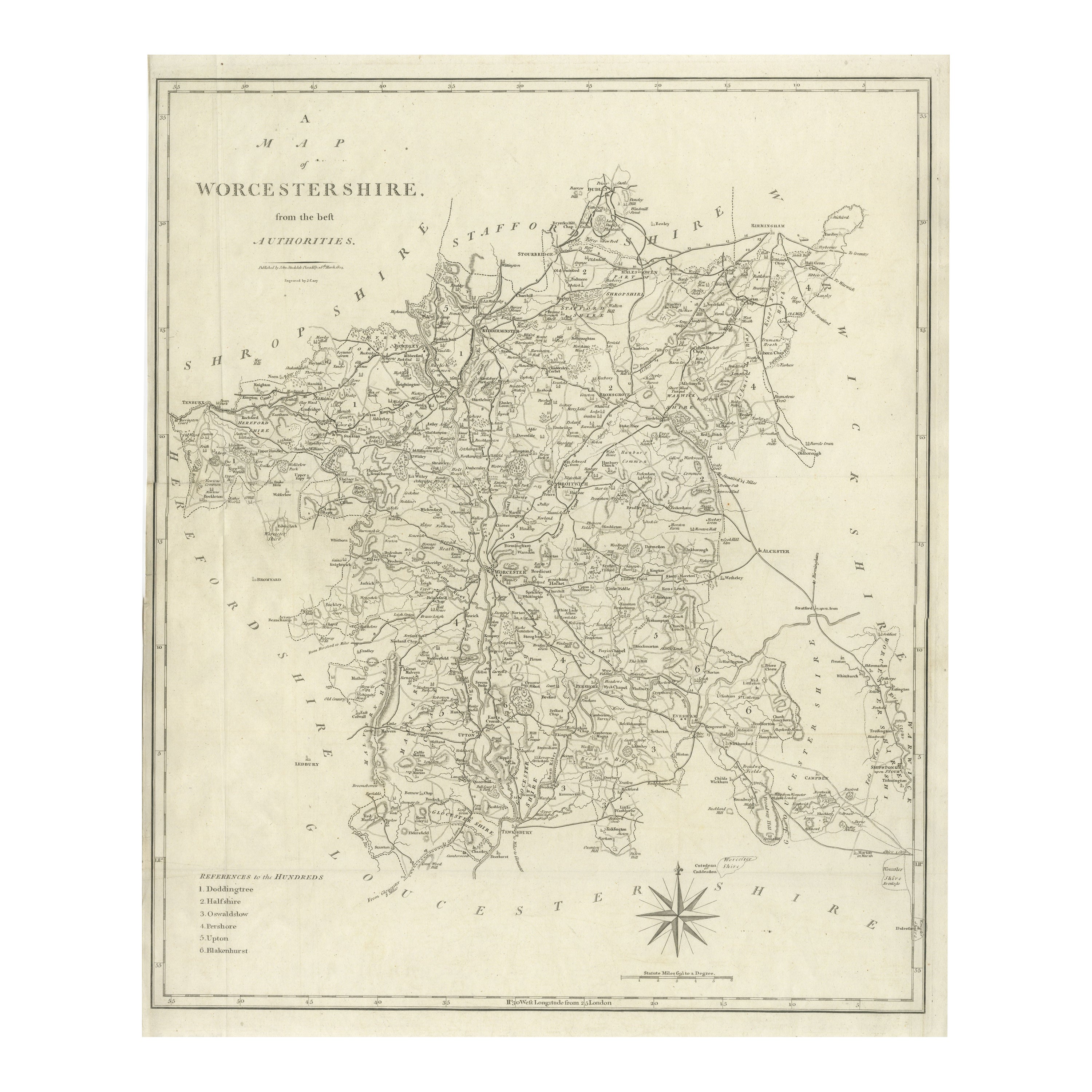

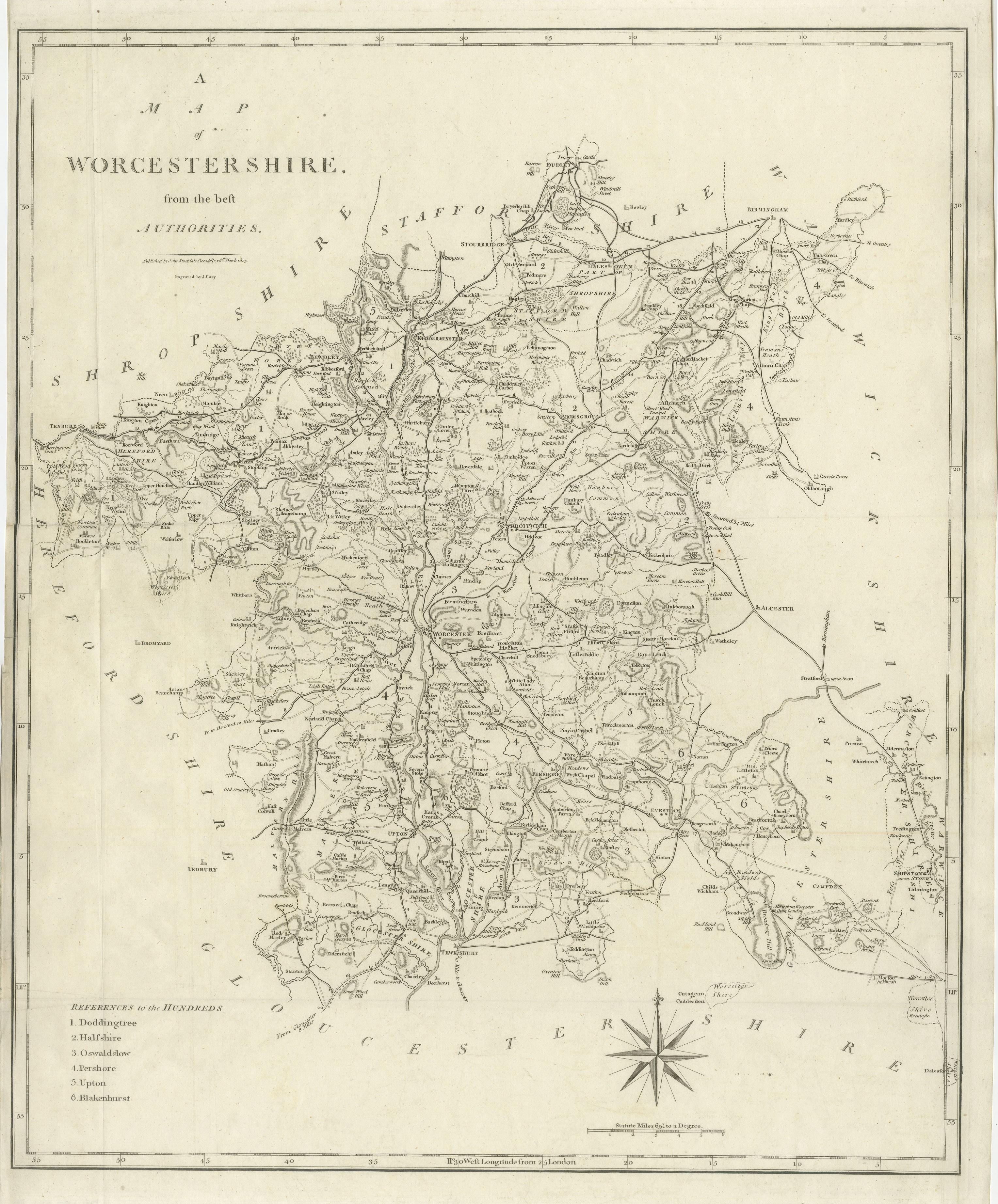
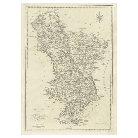
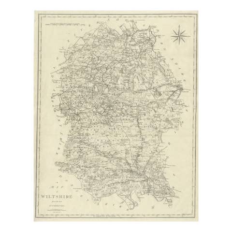
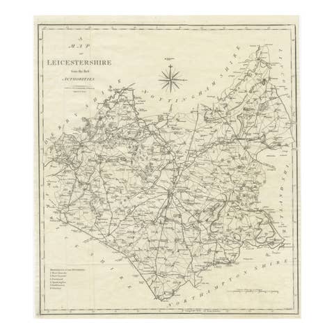
Original antique engraved county map titled “Map of Worcestershire from the best Authorities,” produced by the eminent English cartographer John Cary and published in the early nineteenth century, circa 1805. This large-format county map exemplifies Cary’s refined cartographic style, combining precise geographic information with elegant and highly readable engraving.
The map presents Worcestershire in remarkable detail, showing towns, villages, road networks, rivers, parish divisions, and historic administrative “hundreds.” Cary’s maps were widely respected for their accuracy and were often based on the latest surveys available, reflecting the growing importance of reliable geographic data during the Georgian period. The clear layout and carefully balanced typography made his maps highly practical for travelers and administrators, while also appealing visually for collectors and display.
Worcestershire occupies an important geographic position in central England, historically serving as an agricultural and commercial region connected by major routes linking the Midlands to surrounding counties. The River Severn, one of England’s most significant waterways, runs prominently through the map, with Worcester city as a central focal point. Neighboring counties including Herefordshire, Gloucestershire, Warwickshire, Staffordshire, and Shropshire are indicated, placing the county within its broader regional context.
Decorative elements include a compass rose and engraved border, enhancing the aesthetic appeal while maintaining the restrained elegance typical of early nineteenth-century British cartography. The density of roads and settlements provides insight into the economic and social landscape of the period, making this map both historically informative and visually engaging.
Highly desirable for collectors of British county maps, Georgian-era cartography, and English regional history, this example represents a classic representation of early nineteenth-century English mapping at its finest.
Condition:
Good original condition with age-related toning and light wear consistent with early nineteenth-century engraved maps. Original folds as issued. Strong clear impression.
Framing tips:
Ideal for framing in a dark wood or ebonized frame with an ivory or warm off-white mat to emphasize the fine engraved lines. Museum glass recommended for preservation and clarity.
Technique: Copperplate engraving
Maker: John Cary, England, circa 1805
Keyword block (places, rivers, regions, key points)
Worcestershire, Worcester, River Severn, Malvern Hills, Great Malvern, Little Malvern, Upton upon Severn, Pershore, Evesham, Droitwich, Bromsgrove, Kidderminster, Bewdley, Stourport-on-Severn, Redditch, Tenbury Wells, Broadway, Inkberrow, Alvechurch, Feckenham, Ombersley, Hartlebury, Clent Hills vicinity, Stourbridge vicinity, Dudley area, Birmingham vicinity, Tewkesbury vicinity, Stratford-upon-Avon vicinity, Warwickshire border, Gloucestershire border, Herefordshire border, Shropshire border, Staffordshire border, River Avon, River Teme, River Stour, River Salwarpe, River Arrow, Wyre Forest, Kidderminster Forest area, Pershore Abbey, Worcester Cathedral (city reference), Severn Valley, Vale of Evesham, Malvern Chase, Hundred of Doddingtree, Halfshire Hundred, Oswaldslow Hundred, Pershore Hundred, Upton Hundred, Blackenhurst Hundred, Bromsgrove Lickey Hills area, Halesowen vicinity, Hagley area, Clent village, Kinver vicinity, Chaddesley Corbett, Cookley, Wolverley, Hagley Hall vicinity, Hanbury, Inkberrow parish, Flyford Flavell, Fladbury, Offenham, Badsey, Bretforton, Honeybourne vicinity, Eckington, Bredon Hill vicinity, Ripple, Kempsey, Powick, Leigh Sinton vicinity, Martley, Clifton upon Teme, Abberley Hills, Rock village, Cleobury Mortimer vicinity, Far Forest area, Bewdley Bridge reference, Hartlebury Castle vicinity, Astley, Dunley, Holt Heath, Fernhill Heath, Barbourne area Worcester, Diglis area Worcester, Kempsey Meadows, Pershore Bridge, Evesham Bridge, Broadway Tower vicinity, Snowshill area, Fish Hill escarpment vicinity, Worcestershire canal routes, early turnpike roads.