About this sheet
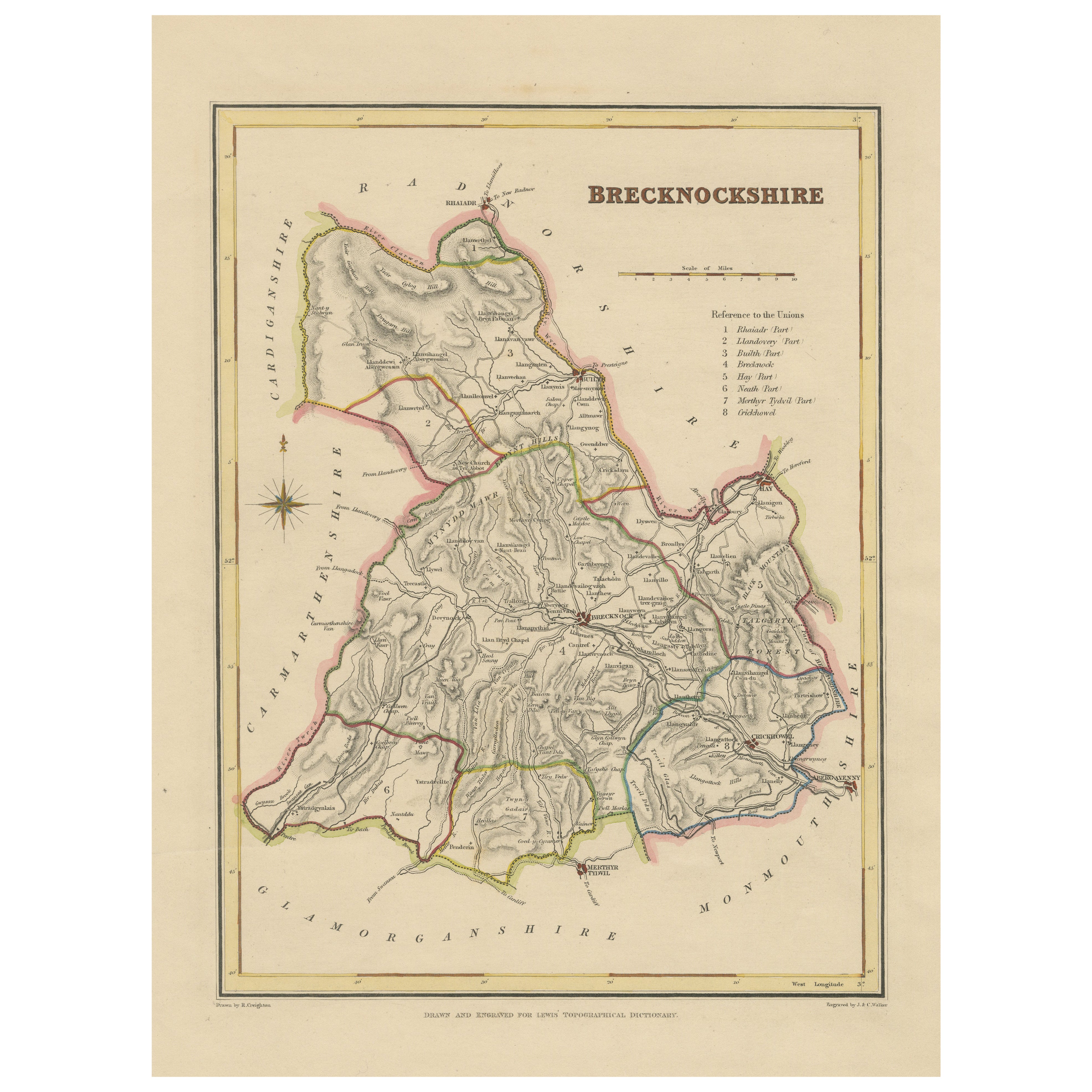
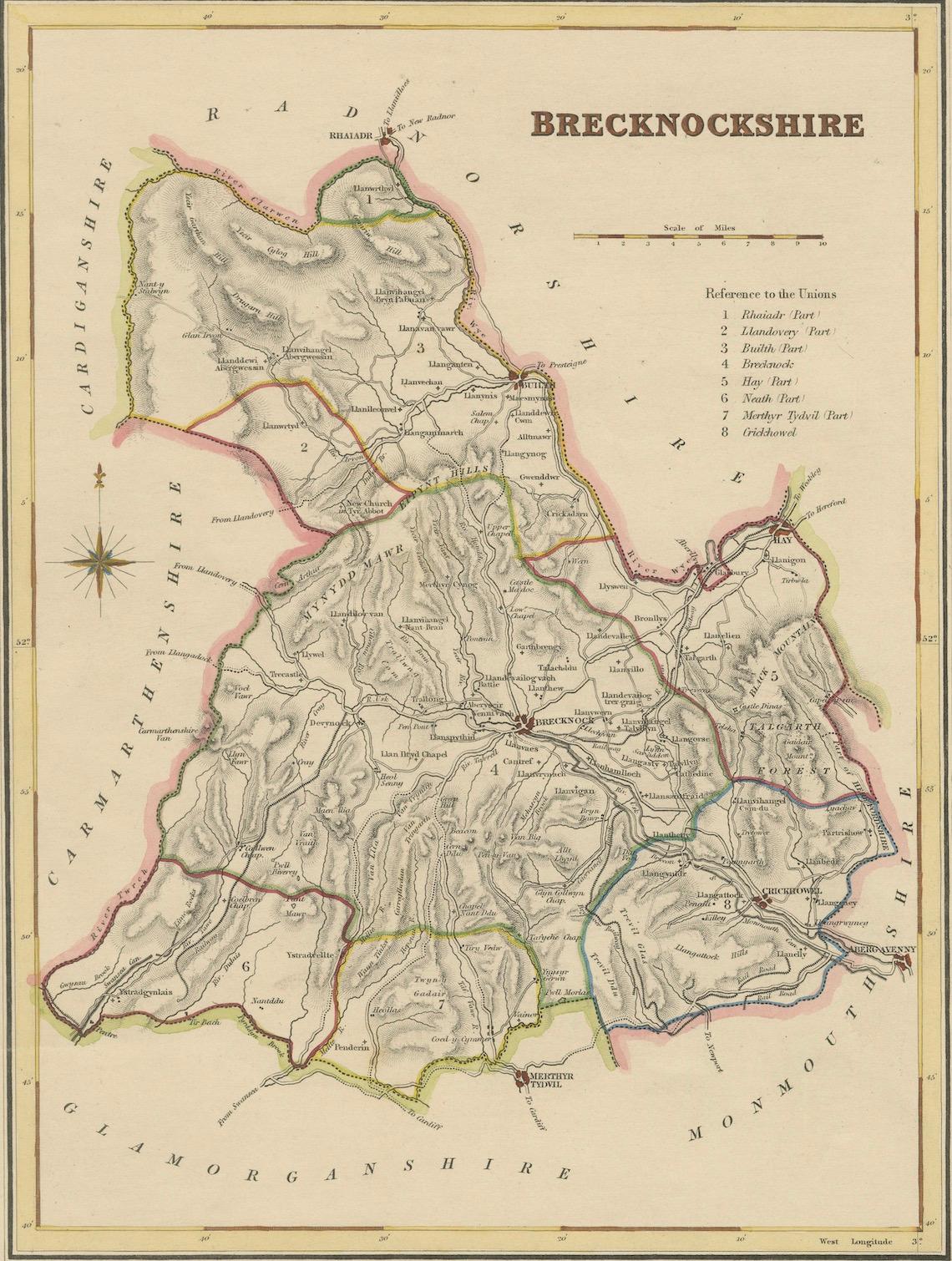
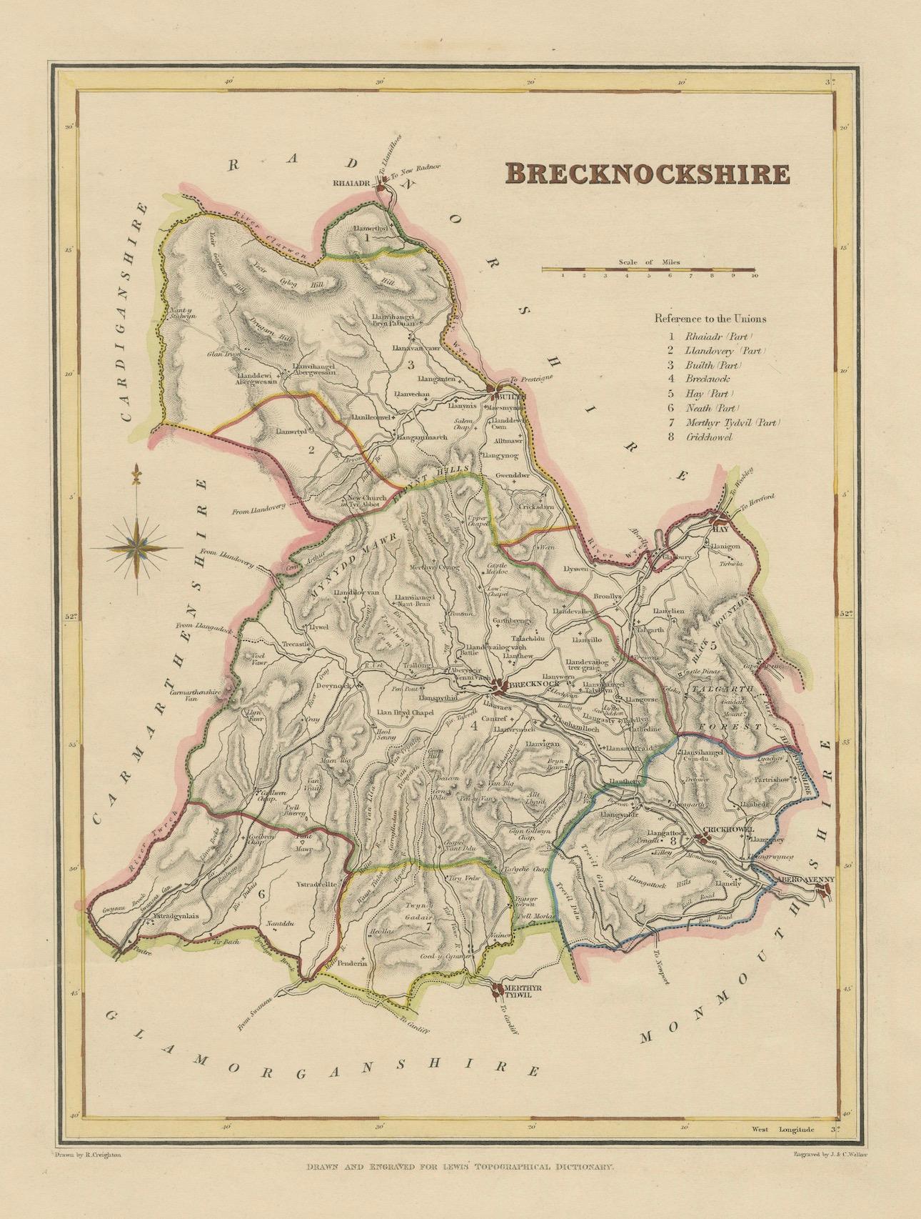
Antique map of Brecknockshire, Wales by Creighton & Walker, c.1831–1840
This antique county map depicts Brecknockshire (Breconshire) in Wales, a region known for its dramatic landscapes, historic towns, and the Brecon Beacons mountain range. The map was drawn by R. Creighton and engraved by J. & C. Walker, two prominent figures in early 19th-century British cartography, and was published for Samuel Lewis’s Topographical Dictionary of England and Wales. First issued in 1831, with subsequent editions throughout the 1830s and 1840s, these maps were designed to provide readers with accurate and accessible geographic references to accompany Lewis’s comprehensive topographical text.
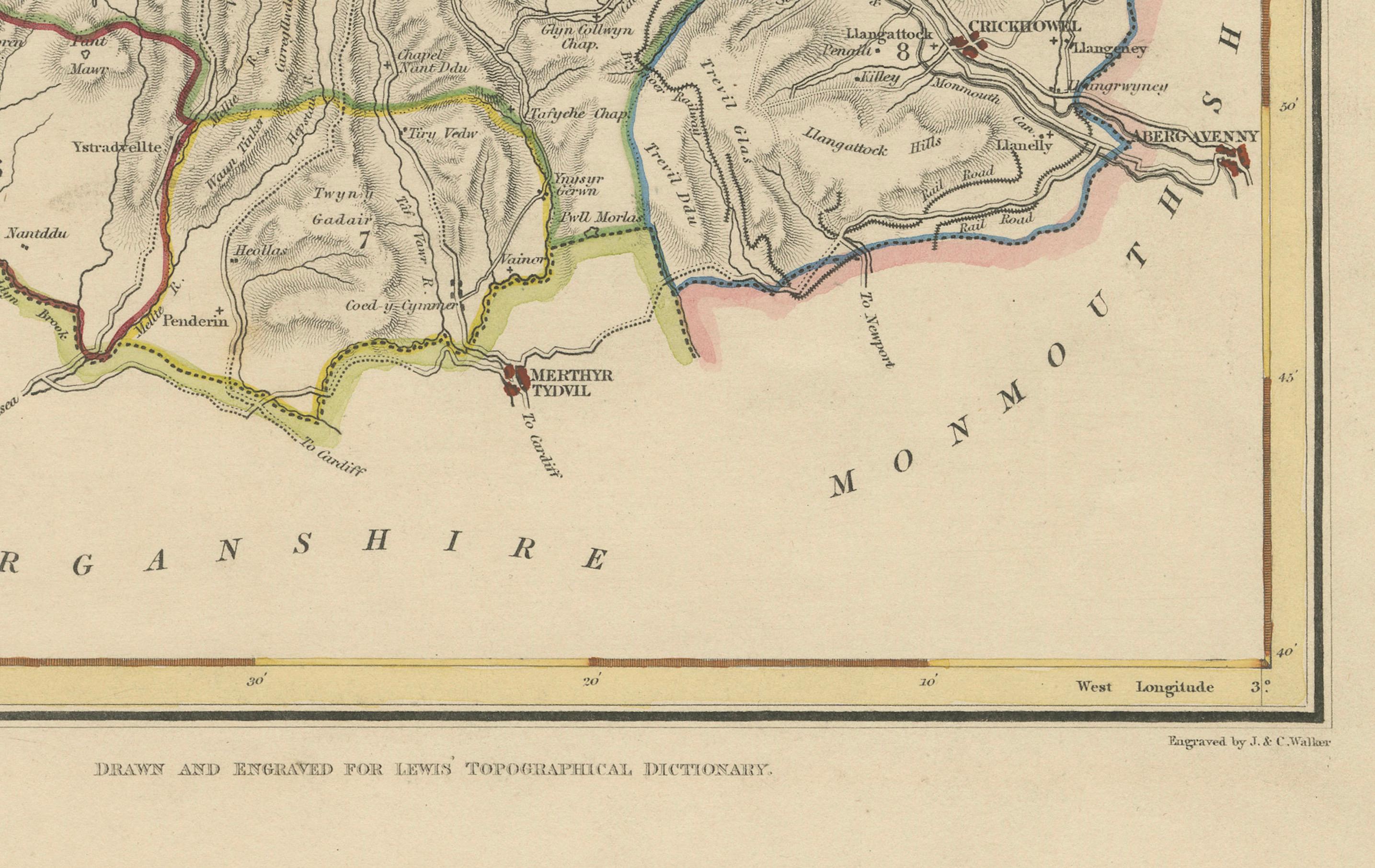
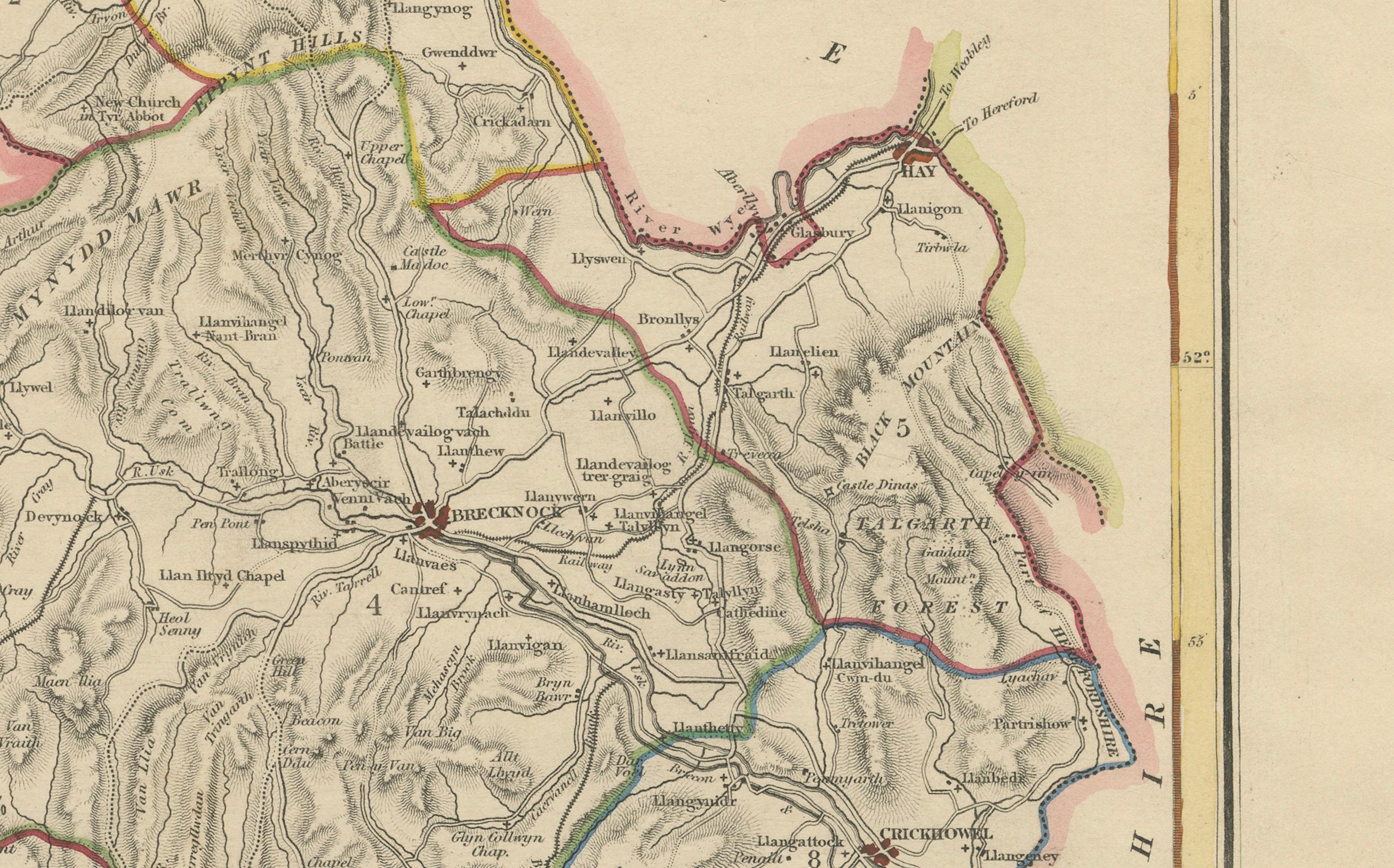
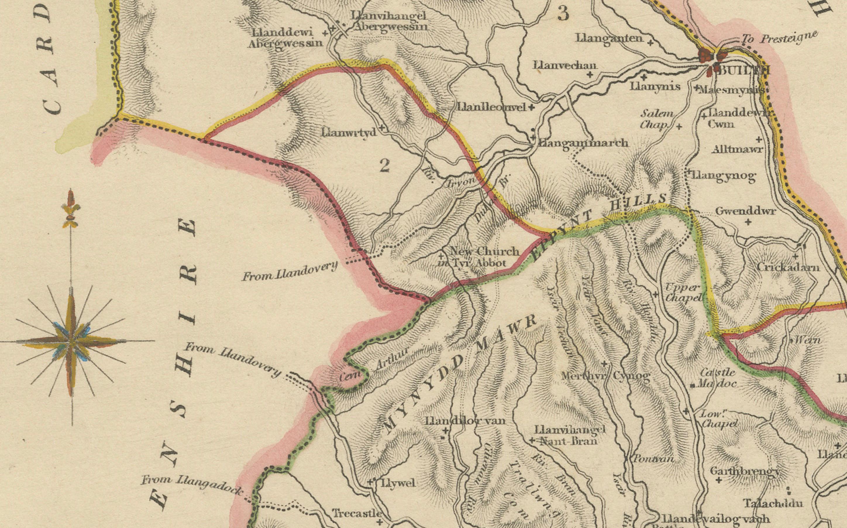
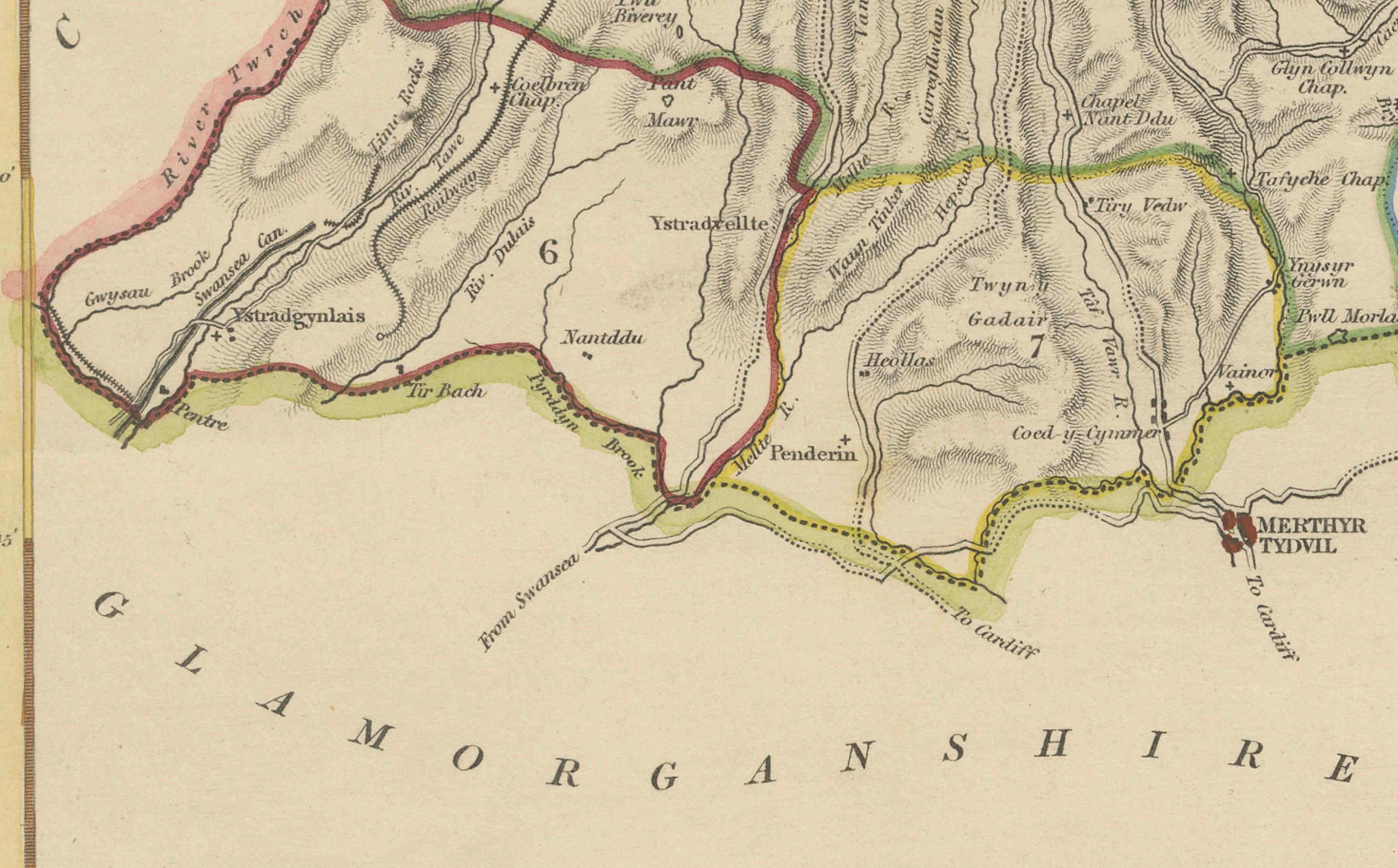
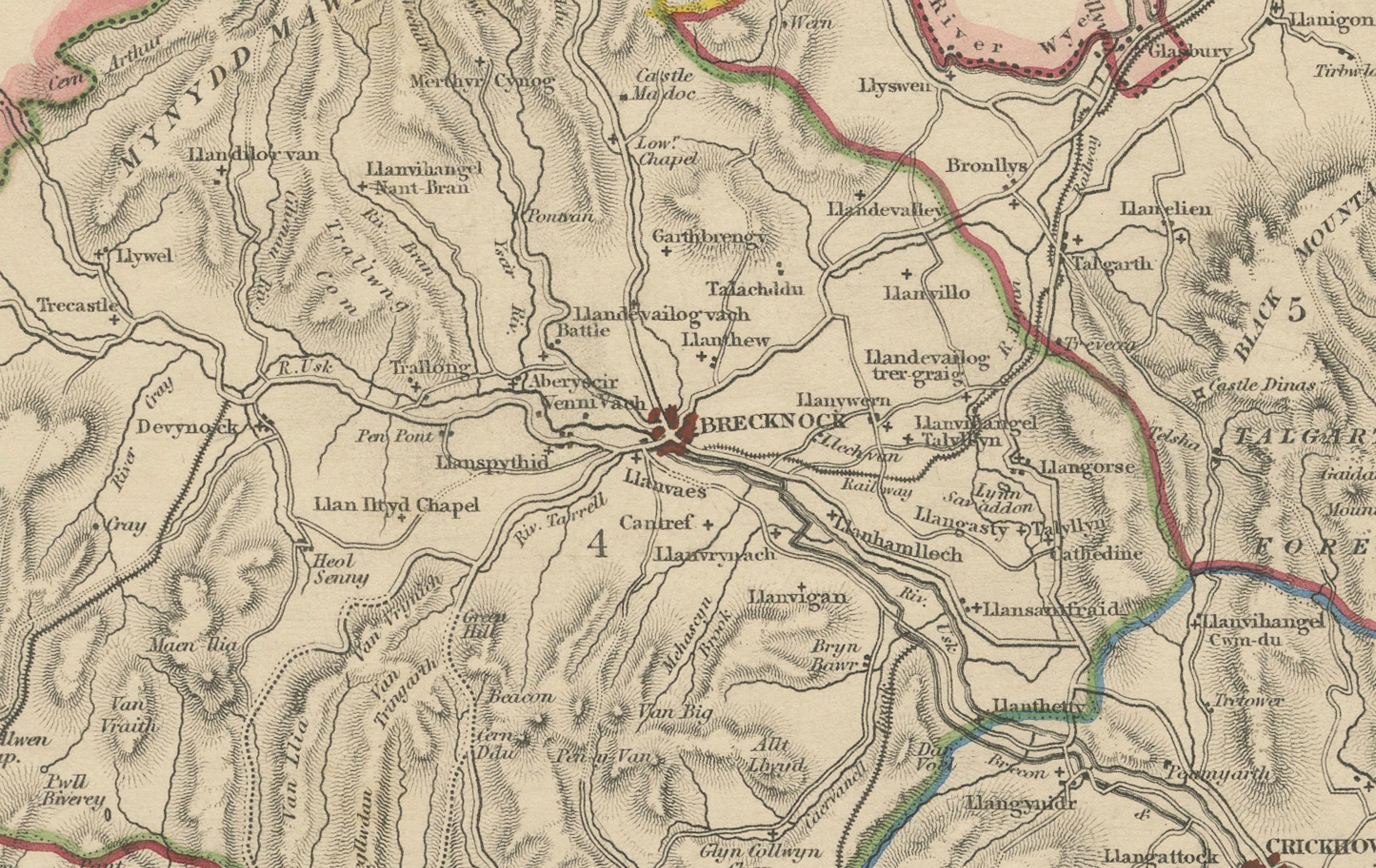
The map presents Brecknockshire in clean, precise detail. Towns and villages are clearly marked, including Brecon, Builth, Hay, Crickhowell, and Talgarth, while rivers and smaller settlements are also carefully engraved. The road network is traced across the county, linking Brecknockshire to neighboring regions such as Radnorshire, Carmarthenshire, Glamorganshire, and Monmouthshire. Relief is indicated by hachuring, giving a sense of the county’s varied terrain, with mountains and valleys dominating much of the landscape. This is particularly important for Brecknockshire, which includes some of the most striking scenery in Wales.
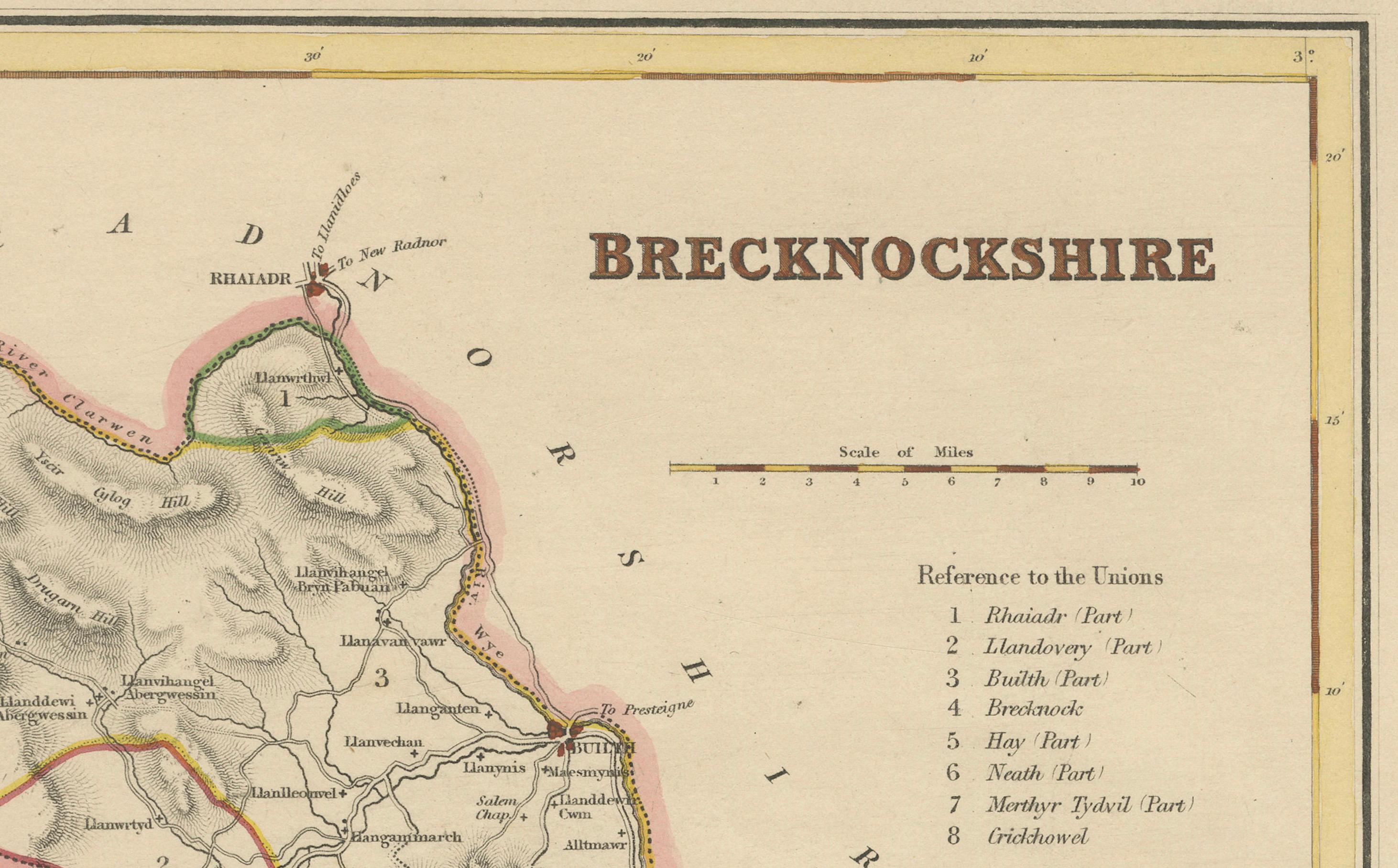
Hand-coloring has been applied to the boundaries, with each adjacent county outlined in a different color for clarity. The key at the right, titled “Reference to the Unions,” lists eight Poor Law Unions—administrative divisions that were crucial in the governance of the time. These details reflect the practical and statistical purpose of the map, making it both a decorative piece and an informative record of 19th-century administration. A compass rose at the left adds a small decorative flourish, while the neat double border frames the composition elegantly.
This map exemplifies the style of Creighton and Walker’s work for Lewis’s *Topographical Dictionary*. Unlike the more elaborate decorative county maps of the 18th century, these were conceived with clarity and accuracy in mind, suited for an audience of scholars, landowners, and educated readers of the period. Yet despite their simplicity, the maps retain a visual appeal, particularly through the careful hand-coloring of the boundaries and the crisp engraving of the landscape.
For collectors, this map offers both aesthetic and historical interest. It captures Brecknockshire in the early Victorian era, before industrial development altered the character of many Welsh counties. Today, Breconshire is celebrated for its national park and unspoiled beauty, making this map a meaningful historical connection to a region valued for its natural and cultural heritage.
Condition report: Very good condition with strong impression and bright paper. Original hand-coloring remains clear and vibrant. Minor toning at the edges consistent with age, but the image area is clean and well-preserved.
Framing tips: This map would display best in a simple dark wood or black frame with a cream or light ivory mat to highlight the hand-colored county outlines. A narrow gilt fillet could be added to enhance its classical character without overwhelming the clean design.
Technique: Engraving with original hand-coloring
Maker: R. Creighton (draughtsman), J. & C. Walker (engravers), London, c.1831–1840