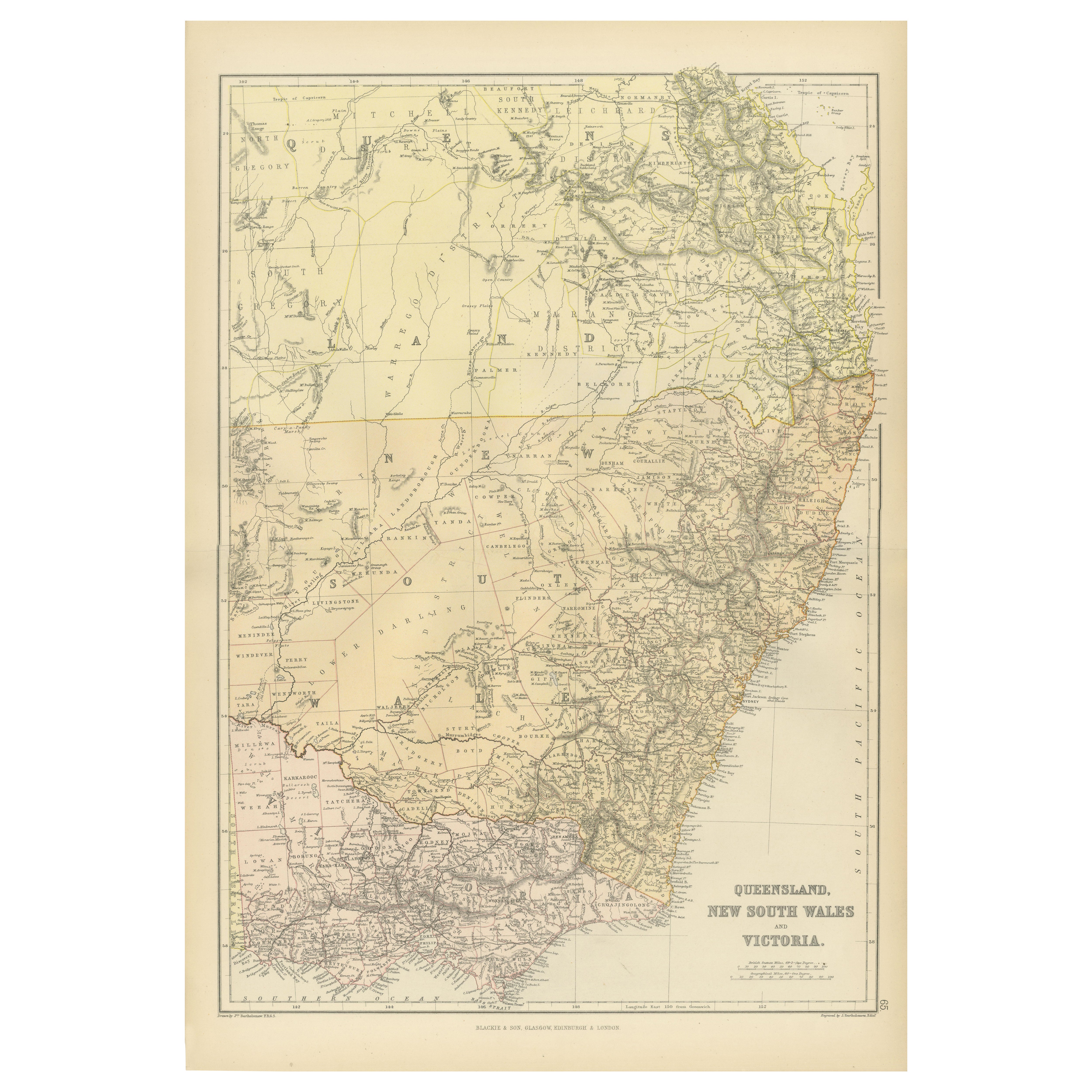
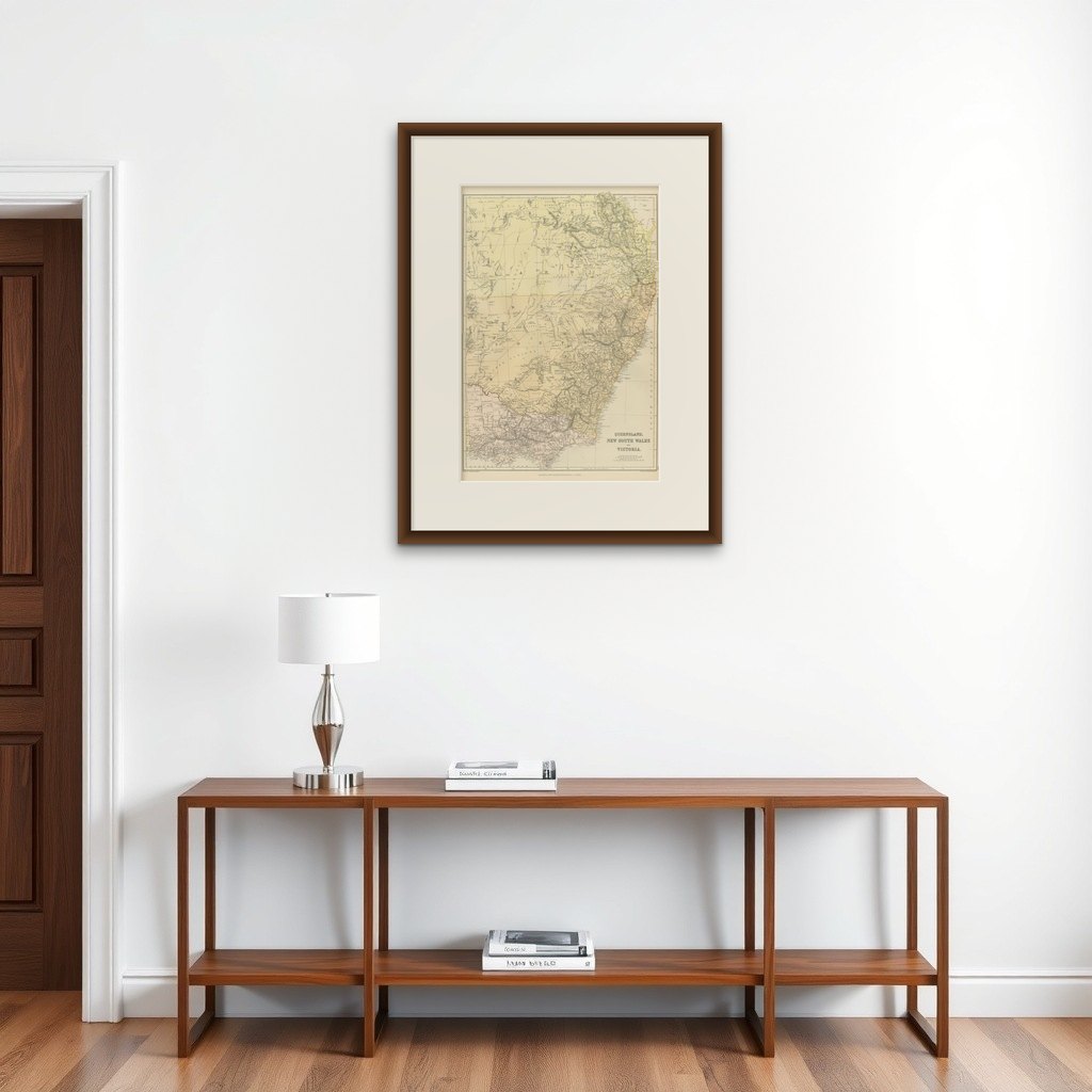
1882 Map of Queensland, New South Wales, and Victoria with Detailed Features
€ 250
Original antique · The actual sheet photographed · Certificate of authenticity on request · Sold unframed · Worldwide shipping from € 15 (rates)
Date
1882
Sheet size
57 × 39 cm (22.4 × 15.4 in)
Condition
Good
Reference
BG-13601-2-74
What the condition grades mean
Excellent
Bright and clean, with no faults worth mentioning.
Very good
Only light signs of age, such as faint toning.
Good
Normal signs of age for a sheet of this period: toning, some foxing, small marks or neat old repairs.
Fair
Clear faults such as staining, tears or repairs, priced to match.
Every fault we see is written in the condition note, and the whole sheet is shown uncropped in the photos.
Condition
Condition report: The map is in good condition with minimal edge wear. Slight toning and occasional spotting are present, consistent with its age. The engraving remains sharp, and the colors are well-preserved. Fold line in middle, as issued.
About this sheet
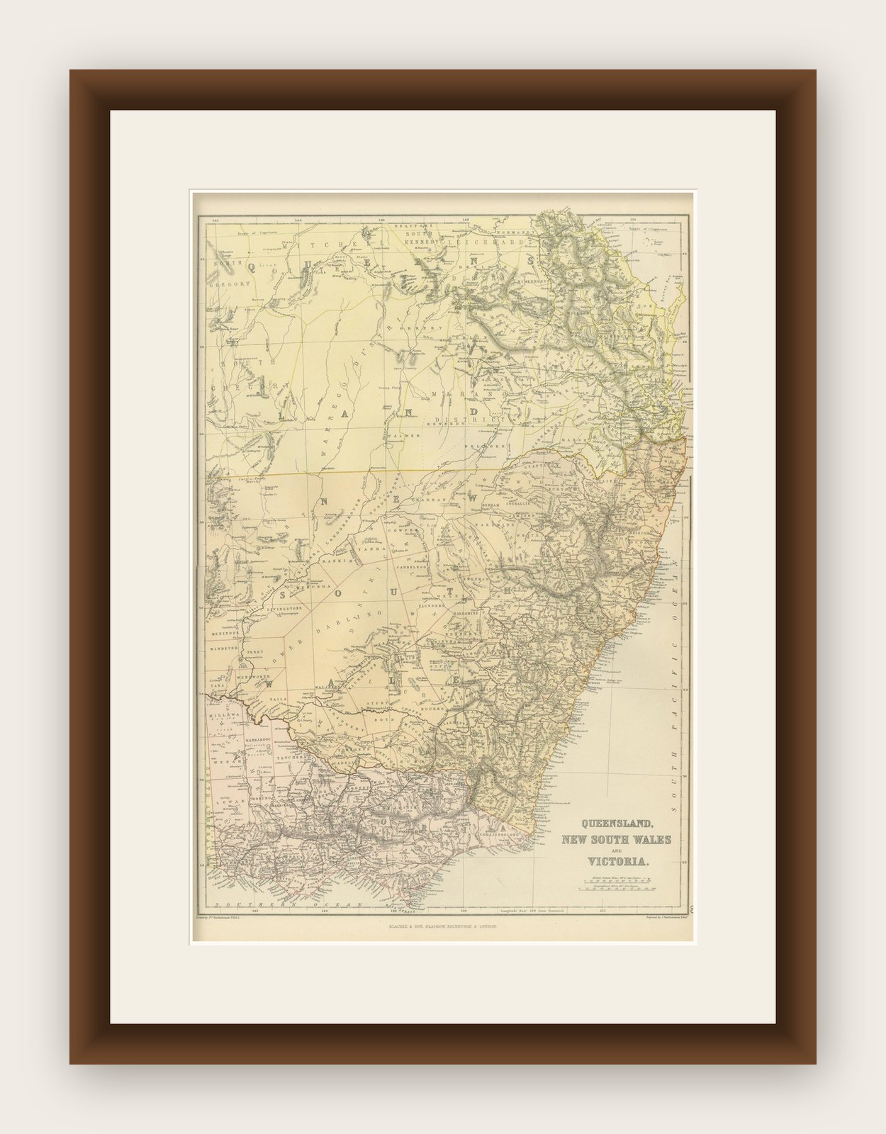
This 1882 map of Queensland, New South Wales, and Victoria, published by Blackie and Son as part of the 'Comprehensive Atlas and Geography of the World,' provides a detailed depiction of Australia's southeastern regions. It captures the geographical and political divisions of the time, showcasing the states' boundaries, major cities, towns, and transportation routes. The map highlights Queensland's expansive northern territories, the populous coastal areas of New South Wales, and the growing infrastructure in Victoria.
Topographical features are rendered with remarkable detail, including mountain ranges, rivers, and deserts. The Great Dividing Range is prominently displayed, stretching along the eastern coastline, while significant rivers such as the Darling and Murray are also included. The intricate network of settlements and transport routes reflects the rapid development of the region during the late 19th century. The map's soft pastel coloring is used to differentiate the territories, enhancing its aesthetic appeal while maintaining clarity.
Condition report: The map is in good condition, with minor signs of age-related toning and light spotting. The engraving remains sharp, and the coloring is well-preserved, with no visible tears or repairs.
Framing tips: Choose a classic wooden frame in a natural or antique finish, such as walnut or dark oak, to complement the historical character of the map. Use a double mat with an inner cream or off-white color and an outer mat in light green or beige to enhance the map's subtle tones. Opt for UV-protective, anti-reflective glass to preserve the map’s condition and ensure its longevity as a display piece.