Antique Maps of West Asia & the Holy Land
320 original sheets
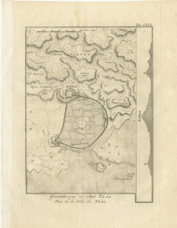
Antique Plan of the City of Taiz in Yemen, Niebuhr Engraving, 1776
1776 · € 210
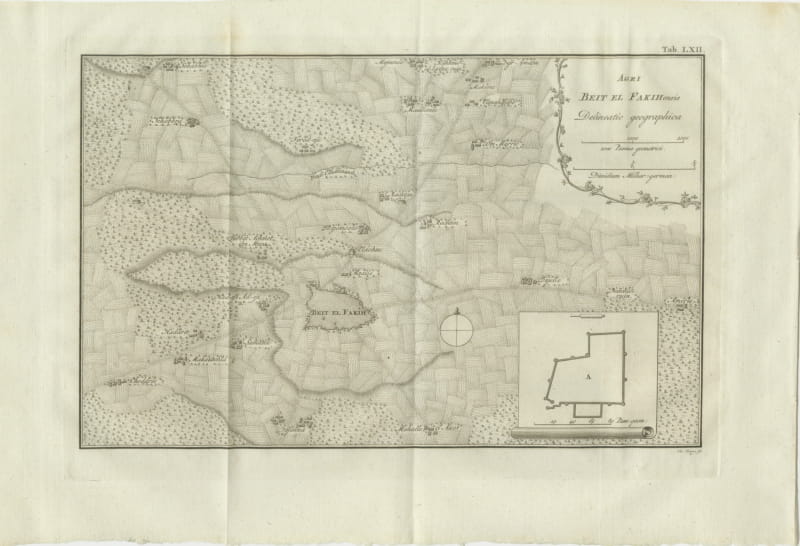
Antique Map of the District of Beit el Fakih, Niebuhr, 1776
1776 · € 280
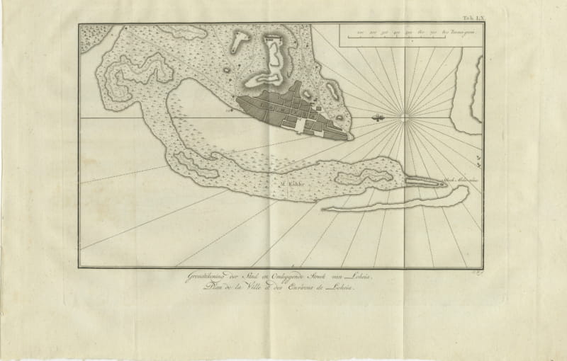
Antique Plan of Loheia and Its Surroundings, Niebuhr, 1776
1776 · € 180
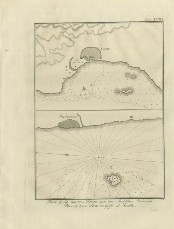
Plans of Two Red Sea Ports, Antique Niebuhr Chart, 1776
1776 · € 195
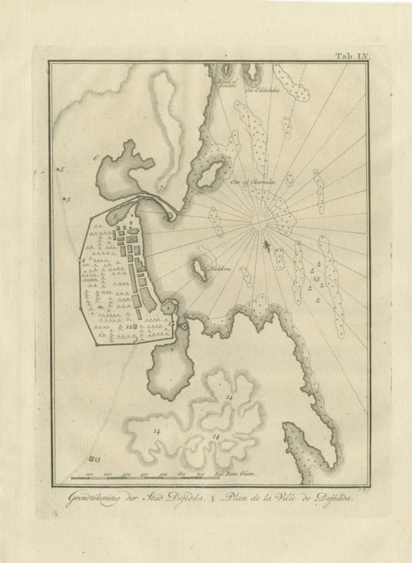
Antique Plan of the City of Jeddah, Niebuhr Copper Engraving, 1776
1776 · € 310
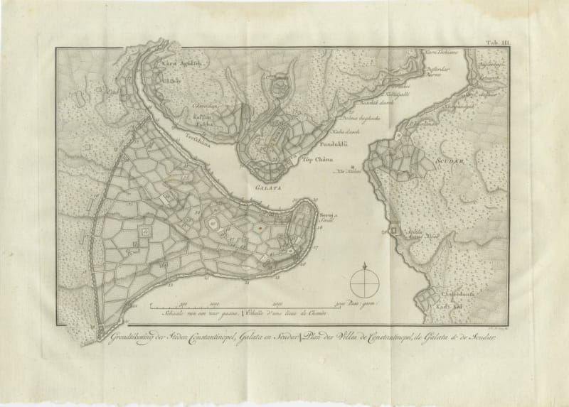
Antique Plan of Constantinople, Galata and Scutari, Niebuhr, 1776
1776 · € 380
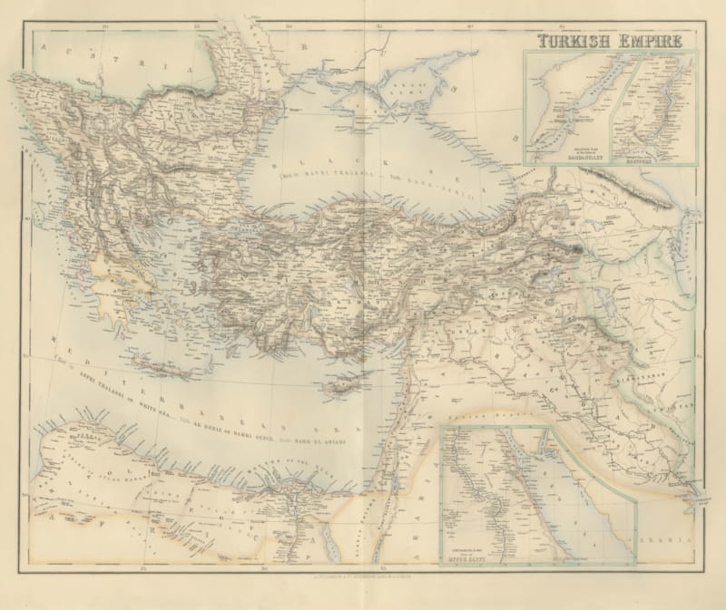
Antique Map of the Turkish Empire with the Dardanelles and Bosporus, circa 1860
circa 1860 · € 545
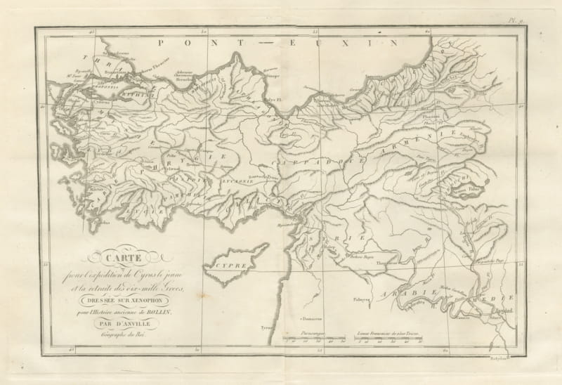
March of Cyrus and Retreat of the Ten Thousand after Xenophon, 1818
1818 · € 245
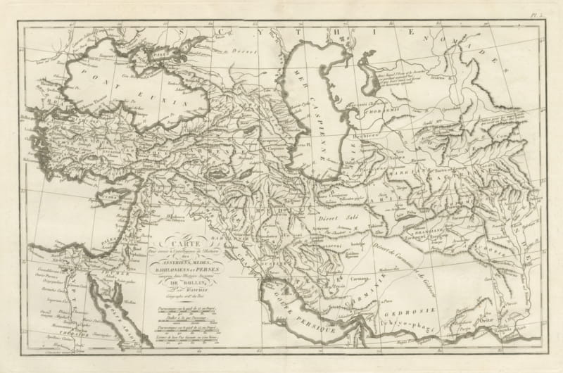
Assyria, Media, Babylonia and Persia, d'Anville Rollin Atlas Map, 1818
1818 · € 345
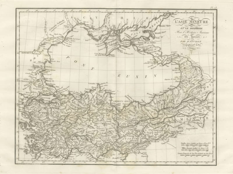
Asia Minor and the Black Sea with the Crimea, d'Anville for Rollin, 1818
1818 · € 335
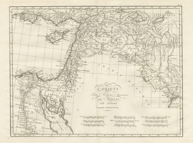
The Ancient Near East from Egypt to Babylon, d'Anville L'Orient, 1818
1818 · € 295
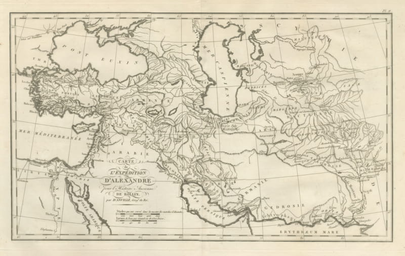
Alexander the Great's Expedition to the Indus, d'Anville Map, 1818
1818 · € 425
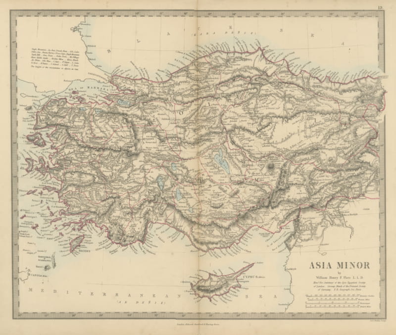
Antique Map of Asia Minor and Cyprus by William Henry F. Plate, 1858
1858 · € 210
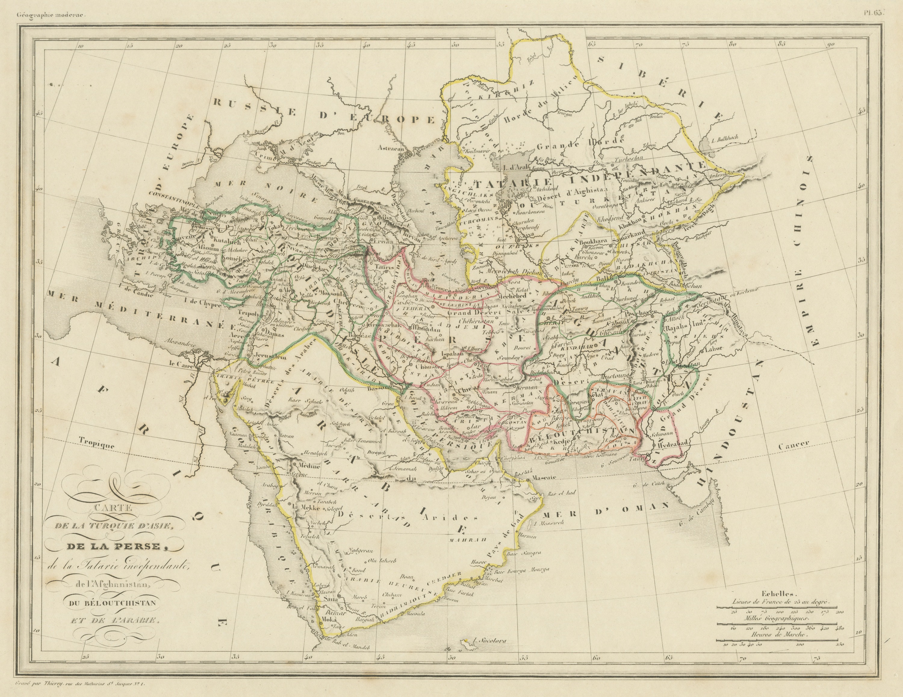
Antique Map of Turkey in Asia, Persia and Afghanistan by Malte Brun, c. 1830
circa 1830-1845 · € 295
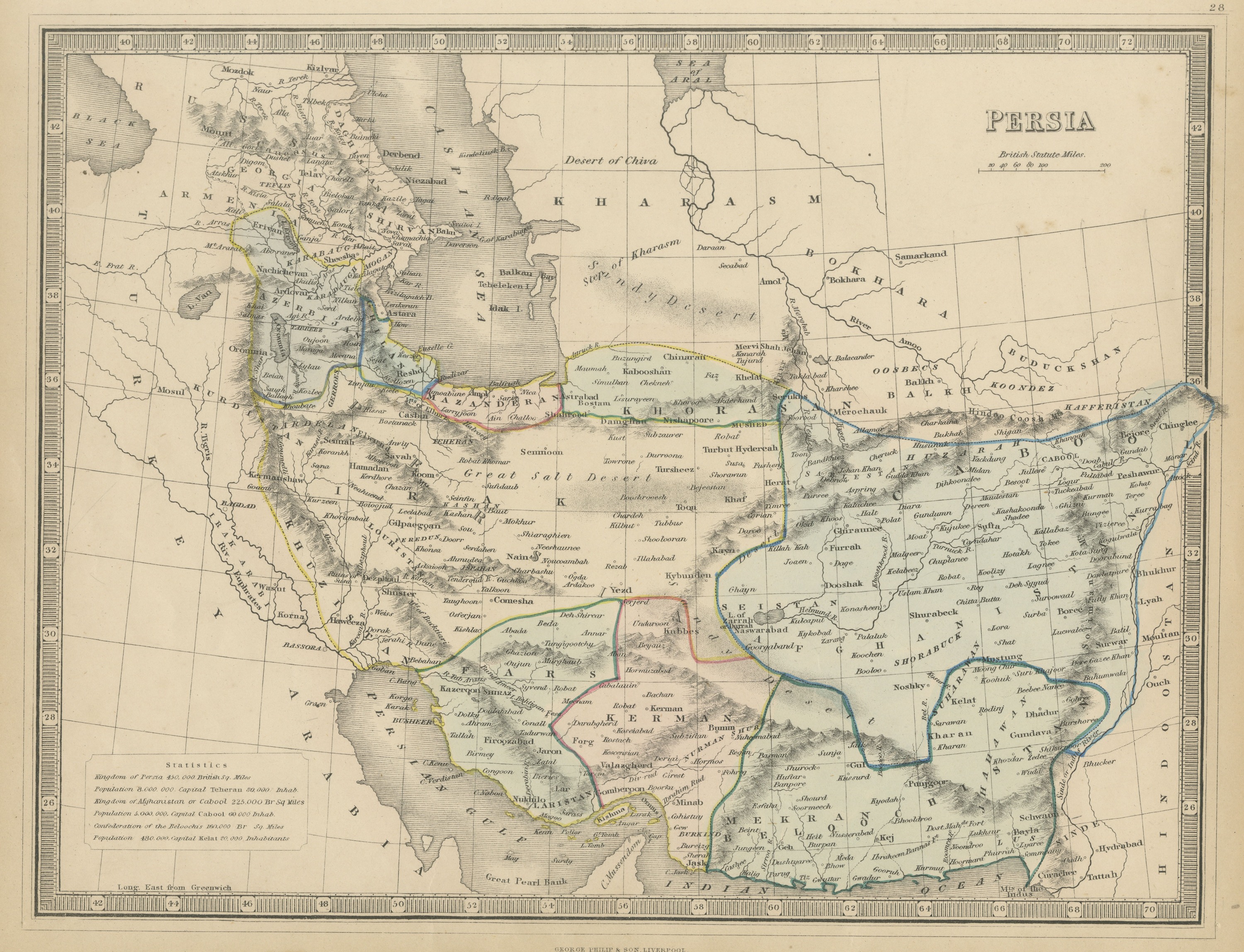
Antique Map of Persia and Afghanistan with Statistics, Philip, circa 1856
circa 1856 · € 245
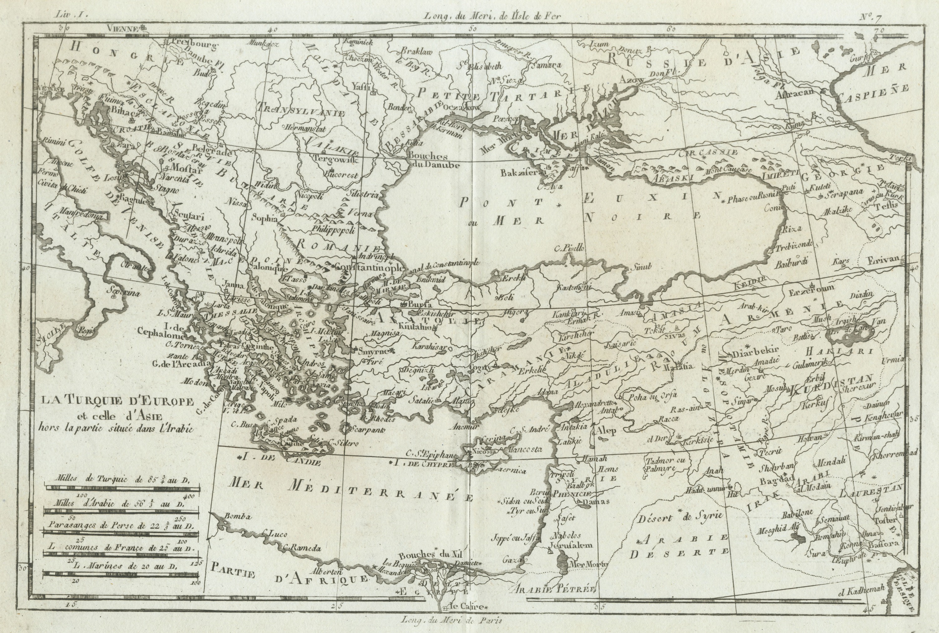
Antique Map of the Ottoman Empire in Europe and Asia by Bonne, circa 1780
circa 1780 · € 335
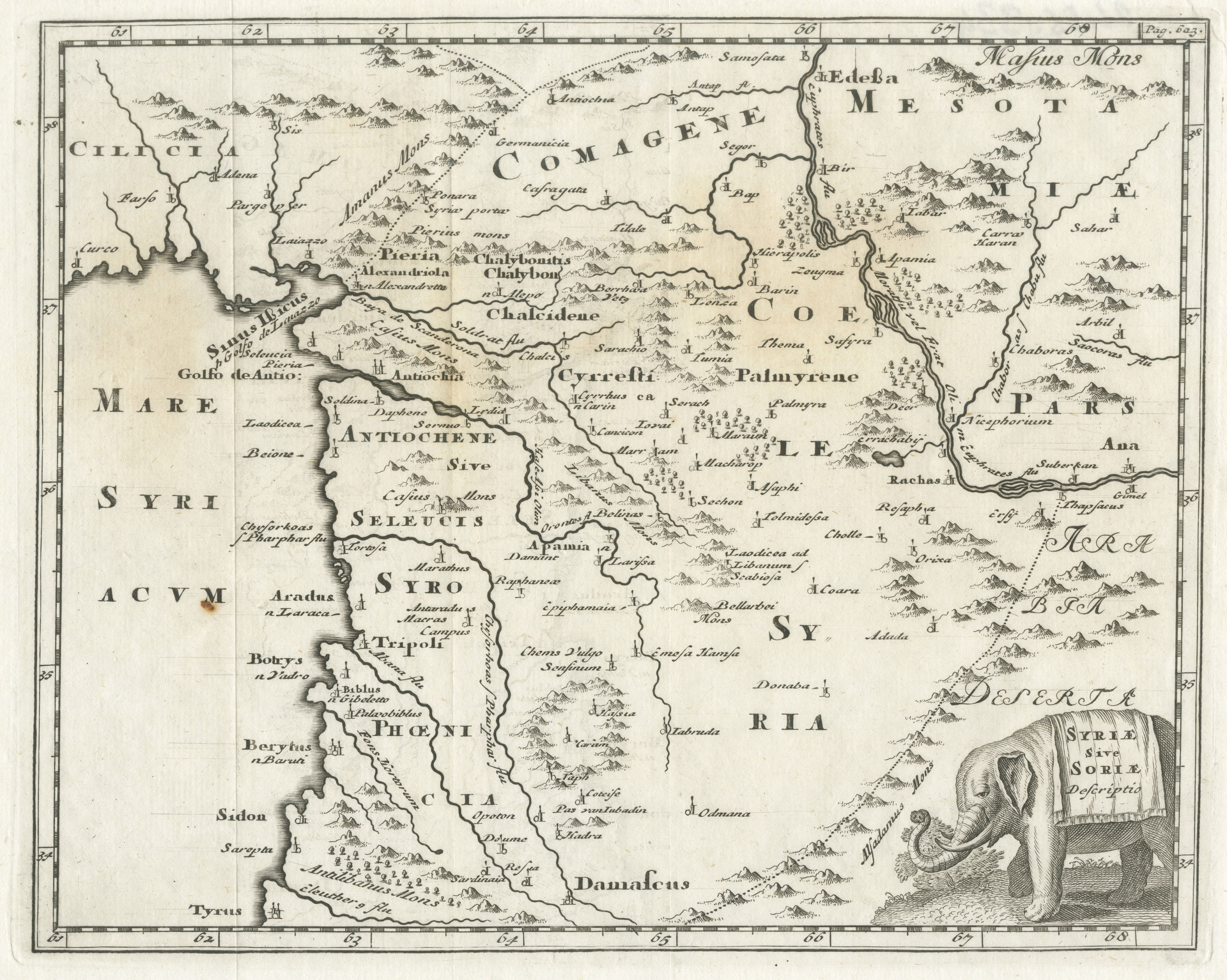
Antique Map of Ancient Syria with Elephant Cartouche by Cluver, circa 1697
circa 1697 · € 225
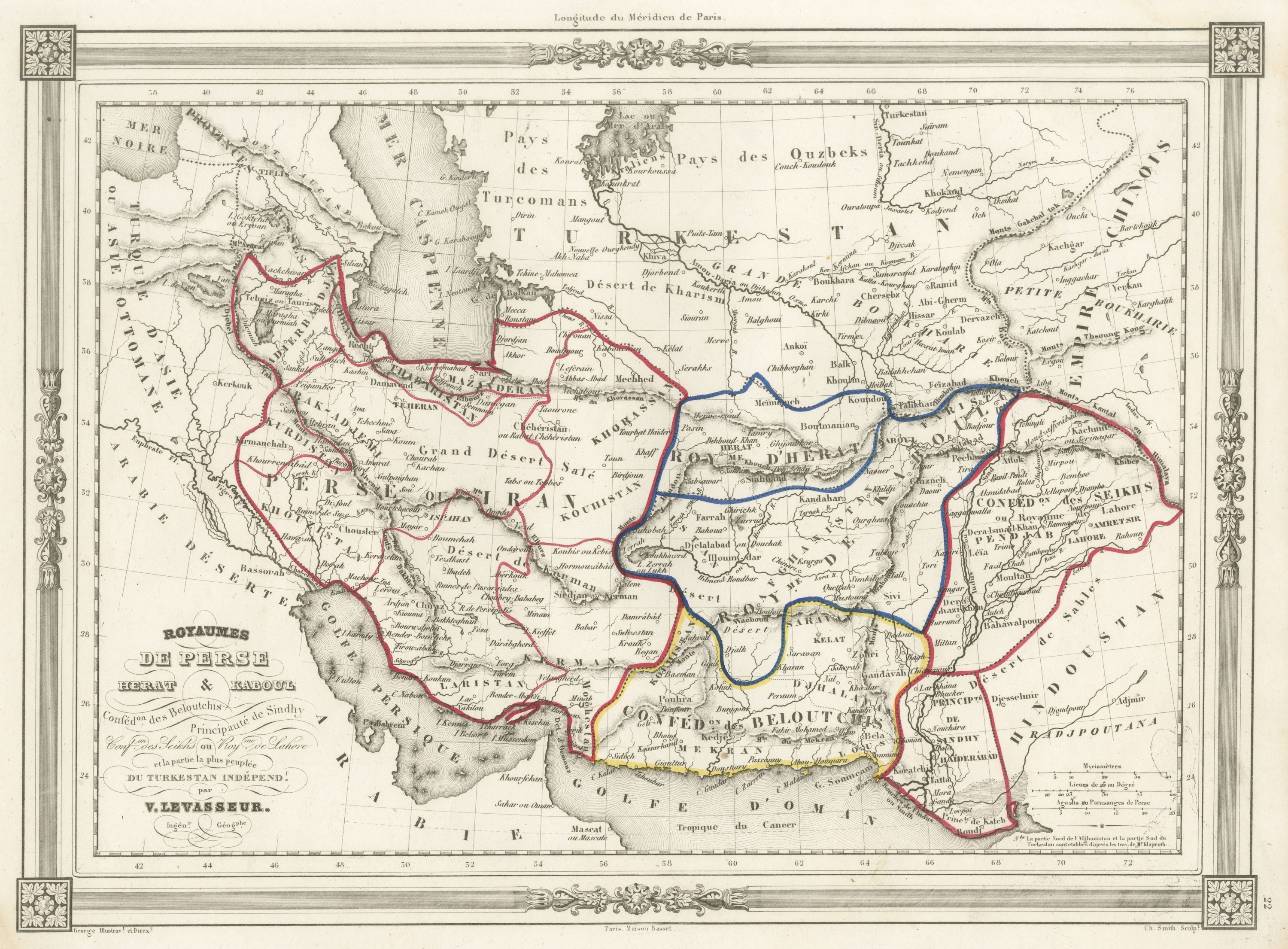
Antique Map of Persia, Herat, Kabul and Baluchistan by Levasseur, circa 1846
circa 1846 · € 395
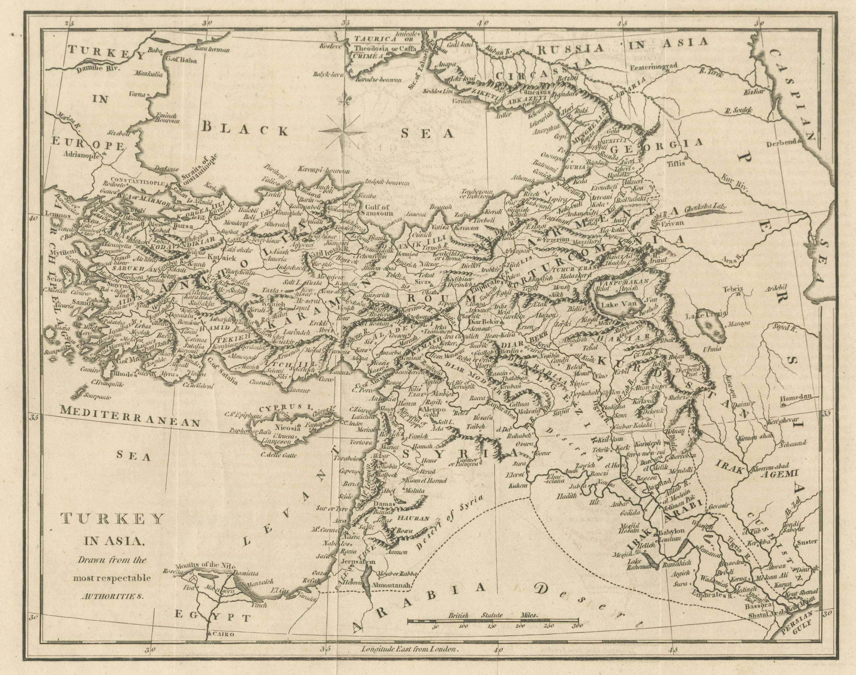
Antique Map of Turkey in Asia, Ottoman Anatolia, Syria and Iraq, circa 1795
circa 1794-1800 · € 265
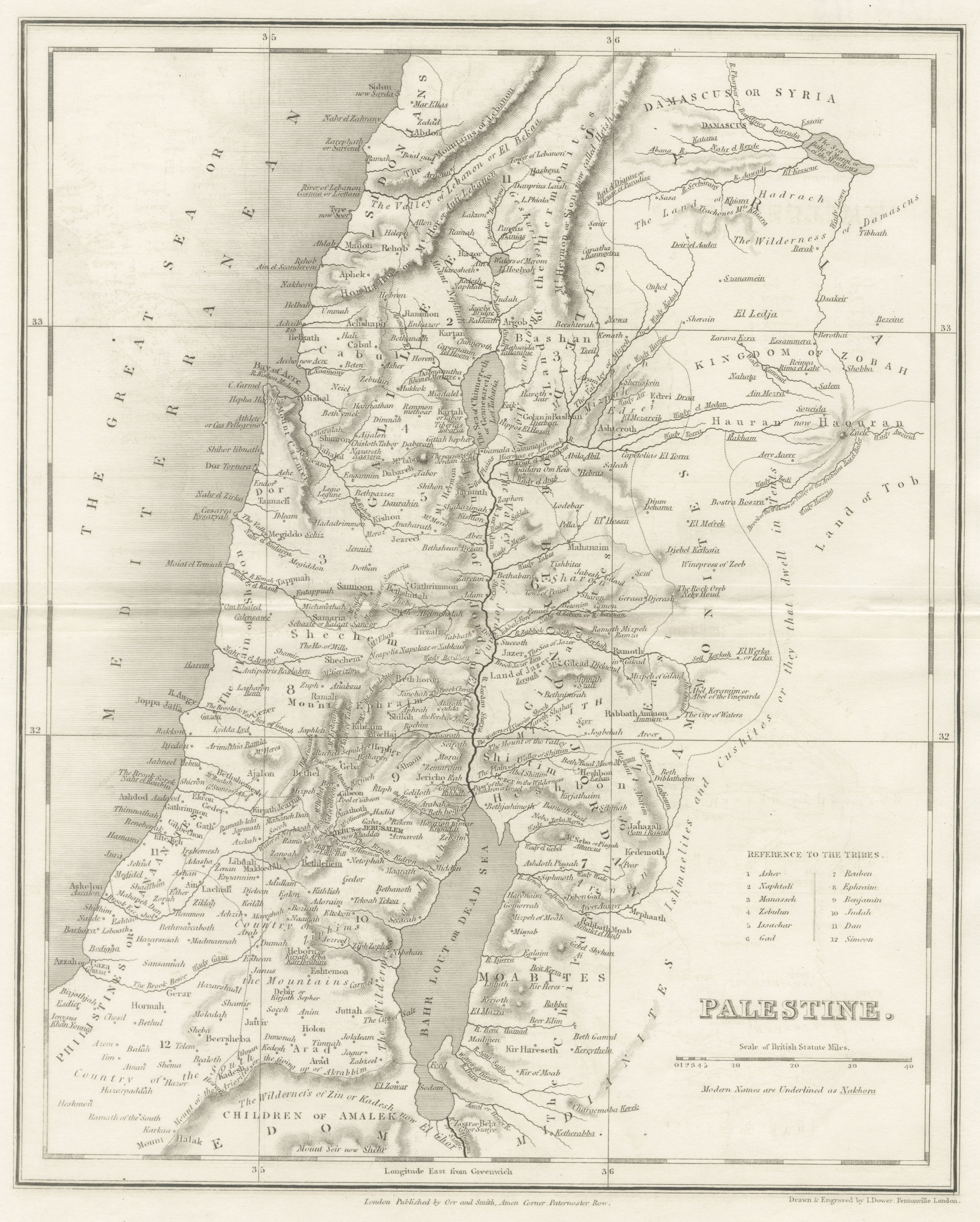
Antique Map of Palestine with the Twelve Tribes by Dower, circa 1835
circa 1835 · € 245
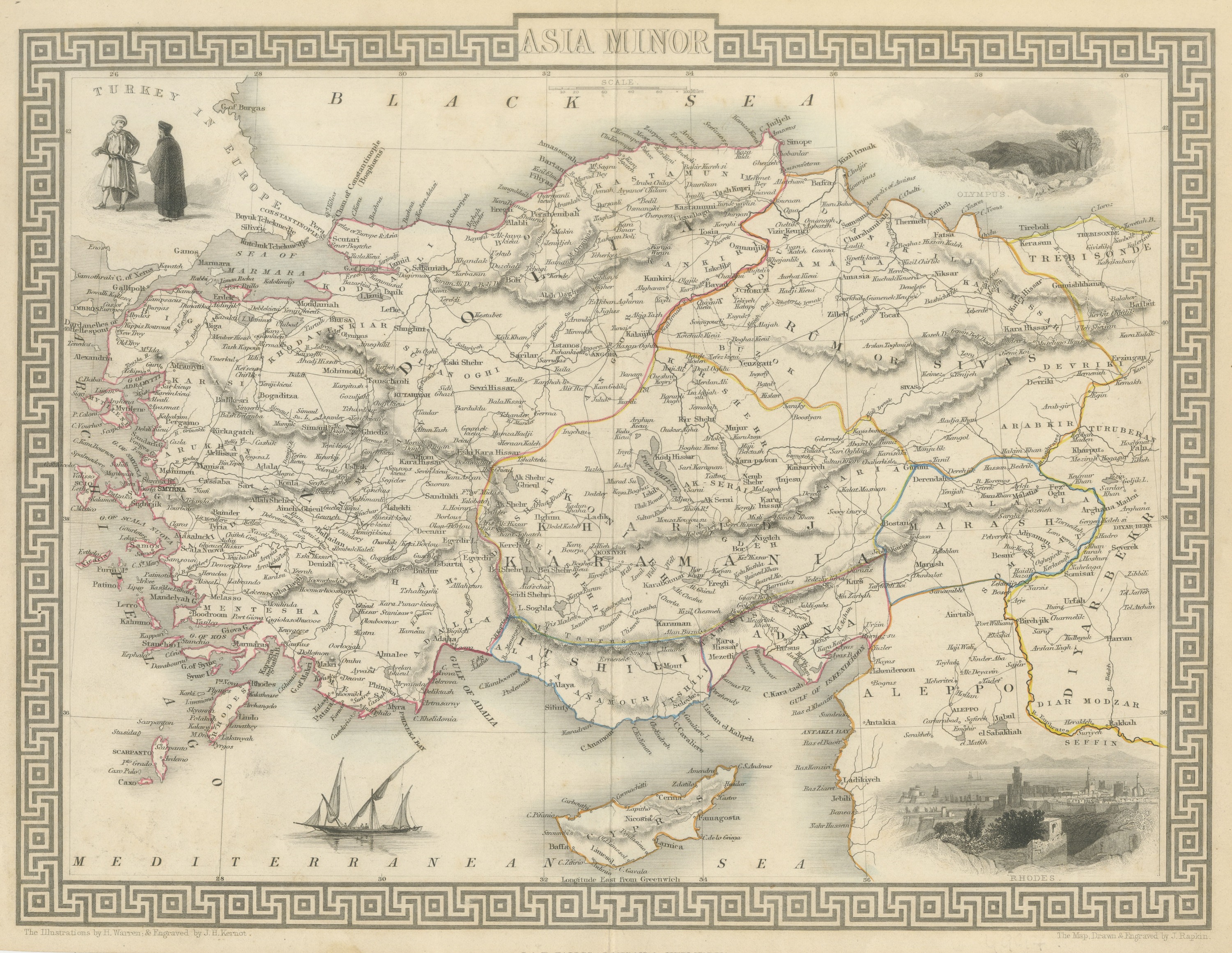
Antique Asia Minor Map by Tallis with Rhodes and Olympus Vignettes, circa 1851
circa 1851 · € 595
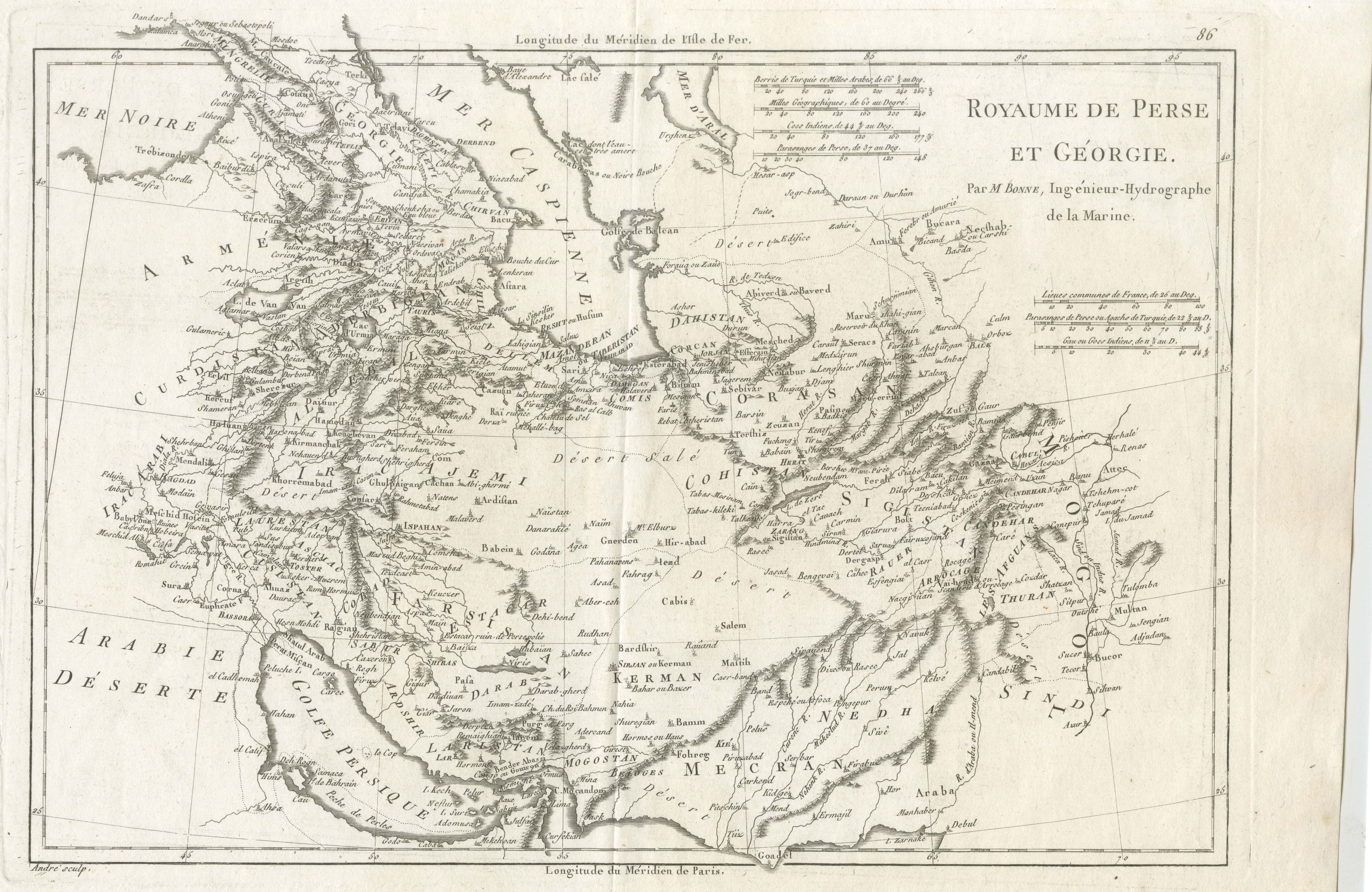
Antique Map of Persia and Georgia by Bonne, Royaume de Perse, circa 1787
circa 1780-1790 · € 385
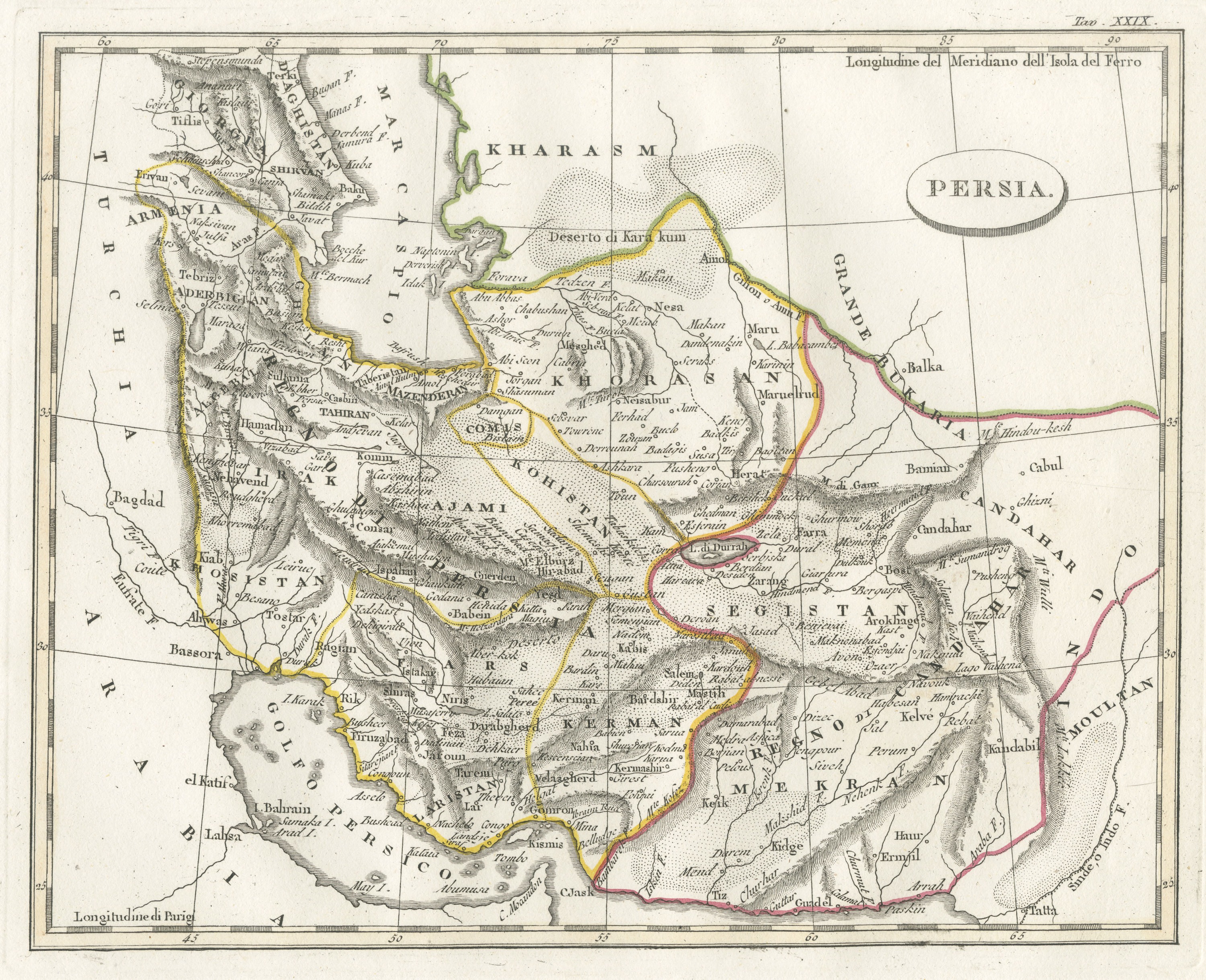
Antique Italian Map of Persia with Khorasan and the Persian Gulf, circa 1820
circa 1810-1830 · € 340
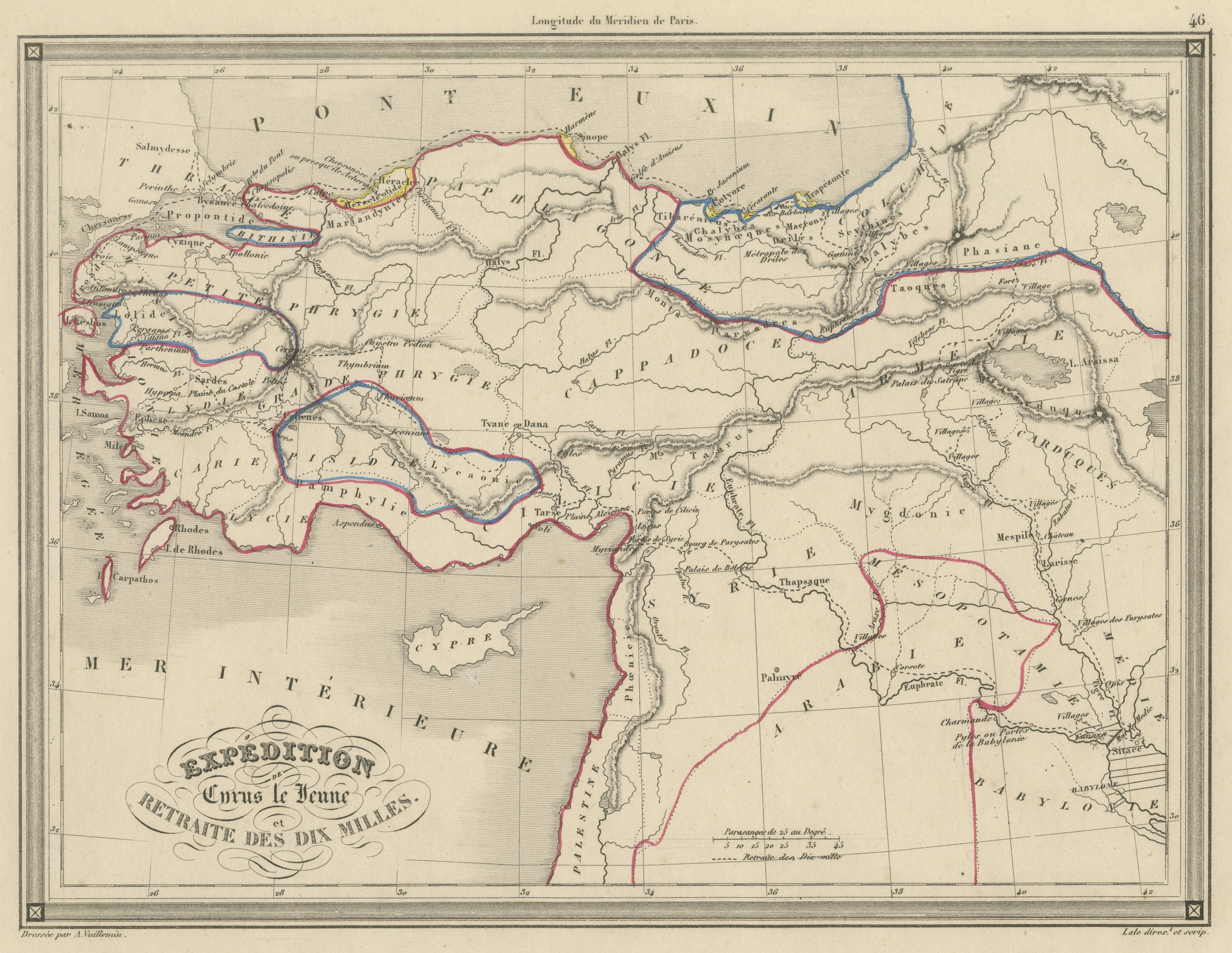
Antique Map of the March of the Ten Thousand, Xenophon Anabasis, circa 1845
circa 1845-1850 · € 225
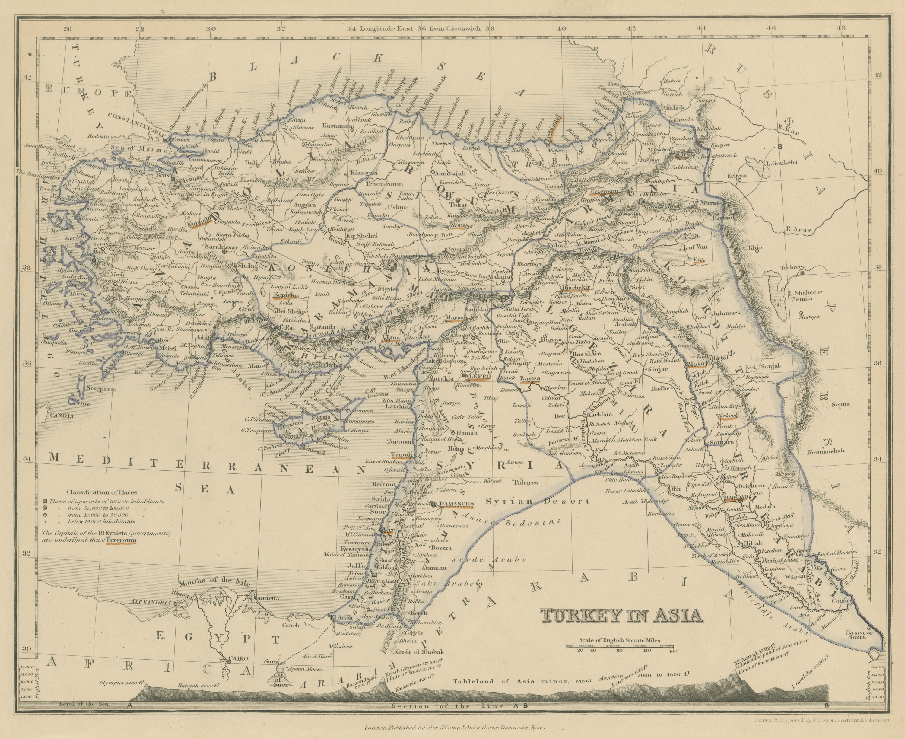
Antique Map of Turkey in Asia with Tableland Profile by Dower, circa 1845
circa 1845 · € 225
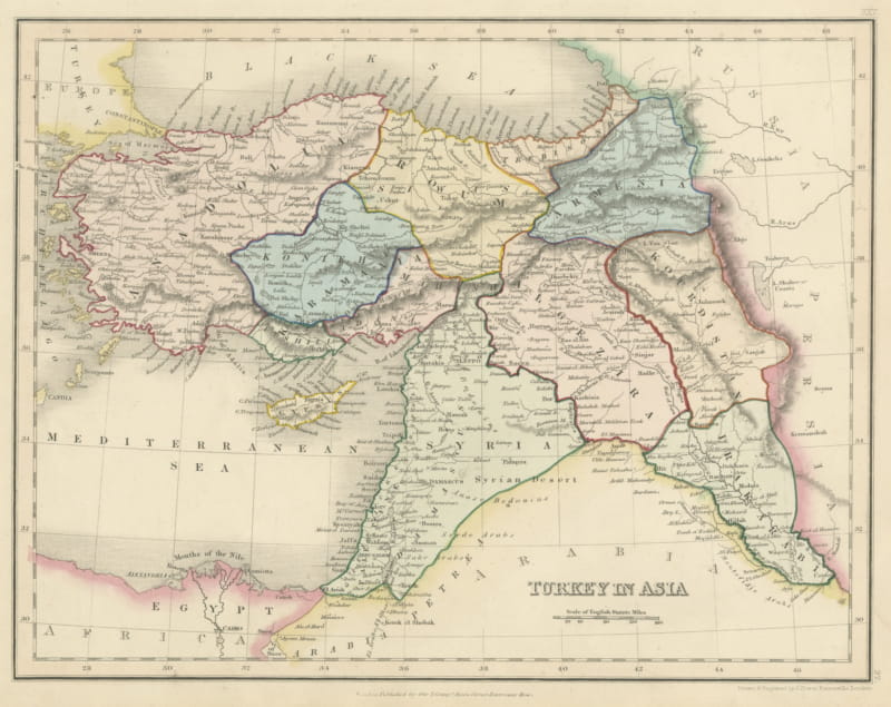
Antique Map of Turkey in Asia by Dower, Anatolia, Syria and Iraq, circa 1845
circa 1845 · € 275

Antique Map of Turkey in Asia by Vuillemin, Anatolia and Mesopotamia, circa 1845
circa 1845-1850 · € 225
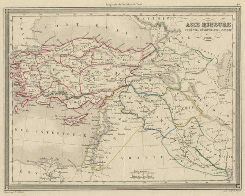
Antique Map of Asia Minor, Armenia, Mesopotamia, Assyria and Syria, circa 1845
circa 1845-1850 · € 215
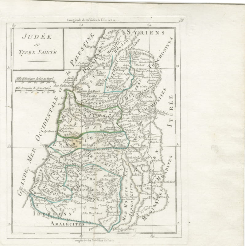
Antique Map of Judaea or the Holy Land with the Twelve Tribes, circa 1800
circa 1800-1806 · € 295

Antique New Testament Map with Plan of Jerusalem after Bonne, circa 1770
circa 1762-1780 · € 450

Antique Map of Turkey in Asia, Armenia and Mesopotamia, circa 1760
circa 1750-1770 · € 195
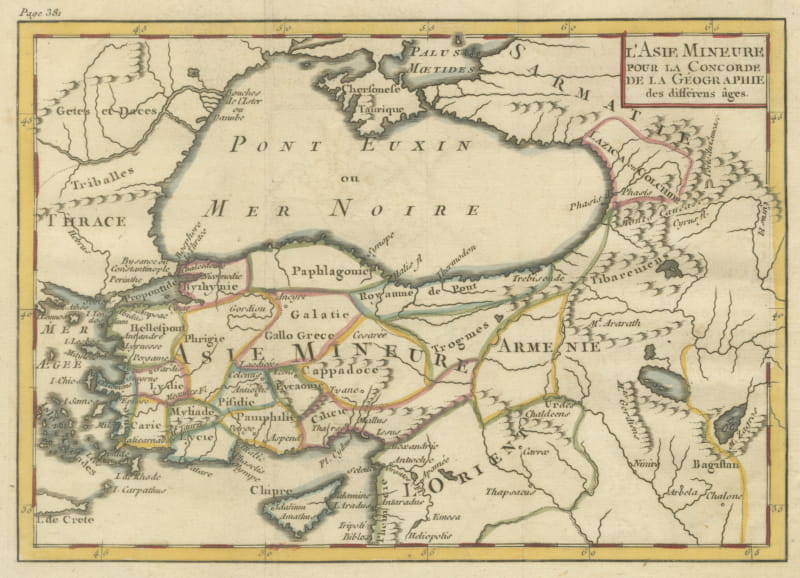
Antique Asia Minor Map with Classical Regions by Pluche, Black Sea, circa 1765
circa 1765 · € 245
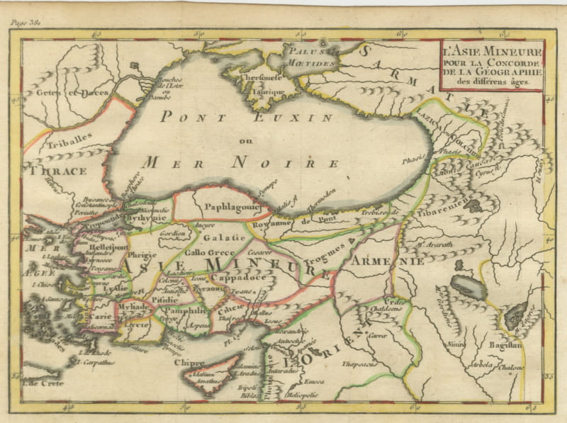
Antique Map of Asia Minor by Pluche, Concorde de la Geographie, circa 1765
circa 1765 · € 245
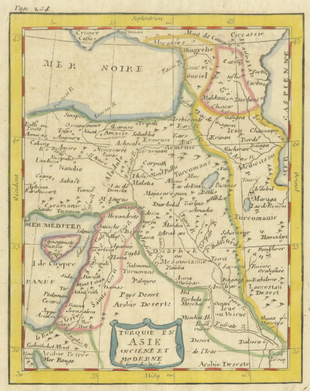
Antique Map of Turkey in Asia with Blue Draped Cartouche, circa 1760
circa 1750-1770 · € 240
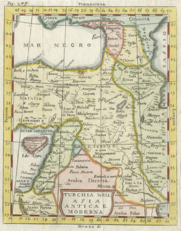
Antique Italian Map of Turkey in Asia by Buffier, Turchia nell Asia circa 1780
circa 1760-1790 · € 195

Antique Turkey in Asia Map with Cyprus and the Holy Land, circa 1760
circa 1750-1770 · € 195
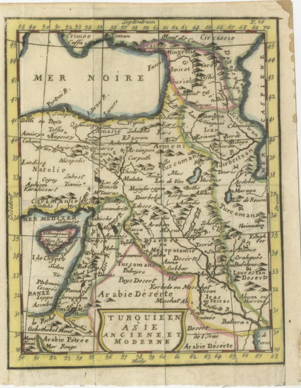
Antique Map of Turkey in Asia, Ancient and Modern, Pocket Map circa 1760
circa 1750-1770 · € 230

Antique Map of Western Asia from the Mediterranean to the Indus, circa 1870
circa 1870-1890 · € 175

Antique Map of Turkey in Asia, Persia and Afghanistan by Hachette, c. 1860
circa 1860-1880 · € 175
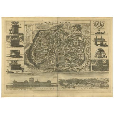
Antique Bible Plan of Ancient Jerusalem, 1743
1743 · € 1 142
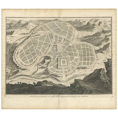
Antique Map of the Ancient City of Jerusalem by A. Calmet, 1725
1725 · € 360
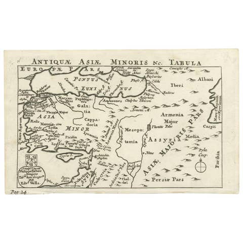
Antique Map of Asia Minor by Philippo Talbor, Edward Wells, Circa 1718
1718 · € 240
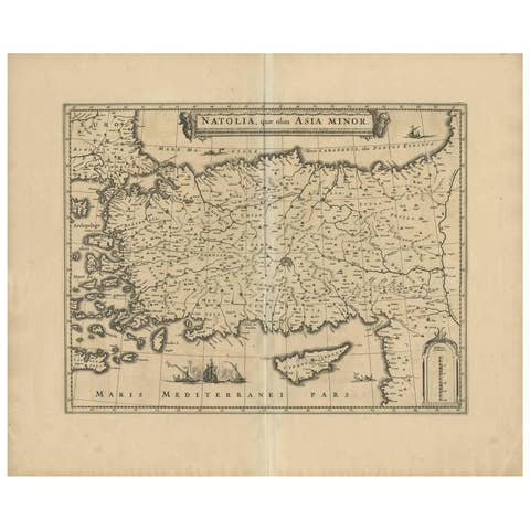
Antique Map of Asia Minor (Natolia) – Janssonius, circa 1650
1650 · € 579
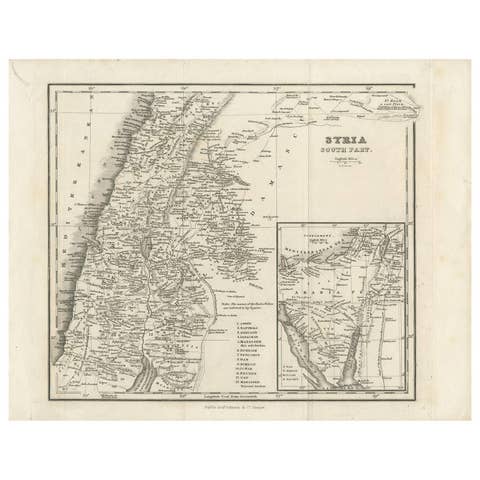
Antique Map of Southern Syria by Fullarton & Co, circa 1860
1860 · € 240
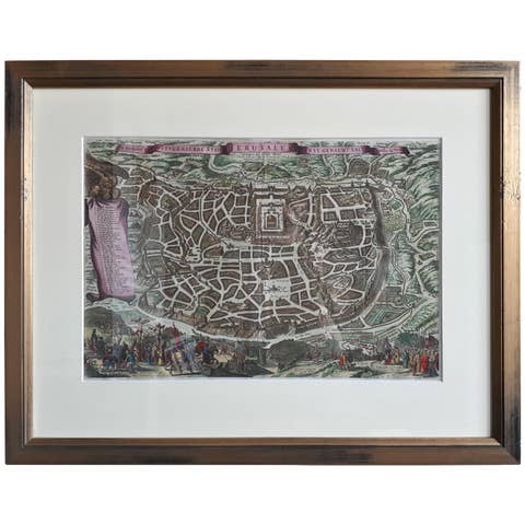
Antique Map of the City of Jerusalem by N. Visscher, 1702
1702 · € 3 450

Antique Map of Turkey in Asia by A.K. Johnston, 1865
1865 · € 275

Antique Map of Egypt and Palestina by H. Kiepert, circa 1870
1870 · € 144

Antique Map of Persia by A. Zatta, circa 1785
1785 · € 260