About this sheet
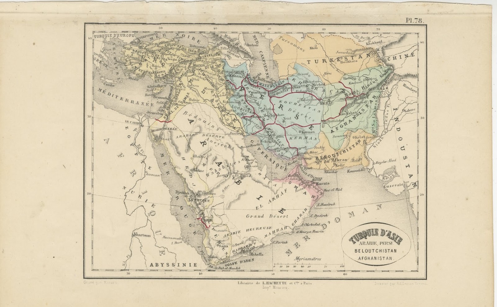
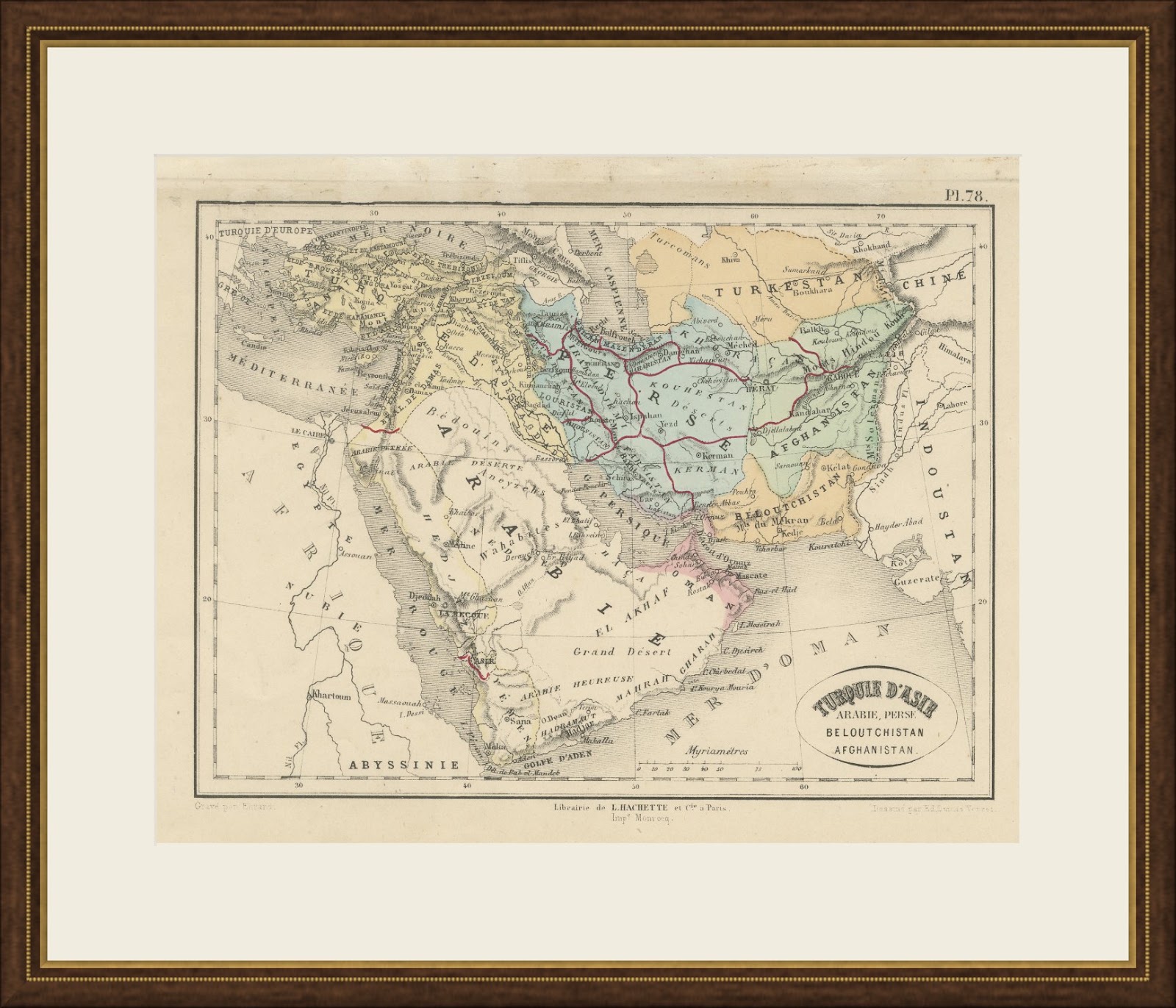
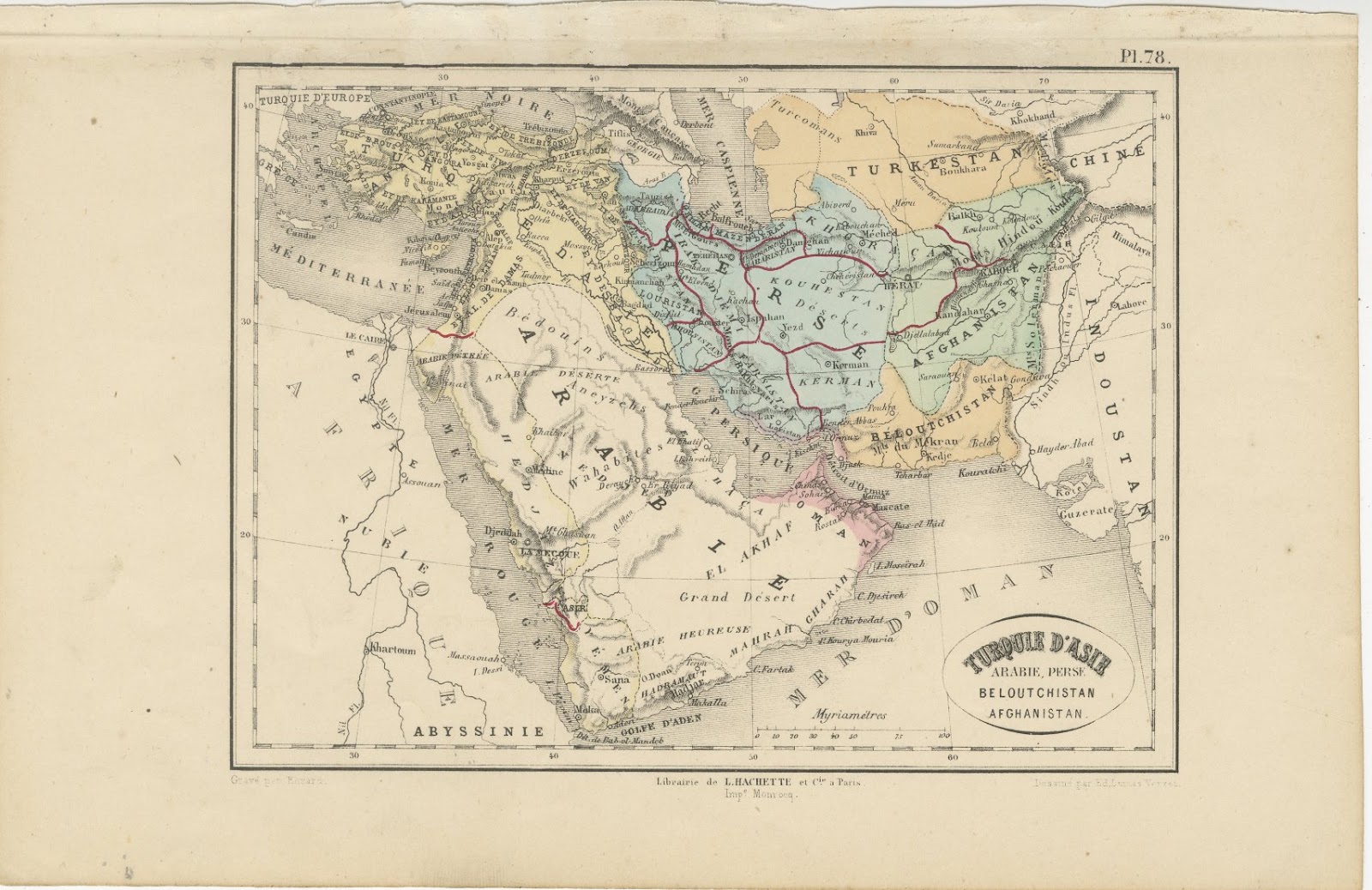
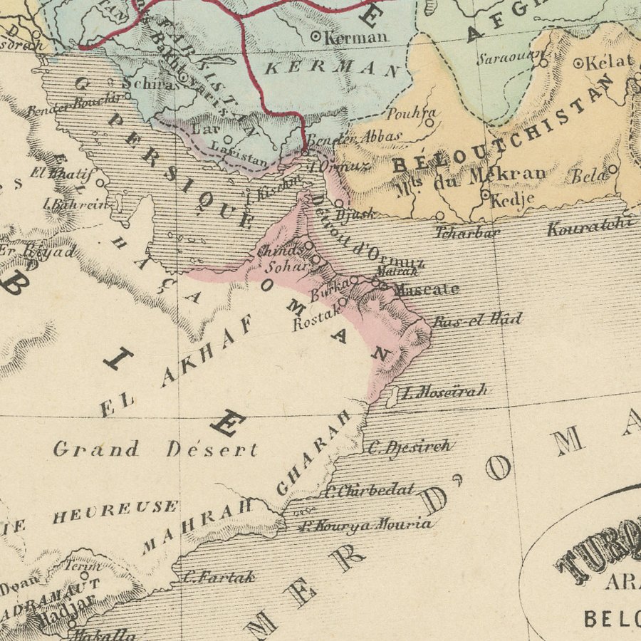
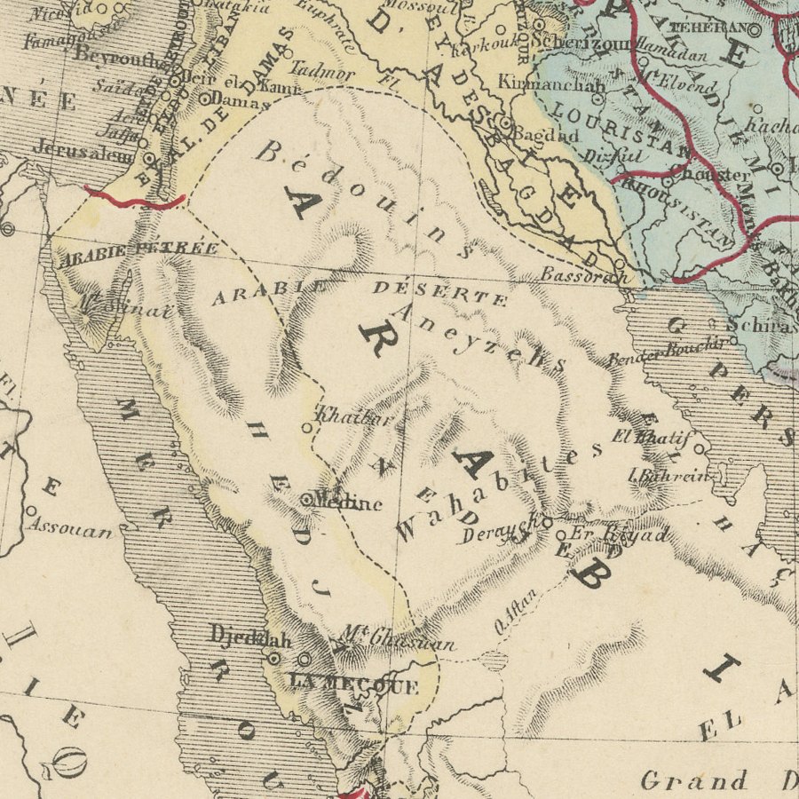
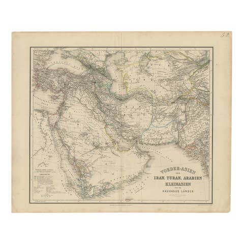
This antique map of Turkey in Asia, Arabia, Persia, Baluchistan and Afghanistan was published in Paris by the Librairie L. Hachette et Compagnie in the second half of the nineteenth century. Its oval title reads Turquie d'Asie, Arabie, Perse, Beloutchistan, Afghanistan, and the sheet is numbered Pl. 78 in the upper right corner.
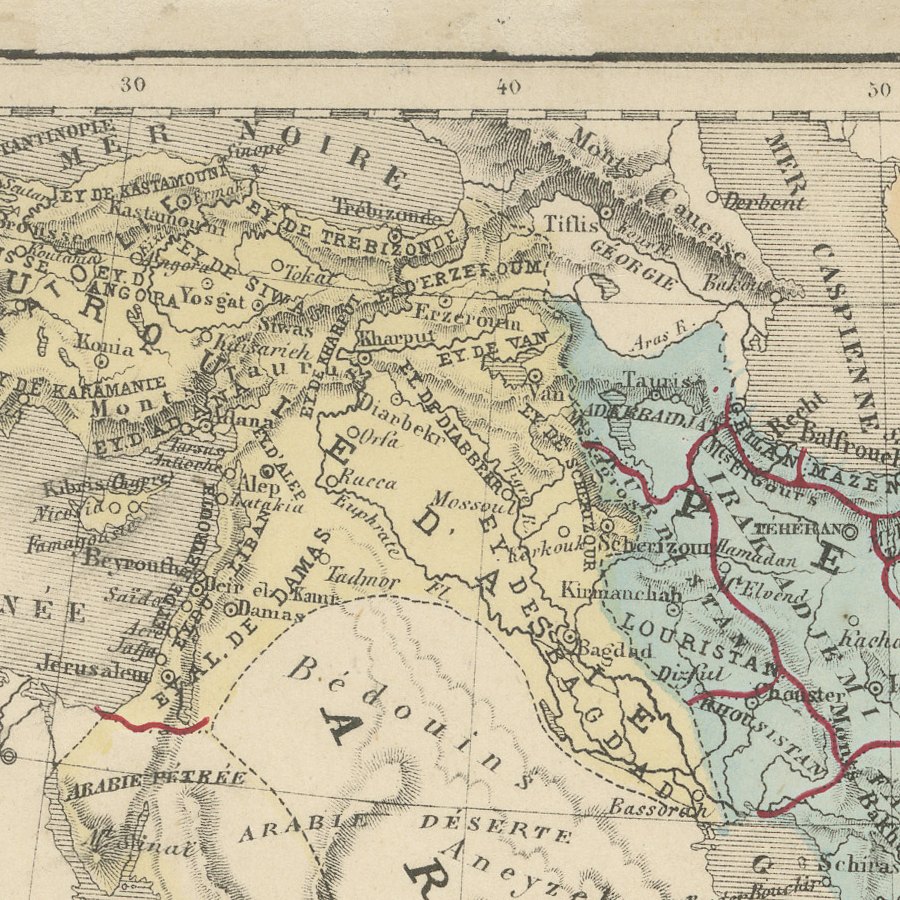
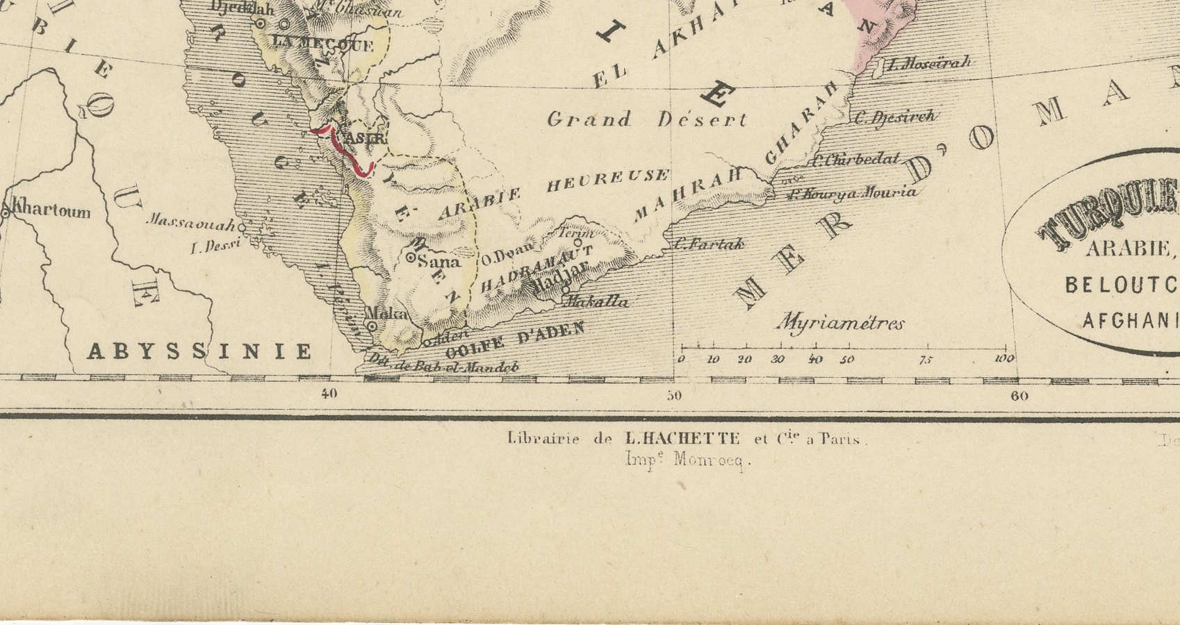
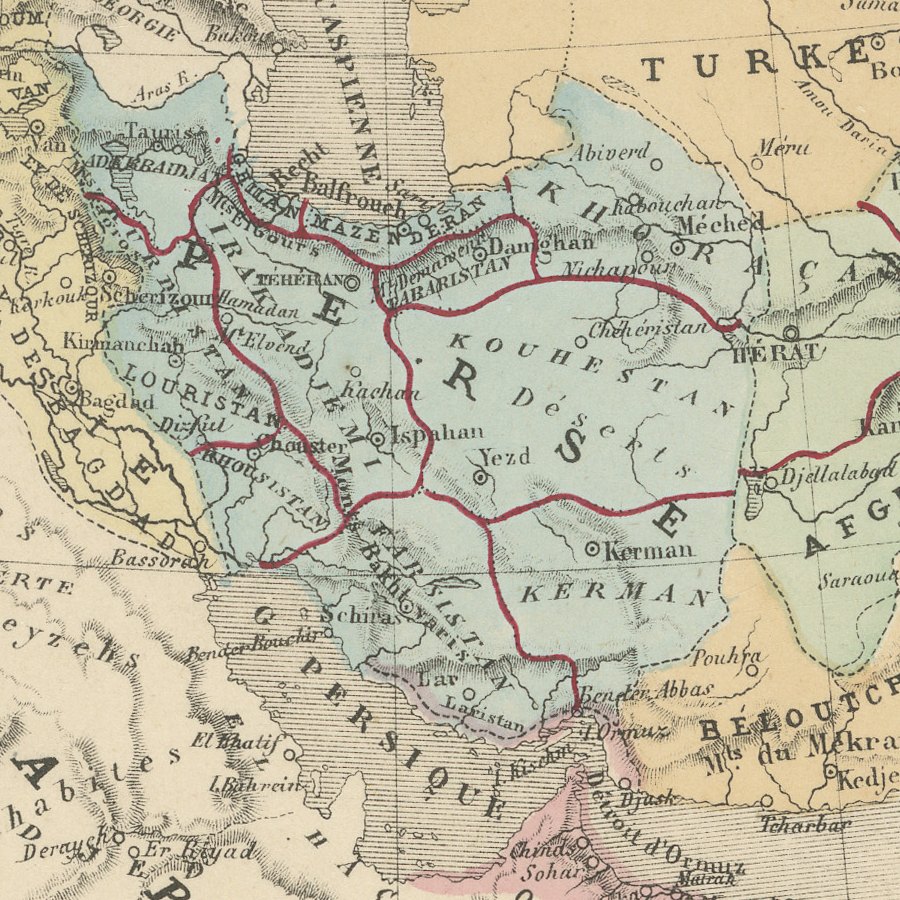
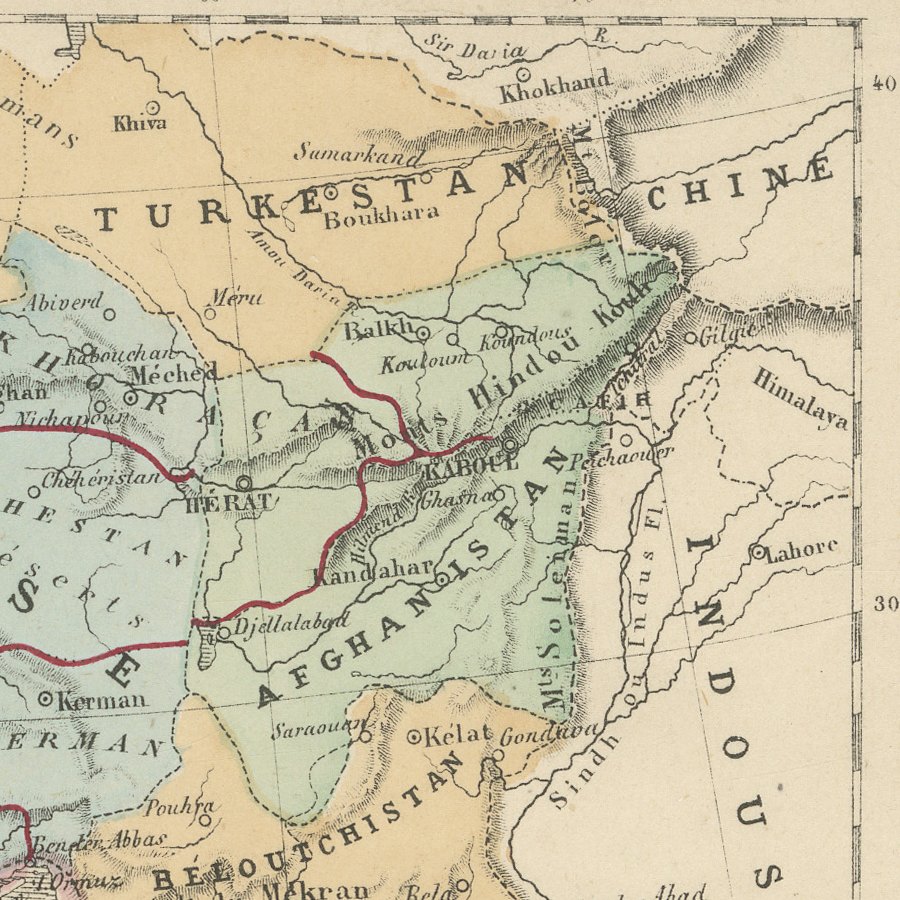
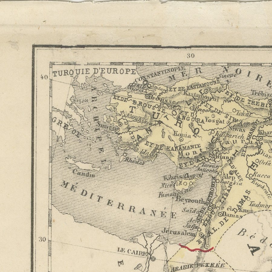
The map covers the whole of the Arabian Peninsula, the Red Sea and the Persian Gulf, extending north to the Black Sea and the Caspian and east to the Indus and Turkestan. Persia and Afghanistan are washed in blue and green, Baluchistan and the Turkestan khanates in orange, and red lines mark the frontiers, while place names include Mecca, Djeddah, Sana, Aden, Mascate, Ispahan, Hérat and Kandahar.
The lower margin credits the drawing to Ed. Dumas Vorzet and the engraving to Erhard, both regular contributors to French school and reference atlases, with the printing by Monrocq. The colour appears to be of the period, applied as area wash and boundary lines. The map records the region at the height of the rivalry between Britain and Russia in Central Asia, when Afghanistan and Baluchistan held great strategic importance.
It is an informative and colourful sheet for anyone interested in the Arabian Peninsula, Iran or Afghanistan, and it works well framed in a study or alongside other maps of the Middle East. Beyond its decorative appeal, a map of this kind records the place names, routes and political divisions known to travellers, merchants and scholars of its day, which gives it lasting value as a historical document.
The sheet is in good condition for its age, with light toning, a rough upper edge with a crease in the upper margin and a few spots; the image is clean.
This is an original antique map, not a modern reproduction. This item is sold unframed. Any framed or interior images are shown for presentation and inspiration only, unless the listing explicitly states that the item is sold framed.