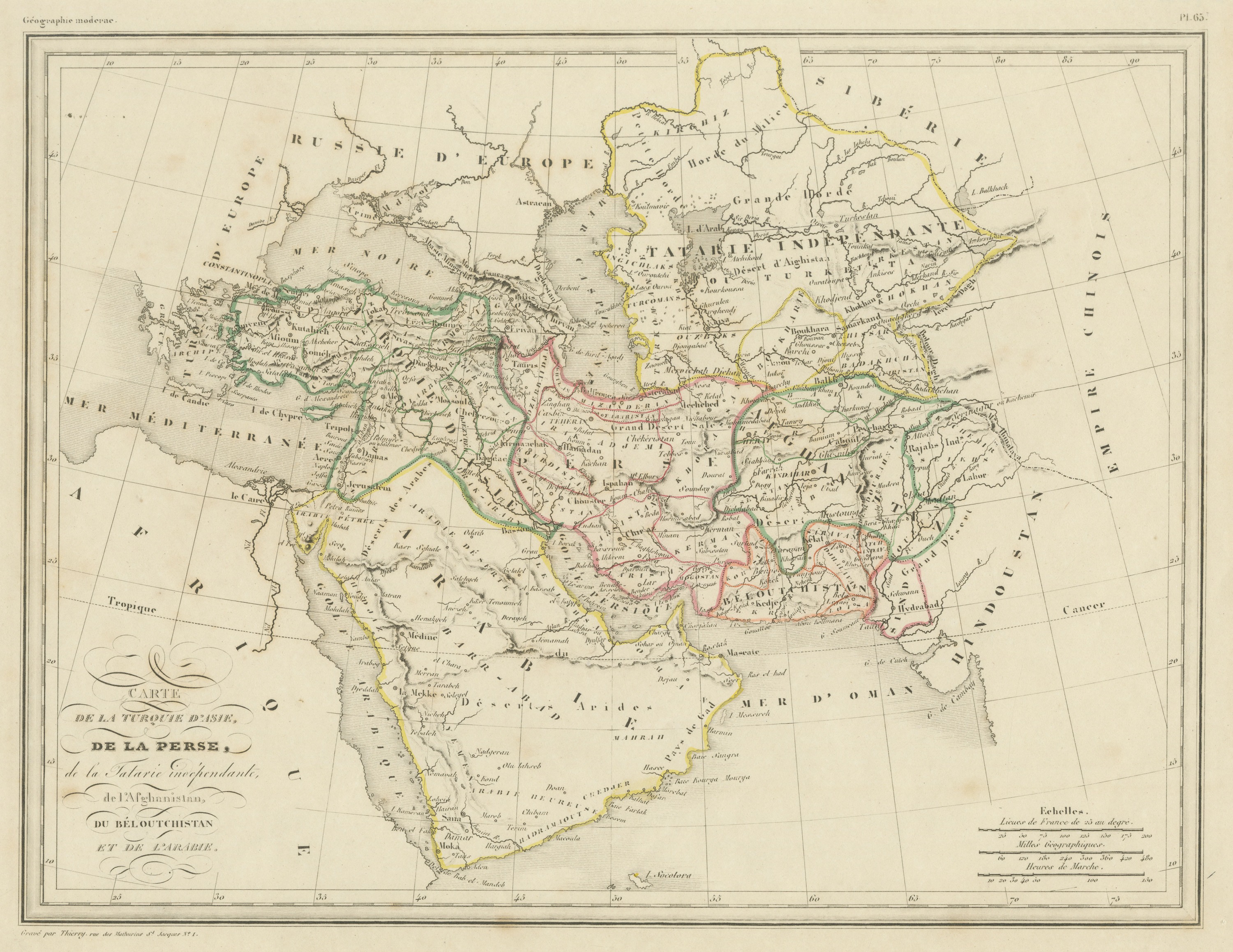
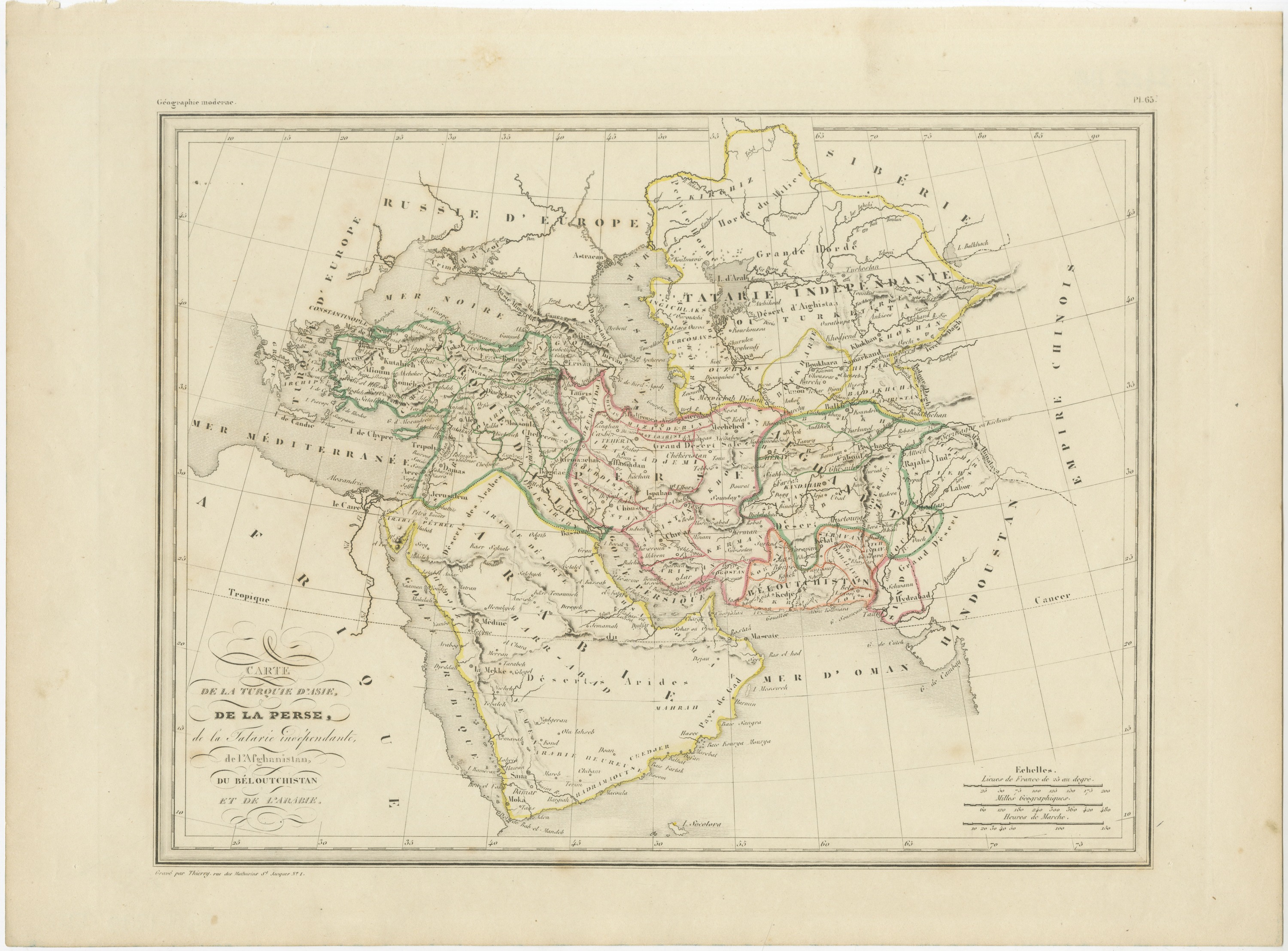
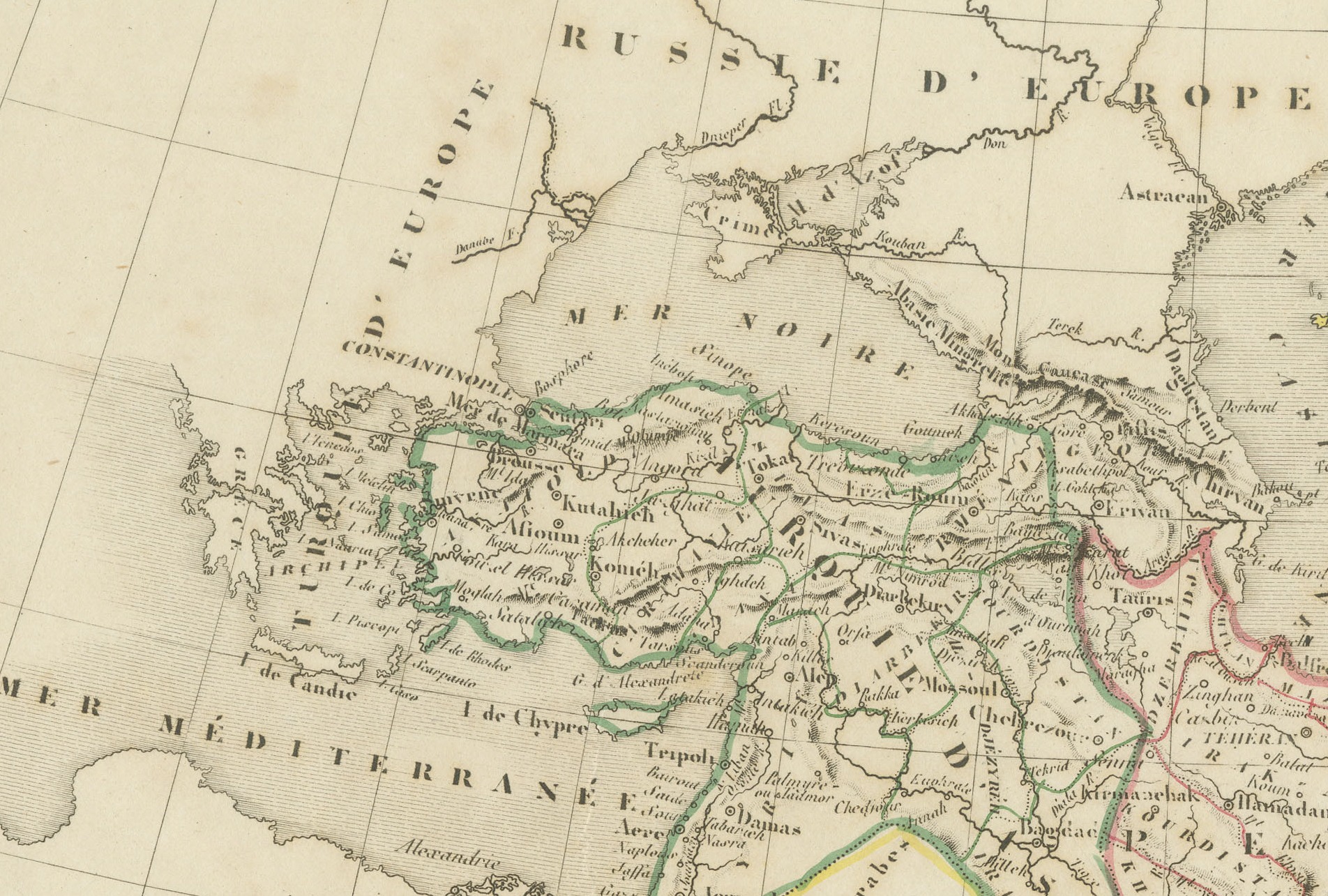
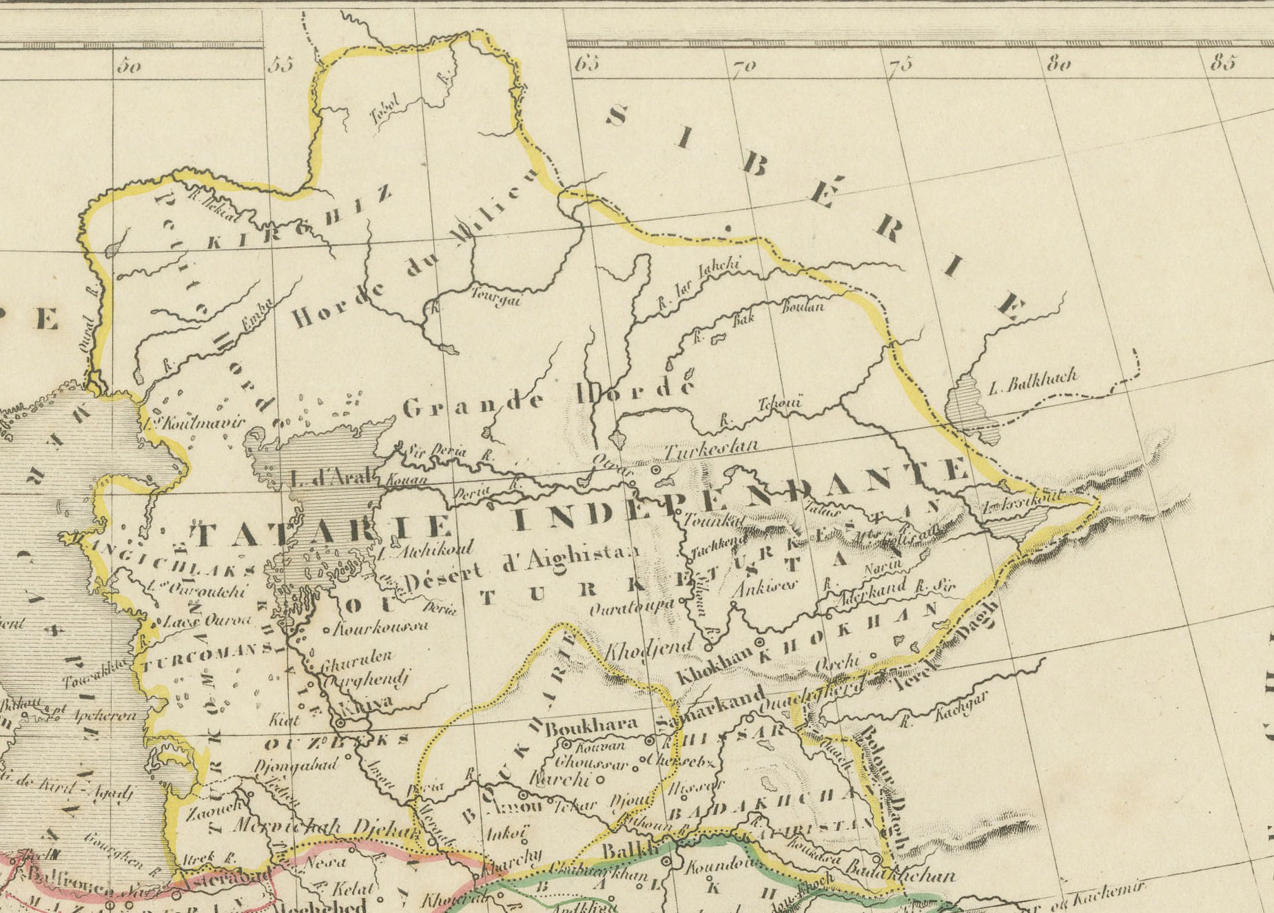
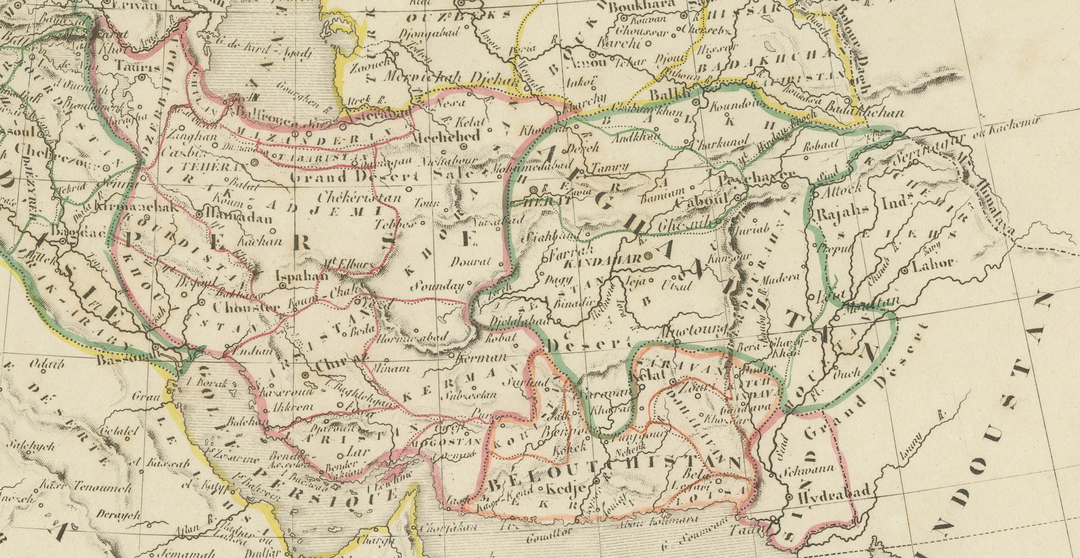
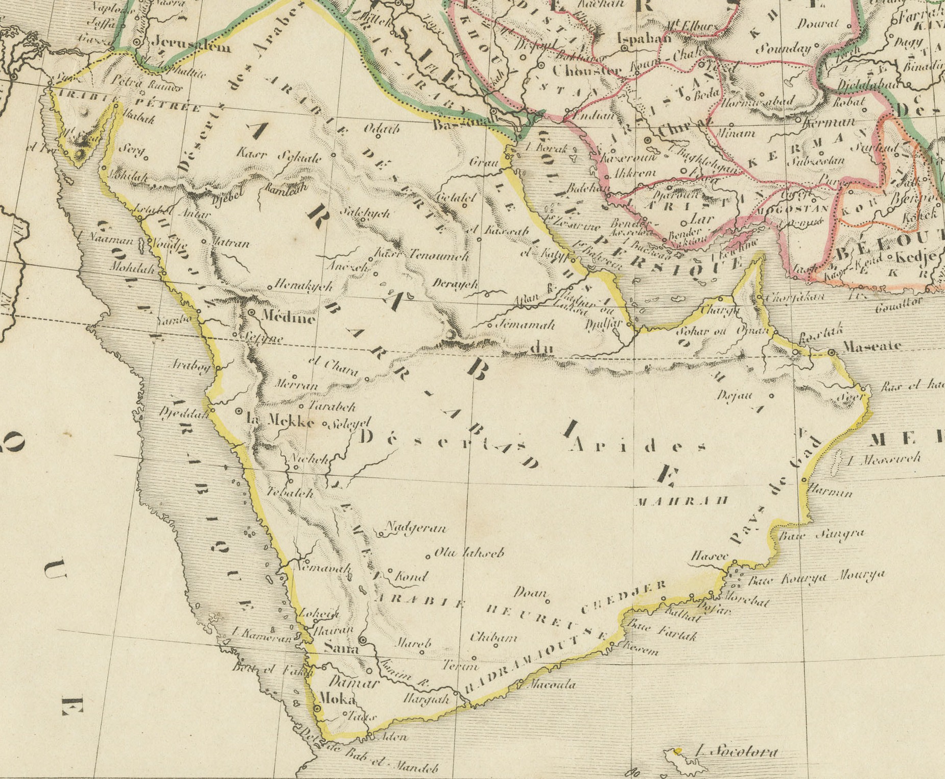
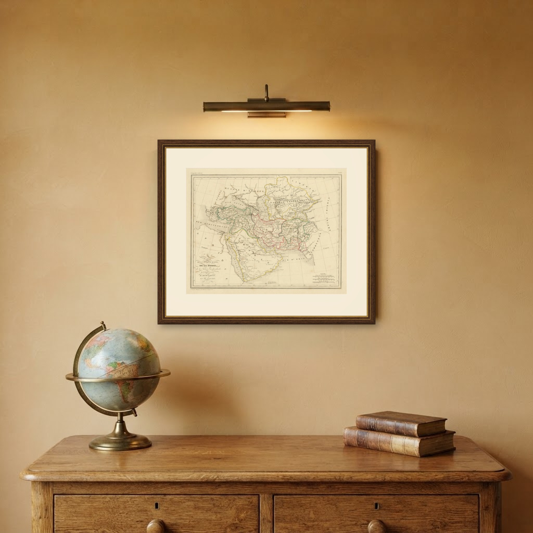
Antique Map of Turkey in Asia, Persia and Afghanistan by Malte Brun, c. 1830
€ 295
Original antique · The actual sheet photographed · Certificate of authenticity on request · Sold unframed · Worldwide shipping from € 15 (rates)
Date
circa 1830-1845
Mapmaker / artist
Engraved by Thierry
Publisher
Paris
Technique
Steel Engraving
Coloring
Partial original color
Sheet size
28 × 38 cm (11.0 × 15.0 in)
Condition
Good
Reference
BG-14279-55
What the condition grades mean
Excellent
Bright and clean, with no faults worth mentioning.
Very good
Only light signs of age, such as faint toning.
Good
Normal signs of age for a sheet of this period: toning, some foxing, small marks or neat old repairs.
Fair
Clear faults such as staining, tears or repairs, priced to match.
Every fault we see is written in the condition note, and the whole sheet is shown uncropped in the photos.
Condition
Good condition for its age. Light toning; small chips and losses along the upper edge of the margin, well clear of the image, and a few small indentations. Please review the images for further condition details.
About this sheet
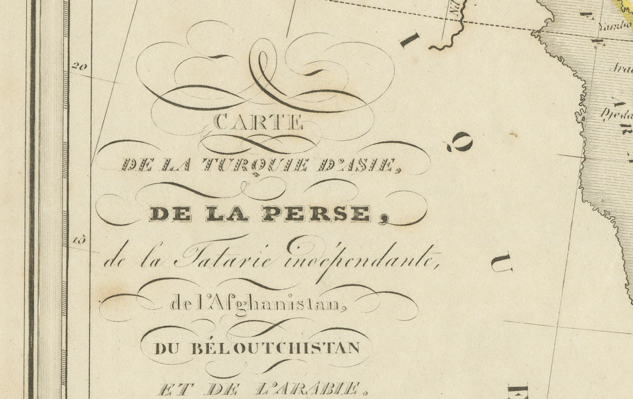
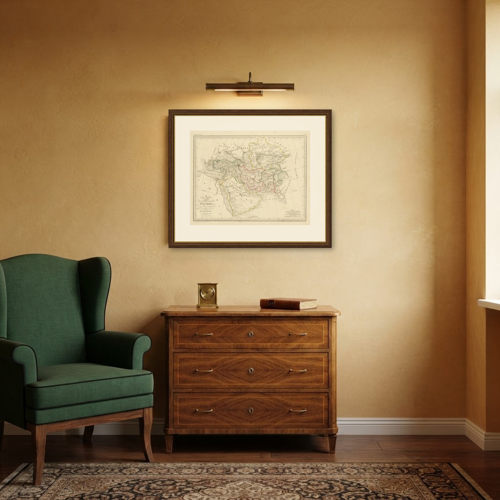
This antique map of the Middle East and Central Asia is titled Carte de la Turquie d'Asie, de la Perse, de la Tatarie indépendante, de l'Afghanistan, du Béloutchistan et de l'Arabie. It is marked Géographie moderne and Pl. 65 in the upper margins and is believed to come from the atlas to Conrad Malte Brun's geography, engraved by Thierry in Paris.
The map sweeps from the Mediterranean, Egypt and the Red Sea across Arabia, Anatolia, Persia and Afghanistan to Hindoustan and the Chinese Empire, with Russia and Siberia to the north. Arabia, Persia, Afghanistan and Tartary are each outlined in color, and scales are given in French leagues, geographical miles and hours of march.
Conrad Malte Brun was a Danish born geographer working in Paris whose Précis de la géographie universelle, continued after his death, was one of the great geographical works of the nineteenth century. The accompanying atlas maps, engraved by Thierry of the rue des Mathurins Saint Jacques, are marked Géographie ancienne or Géographie moderne in the upper left margin.
This wide ranging map of the lands from Arabia to Afghanistan is an excellent choice for a collector of the Middle East, and it frames handsomely with its generous margins. Beyond its decorative appeal, a map of this kind records the place names, routes and political divisions known to travelers, merchants and scholars of its day, which gives it lasting value as a historical document.
The sheet is in good condition for its age, with light toning and small chips along the upper edge of the margin; the image itself is clean.
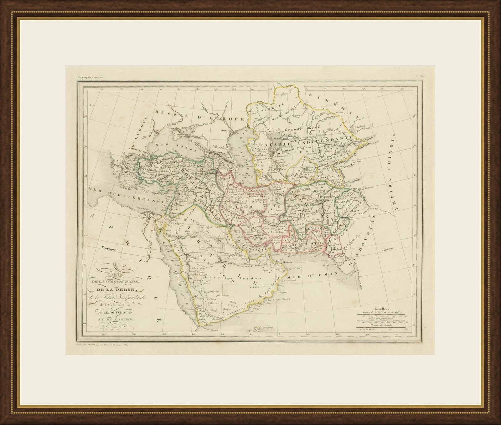
This is an original antique map, not a modern reproduction. This item is sold unframed. Any framed or interior images are shown for presentation and inspiration only, unless the listing explicitly states that the item is sold framed.