About this sheet
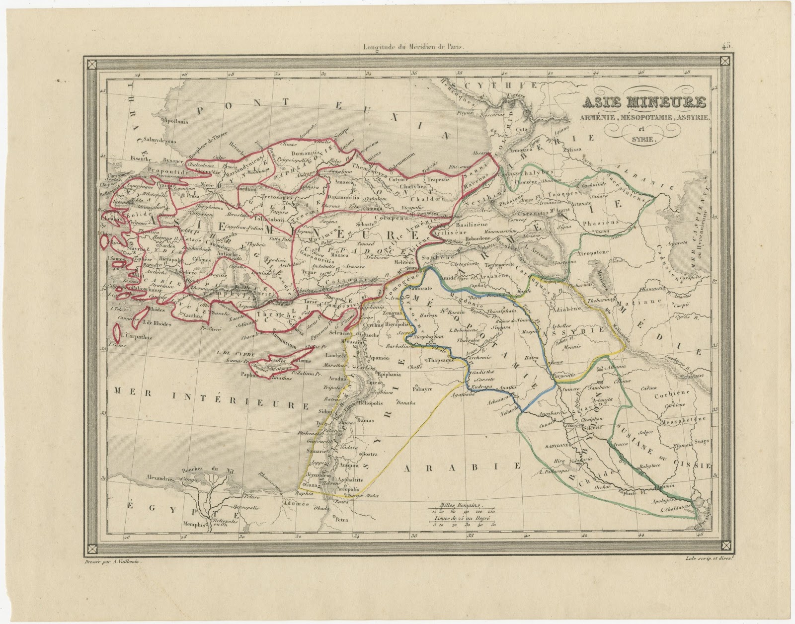
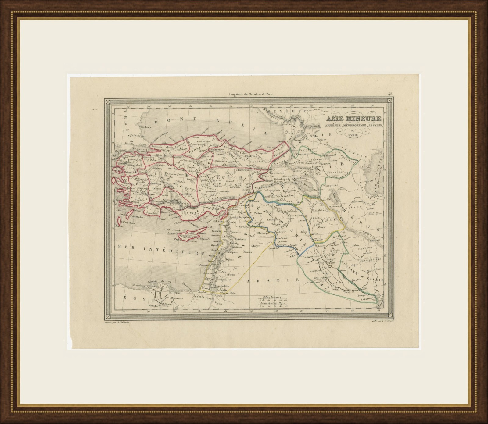
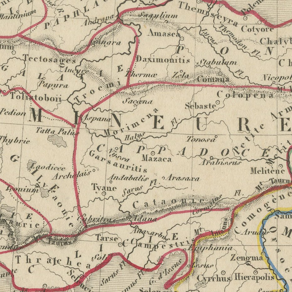
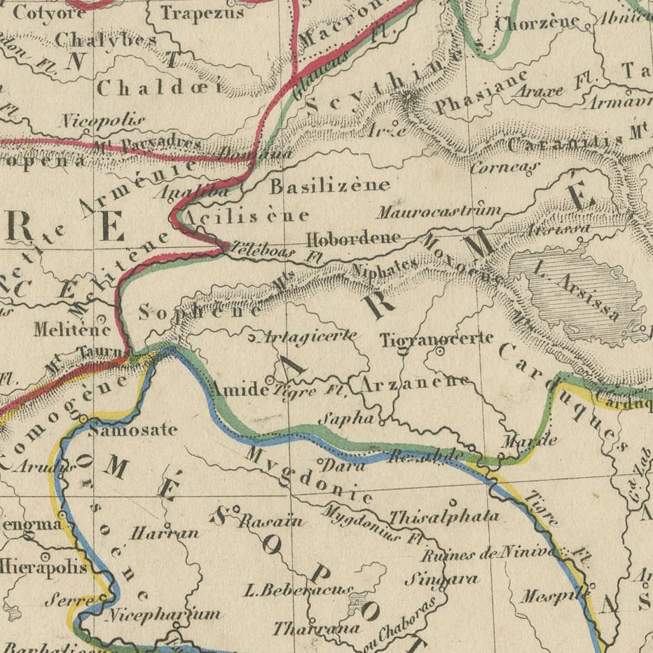
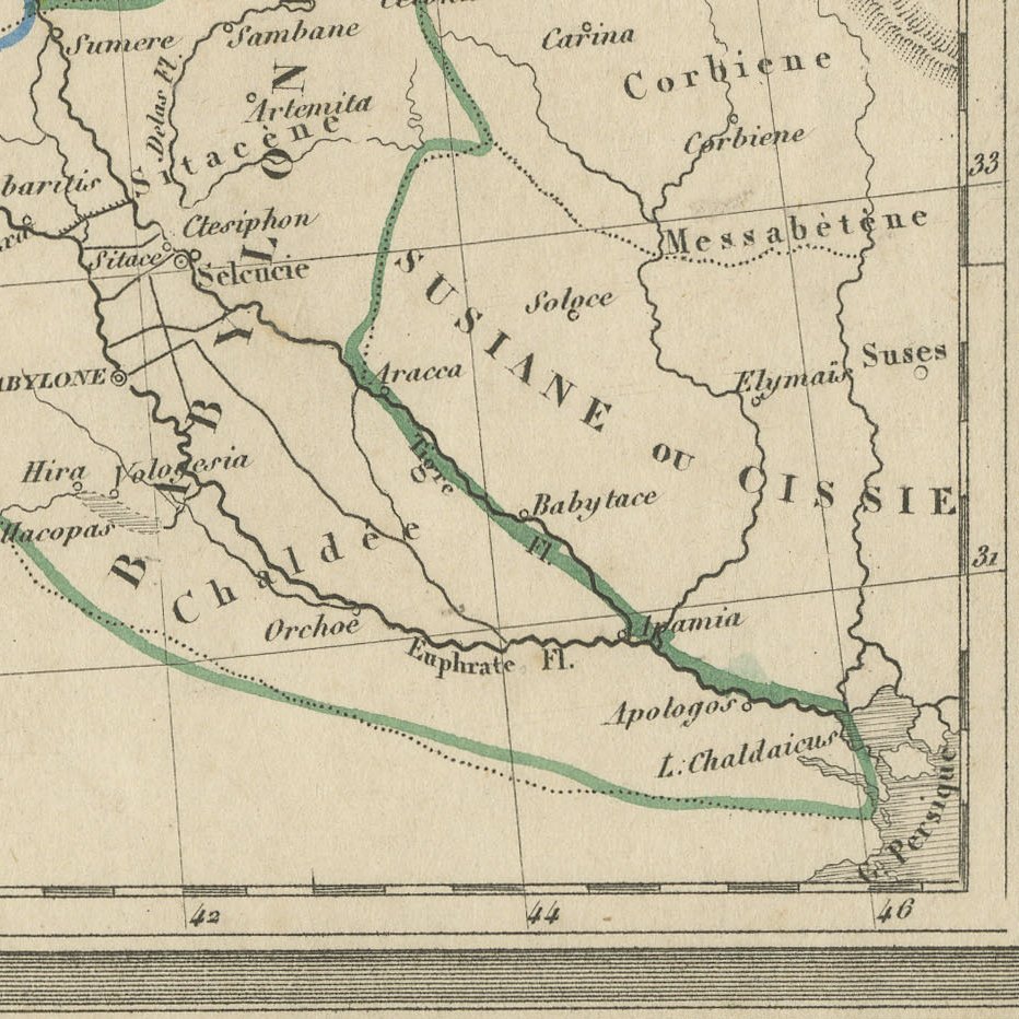
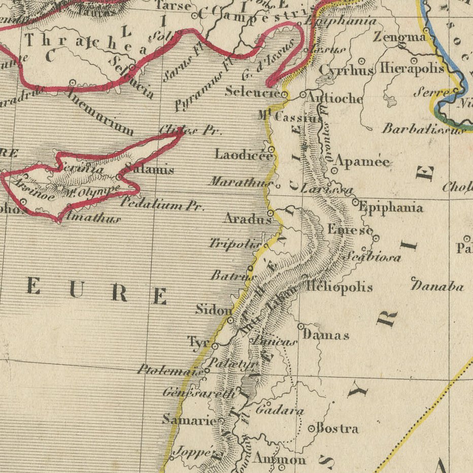
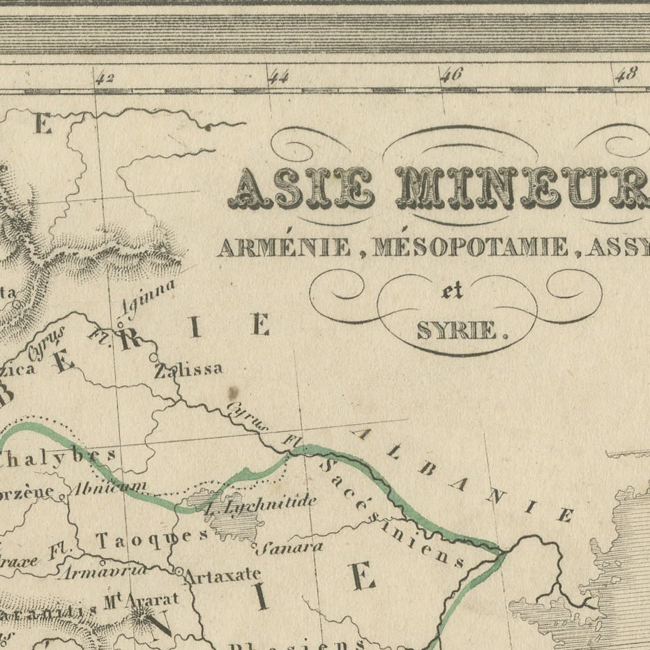
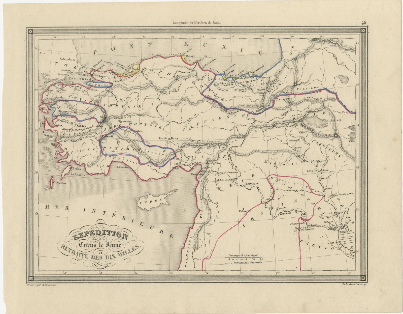
This antique map of the ancient Near East is titled Asie Mineure, Arménie, Mésopotamie, Assyrie et Syrie and was drawn by Alexandre Vuillemin for his atlas published in Paris in the 1840s. It is plate 43, and the engraving is signed by Lale.
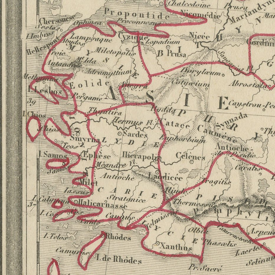
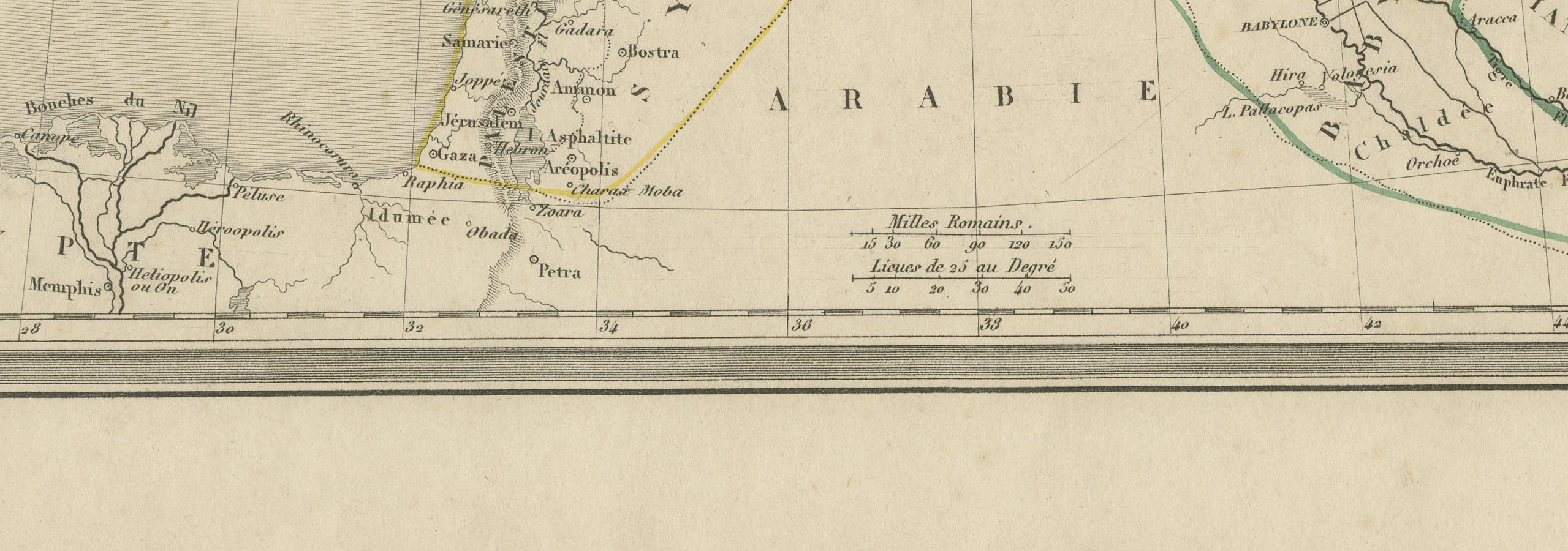
The map covers classical Anatolia from Thrace and the Propontis to Cilicia, with Armenia, Mesopotamia, Assyria and Syria to the east and south, and the Mer Intérieure, Cyprus and the Nile delta at lower left. Ancient names are given in their French forms, such as Byzance, Nicée, Sardes, Éphèse, Halicarnasse, Tarse and Antioche, together with Petra in the south, and the provinces are outlined in red, blue, yellow and green.
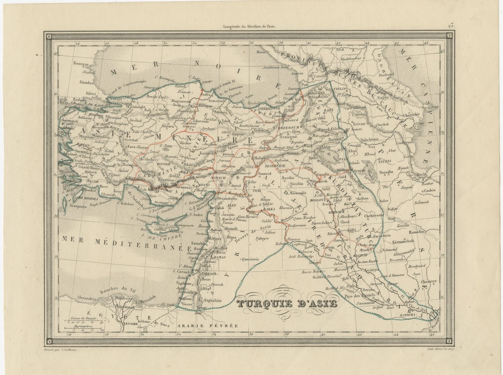
Alexandre Vuillemin was a prolific Parisian geographer of the middle of the nineteenth century, and his atlases of ancient and modern geography were widely used in French schools and homes. The maps are finely engraved, framed by a neat decorative border, and signed Dressé par A. Vuillemin at the lower left, with the engraver Lale credited at the lower right. The outline colour on this example appears to be original to the period.
It is an attractive and well detailed map at an accessible price, ideal for framing on its own or as part of a group of nineteenth century maps of the region. Beyond its decorative appeal, a map of this kind records the place names, routes and political divisions known to travellers, merchants and scholars of its day, which gives it lasting value as a historical document.
The sheet is in good condition for its age, with light toning, scattered foxing in the margins and a small chip at the lower left edge; the image is clean.
This is an original antique map, not a modern reproduction. This item is sold unframed. Any framed or interior images are shown for presentation and inspiration only, unless the listing explicitly states that the item is sold framed.