About this sheet
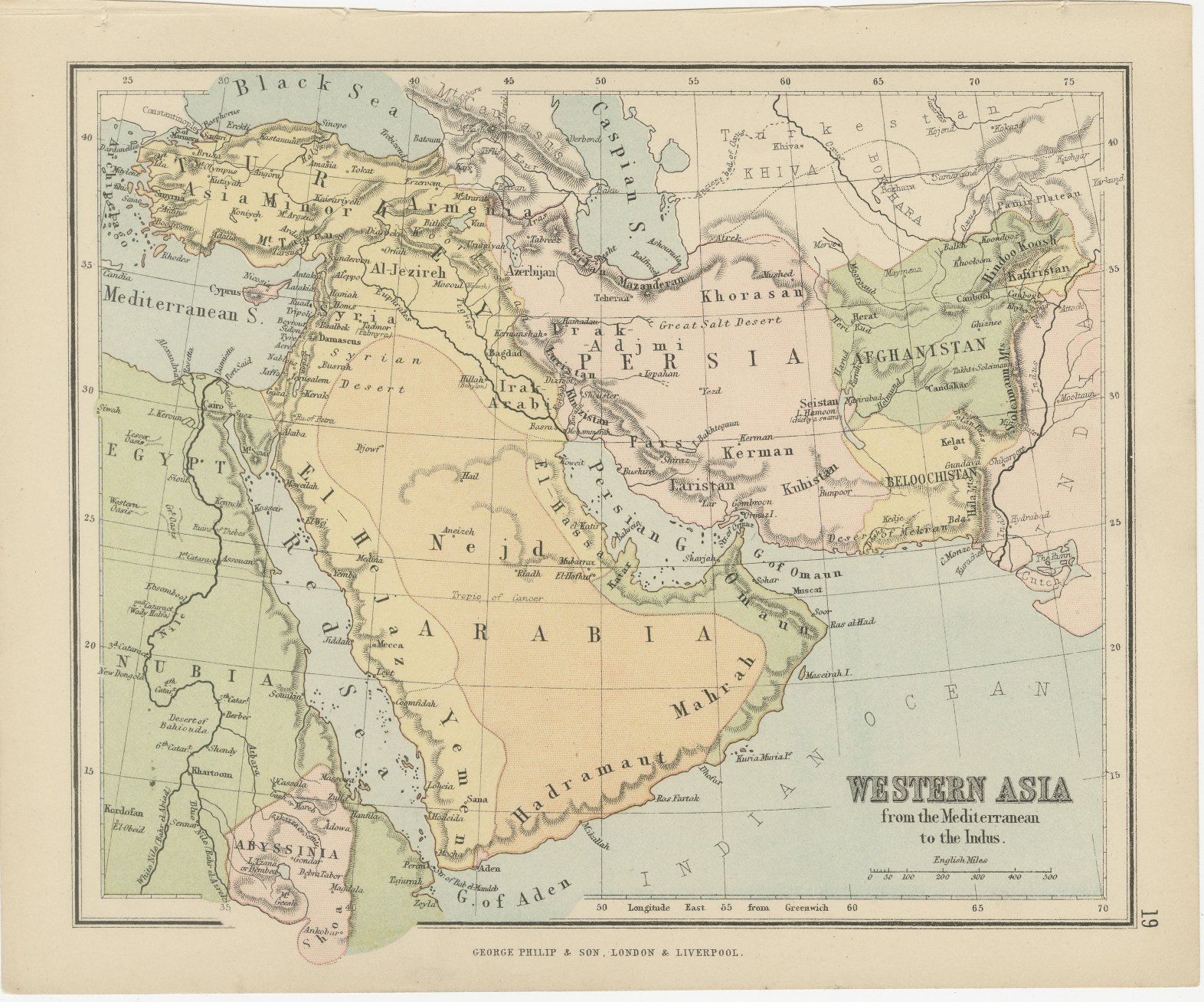
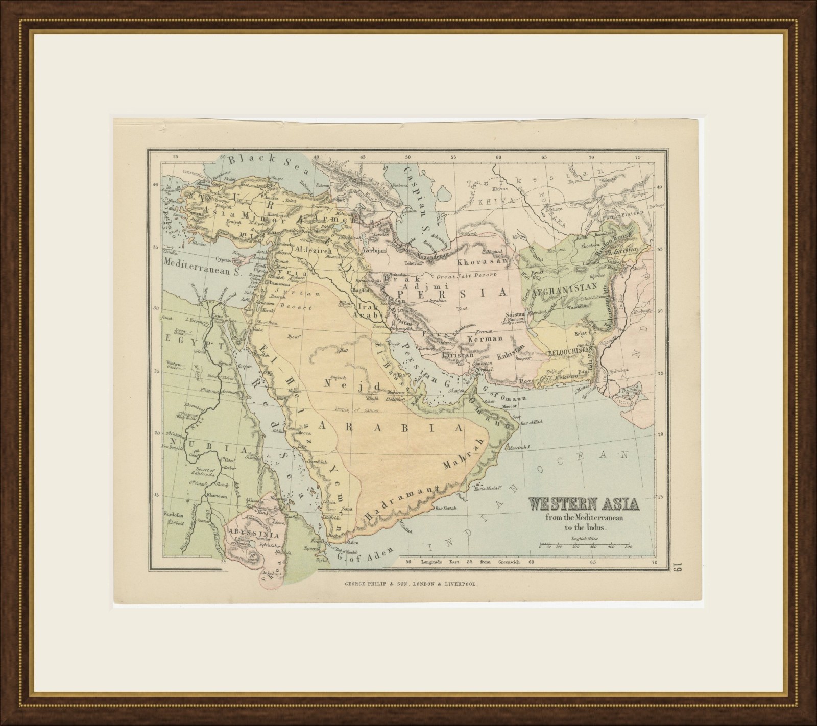
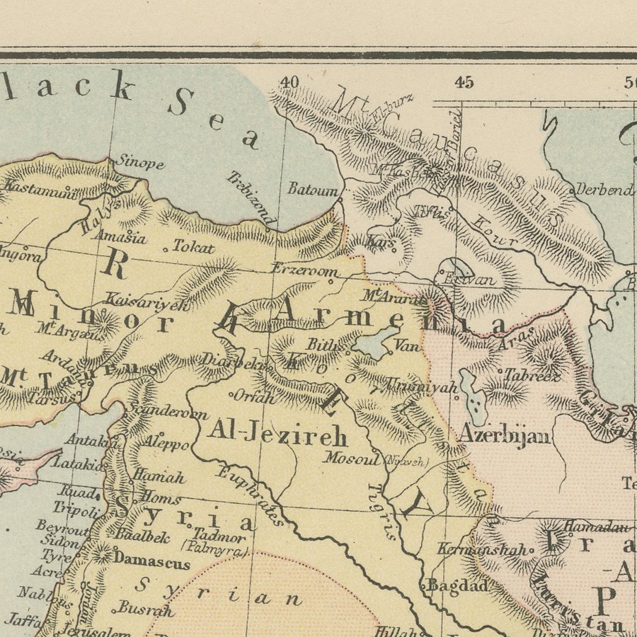
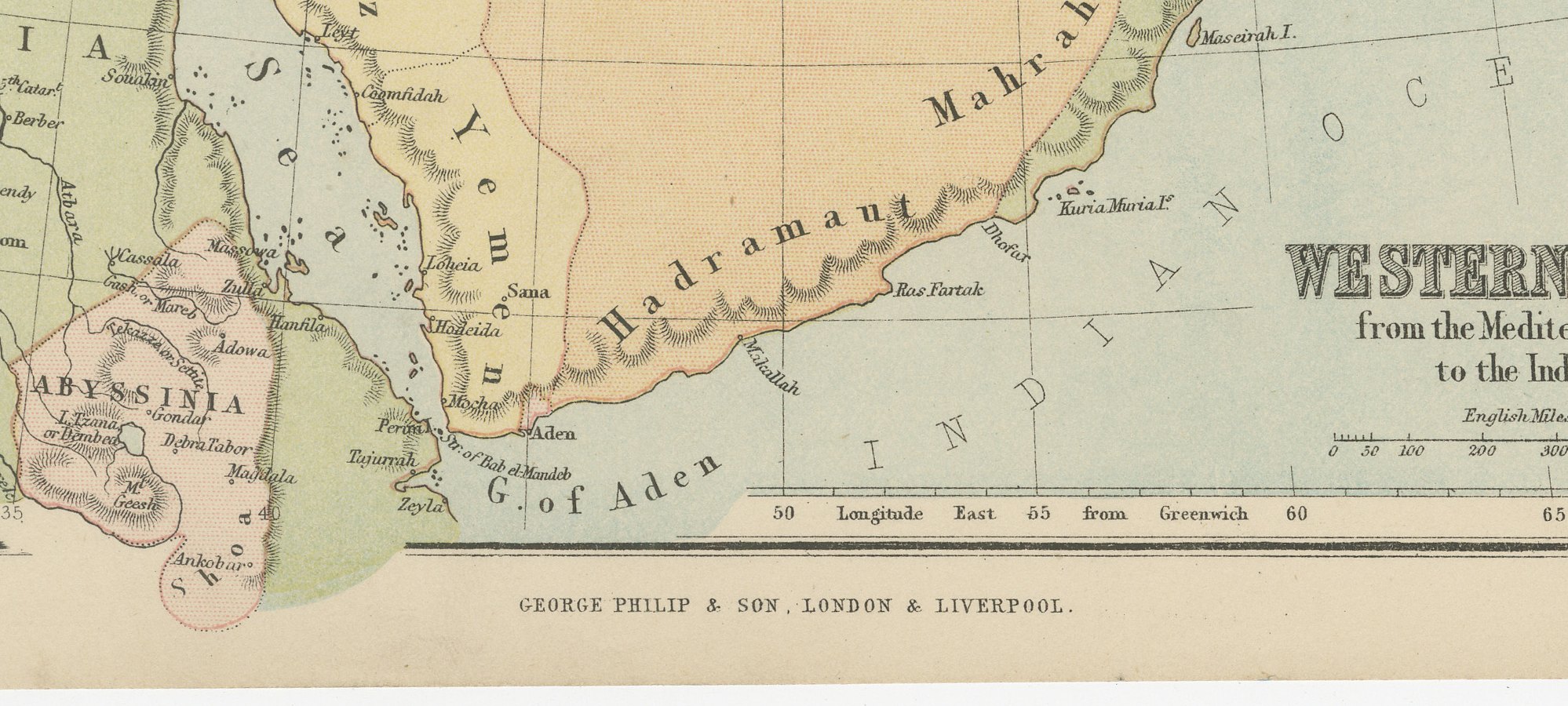
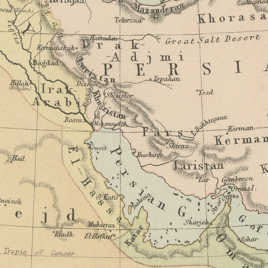
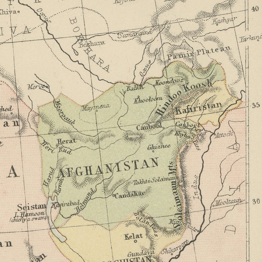
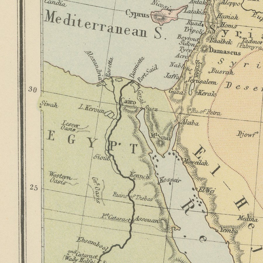
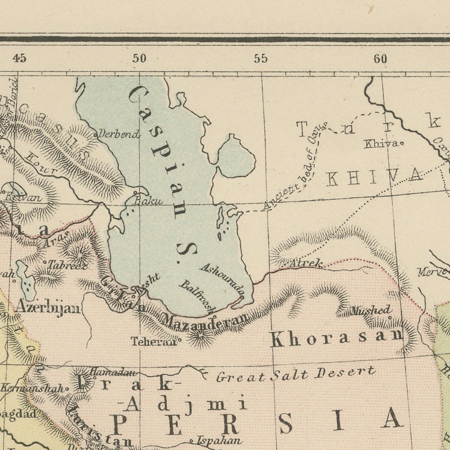
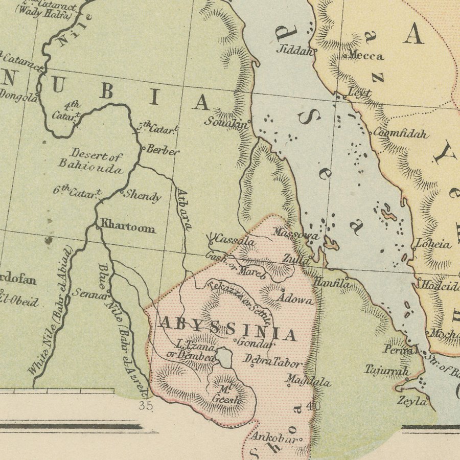
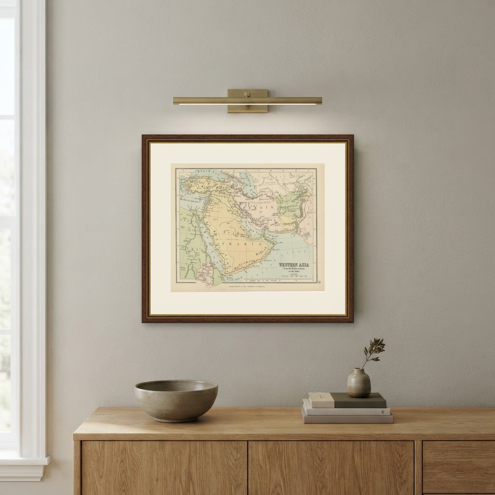
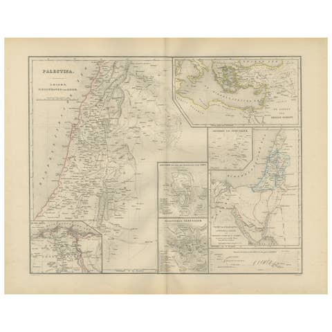
This antique map of Western Asia from the Mediterranean to the Indus was published by George Philip and Son of London and Liverpool in the later nineteenth century. It shows Asia Minor, Syria, Arabia, Persia, Afghanistan and Baluchistan, with Egypt, Nubia and Abyssinia on the western side, and it is numbered 19 in the right margin.
Colour distinguishes the main territories: Arabia in yellow, Persia in pink, Afghanistan in green and Egypt in pale green, with the seas in blue. The map names Nejd, El Hejaz, Yemen, Hadramaut and Oman, the cities of Mecca, Medina, Sana, Aden, Muscat, Baghdad, Tehran and Herat, and a scale of English Miles appears beneath the title.
Philip's atlases were designed for a broad public, and this sheet gives a clear overview of the lands between the Mediterranean and India at a time of growing British interest in the Persian Gulf and the routes to India.
George Philip and Son, founded in Liverpool and later established in London, became one of the principal British map publishers of the nineteenth century, producing atlases for schools, families and commerce. Their maps are clear and practical, with careful attention to the political boundaries and trade routes of the period. It is a good introductory map for a collector of Arabia or Iran, and it frames well in a study or office. Beyond its decorative appeal, a map of this kind records the place names, routes and political divisions known to travellers, merchants and scholars of its day, which gives it lasting value as a historical document.
The sheet is in good condition for its age, with light toning and a small crease and nick at the upper edge, well clear of the map; the image itself is clean and bright.
This is an original antique map, not a modern reproduction. This item is sold unframed. Any framed or interior images are shown for presentation and inspiration only, unless the listing explicitly states that the item is sold framed.