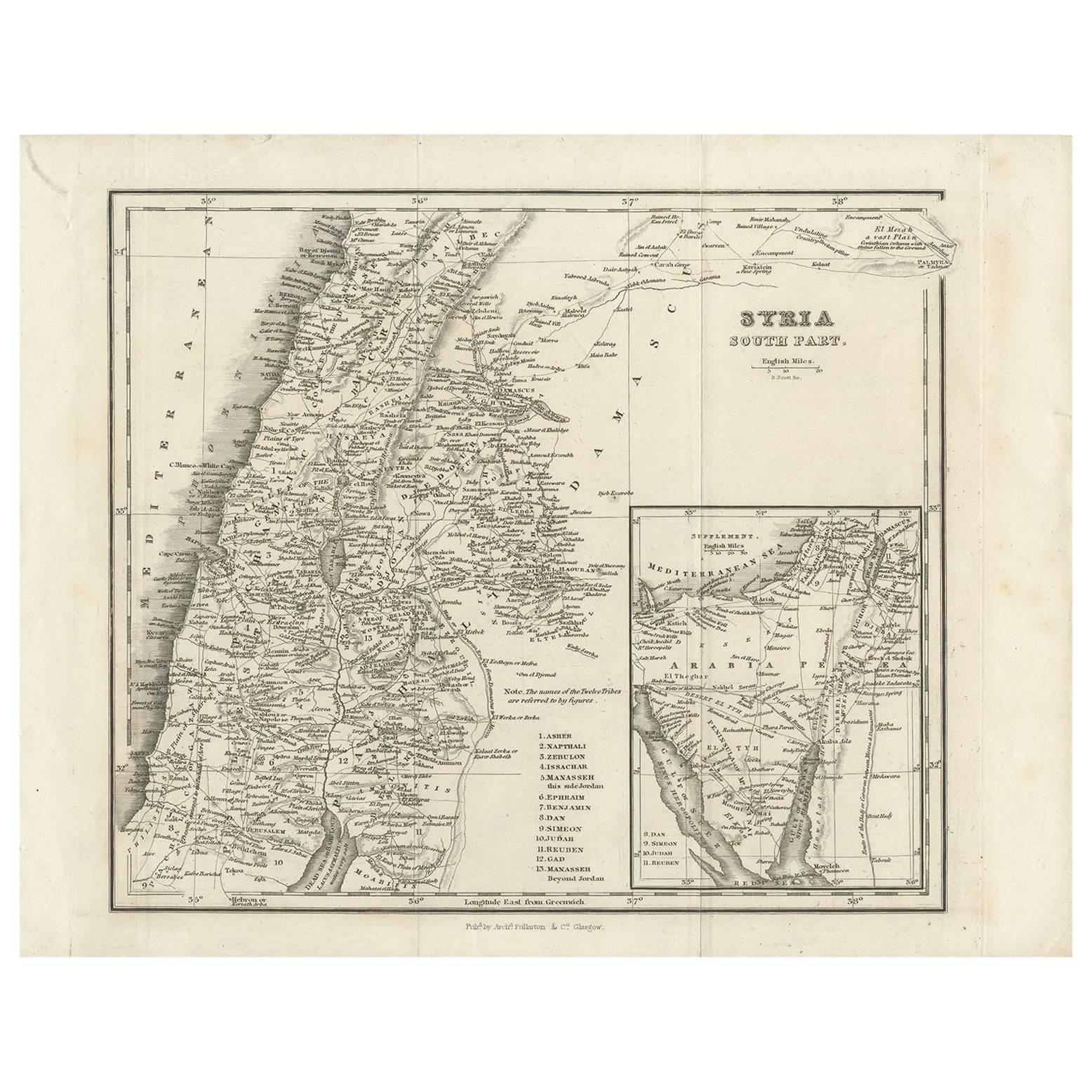
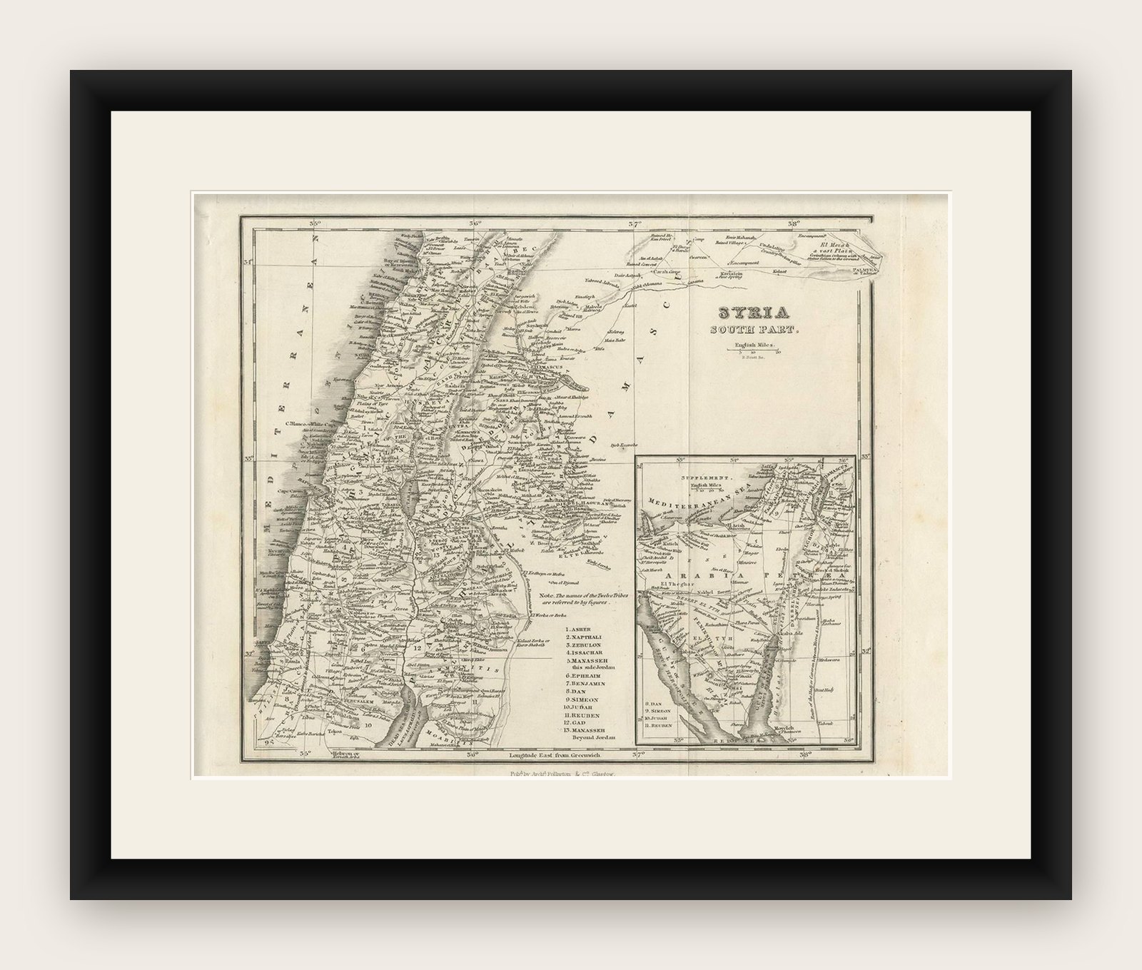
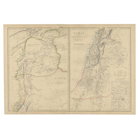
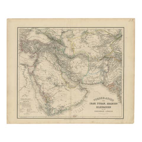
Antique Map of Southern Syria by Fullarton & Co, circa 1860
€ 240
Original antique · The actual sheet photographed · Certificate of authenticity on request · Sold unframed · Worldwide shipping from € 15 (rates)
Date
1860
Technique
Engraved
Sheet size
22.4 × 28.5 cm (8.8 × 11.2 in)
Condition
Good
Reference
BG-09427
What the condition grades mean
Excellent
Bright and clean, with no faults worth mentioning.
Very good
Only light signs of age, such as faint toning.
Good
Normal signs of age for a sheet of this period: toning, some foxing, small marks or neat old repairs.
Fair
Clear faults such as staining, tears or repairs, priced to match.
Every fault we see is written in the condition note, and the whole sheet is shown uncropped in the photos.
Condition
A few folding lines and some wear due to age hand handling. Please review the images for further condition details.
About this sheet
Antique map titled 'Syria south part'. Published by Fullarton & Co, Glasgow, circa 1860.
- Title: Syria South Part - Publisher: Fullarton & Co, Glasgow - Date of Publication: Circa 1860
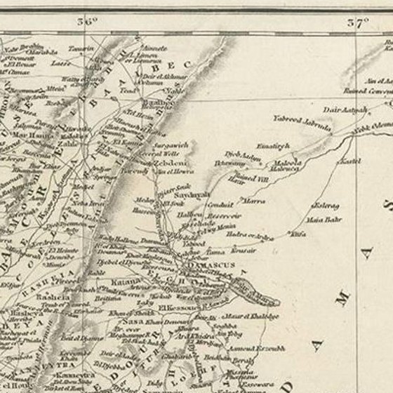
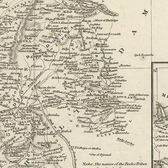
- Description: This antique map titled 'Syria South Part' is a remarkable piece of mid-19th century cartography. It intricately details the southern region of Syria, offering a fascinating historical perspective of the area as understood during that period. - Features: The map showcases a detailed layout of cities, towns, roads, rivers, and geographical landmarks of southern Syria. It is characterized by the precise and meticulous cartographic techniques of the era. The map is also noteworthy for its artistic merit, featuring a balanced and clear presentation with a distinct 19th-century aesthetic.
This map is an invaluable piece for historians, geographers, and collectors interested in Middle Eastern geography or 19th-century cartography. Its publication by the renowned Fullarton & Co. of Glasgow enhances its collectibility and scholarly interest.
This catalog description is designed to provide a comprehensive overview of the 'Syria South Part' map, highlighting its historical significance, detailing its condition, and underscoring its value to collectors and scholars of the region's geographical history.