About this sheet
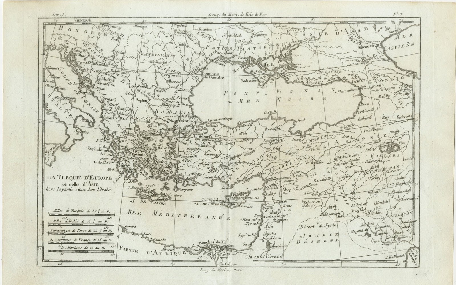
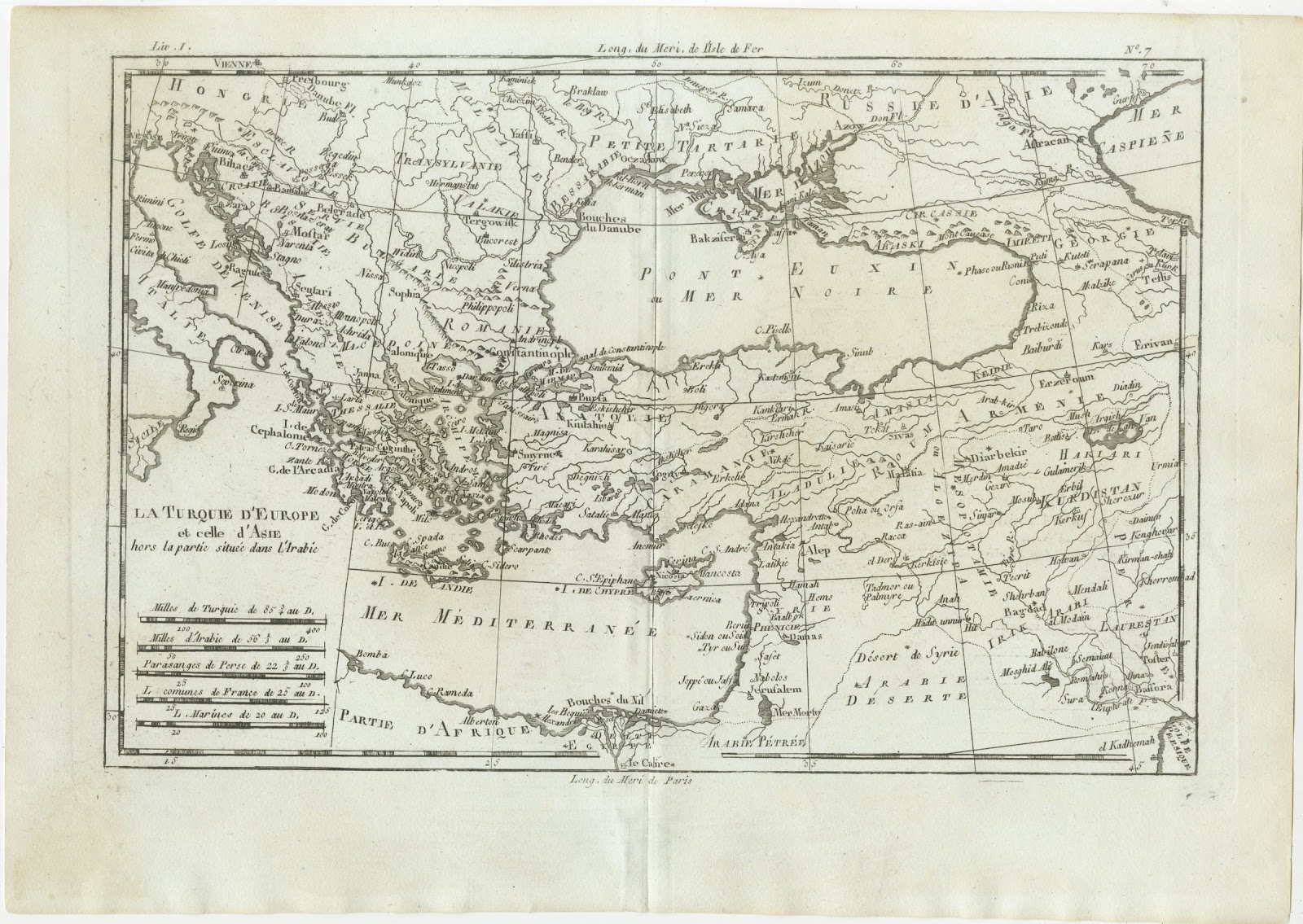
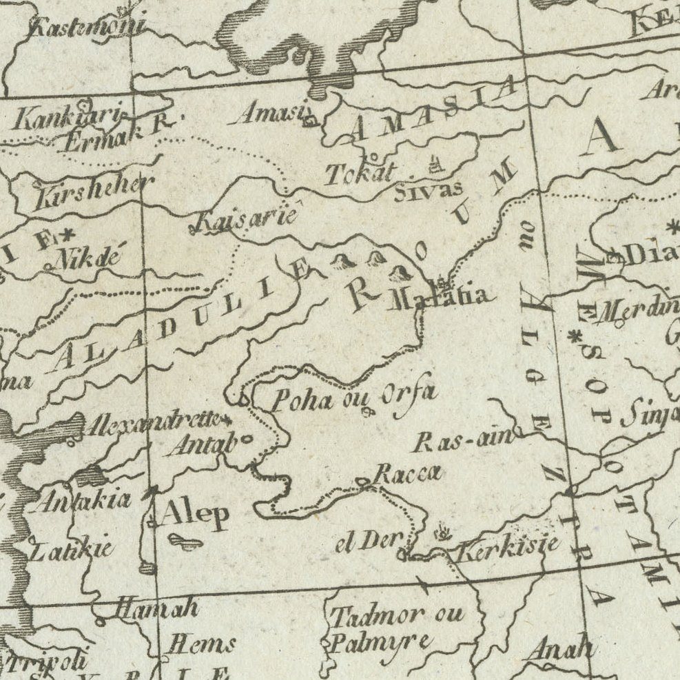
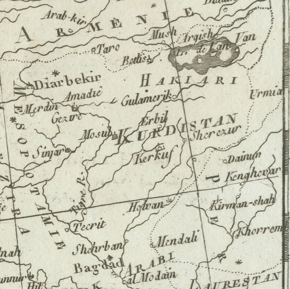
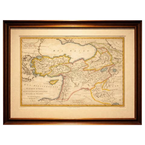
This antique map of the Ottoman Empire, titled La Turquie d'Europe et celle d'Asie hors la partie située dans l'Arabie, was made by Rigobert Bonne for the atlas accompanying the Abbé Raynal's Histoire philosophique des deux Indes, around 1780. It is marked Liv. I and N° 7 in the upper margin.
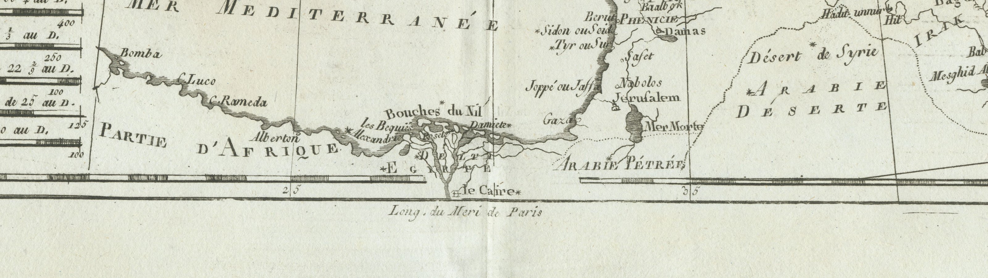
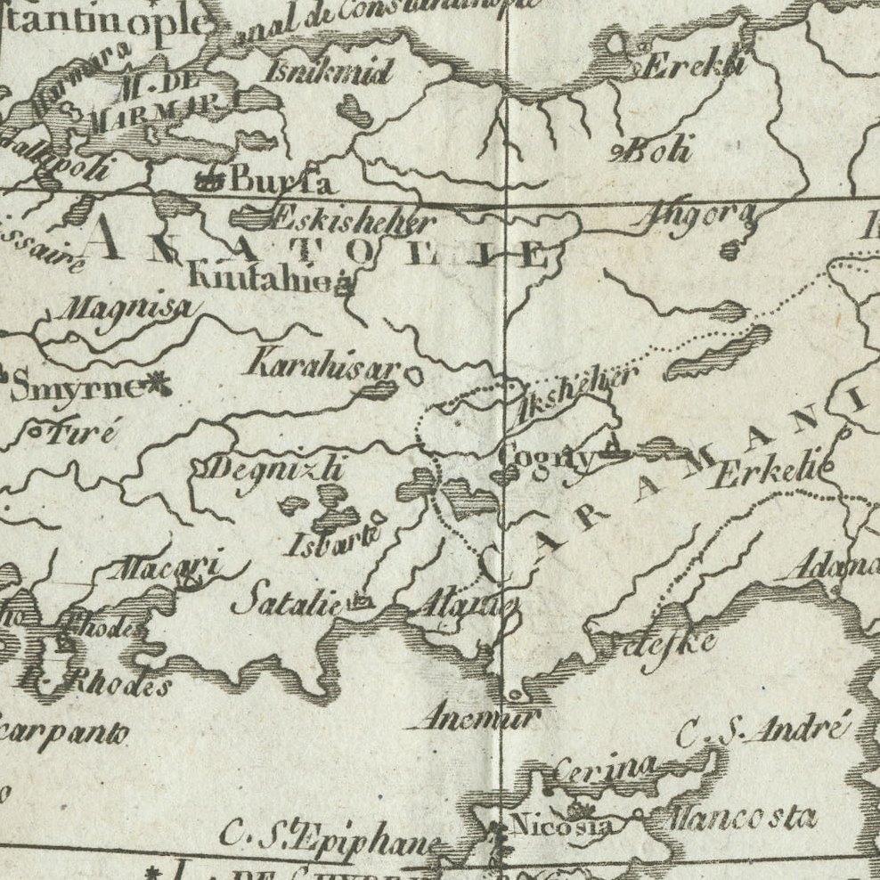
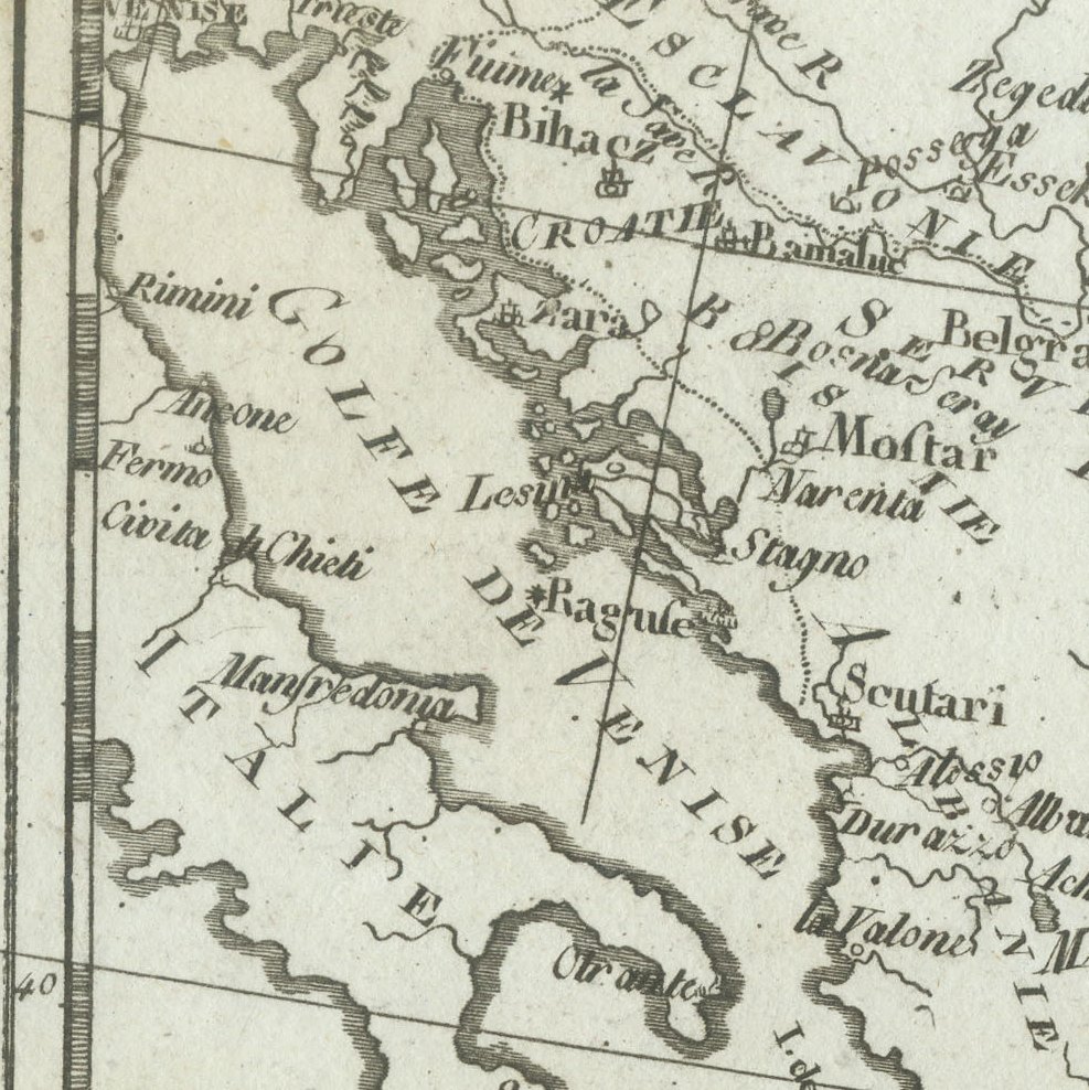
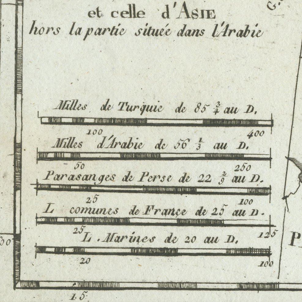
The map covers the Ottoman lands from Hungary, the Adriatic and Greece across the Black Sea to Georgia, Armenia, Kurdistan and Iraq, with Egypt, Cairo and the Nile delta in the south. Constantinople, Smyrne, Alep, Damas, Jérusalem, Mosul, Bagdad and Bassora are named, and a panel of five scales compares Turkish and Arabian miles, Persian parasangs and French leagues.
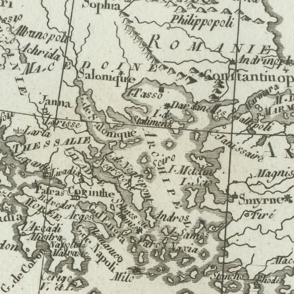
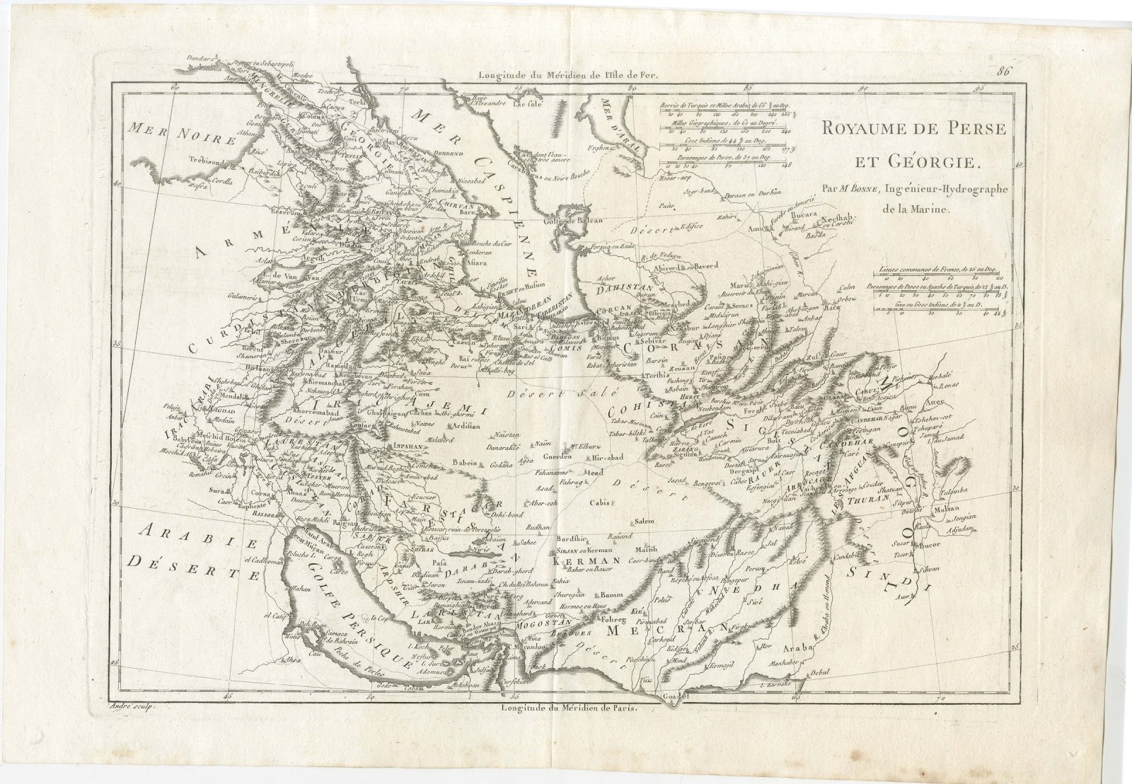
Rigobert Bonne served as Ingénieur Hydrographe de la Marine and was one of the most influential French cartographers of the later eighteenth century. His maps are admired for their careful compilation, restrained decoration and dense detail, and they were issued in several important atlases, including the atlas of the Abbé Raynal's Histoire philosophique des deux Indes and the Atlas encyclopédique. This example is uncoloured and shows Bonne's precise engraving clearly.
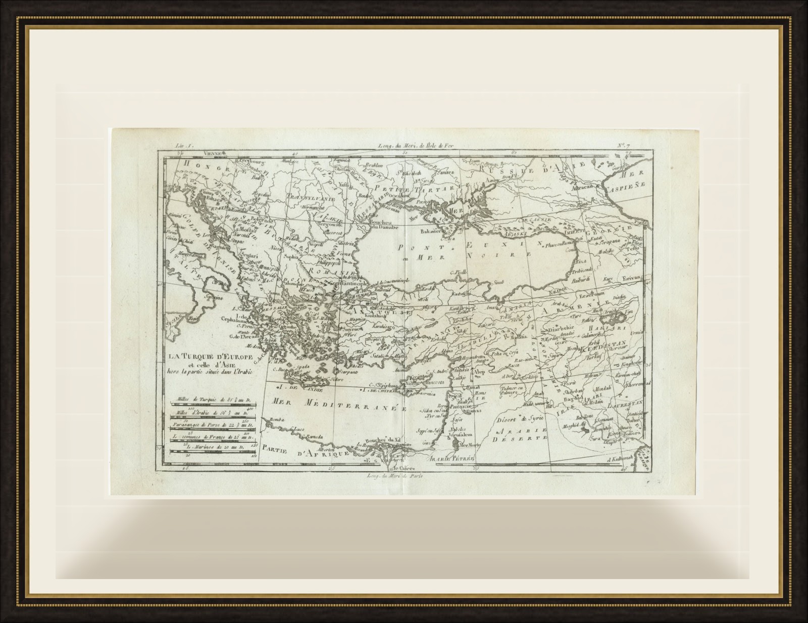
A comprehensive eighteenth century view of the Ottoman world by a leading French cartographer, it makes a distinguished framed map for any collector of Turkey, Greece or the Middle East. Beyond its decorative appeal, a map of this kind records the place names, routes and political divisions known to travellers, merchants and scholars of its day, which gives it lasting value as a historical document.
The sheet is in good condition for its age, with the centre fold as issued, light soiling and a few small spots in the margins; the image is clean.
This is an original antique map, not a modern reproduction. This item is sold unframed. Any framed or interior images are shown for presentation and inspiration only, unless the listing explicitly states that the item is sold framed.