About this sheet
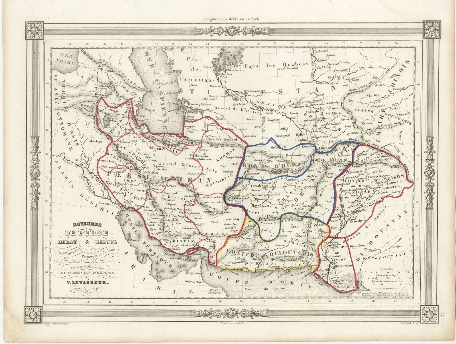
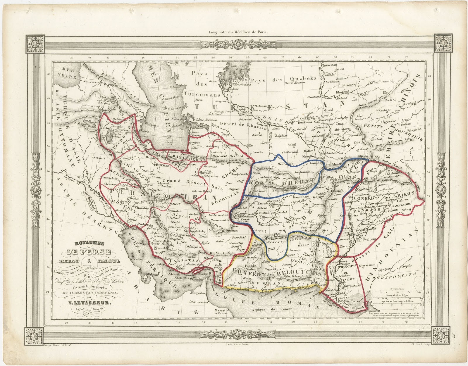
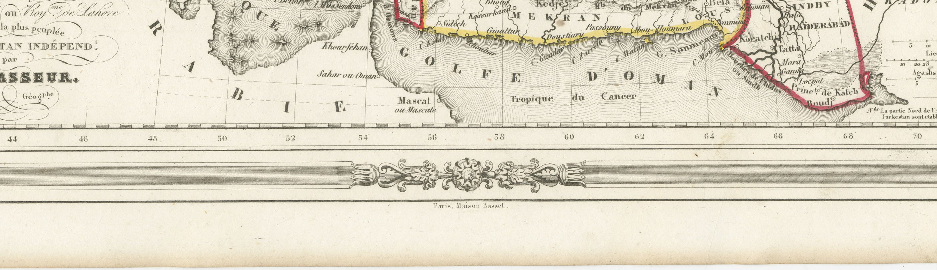
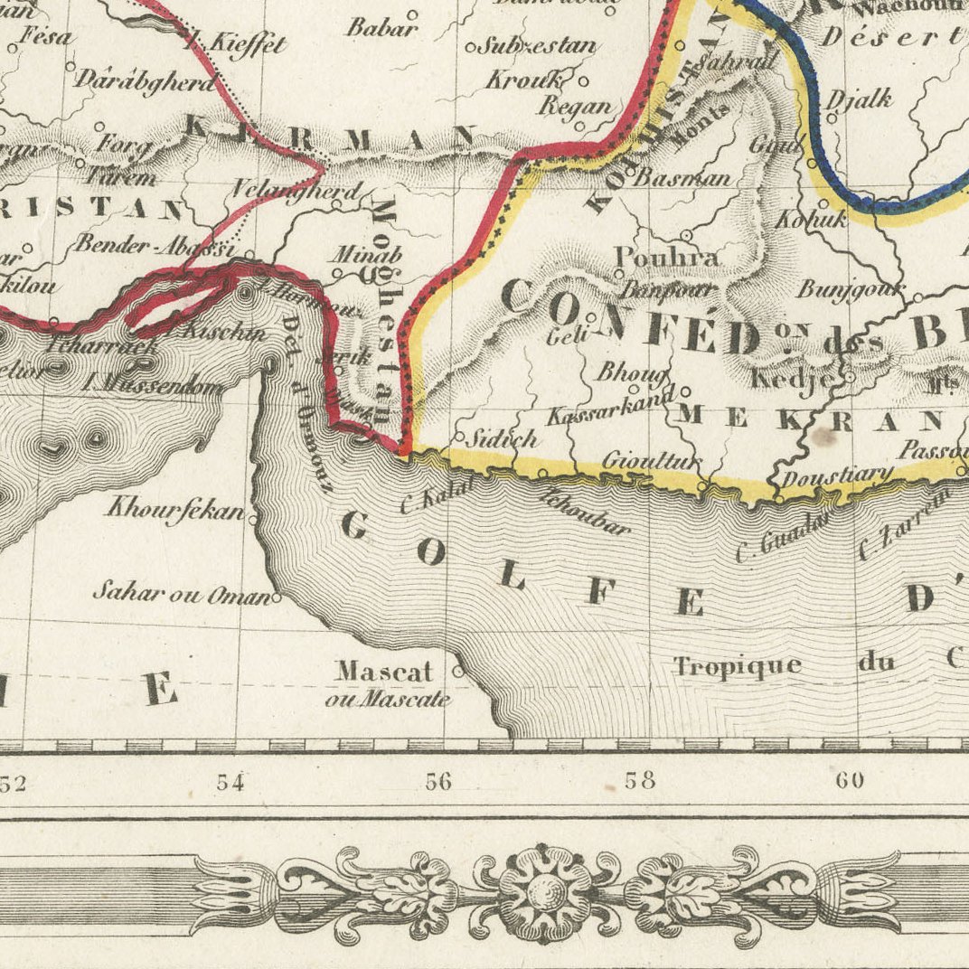
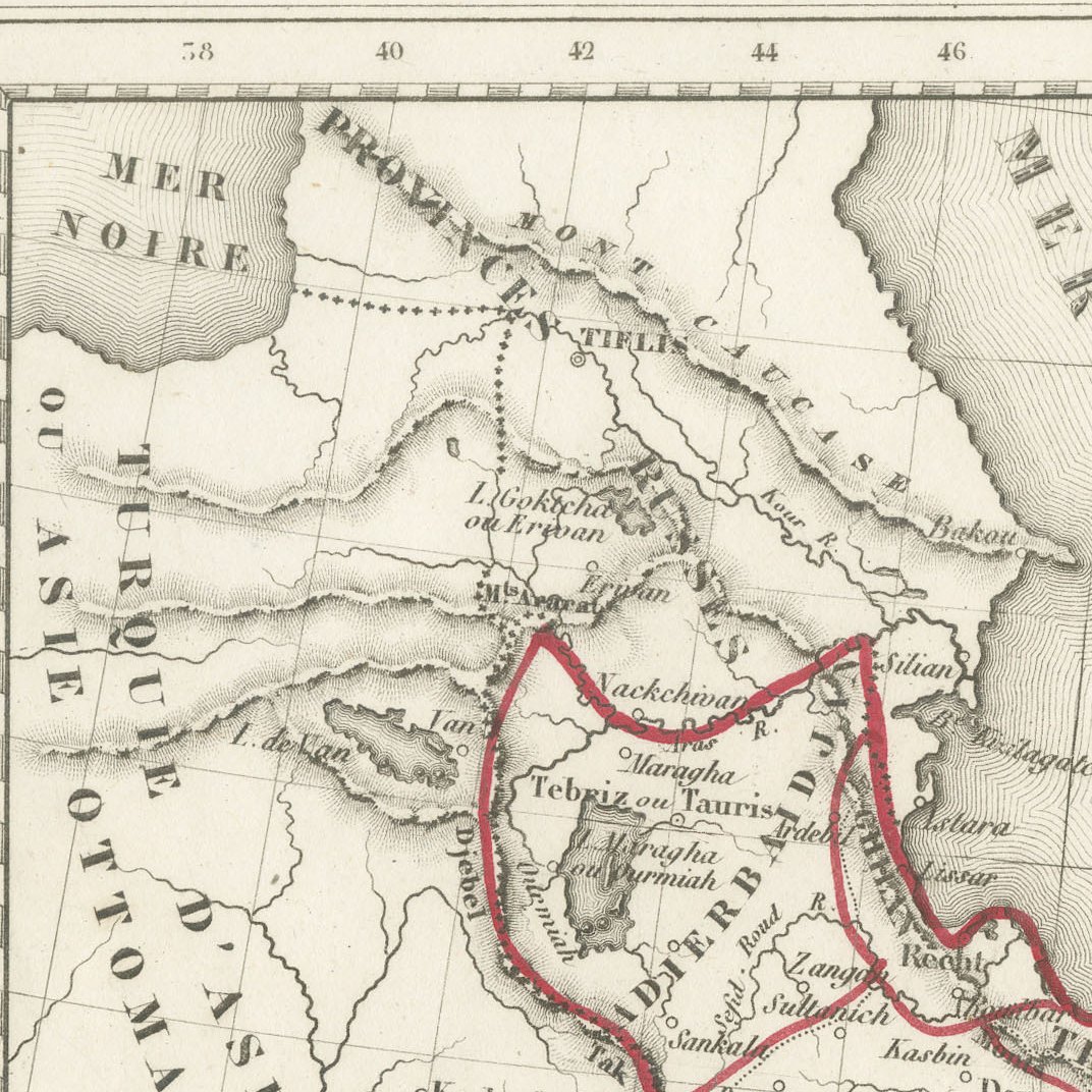
This antique map of Persia and Afghanistan by V. Levasseur, Ingénieur Géographe, was published in Paris by the Maison Basset around 1846. Its long title reads Royaumes de Perse, Herat et Kaboul, Confédération des Beloutchis, Principauté de Sindhy, Confédération des Seiks ou Royaume de Lahore et la partie la plus peuplée du Turkestan indépendant.
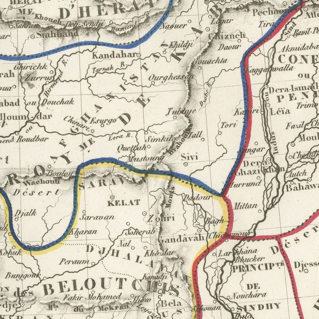
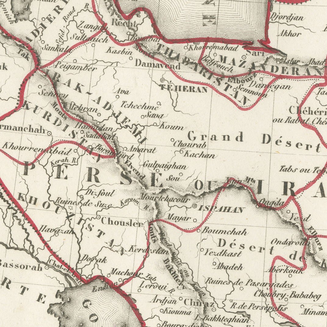
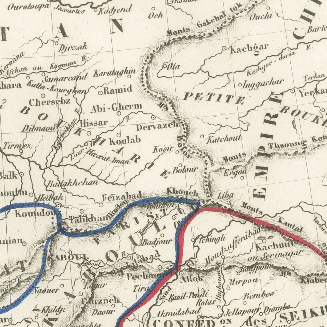
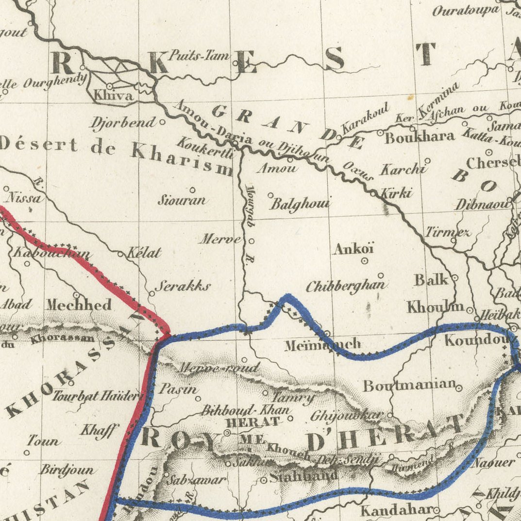
The map shows the region at the time of the First Anglo Afghan War and the Sikh wars, with Persia, the kingdoms of Herat and Kabul, the Baluch confederacy, Sindh and the Punjab outlined in red, blue and yellow. Teheran, Ispahan, Meched, Herat, Kaboul, Kandahar, Kelat and Lahore are named, together with Bokhara and Khiva in Turkestan, and an ornate classical border surrounds the whole sheet. It is numbered 22.
The Maison Basset of Paris published a handsome series of maps in the 1840s with elaborate engraved borders of classical ornament, designed by George and engraved by Charles Smith. These maps combined up to date geography with a strongly decorative presentation that suited both the library and the drawing room. Levasseur's maps for this series are noted for their clear engraving and handsome frames.
Documenting Afghanistan and the Punjab at a pivotal moment of the Great Game, this is a decorative and historically rich map for a collector of Iran, Afghanistan or Pakistan. Beyond its decorative appeal, a map of this kind records the place names, routes and political divisions known to travellers, merchants and scholars of its day, which gives it lasting value as a historical document.
The sheet is in good condition for its age, with light toning, small creases in the upper margin and light edge soiling; the image is clean and bright.
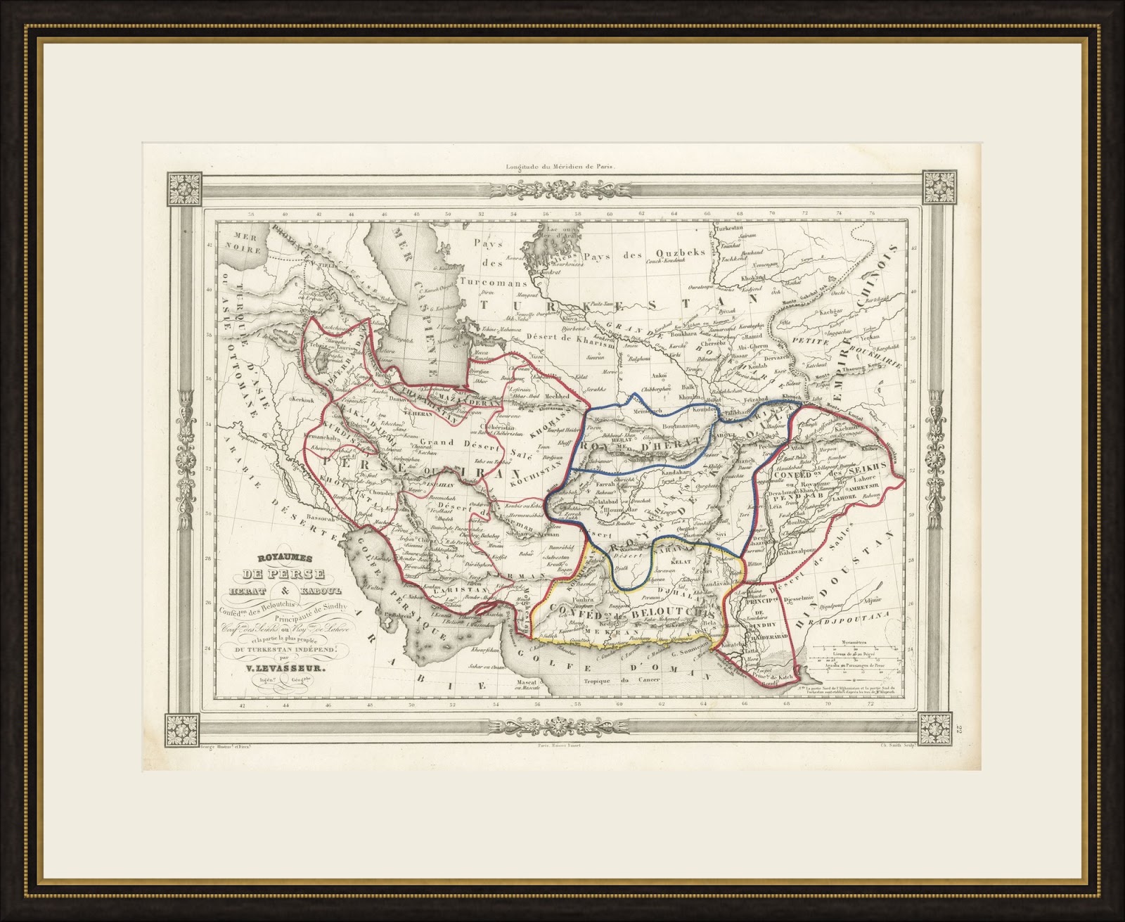
This is an original antique map, not a modern reproduction. This item is sold unframed. Any framed or interior images are shown for presentation and inspiration only, unless the listing explicitly states that the item is sold framed.