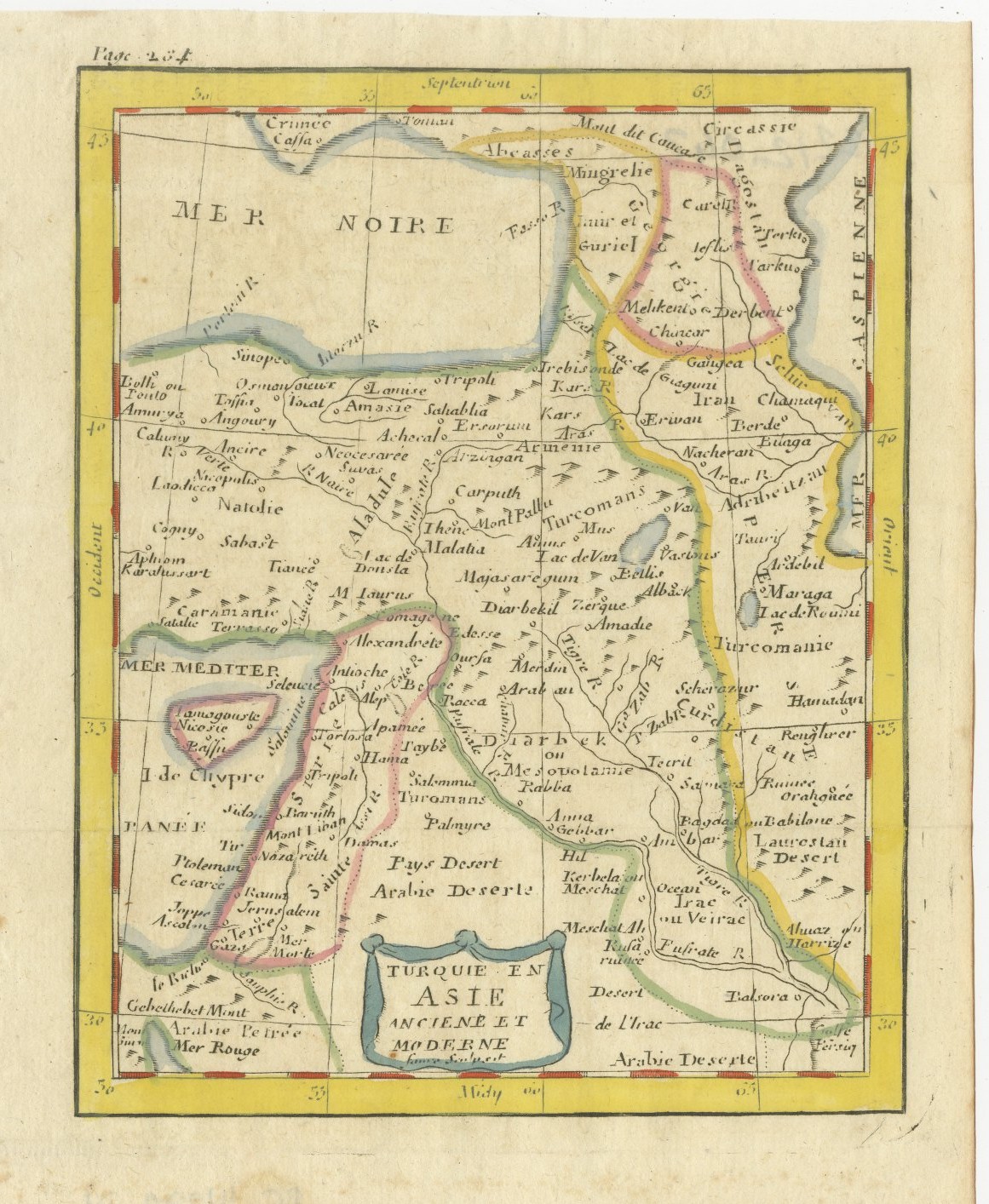
Antique Map of Turkey in Asia, Armenia and Mesopotamia, circa 1760
€ 195
Original antique · The actual sheet photographed · Certificate of authenticity on request · Sold unframed · Worldwide shipping from € 15 (rates)
Date
circa 1750-1770
Mapmaker / artist
Attributed to Claude Buffier
Publisher
Paris
Technique
Copper Engraving
Condition
Good
Reference
BG-14279-17
Condition
Good condition for its age. Faint fold lines, light toning; offsetting and a faint curved mark to the lower margin, a small spot to the upper right margin. Please review the images for further condition details.
About this sheet
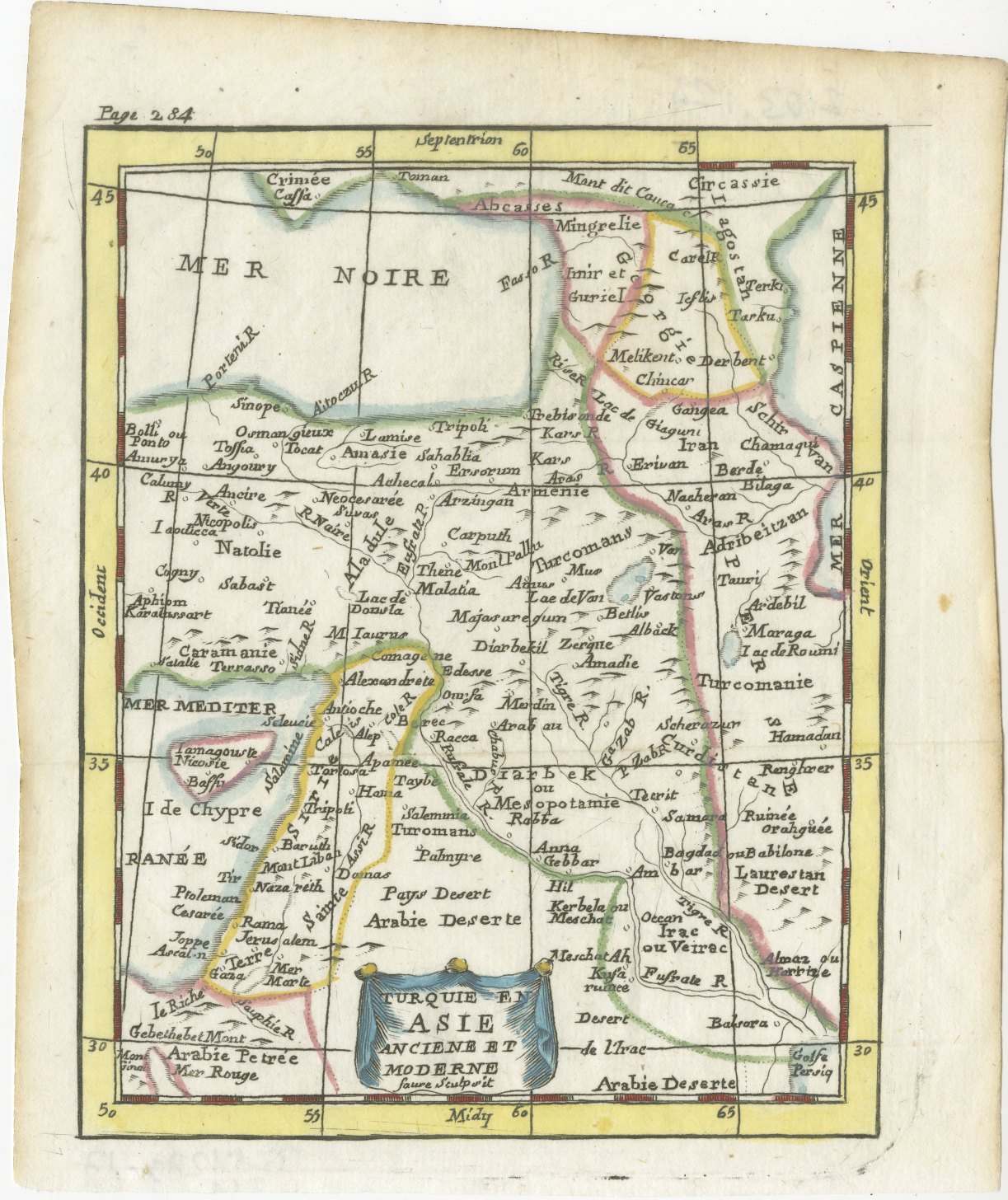
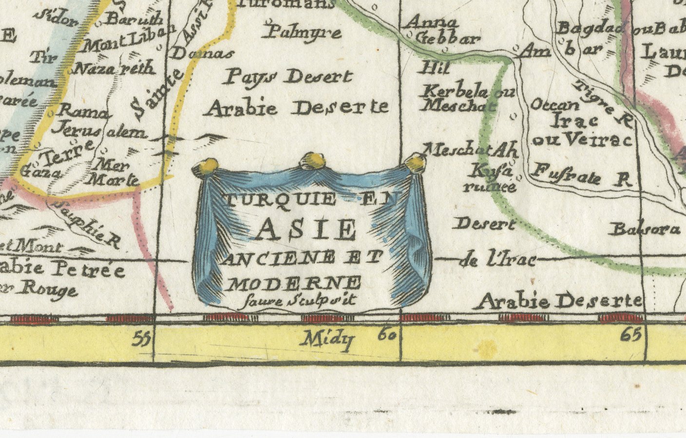
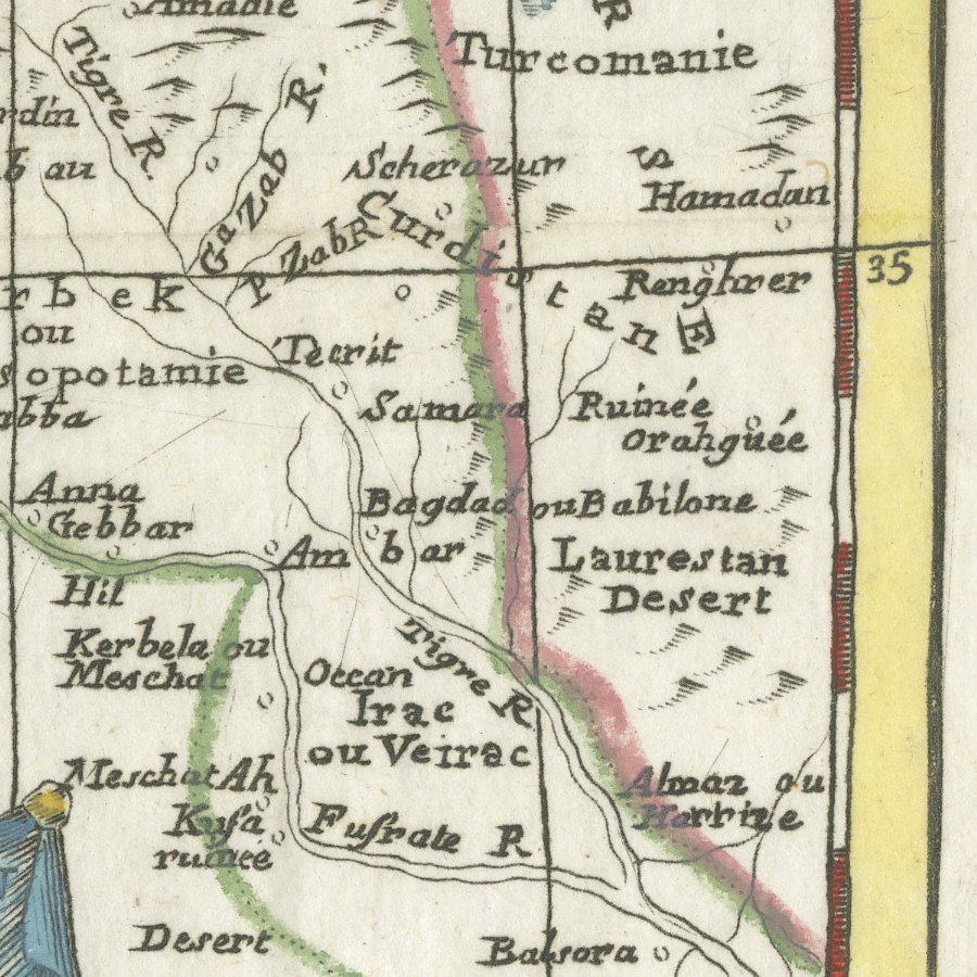
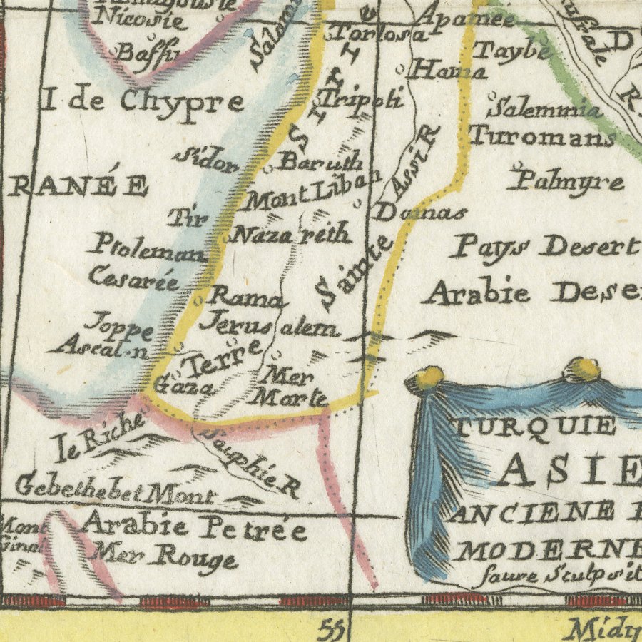
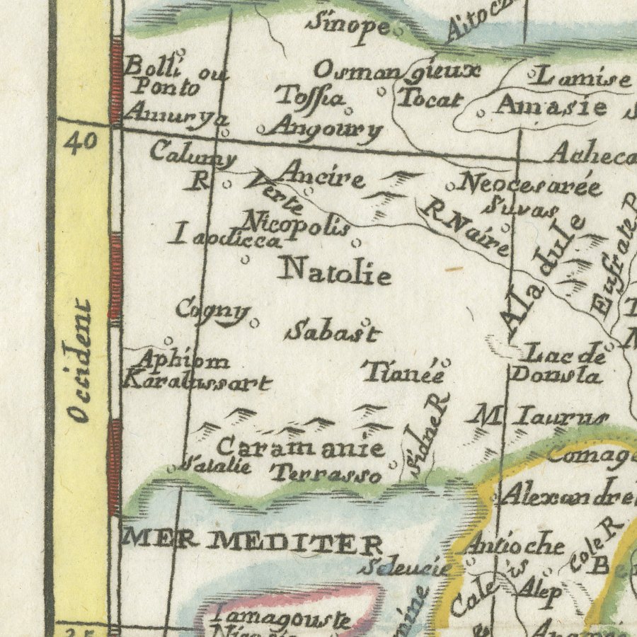
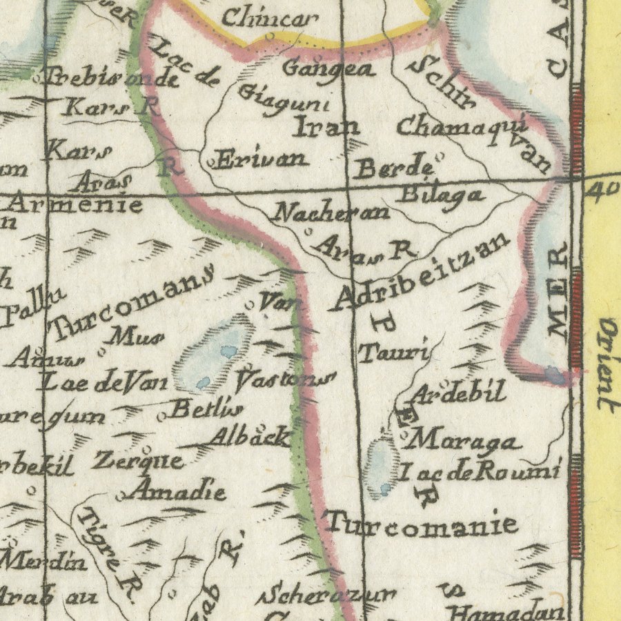
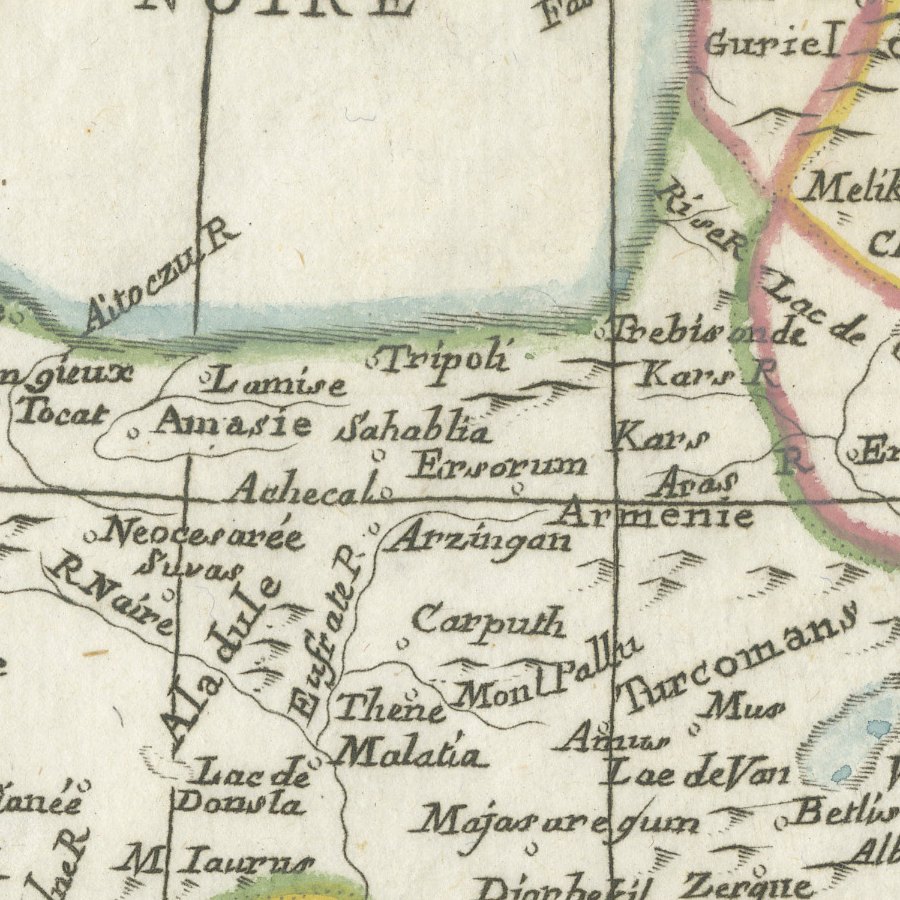
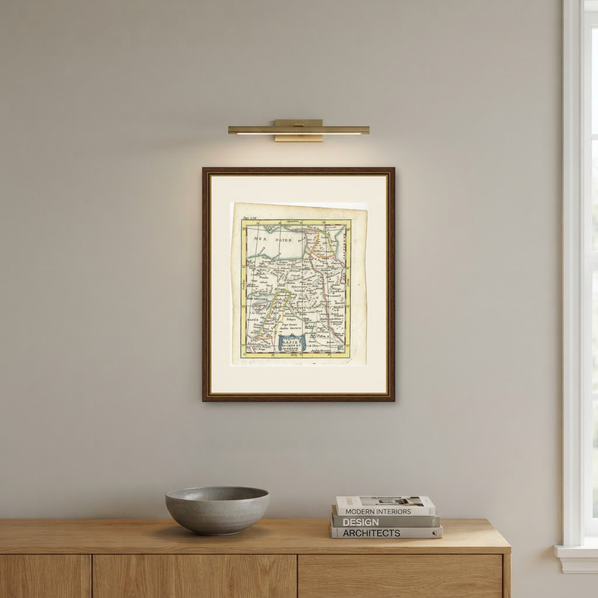
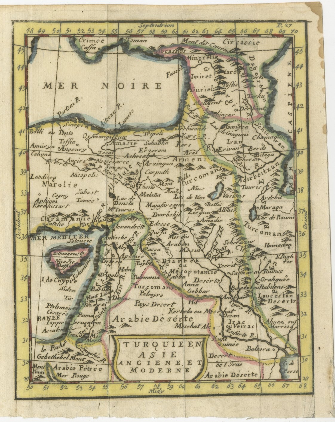
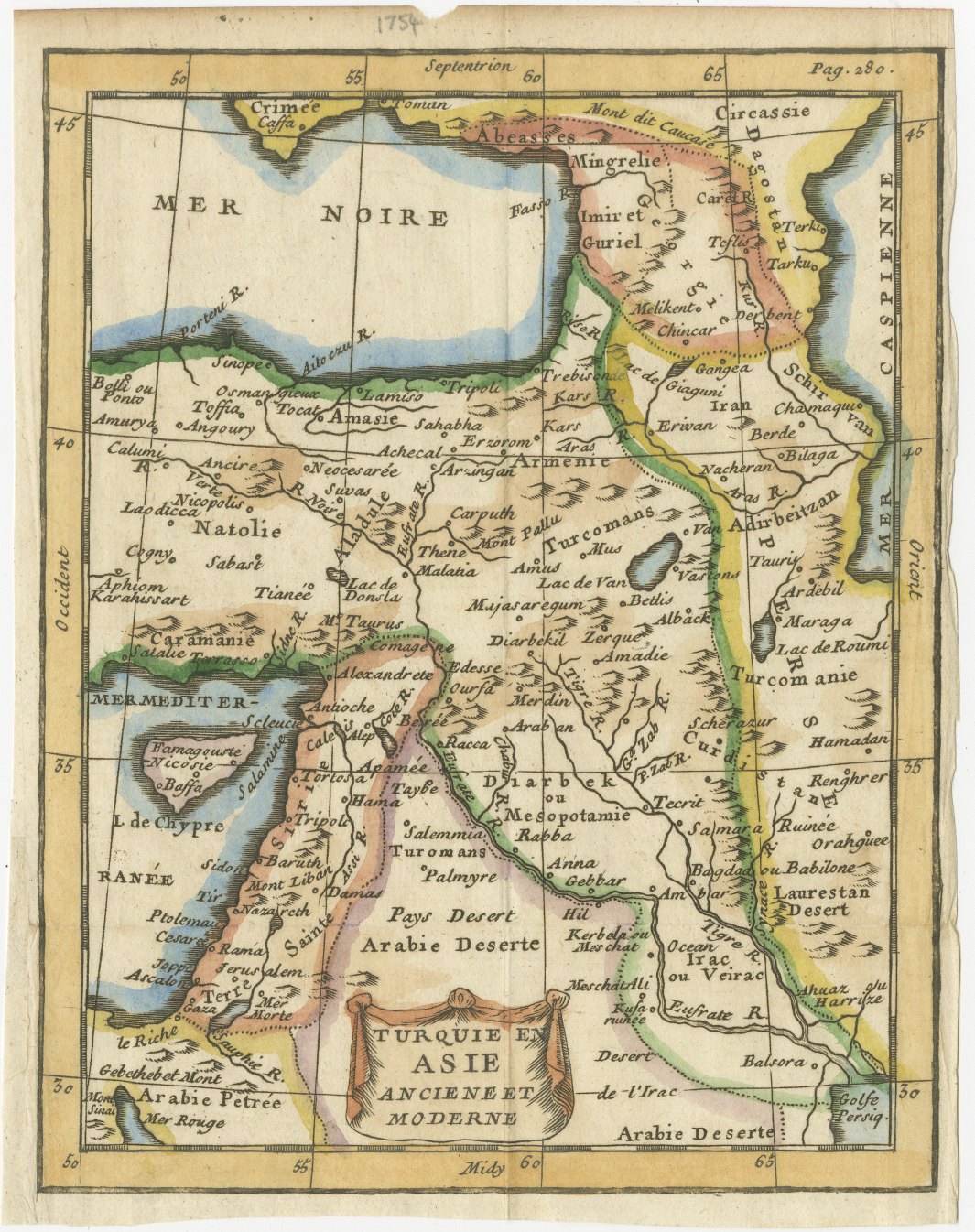
This small antique map of Turkey in Asia, titled Turquie en Asie ancienne et moderne, is believed to come from the Jesuit Claude Buffier's Géographie universelle, published in Paris in the middle of the eighteenth century. It carries the page reference Page 284 in the upper margin and a draped cartouche in the lower centre.
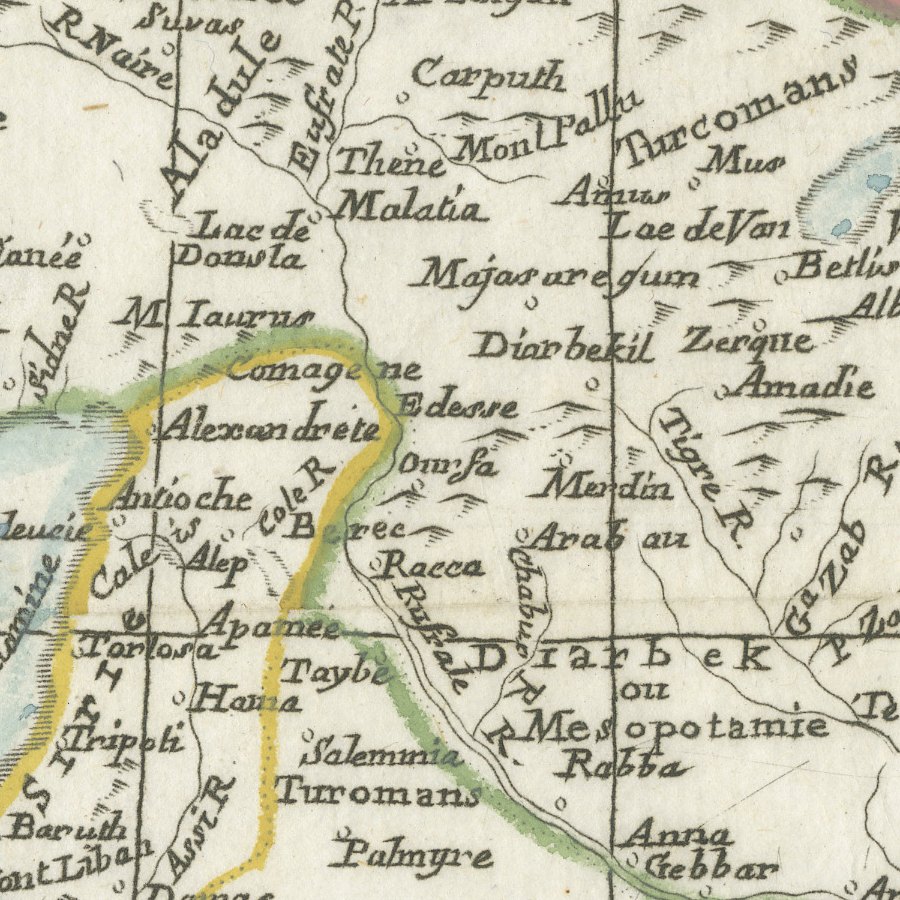
The map covers Anatolia, Armenia, Georgia and the Caucasus, Syria, the Holy Land and Mesopotamia, from the Black Sea and the Crimea south to the Arabian desert and the head of the Persian Gulf. Names such as Natolie, Caramanie, Erzerom, Diarbekir, Alep, Jerusalem, Bagdad ou Babilone and Balsora sit beside Kerbela and Meschat Ali, and the island of Cyprus appears with Famagouste and Nicosie. The cartouche is washed in blue and signed faintly beneath with an engraver's name ending in Sculpsit, and the frontiers are coloured by hand in yellow, green and pink.
Claude Buffier was a Jesuit scholar whose Géographie universelle, first published in Paris in the early eighteenth century, went through many editions and translations. Its small engraved maps, printed on the text pages of a pocket sized volume, were intended to help students memorise countries and their principal towns, and each map carries a page reference in the upper margin to link it to the relevant chapter. The style, with a draped cartouche and a graduated border, is simple, clear and decorative.
As an eighteenth century view of the Ottoman lands in Asia, this pocket map is an affordable and attractive introduction to early maps of Turkey, Syria and Iraq, and it looks particularly well in a small frame or in a group of related maps.
The sheet is in good condition for its age, with faint fold lines, light toning and some offsetting and a faint mark in the lower margin; the map itself is clean.
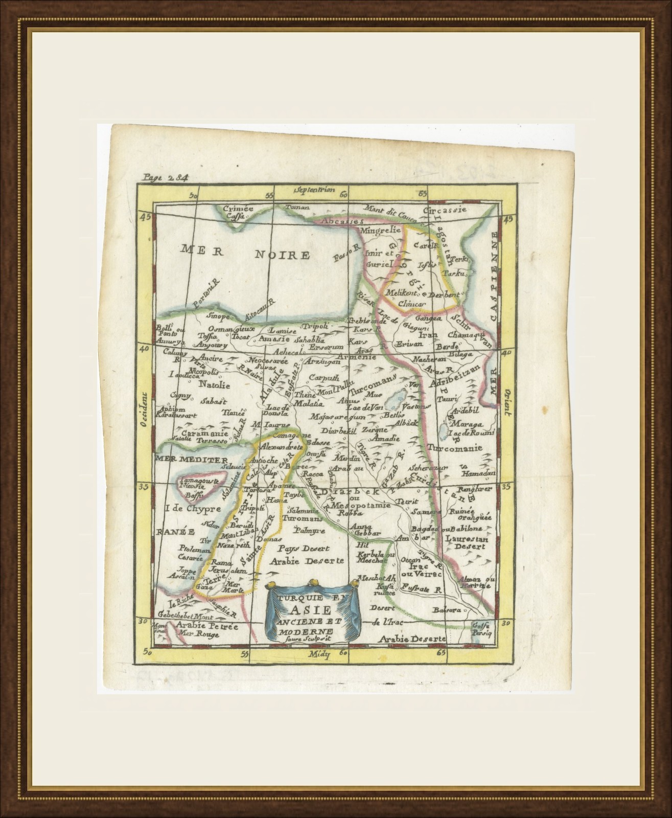
This is an original antique map, not a modern reproduction. This item is sold unframed. Any framed or interior images are shown for presentation and inspiration only, unless the listing explicitly states that the item is sold framed.